The best gravel rides around Dana Point
5.0
(2)
25
riders
6
rides
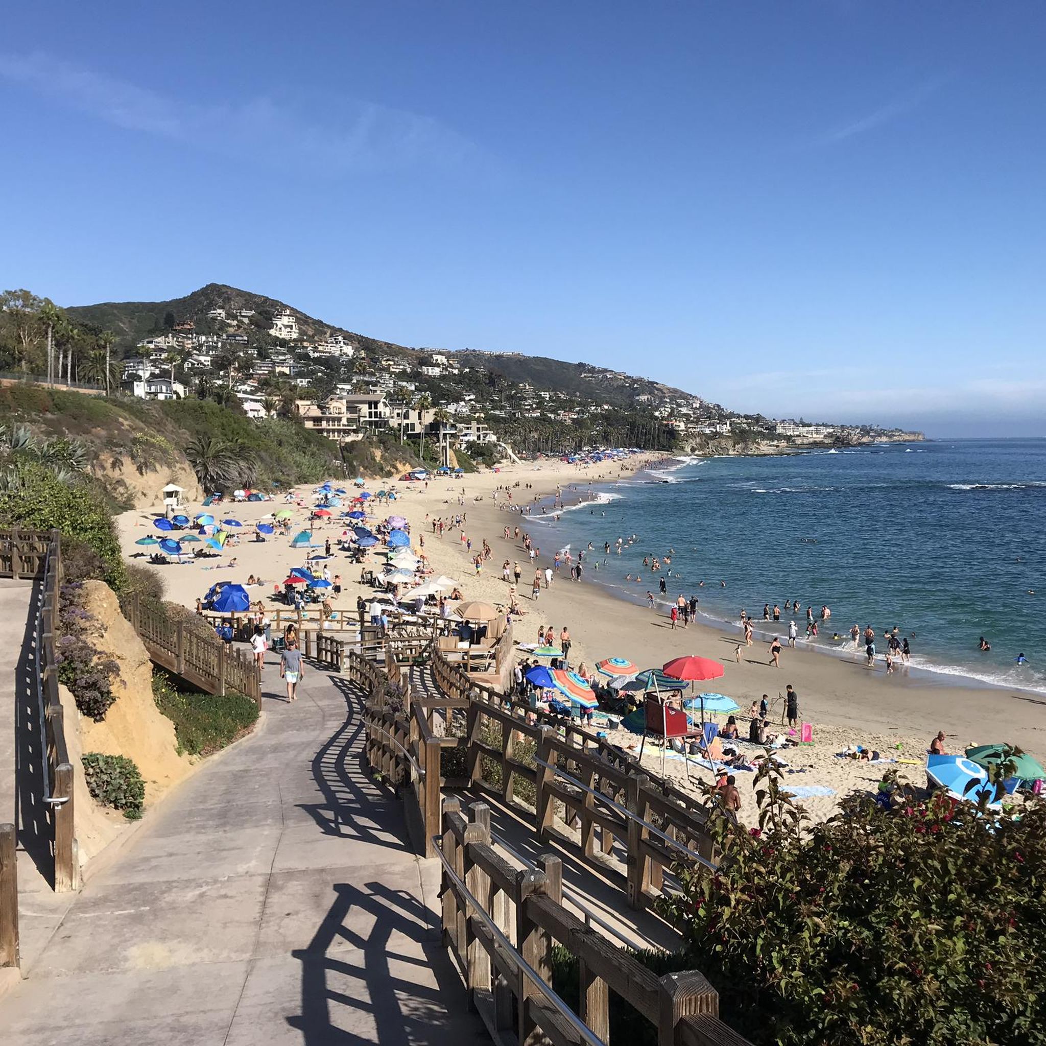
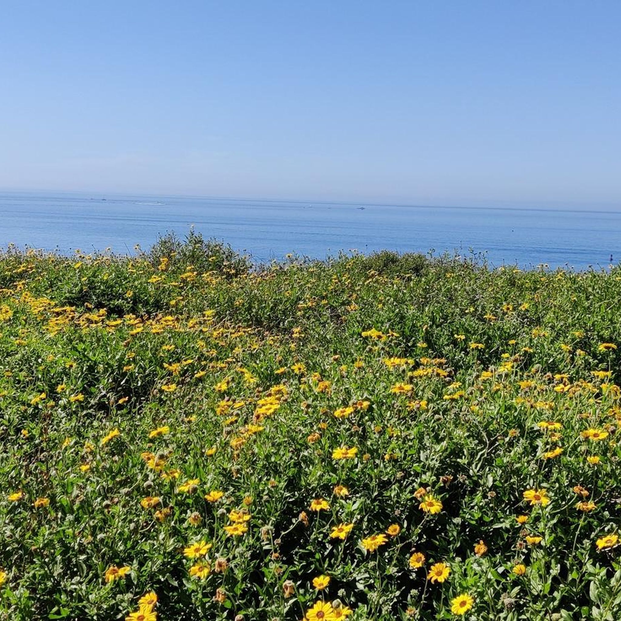
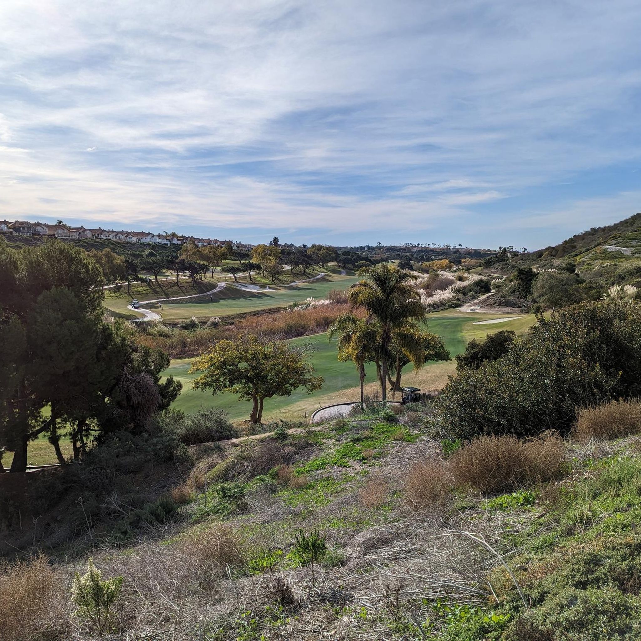
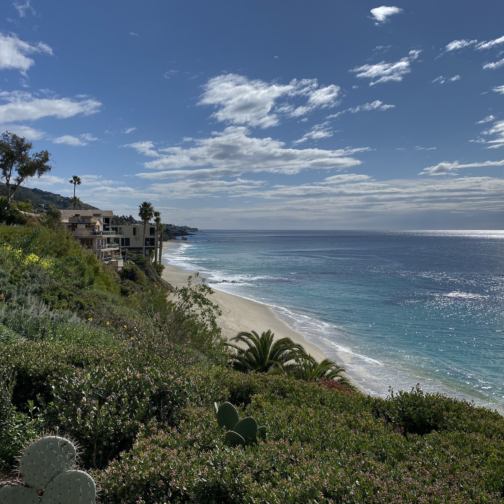
Gravel biking around Dana Point offers a diverse landscape for riders. The region features coastal bluffs, canyon trails, and inland hills, providing varied terrain. Routes often traverse state parks and natural preserves, incorporating both paved sections and unpaved paths. The area's topography includes moderate climbs and descents, with some routes reaching higher elevations in the surrounding canyons.
Best gravel bike trails around Dana Point
- The most popular gravel bike trail is Aliso Creek Bikeway – Aliso Creek Bikeway loop from…
Last updated: August 19, 2026
5.0
(1)
6
riders
29.6km
02:18
550m
550m
Hard gravel ride. Very good fitness required. Mostly paved surfaces. Suitable for all skill levels.
6
riders
Hard gravel ride. Very good fitness required. Mostly paved surfaces. Suitable for all skill levels.

Sign up for free
4
riders
87.5km
06:12
1,320m
1,320m
Hard gravel ride. Very good fitness required. Mostly paved surfaces. Suitable for all skill levels.
2
riders
13.5km
01:19
340m
340m
Moderate gravel ride. Good fitness required. Mostly paved surfaces. Suitable for all skill levels.
1
riders
42.8km
03:25
810m
810m
Hard gravel ride. Very good fitness required. Mostly paved surfaces. Suitable for all skill levels.
Our route recommendations are based on thousands of hikes, rides, and runs completed by other people on komoot.
Start today with a free account
Your next adventure awaits.
Login or Signup

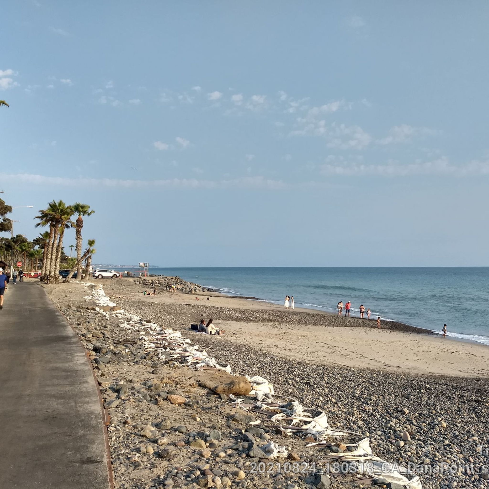
Other adventures around Dana Point

Tips from the Community

Explore Ladera Ranch Trails winding through canyons, along ridges, and along creeks of Mission Viejo.
0
0

The Mathis Canyon Trail is a tough climb in the Aliso and Wood Canyons Wilderness Park. There are a couple rolling sections to catch your breath, but be prepared for a tough (but fun) ride.
1
0

Santiago Canyon Road is a scenic favorite for road cyclists in Orange County. It’s a long, winding stretch with rolling hills, light traffic, and wide shoulders in most parts. The views of open hills and oak trees make the climb worth it, and you’ll find classic stops along the way for a break.
0
0
Cook’s Corner is a classic stop for cyclists riding through Santiago Canyon and one of the most popular biker hangouts in Southern California. It’s casual and bike-friendly, with shaded picnic tables and plenty of space to park. Grab a burger or a cold drink, rest your legs, and soak in the lively atmosphere—especially on weekends when it’s packed with motorcycles and live music.
0
0
Interesting bridge that takes you over Avenida La Pata. The bridge is open to cars as well as cyclists, but the bridge leads to dirt roads that take you through the hills, so it is normally very quiet.
0
0
Santiago Canyon Road is a great option for a ride with rolling hills and great views. As you get to the top of each hill, you are treated with a great view of the valley you just climbed out of.
0
0

This is a nice little loop around El Moro (now known as Crystal Cove). Some fun climbing, some fun downhill, some fun singletrack but mostly fire road. Nothing too techy.
0
0

The Buck Gully Trail is a really popular trail for hiking, biking and trail running, but it's an UPHILL ONLY trail for bikes. It's a fun, challenging climb where you can really push yourself.
1
0
Frequently Asked Questions
What kind of terrain can I expect on gravel bike trails around Dana Point?
Gravel biking around Dana Point features a diverse landscape, including coastal bluffs, canyon trails, and inland hills. Routes often traverse state parks and natural preserves, incorporating both paved sections and unpaved paths. You'll encounter moderate climbs and descents, with some routes reaching higher elevations in the surrounding canyons.
Are there gravel bike trails suitable for beginners or families in Dana Point?
Yes, while many routes offer significant challenges, there are options suitable for those looking for a more moderate experience. The Ladera Ranch Trails – Ladera Ranch Trails loop from Ladera Ranch is a moderate 7.5-mile (12.1 km) trail that leads through developed and natural areas, often completed in about 1 hour 15 minutes, making it a good choice for less experienced riders or families.
Which gravel bike trails offer the most challenging rides in the Dana Point area?
For advanced riders seeking a challenge, the region offers several difficult routes. The Aliso Creek Bikeway – Aliso Creek Bikeway loop from Laguna Niguel/Mission Viejo is a demanding 54.2-mile (87.2 km) trail with extensive bikeway sections and significant elevation gain. Another difficult option is the Coastal view – Crystal Cove State Park loop from Laguna Beach, which is 17.9 miles (28.9 km) and offers stunning coastal views.
Are there any long-distance gravel bike routes available near Dana Point?
Yes, for those looking for longer rides, the Wood Canyon Trail – Shady Canyon Trail loop from Laguna Niguel/Mission Viejo is a substantial 41.8-mile (67.2 km) route with over 4,000 feet (1240 m) of elevation gain, providing a full day's adventure.
What are the best times of year to go gravel biking in Dana Point?
Dana Point generally enjoys mild weather year-round, making it suitable for gravel biking in most seasons. Spring and fall offer particularly pleasant temperatures and clear skies. Winter riding is also feasible, though you might encounter cooler mornings and occasional rain, especially from December to March. Summers are warm but often tempered by coastal breezes.
Are there any scenic viewpoints or natural attractions along the gravel bike trails?
Many trails offer beautiful scenery. For coastal views, consider routes that pass through areas like Crystal Cove State Park. You can also find natural attractions nearby such as Crescent Bay Point Park, Cave Rock, and Dripping Cave (Robbers Cave). The Doheny State Beach – North Beach loop from Plaza By The Sea offers pleasant beachside riding.
Where can I find parking or trailheads for gravel biking in Dana Point?
Many of the gravel bike routes in the Dana Point area start from various points in nearby communities like Laguna Niguel/Mission Viejo, Laguna Beach, or Ladera Ranch. Specific parking information is usually detailed on individual route pages on komoot. For example, routes starting from state parks or beaches often have designated parking lots, such as those near Doheny State Beach.
Are there any loop trails for gravel biking in Dana Point?
Yes, many of the gravel bike routes in the area are designed as loops, allowing you to start and end at the same point. Examples include the Ladera Ranch Trails loop and the Doheny State Beach – North Beach loop, providing convenient circular journeys.
What do other gravel bikers enjoy most about riding in Dana Point?
Gravel bikers frequently praise the diverse landscape, which combines coastal paths with challenging canyon and inland hill trails. The variety of terrain, from extensive bikeways to unpaved sections in natural preserves, is often highlighted. Riders also appreciate the scenic coastal views and the options available for different skill levels.
Are there any less crowded or 'hidden gem' gravel trails in the Dana Point area?
While popular routes can see more traffic, exploring some of the inland canyon trails or those further from the immediate coastline might offer a more secluded experience. Checking the komoot tour planner for routes with fewer completions or exploring trails within less-known preserves can lead to quieter rides. The Wood Canyon Trail – Shady Canyon Trail loop, while challenging, offers extensive sections through natural areas that can feel more remote.
Most popular routes around Dana Point
Most popular attractions around Dana Point

Get inspired with the komoot mobile app


Explore more
Browse the best Gravel rides in other regions.
