The best gravel rides around Alameda
4.7
(56)
588
riders
19
rides
Gravel biking around Alameda offers a diverse landscape, from flat, scenic shoreline paths within the city to more challenging, hilly terrain in the nearby Oakland Hills. The region features urban green spaces like Jean Sweeney Open Space Park with dedicated biking paths. While Alameda itself provides accessible, less technical routes, the surrounding Alameda County offers varied terrain with significant ascents and descents. This combination provides options for different gravel biking experiences.
Best gravel bike trails around Alameda
- The most popular…
Last updated: October 14, 2026
15
riders
54.9km
04:26
1,040m
1,040m
Hard gravel ride. Very good fitness required. You may need to push your bike for some segments of this route.
4.8
(8)
40
riders
46.7km
03:34
920m
920m
Hard gravel ride. Very good fitness required. Mostly paved surfaces. Suitable for all skill levels.

4.6
(5)
27
riders
48.8km
03:44
880m
880m
Hard gravel ride. Very good fitness required. Mostly paved surfaces. Suitable for all skill levels.
5.0
(5)
76
riders
47.0km
03:20
920m
920m
Hard gravel ride. Very good fitness required. Mostly paved surfaces. Suitable for all skill levels.
5.0
(1)
29
riders
53.7km
03:59
1,020m
1,020m
Hard gravel ride. Very good fitness required. Mostly paved surfaces. Suitable for all skill levels.
Get access to more routes and recommendations from other explorers.
Already have an account?
Our route recommendations are based on thousands of hikes, rides, and runs completed by other people on komoot.
Start today with a free account
Your next adventure awaits.
Tips from the Community

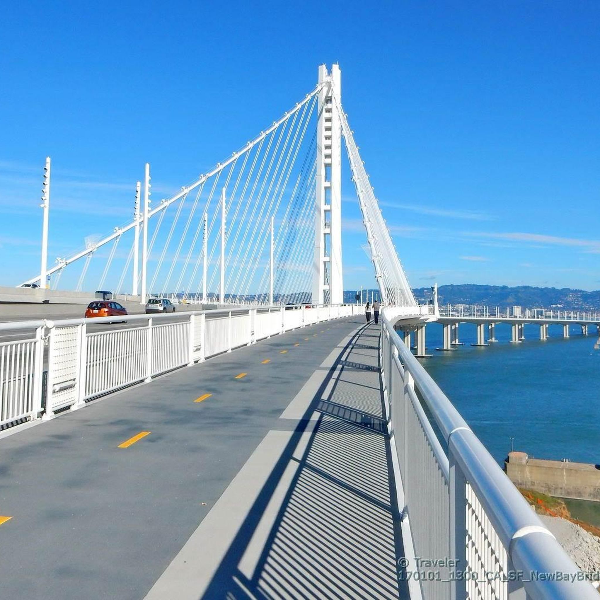
The bridge is more delicate than it appears at first glance.
0
0

Wildcat Creek Trail is a packed-dirt trail that is about four miles long. One end of the trail is at Jewel Lake, near the Environmental Education Center, and the other end of the trail is at the Alvarado Staging Area. This trail offers great views of Wildcat Creek and has some picnic tables you could stop at along the side of the trail.
0
0

A spectacular, safe cycle route across the bridge. Completely isolated from the cars.
1
0

The climb up Conzelman Road to Hawk Hill offers stunning views of San Francisco and the Golden Gate Bridge. The climb averages 5.8% grade, with the steepest sections reaching 8.6%. The climb is challenging, but distance-wise it is short, and the breathtaking views at the summit and on the descent make it a rewarding ride for cyclists taking on this hill.
1
0

This beautiful, wide forest trail skirts around the northwest flank of Round Top. While the entire loop around the mountain is open for hiking, this section is the only part allowed for cycling.
0
0
Tunnel Road and Skyline Boulevard to Grizzly Peak Boulevard are in an area that is popular with bikers. This hill has an average grade of 4.3%, a steady climb. Bikers enjoy windy roads and views of homes and Bay Area architecture.
0
0
With rolling climbs up and down, this area is wooded, paved, and often foggy. When the fog breaks, enjoy photo opportunities of the Bay Area.
0
0

A nice reward after climbing up Tunnel Road and Skyline Boulevard!
0
0
Frequently Asked Questions
How many gravel bike trails are available in Alameda?
There are over 25 gravel bike routes around Alameda listed on komoot. These range from flat shoreline paths within the city to more challenging, hilly terrain in the nearby Oakland Hills, offering diverse options for all skill levels.
What kind of terrain can I expect on gravel bike trails around Alameda?
Gravel biking in Alameda offers a mix of terrain. You'll find largely flat, scenic shoreline paths, such as those along the Alameda shoreline and Hayward Shoreline, which are great for casual rides. For more adventurous experiences, the nearby Oakland Hills provide varied landscapes with significant ascents and descents, natural surfaces, and tree cover in areas like Joaquin Miller Park and Reinhardt Redwoods Regional Park.
Are there easy gravel bike trails suitable for beginners in Alameda?
Yes, Alameda offers several accessible options for beginners and families. The Alameda shoreline trails, part of the wider Bay Trail network, are largely flat with protected bike lanes or shared paths, offering stunning views without technical features. The Hayward Shoreline trails are also suitable for children and single-speed bikes. While komoot lists mostly difficult routes in the immediate area, these flat, paved-adjacent options are excellent starting points for gravel bikes.
Where can I find more challenging gravel bike routes near Alameda?
For more challenging gravel biking, head to the Oakland Hills, a short distance from Alameda. Routes like the Skyline and Grizzly Park Blvd loop — Berkeley (34.1 miles, 1042m elevation gain) or the Joaquin Miller Park – Skyline Boulevard loop from MacArthur (28.8 miles, 900m elevation gain) offer significant ascents, descents, and varied landscapes, requiring good to very good fitness.
What scenic views or landmarks can I see while gravel biking in Alameda?
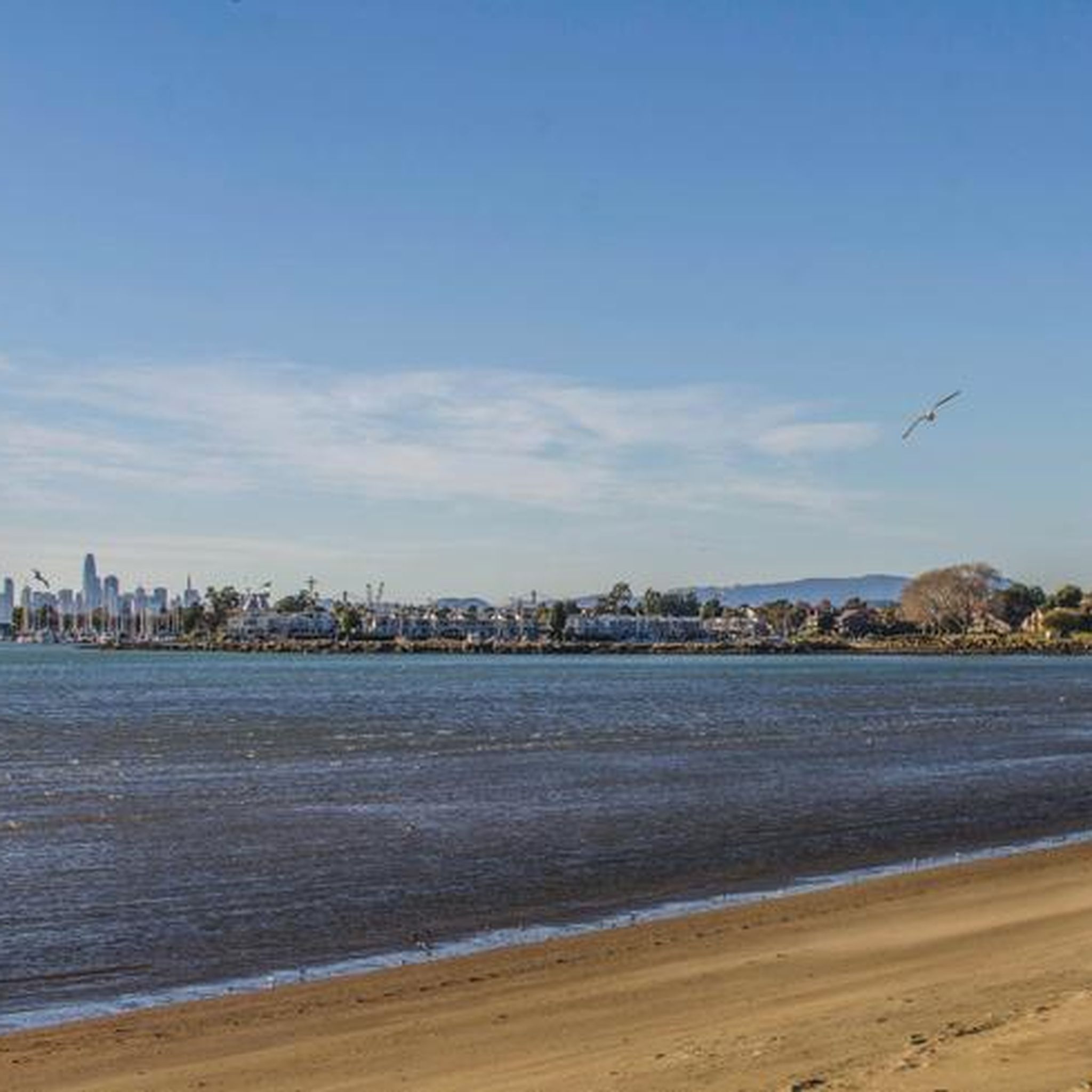
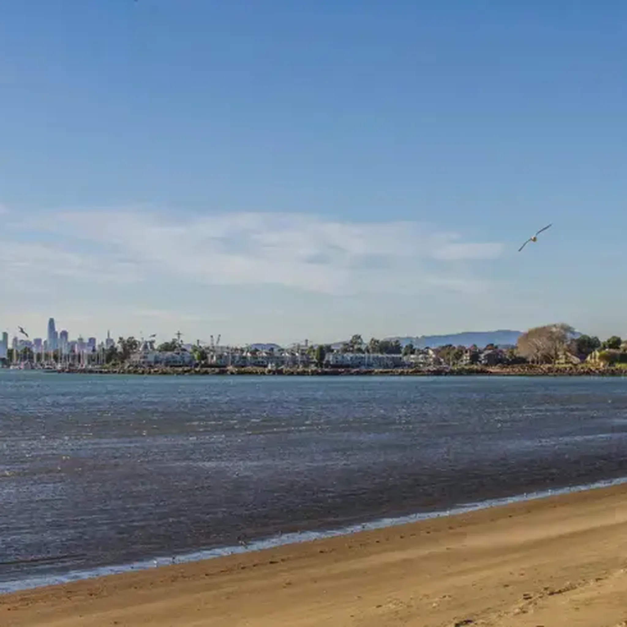
Many routes offer picturesque views of the San Francisco Bay, the Oakland hills, and the San Francisco skyline. You can also pass by attractions like Aquatic Park Beach or Point Emery. The Ohlone Park – Wildcat Creek Trail loop from MacArthur provides views of the eastern grasslands, while routes in the Oakland Hills offer tree cover and expansive vistas.
Are there any circular gravel bike routes available?
Yes, many of the gravel bike routes around Alameda are designed as loops. Examples include the Skyline and Grizzly Park Blvd loop — Berkeley, the Joaquin Miller Park – Skyline Boulevard loop from MacArthur, and the Ohlone Park – Wildcat Creek Trail loop from MacArthur, allowing you to start and end at the same point.
What do other gravel bikers enjoy most about gravel biking in Alameda?
The komoot community highly rates the gravel biking experience in Alameda, with an average score of 4.6 stars from over 27 reviews. Over 400 gravel bikers have explored the area, often praising the diverse terrain that ranges from flat, scenic shoreline paths to challenging, hilly routes in the Oakland Hills, providing options for various preferences and fitness levels.
Is parking available near gravel bike trails in Alameda?
While specific parking details vary by trail, many regional parks and open spaces in and around Alameda, such as Jean Sweeney Open Space Park and various access points to the Bay Trail, offer designated parking areas. For routes in the Oakland Hills, trailheads often have parking lots, though they can fill up on busy days.
Can I access gravel bike trails in Alameda using public transport?
Alameda and the wider East Bay area are served by public transport options, including AC Transit buses and BART (Bay Area Rapid Transit), which can get you close to many trail access points. Some routes, particularly those starting in Oakland, may be more easily accessible via public transport. It's advisable to check specific route starting points and public transport schedules for the most convenient access.
What is the best time of year for gravel biking in Alameda?
Gravel biking in Alameda is enjoyable year-round due to California's mild climate. Spring and fall offer pleasant temperatures and often clear skies, making them ideal. Summers are generally warm and dry, perfect for early morning or late afternoon rides. Winters are mild with occasional rain, but many trails remain rideable, especially the less technical, paved-adjacent paths.
Are there any hidden gem gravel bike trails in Alameda?
While the main trails are popular, exploring the lesser-known sections of the Bay Trail network or the varied paths within urban green spaces like Jean Sweeney Open Space Park can reveal quieter, scenic stretches. For a more rugged 'hidden gem' feel, delve into the extensive trail systems of regional parks like Sunol Regional Wilderness, which offers rugged landscapes and scenic spots like Little Yosemite, providing a different kind of gravel experience.
Are there any gravel routes that pass by lakes or bodies of water?
Yes, several areas offer gravel biking near water. The Alameda shoreline trails provide continuous views of the San Francisco Bay. While the Alameda Creek Trail is paved, the adjacent Quarry Lakes Regional Recreation Area offers varied terrain with views of its lakes. Further afield, Lake Merritt in Oakland is a popular spot, and Lake Chabot Regional Park and Lake Del Valle Regional Park feature large lakes with trails offering breathtaking views.
Most popular routes around Alameda
Most popular attractions around Alameda

Get inspired with the komoot mobile app


Explore more
Browse the best Gravel rides in other regions.
