The best gravel rides around Area A (Baynes Sound)
4.5
(3)
55
riders
6
rides
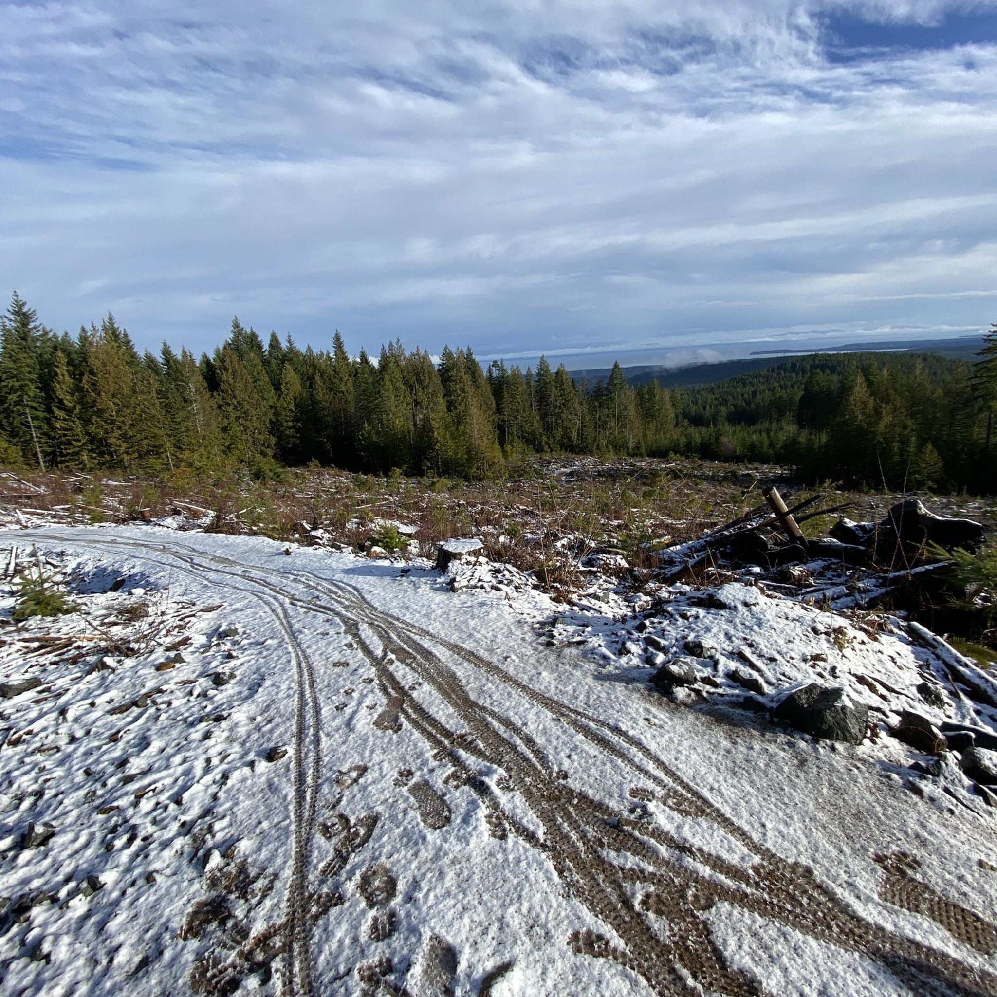
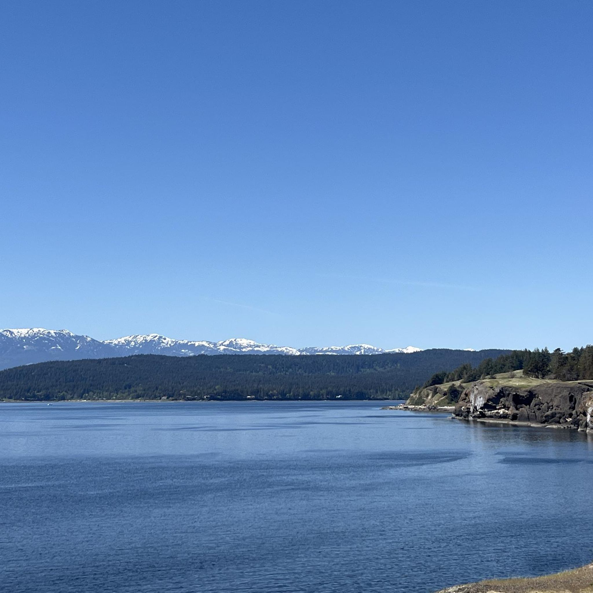
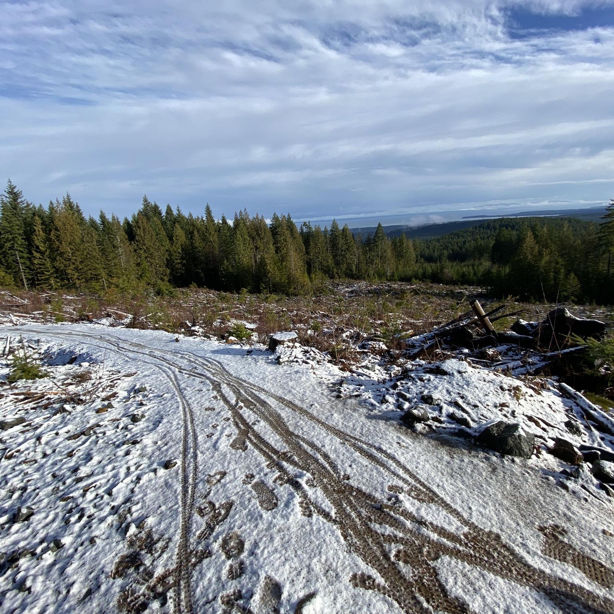
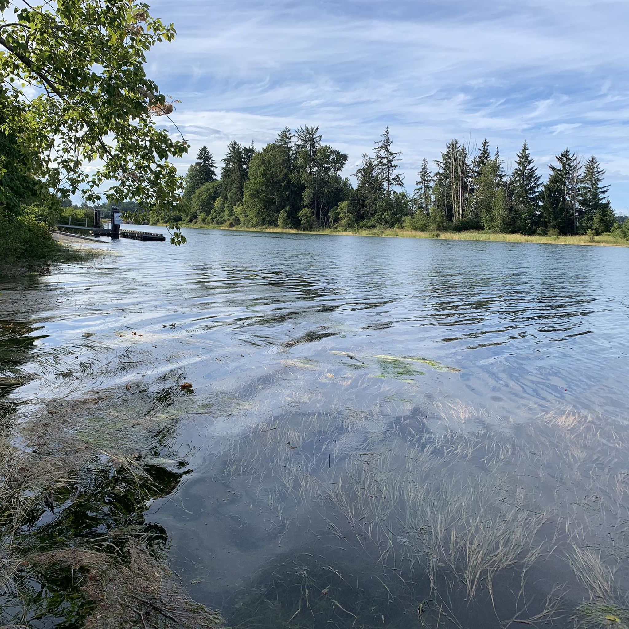
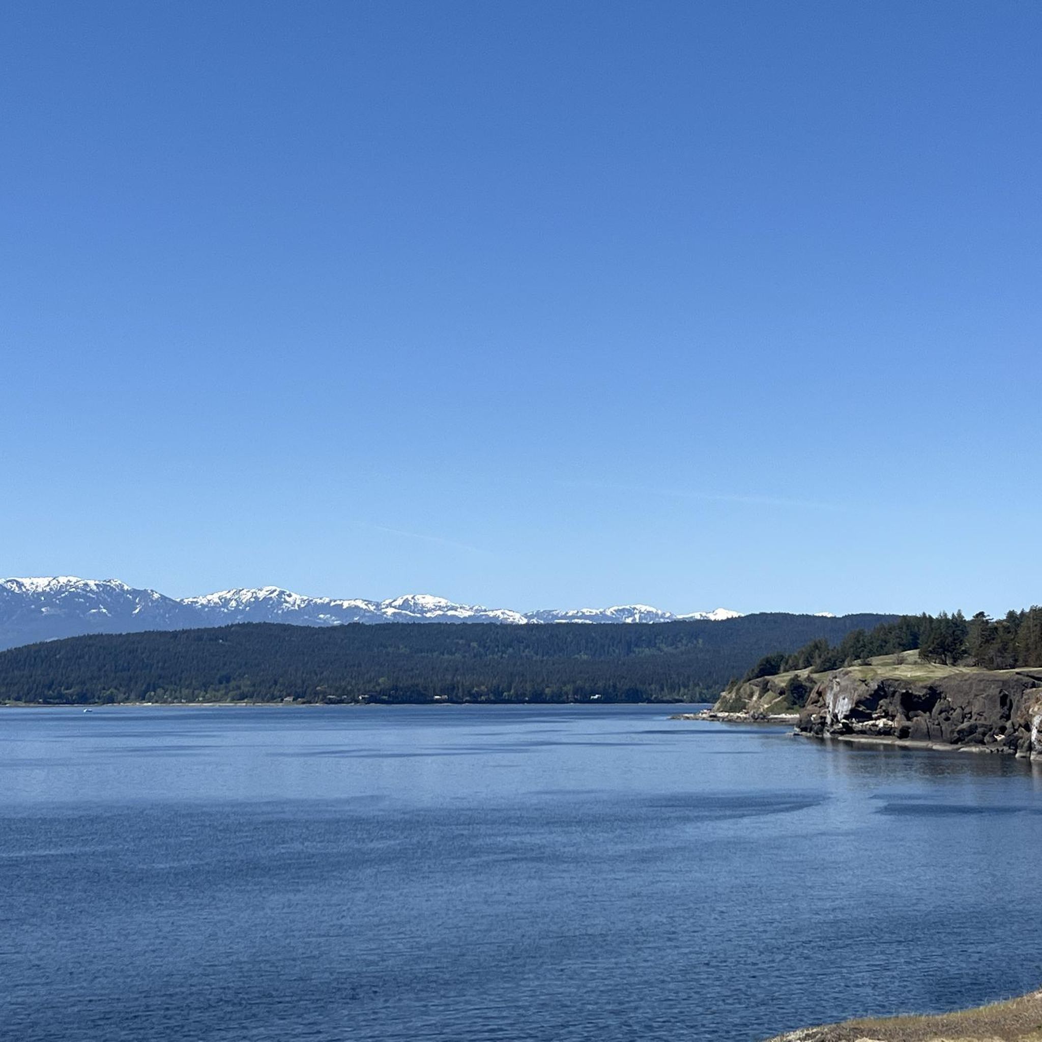
Gravel biking around Area A (Baynes Sound) offers diverse landscapes, from coastal channels and protected bays to extensive second-growth forests. The region features a mix of terrain, including wide gravel logging roads, well-maintained forest trails, and sections that can be challenging. This area, situated between Vancouver Island and Denman Island, provides varied environments for gravel cyclists.
Best gravel bike trails around Area A (Baynes Sound)
- The most popular gravel bike trail is Courtenay Airpark – Cumberland Brewing Co. loop from Cumberland, a 37.2 miles (59.8 km) trail that takes 3 hours 54 minutes to complete. This route is known for its challenging segments and requires good fitness.
- Another top favourite among local gravel bikers is Shingle Spit – Ford's Cove Marina loop from Boyle Point Protected Area, a moderate 18.4 miles (29.6 km) path. This trail offers varied scenery, including coastal views and forested sections.
- Local gravel bikers also love the One Spot Trailhead – Courtenay Airpark loop from Courtenay, a 15.1 miles (24.3 km) trail leading through forested areas and along the Courtenay Airpark, often completed in about 1 hour 59 minutes.
- Gravel biking around Area A (Baynes Sound) is defined by coastal paths, dense woodlands, and former logging roads. The network offers options for different ability levels, from moderate rides to more difficult routes.
- The routes in Area A (Baynes Sound) are highly rated by the komoot community with an average score of 4.2 stars from more than 10 reviews. More than 70 gravel bikers have used komoot to explore Area A (Baynes Sound)'s varied terrain.
Last updated: October 20, 2026
4.0
(2)
22
riders
56.0km
03:45
430m
430m
Moderate gravel ride. Good fitness required. Mostly paved surfaces. Suitable for all skill levels.
5.0
(1)
7
riders
24.9km
01:36
190m
190m
Moderate gravel ride. Good fitness required. Mostly paved surfaces. Suitable for all skill levels.

10
riders
28.8km
01:50
290m
290m
Moderate gravel ride. Good fitness required. Mostly paved surfaces. Suitable for all skill levels.
4
riders
39.8km
02:54
690m
690m
Hard gravel ride. Very good fitness required. Mostly paved surfaces. Suitable for all skill levels.
7
riders
85.7km
06:30
990m
990m
Hard gravel ride. Very good fitness required. Mostly paved surfaces. Suitable for all skill levels.
Our route recommendations are based on thousands of hikes, rides, and runs completed by other people on komoot.
Start today with a free account
Your next adventure awaits.
Tips from the Community

Great place to fuel up pre or post ride.
0
0
Great food and home brewed beer. Definitely a great stop after a day of mountain biking!
0
0

Very nice path to take me out of Courtenay.
0
0

Wildwood Interpretive Forest is a popular natural area located near Courtenay in the Comox Valley. Covering approximately 276 hectares (682 acres), the forest features an extensive network of well-maintained multi-use trails that provide opportunities for hiking, trail running, mountain biking, and nature appreciation. Surrounded by the beauty of Vancouver Island’s coastal landscape, the forest offers visitors a peaceful setting for outdoor recreation and exploration.
0
0
This vintage British Columbia legal survey monument, located within the Wildwood Interpretive Forest, is a fascinating reminder of the province’s rich history of land measurement, mapping, and resource management. Constructed from durable materials such as metal or concrete, these markers were designed to withstand the elements and remain identifiable for generations.
0
0

You can park on Piercy Road across from the yellow gate under the power lines, by the K'omos Treat Lands sign. From here, walk past the yellow gate and follow the powerline trail for a short ways to reach the turnoff for the falls.
0
0
The Hazy Pale and the IPA are among the best on the island
0
0
This is an active logging road...be aware, listen, and be prepared for a lot of dust if it's the dry season
0
0
Frequently Asked Questions
How many gravel bike trails are available in Area A (Baynes Sound)?
There are 9 gravel bike trails documented on komoot for Area A (Baynes Sound), offering a range of experiences from moderate to difficult.
What kind of terrain can I expect on gravel bike trails in Area A (Baynes Sound)?
The terrain in Area A (Baynes Sound) is diverse, featuring coastal paths, dense second-growth woodlands, and former logging roads. You'll encounter a mix of wide, smooth gravel sections and potentially rutted or muddy areas, especially after heavy rain. Some routes, like the Courtenay Airpark – Cumberland Brewing Co. loop from Cumberland, include challenging segments that may require pushing your bike.
Are there any beginner-friendly gravel bike trails in Area A (Baynes Sound)?
While many routes are moderate to difficult, there are options suitable for various skill levels. The One Spot Trailhead – Courtenay Airpark loop from Courtenay is rated as moderate and can be completed in about 2 hours, making it a good choice for those looking for a less strenuous ride.
What are some natural features or landmarks I might see along the gravel bike trails?
Area A (Baynes Sound) is rich in natural beauty. You might encounter diverse shorelines, tidal estuaries, and forests of Douglas fir and western hemlock. Notable attractions in the vicinity include the scenic Nymph Falls, the unique China Bowls, and the stunning views from Helliwell Provincial Park.
Are there any loop trails for gravel biking in Area A (Baynes Sound)?
Yes, many of the gravel bike routes in the area are designed as loops. For example, the Shingle Spit – Ford's Cove Marina loop from Boyle Point Protected Area offers varied scenery including coastal views and forested sections, making for a great circular ride.
What is the best time of year for gravel biking in Area A (Baynes Sound)?
The region offers year-round gravel biking opportunities. While routes are generally smooth, they can become rutted and muddy after heavy rain, so drier seasons might be preferable for some. The area is also an Important Bird Area, making spring and fall excellent for wildlife spotting.
Are there any family-friendly gravel biking options in Area A (Baynes Sound)?
While specific 'easy' routes aren't highlighted, some moderate trails with less elevation gain, such as the One Spot Trailhead – Courtenay Airpark loop from Courtenay, could be suitable for families with older children or those comfortable with moderate distances and terrain.
Where can I park when accessing gravel bike trails in Area A (Baynes Sound)?
Many routes start from communities like Courtenay or Cumberland, where parking is generally available. For specific trailheads, it's advisable to check the individual route details on komoot for designated parking areas or nearby access points.
What do other gravel bikers enjoy most about gravel biking in Area A (Baynes Sound)?
The komoot community highly rates the gravel biking experience in Area A (Baynes Sound), with an average score of 4.2 stars. Reviewers often praise the diverse landscapes, from coastal views to dense forests, and the variety of routes catering to different fitness levels.
Are there any cafes or amenities near the gravel bike trails in Area A (Baynes Sound)?
Small communities like Royston, Union Bay, Fanny Bay, and Deep Bay dot the Vancouver Island side of Baynes Sound. These towns offer potential stops for refreshments, cafes, or other amenities. Routes starting from Courtenay or Cumberland also provide access to local businesses.
Can I spot wildlife while gravel biking in Baynes Sound?
Yes, Baynes Sound is recognized as an Important Bird Area, making it excellent for birdwatching. You might spot wintering waterbirds, shorebirds, and summer-moulting seaducks. The marine life, including seals and sea lions, also adds to the appeal, especially near coastal sections.
Are there any challenging gravel routes for experienced riders?
Absolutely. For experienced riders seeking a challenge, routes like the One Spot Trailhead – Medicine Bowls Trail loop from Courtenay, with significant elevation gain, or the longer Cumberland Brewing Co. – Cumberland Community Forest loop from Courtenay, offer demanding rides through varied terrain.
Most popular routes around Area A (Baynes Sound)
Most popular attractions around Area A (Baynes Sound)

Get inspired with the komoot mobile app


Explore more
Browse the best Gravel rides in other regions.
