The best running trails around Area A (Baynes Sound)
4.2
(9)
187
runners
14
runs
Jogging around Area A (Baynes Sound) offers a diverse landscape situated between Vancouver Island and Denman Island. The region is characterized by a blend of coastal and forested environments, featuring protected bays, varied shorelines, and tidal estuaries. These natural features provide a range of scenic running routes, from beach runs with views of the Strait of Georgia to shaded paths through adjacent forests. The area includes hills and varied terrain suitable for different fitness levels.
Best jogging routes around Area…
Last updated: October 8, 2026
36
runners
24.1km
02:57
410m
410m
Hard run. Very good fitness required. Mostly accessible paths. Some sure footedness required.
22
runners
12.3km
01:35
380m
380m
Hard run. Very good fitness required. Mostly accessible paths. Some sure footedness required.

4.0
(1)
16
runners
8.47km
01:02
140m
140m
Moderate run. Good fitness required. Mostly paved surfaces. Suitable for all skill levels.
6
runners
9.49km
01:05
120m
120m
Moderate run. Good fitness required. Mostly paved surfaces. Suitable for all skill levels.
3.5
(2)
9
runners
24.5km
03:09
550m
550m
Hard run. Very good fitness required. Mostly accessible paths. Some sure footedness required.
Get access to more routes and recommendations from other explorers.
Already have an account?
Our route recommendations are based on thousands of hikes, rides, and runs completed by other people on komoot.
Start today with a free account
Your next adventure awaits.

Tips from the Community

Highly recommend a visit to Cumberland if you are on Vancouver Island. Great riding area!
0
0


Located at the quiet dead-end of Hatton Road in the Courtenay-Royston area of Vancouver Island, this spot sits close to the edge of the Chinook Forest Woodlands, a well-known local trail network that includes routes like Moe's Misery.
0
0

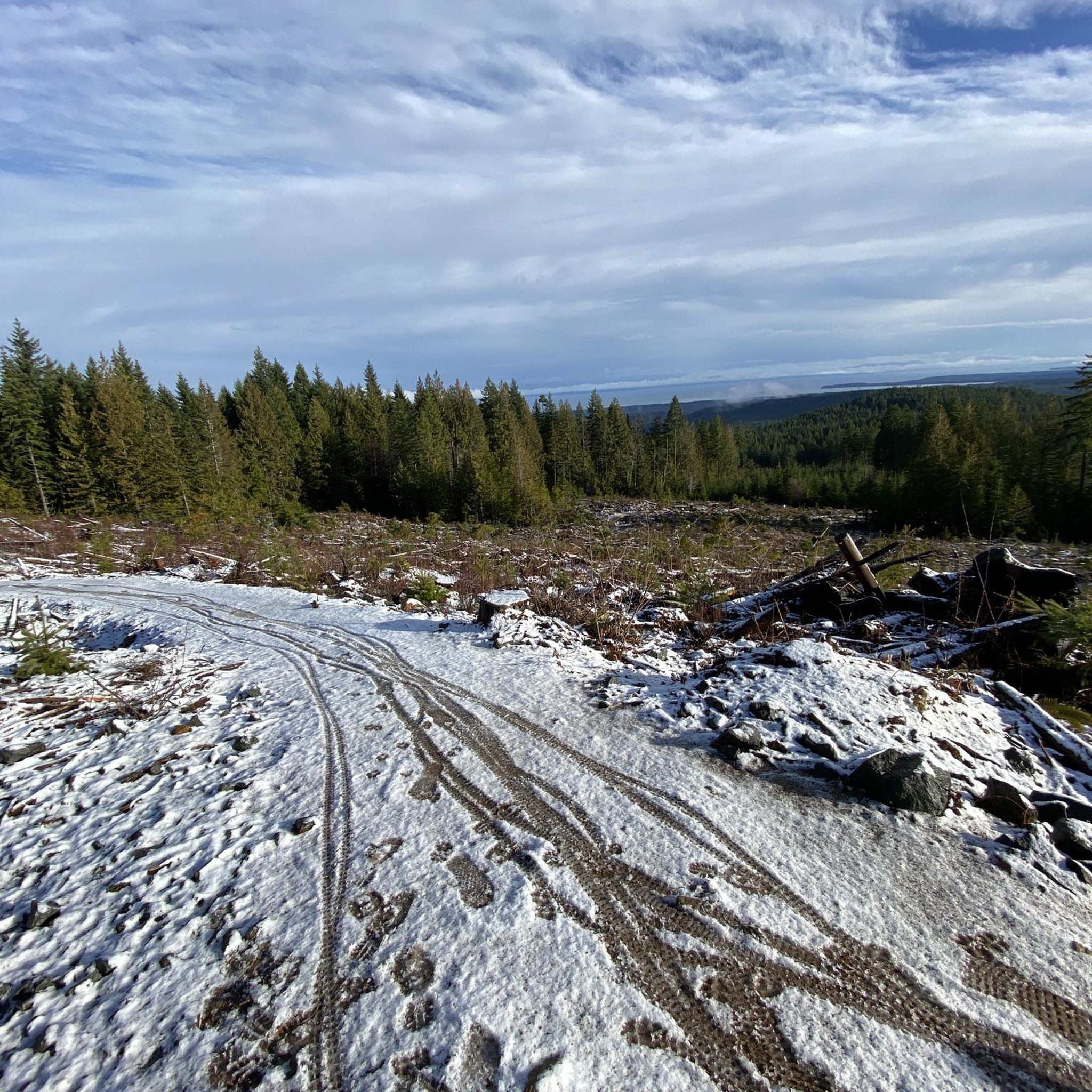
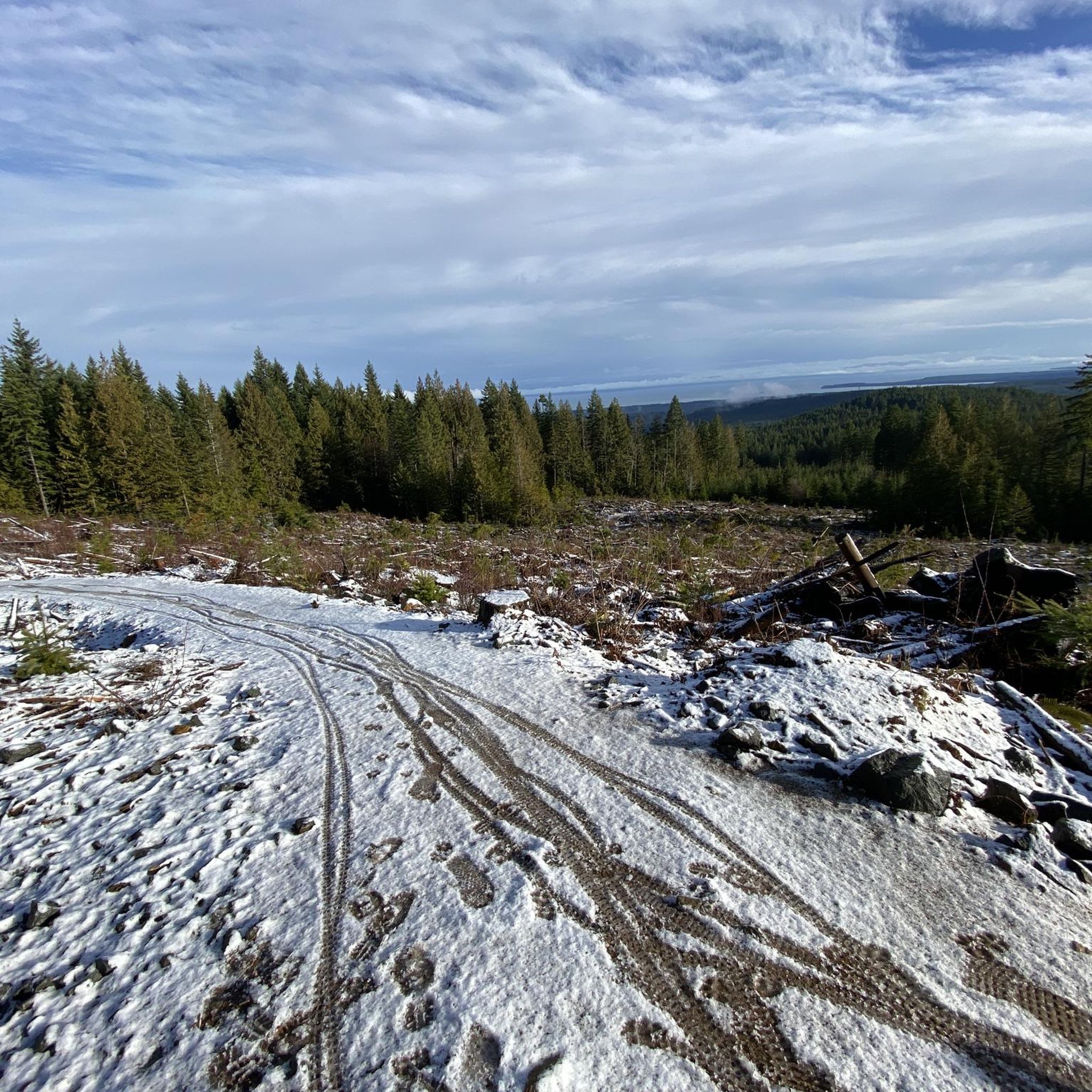
Davis Lake Main is an old, wide gravel logging road, now used for recreation. It is usually smooth but after heavy rain it can become rutted, and muddy. It takes hikers and bikers through forests of Douglas fir and western hemlock, and past Perseverance Creek and China Pools.
0
0
Cumberland Community Forest stretches more than 500 acres, and is mostly second-growth coastal forest with a web of well-maintained trails. These trails are open to hiking, mountain biking and trail running.
0
0
The China Bowls are created by Perseverance Creek, which flows with cold and clear water, smoothing stone ledges into deep basins that glow turquoise when the sun hits them. The pools are named after the nearby historic Chinatown site, and are surrounded by ferns, cedars, and Douglas fir.
0
0
Frequently Asked Questions
How many running routes are available in Area A (Baynes Sound)?
There are currently 18 diverse running routes available in Area A (Baynes Sound) on komoot. These routes cater to various fitness levels, including easy, moderate, and difficult options, ensuring there's something for every runner.
Are there easy running routes suitable for beginners in Baynes Sound?
Yes, Baynes Sound offers easy running routes perfect for beginners. For instance, the Running loop from Craigdarroch is an easy 2.0-mile (3.2 km) trail that takes about 23 minutes to complete, leading through local community paths.
What kind of scenery can I expect on the running trails in Baynes Sound?
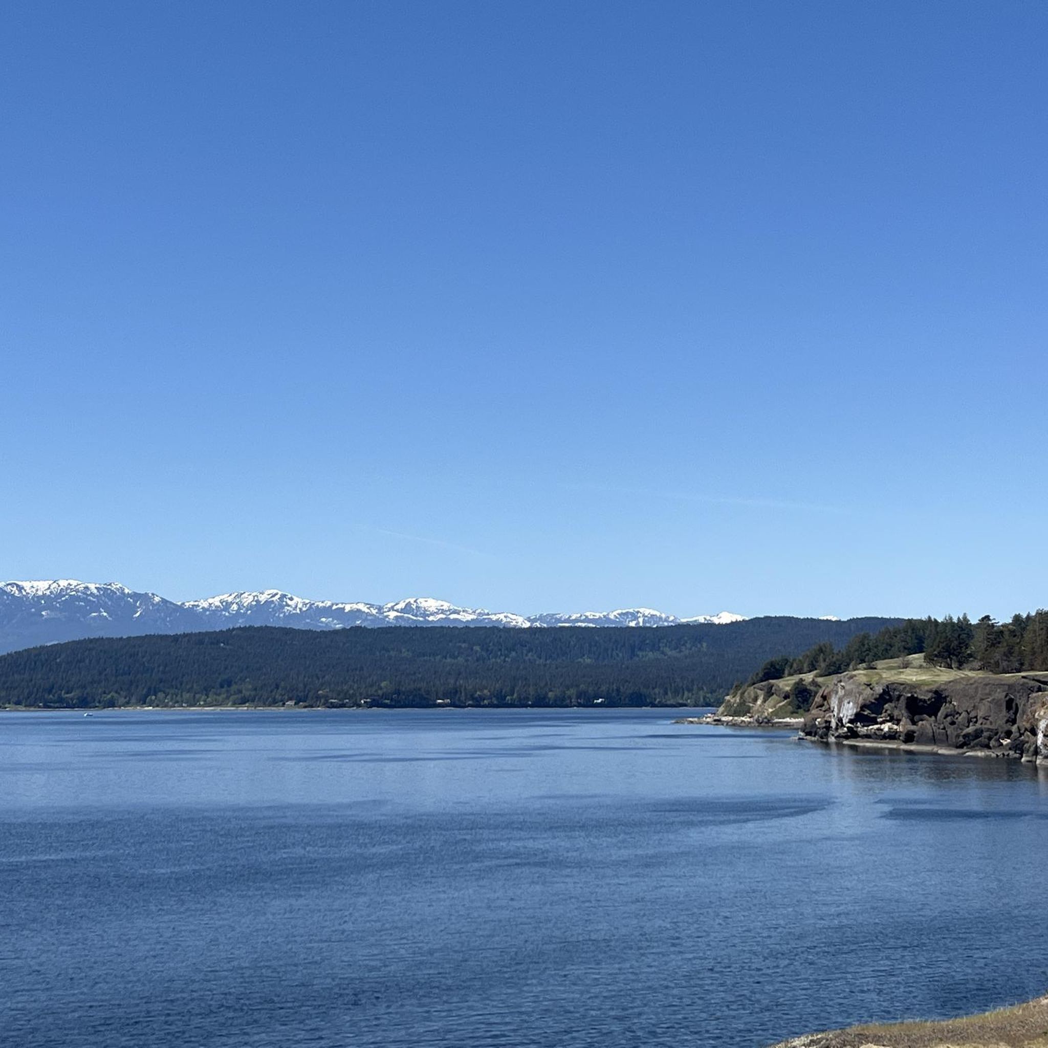
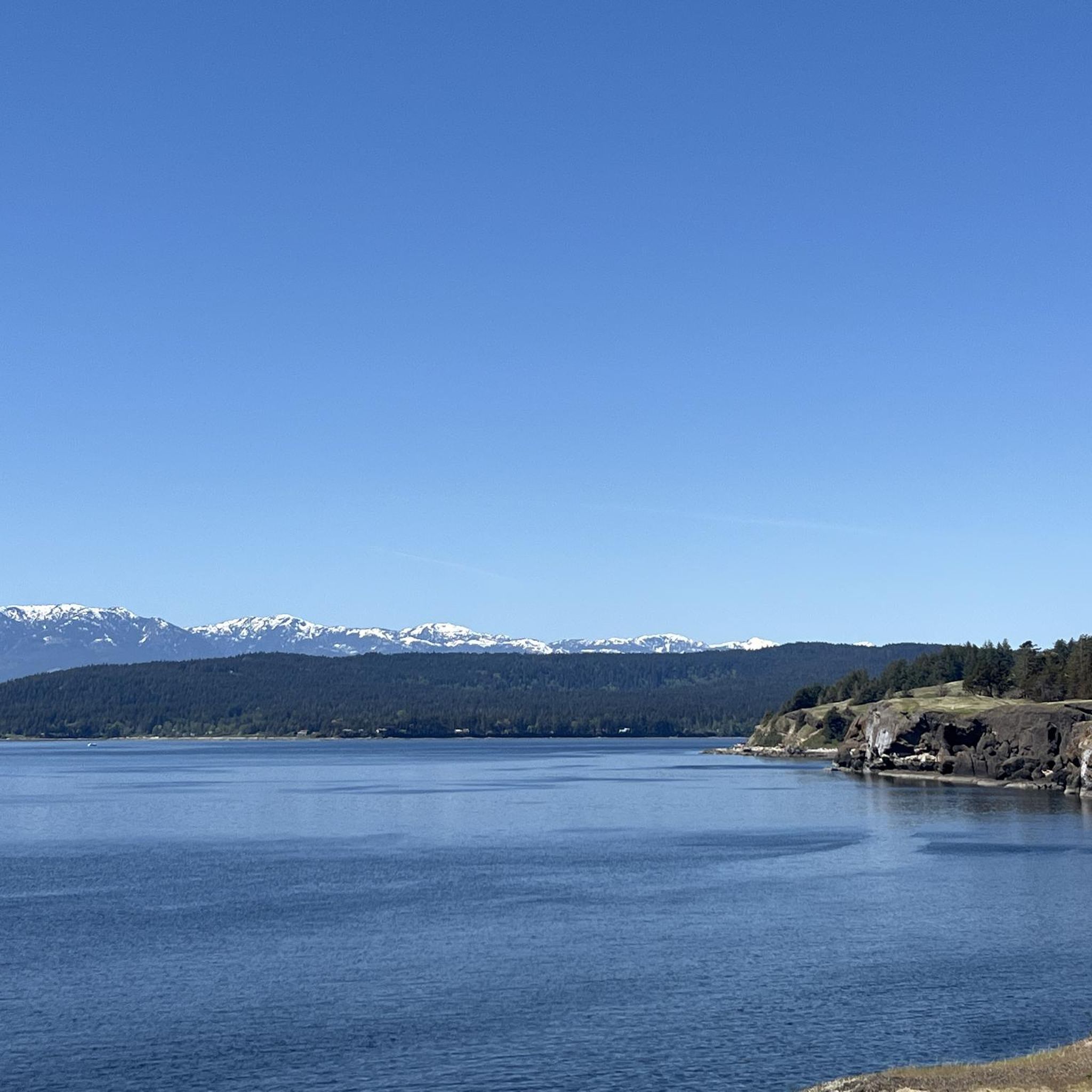
Runners in Baynes Sound can expect a rich variety of scenery, blending coastal and forested environments. You'll find protected bays, varied shorelines with mud flats and rocky sections, and tidal estuaries. Many routes offer stunning views of the Strait of Georgia, Denman Island, and distant mountains, while others wind through shaded paths in adjacent forests.
Are there longer distance running trails for experienced runners in the area?
Absolutely. For experienced runners seeking a challenge, the Cumberland Community Forest loop from Cumberland is a difficult 15.0-mile (24.1 km) trail that offers extensive forest exploration. Another demanding option is the Cumberland Community Forest – China Bowls loop from Cumberland, which is 15.3 miles (24.6 km) long and features significant elevation changes.
Can I find circular running routes in the Baynes Sound area?
Yes, many of the running routes in Baynes Sound are designed as loops, offering convenient circular paths. Examples include the Fuji Jim Mountain loop from Cumberland, a moderate 5.3-mile (8.6 km) path, and the Running loop from South Island Highway at Gartley Road (NB), a moderate 5.9-mile (9.5 km) route.
Are the running trails in Baynes Sound suitable for families?
While specific family-friendly routes are not explicitly detailed, the presence of easy trails like the Running loop from Craigdarroch suggests options for families with younger children or those preferring less strenuous activity. The varied landscapes, including coastal areas and forests, provide engaging environments for family outings.
What interesting natural attractions or landmarks might I see while running?
Baynes Sound offers several natural attractions. You might encounter the beautiful Nymph Falls, the serene China Bowls lake, or enjoy beach runs along Air Force Beach or Shingle Spit. The area is also part of the K'omoks Important Bird Area, so birdwatching is a common activity, especially during spring migration.
What is the best time of year to go running in Baynes Sound?
Baynes Sound offers a compelling setting for outdoor activities year-round. The coastal and forested environments provide varied experiences. Spring and fall are often ideal for comfortable temperatures and vibrant scenery. Winter running is also possible, with the region's mild climate, though some trails might be wetter. The area is particularly known for its significant populations of wintering waterbirds and shorebirds, making cooler months interesting for wildlife observation.
What do other runners say about the trails in Baynes Sound?
The running routes in Area A (Baynes Sound) are highly rated by the komoot community, with an average score of 5.0 stars from 2 reviews. Over 190 runners have used komoot to explore the varied terrain, often praising the diverse landscapes, from coastal views to shaded forest paths, and the options available for different ability levels.
Are there options for parking near the running routes in Baynes Sound?
While specific parking details for each route are best checked on individual tour pages, the communities along Vancouver Island such as Royston, Union Bay, and Cumberland often serve as access points to natural areas and typically provide local parking facilities for trail users.
Are dogs allowed on the running trails in Baynes Sound?
Many outdoor trails in British Columbia are dog-friendly, especially if dogs are kept on a leash. However, it's always recommended to check specific regulations for each trail or park you plan to visit, as rules can vary, particularly in protected areas or those with sensitive wildlife habitats.
Most popular routes around Area A (Baynes Sound)
Most popular attractions around Area A (Baynes Sound)

Get inspired with the komoot mobile app


Explore more
Browse the best Running Trails & Routes in other regions.
