The best gravel rides around Emlingen
4.3
(19)
145
riders
47
rides
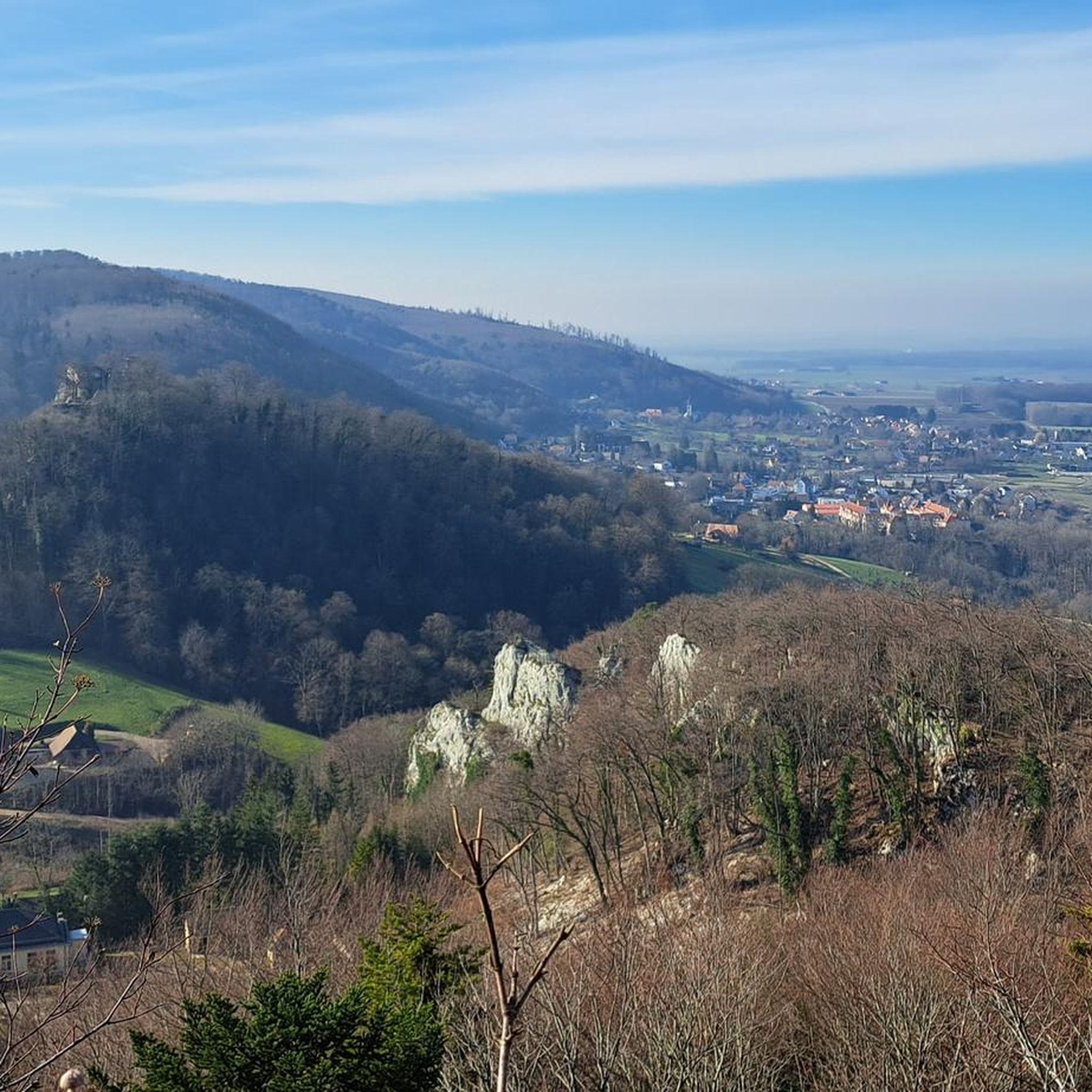
Gravel biking around Emlingen offers a diverse landscape within the Haut-Rhin department of Alsace, France. The region is characterized by its hilly relief, with elevations ranging from 286 to 376 meters, providing a dynamic environment for cyclists. This varied terrain includes a mix of woodlands, open fields, and river valleys, making it well-suited for gravel exploration. Emlingen's location in the Sundgau region ensures access to undulating paths and scenic routes that combine small secondary roads with dedicated bike and gravel paths.
Best gravel bike trails around Emlingen
- The most popular gravel bike trail is Pond country and the Largue valley, a 33.8 miles (54.5 km) trail that takes 4 hours 3 minutes to complete. This difficult route navigates through the distinctive pond country and Largue valley.
- Another top favourite among local gravel bikers is Around the Sundgau capital, a difficult 34.6 miles (55.6 km) path. This route offers extensive views of the Sundgau region's varied landscapes.
- Local gravel bikers also love the Pond country and the Largue valley (short version), a 24.1 miles (38.7 km) trail leading through the picturesque pond country, often completed in about 2 hours 45 minutes.
- Gravel biking around Emlingen is defined by hilly relief, varied landscapes, and a mix of woodlands and open fields. The network offers options for easy, moderate, and difficult routes, catering to different ability levels.
- The routes in Emlingen are highly rated by the komoot community with an average score of 4.1 stars from over 14 reviews. More than 130 gravel bikers have used komoot to explore Emlingen's varied terrain.
Last updated: July 3, 2026
5.0
(1)
30
riders
54.5km
04:04
490m
480m
Hard gravel ride. Very good fitness required. Mostly paved surfaces. Suitable for all skill levels.
4.0
(2)
13
riders
55.6km
04:24
660m
660m
Hard gravel ride. Very good fitness required. Mostly paved surfaces. Suitable for all skill levels.

Sign up for free
5.0
(1)
11
riders
38.3km
02:19
350m
350m
Moderate gravel ride. Good fitness required. Mostly paved surfaces. Suitable for all skill levels.
3
riders
23.2km
02:06
280m
280m
Moderate gravel ride. Good fitness required. Some segments of this route may be unpaved and difficult to ride.
3.5
(2)
5
riders
27.0km
02:12
270m
270m
Moderate gravel ride. Good fitness required. Some segments of this route may be unpaved and difficult to ride.
Get access to more routes and recommendations from other explorers.
Sign up for free
Already have an account?
Our route recommendations are based on thousands of hikes, rides, and runs completed by other people on komoot.
Start today with a free account
Your next adventure awaits.
Login or Signup

Tips from the Community

Beautiful half-timbered houses. Few public benches. Those in front of the church and in the adjacent playground are not sheltered from the wind. If you have a picnic area to recommend, go for it, thank you.
0
0

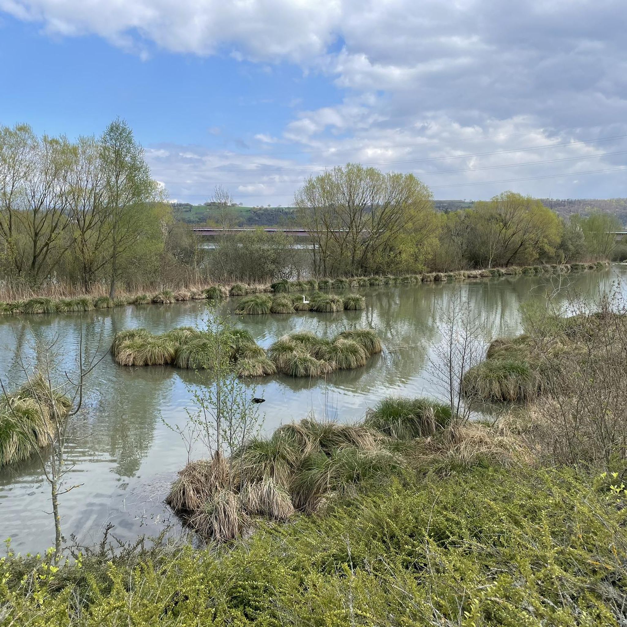
This region has hundreds of small fishponds, once created by monks in the Middle Ages. Today they form a patchwork of water, reeds and forest – a paradise for birds, cyclists and those seeking peace and quiet. You cycle along quiet banks, see herons take flight and enjoy local specialities such as fried carp along the way.
6
0
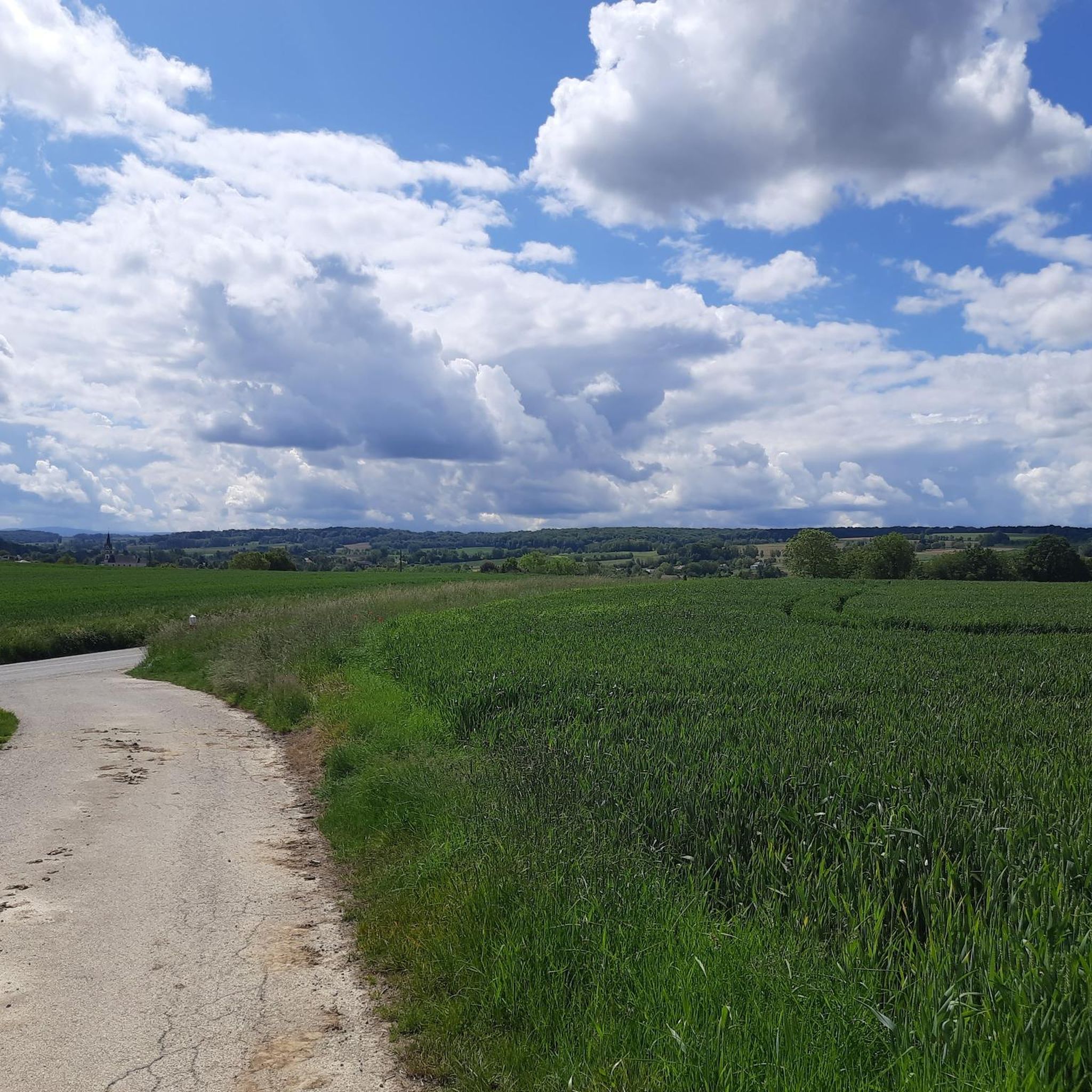
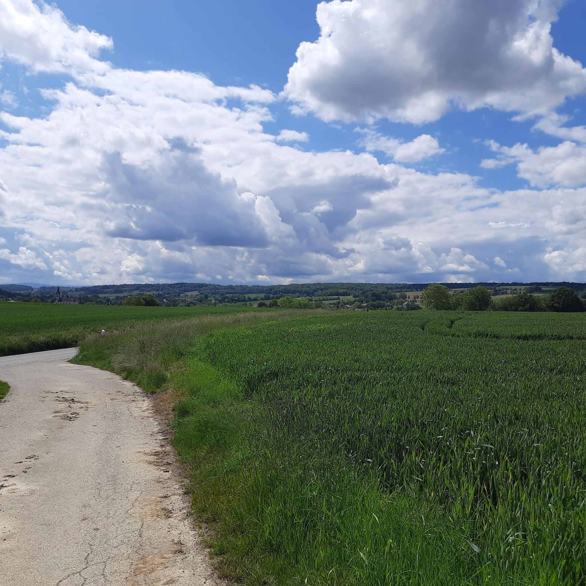
Beautiful route, away from the roads so very pleasant
0
0

A few more photos and texts can be found in the corresponding hiking highlight in the komoot system, under the title "Chapelle Notre-Dame-des-Neiges" it can be reached with the following link =>>https://www.komoot.com/de-de/highlight/3297592
0
0
Many churches in France, including this chapel, are dedicated to the Virgin Mary under the widely used title "Notre-Dame" (in German: "Our Dear Lady"). A brief thought on the Mother of God from Albino Luciani (Pope John Paul I): "Mary is indeed our sister, as Saint Ambrose says. She led a life very similar to ours. It is of course beautiful to venerate Mary as the Virgin and Mother of God, as the one conceived immaculately by original sin and taken up into heaven; but she is also the Madonna of plates, brooms and cooking pots..." The visitor to the small Marian shrine can decide for himself which "Notre-Dame" he would like to venerate here.
0
0

Classified as historical monuments, the Reinach castle dates from the 19th century. From an architectural and landscape point of view, this enclosure is remarkable. Today, this establishment provides school-type, post-Bac and continuing education.
1
0
This unpaved track passes through ponds and forests. It connects Hirtzbach to Fulleren. The opportunity to discover the artificial bodies of water, typical of the region.
0
0
Hirsingue is a dynamic Alsatian village. Culture, monuments, shops, walks, services... It is undoubtedly an excellent site for finding accommodation and discovering Sundgau.
0
0
Frequently Asked Questions
How many gravel bike trails are available around Emlingen?
There are over 50 gravel bike routes around Emlingen, catering to various skill levels. You'll find a good mix, with 22 moderate and 28 difficult routes, plus one easy option for a more relaxed ride.
What kind of terrain can I expect on gravel bike trails near Emlingen?
The terrain around Emlingen is characterized by its hilly relief, with elevations ranging from 286 to 376 meters. You can expect a dynamic environment featuring a mix of woodlands, open fields, and river valleys. Routes often combine small secondary roads with dedicated bike and gravel paths, offering a varied riding experience.
Are there any easy or beginner-friendly gravel bike trails in Emlingen?
Yes, while many routes are moderate to difficult, there is at least one easy gravel bike trail available. For a moderate option that's still manageable, consider Pond country and the Largue valley (short version), which is 38.7 km long and takes about 2 hours 45 minutes.
What are some notable landmarks or points of interest I might see along the gravel bike trails?
While gravel biking, you might encounter various historical and natural points of interest. Near Zillisheim, you can find the Zillisheim Drawbridge and Lock No. 35 and the Grand Cannon of Zillisheim. Other locks like Eglingen Lock and Brunstatt lock are also in the vicinity. You could also pass by the historic Chapelle Saint-Martin.
What do other gravel bikers enjoy the most about gravel biking in Emlingen?
The gravel biking routes around Emlingen are highly rated by the komoot community, with an average score of 4.1 stars from over 14 reviews. Riders often praise the varied landscapes, the mix of woodlands and open fields, and the well-suited terrain for gravel exploration in the Sundgau region.
Are there any circular gravel bike routes around Emlingen?
Yes, many of the gravel routes in the Emlingen area are designed as loops. For example, La boucle du Feldbach is a moderate 27 km circular route, perfect for exploring the local scenery.
What is the best time of year for gravel biking in Emlingen?
The Sundgau region, where Emlingen is located, offers pleasant conditions for gravel biking throughout much of the year. Spring and autumn generally provide mild temperatures and beautiful scenery, while summer can also be enjoyable, especially in the mornings or late afternoons. Winter rides are possible, but conditions may vary, so checking local weather is always recommended.
Are there any longer, more challenging gravel routes for experienced riders?
Absolutely. For experienced riders seeking a challenge, routes like Pond country and the Largue valley, a difficult 54.5 km trail, or Around the Sundgau capital, a difficult 55.6 km path, offer extensive views and dynamic terrain. These routes typically take over 4 hours to complete.
Can I find routes that explore the 'pond country' mentioned in the guide?
Yes, the distinctive 'pond country' is a prominent feature in several routes. The Pond country and the Largue valley route, as well as its shorter version, specifically navigate through this picturesque area. Another route, Aux pays des étangs, also translates to 'To the land of ponds' and offers a moderate 23.2 km ride through this landscape.
Is Emlingen well-connected for cyclists using public transport?
Emlingen is a small commune, but its proximity to larger towns like Altkirch (4 km) and Mulhouse (15 km) means you can access urban amenities and potentially public transport links from those locations. It's advisable to check regional public transport schedules for connections to Emlingen or nearby starting points for your rides.
Are there hiking trails near Emlingen that could be combined with a cycling trip?
Yes, the region offers marked hiking trails. An easy 6.5 km trail connecting Wittersdorf and Emlingen, with a 200m elevation gain, takes about 2 hours 30 minutes. This route reveals an old vineyard, a quarry, a botanical path, and historical lime kilns in Emlingen, offering a different way to explore the local area. More details can be found on visit.alsace.
Most popular attractions around Emlingen

Get inspired with the komoot mobile app


Explore more
Browse the best Gravel rides in other regions.
