The best road cycling routes around Emlingen
4.6
(175)
3,935
riders
247
rides
Road cycling routes around Emlingen feature a diverse landscape, primarily characterized by extensive canal networks and river valleys, such as the Rhône–Rhine Canal and the Ill River. The terrain varies from flat, riverside paths to routes with significant elevation gains, including areas with viaducts and locks. This region offers a mix of easy, moderate, and challenging road cycling experiences.
Best road cycling routes around Emlingen
- The most popular road cycling route is Riverside open-air tavern – Pace along the canal…
Last updated: October 20, 2026
5.0
(3)
54
riders
107km
04:30
520m
520m
Moderate road ride. Good fitness required. Some segments of this route may be unpaved and difficult to ride.
20
riders
79.6km
03:25
550m
550m
Moderate road ride. Good fitness required. Mostly well-paved surfaces and easy to ride.

5.0
(1)
17
riders
89.5km
03:37
410m
410m
Moderate road ride. Good fitness required. Mostly well-paved surfaces and easy to ride.
10
riders
82.0km
03:32
480m
480m
Moderate road ride. Good fitness required. Mostly well-paved surfaces and easy to ride.
5.0
(1)
6
riders
46.0km
02:05
310m
310m
Moderate road ride. Good fitness required. Mostly well-paved surfaces and easy to ride.
Get access to more routes and recommendations from other explorers.
Already have an account?
Our route recommendations are based on thousands of hikes, rides, and runs completed by other people on komoot.
Start today with a free account
Your next adventure awaits.

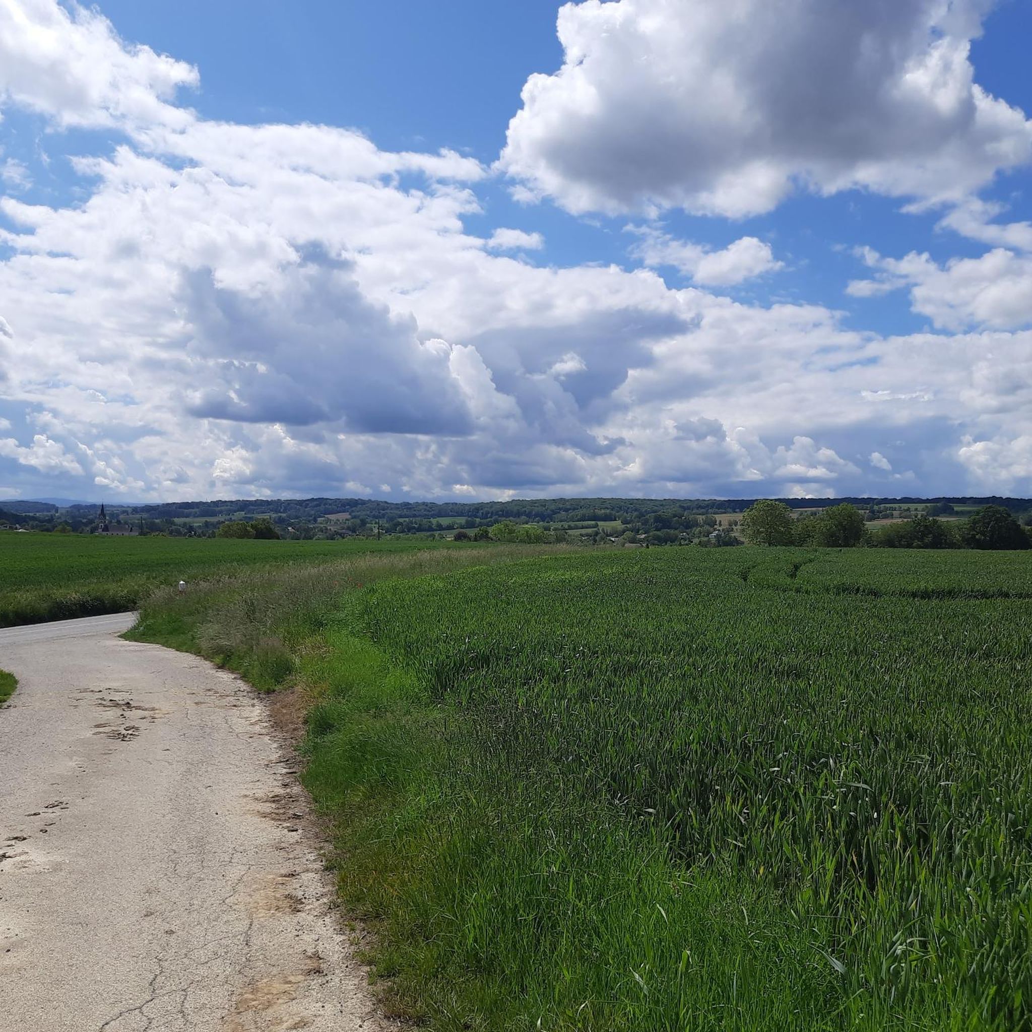
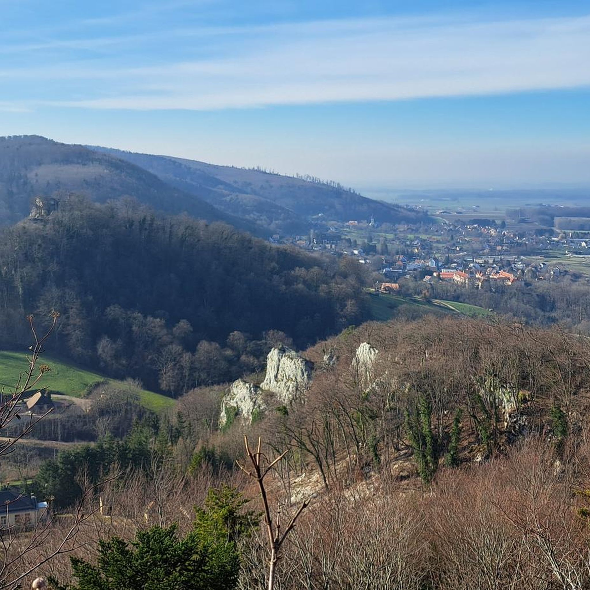
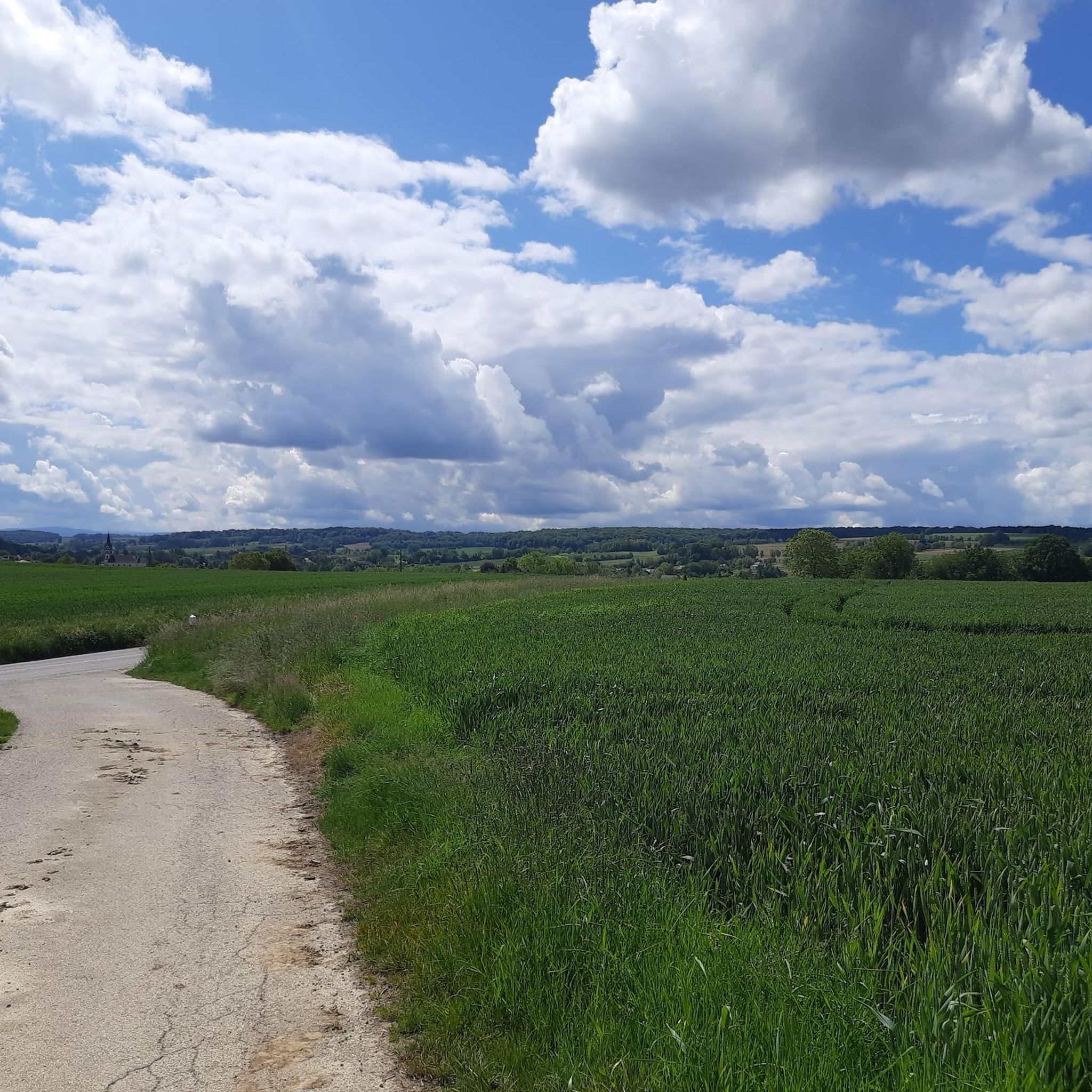
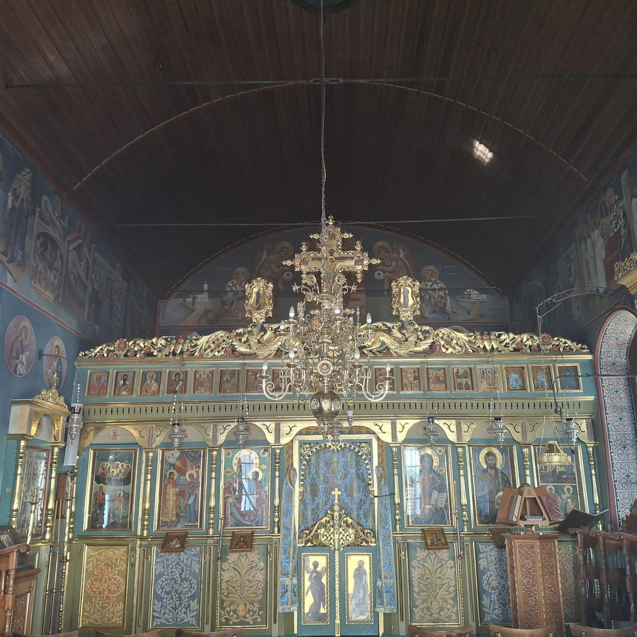
Tips from the Community

Altkirch Altkirch is the historic capital of the Sundgau and lies on a striking rocky spur above the valley of the Ill. The town's origins date back to the Middle Ages. The Counts of Ferrette built Altkirch into a fortified town; from 1215 onwards, it was protected by town walls and towers. The characteristic layout, narrow streets, and remnants of the fortifications have been preserved from this medieval town plan to this day. Particularly worth seeing is the Vieille Porte, a former town gate from around 1245. For centuries, Altkirch was an important administrative and commercial center of the Sundgau. After the destructions of the Thirty Years' War, numerous buildings were newly erected. The representative town hall dates from the 18th century, built in 1778 according to plans by the Swabian architect Jean Nissler. In the 19th century, the town continued to develop: alongside its traditional importance as a market and trading place, industrial enterprises emerged, including the well-known Gilardoni brickworks. The 20th century also left its mark. After the First World War, Altkirch became part of the re-Frenchified Alsace. The memory of this period is evident, among other things, at the Vieille Porte, where a Borne Vauthier commemorates the former front line of 1918. The original Altkirch war memorial from 1927 was destroyed during the German occupation in the Second World War; preserved parts were later integrated into a new memorial. Today, Altkirch, with around 6,000 inhabitants, is an important center of the Sundgau. The historic upper town with its old houses, remnants of fortifications, the town hall, and the Sundgau Museum continues to shape the townscape. Source: Ville d’Altkirch – History of the town
0
0

The Rhine with its beautiful bridges is always beautiful.
0
0

Virtually no incline, good asphalt – everything invites you to pedal briskly through beautiful nature.
0
0
Without any car traffic, the cycle path leads over gentle hills from Carspach to Ballersdorf, passing some exciting places such as the model airfield and the fish pond.
0
0
The former Altkirch-Waldighofen railway line has been converted into a cycle path in some sections, leading through fields and forests without disturbing car traffic. Highly recommended!
0
0

Every lock along the route provides for an unusual background and a good memory of your bike trip. A lot of these locks have a bridge going over them, take the time to branch off the bridge and discover some of the nice villages along the canal.
0
0
The French and European National Cycleway is a great cycleway winding along side of the Rhine Rhone Canal with very little climbing, for those who do not like to climb. However those who are climbing shy, must be aware of the wind in this area. A lot of the locks still have the former lock man’s house which adds a bit of charm to every lock. One is never alone on this route as there is a constant passing of bicycles, both leisure and racing bikes.
0
0
The Rhine Rhone Cycleway is part of the National French and European Cycleway. This stretch of the cycleway has excellent smooth asphalted pavement. There are some nice restaurants and cafés along the way which are sometimes hidden but can easily be found on the map.
1
0
Frequently Asked Questions
What is the general difficulty level of road cycling routes around Emlingen?
Road cycling around Emlingen offers a diverse range of difficulties. You'll find a good mix, with approximately 55 easy routes, 152 moderate routes, and 39 challenging routes. The terrain varies from flat canal-side paths to routes with significant elevation gains, including areas with viaducts and locks.
How long do road cycling routes around Emlingen typically take?
The duration of road cycling routes in Emlingen varies widely depending on the route's length and your pace. For instance, an easy route like Riverside open-air tavern – Pace along the canal loop from Walheim, which is 30.4 km, typically takes around 1 hour 13 minutes. Longer, more challenging routes can take several hours, such as the 78.2 km View of the viaduct – Eglingen Lock loop from Walheim, which often takes about 3 hours 22 minutes.
Are there any circular road cycling routes in Emlingen?
Yes, many of the road cycling routes around Emlingen are designed as loops, allowing you to start and finish in the same location. Examples include the popular Rhône–Rhine Canal – Niffer Lock loop from Walheim and the challenging Eglingen Lock – Bridge over the Ill in Fislis loop from Walheim.
What kind of scenery can I expect on road cycling routes in Emlingen?
Emlingen's road cycling routes are characterized by extensive canal networks, such as the Rhône–Rhine Canal, and picturesque river valleys like the Ill River. You'll encounter flat, scenic paths alongside waterways, as well as routes that feature historical locks, viaducts, and varied rural landscapes.
Are there any family-friendly road cycling options in Emlingen?
Yes, Emlingen offers several easy, flat routes that are suitable for families. The canal-side paths, in particular, provide a safe and enjoyable environment for cyclists of all ages. The Riverside open-air tavern – Pace along the canal loop from Walheim is an excellent example of an easy, flat route perfect for a relaxed family ride.
What are some interesting landmarks or sights to see along the road cycling routes?
As you cycle around Emlingen, you can explore several notable landmarks. The region features historical structures like the Zillisheim Drawbridge and Lock No. 35, the Eglingen Lock, and the Grand Cannon of Zillisheim. You might also pass by charming religious buildings such as the Chapelle Saint-Martin.
What do other road cyclists enjoy most about road cycling in Emlingen?
The road cycling experience in Emlingen is highly rated by the komoot community, with an average score of 4.5 stars from over 120 reviews. Cyclists often praise the diverse terrain, from tranquil canal paths to routes with engaging climbs and historical features like locks and viaducts.
Are there challenging road cycling routes for experienced riders in Emlingen?
Absolutely. For experienced riders seeking a challenge, Emlingen offers routes with significant elevation gains and longer distances. The Eglingen Lock – Bridge over the Ill in Fislis loop from Walheim, for example, covers over 119 km with more than 900 meters of ascent, providing a demanding ride.
When is the best season for road biking around Emlingen?
The region's diverse landscape, with its canals and river valleys, makes it enjoyable for road cycling across multiple seasons. Spring and autumn generally offer pleasant temperatures and beautiful scenery. While specific winter safety details aren't provided, it's always advisable to check local weather conditions and road surfaces during colder months.
Are there road cycling routes that offer scenic viewpoints?
Many routes in Emlingen provide scenic views, particularly those that follow the canal networks or ascend to higher ground. The View of the viaduct – Eglingen Lock loop from Walheim is specifically highlighted for its views, including a prominent viaduct, offering picturesque vistas of the surrounding landscape.
How many road cycling routes are available in Emlingen?
There are over 240 road cycling routes available around Emlingen, offering a wide variety of options for different skill levels and preferences. This extensive network ensures there's always a new path to explore.
Most popular attractions around Emlingen

Get inspired with the komoot mobile app


Explore more
Browse the best Road cycling routes in other regions.
