The best gravel rides around Méolans-Revel
4.2
(33)
294
riders
13
rides
Gravel biking around Méolans-Revel provides access to the diverse landscapes of the Ubaye Valley in the Alpes-de-Haute-Provence region. This area features high mountains, serene high-altitude lakes, and dense pine and oak forests, alongside unique geological formations like Les Terres Noires. Riders can expect varied terrain, from smooth trails to rocky paths, often following the banks of the Ubaye river. The region's extensive network of trails offers numerous opportunities for gravel cyclists.
Best gravel bike trails around Méolans-Revel
- The most popular…
Last updated: July 16, 2026
4.0
(3)
7
riders
36.8km
03:23
980m
980m
Hard gravel ride. Very good fitness required. Mostly paved surfaces. Suitable for all skill levels.
5.0
(1)
12
riders
66.4km
04:23
1,050m
1,050m
Hard gravel ride. Very good fitness required. Mostly paved surfaces. Suitable for all skill levels.

Sign up for free
3.0
(1)
12
riders
109km
08:34
3,280m
3,280m
Hard gravel ride. Very good fitness required. Mostly paved surfaces. Suitable for all skill levels.
7
riders
70.3km
05:53
1,910m
1,910m
Hard gravel ride. Very good fitness required. Mostly paved surfaces. Suitable for all skill levels.
5.0
(1)
5
riders
Hard gravel ride. Very good fitness required. Mostly paved surfaces. Suitable for all skill levels.
Get access to more routes and recommendations from other explorers.
Sign up for free
Already have an account?
Our route recommendations are based on thousands of hikes, rides, and runs completed by other people on komoot.
Start today with a free account
Your next adventure awaits.
Login or Signup
Popular around Méolans-Revel
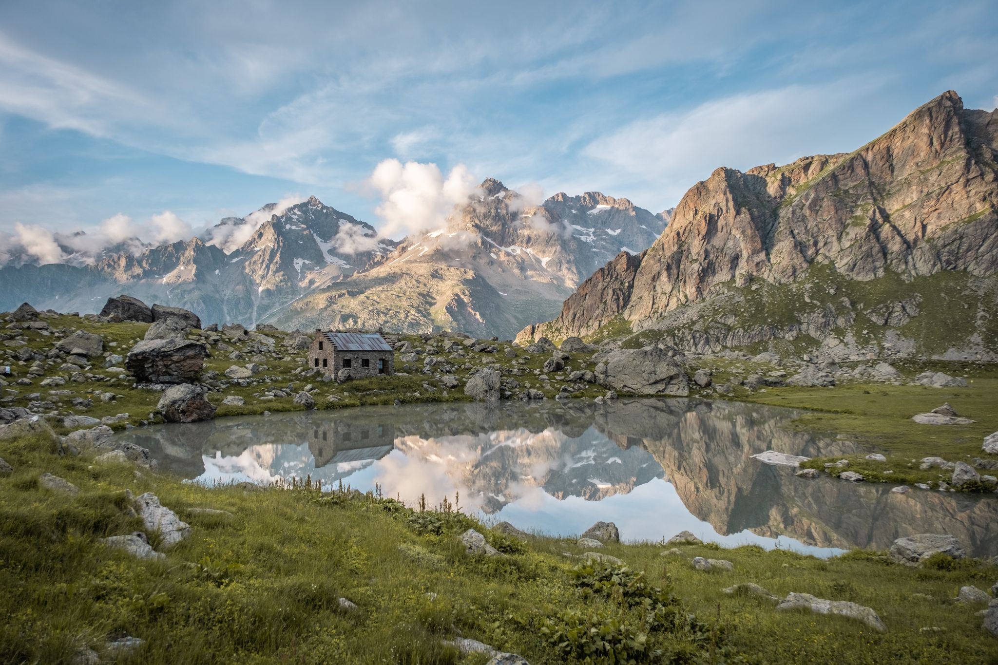
Seven hikes in France’s Southern Alps – refuges and high peaks

Mountains and marmots — France’s Ubaye trail (GR 56)
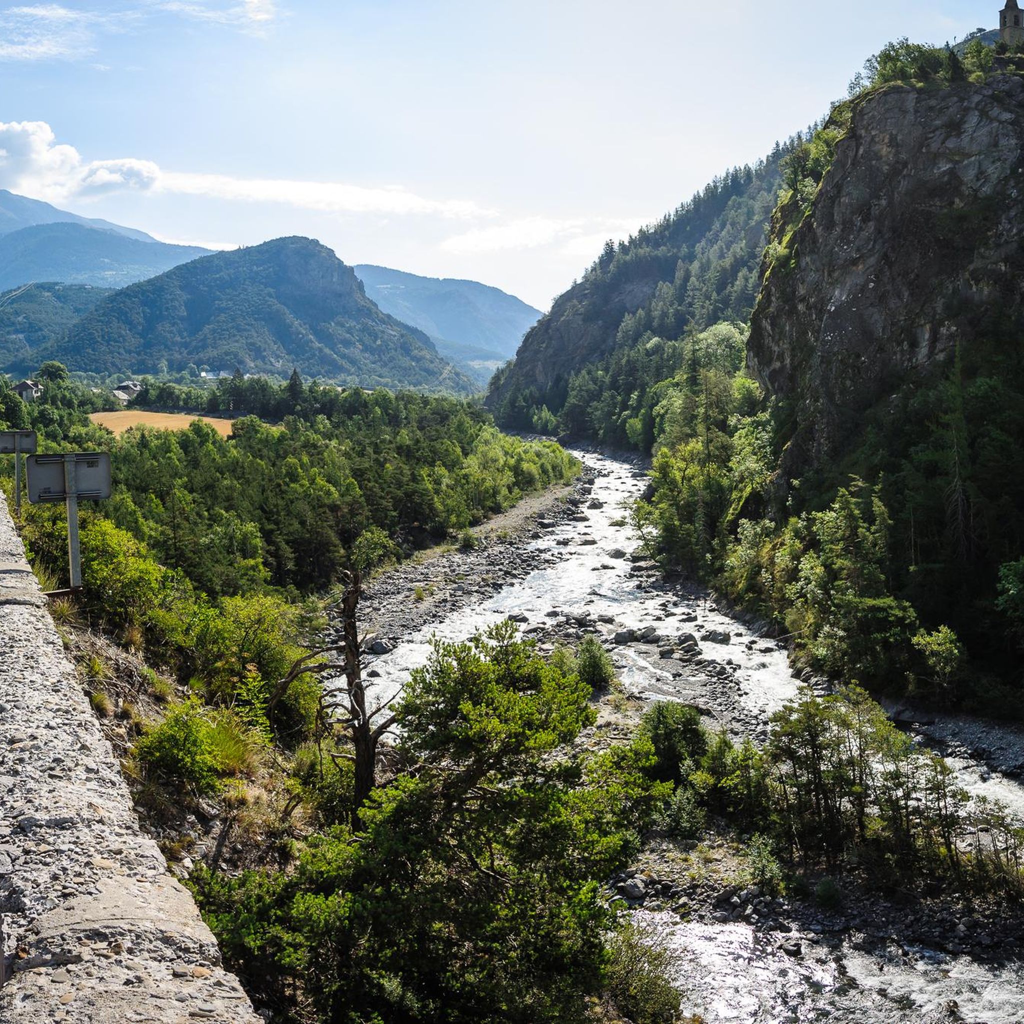
Hiking around Méolans-Revel
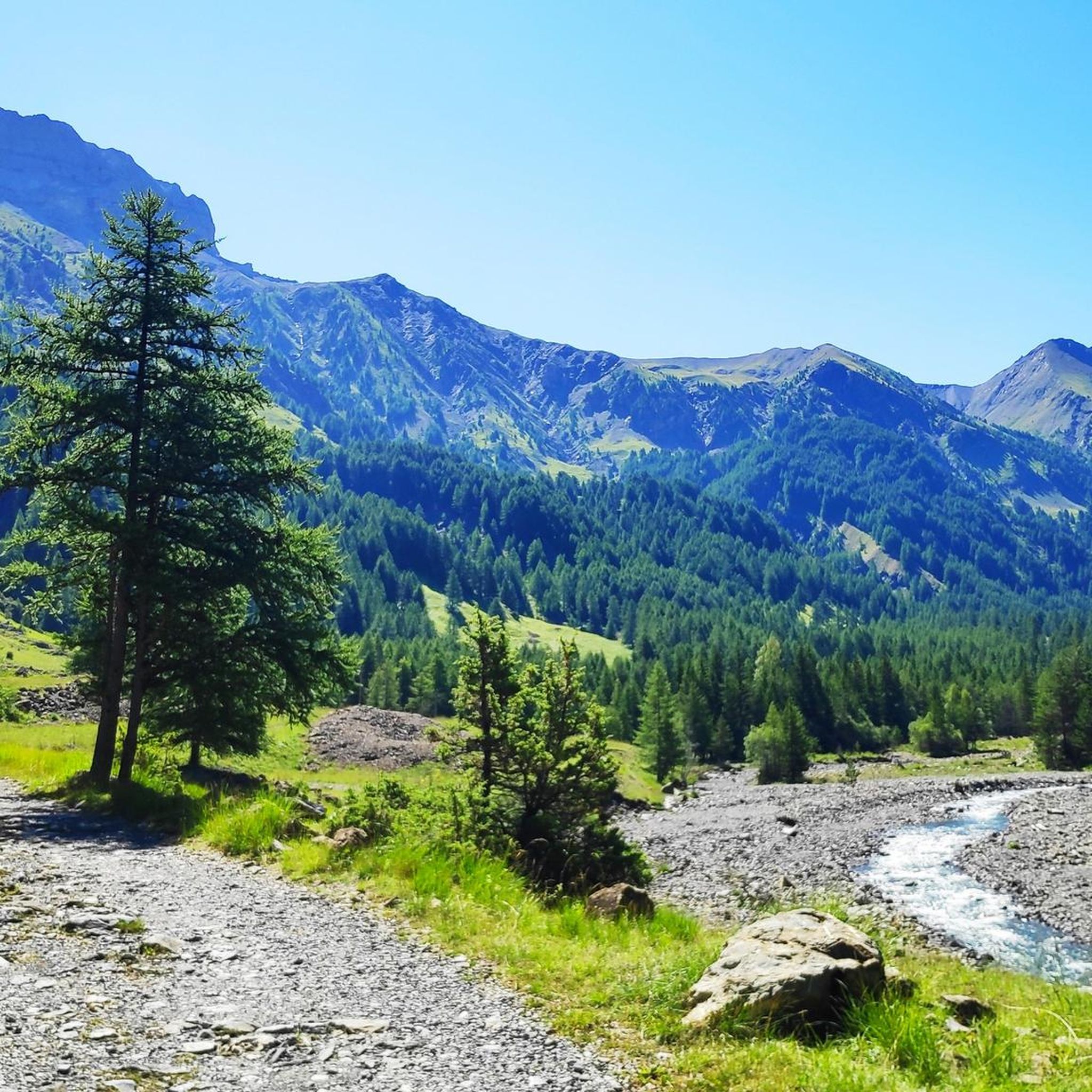
Road Cycling Routes around Méolans-Revel
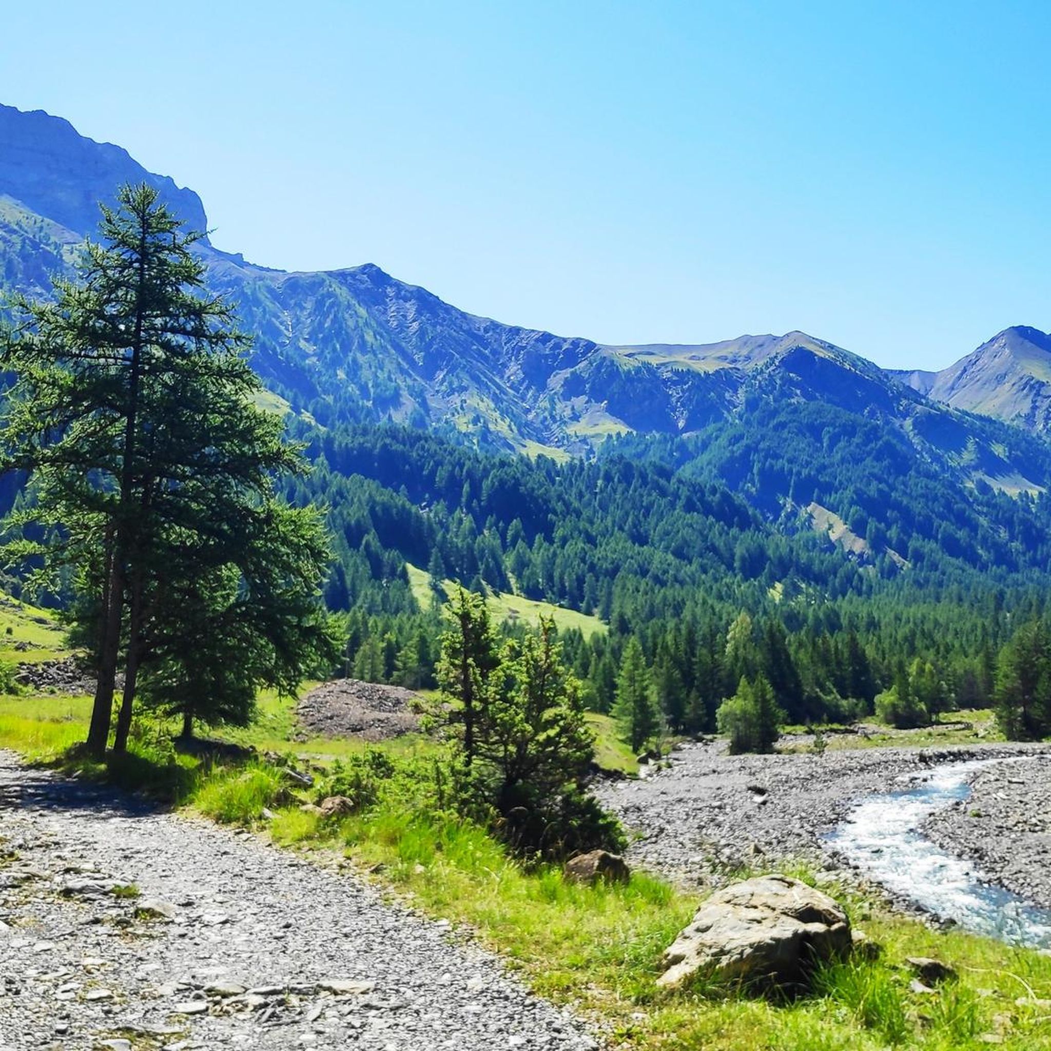
Running Trails around Méolans-Revel
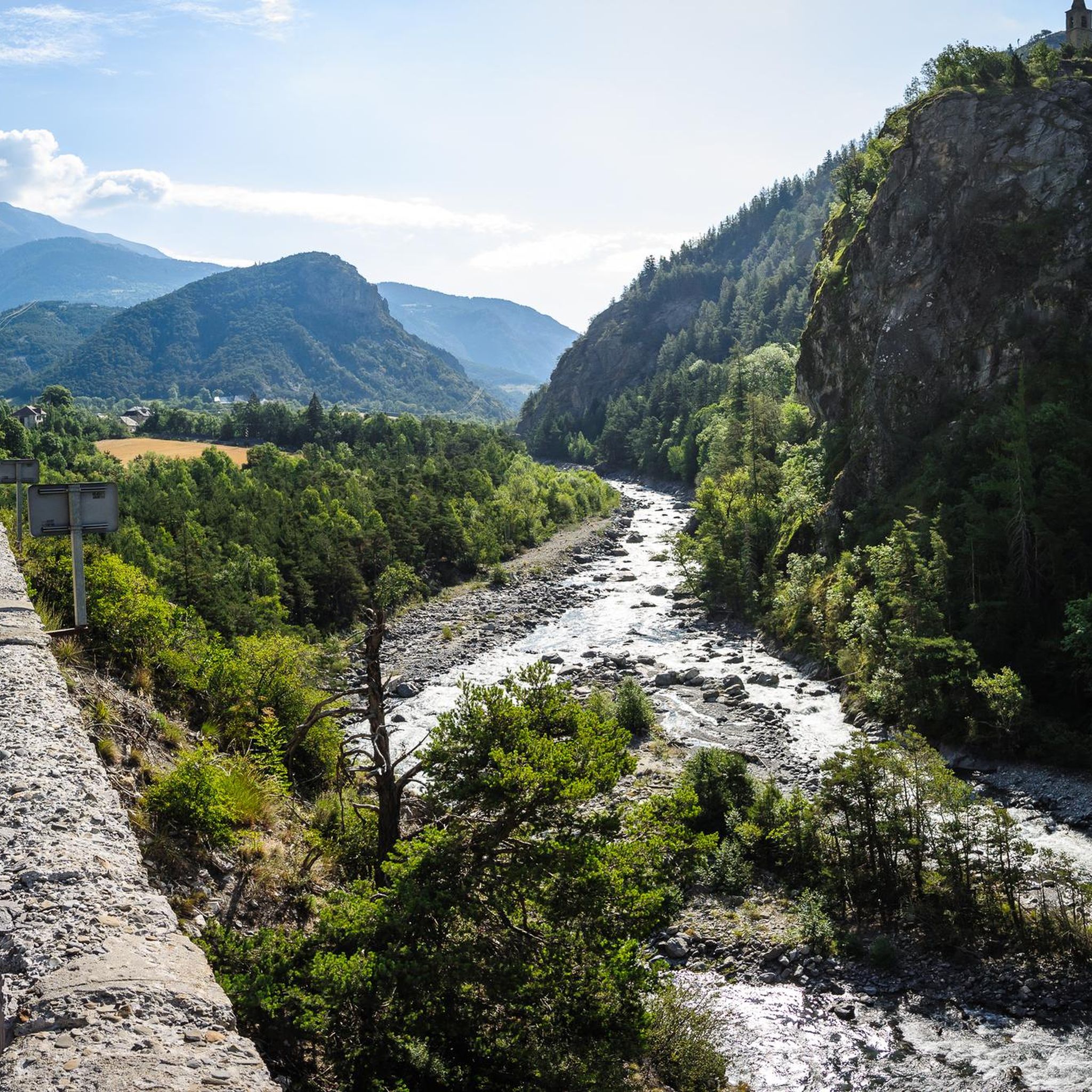
Cycling around Méolans-Revel
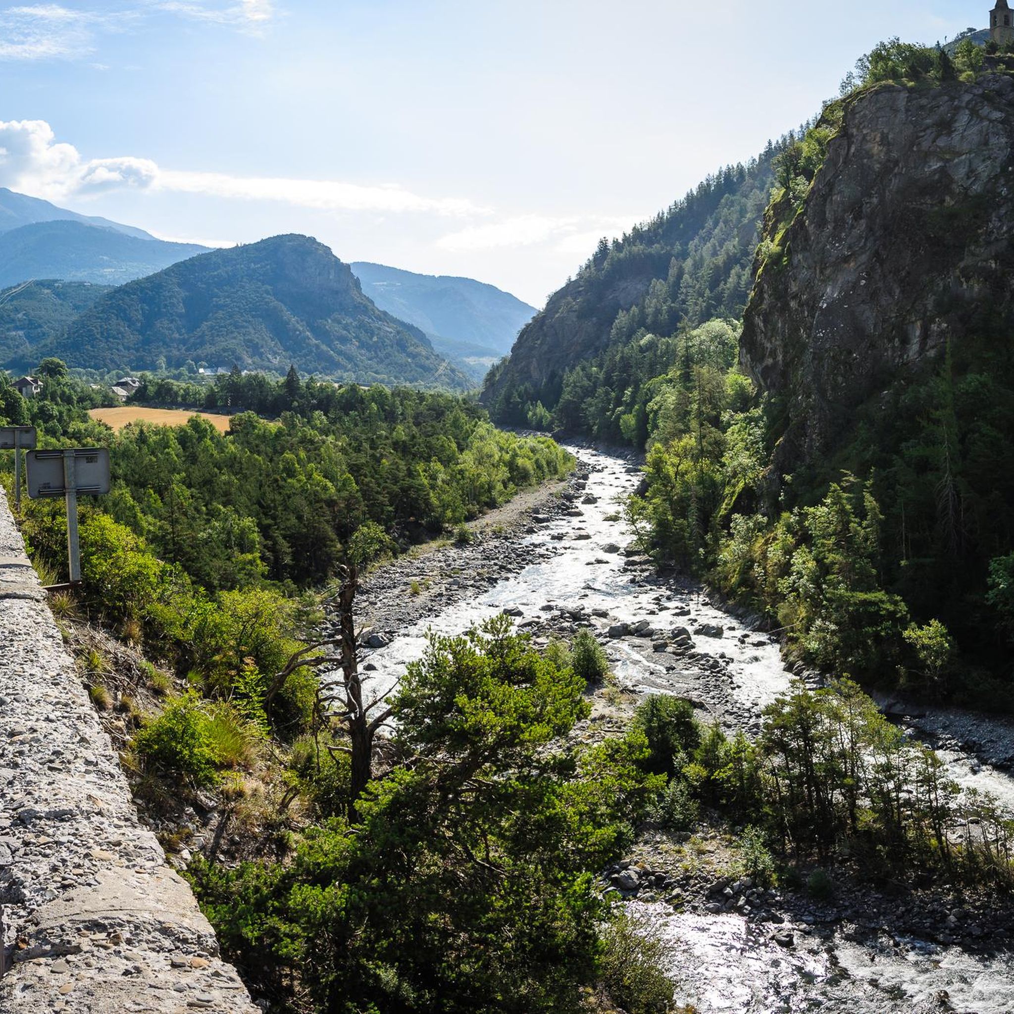
MTB Trails around Méolans-Revel
Mountain Hikes around Méolans-Revel


Tips from the Community

A TRUE GATEWAY TO WILD YET TAMED NATURE AND MAJESTIC MOUNTAIN PASSES
0
0

One of the most beautiful ways to reach the Bonette Pass from Saint Delmas le Selvage via the Col de la Moutière. Wild and isolated, the surroundings are breathtaking. However, be prepared for a long and difficult climb.
0
0

Nice town, enough joreca and nice market twice a week.
0
0

There are four tunnels, the smaller ones a few hundred meters long, the longest about 2.8 km! It was pitch black (yes, I had my bike lights on), wet, and dripping from the ceiling. I found it totally creepy and wouldn't go through it alone again.
0
0

Another way to climb to the Col de la Bonette... with added peace and quiet!
1
0

Here the asphalt road ends and you can no longer continue on the BDC.
18
0

roadside waterfalls visible on two hairpin bends
0
0

Drinking water (tested and approved)!!
0
0
Frequently Asked Questions
How many gravel bike trails are there around Méolans-Revel?
There are over 15 gravel bike routes available around Méolans-Revel on komoot. The region offers a diverse network of trails, with 3 routes rated as moderate and 15 as difficult, catering to various skill levels, though many feature challenging climbs.
What kind of terrain can I expect on gravel bike trails in Méolans-Revel?
Gravel biking around Méolans-Revel offers a wide variety of terrain. You'll encounter high mountains, serene high-altitude lakes, dense pine and oak forests, and unique geological formations like Les Terres Noires. Routes often follow the banks of the wild Ubaye river and traverse the Blanche valley, featuring everything from smoother trails to rocky paths.
Are there any easy gravel bike routes suitable for beginners in Méolans-Revel?
While many routes around Méolans-Revel feature challenging climbs and are rated as difficult, there are a few moderate options available. The region is known for its rugged beauty and significant elevation gains, so even moderate routes may require a good level of fitness. We recommend checking the route profiles on komoot for detailed difficulty information.
What are some notable natural attractions or landmarks I can see while gravel biking in the area?
The trails around Méolans-Revel offer access to stunning natural beauty. You can explore highlights such as Lake Sainte-Marguerite, the impressive Morgon peak, and the historic Parpaillon Tunnel. Many routes also provide views of the Ubaye river and various mountain passes like Col du Fanget (1,459 m).
What do other gravel bikers enjoy most about the trails in Méolans-Revel?
The gravel biking experience around Méolans-Revel is highly rated by the komoot community, with an average score of 4.4 stars from over 30 reviews. Riders often praise the diverse landscapes, from high mountains to river valleys, and the challenging nature of the routes. The extensive network of trails and the preserved natural environment are frequently highlighted.
Are there any circular gravel bike routes around Méolans-Revel?
Yes, many of the gravel bike routes in the Méolans-Revel area are designed as loops. For example, you could try the Seyne-les-Alpes – Col Saint Jean (1332 m) loop from Col Saint-Jean, which takes you through forested areas with views of the surrounding hills. Another option is the View of Lac de Serre-Ponçon – Col Saint Jean (1332 m) loop from Montclar, offering scenic vistas.
What is the best time of year for gravel biking in Méolans-Revel?
The Ubaye Valley, where Méolans-Revel is located, is best for gravel biking during the warmer months, typically from late spring through early autumn. This avoids snow at higher elevations and provides more stable weather conditions. Always check local weather forecasts and trail conditions before heading out, especially in mountainous terrain.
Are there any routes that offer views of Lake Serre-Ponçon?
Yes, some routes provide views of the stunning Lake Serre-Ponçon. For instance, the View of Lac de Serre-Ponçon – Col Saint Jean (1332 m) loop from Montclar is a great option for enjoying the lake's scenery while cycling through the region's diverse landscapes.
Can I find routes that follow the Ubaye river?
Absolutely. Many gravel biking routes in the area are designed to follow the banks of the wild Ubaye river, offering spectacular views and a unique riding experience. The Bridge Over the Ubaye – Barcelonnette loop from Saint-Vincent-les-Forts is one such route that provides extensive views of the river and traverses varied valley landscapes.
What is the typical elevation gain on gravel bike routes near Méolans-Revel?
Gravel bike routes near Méolans-Revel often feature significant elevation gains due to the mountainous terrain of the Ubaye Valley. For example, the Seyne-les-Alpes – Col du Fanget (1,459 m) loop from Montclar involves nearly 1,000 meters of ascent, while the Bridge Over the Ubaye – Barcelonnette loop from Saint-Vincent-les-Forts has over 1,000 meters of elevation gain. Be prepared for challenging climbs.
Are there any routes that pass through mountain passes?
Yes, the region is known for its mountain passes. The Seyne-les-Alpes – Col du Fanget (1,459 m) loop from Montclar takes you over Col du Fanget. Another option is the Col Saint Jean (1332 m) – Col Saint Jean (1332 m) loop from Montclar, which explores the area around Col Saint Jean.
Are there any huts or refuges along the gravel bike trails for breaks or overnight stays?
Yes, the region offers several huts and refuges that can be found along or near various trails. Notable options include the Refuge du col d’Allos, Refuge de la Pare, and Refuge de l'Estrop. These can be excellent spots for a break or to extend your adventure with an overnight stay.
Most popular routes around Méolans-Revel
Most popular attractions around Méolans-Revel

Get inspired with the komoot mobile app


Explore more
Browse the best Gravel rides in other regions.
