The best gravel rides around Bagnot
3.0
(2)
5
riders
5
rides
Gravel biking around Bagnot features a landscape characterized by low elevation changes and proximity to waterways like the Saône River and various canals. The terrain primarily consists of flat to gently rolling paths, often following riverbanks or agricultural routes. This region offers gravel bike trails that are generally accessible, with the highest elevation gain on any single route being under 200 meters.
Best gravel bike trails around Bagnot
- The most popular gravel bike trail is Argilly loop from Auvillars-sur-Saône,…
Last updated: July 3, 2026
1
riders
37.1km
02:20
170m
170m
Hard gravel ride. Good fitness required. You may need to push your bike for some segments of this route.
1.0
(1)
1
riders
29.0km
01:40
80m
80m
Easy gravel ride. Great for any fitness level. Mostly paved surfaces. Suitable for all skill levels.

Sign up for free
5.0
(1)
1
riders
Easy gravel ride. Great for any fitness level. Mostly paved surfaces. Suitable for all skill levels.
1
riders
49.0km
03:08
320m
320m
Moderate gravel ride. Good fitness required. Mostly paved surfaces. Suitable for all skill levels.
1
riders
57.5km
03:28
270m
270m
Moderate gravel ride. Good fitness required. Mostly paved surfaces. Suitable for all skill levels.
Our route recommendations are based on thousands of hikes, rides, and runs completed by other people on komoot.
Start today with a free account
Your next adventure awaits.
Login or Signup


Tips from the Community

Side door open from 9:30 to 17:00. Simply turn and push
0
0

Interesting harbor, as there are many houseboats here.
0
0


Very pretty 13th century church renovated in 2007.
0
0

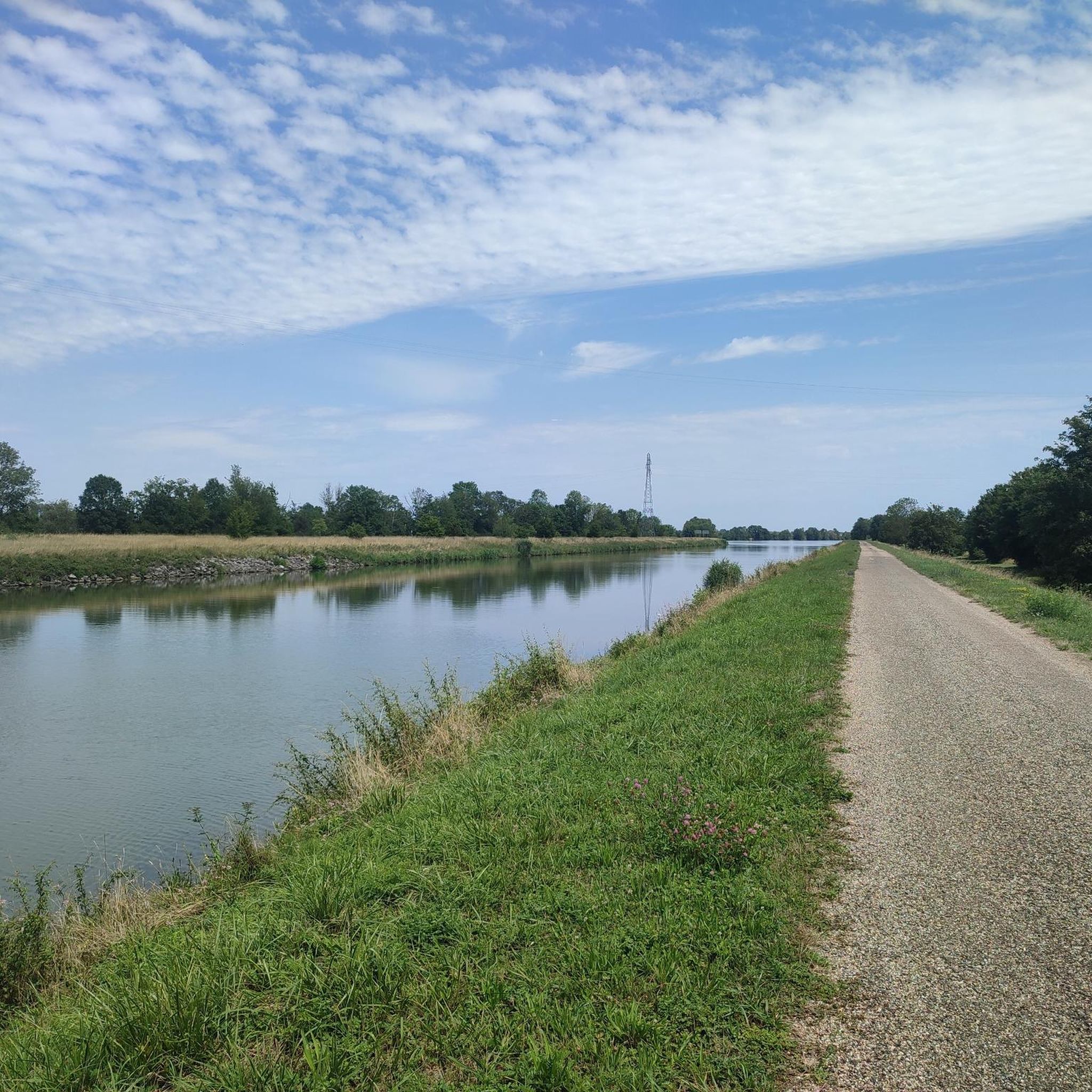
For a hiker, all locks look the same, automated or not.
1
0

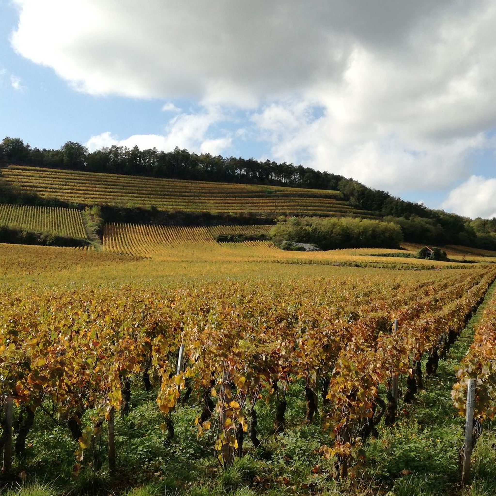
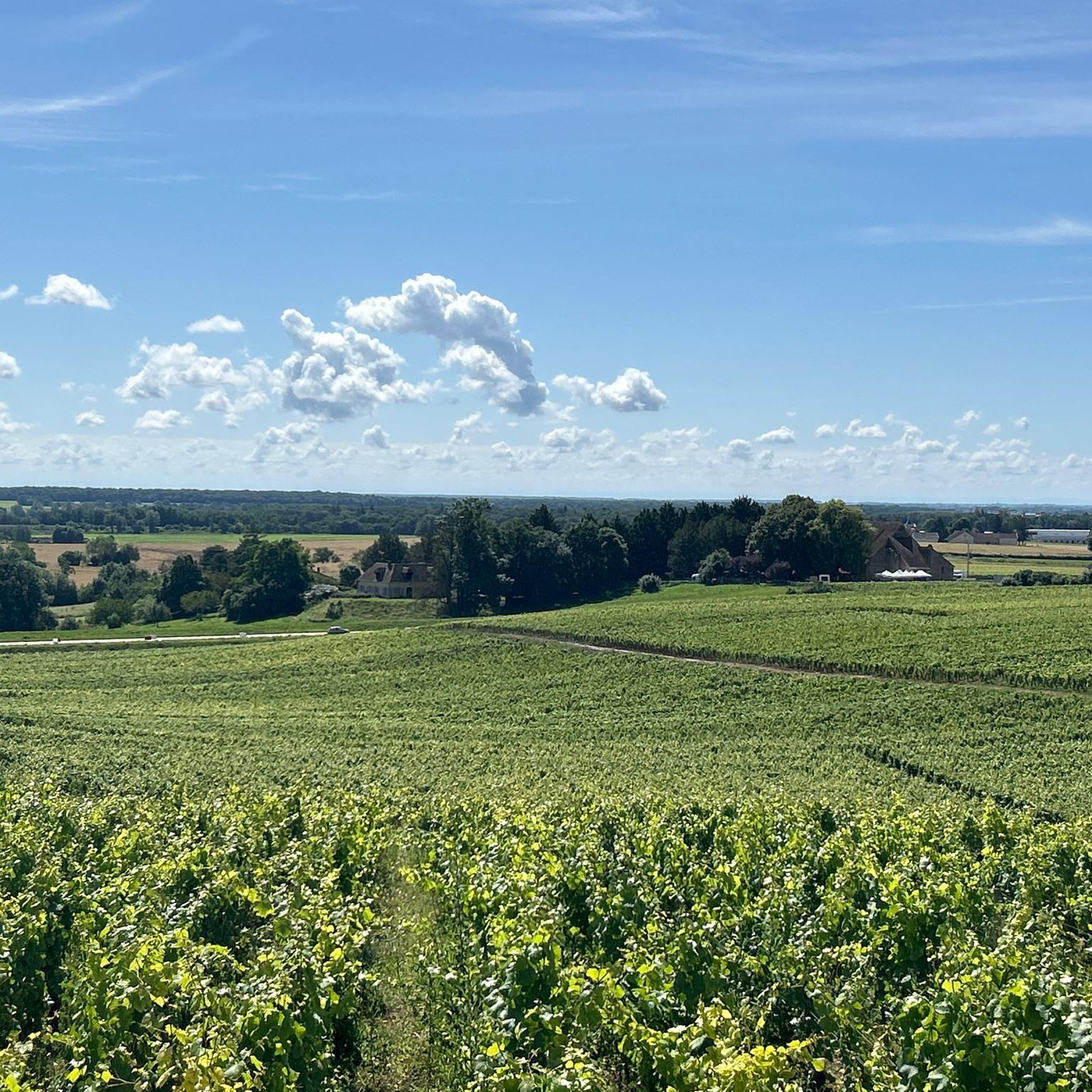
Nice view over the area.
0
0

Frequently Asked Questions
How many gravel bike trails are available around Bagnot?
Bagnot offers a selection of 6 gravel bike routes, ranging from moderate to difficult. These trails are well-suited for exploring the region's unique landscape.
Are there easy or family-friendly gravel bike trails in Bagnot?
The gravel biking terrain around Bagnot is generally accessible, characterized by low elevation changes and flat to gently rolling paths. While 5 of the 6 routes are rated moderate, they often follow riverbanks or agricultural tracks, making them enjoyable for those with some biking experience. For example, the Path along the Saône – La Saône loop from Pagny-la-Ville offers open views of the flatlands and is a moderate 17.6 miles (28.4 km) ride.
What kind of scenery can I expect on the gravel bike trails around Bagnot?
The routes in Bagnot are defined by river paths, canal-side routes, and agricultural tracks. You'll experience open views of the surrounding flatlands, often following the Saône River and various canals. The landscape features low elevation changes, providing a serene and picturesque ride through the region's waterways and fields.
Are there any loop trails for gravel biking in Bagnot?
Yes, all the gravel bike routes around Bagnot are designed as loop trails, allowing you to start and finish at the same point. A popular option is the Argilly loop from Auvillars-sur-Saône, which is 22.4 miles (36.1 km) and features varied surfaces.
What are the typical lengths and durations of gravel bike routes in Bagnot?
The gravel bike routes in Bagnot vary in length, generally ranging from about 17.6 miles (28.4 km) to 26.4 miles (42.5 km). Most rides can be completed within 2 to 3 hours. For instance, the Pont St-Jean-de-Losne – Saint-Jean-de-Losne loop from Seurre is 26.4 miles (42.5 km) and typically takes around 2 hours 48 minutes.
What is the best season for gravel biking in Bagnot?
Given the region's low elevation and proximity to waterways, spring and autumn generally offer the most pleasant conditions for gravel biking in Bagnot, with milder temperatures and beautiful scenery. Summer can also be enjoyable, though it's advisable to ride earlier in the morning or later in the afternoon to avoid the midday heat. Winter riding is possible, but paths might be damp or muddy, especially along riverbanks.
Are there any interesting sights or landmarks along the gravel bike routes?
Yes, several points of interest can be found near the gravel bike trails. You might encounter historical sites like the Abbey of Citeaux or the Saint Martin Church. For natural beauty, consider visiting The bleachers along the Saône at Seurre. These highlights offer opportunities to pause and explore during your ride.
Are there places to stop for refreshments or food along the gravel bike routes?
Many of the gravel bike routes pass through or near small towns and villages along the Saône River and canals, such as Seurre or Pagny-la-Ville. These locations often have local establishments where you can find refreshments or a meal. For example, the Guinguette by the Pond, Seurre – Seurre Lock — Canal Bypass loop from Seurre starts and ends near Seurre, offering convenient access to amenities.
What do other gravel bikers say about the trails in Bagnot?
The gravel biking routes in Bagnot are highly rated by the komoot community, with an average score of 3.5 stars from over 9 reviews. Riders often praise the accessible terrain, the scenic riverine landscapes, and the well-maintained paths that make for an enjoyable experience.
What is the maximum elevation gain on a single gravel bike route in Bagnot?
The gravel bike trails around Bagnot are characterized by low elevation changes. The highest elevation gain on any single route is under 200 meters, making them generally less strenuous in terms of climbing. For example, the Lock – Pont St-Jean-de-Losne loop from Bonnencontre has an elevation gain of approximately 65 meters.
Are there any specific weather conditions to consider when gravel biking in Bagnot?
Due to the region's flat terrain and proximity to waterways, paths can become muddy after heavy rainfall, especially on agricultural tracks and unpaved river sections. It's always a good idea to check the local weather forecast before heading out and to be prepared for potentially damp conditions, particularly outside of the drier summer months.
Most popular attractions around Bagnot

Get inspired with the komoot mobile app


Explore more
Browse the best Gravel rides in other regions.
