The best gravel rides around Vaux-En-Bugey
4.1
(14)
138
riders
30
rides
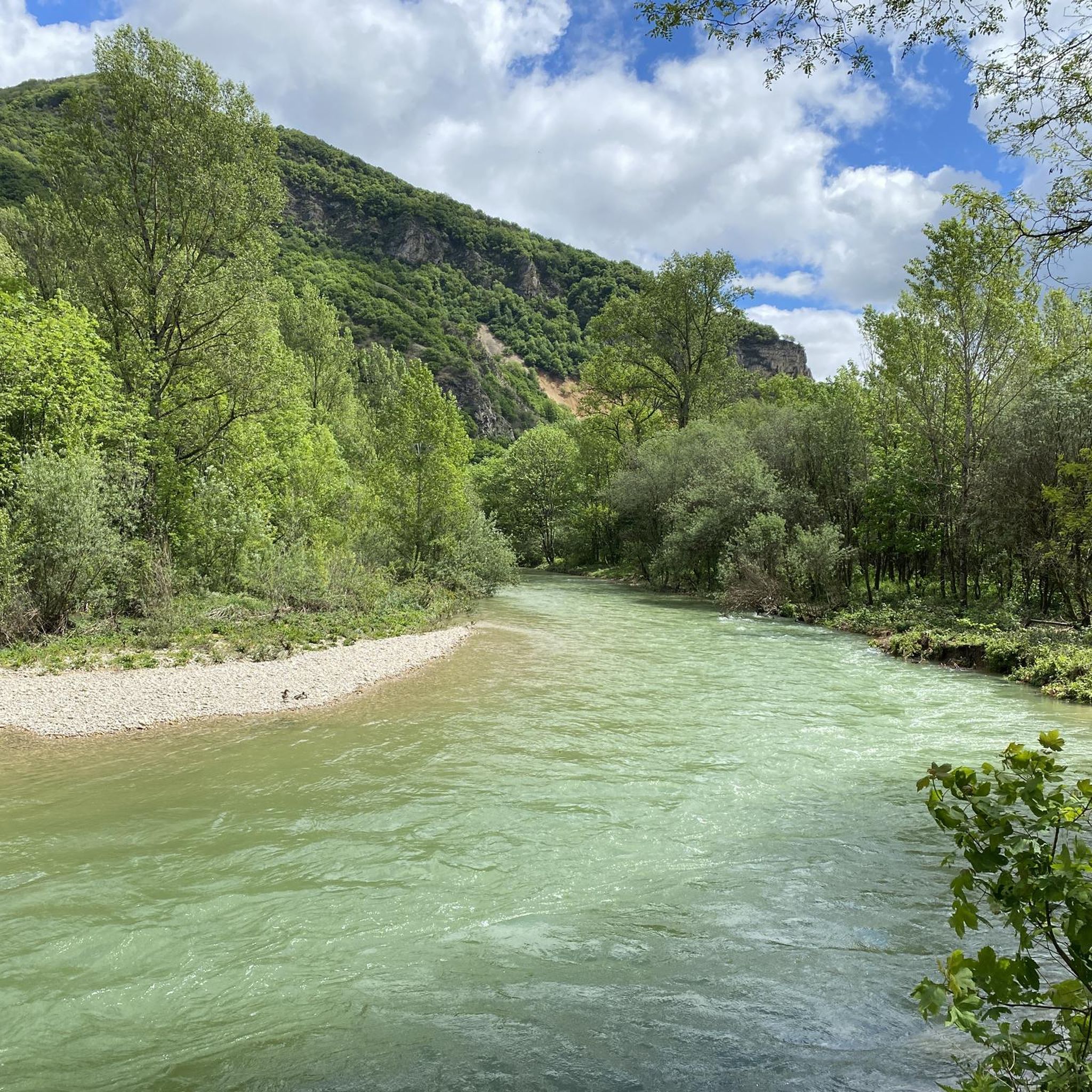
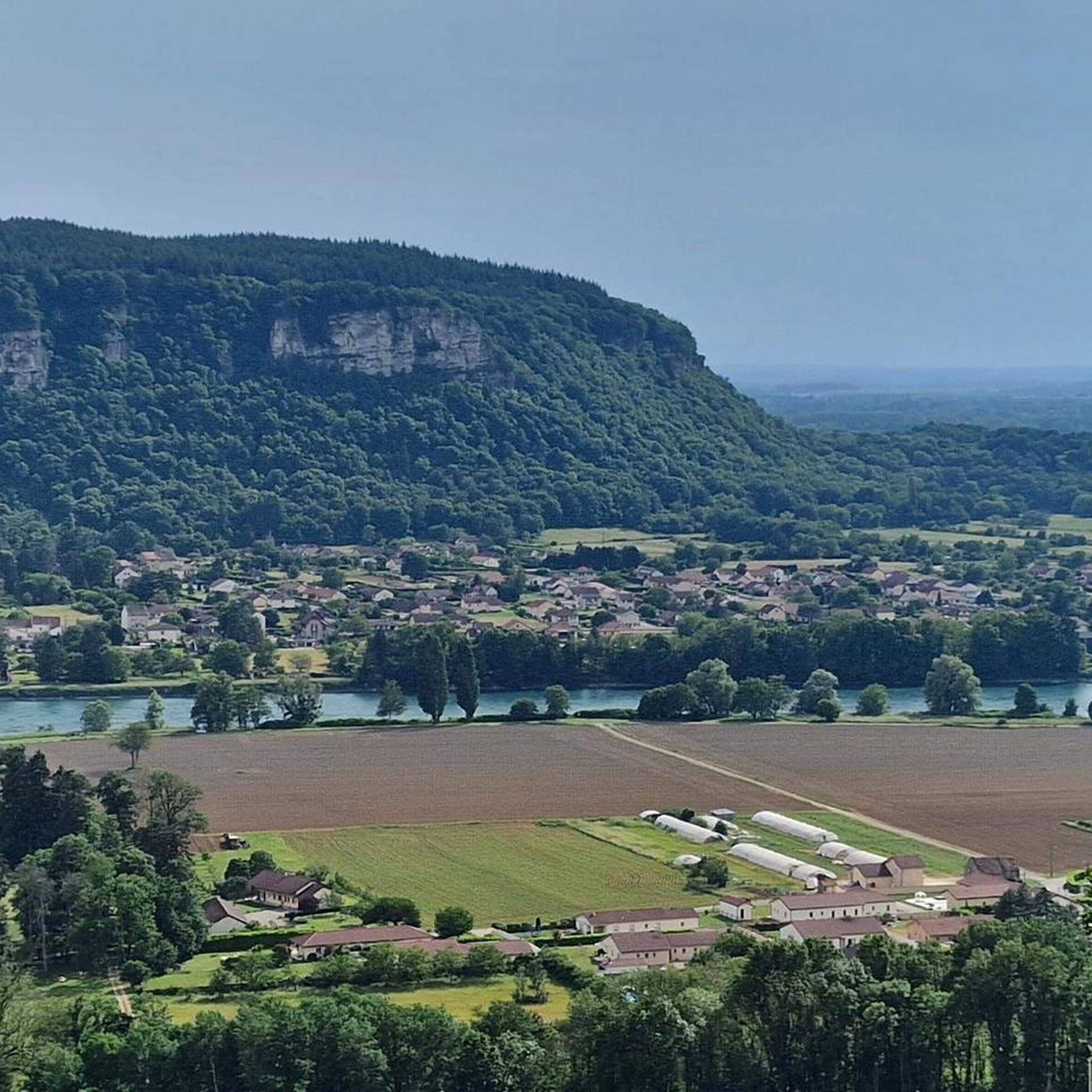
Gravel biking around Vaux-En-Bugey offers routes through varied terrain, characterized by the foothills of the Bugey mountains and the proximity to the Rhône river. The landscape features a mix of rolling hills, river valleys, and forested sections, providing diverse surfaces for gravel cyclists. Elevations can range from gentle inclines to more significant climbs, with some routes reaching over 1,500 meters of ascent.
Best gravel bike trails around Vaux-En-Bugey
- The most popular gravel bike trail is View of the Saut du…
Last updated: October 19, 2026
4.5
(2)
40
riders
90.6km
05:00
520m
520m
Hard gravel ride. Very good fitness required. Mostly paved surfaces. Suitable for all skill levels.
4.4
(5)
34
riders
Moderate gravel ride. Good fitness required. Mostly paved surfaces. Suitable for all skill levels.

4.0
(1)
5
riders
105km
07:32
1,800m
1,800m
Hard gravel ride. Very good fitness required. Mostly paved surfaces. Suitable for all skill levels.
5
riders
56.7km
04:03
1,060m
1,060m
Hard gravel ride. Very good fitness required. Mostly paved surfaces. Suitable for all skill levels.
9
riders
38.0km
02:08
120m
120m
Moderate gravel ride. Good fitness required. Mostly paved surfaces. Suitable for all skill levels.
Get access to more routes and recommendations from other explorers.
Already have an account?
Our route recommendations are based on thousands of hikes, rides, and runs completed by other people on komoot.
Start today with a free account
Your next adventure awaits.
Tips from the Community

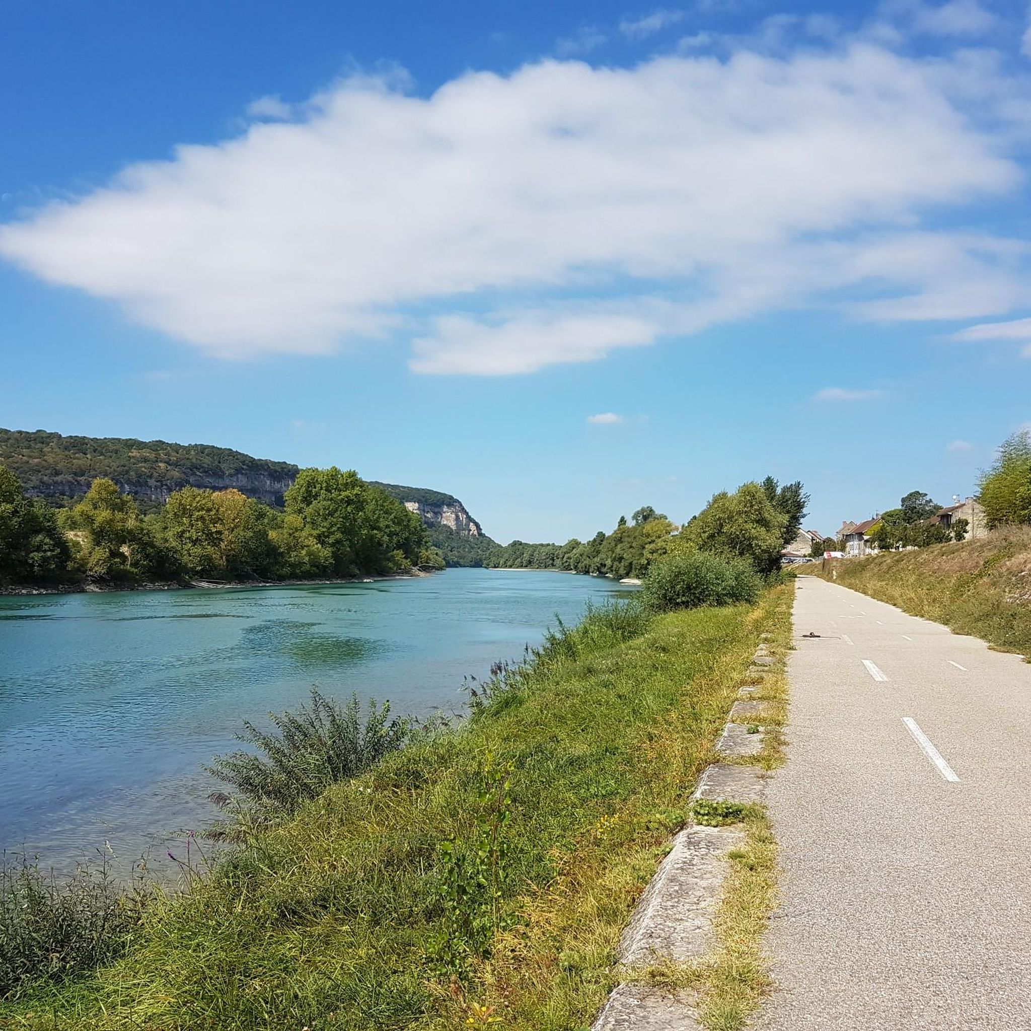
The Voie verte des Balcons du Dauphiné is a 18-kilometer-long secure cycle and pedestrian path, built on the route of the former Est Lyonnais railway line. It connects the medieval town of Crémieu to the municipality of Arandon-Passins, where it connects directly to the ViaRhôna.
0
0
The commune of Vertrieu, located in the department of Isère within the Balcons du Dauphiné, has the unique particularity of housing two major historical buildings: the Château Vieux (or Maison-Forte) and the Château Neuf (or Château Moderne).
0
0
The Sault-Brénaz dam (also called Villebois dam or Sault-Brénaz facility) is an important hydroelectric infrastructure located on the Rhône River. It is situated on the border between the departments of Ain and Isère, mainly near the communes of Sault-Brénaz and Villebois. Commissioned in 1986, this structure was the last major facility built by the Compagnie Nationale du Rhône (CNR) on the upper Rhône.
0
0
The Sault-Brénaz dam (also called Villebois dam or Sault-Brénaz facility) is an important hydroelectric infrastructure located on the Rhône River. It lies on the border between the departments of Ain and Isère, mainly near the communes of Sault-Brénaz and Villebois. Commissioned in 1986, this structure was the last major development built by the Compagnie Nationale du Rhône (CNR) on the upper Rhône.
0
0

Leisure base opposite Bas Bugey. A pleasant stop, but strangely located between 2 nuclear power plants...
0
0
Beautiful cycle path, mostly shaded, unpaved but rideable (I ride it with 23mm tires), which follows the old line of the Chemin de Fer de l'Est Lyonnais (CFEL)
0
0
The Abbey of Ambronay was founded in 800 by Barnard de Romans, a soldier, an officer of Charlemagne, and a future saint canonized in 944. The abbey church, built on the ruins of the Carolingian church, features gargoyles, sculptures, and paintings that will amuse children with their fascinating details. The cloister is a space of serenity that invites meditation: your imagination may perhaps chase some ghostly figures of monks. The visit will end in the gardens where you will discover medicinal plants on the botanical trail. https://www.ain-tourisme.com/visiter-patrimoine/monuments-religieux-a-visiter-dans-l-ain/abbaye-benedictine-dambronay/
1
0

cycle path very busy in good weather
1
0
Frequently Asked Questions
How many gravel bike trails are available around Vaux-En-Bugey?
There are over 35 gravel bike routes in the Vaux-En-Bugey area, offering a mix of moderate and difficult options. The region is known for its varied terrain, including river valleys, rolling hills, and forested sections.
Are there any easy gravel bike routes suitable for beginners in Vaux-En-Bugey?
While many routes in Vaux-En-Bugey feature significant elevation gain, there are moderate options with gentler inclines. For a relatively flat and shorter ride, consider the Village Scene Mural – Church loop from Le Tiret, which covers about 28 km with minimal elevation.
What are some challenging gravel bike trails for experienced riders?
Experienced gravel bikers will find plenty of challenges. The Allymes Castle – Col du Nivollet loop from Ambérieu-en-Bugey is a difficult 90.9 km path with over 1,500 meters of elevation gain, passing by Allymes Castle. Another demanding option is the Col de Fay – La Balme Caves loop from Lagnieu, a 62 km route with over 1,200 meters of ascent.
Are there any circular gravel bike routes in the area?
Yes, many of the gravel bike routes around Vaux-En-Bugey are designed as loops. For example, the popular View of the Saut du Rhône – View of Vertrieu castle loop from Porcieu - Pont de Sault-Brénaz is a 68 km circular trail offering scenic views of the Rhône river.
What kind of scenic viewpoints can I expect on gravel trails near Vaux-En-Bugey?
The region offers diverse scenic views, from the Rhône river valleys to the Bugey foothills. Routes often provide panoramic vistas of the surrounding landscape, including historic castles and natural features. The View of the Saut du Rhône – View of Vertrieu castle loop is specifically highlighted for its scenic views of the Rhône and historic castles.
What historical landmarks or natural attractions can I see along the gravel bike trails?
Several routes pass by notable attractions. You can explore Allymes Castle on the difficult loop from Ambérieu-en-Bugey, or ride past the impressive La Balme Caves on the Col de Fay loop. The region also features beautiful lakes like Lac Bleu on the Gardon.
What do other gravel bikers say about the trails in Vaux-En-Bugey?
The gravel biking routes in Vaux-En-Bugey are highly rated by the komoot community, with an average score of 4.7 stars from over 10 reviews. Riders often praise the varied terrain, the challenging climbs, and the beautiful river views and historic landmarks encountered along the way.
Are there any gravel bike routes that pass by lakes or water features?
Yes, the region is close to several lakes. While specific routes aren't always centered around them, you can find highlights like Lac Bleu on the Gardon, Vallée Bleue Lake, and Priay Lake in the vicinity, which can be incorporated into or viewed from various tours.
What is the typical duration for gravel bike routes in Vaux-En-Bugey?
Route durations vary significantly based on distance and elevation. Moderate routes like the Village Scene Mural – Church loop can take around 2 hours. More difficult and longer routes, such as the Allymes Castle – Col du Nivollet loop, can take over 7 hours to complete.
Are there any routes that feature castles or historic fortifications?
Yes, the area is rich in history. The Allymes Castle – Col du Nivollet loop directly passes by Allymes Castle. Additionally, the Bosse de Vaux-Bettand – Chateau des Allymes loop from Ambutrix also features the Chateau des Allymes, offering a different perspective on this historic site.
What kind of terrain should I expect on gravel bike trails in Vaux-En-Bugey?
The terrain around Vaux-En-Bugey is diverse, characterized by the foothills of the Bugey mountains and the proximity to the Rhône river. You'll encounter a mix of rolling hills, river valleys, and forested sections, providing varied surfaces suitable for gravel cycling. Elevations can range from gentle inclines to significant climbs.
Most popular routes around Vaux-En-Bugey
Most popular attractions around Vaux-En-Bugey

Get inspired with the komoot mobile app


Explore more
Browse the best Gravel rides in other regions.
