The best MTB trails around Vaux-En-Bugey
4.4
(218)
1,462
riders
184
rides
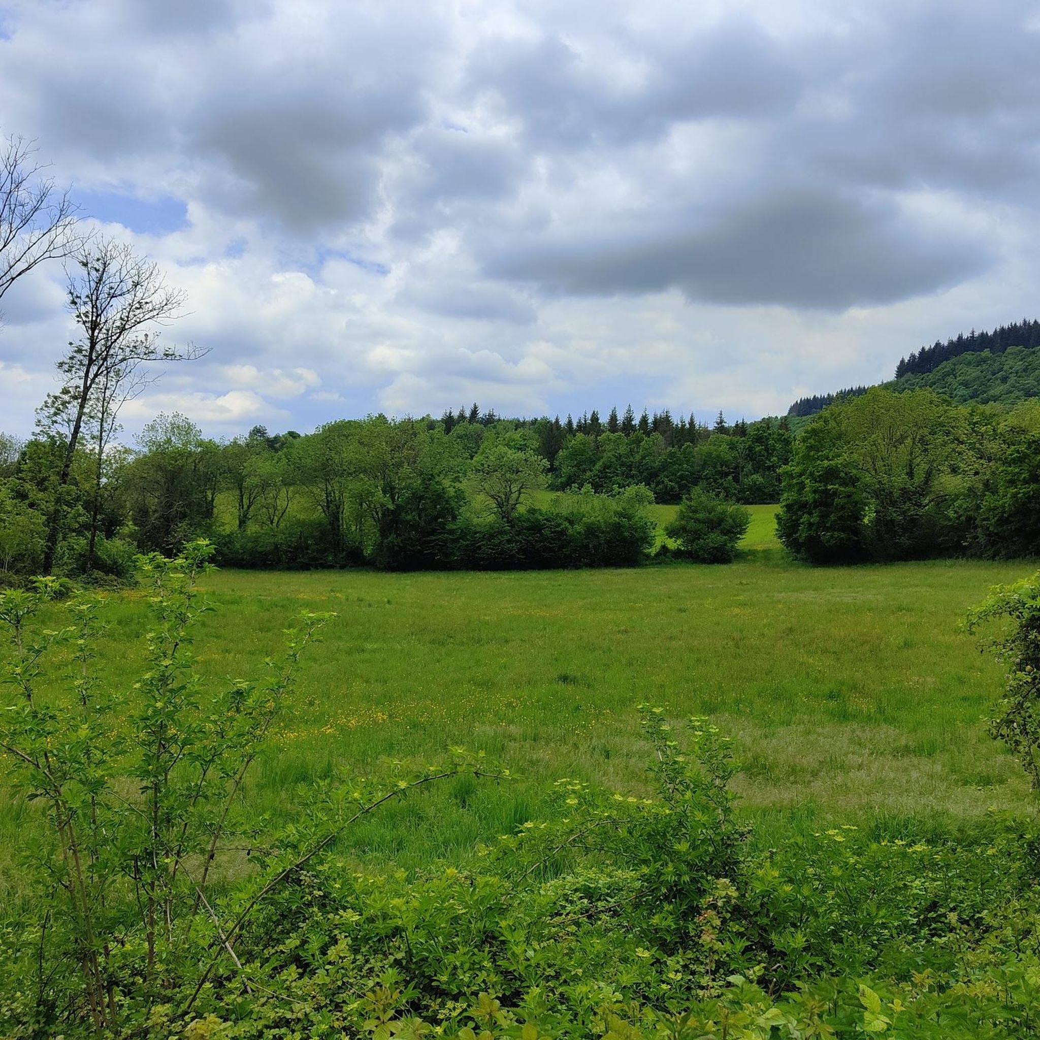
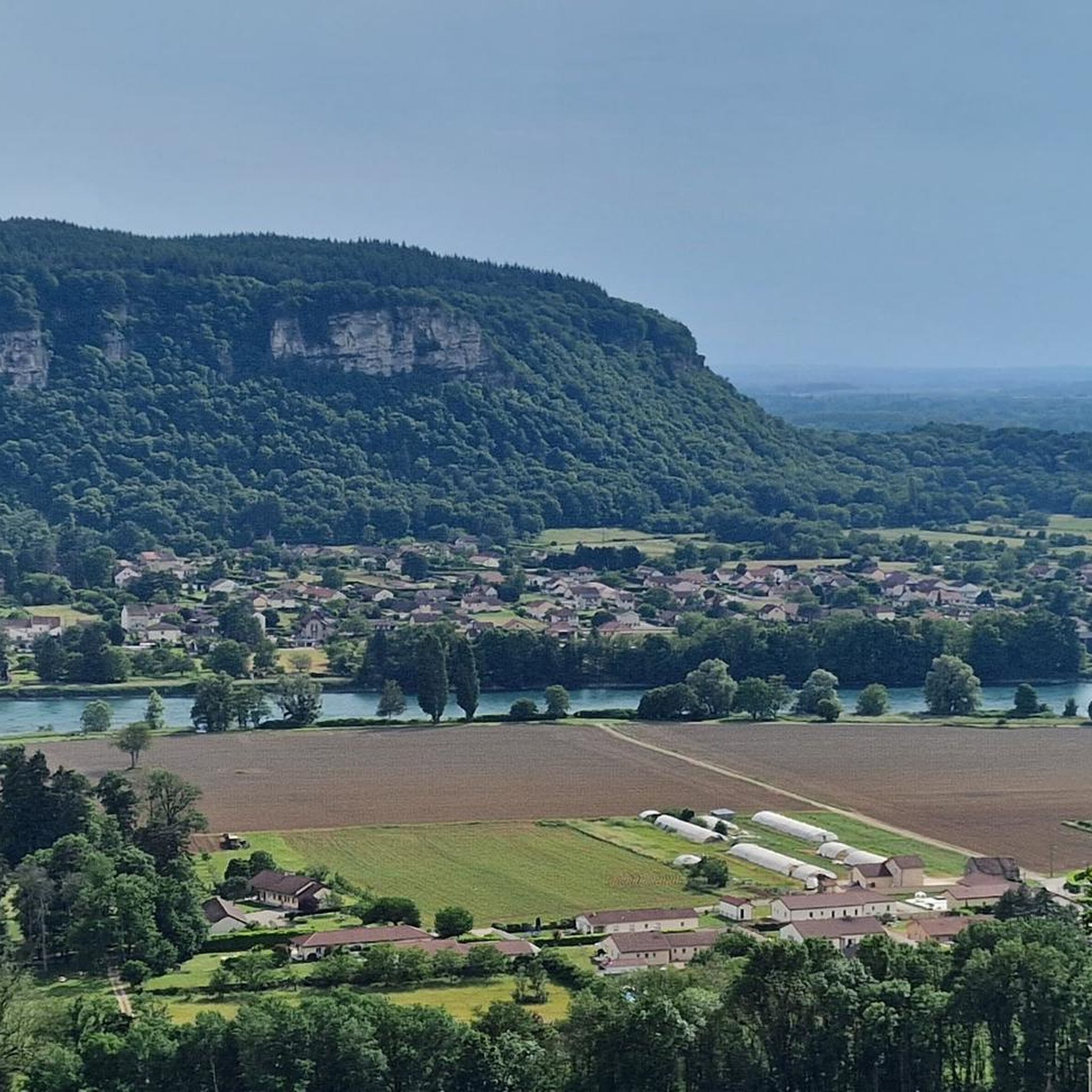
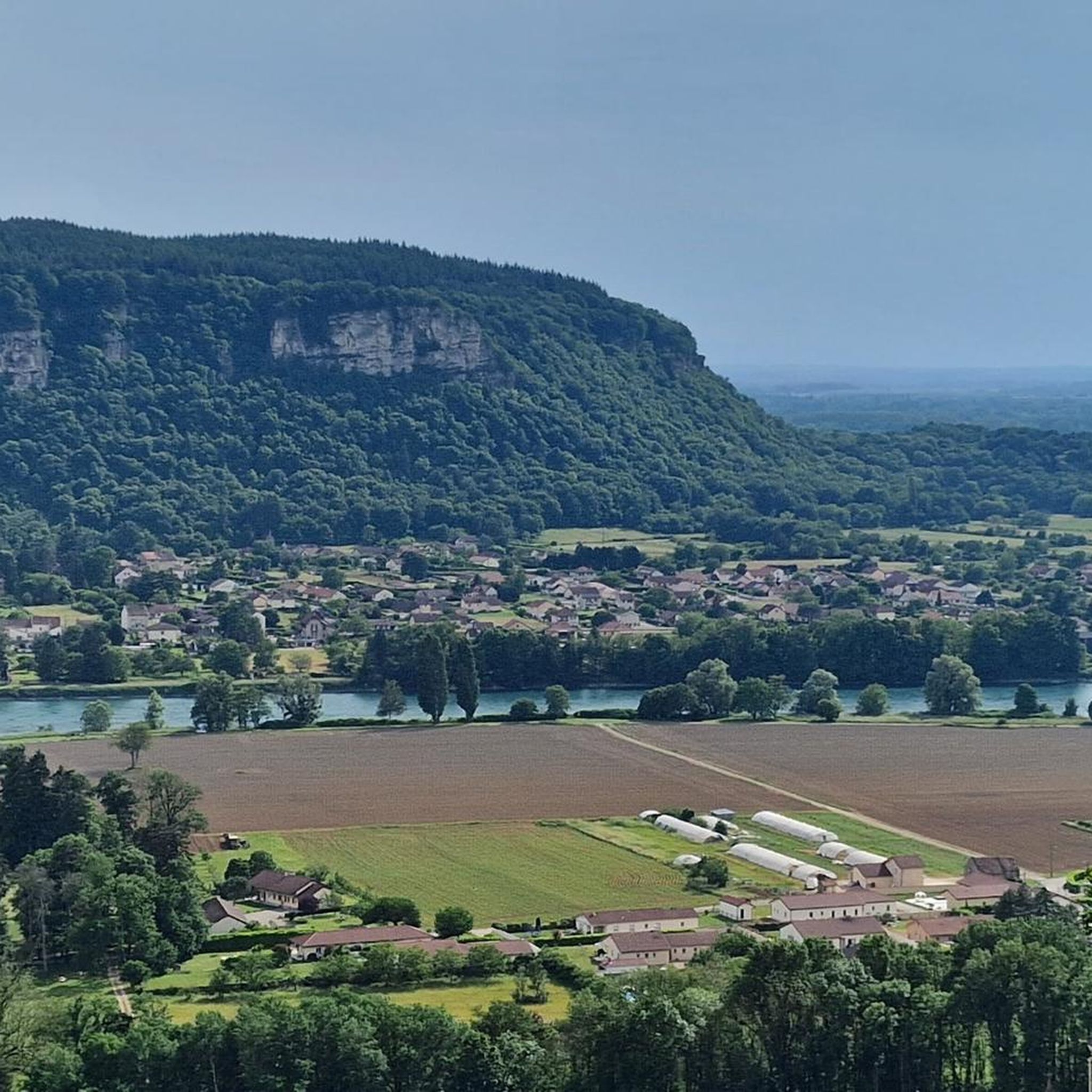
Mountain biking around Vaux-En-Bugey is situated within the diverse landscapes of the Bugey region in the Ain department of France. This area is characterized by limestone soils, extensive forest routes, and varied terrain that includes demanding ascents and rapid descents. The region features plateaus, vineyards with steep slopes, and river gorges, providing a range of natural features for mountain biking. The Bugey Mountains and plateaus offer challenging climbs and varied trails.
Best mountain bike trails around Vaux-En-Bugey
- The most popular…
Last updated: July 11, 2026
58
riders
48.7km
04:54
1,240m
1,240m
Hard mountain bike ride. Very good fitness required. Advanced riding skills necessary.
4.2
(13)
83
riders
28.0km
03:14
1,140m
1,140m
Hard mountain bike ride. Very good fitness required. Advanced riding skills necessary. Some portions of the route may require you to push your bike.

Sign up for free
5.0
(2)
20
riders
24.0km
02:22
640m
640m
Moderate mountain bike ride. Good fitness required. Suitable for all skill levels.
4.0
(1)
19
riders
19.1km
02:06
670m
670m
Moderate mountain bike ride. Good fitness required. Suitable for all skill levels.
3.7
(3)
17
riders
45.7km
02:53
110m
110m
Moderate mountain bike ride. Good fitness required. Advanced riding skills necessary.
Get access to more routes and recommendations from other explorers.
Sign up for free
Already have an account?
Our route recommendations are based on thousands of hikes, rides, and runs completed by other people on komoot.
Start today with a free account
Your next adventure awaits.
Login or Signup
Tips from the Community

This spot didn't impress me: "blue lake" is an exaggeration, it's a very small reservoir... lots of people on the banks too.
0
1

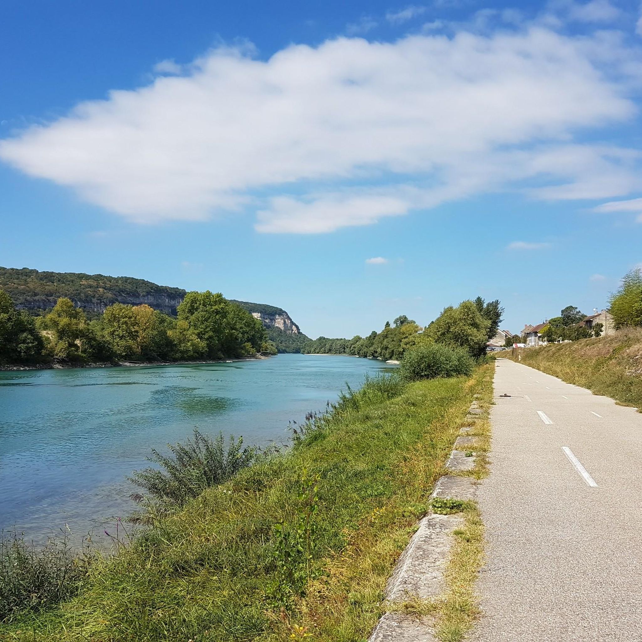
A short climb that allows you to switch between the two villages, on one side the Albarine Green Way, on the other the start of the climb towards the Col de Porte!
1
0
Officially referenced pass, its 2 sides are: Saint-Rambert-en-Bugey and Ambérieu-en-Bugey.
0
0

Smaller pond than lake..more green than blue. Average.
0
0
Nice route of beautiful paths in the undergrowth, some singles without difficulties, some viewpoints on the heights of Vaux, Lagnieu. Attention ⚠ small single going up between Vaux en bugey / Bramafan very steep and narrow, the second part of the descent after Bramafan is technical slope and slippery rocks.
0
0


and another bridge, this time over the Rhone
0
0

Blue Lake, as you can imagine, owes its name to the bright shades of blue that its water takes on. The bridge that spans the lake makes it look bigger than it is, but it is actually the dam that creates the lake on the Gardon River.
3
0
Frequently Asked Questions
How many mountain bike trails are available around Vaux-En-Bugey?
The Vaux-En-Bugey area offers a wide selection of mountain bike trails, with nearly 200 routes available on komoot. These trails cater to various skill levels, from easy forest paths to challenging ascents and descents.
What types of mountain bike trails can I expect in Vaux-En-Bugey?
You'll find a diverse range of trails, including undergrowth singletracks, long forest routes, and varied terrain with both demanding ascents and rapid descents. The region's limestone soils, characteristic of the Jura massif, provide excellent grip, enhancing the riding experience. The trails are officially certified by the FFC or FFCT, ensuring a fluid and immersive experience in nature.
Are there mountain bike trails suitable for beginners or families in Vaux-En-Bugey?
Yes, the Ain's mountain bike network, which includes trails around Vaux-En-Bugey, offers four levels of difficulty. This means there are plenty of options for beginners seeking relaxed rides and families looking for enjoyable outings. You can find over 50 easy routes in the area.
What are some challenging mountain bike routes for experienced riders?
For experienced riders, the region offers challenging terrain, particularly through the Bugey Mountains and plateaus. A notable difficult route is the Tour Saint-Denis – Favourite tour loop from Ambérieu-en-Bugey, which covers 48.6 km with significant elevation changes. The Grand Colombier Massif also presents demanding sections for cyclists.
Are there any circular mountain bike routes in the area?
Yes, many routes around Vaux-En-Bugey are designed as loops. For example, the Source of the Gardon loop from Ambérieu-en-Bugey is a moderate 23.1 km path offering a mix of forest tracks and scenic views. Another popular loop is the Source of the Gardon – Lac Bleu on the Gardon loop from Ambérieu-en-Bugey, spanning 33.4 km.
What natural attractions or viewpoints can I find along the trails?
The region is rich in natural beauty. You might encounter stunning panoramic views from the Retord and Hauteville plateaus, with potential glimpses of Mont Blanc on clear days. The Grand Colombier Massif offers breathtaking vistas. Water features like the Thurignin Gorges and the Source du Groin are impressive, especially in spring and autumn. You can also visit Lac Bleu on the Gardon.
Are there any historical or cultural landmarks to see while mountain biking?
Yes, the area combines natural beauty with cultural heritage. You can ride past historical sites such as Allymes Castle, which is featured on the Allymes Castle – View of the Château des Allymes loop from Ambérieu-en-Bugey. The region is also known for its picturesque Bugey vineyards with dramatic steep slopes, offering unique scenic routes.
What is the best time of year for mountain biking in Vaux-En-Bugey?
The Bugey region offers good conditions for mountain biking for much of the year. Spring and autumn are particularly pleasant, with the Source du Groin being especially impressive during these seasons. Summer also provides excellent opportunities to explore the diverse landscapes. Always check local weather conditions before heading out.
Where can I find parking for mountain biking trails in Vaux-En-Bugey?
While specific parking locations for each trailhead are not detailed here, routes often start from towns like Ambérieu-en-Bugey, where public parking facilities are generally available. It's advisable to check the starting point of your chosen komoot tour for more precise parking information.
What do other mountain bikers enjoy most about mountain biking in Vaux-En-Bugey?
The area is highly rated by the komoot community, with an average score of 4.4 stars from over 200 reviews. Mountain bikers often praise the diverse terrain, ranging from challenging ascents to exhilarating descents, and the immersive experience of riding through extensive forest routes and undergrowth singletracks. The variety of routes accommodating different skill levels is also a significant draw.
Are there any long-distance mountain bike routes accessible from Vaux-En-Bugey?
Vaux-En-Bugey is located near the broader Bugey region, which is part of the extensive Espace VTT-FFCT Ain-Forestière network. This includes sections of the renowned Grande Traversée du Jura (GTJ), a multi-day mountain bike route stretching over 400 km. A southern loop of the GTJ, approximately 100 km long, explores the southern end of the Jura mountains, including the Plateaus of Retord and Grand Colombier, making the area an excellent base for longer adventures. For more information on the GTJ, you can visit Bugey Sud Tourisme.
What is the average elevation gain on mountain bike trails in this region?
The elevation gain varies significantly depending on the trail's difficulty. For instance, a moderate route like the Tour Saint-Denis – Col de Fay loop from Ambérieu-en-Bugey involves an ascent of over 845 meters, while more difficult trails can feature climbs exceeding 1200 meters, especially in areas like the Grand Colombier massif.
Most popular routes around Vaux-En-Bugey
Most popular attractions around Vaux-En-Bugey

Get inspired with the komoot mobile app


Explore more
Browse the best MTB trails in other regions.
