The best gravel rides around Pluvigner
4.5
(63)
453
riders
49
rides
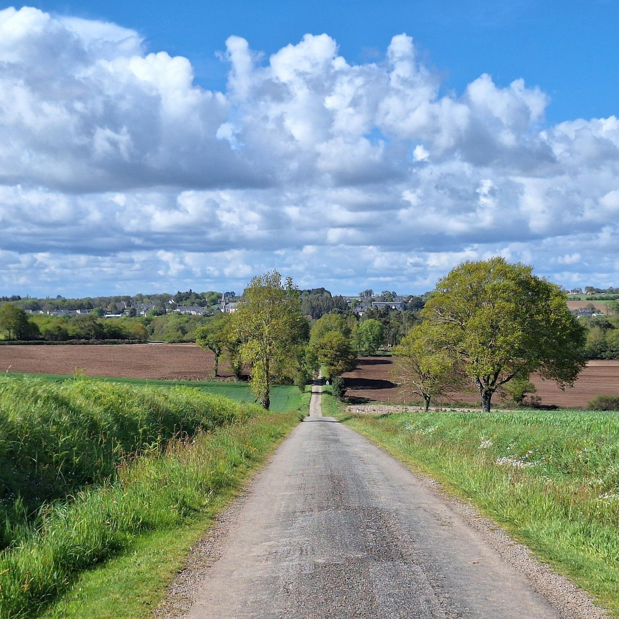
Gravel biking around Pluvigner offers a diverse landscape characterized by a mix of rural roads, forest paths, and riverside trails. The region features gentle rolling hills and open countryside, providing varied terrain suitable for gravel bikes. Riders can expect to encounter a network of quiet lanes and unpaved tracks that connect small villages and natural areas, including the extensive Camors Forest and the Lanvaux Moors. This environment supports both leisurely rides and more challenging long-distance routes.
Best gravel bike trails…
Last updated: July 3, 2026
34
riders
93.2km
06:20
930m
930m
Hard gravel ride. Very good fitness required. You may need to push your bike for some segments of this route.
4.7
(11)
27
riders
39.8km
02:26
260m
260m
Hard gravel ride. Good fitness required. You may need to push your bike for some segments of this route.

Sign up for free
4.5
(2)
11
riders
25.8km
02:02
230m
230m
Moderate gravel ride. Good fitness required. Mostly paved surfaces. Suitable for all skill levels.
4.0
(1)
17
riders
61.9km
03:46
320m
320m
Moderate gravel ride. Good fitness required. Mostly paved surfaces. Suitable for all skill levels.
6
riders
52.3km
03:30
500m
500m
Hard gravel ride. Very good fitness required. Mostly paved surfaces. Suitable for all skill levels.
Get access to more routes and recommendations from other explorers.
Sign up for free
Already have an account?
Our route recommendations are based on thousands of hikes, rides, and runs completed by other people on komoot.
Start today with a free account
Your next adventure awaits.
Login or Signup
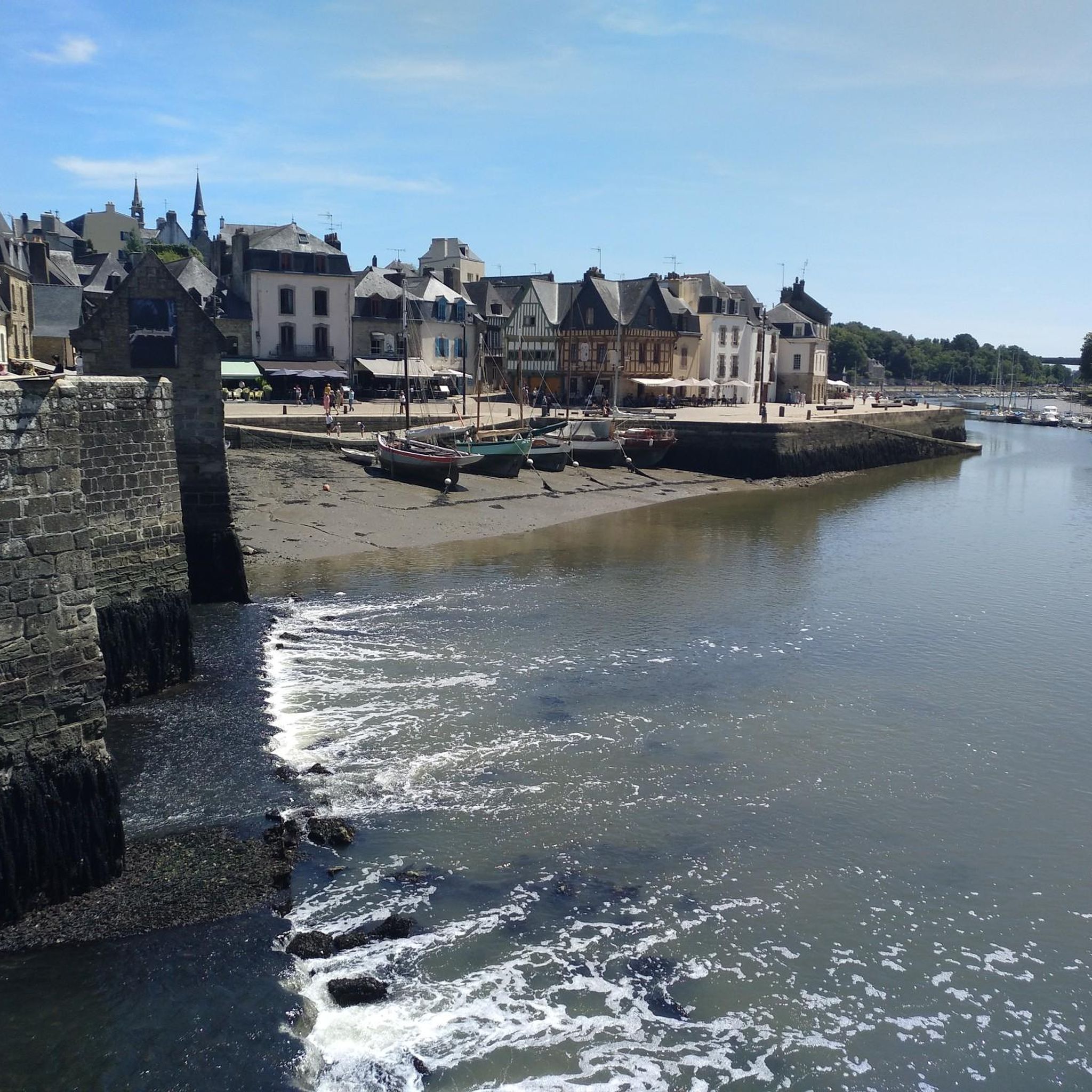
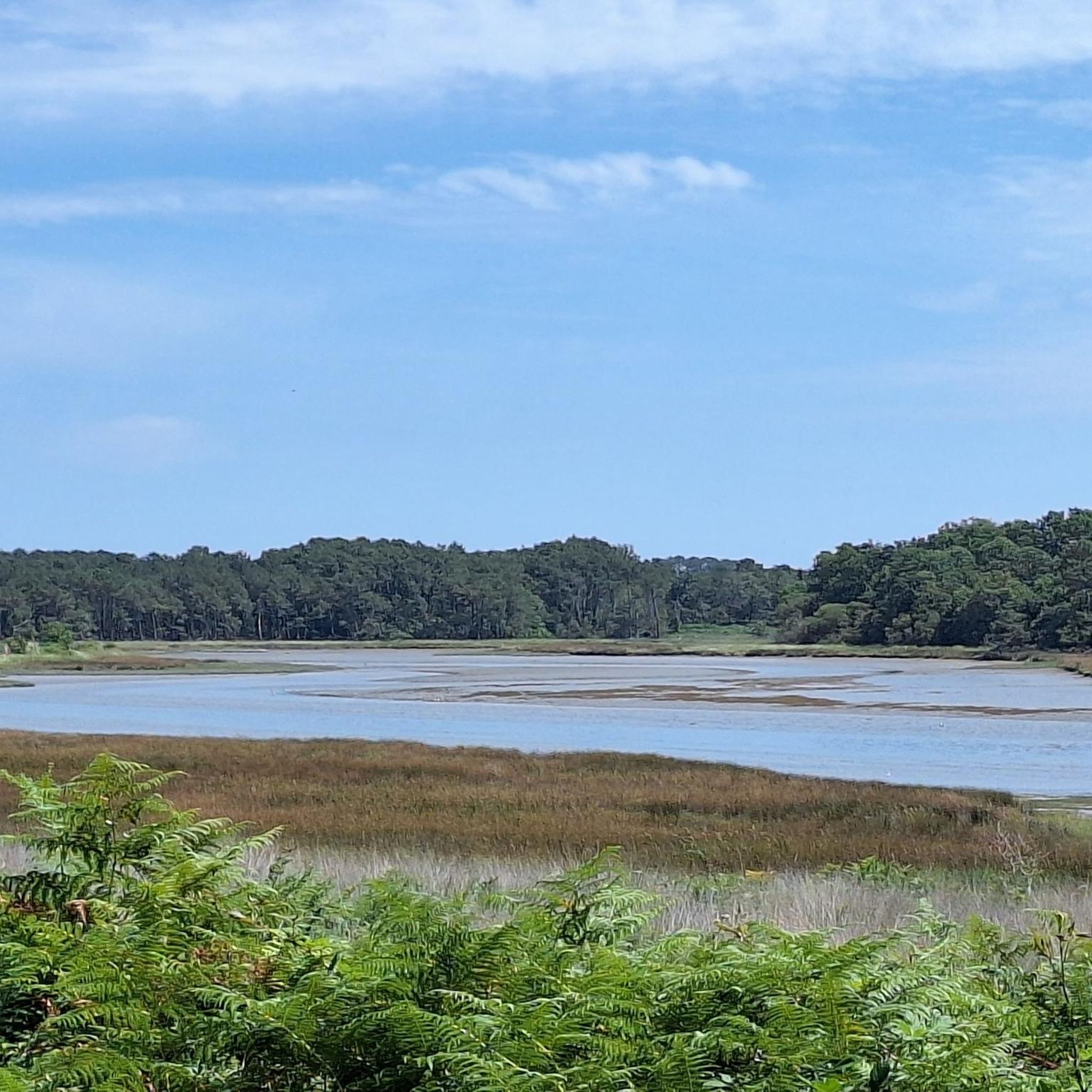
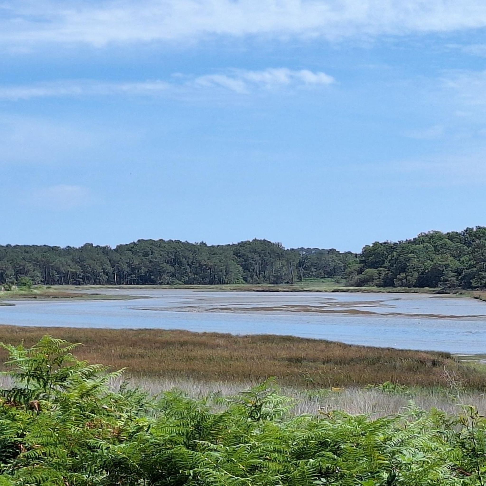
Tips from the Community


magical place, calm and restful for the eyes
0
0

Superb Christmas mapping
0
0

Built in the 16th century, the chapel opposite Plouharnel Bay is listed as a historic monument. It was enlarged in the 18th century, damaged during the Revolution and World War II, and subsequently restored. The chapel houses beautiful furniture, the most notable of which is an alabaster relief depicting the Tree of Jesse. This 16th-century sculpture is listed as a historic monument.
0
0

Great view of the port of Trinite
0
0

Great place with picnic table 👍
0
0


Excellent view of the Crac'h river.
2
0
Frequently Asked Questions
What is the general difficulty level of gravel biking trails around Pluvigner?
Pluvigner offers a diverse range of gravel biking trails suitable for various skill levels. While many routes are classified as moderate (38 tours) or difficult (23 tours), there are also 3 easy tours available, making it accessible for both beginners and experienced riders. The terrain often includes gentle rolling hills, rural roads, and forest paths.
Are there options for long-distance gravel rides in Pluvigner?
Yes, Pluvigner features several excellent long-distance gravel routes. For example, the Sainte-Anne d'Auray – Moulin-L'Evêque footbridge loop from Landaul - Mendon is nearly 100 km long, offering a significant challenge. Another substantial option is the Locmariaquer – Saint-Philibert Chapel loop from Brech, which covers 83 km through coastal and rural landscapes.
Where can I park my car when starting a gravel bike ride in Pluvigner?
While specific parking areas aren't detailed for each route, you can generally find parking in the centers of the small villages that serve as starting points for many trails, such as Brech or Lambel-Camors. Look for designated public parking spaces or areas near local amenities.
Is Pluvigner accessible by public transport for gravel bikers?
Public transport options directly to trailheads might be limited in this rural region. It's advisable to check local bus services or regional train connections to larger towns nearby, and then plan for a short ride or taxi to your desired starting point. Bringing your bike on public transport may also have restrictions, so verify in advance.
Are there family-friendly gravel bike trails suitable for beginners in Pluvigner?
Yes, Pluvigner does offer some easier routes that could be suitable for families or beginners. The region's landscape of rural roads and gentle rolling hills provides a good environment for less strenuous rides. Look for routes specifically marked as 'easy' in komoot, which typically have less elevation gain and smoother surfaces.
What is the best time of year for gravel biking in Pluvigner?
The best time for gravel biking in Pluvigner is generally from spring through early autumn (April to October). During these months, the weather is typically milder and drier, making for more pleasant riding conditions on the rural roads and forest paths. Winter can bring colder, wetter weather, which might make some unpaved sections muddy.
Are there any cafes or places to eat near the gravel trails in Pluvigner?
Many gravel routes in Pluvigner pass through or near small villages. These villages often have local cafes, bakeries, or small restaurants where you can stop for refreshments. It's a good idea to check your route beforehand and identify potential stops along the way, especially in towns like Brech or near popular attractions.
What kind of viewpoints or scenic spots can I expect on Pluvigner's gravel routes?
Pluvigner's gravel routes offer scenic views of the region's diverse landscape, including open countryside, riverside paths, and coastal areas. For example, the Viewpoint overlooking the Ria d'Étel – Martyrs' Monument loop from Talhouet provides stunning vistas of the Ria d'Étel estuary. You'll also encounter charming rural scenery and historical points of interest like the Saint Jean fountain and washhouse on the Single by the stream loop from Lambel-Camors.
What do other gravel bikers enjoy the most about gravel biking in Pluvigner?
The area is highly rated by the komoot community, with an average score of 4.4 stars from over 70 reviews. Reviewers often praise the diverse terrain, which includes a mix of rural roads, forest paths, and riverside trails, as well as the quiet, scenic nature of the routes connecting small villages and natural areas.
Are there any interesting landmarks or attractions to see along the gravel bike trails?
Yes, several routes pass by notable landmarks. For instance, you can visit Sainte-Anne d'Auray, a significant religious site, or explore the Champs des Martyrs in Brec'h. The region also features charming chapels like Notre-Dame de Lézurgan Chapel and scenic greenways such as the Vannes – Sainte-Anne-d'Auray Greenway.
Are there many circular gravel bike routes available in Pluvigner?
Yes, many of the gravel bike routes in Pluvigner are designed as loops, allowing you to start and end your ride in the same location. Examples include the popular Sainte-Anne d'Auray – Auray River loop from Brech and the Locmariaquer – Saint-Philibert Chapel loop from Brech, providing convenient options for exploration.
Most popular attractions around Pluvigner

Get inspired with the komoot mobile app


Explore more
Browse the best Gravel rides in other regions.
