The best running trails around Pluvigner
4.2
(20)
424
runners
54
runs
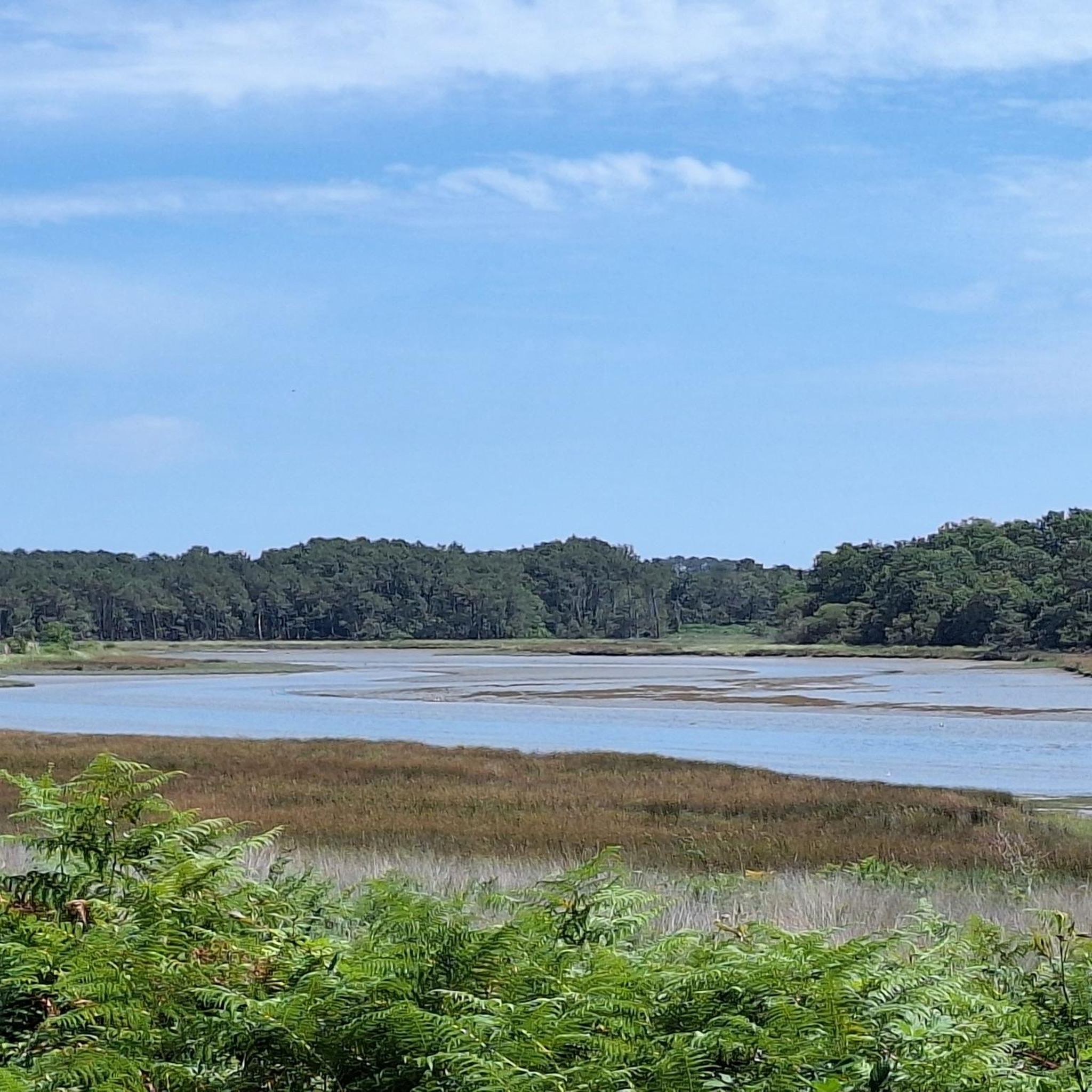
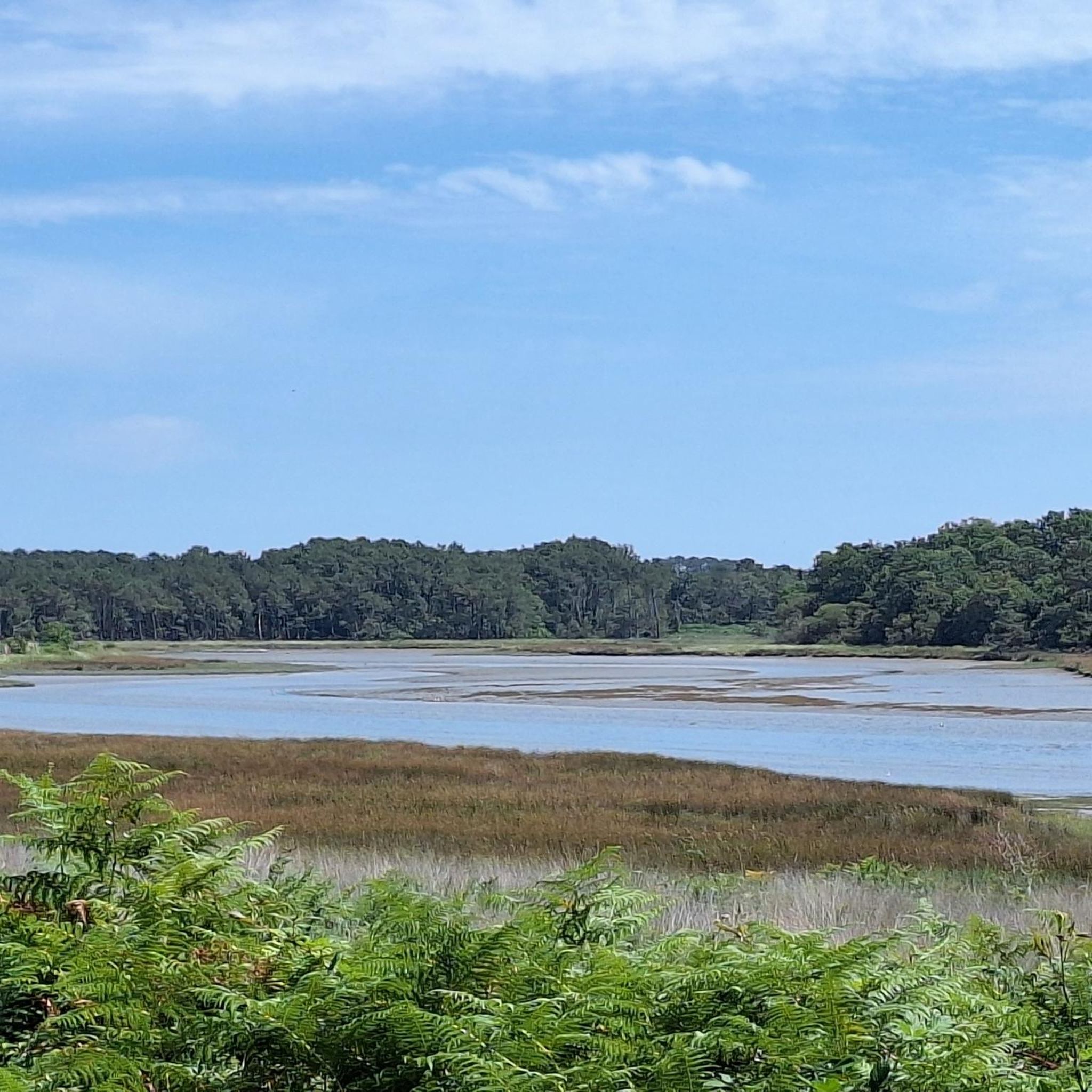
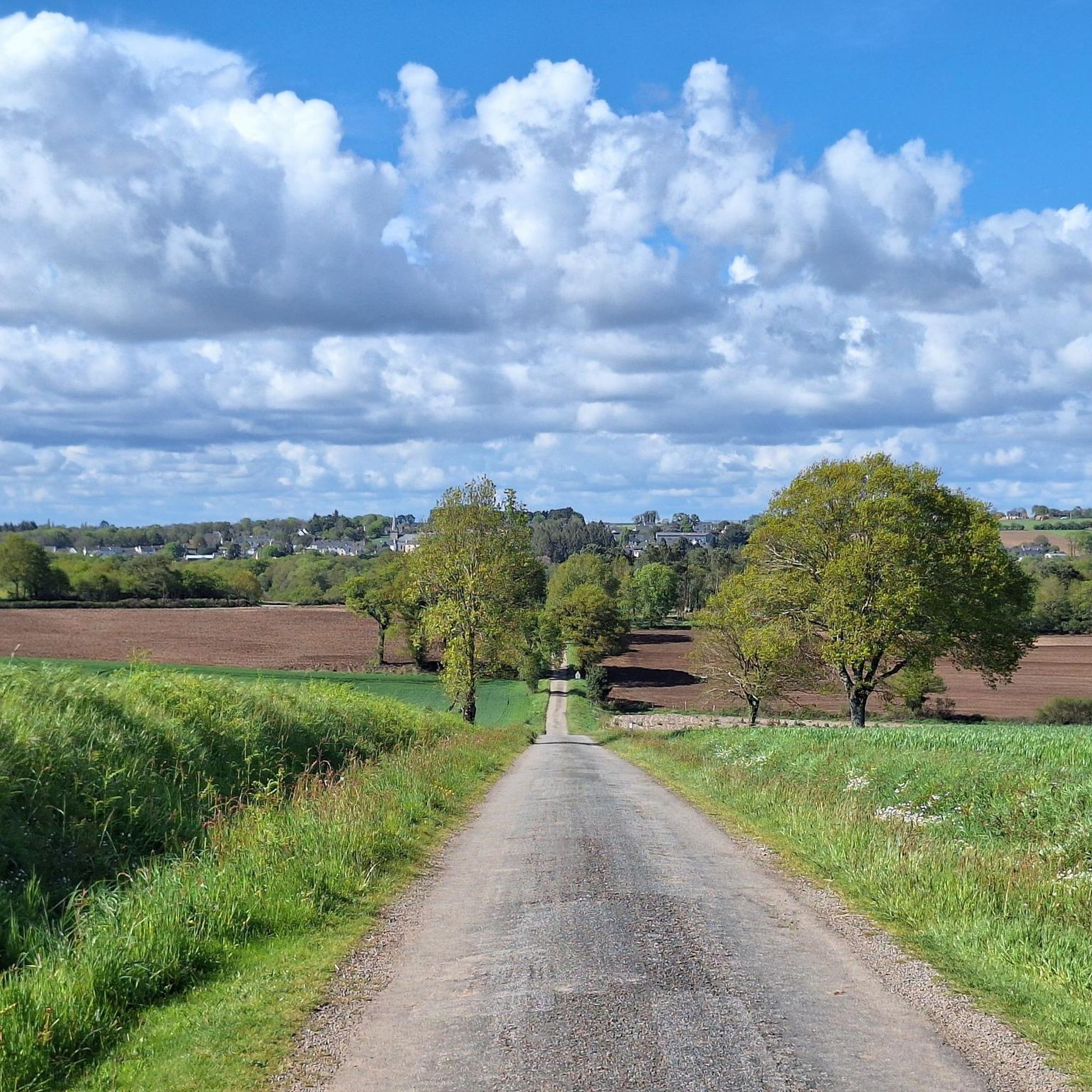
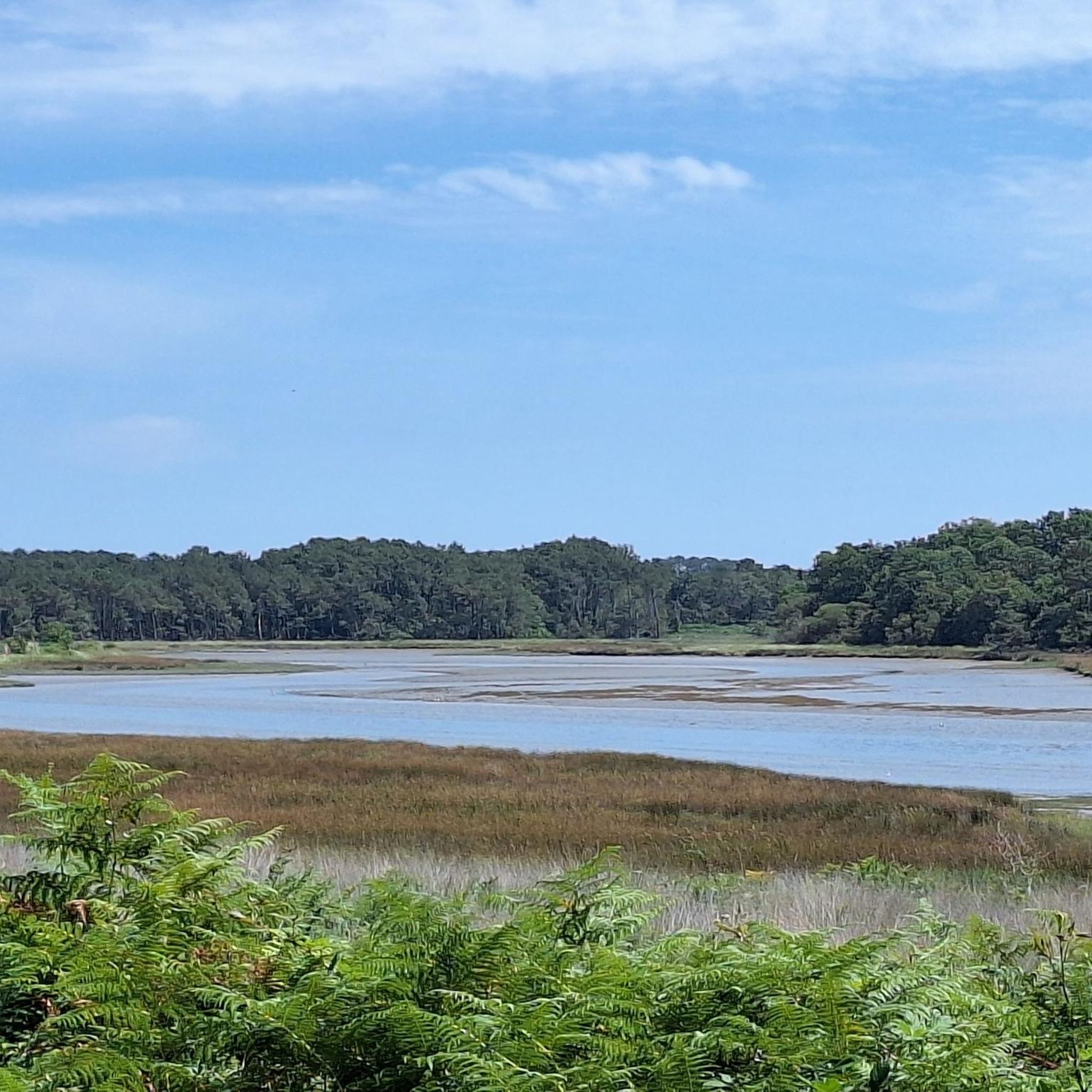
Jogging around Pluvigner offers diverse landscapes, from dense woodlands to open rural countryside. The region features extensive forest areas like the Forêt de Bréventec and Lanvaux forest, providing shaded paths and varied terrain. Elevations range from 17m to 146m, allowing for routes with gentle gradients and some challenging climbs. Numerous paths and trails crisscross the countryside, often integrating historical sites and natural springs.
Best jogging routes around Pluvigner
- The most popular jogging route is Forêt de Bréventec – Raidard Trail loop from Pluvigner, a 6.3 miles (10.2 km) trail that takes 1 hour 9 minutes to complete. This moderate route includes the "Sentier du Raidard" and offers shaded paths through woodlands.
- Another top favourite among local runners is Étang de la Forêt – Menhir de l'Armoirie loop from Bieuzy-Lanvaux, a difficult 13.3 miles (21.5 km) path. This route explores the Étang de la Forêt and the Menhir de l'Armoirie, traversing varied terrain.
- Local runners also love the Forêt de Bréventec – Raidard Trail loop from Talhouet, a 6.1 miles (9.8 km) trail leading through the Forêt de Bréventec, often completed in about 1 hour 6 minutes.
- Jogging around Pluvigner is defined by dense forests, rural countryside paths, and varying elevations. The network offers options for different ability levels, from moderate loops to more challenging routes.
- The routes in Pluvigner are highly rated by the komoot community with an average score of 4.3 stars from over 9 reviews. More than 300 runners have used komoot to explore Pluvigner's varied terrain.
Last updated: October 16, 2026
4.4
(5)
58
runners
13.1km
01:29
90m
90m
Moderate run. Good fitness required. Mostly paved surfaces. Suitable for all skill levels.
3.5
(2)
37
runners
21.4km
02:36
280m
280m
Hard run. Very good fitness required. Mostly accessible paths. Some sure footedness required.

3.5
(2)
27
runners
10.2km
01:08
70m
70m
Moderate run. Good fitness required. Mostly paved surfaces. Suitable for all skill levels.
5.0
(1)
26
runners
9.48km
01:00
80m
80m
Moderate run. Good fitness required. Mostly paved surfaces. Suitable for all skill levels.
2.0
(1)
19
runners
9.70km
01:10
130m
130m
Moderate run. Good fitness required. Mostly accessible paths. Some sure footedness required.
Get access to more routes and recommendations from other explorers.
Already have an account?
Our route recommendations are based on thousands of hikes, rides, and runs completed by other people on komoot.
Start today with a free account
Your next adventure awaits.

Tips from the Community

beautiful church
0
0

This "Fatima Chapel" (Chapelle Notre-Dame de Fatima) is dedicated to "Our Lady of Fatima", the Mother of God. It was named after the town of Fatima in Portugal, where Mary appeared to some shepherd children several times in 1917 (during World War I). The Mother of God revealed three secrets to the children. Pope John Paul II attributed his survival of the assassination attempt against him, which took place on May 13, 1981 – the anniversary of the first Marian apparition in Fatima – to the Mother of God there. The bullet that nearly killed him was later incorporated into the crown of the Fatima statue of Mary as a votive offering.
2
0
Frequently Asked Questions
How many running routes are available around Pluvigner?
There are over 40 dedicated running routes around Pluvigner listed on komoot, offering a wide range of options for different preferences and fitness levels. These routes explore the diverse landscapes of the region, from dense forests to open countryside.
What kind of terrain can I expect on jogging trails in Pluvigner?
Jogging trails in Pluvigner feature diverse terrain, primarily through dense woodlands like the Forêt de Bréventec and Lanvaux forest, and open rural countryside. You'll find a mix of shaded paths, varying elevations from 17m to 146m, and trails that crisscross the landscape, often integrating historical sites and natural springs.
Are there any challenging running routes for experienced runners?
Yes, for experienced runners seeking a challenge, Pluvigner offers several difficult routes. One notable option is the Étang de la Forêt – Menhir de l'Armoirie loop from Bieuzy-Lanvaux, a 21.5 km (13.3 miles) path that explores the Étang de la Forêt and the ancient Menhir de l'Armoirie, traversing varied and demanding terrain.
Can I find circular running routes in the Pluvigner area?
Absolutely. Many of the running routes around Pluvigner are circular, allowing you to start and finish at the same point. For example, the popular Forêt de Bréventec – Raidard Trail loop from Pluvigner is a 10.2 km (6.3 miles) circular route through woodlands, perfect for a moderate run.
Are there any family-friendly jogging routes in Pluvigner?
While there are no routes specifically designated as 'easy' on komoot, many of the moderate routes through the countryside and forests are suitable for families looking for a pleasant jog. The general rural paths and circuits like the 'Circuit de Saint Trémeur' (10 km) and 'Circuit de Saint Guénaël' (8.4 km) mentioned in regional research offer enjoyable experiences through the local landscape.
What do other runners think about the trails in Pluvigner?
The running routes in Pluvigner are highly rated by the komoot community, with an average score of 4.3 stars from over 9 reviews. More than 300 runners have used komoot to explore Pluvigner's varied terrain, often praising the quiet woodlands and well-maintained paths.
Are there any historical or cultural sights along the running paths?
Yes, many routes in Pluvigner integrate historical and cultural sites. For instance, the 'Circuit de Saint Trémeur' allows you to discover the fountain Saint-Guigner and the archaeological site of Talhouët. The 'Circuit de Saint Guénaël' features the Saint-Guénaël chapel and fountain. These add a rich historical dimension to your run.
Are the running trails in Pluvigner suitable for jogging with dogs?
Pluvigner's extensive network of trails through forests and rural countryside is generally very suitable for jogging with dogs. The natural environment provides ample space and varied terrain for your canine companion. Always ensure your dog is under control and respect local regulations regarding pets in natural areas.
Where can I find parking for the running routes?
Many running routes in Pluvigner start from or pass through villages and towns, where public parking is typically available. For routes like the Running loop from Pluvigner, you can usually find parking within the commune itself, making access convenient.
Are there any shorter running routes, for example, around 5-10 km?
Yes, Pluvigner offers several excellent routes in the 5-10 km range. The Forêt de Bréventec – Raidard Trail loop from Talhouet is a 9.8 km (6.1 miles) trail, and the Running loop from Brandivy is another great option at 9.8 km (6.1 miles), both offering moderate difficulty.
What are the best routes for scenic views or natural beauty?
For scenic beauty, focus on routes that traverse the region's forests and countryside. The Forêt de Bréventec – Raidard Trail loop from Pluvigner offers picturesque, shaded paths through woodlands. The Lanvaux forest, with its intersecting paths and forest lake, also provides diverse and beautiful scenery for runners.
Is Pluvigner a good destination for winter jogging?
Pluvigner can be a good destination for winter jogging, especially in its dense forests which offer some shelter from the wind. The varied terrain and natural paths remain accessible. However, some sections, particularly on greenways or less-maintained paths, might be slippery in wet or icy conditions, so caution is advised.
Most popular attractions around Pluvigner

Get inspired with the komoot mobile app


Explore more
Browse the best Running Trails & Routes in other regions.
