The best gravel rides around Ban-De-Laveline
4.5
(9)
63
riders
23
rides
Gravel biking around Ban-De-Laveline offers routes through the mountainous terrain of the Vosges region. The area is characterized by significant elevation changes, dense forests, and scenic passes, providing varied surfaces for gravel cycling. Riders can expect a landscape shaped by valleys and ridges, supporting routes with sustained climbs and descents. The region's topography includes forest tracks, rural roads, and high-altitude meadows, ideal for gravel cycling.
Best gravel bike trails around Ban-De-Laveline
- The most popular gravel bike trail is Bikepark Lac…
Last updated: July 16, 2026
4.0
(2)
5
riders
23.1km
02:18
720m
720m
Hard gravel ride. Very good fitness required. You may need to push your bike for some segments of this route.
5
riders
Hard gravel ride. Very good fitness required. Mostly paved surfaces. Suitable for all skill levels.

Sign up for free
3
riders
25.5km
02:16
650m
650m
Hard gravel ride. Very good fitness required. Mostly paved surfaces. Suitable for all skill levels.
4.0
(2)
9
riders
Hard gravel ride. Very good fitness required. Mostly paved surfaces. Suitable for all skill levels.
4
riders
48.2km
03:41
1,120m
1,110m
Hard gravel ride. Very good fitness required. Mostly paved surfaces. Suitable for all skill levels.
Get access to more routes and recommendations from other explorers.
Sign up for free
Already have an account?
Our route recommendations are based on thousands of hikes, rides, and runs completed by other people on komoot.
Start today with a free account
Your next adventure awaits.
Login or Signup

Tips from the Community

Very pretty are these crooked half-timbered houses right on the water!
0
0

The vastness and the quiet leave a beautiful story in your mind.
0
0

Aubure, the highest village in Alsace, is located at an altitude of 800 m on a bowl-shaped plateau overlooking the Alsatian plain, at the crossroads of the highest points of three valleys: Sainte-Marie-aux-Mines to the north, Lapoutroie and Kaysersberg to the south, and Ribeauvillé to the east. Protected from the west winds by the Brézouard massif, the village benefits from a unique microclimate. Thanks to this microclimate and its mountain location, Aubure became known from the late 19th century as a health resort for air cures, with hotels and sanatoriums emerging alongside traditional guesthouses. (https://aubure.fr)
1
0

very rocky and bumpy, slippery when wet
0
0

Eyes wander, little hands nibble... everywhere are the most delicious, sweetest grapes ever!
0
0

Vineyards wherever you look - a unique sight.
7
0

The upper city gate, the Dolder (1291), was built at the same time as the first fortifications at the end of the 13th century and served as a defensive tower, watchtower, and bell tower. In Alsatian, "Dolder" means "highest point, peak." At 25 meters high, this tower threatened the enemy with the stark and warlike appearance of its exterior, while the inner facade, facing the city, had delighted the inhabitants since the 16th century with its attractive arrangement of wooden beams and four corbelled vaults. Its first level formed one of the starting points of the patrol path that ran along the top of the ramparts around the city.
9
0

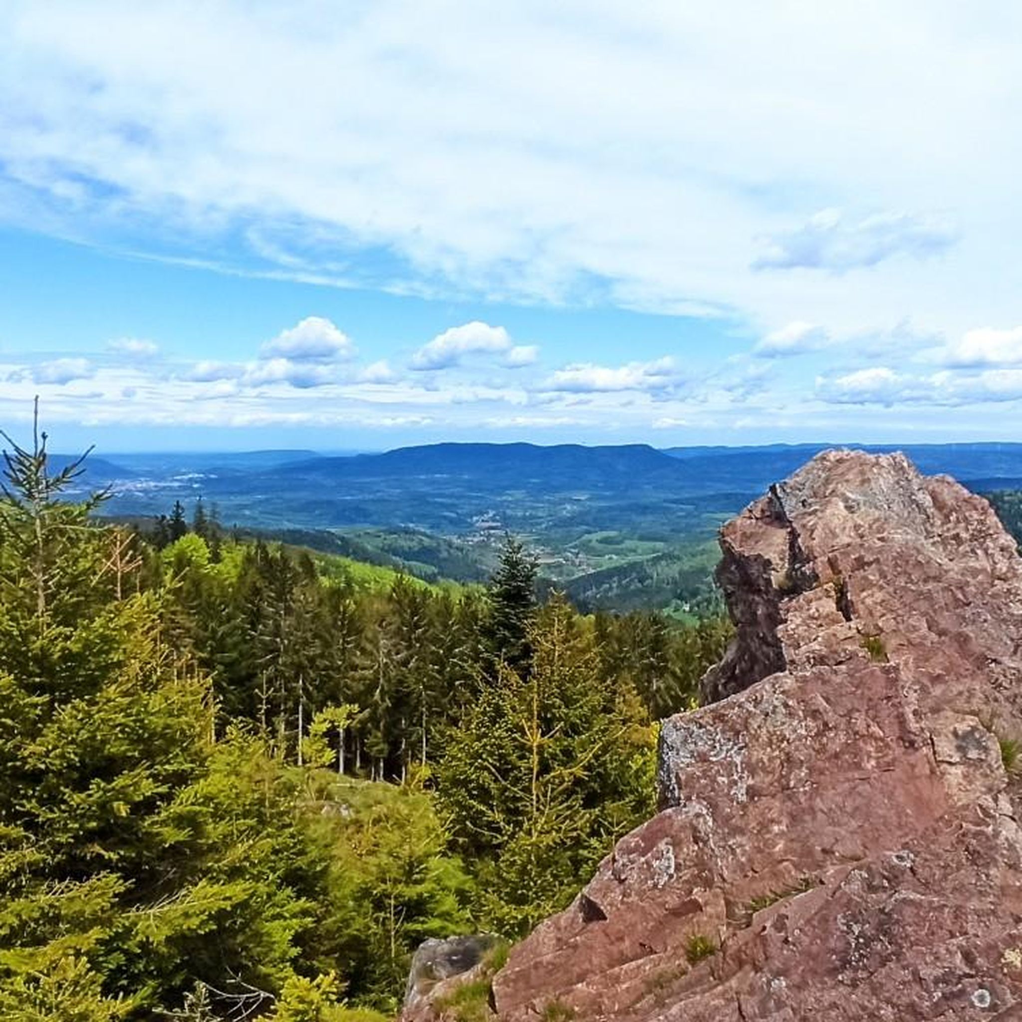
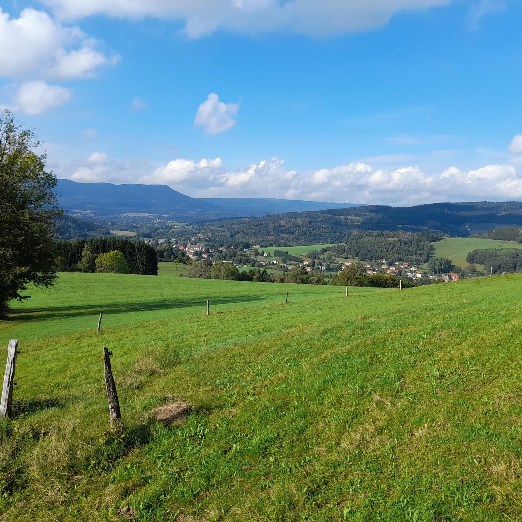
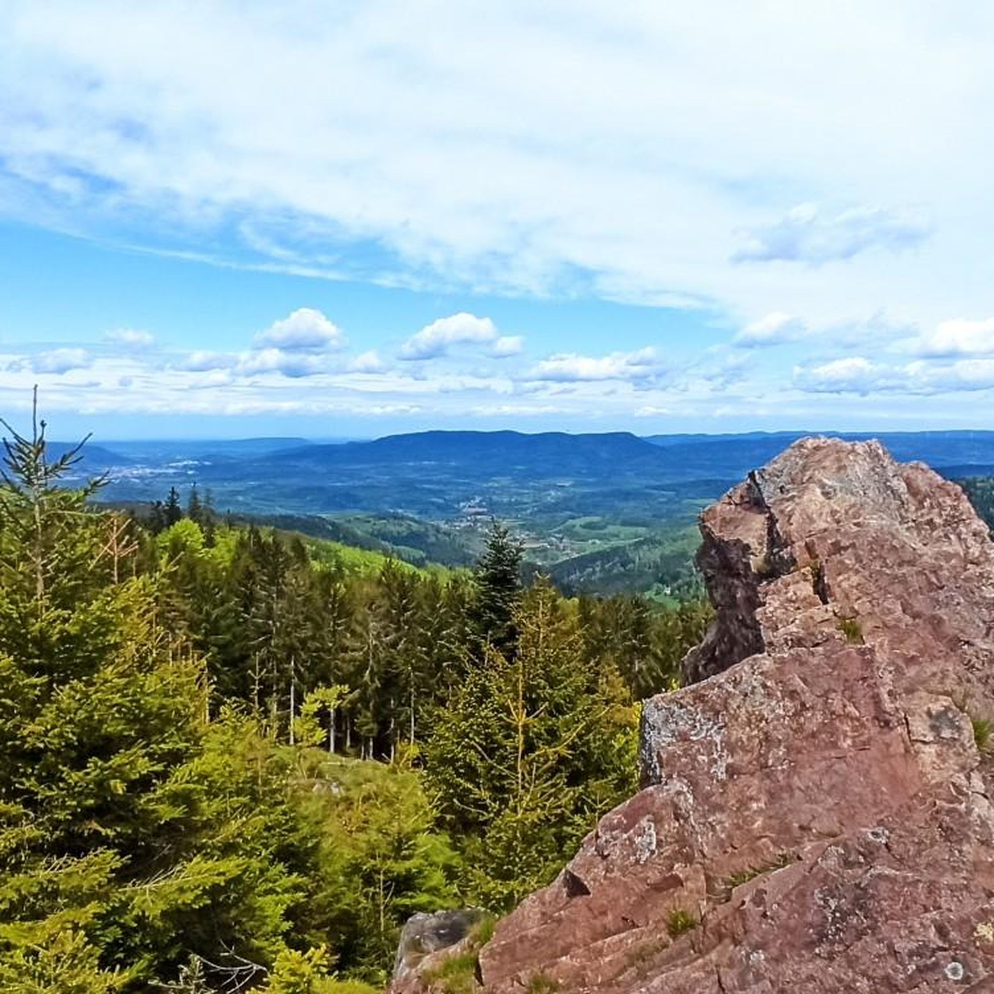
A stunning view of the Kaysersberg Valley—perfect for a short break and to enjoy the picturesque landscape with vineyards and half-timbered houses. A real highlight of this tour!
0
0
Frequently Asked Questions
What is the typical difficulty level of gravel bike trails around Ban-De-Laveline?
The region primarily offers challenging routes due to its mountainous Vosges terrain. There are 14 difficult routes and 5 moderate routes, making it more suitable for experienced riders seeking significant elevation changes and varied surfaces.
Are there any long-distance or circular gravel bike routes available?
Yes, many routes are designed as loops. For a longer, challenging ride, consider the Bikepark Lac Blanc – Route des Crêtes loop from Col du Bonhomme, which covers 27.6 miles (44.4 km) through mountain passes. Another option is the Riquewihr Vineyards – Bagenelles Pass loop from Le Bonhomme, spanning 48.2 km with significant elevation.
Are there any family-friendly gravel biking options in the area?
While most routes are rated moderate to difficult due to the mountainous terrain, some sections might be suitable for families with older, experienced children. The area is characterized by sustained climbs and descents, so riders should be prepared for physical exertion. Always check the route details for elevation profiles before heading out with family.
What kind of natural attractions can I expect to see along the gravel bike trails?
The routes often pass by beautiful natural landmarks. You might encounter the serene Lac Blanc or the mysterious Black Lake. For stunning panoramic views, look out for spots like Hautes Chaumes Near Lac Blanc or the summit of Gazon du Faing.
What is the best time of year for gravel biking around Ban-De-Laveline?
The mountainous terrain of the Vosges means that spring through autumn generally offers the most favorable conditions. Summers provide pleasant temperatures for riding through dense forests and along passes. Winters can bring snow and ice, making many trails challenging or impassable for gravel biking, especially at higher elevations.
Are there any routes that offer vineyard views?
Yes, the region is known for its diverse landscapes, including vineyards. The Riquewihr Vineyards – Bagenelles Pass loop from Le Bonhomme is one such route that will take you through or near the picturesque vineyards, offering a different scenic experience compared to the dense forests and mountain passes.
What do other gravel bikers enjoy the most about gravel biking in Ban-De-Laveline?
The area is highly rated by the komoot community, with an average score of 5.0 stars from more than 4 reviews. Riders often praise the varied terrain, the challenge of the mountain passes, and the scenic beauty of the Vosges forests and lakes. The network offers a good mix for both moderate and advanced gravel cyclists.
Are there any routes that specifically feature the Route des Crêtes?
Yes, the Bikepark Lac Blanc – Route des Crêtes loop from Col du Bonhomme is a notable route that leads through mountain passes and along sections of the famous Route des Crêtes, offering spectacular views and a challenging ride.
Can I find routes that explore the area around Lac Blanc?
Absolutely. The Bikepark Lac Blanc – Lac Blanc loop from Rocher Hans is a popular difficult route that features significant elevation gain around the beautiful Lac Blanc, providing both a physical challenge and stunning scenery.
Are there any routes that offer views from the Haut de Ribeauvillé Pass?
Yes, the Haut de Ribeauvillé Pass – Haut de Ribeauvillé Pass loop from Zillardhof is a difficult 15.8-mile (25.5 km) path that navigates through forests and provides excellent views from the Haut de Ribeauvillé Pass itself.
How many gravel bike trails are available in total around Ban-De-Laveline?
There are 19 gravel bike trails available around Ban-De-Laveline, offering a wide range of options for different skill levels, though the majority are rated as difficult.
Most popular routes around Ban-De-Laveline
Most popular attractions around Ban-De-Laveline

Get inspired with the komoot mobile app


Explore more
Browse the best Gravel rides in other regions.
