The best cycling routes around Ban-De-Laveline
4.4
(372)
3,672
riders
266
rides
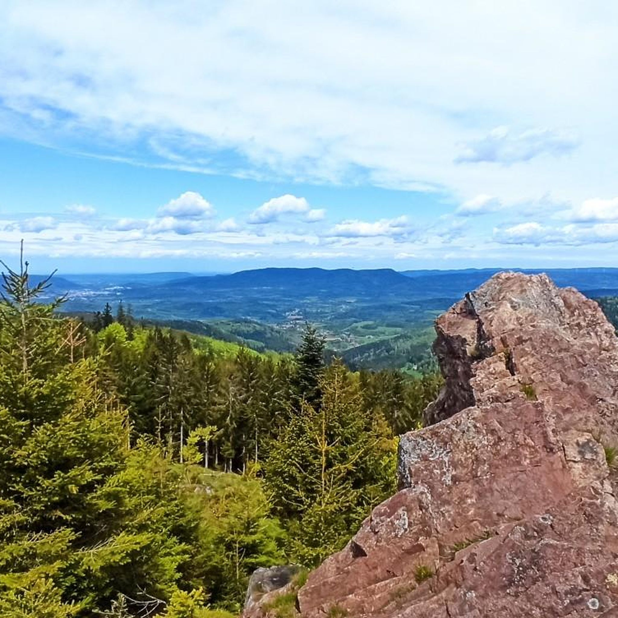
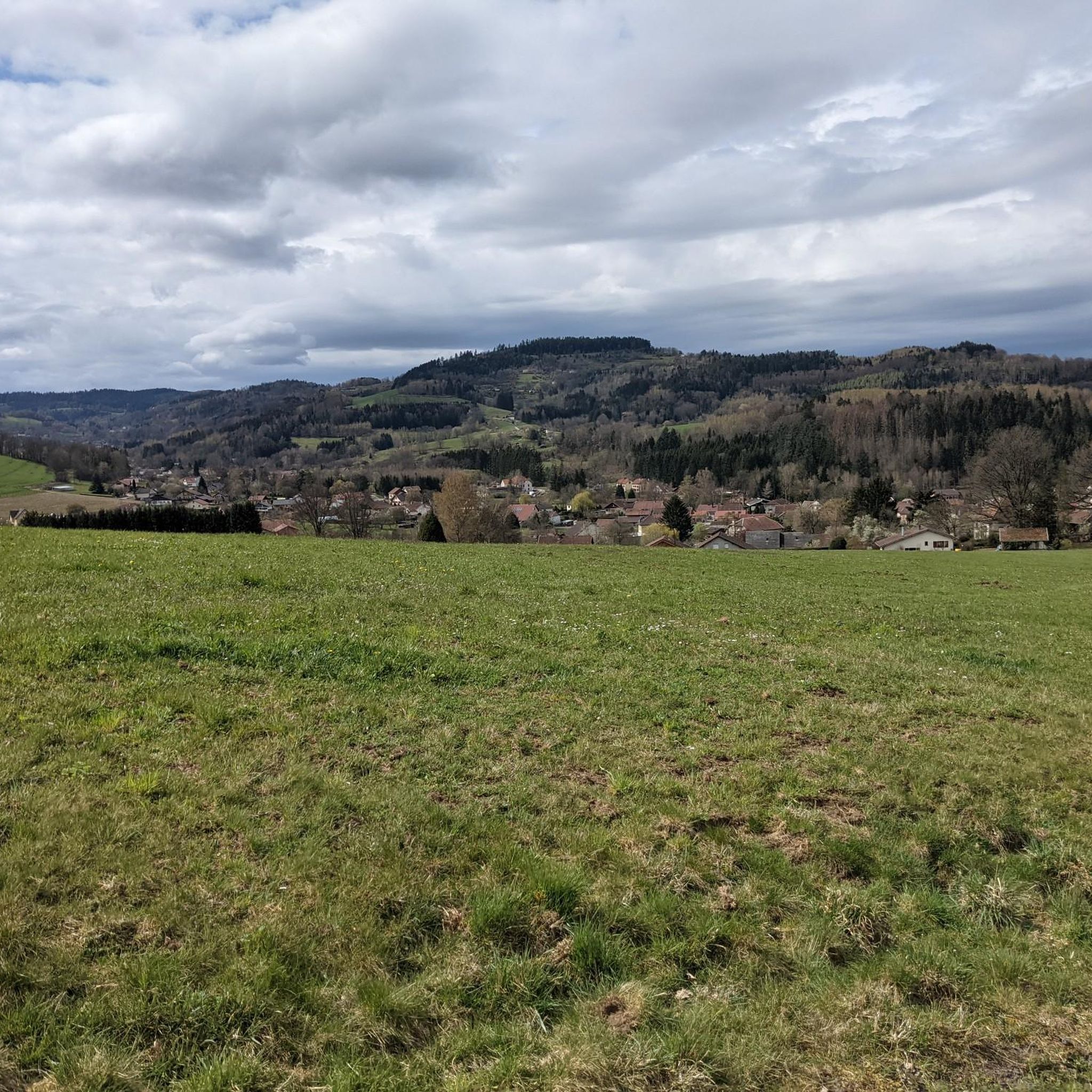
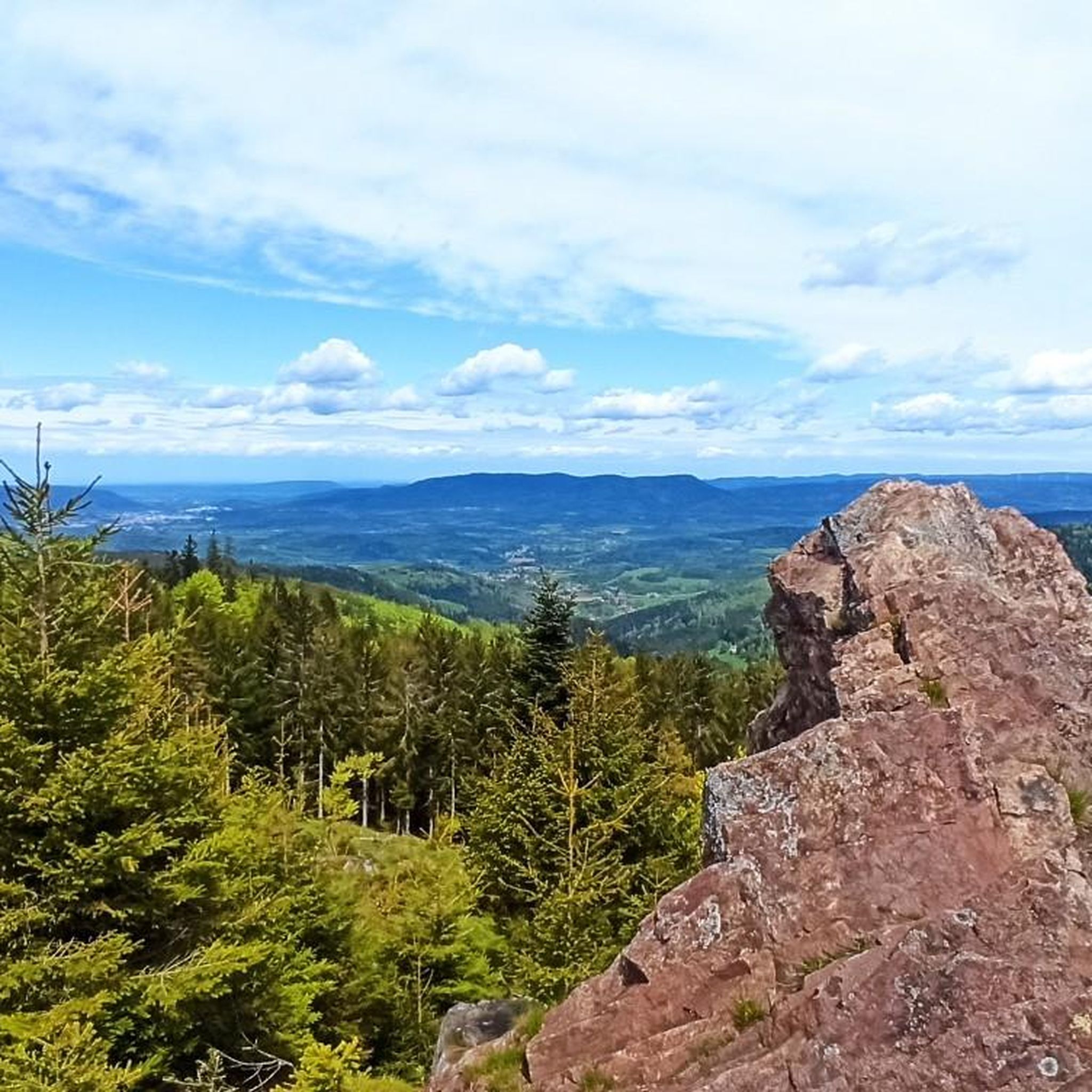
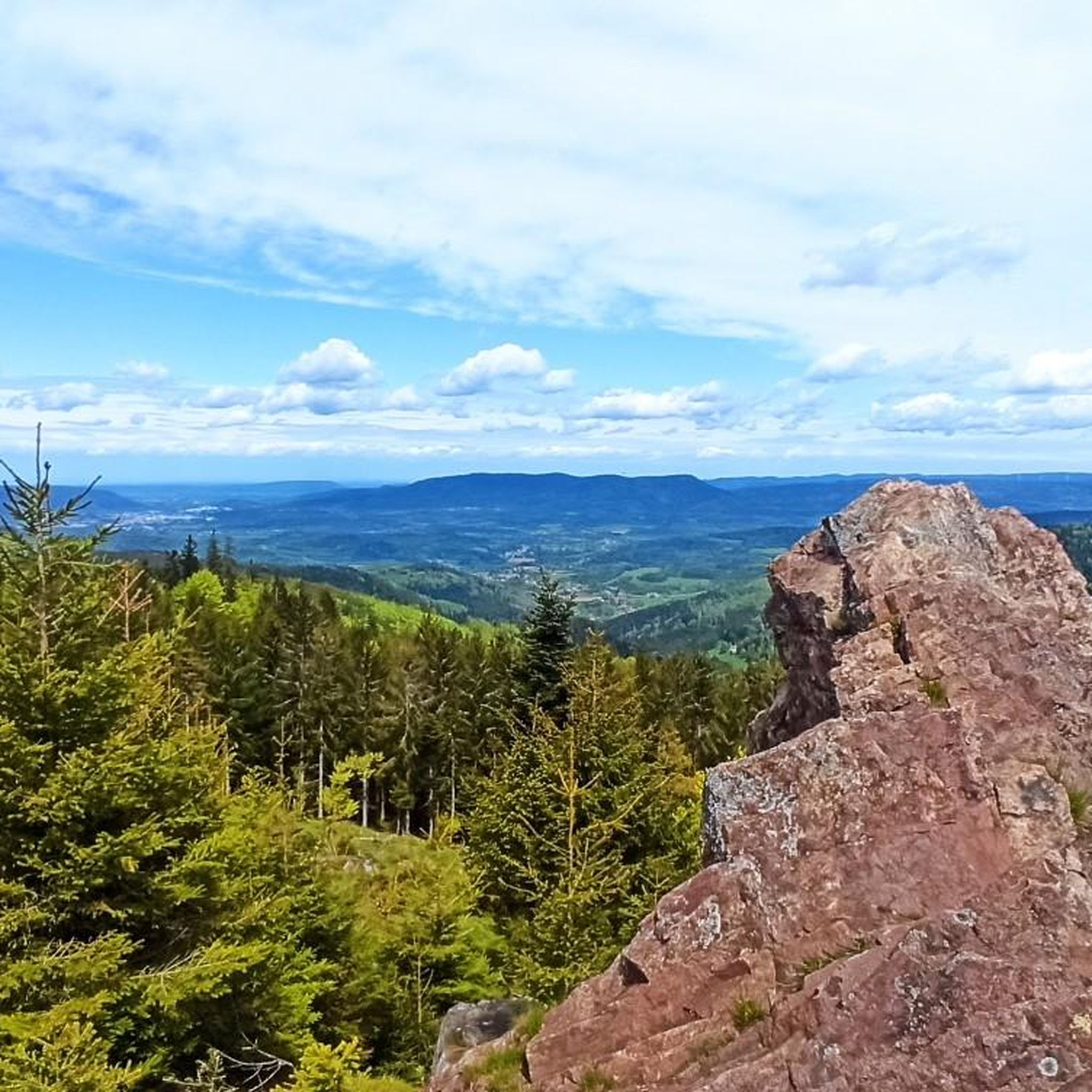
Touring cycling routes around Ban-De-Laveline are situated in the Piedmont region of the Vosges Mountains, offering a protected natural environment for cyclists. The area features varied terrain, including dense forests, high-altitude meadows, and challenging mountain passes. This landscape provides diverse cycling opportunities, from gradual ascents to more demanding climbs within the Vosges massif.
Best touring cycling routes around Ban-De-Laveline
- The most popular touring cycling route is Loop of the Vosges trails — Parc Naturel Régional des Ballons des Vosges,…
Last updated: July 1, 2026
10
riders
38.5km
03:05
1,010m
1,010m
Hard bike ride. Very good fitness required. Mostly paved surfaces. Suitable for all skill levels.
4.6
(5)
49
riders
27.3km
01:39
210m
210m
Moderate bike ride. Good fitness required. Mostly paved surfaces. Suitable for all skill levels.

Sign up for free
4.5
(2)
22
riders
25.2km
01:55
640m
640m
Hard bike ride. Very good fitness required. Mostly paved surfaces. Suitable for all skill levels.
5.0
(1)
19
riders
101km
07:17
2,120m
2,120m
Hard bike ride. Very good fitness required. You may need to push your bike for some segments of this route.
5.0
(1)
13
riders
17.6km
01:20
430m
430m
Moderate bike ride. Good fitness required. Mostly paved surfaces. Suitable for all skill levels.
Get access to more routes and recommendations from other explorers.
Sign up for free
Already have an account?
Our route recommendations are based on thousands of hikes, rides, and runs completed by other people on komoot.
Start today with a free account
Your next adventure awaits.
Login or Signup


Tips from the Community


If you take the climb from Mandray village - and follow the - rusty - sign to the Col - that is different kind of cookie! 2, 9 km , averages at 11% with peaks up to 17%, and tough road conditions. Descend to Fraize is a blast!
0
0

From here, you have a truly magnificent view and can reward yourself with a light meal at the summit restaurant. Unfortunately, the hotel at the summit is currently closed. (For about a year.) As of September 2025
0
0

The Col du Louchpach (978 m) is a lesser-known but charming mountain pass in the Vosges, located along the Route des Crêtes. The climb is relatively short but tough, and leads through a quiet, wooded area with little traffic – ideal for cyclists who want to avoid the crowds of the larger cols. The pass forms a beautiful connection between the Meurthe and Weiss valleys and is often part of longer tours towards Lac Blanc or the Col du Calvaire. The ascent via the Rudlin road is particularly atmospheric: narrow, shady and with an authentic mountain feel.
7
0
Col de Mandray (694 m) is a quiet and steady climb in the Vosges, ideal for a relaxing ride or as a warm-up for more difficult cols. From Fraize you climb over 4.5 km with an average gradient of 4.2%. The road is well passable, with little traffic and beautiful views over the Meurthe valley. A hidden gem for those who love quiet, natural climbs.
11
0

The Col du Louchpach, or Louchbach, or Louschbach (978 m) is a rather inconspicuous Vosges mountain pass that, like many other passes in the Vosges Mountains, would have gone unnoticed if it weren't for the signpost. It is located in the northern section of the Route des Crêtes on the D148, about 3.5 km from the higher mountain lake Lac Blanc. There is a stand on the pass road where cheese is occasionally sold.
0
0

If you are coming from the direction of the Col de Bonhomme or the Route de Cretes, this is the best alternative to the busy yellow road. Going the other way... phew 😁
0
0
Instead of driving down the Col de Bonhomme on the yellow road, there is an option to drive into the "forest" further up the Route de Cretes in the bend. You drive on tarred roads through the forest to the Col de Mandray. Simply great...
0
0
Frequently Asked Questions
How many touring cycling routes are available around Ban-De-Laveline?
There are over 260 touring cycling routes in the Ban-De-Laveline area. These routes cater to various skill levels, with 29 easy, 76 moderate, and 158 difficult options, offering diverse terrain from gentle slopes to challenging mountain passes.
What kind of terrain can I expect on touring cycling routes in Ban-De-Laveline?
The terrain around Ban-De-Laveline is highly varied, situated within the Vosges Mountains. You can expect routes that alternate between dense forests and expansive high-altitude meadows, offering beautiful panoramic views. Many routes feature challenging climbs and descents, characteristic of a region known for its mountain passes.
Are there any family-friendly cycling routes in Ban-De-Laveline?
Yes, the region offers options suitable for families. While many routes involve mountain terrain, there are 29 easy routes available. The broader Vosges Mountains also feature numerous bike lanes and greenways designed for more leisurely rides, making it possible to find suitable paths for family outings.
Can I bring my dog on the cycling trails in Ban-De-Laveline?
The Vosges Mountains, including the area around Ban-De-Laveline, are generally welcoming to dogs. However, regulations can vary depending on specific trails or protected natural areas. It's always best to keep your dog on a leash, especially in forested areas or near wildlife, and ensure they are fit enough for the chosen route.
What are some scenic viewpoints or natural attractions I can visit while cycling?
Many routes offer stunning views of the plain of Alsace and the wider Vosges massif. You can also cycle towards notable peaks like Gazon du Faing or Belmont observatorium Viewpoint. The region is also home to picturesque lakes such as Lac Blanc and Black Lake, which offer beautiful surroundings.
Are there any circular touring cycling routes available?
Yes, many touring cycling routes in Ban-De-Laveline are designed as loops. For example, the difficult Loop of the Vosges trails — Parc Naturel Régional des Ballons des Vosges and the moderate Col du Bonhomme – Bagenelles Pass loop from Col des Bagenelles are popular circular options, allowing you to start and finish at the same point.
What is the best season for touring cycling in Ban-De-Laveline?
The best season for touring cycling in Ban-De-Laveline is typically from spring to autumn. During these months, the weather is generally milder, and the mountain passes are clear of snow. Summer offers lush landscapes, while spring and autumn provide vibrant colors and fewer crowds. Winter cycling is possible but requires appropriate gear and caution due to potential snow and ice.
Are there places to eat or stay along the cycling routes?
Ban-De-Laveline and the surrounding Alsatian villages like Kaysersberg, Riquewihr, and Eguisheim offer various accommodation and dining options. Many routes pass through or near these charming villages, providing opportunities for breaks, meals, and overnight stays. It's advisable to check specific route details for amenities directly on the trail.
What do other touring cyclists say about the routes in Ban-De-Laveline?
The touring cycling routes around Ban-De-Laveline are highly rated by the komoot community, with an average score of 4.4 stars from over 300 reviews. Cyclists often praise the diverse terrain, the challenging climbs, and the stunning panoramic views of the Vosges Mountains and the plain of Alsace.
Are there any particularly challenging routes for experienced touring cyclists?
Yes, the region is known for its challenging routes, many of which feature significant elevation changes and mountain passes. Examples include the difficult View of the Vallée du Bonhomme – Col de Mandray loop from Raves, which covers 58.2 km with over 1300 meters of ascent, and the extensive Bagenelles Pass – Col de la Schlucht loop from Échery, spanning over 100 km.
Is bike rental available in Ban-De-Laveline or nearby?
Bike and protective equipment rentals are available in the wider Vosges area. Additionally, the region supports e-bike users with a network of 80 charging stations, making it convenient to explore the diverse terrain even with an electric bike.
How can I find parking or access routes via public transport?
While Ban-De-Laveline offers basic services, specific parking information for trailheads can vary by route. For public transport, the Vosges region has some options, but it's best to research specific routes and their proximity to bus stops or train stations. Many routes are accessible by car, with parking often available in villages or designated areas near trail starts.
Most popular routes around Ban-De-Laveline
Most popular attractions around Ban-De-Laveline

Get inspired with the komoot mobile app


Explore more
Browse the best Cycling routes in other regions.
