The best gravel rides around Flaxlanden
4.4
(30)
132
riders
85
rides
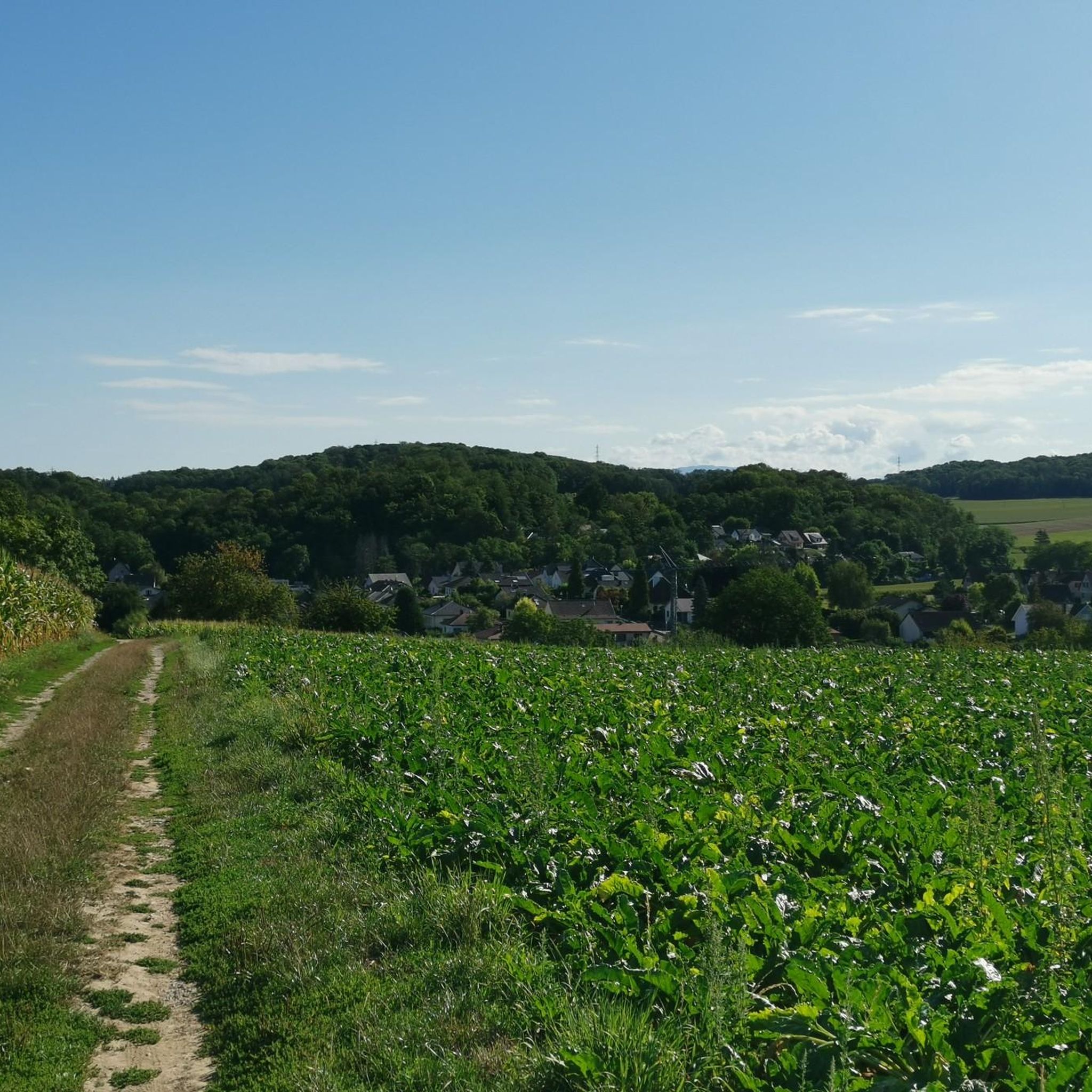
Gravel biking around Flaxlanden offers a diverse landscape for riders. The region features a mix of woodlands, open fields, and areas influenced by water bodies like canals and small lakes. Riders can expect varied terrain with moderate elevation changes, providing a range of experiences from flatter sections to more challenging climbs. The area provides a network of gravel bike trails suitable for different skill levels.
Best gravel bike trails around Flaxlanden
- The most popular gravel bike trail is Nice trailhead…
Last updated: July 3, 2026
4.8
(4)
12
riders
47.1km
03:43
640m
640m
Hard gravel ride. Very good fitness required. Mostly paved surfaces. Suitable for all skill levels.
4.3
(3)
13
riders
82.8km
05:11
730m
730m
Hard gravel ride. Very good fitness required. Mostly paved surfaces. Suitable for all skill levels.

Sign up for free
3.0
(1)
11
riders
46.0km
02:50
460m
450m
Hard gravel ride. Very good fitness required. Mostly paved surfaces. Suitable for all skill levels.
4.7
(6)
13
riders
Moderate gravel ride. Good fitness required. Mostly paved surfaces. Suitable for all skill levels.
9
riders
31.2km
02:16
120m
120m
Moderate gravel ride. Good fitness required. Mostly paved surfaces. Suitable for all skill levels.
Get access to more routes and recommendations from other explorers.
Sign up for free
Already have an account?
Our route recommendations are based on thousands of hikes, rides, and runs completed by other people on komoot.
Start today with a free account
Your next adventure awaits.
Login or Signup
Tips from the Community

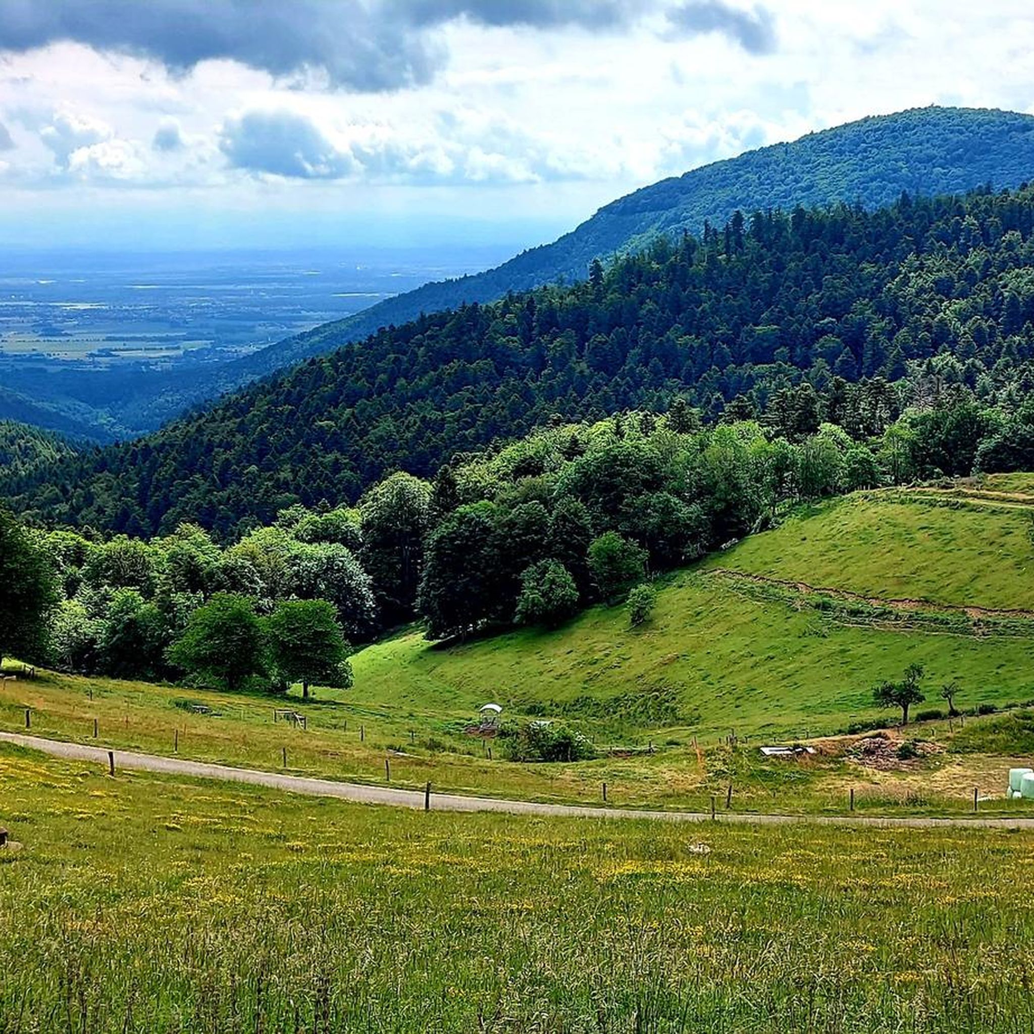
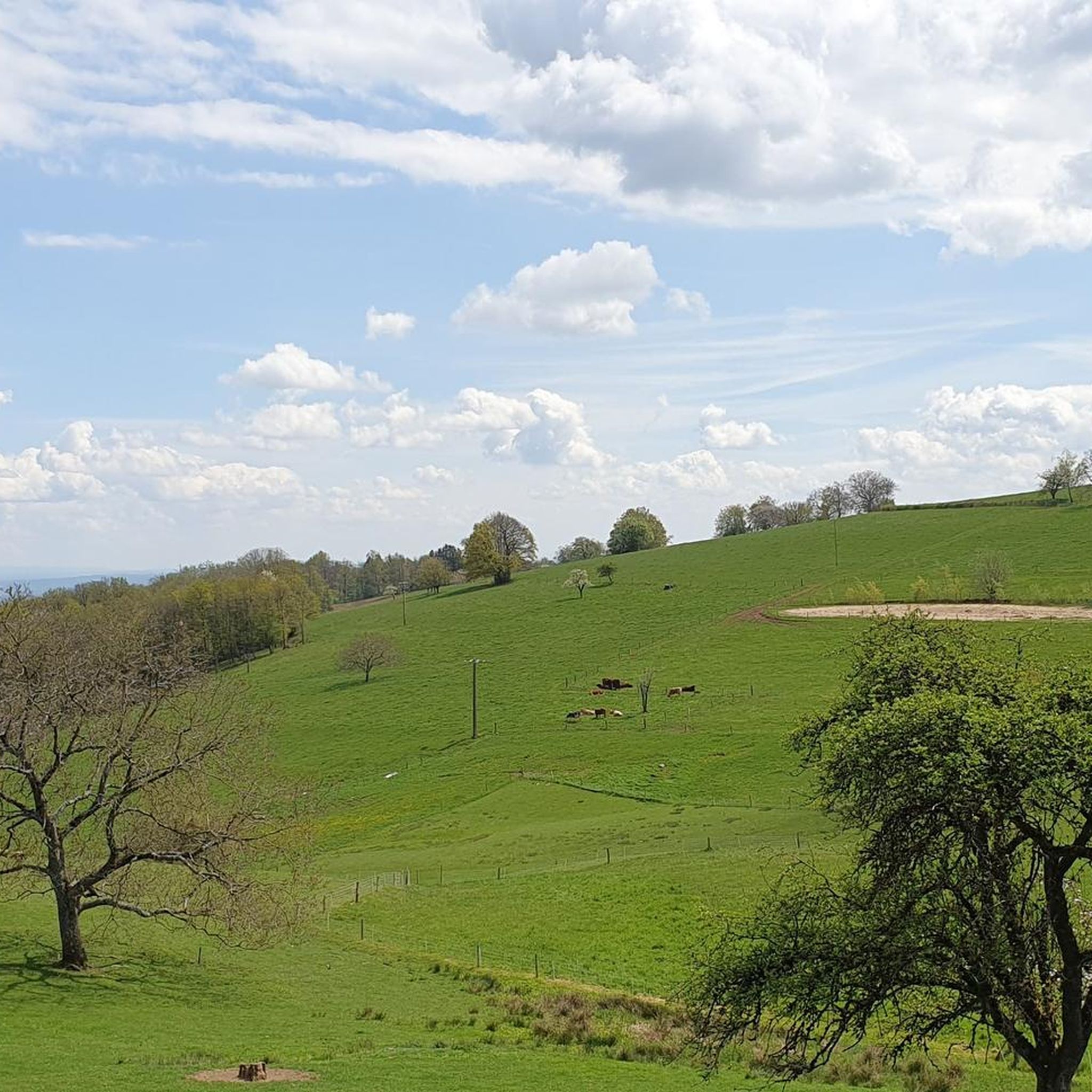
Beautiful spot in the vast hills overlooking Habsheim
0
0

The World War I Bunker Trail in Burnhaupt-le-Bas On the Bunker Trail, you can discover World War I fortifications built by the German army. After the fighting in the summer and autumn of 1914, the front in Upper Alsace stabilized on the Cernay-Dannemarie line. The municipal district of Burnhaupt-le-Bas remained on the German side. In December 1914 and January 1915, French offensives in this sector regularly clashed with the German lines. Numerous bunkers, command posts, and artillery posts. The tour can be done by mountain bike or on foot (hiking boots).
0
0

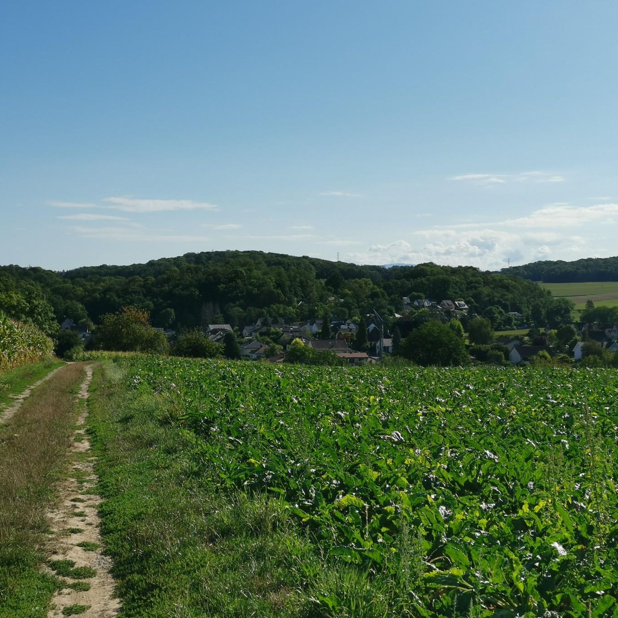
Beautiful surroundings on the canal.
0
0

You don't even notice that you're cycling through a big city. Absolutely fantastic. Thanks, Mulhouse!
0
0

A few more photos and texts can be found in the corresponding hiking highlight in the komoot system, under the title "Chapelle Notre-Dame-des-Neiges" it can be reached with the following link =>>https://www.komoot.com/de-de/highlight/3297592
0
0
Many churches in France, including this chapel, are dedicated to the Virgin Mary under the widely used title "Notre-Dame" (in German: "Our Dear Lady"). A brief thought on the Mother of God from Albino Luciani (Pope John Paul I): "Mary is indeed our sister, as Saint Ambrose says. She led a life very similar to ours. It is of course beautiful to venerate Mary as the Virgin and Mother of God, as the one conceived immaculately by original sin and taken up into heaven; but she is also the Madonna of plates, brooms and cooking pots..." The visitor to the small Marian shrine can decide for himself which "Notre-Dame" he would like to venerate here.
0
0

In the south of Mulhouse, coming from rue de Folgensbourg, a path starts here to go into the forest and have fun on a playful terrain allowing you to vary the single tracks.
1
0
A lovely cycle path follows the course of the Thur. Here, a path leads right up to the water, offering you a pleasant stopover with the sound of the river.
0
0
Frequently Asked Questions
How many gravel bike trails are available around Flaxlanden?
Flaxlanden offers nearly 100 gravel bike trails, catering to various skill levels. You'll find 6 easy routes, 51 moderate, and 38 difficult options, ensuring there's something for everyone.
Are there gravel bike trails suitable for beginners in Flaxlanden?
Yes, Flaxlanden has 6 easy gravel bike routes. A good option for beginners is the Blue drawbridge Zillisheim – Brunstatt lock loop from Mulhouse-Ville, which is 30.6 km long and follows canal paths with minimal elevation, making it a less strenuous ride.
What kind of terrain can I expect on gravel bike trails near Flaxlanden?
The region features a diverse landscape, including woodlands, open fields, and areas influenced by water bodies like canals. You can expect varied terrain with moderate elevation changes, offering a mix of flatter sections and more challenging climbs.
Are there any long-distance or advanced gravel routes in the area?
Yes, for experienced riders seeking a challenge, there are 38 difficult routes. One notable option is The Sundgau ponds – Grand Cannon of Zillisheim loop from Illfurth, which spans over 100 km and features significant elevation gain.
What are some scenic viewpoints or interesting landmarks along the gravel trails?
Many routes offer scenic views of the surrounding countryside and pass by historical points of interest. You might encounter highlights such as the Zillisheim Drawbridge and Lock No. 35, the Grand Cannon of Zillisheim, or sections along the Rhône–Rhine Canal.
Are there any circular gravel bike routes around Flaxlanden?
Yes, many of the gravel routes in Flaxlanden are designed as loops, allowing you to start and finish at the same point. For example, the Gravel or dirt path – Stetten loop from Rantzwiller is a challenging 46.5 km circular route.
What do other gravel bikers enjoy most about riding in Flaxlanden?
The area is highly rated by the komoot community, with an average score of 4.2 stars from over 20 reviews. Riders often praise the diverse terrain, the mix of woodlands and canal paths, and the options available for different skill levels.
What is the best time of year for gravel biking in Flaxlanden?
Spring and autumn generally offer the most pleasant conditions for gravel biking in Flaxlanden, with milder temperatures and beautiful scenery. Summer can also be enjoyable, especially on shaded woodland paths, but be prepared for warmer weather. Winter riding is possible, but some paths might be muddy or icy.
Are there any less crowded gravel bike routes for a more tranquil experience?
While specific crowd levels vary, exploring routes that venture deeper into the woodlands or along less-trafficked canal sections can offer a more peaceful ride. Consider exploring some of the moderate or difficult routes, as they tend to be less frequented than the most popular easy paths.
What should I wear for gravel biking in Flaxlanden?
Given the varied terrain and potential for changing weather, it's advisable to wear layers. Padded shorts are recommended for comfort, and sturdy cycling shoes are essential. Always carry rain gear, even on clear days, and consider gloves for grip and protection. A helmet is, of course, mandatory.
Are there options for family-friendly gravel cycling in Flaxlanden?
Yes, the easier routes, particularly those along the canal paths, are generally suitable for families. These paths often have less elevation gain and smoother surfaces. Always check the route details on komoot for specific difficulty and terrain information to ensure it matches your family's abilities.
Are there cafes or places to stop for refreshments along the gravel trails?
While specific cafes directly on every trail are not guaranteed, many routes pass through or near villages and towns where you can find places to refuel. It's always a good idea to plan your route and check for amenities beforehand, or pack sufficient snacks and water.
Most popular routes around Flaxlanden
Most popular attractions around Flaxlanden

Get inspired with the komoot mobile app


Explore more
Browse the best Gravel rides in other regions.
