The best gravel rides around Bard
4.6
(10)
54
riders
11
rides
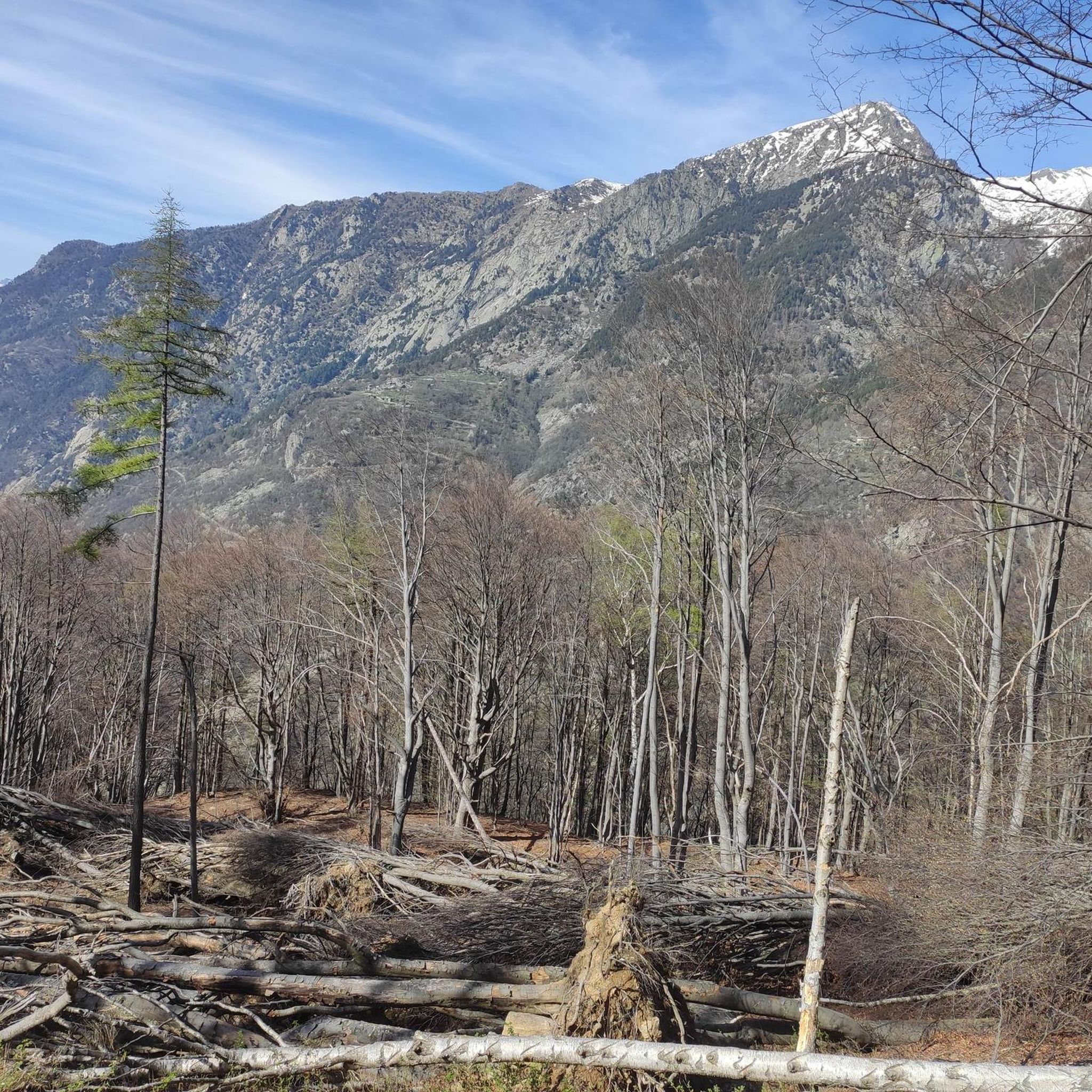
Gravel biking around Bard offers routes through a landscape characterized by the Aosta Valley's dramatic topography. The region features river valleys, forested slopes, and views of the surrounding mountains. Riders can expect a mix of unpaved roads and trails that traverse both natural and cultivated environments, including climbs through historic areas. This varied terrain provides diverse conditions for gravel cyclists.
Best gravel bike trails around Bard
- The most popular gravel bike trail is Valle di Champorcher Cycle Route, a…
Last updated: July 4, 2026
23.0km
04:40
1,920m
110m
Hard gravel ride. Very good fitness required. You may need to push your bike for some segments of this route.
25.0km
02:25
830m
830m
Hard gravel ride. Very good fitness required. Mostly paved surfaces. Suitable for all skill levels.

Sign up for free
11
riders
Moderate gravel ride. Good fitness required. Mostly paved surfaces. Suitable for all skill levels.
4.9
(7)
9
riders
69.0km
05:49
2,320m
2,320m
Hard gravel ride. Very good fitness required. Mostly paved surfaces. Suitable for all skill levels.
4.3
(3)
13
riders
27.1km
02:16
870m
870m
Hard gravel ride. Very good fitness required. Mostly paved surfaces. Suitable for all skill levels.
Get access to more routes and recommendations from other explorers.
Sign up for free
Already have an account?
Our route recommendations are based on thousands of hikes, rides, and runs completed by other people on komoot.
Start today with a free account
Your next adventure awaits.
Login or Signup
Tips from the Community


The Castello di Suzey stands on an inaccessible rocky spur, in a position that in the 14th century guaranteed absolute control over the transit of the Lys valley. The structure is a classic example of a medieval enclosure castle, dominated by a massive quadrangular tower and surrounded by the remains of a fortified village now swallowed by vegetation. This stronghold was the headquarters of the lords of Suzey, a branch of the Vallaise known for their bellicose nature and independence from central powers. A famous anecdote concerns the family's determination to defend their privileges: it is said that the lords of Suzey imposed such severe transit taxes that they sparked fierce disputes with merchants and neighboring communities, turning the castle into a sort of armed customs post. A local legend also tells that the castle was connected to the other Vallaise properties in Perloz via a network of secret passages dug directly into the rock, used to move troops and riches away from prying eyes during sieges. Another popular tale describes the castle's end as a dramatic event: a devastating fire, which broke out during an enemy attack, would have marked the definitive abandonment of the structure.
0
0
The village is situated on a natural terrace offering a panoramic view of the Lys valley. An e-bike charging station is available.
0
0
The stone bridge of Lillianes, completed in 1733, represents a hydraulic work of exceptional value for the Lys Valley, being the only historic bridge in the region structured on four round arches. The choice of this configuration, supported by robust piers equipped with cut-water spurs, was dictated by the need to span a section of the Lys stream particularly subject to violent floods. The roadway, made with a characteristic donkey-back shape in local stone, hosts a votive shrine dedicated to Saint Roch in the center, historically placed to protect travelers against pestilences. A relevant anecdote concerns the complex financing of the work: the local community, in order not to depend exclusively on central subsidies, chose to heavily tax themselves through the "taglioni" system, a form of mandatory contribution based on land ownership. It is said that the families of the village contributed not only with money but also by providing labor and materials, as the bridge was considered vital for the economy linked to the chestnut trade and transhumance. Another curious detail concerns its incredible resistance: during past floods, while other wooden or lighter structures were swept away, the bridge of Lillianes remained intact, consolidating its fame as an indestructible monument and a symbol of unity for the entire valley population.
0
0

The Arlaz Waterfall can be reached either from the Col d'Arlaz or from the Orbeillaz car park, following path number 31 which runs alongside the Rû d’Arlaz, a 14th-century artificial canal that channels the water of the Evançon stream and carries it to the municipalities of Challand, Emarese and Montjovet.
0
0
From this point, you can enjoy a splendid view of Verrès Castle, an imposing 14th-century medieval fortress that dominates the valley and adds a fascinating historical touch to the surrounding landscape. Built by the Challant family for defensive and residential purposes, it is today one of the best-preserved medieval castles in the region.
2
0
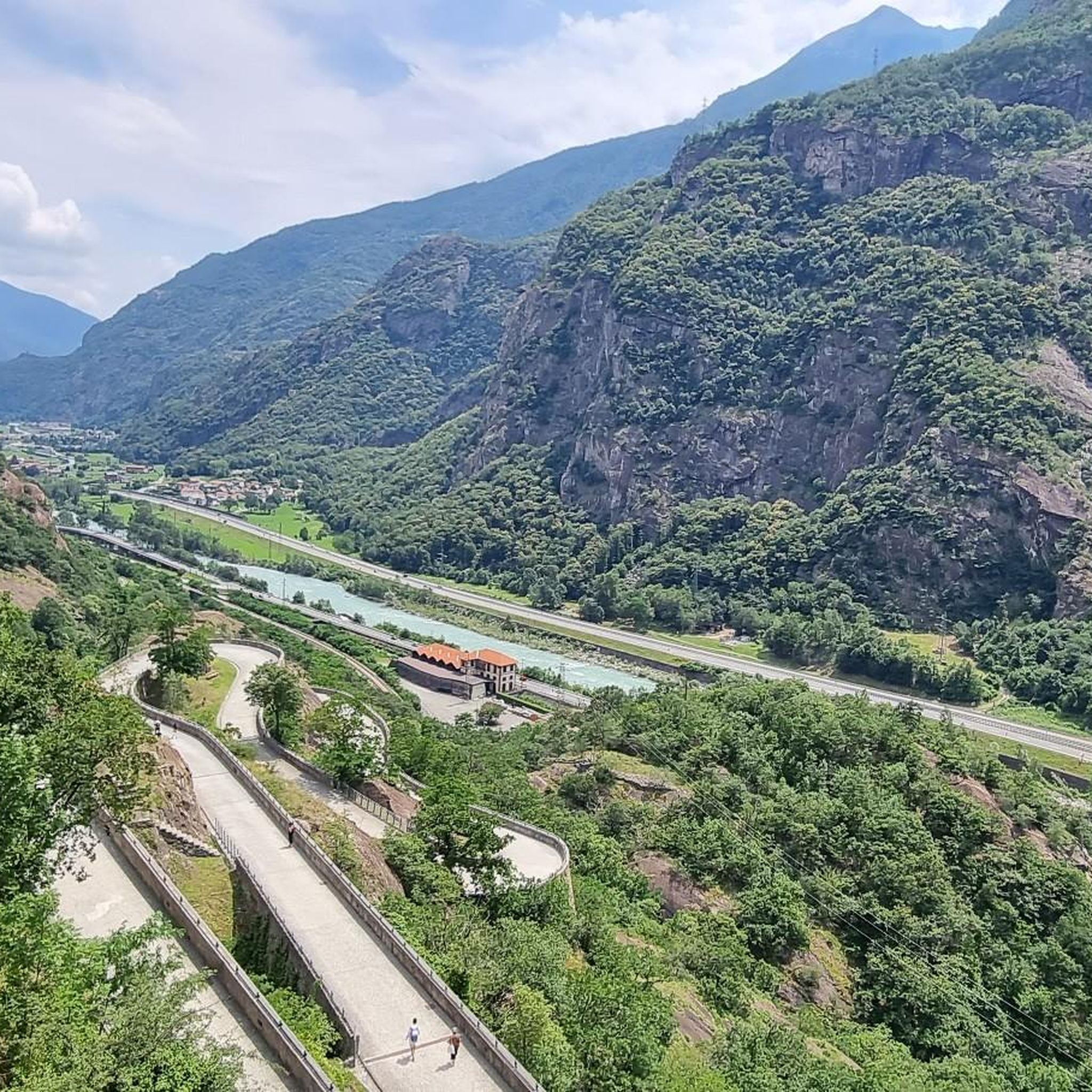
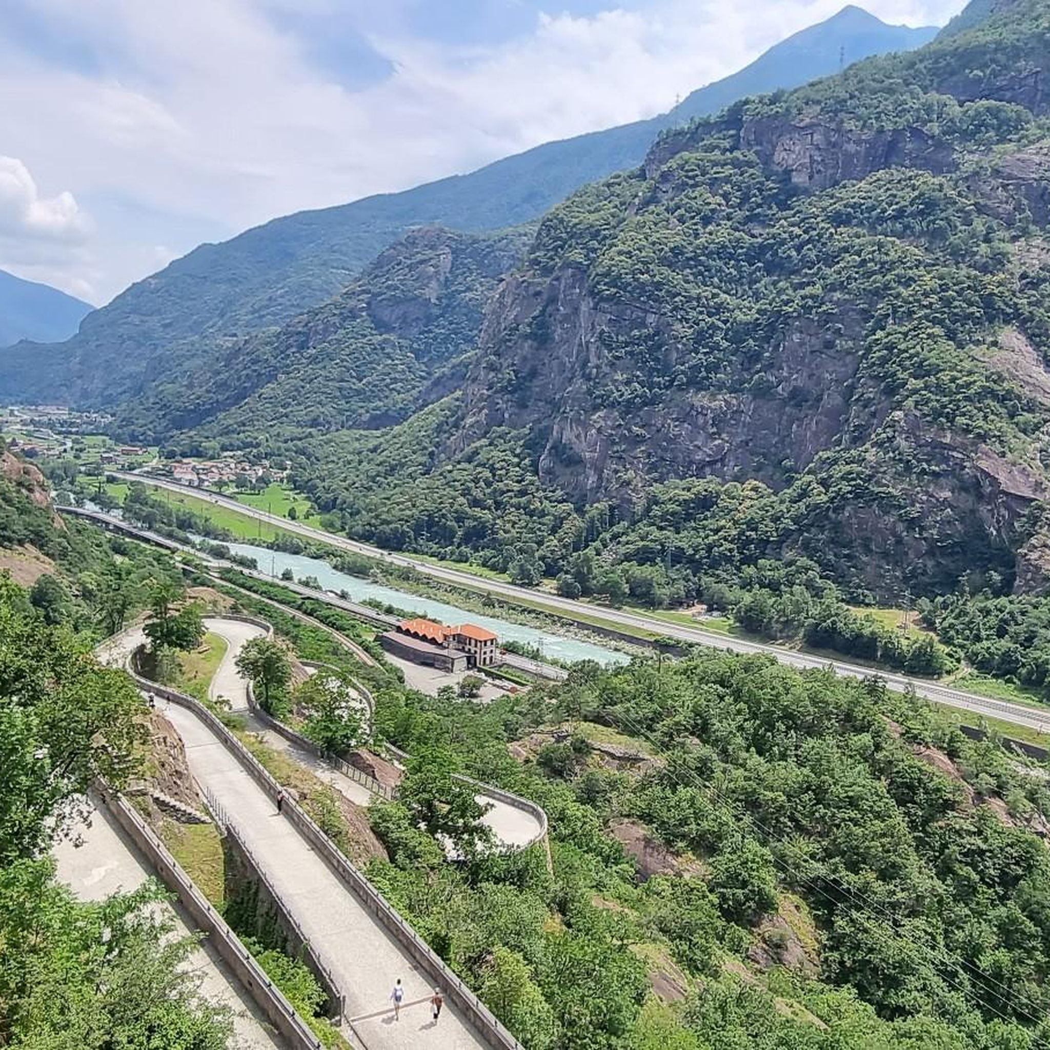
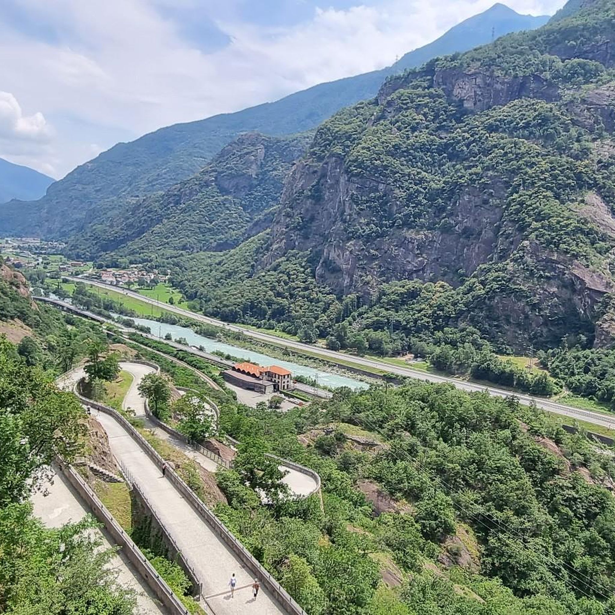
The Champrocher Royal Road is a charming historical route commissioned in the 18th century by the House of Savoy. It connected the valley floor with the hunting lodges, facilitating the travel of the nobility and their entourage. Today, it is a beautiful path immersed in greenery, with stone sections and splendid panoramic views of the valley.
2
0

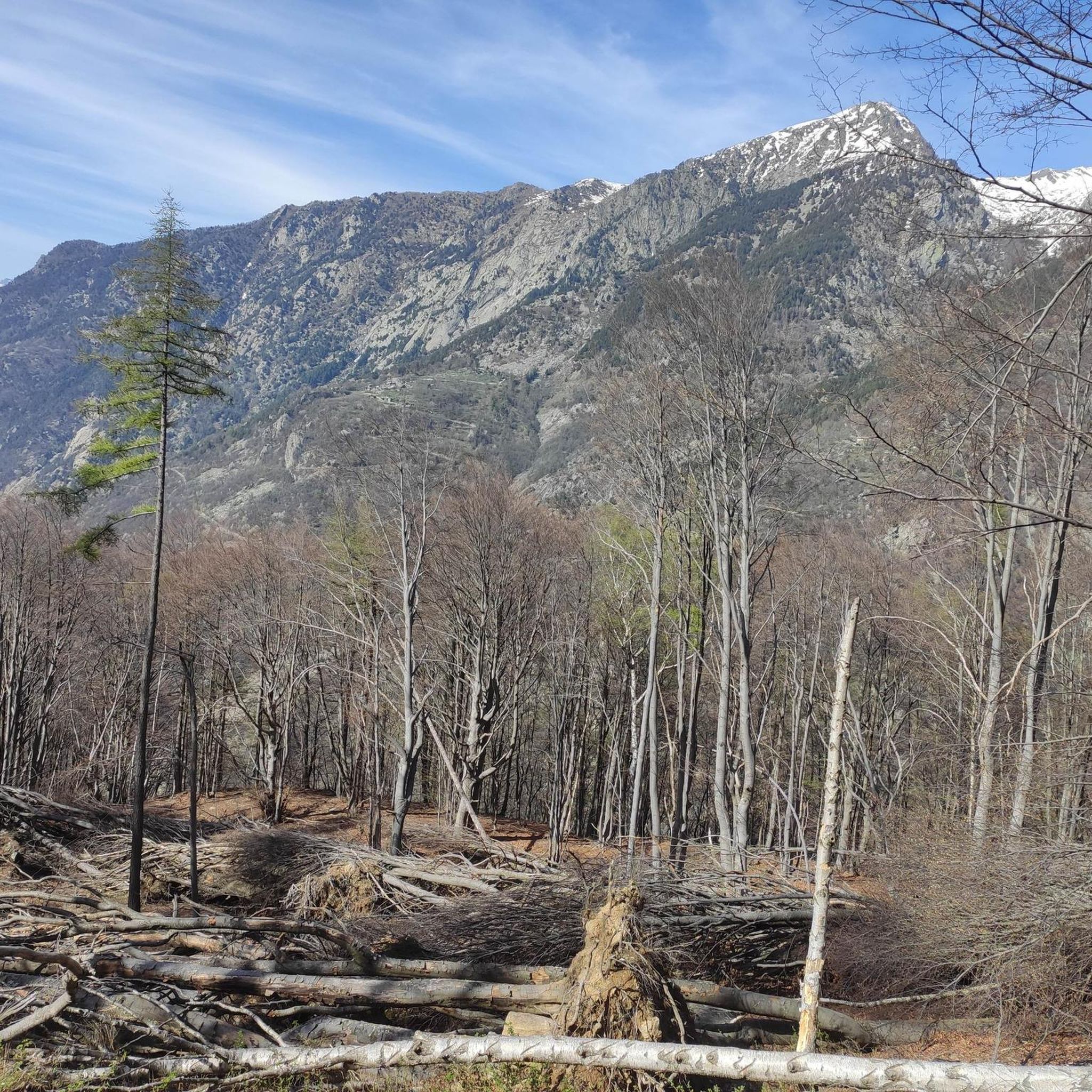
An ancient cemetery dating back to the Napoleonic era, abandoned in the 1940s. https://fondoambiente.it/luoghi/cimitero-del-fiorentino?ldc
0
0
Frequently Asked Questions
How many gravel bike trails are there in Bard?
Bard offers a diverse network of over 10 gravel bike trails, catering to various skill levels. While many routes present a challenge, there are also options for those seeking a more moderate ride through the Aosta Valley's scenic landscapes.
What is the best time of year for gravel biking in Bard?
The best time for gravel biking in Bard is typically from spring through autumn. During these seasons, the weather is generally mild, and the trails are clear of snow, offering ideal conditions to explore the river valleys, forested slopes, and mountain views of the Aosta Valley.
What are the difficulty levels of gravel bike trails in Bard?
Most gravel bike trails in Bard are rated as difficult, featuring significant elevation gains and varied terrain. However, there is at least one moderate route available, offering a less strenuous option for riders. Always check the route details before you go.
Are there any circular gravel bike routes in Bard?
Yes, Bard features several circular gravel bike routes. A popular option is the Col d'Arlaz loop, which offers panoramic views, and the Fort Bard – Fort Bard loop from Bard, which takes you through the historic Fort Bard area.
What landmarks or historical sites can I see while gravel biking in Bard?
Gravel biking in Bard allows you to explore several historical landmarks. You can ride past the impressive Fort Bard, a significant fortress. Other nearby historical sites include the Roman Arch and Road in Donnas and the Roman Bridge of Pont-Saint-Martin.
Are there any natural features or viewpoints along the gravel routes?
Absolutely. The routes often follow river valleys like the Dora Baltea, offering scenic riverside paths. You can also find viewpoints with stunning vistas of the surrounding mountains and the Aosta Valley. The Lake Ville is another natural highlight you might encounter.
Is there parking available near the gravel bike trails in Bard?
Parking is generally available in and around Bard, particularly near the town center and trailheads. Specific parking information for individual routes can often be found in the tour descriptions on komoot.
Can I reach the gravel bike trails in Bard by public transport?
Bard is accessible by public transport, primarily by train and bus services within the Aosta Valley. This allows cyclists to reach the starting points of many gravel routes without needing a car. We recommend checking local transport schedules for the most up-to-date information.
Are there places to eat or drink near the gravel bike trails in Bard?
Yes, Bard and the surrounding towns offer various cafes, restaurants, and pubs where you can refuel. Many routes pass through or near villages where you can find local eateries to enjoy traditional Aosta Valley cuisine and refreshments.
What do other gravel bikers say about the trails in Bard?
The gravel bike trails in Bard are highly rated by the komoot community, with an average score of 4.6 stars from over 10 reviews. Riders often praise the dramatic topography, the mix of unpaved roads and trails, and the stunning views of the Aosta Valley and its historic sites.
Are there any longer gravel routes for experienced riders in Bard?
For experienced riders seeking a longer challenge, the Lake Viverone – Lake Viverone loop from Pont-Saint-Martin is a significant option, covering nearly 90 km with substantial elevation gain. Another demanding route is the View of Donnas – Pont-Saint-Martin loop from Donnas, which is over 66 km long.
Are there any family-friendly gravel bike trails in Bard?
While many routes in Bard are rated as difficult, the region does offer some sections that might be suitable for families, particularly along flatter river paths. For a full family-friendly experience, it's best to look for routes specifically marked as easy or moderate, or consider shorter, less technical sections of longer trails.
Most popular attractions around Bard

Get inspired with the komoot mobile app


Explore more
Browse the best Gravel rides in other regions.
