The best gravel rides around Bardonecchia
4.7
(92)
1,123
riders
31
rides
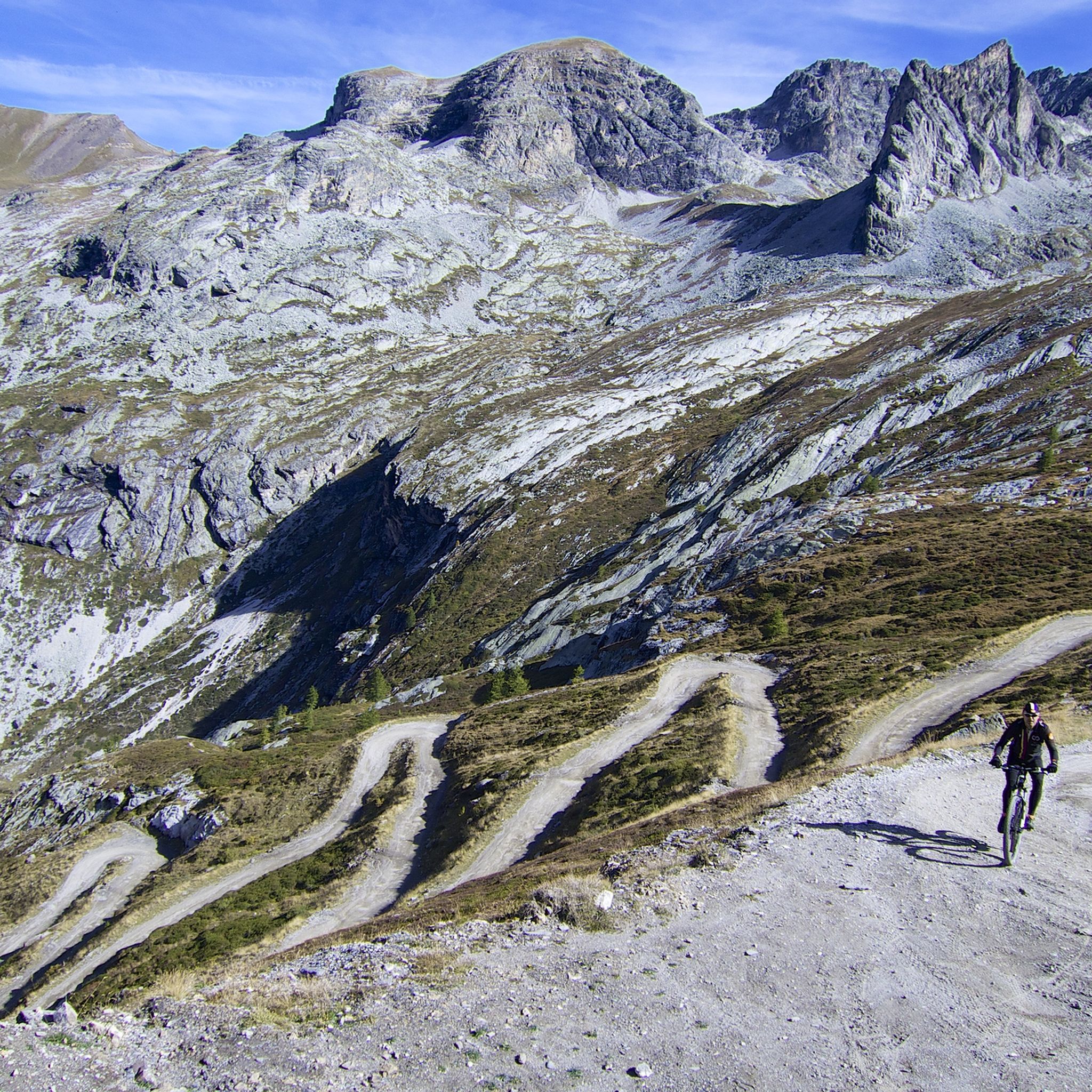
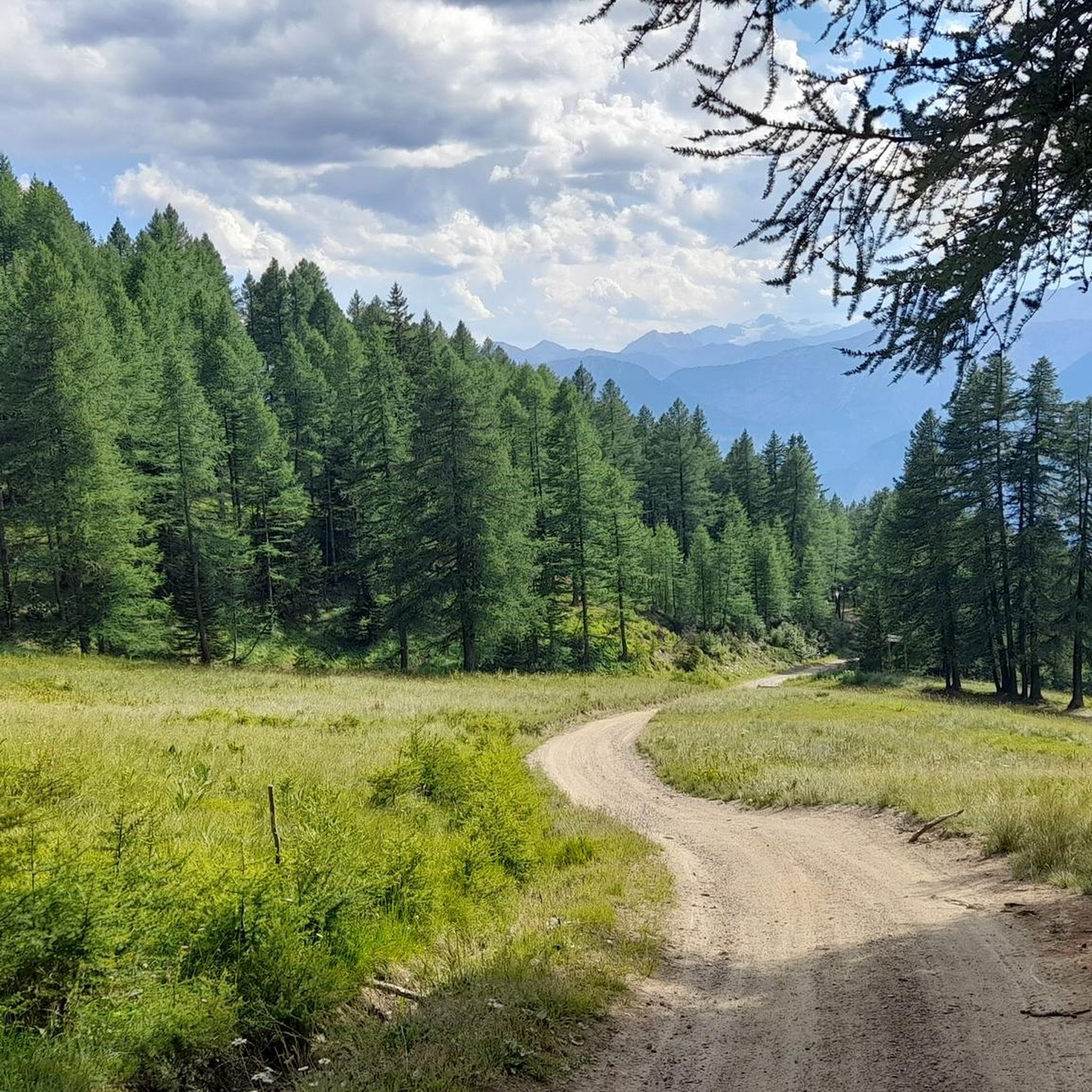
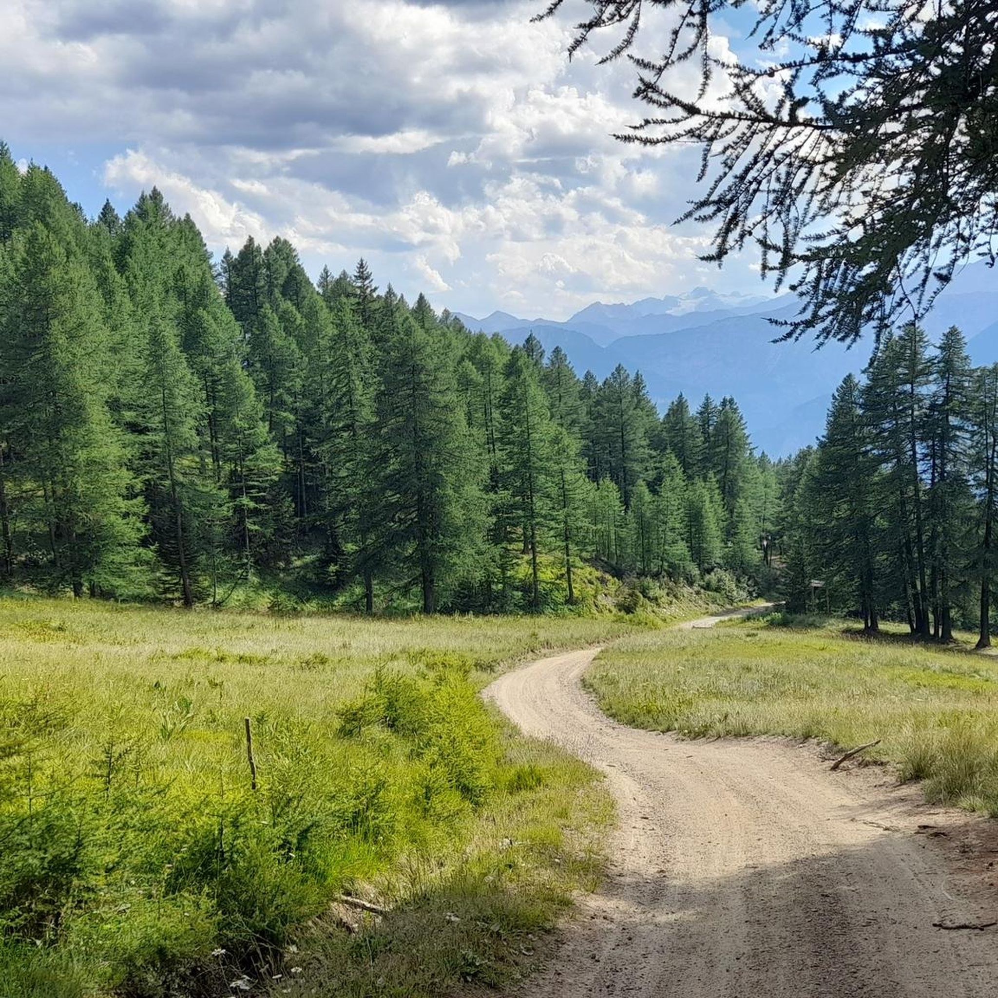
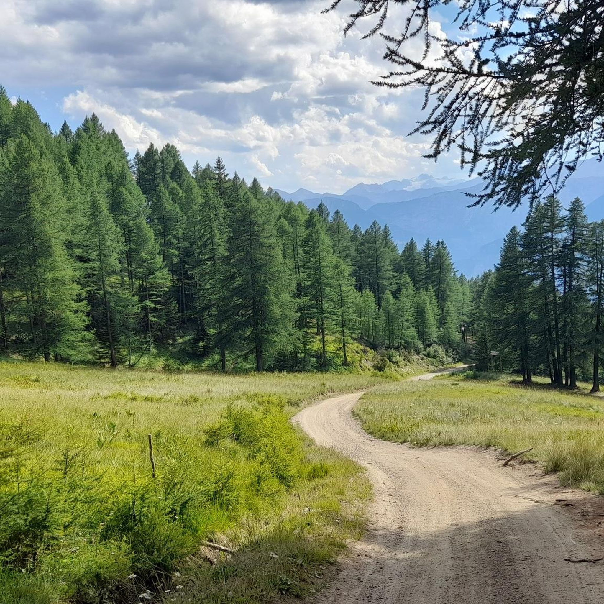
Gravel biking around Bardonecchia offers routes through the high valleys of the Italian Alps, characterized by varied terrain including forest tracks, alpine meadows, and unpaved mountain roads. The region features significant elevation changes, with trails often following river valleys or climbing towards mountain passes. This landscape provides a mix of challenging ascents and scenic descents suitable for gravel cyclists. The Bardonecchia basin is defined by alpine scenery, including emerald green lakes, extensive larch and pine forests, and high peaks.
Best…
Last updated: October 19, 2026
5.0
(6)
62
riders
56.8km
06:29
1,810m
1,810m
Hard gravel ride. Very good fitness required. You may need to push your bike for some segments of this route.
5.0
(3)
29
riders
36.7km
03:32
1,620m
1,620m
Hard gravel ride. Very good fitness required. Mostly paved surfaces. Suitable for all skill levels.

4.9
(16)
64
riders
32.9km
01:54
330m
330m
Moderate gravel ride. Good fitness required. Mostly paved surfaces. Suitable for all skill levels.
4.8
(4)
45
riders
34.4km
02:45
840m
840m
Hard gravel ride. Very good fitness required. Mostly paved surfaces. Suitable for all skill levels.
4.8
(4)
53
riders
40.7km
03:16
1,230m
1,230m
Hard gravel ride. Very good fitness required. Mostly paved surfaces. Suitable for all skill levels.
Get access to more routes and recommendations from other explorers.
Already have an account?
Our route recommendations are based on thousands of hikes, rides, and runs completed by other people on komoot.
Start today with a free account
Your next adventure awaits.
Popular around Bardonecchia
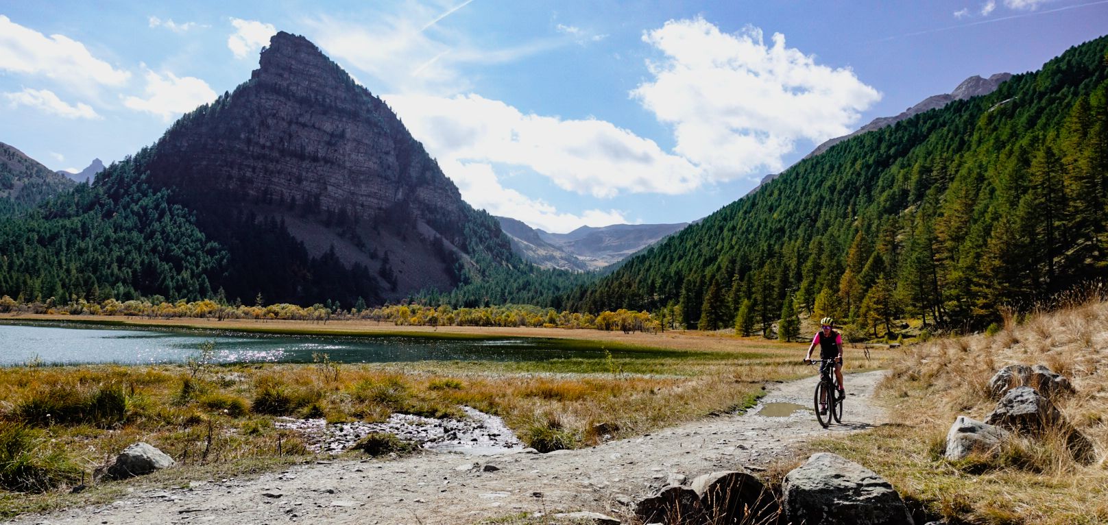
Mediterranean passes and gentle hills — cycling in Piedmont
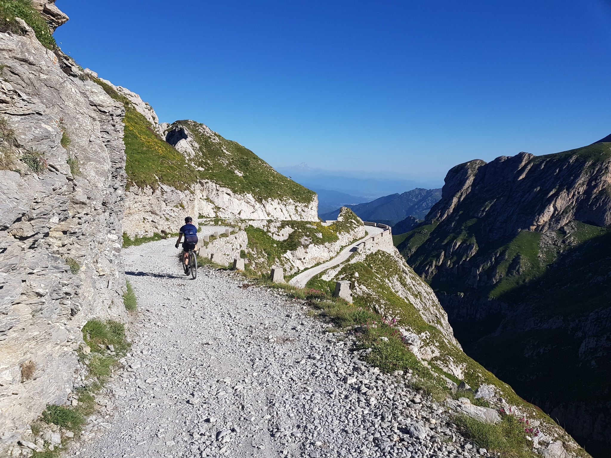
Military roads, forts and tunnels – gravel in the Southern Alps
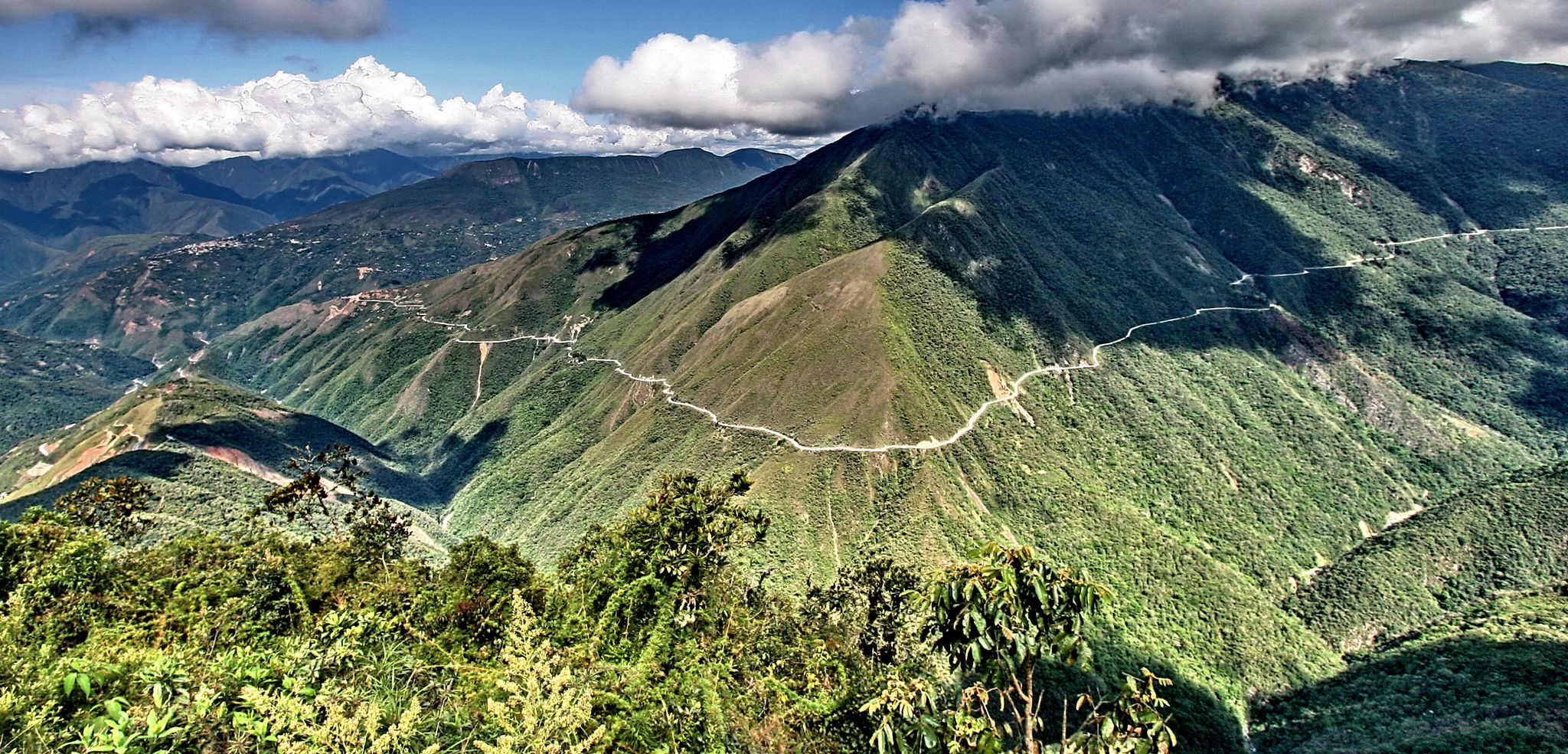
The world's most adventurous cycling passes
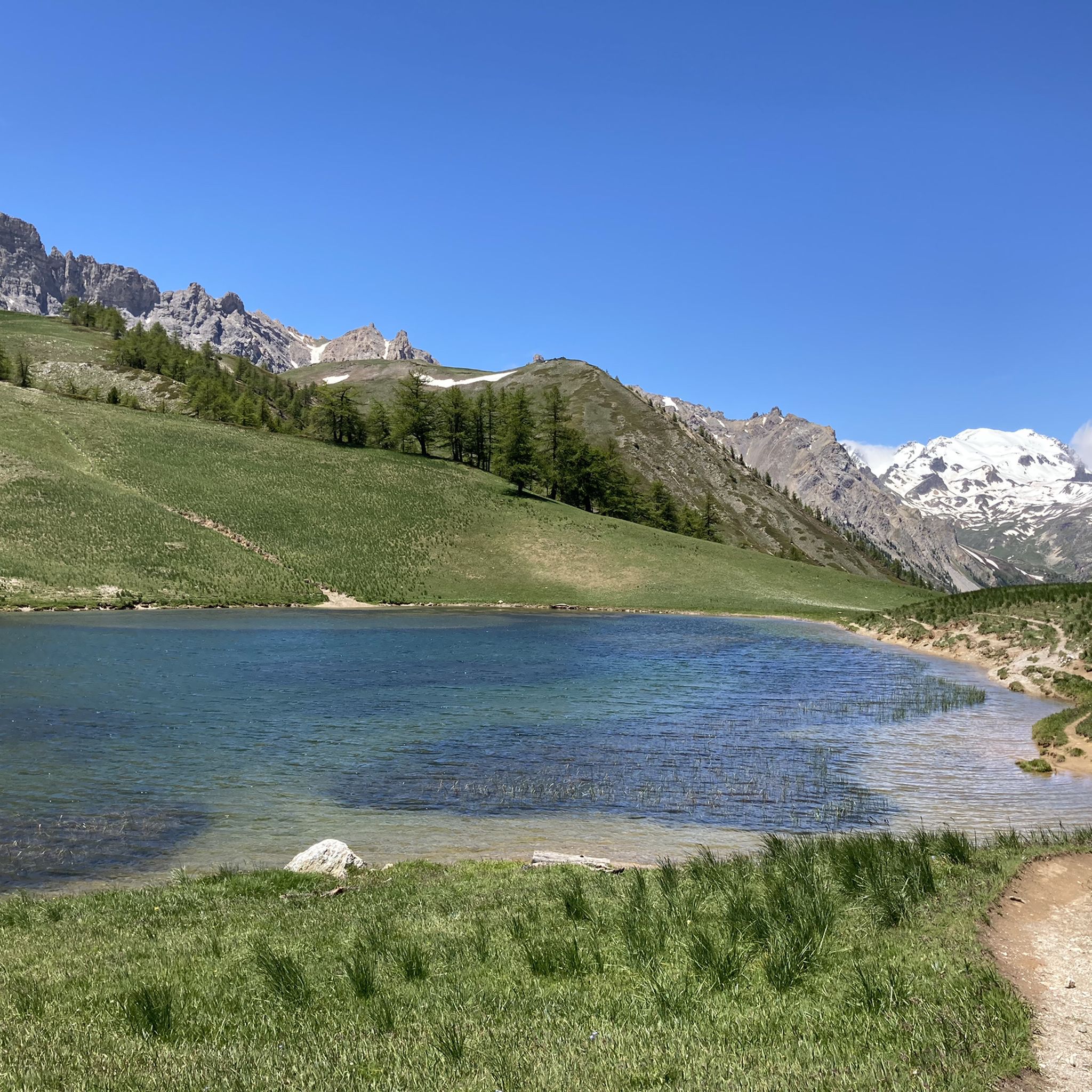
Hiking around Bardonecchia
MTB Trails around Bardonecchia
Cycling around Bardonecchia
Road Cycling Routes around Bardonecchia
Running Trails around Bardonecchia

Mountain Hikes around Bardonecchia
Other adventures around Bardonecchia


Tips from the Community


Starting point of the fabulous military road of Pramand, which goes beyond the summit of Jafferau, up to Salbertrand
0
0
The path that starts in front of the Foens fort
0
0
From this point, Mount Jafferau is within reach
0
0
Pass point for Valfredda or for other trails
0
0
Mountain spectacle. Speechless
0
0
You cannot climb to the Sommelier without visiting this historic village
0
0
A nice resting point to refill water bottles and have a snack
0
0
Frequently Asked Questions
How many gravel bike trails are available in Bardonecchia?
Bardonecchia offers a diverse network of over 20 gravel bike trails. While many are challenging, there are also moderate options for those looking for a less strenuous ride.
Are there any easy or family-friendly gravel bike trails in Bardonecchia?
Most gravel bike trails in Bardonecchia feature significant elevation changes and are rated as difficult. However, there are a couple of moderate routes that might be more suitable for experienced beginners or families with older children. These routes typically follow river valleys or lower forest tracks, offering a less demanding experience than the high alpine climbs.
What is the best season for gravel biking in Bardonecchia?
The best season for gravel biking in Bardonecchia is generally from late spring to early autumn (May to October). During these months, the weather is more stable, and most high mountain passes are free of snow. Always check local weather and trail conditions before heading out, especially in the shoulder seasons.
What kind of terrain can I expect on gravel bike routes around Bardonecchia?
Gravel biking in Bardonecchia involves varied terrain, including unpaved mountain roads, forest tracks, and alpine meadows. You'll encounter significant elevation changes, from river valley paths to challenging climbs towards high mountain passes. The surfaces can range from smooth gravel to rocky sections.
Are there any circular gravel bike routes in Bardonecchia?
Yes, many of the gravel bike routes in Bardonecchia are designed as loops, allowing you to start and finish in the same location. For example, the Bardonecchia Valley Loop is a popular circular option that navigates through dense pine forests and open valley sections.
What are some scenic viewpoints or landmarks I can see along the gravel bike trails?
Many trails offer breathtaking alpine views. You can encounter historical sites like the Mont Chaberton Fort or enjoy panoramic vistas from the Punta Colomion Summit. The region also features natural wonders such as the Clarée Valley and the Notre-Dame-du-Charmaix Chapel.
What is the typical length and duration of gravel bike routes in Bardonecchia?
Route lengths vary significantly. For instance, the challenging Colle del Sommeiller Ascent is about 25.0 miles (40.2 km) and takes approximately 4 hours 30 minutes. Shorter, more moderate routes are also available, often ranging from 10 to 20 miles.
Are there places to park my car at gravel bike trailheads in Bardonecchia?
Yes, Bardonecchia, being a popular outdoor destination, offers various parking options. Many trailheads, especially those closer to the town center or popular starting points, have designated parking areas. It's advisable to check specific route descriptions for detailed parking information.
Can I access gravel bike trails in Bardonecchia using public transport?
Bardonecchia is well-connected by train, making it accessible via public transport. From the train station, you can often reach various trail starting points within the town or use local bus services that might serve surrounding areas. Always check local transport schedules and bike carriage policies.
What do other gravel bikers enjoy most about the trails in Bardonecchia?
The komoot community highly rates the gravel biking experience in Bardonecchia, with an average score of 4.7 stars from over 50 reviews. Riders frequently praise the stunning high alpine views, the variety of challenging climbs, and the unique experience of riding on historical military roads, such as those found on the Jafferau Fort Gravel Climb.
Are there cafes or refreshment stops along the gravel bike trails?
While many routes venture into remote alpine areas, some trails pass through or near small villages where you might find cafes or restaurants. Additionally, some mountain huts, like the Rifugio Re Magi, offer refreshments. It's always wise to carry enough water and snacks, especially on longer or more isolated rides.
Most popular routes around Bardonecchia
Most popular attractions around Bardonecchia

Get inspired with the komoot mobile app


Explore more
Browse the best Gravel rides in other regions.
