The best gravel rides in Eildon And Leaderfoot
3.5
(2)
57
riders
2
rides
Gravel biking in Eildon And Leaderfoot offers routes through a landscape shaped by the Eildon Hills, the River Tweed, and Leader Water. The region features undulating hills, river valleys, and a mix of upland moors and agricultural land. Trails often traverse forest tracks and open countryside, providing varied surfaces for gravel cyclists. The area's geology includes igneous rock from ancient volcanic activity, contributing to the distinctive Eildon Hills.
Best gravel bike trails in Eildon And Leaderfoot
- The most popular gravel…
Last updated: July 16, 2026
2.0
(1)
3
riders
11.3km
00:54
210m
210m
Moderate gravel ride. Good fitness required. Mostly paved surfaces. Suitable for all skill levels.
21
riders
62.2km
03:59
750m
750m
Hard gravel ride. Very good fitness required. Mostly paved surfaces. Suitable for all skill levels.

Sign up for free
15
riders
43.8km
03:00
520m
520m
Hard gravel ride. Very good fitness required. Mostly paved surfaces. Suitable for all skill levels.
5
riders
23.3km
01:48
420m
420m
Moderate gravel ride. Good fitness required. Mostly paved surfaces. Suitable for all skill levels.
5.0
(1)
13
riders
31.3km
02:00
400m
400m
Moderate gravel ride. Good fitness required. Mostly paved surfaces. Suitable for all skill levels.
Our route recommendations are based on thousands of hikes, rides, and runs completed by other people on komoot.
Start today with a free account
Your next adventure awaits.
Login or Signup
Popular around Eildon And Leaderfoot
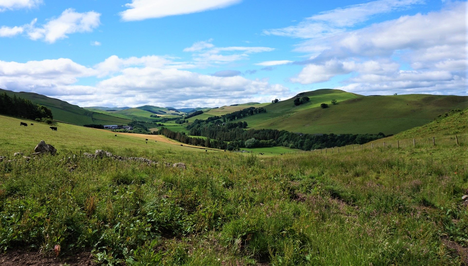
St Cuthbert's Way — Hike wild moors, historic hills and heavenly coast
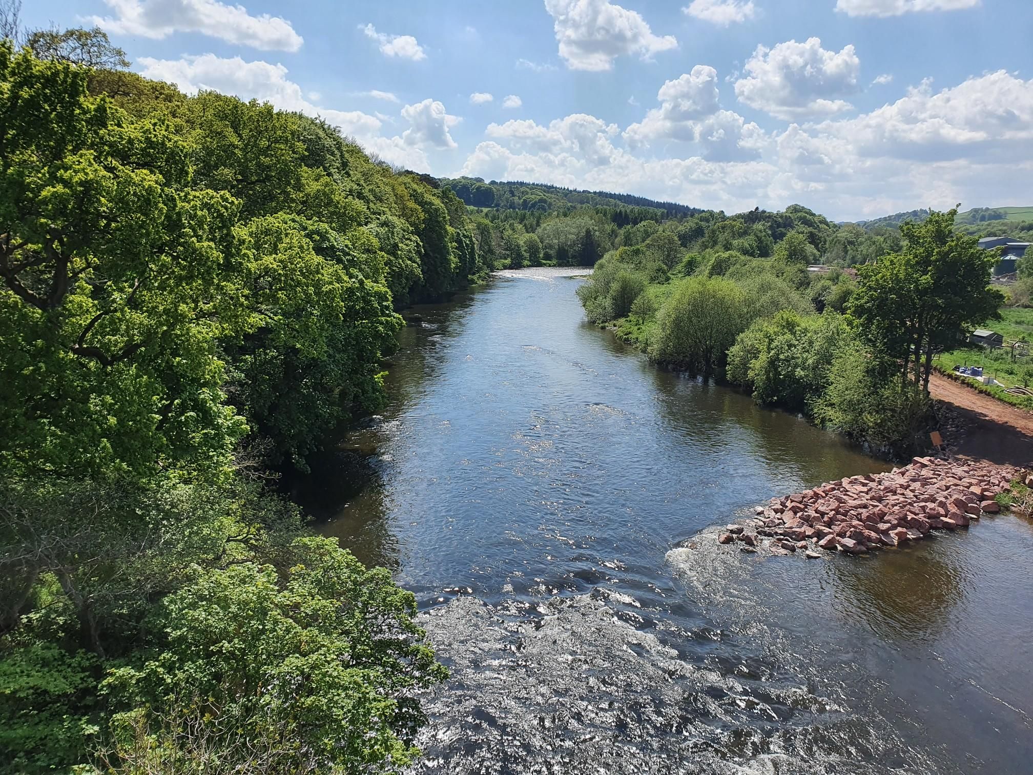
Celebrating Kirkpatrick MacMillan on the Kirkpatrick Coast to Coast

Walk Britain – 90 car-free adventures in England, Wales and Scotland
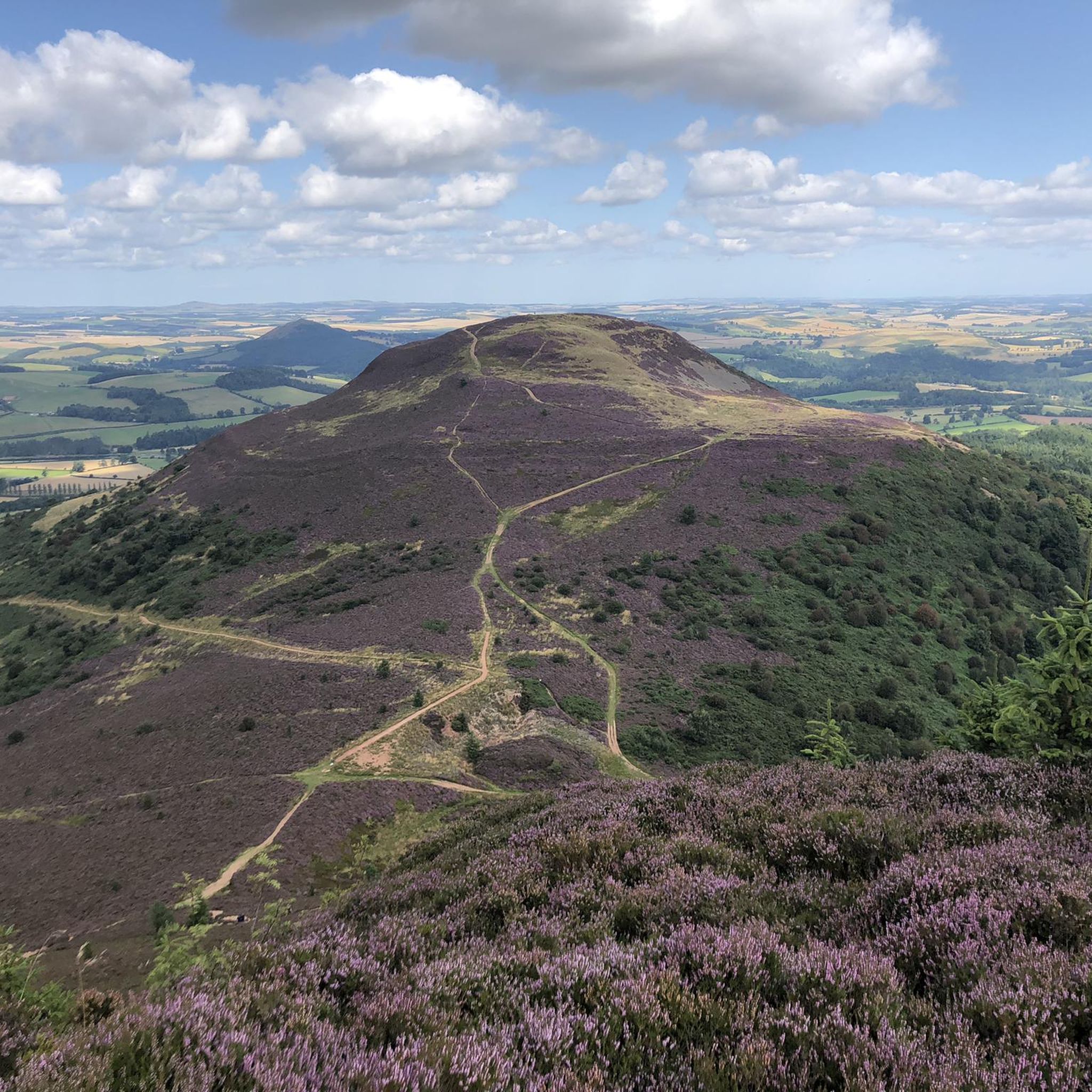
Hiking in Eildon And Leaderfoot
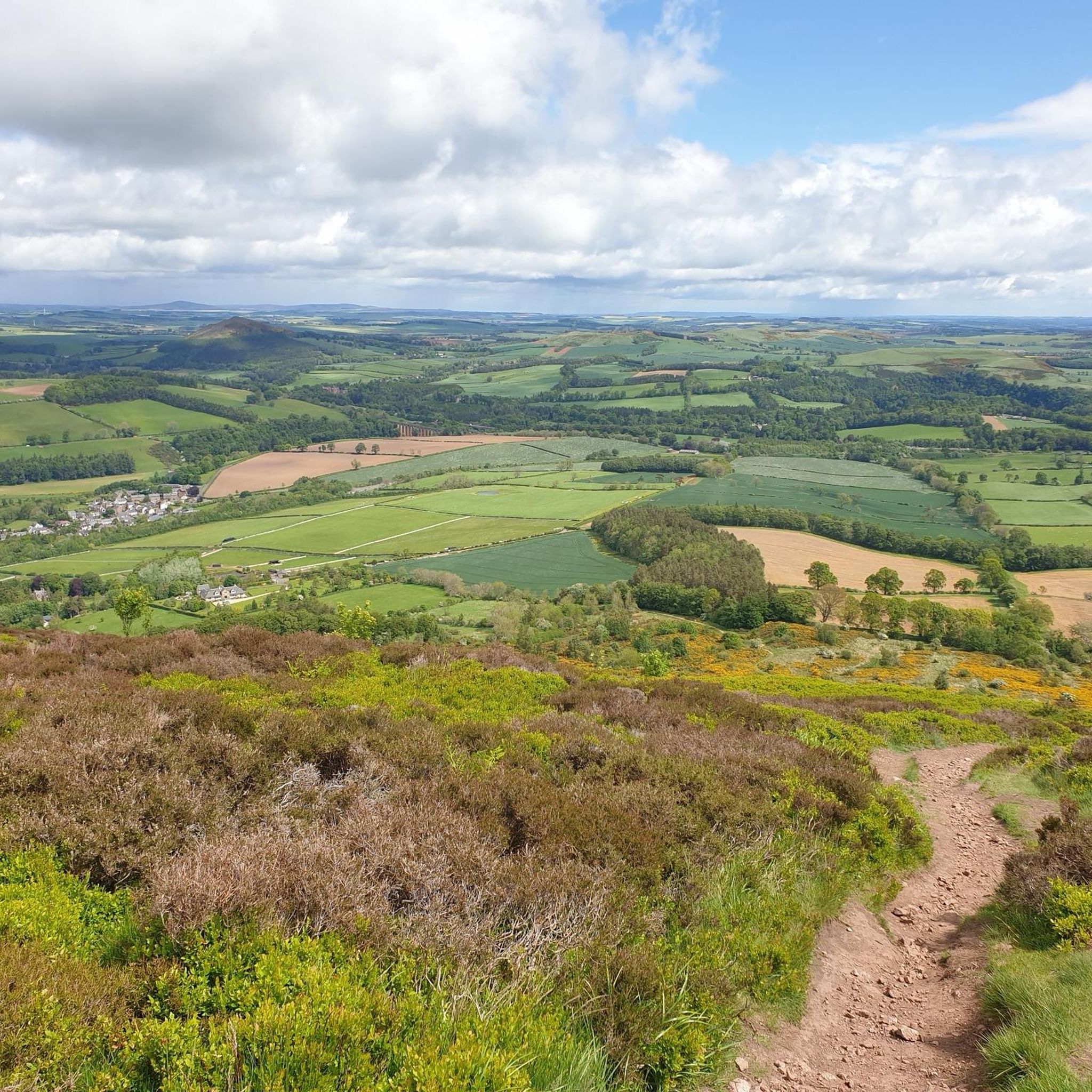
MTB Trails in Eildon And Leaderfoot
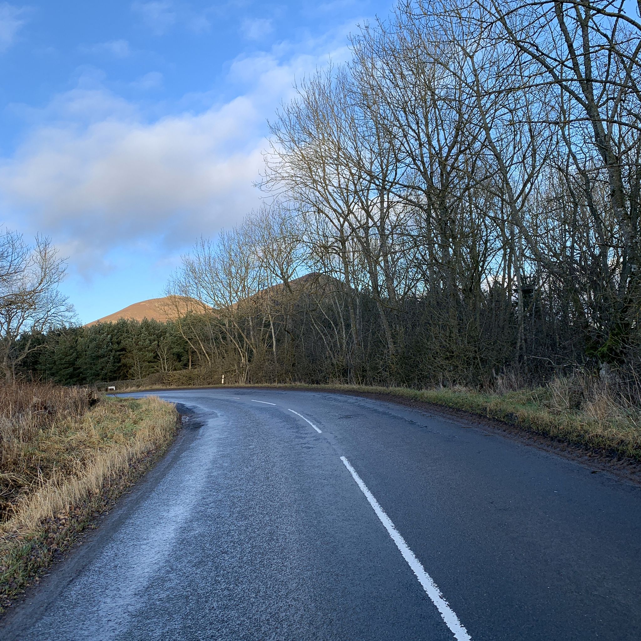
Road Cycling Routes in Eildon And Leaderfoot
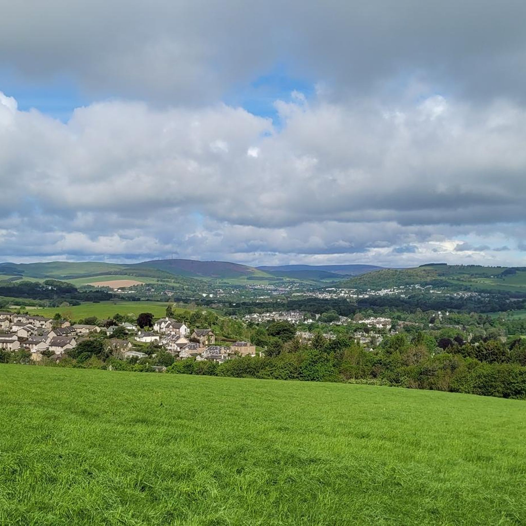
Running Trails in Eildon And Leaderfoot
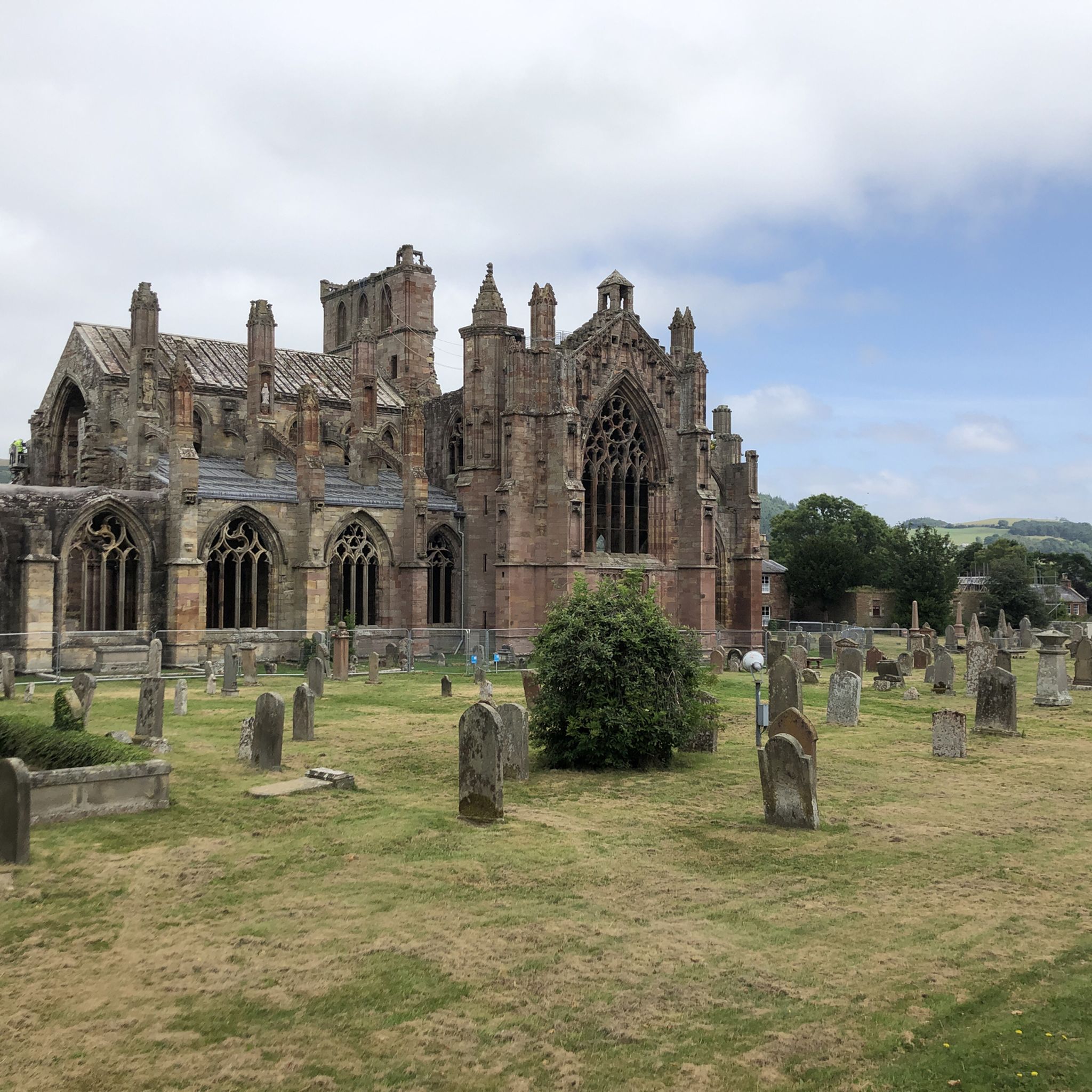
Cycling in Eildon And Leaderfoot
Other adventures in Eildon And Leaderfoot


Tips from the Community

Can fly along this car free section as long as you keep an eye on the surface. Beautiful old bridges at either end.
0
0

For Goethe, Walter Scott's books were "the best things ever written in the world." With his historical novels, such as the one about the knight Ivanhoe, the Scottish author, born 250 years ago, was one of the most famous authors of his time. Quote from Walter Scott: "I have read enough books to know that the most profound utterances come from the lips of poor and uneducated women and men. Things often come to light there that are perhaps more sublime and moving only in the Bible. Even the poet will only fulfill his true calling if he recognizes everything as vain and worthless that is not a true inner cultivation of the heart." (Text from https://www.deutschlandfunk.de/250-geburtstag-des-schriftstellers-wie-sir-walter-scott-den-100.html ) From the spot marked here as a highlight, passersby can only see it from a distance, but the property itself is of course also included in the koomot system, see => https://www.komoot.com/de-de/highlight/4525502
0
0

The tarmac cycle path following the river Tweed from Glentress makes Innerleithen super accessible which in turn provides you with free range to pedal the ‘old’ XC & DH trails, it also provides easy access to the current ‘trendy’ gravity orientated hot spot of Golfie, named so, as it’s situated above the golf course. First off the Old XC, (starts from the carpark over the bridge by the river) it was very sad to see the current trashed & sorry state of what appears to be the forgotten XC Trail, after having ridden it many times since the early eighties! The long climb at the start is currently cut short & diverted with no access up to the top from what I could see? The remainder of the trails are just trashed with the mighty Caddon Bank DH a shadow of its former self. Golfie is an easy pedal across the village with some great coffee stop opportunities enroute. One in particular Findra on the high st deserves a Big shout out, it’s stylish, MTB rider (muddy bum) friendly, sells fantastic coffee & food has uber cool curated music. Oh it also sells very cool artisan made clothing. There are others in the village which all look fab but Findra was the one we stopped at. The Findra staff ride mountain bikes, are super friendly & great for local riding knowledge 😉👍 Golfie is a short pedal through the village towards the Golf club & then a longish pedal up a Forest road with ‘natural’ trails spilling off the side of the hill in varying degrees of difficulty. Be prepared for full on gnar, chunder, roots, very steep drop offs & lots n lots of muddy gloop if the weather has not been kind. No manicured trails here! If you keep pedalling you’ll eventually reach the old reservoir where the views are magnificent & several trail go off in several directions. My advice, if it’s your first time riding Golfie try & take someone who’s ridden it before as some of the trails start off very benign but then transform like Dr Jekyll & Mr Hyde! Wear body armour that allows you to pedal, but all the same wear body armour😜👍
1
0

Connecting the 7 staines. You can bike from Walkerburn, Innerleithen and Glentress on this path.
0
0


A small loch, wooded on its north shore and a great habitat for birdlife. Folklore records that the loch is home to a bogle in the shape of a 'water bull'.
0
0
The River Tweed, or Tweed Water (Scottish), is a river 97 miles (156 km) long that flows east across the Scottish Borders and into northern England. Tweed is an Old Celtic name meaning "border" and tweed cloth derives its name from its association with the river, on account of the hundreds of mills powered by the river at one time. The Tweed is one of the great Salmon rivers of Europe and generates a large income for the local Borders region, attracting anglers from all around the world. It is one of the best Salmon rivers in Scotland.
0
0
River Ettrick is noted for its salmon and trout fishing
0
0
Frequently Asked Questions
How many gravel bike trails are available in Eildon And Leaderfoot?
Eildon And Leaderfoot offers a selection of gravel bike trails, with over 5 routes currently available on komoot. These routes cater to various skill levels, from moderate loops to more challenging long-distance paths.
What kind of terrain can I expect on gravel bike trails in Eildon And Leaderfoot?
You can expect a diverse range of terrain, from undulating hills around the iconic Eildon Hills to river valleys along the Tweed and Leader Water. Trails often traverse forest tracks, open countryside, and agricultural land, providing varied surfaces suitable for gravel bikes. The geology includes igneous rock and Old Red Sandstone, contributing to the distinctive landscape.
Are there any family-friendly gravel cycling routes in Eildon And Leaderfoot?
While specific 'easy' routes for very young children might be limited, many of the moderate trails can be suitable for families with older, experienced riders. The varied terrain and scenic views offer an engaging experience for all. Always check the route details for distance and elevation before heading out with family.
What historical landmarks or natural attractions can I see along the gravel bike trails?
The region is rich in history and natural beauty. You can encounter impressive sights like the Leaderfoot Viaduct, a striking 19th-century railway bridge (Leaderfoot Viaduct). The iconic Eildon Hills offer panoramic views from peaks like Eildon Hill North and Eildon Mid Hill Summit. Nearby, you can also explore the ruins of Melrose Abbey, a significant historical site.
Are there any circular gravel bike routes in the Eildon And Leaderfoot area?
Yes, several routes in the area are designed as loops. For example, the Redbridge Viaduct – Caulshield Loch loop from Melrose is a moderate 7.0-mile (11.3 km) trail offering views of the historic viaduct. Another option is the Torwoodlee Tower Ruins loop from Caddonfoot, which is a 14.5-mile (23.3 km) moderate route through forested areas.
What is the best time of year for gravel biking in Eildon And Leaderfoot?
Spring, summer, and early autumn generally offer the most favorable conditions for gravel biking in Eildon And Leaderfoot. During these seasons, you'll typically find milder weather and drier trails. Winter riding is possible but can involve colder temperatures, shorter daylight hours, and potentially muddy or icy conditions on some tracks.
Are there options for longer, more challenging gravel bike rides?
Absolutely. For those seeking a more demanding experience, routes like the Tweed Valley Near Innerleithen – Old Peel Road loop from Tweedbank offer a difficult 39.3-mile (63.2 km) path exploring the wider Tweed Valley with varied terrain and significant elevation. Another challenging option is the Old Tweed Bridge – River Ettrick loop from Clovenfords, a 43.7-mile (70.3 km) difficult route.
What do other gravel bikers enjoy most about the trails in Eildon And Leaderfoot?
The area is highly rated by the komoot community, with an average score of 3.5 stars. Reviewers often praise the stunning panoramic views from the Eildon Hills, the historical landmarks like the Leaderfoot Viaduct, and the varied terrain that makes for engaging gravel rides. The mix of forest tracks and open countryside is frequently highlighted.
Are there any gravel routes that follow the River Tweed or Leader Water?
Yes, the region is shaped by the River Tweed and its tributaries like the Leader Water, and many routes incorporate these river valleys. The Elibank Craig Road – River Tweed loop from Caddonfoot is a moderate 31.3-mile (50.4 km) route that follows the River Tweed, offering scenic riverside cycling.
Where can I find parking for gravel bike trails in Eildon And Leaderfoot?
Parking is generally available in the towns and villages near the trailheads, such as Melrose, Tweedbank, and Caddonfoot. Specific parking details can often be found within individual komoot tour descriptions or by checking local council websites for public car parks. Always ensure you park responsibly and considerately.
Are there any specific regulations or permits required for gravel biking in the Eildon Hills or Leaderfoot area?
Generally, there are no specific permits required for cycling on public rights of way or designated trails in the Eildon Hills or Leaderfoot area. However, it's always important to respect local signage, adhere to the Scottish Outdoor Access Code, and be mindful of private land. Some areas, particularly around historical sites or nature reserves, may have specific rules regarding access.
Can I find places to eat or stay near the gravel biking routes?
The towns and villages within and around Eildon And Leaderfoot, such as Melrose, Newtown St Boswells, and Dryburgh, offer various amenities. You'll find cafes, pubs, and accommodation options that cater to visitors. These places provide convenient stops for refreshments or overnight stays before or after your rides.
Most popular routes in Eildon And Leaderfoot
Most popular attractions in Eildon And Leaderfoot

Get inspired with the komoot mobile app


Explore more
Browse the best Gravel rides in other regions.
