The best gravel rides around Buchenberger Wald
4.4
(122)
892
riders
70
rides
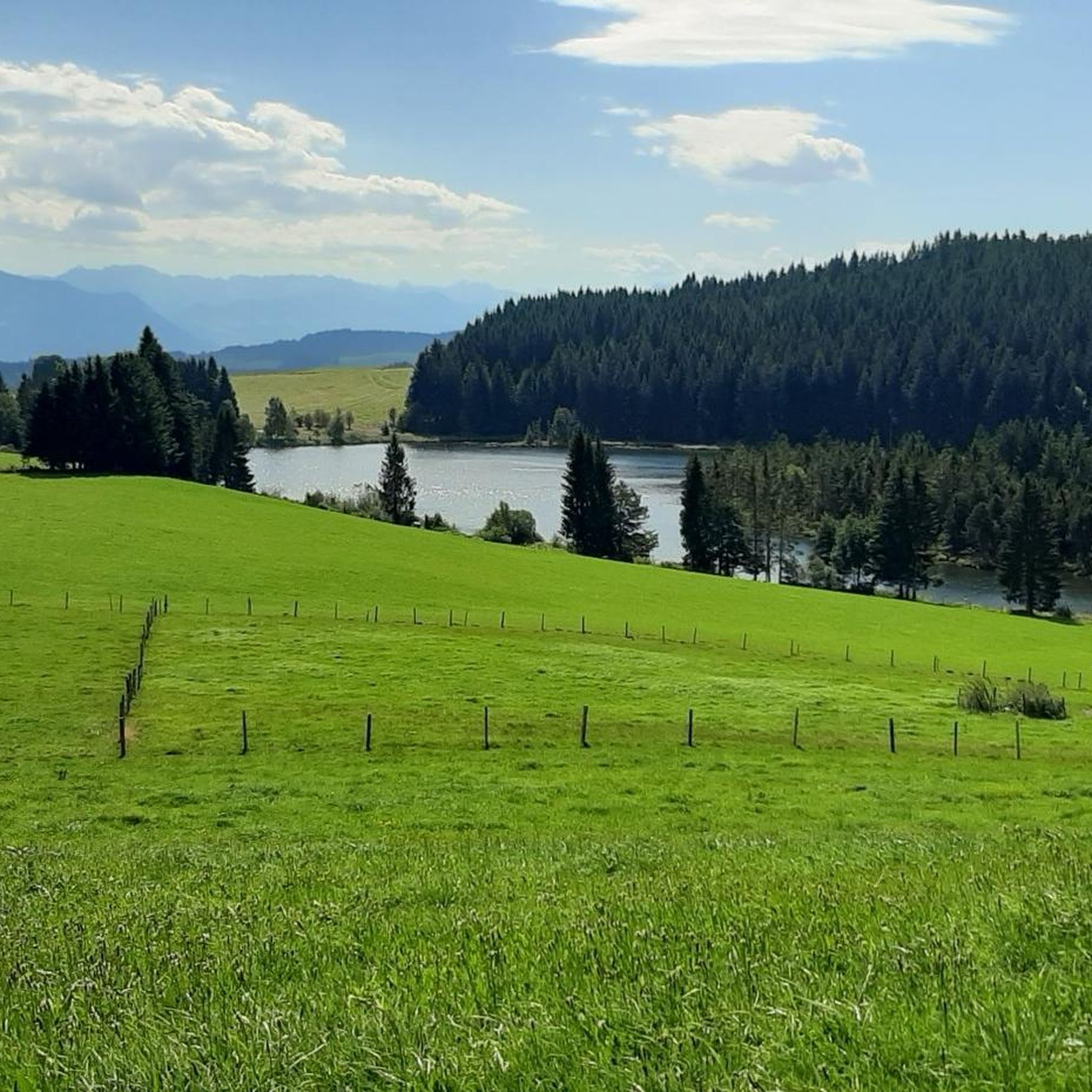
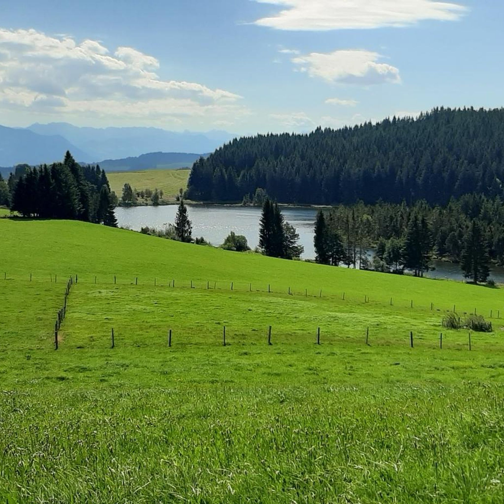
Gravel biking around Buchenberger Wald is situated within the Westallgäu region of Bavaria, Germany, characterized by its diverse landscape. The area features dense forests, elevated terrain forming part of the Adelegg mountain range, and an extensive network of forestry and service roads. Notable elevations include Hohenkapf (1121.1 m) and Kreuzleshöhe (1115 m), providing varied climbs and descents. The Eschach river originates within the forest, and the Eschacher Weiher lies at its southeastern edge.
Best gravel bike trails around Buchenberger Wald
…Last updated: July 2, 2026
4.6
(16)
78
riders
Hard gravel ride. Very good fitness required. Mostly paved surfaces. Suitable for all skill levels.
16
riders
57.9km
03:17
620m
620m
Hard gravel ride. Very good fitness required. Mostly paved surfaces. Suitable for all skill levels.

Sign up for free
5.0
(1)
2
riders
Hard gravel ride. Very good fitness required. You may need to push your bike for some segments of this route.
5.0
(1)
8
riders
10.2km
00:54
340m
340m
Moderate gravel ride. Good fitness required. Mostly paved surfaces. Suitable for all skill levels.
3.5
(2)
11
riders
Hard gravel ride. Very good fitness required. Mostly paved surfaces. Suitable for all skill levels.
Get access to more routes and recommendations from other explorers.
Sign up for free
Already have an account?
Our route recommendations are based on thousands of hikes, rides, and runs completed by other people on komoot.
Start today with a free account
Your next adventure awaits.
Login or Signup
Tips from the Community

As Kempten residents, we long avoided it, but the path is beautiful along its entire length from Ahegg to Weitnau. I now use the "Protective Wax" from Dynamic and nearby I discovered a pressure washer at the gas station. On the way, I also spotted a hummingbird hawk-moth. Very small but not a hummingbird. https://youtu.be/V8FgTsvxtio
0
0
I am not a fan of country roads and really enjoyed the cycle path. It offers much more scenery than expected and the rare opportunity to cycle many kilometers without climbs in the Allgäu. From Rotkreuz via Ermengerst, Wiggensbach and Buchenberg to Weitnau. From Weitnau there is a cycle path to Missen.
0
0

Super descent with great results.
0
0
The trail is actually a hiking trail.
0
0

perfect for gravel biking on the watershed.
0
0

The Raggenhorn, or perhaps the Raggenhorn, is a ridge that can be reached on one side via a steep meadow and on the other via a rocky path through the hedges. From the summit, you have an incredibly beautiful view. Next to the cross, there is a memorial stone and a few benches for resting.
1
0

Very pleasant to drive and great scenery
0
0

Yes, of course the cycle path is a highlight, that's why I'm there
0
0
Frequently Asked Questions
How many gravel bike trails are available in Buchenberger Wald?
Buchenberger Wald offers an extensive network of over 100 gravel bike trails. These routes cater to various skill levels, from easy excursions to challenging rides, leveraging the region's mix of paved roads and unpaved forest paths.
Are there any easy gravel bike trails suitable for beginners in Buchenberger Wald?
Yes, there are several options for beginners. Out of the over 100 gravel tours, 8 are specifically categorized as easy. These routes typically feature moderate elevation gains and are a great way to experience the diverse landscape without excessive challenge.
What kind of terrain can I expect on gravel bike trails in Buchenberger Wald?
The terrain in Buchenberger Wald is quite varied, offering a true gravel biking experience. You'll encounter a mix of surfaces, including paved roads, unpaved forest paths, and forestry roads. The landscape ranges from dense forests with exposed tree roots to elevated sections of the Adelegg mountain range, providing both shaded trails and challenging climbs.
Are there any gravel bike routes that offer panoramic views?
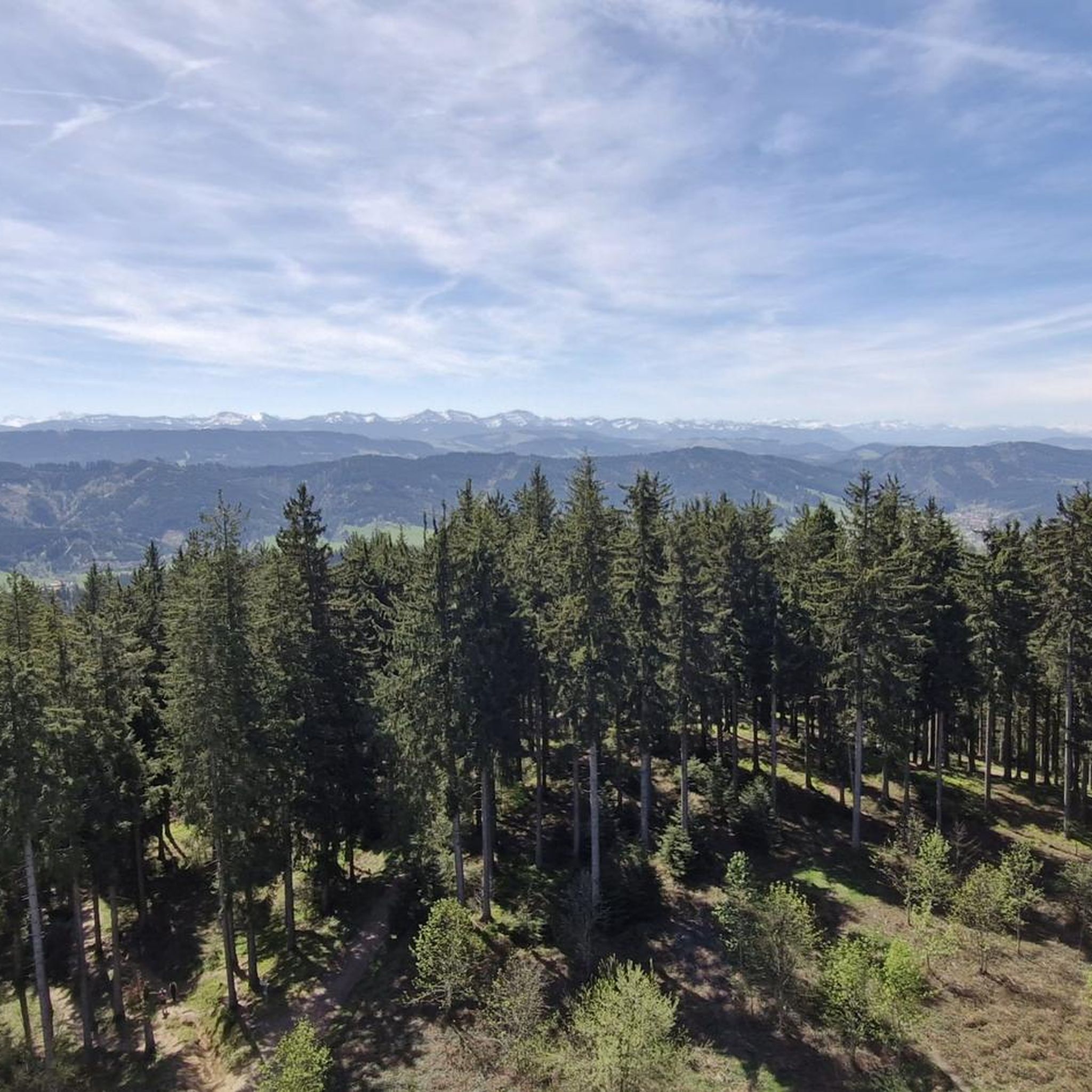
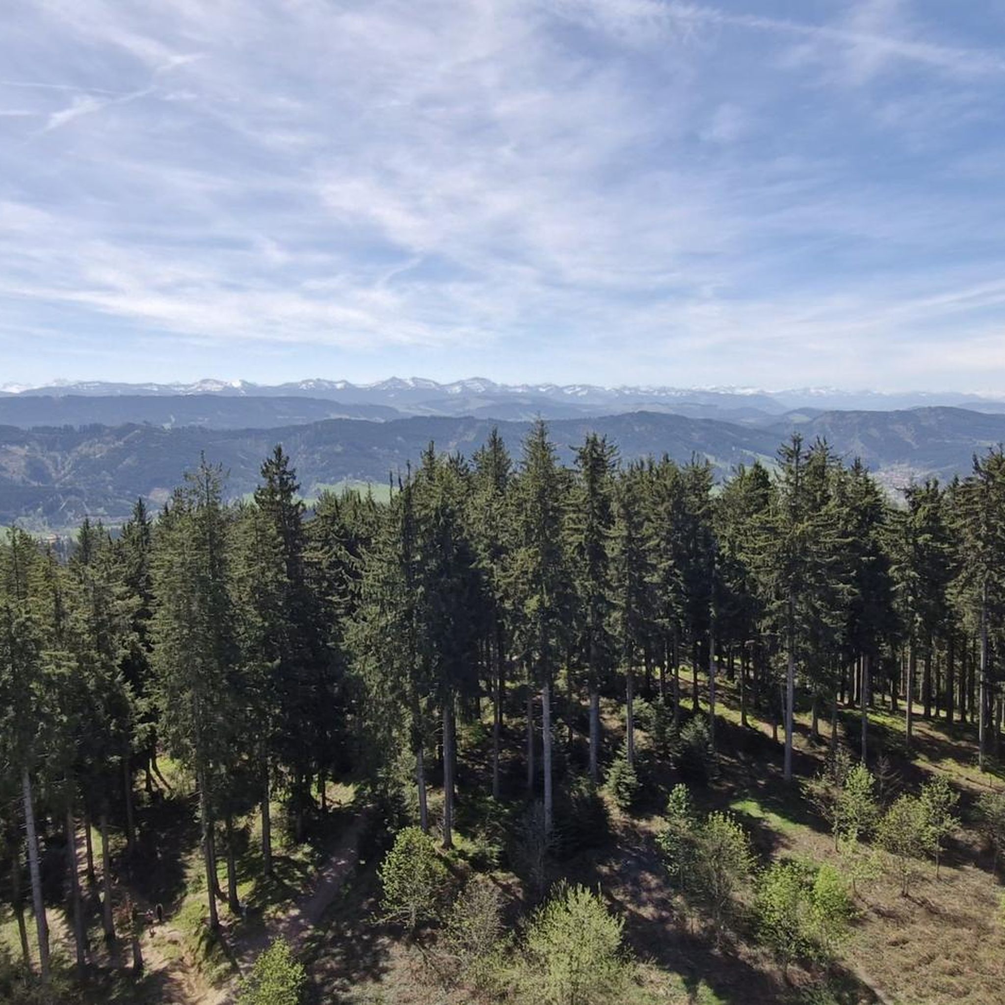
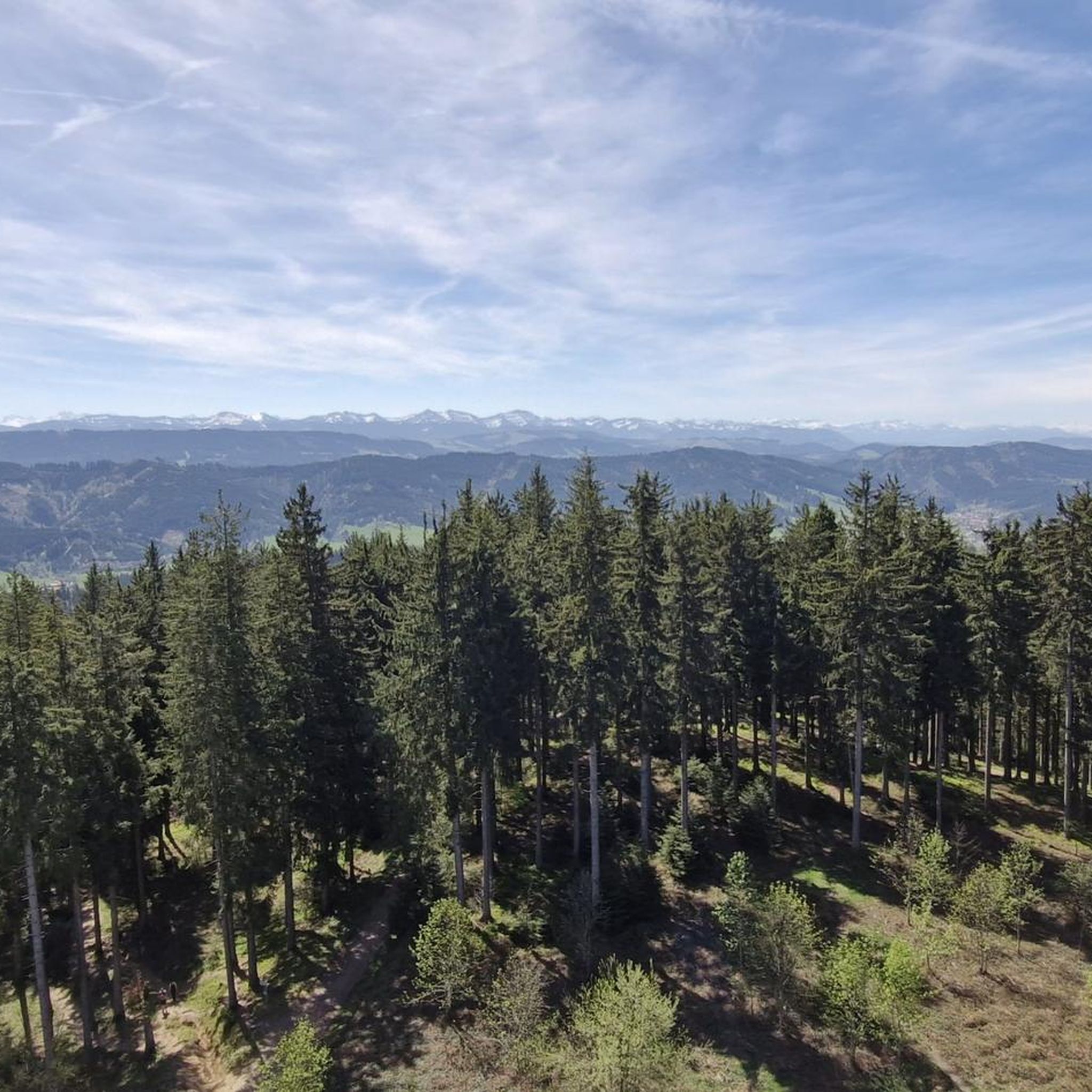
Absolutely. The region is known for its scenic viewpoints. For sweeping panoramic views, consider a route that passes by the Observation tower and playground at Schwarzer Grat. On clear days, you can see as far as Lake Constance and even Switzerland. Another excellent option is the View of the Allgäu Alps – Old Railway Embankment Path loop from Hengelesweiher, which offers stunning vistas of the Allgäu Alps.
What are some notable natural features or landmarks I can see along the gravel trails?
Beyond the scenic views, you can explore several natural features. The Raggenhorn Summit Cross and Hoherkapf (1122 m) are prominent peaks. You might also encounter unique natural monuments like the Naturally Formed Tree Bench or the Knob-nosed Cyclops Tree. The Eschacher Weiher lake and the Eschach river also add to the natural beauty of the area.
Are there any challenging gravel routes for experienced riders?
Yes, Buchenberger Wald has 45 routes classified as difficult, offering significant climbs and longer distances. An example is the Iller Cliffs near Riederau – Iller Rapids loop from Winterstetten, a demanding 57.9 km path featuring notable natural landmarks. These routes can span over five hours with substantial elevation gains, sometimes requiring advanced riding techniques.
What do other gravel bikers say about the trails in Buchenberger Wald?
The gravel biking routes in Buchenberger Wald are highly regarded by the komoot community, holding an average rating of 4.5 stars from over 150 reviews. Many visitors praise the diverse terrain, the extensive network of trails, and the beautiful natural environment, making it a popular destination for over 1000 gravel bikers who have explored the area with komoot.
Are there any loop trails for gravel biking in the region?
Many of the gravel bike trails in Buchenberger Wald are designed as loops, allowing you to start and finish at the same point. For instance, the Kreuzles Peak – View of the Eschacher Weiher loop from Schmidsfelden is a popular 31.8 km loop, and the Former Railway Track Allgäu – Raggenhorn Summit Cross loop from Friesenhofen offers another great circular option.
What is the best season for gravel biking in Buchenberger Wald?
The diverse landscape of Buchenberger Wald makes it suitable for gravel biking across multiple seasons. Spring and autumn offer pleasant temperatures and vibrant scenery, while summer provides shaded trails through dense forests. Winter can also be an option, though some paths might require more robust tires or conditions might necessitate pushing your bike on certain sections due to snow or ice.
Where can I find parking for gravel biking trails in Buchenberger Wald?
While specific parking areas are route-dependent, many trails start from villages or designated trailheads within or around the Buchenberger Wald. For example, routes often begin near Hengelesweiher, Winterstetten, or Schmidsfelden, which typically offer parking facilities for outdoor enthusiasts. It's advisable to check the specific tour details on komoot for recommended starting points and parking information.
Are there any routes that follow old railway lines?
Yes, the region features routes that incorporate former railway embankments, offering relatively flat and scenic sections. The View of the Allgäu Alps – Old Railway Embankment Path loop from Hengelesweiher is a prime example, providing a unique riding experience along these historic paths.
Can I find routes that pass by water bodies?
Yes, the Buchenberger Wald area includes natural water features. The Eschacher Weiher lies at the southeastern edge of the forest, and the Eschach river originates within it. The Kreuzles Peak – View of the Eschacher Weiher loop from Schmidsfelden is a route that offers views of the Eschacher Weiher, allowing you to enjoy the tranquility of the water.
Most popular routes around Buchenberger Wald
Most popular attractions around Buchenberger Wald

Get inspired with the komoot mobile app


Explore more
Browse the best Gravel rides in other regions.
