The best road cycling routes around Buchenberger Wald
4.6
(889)
13,401
riders
288
rides
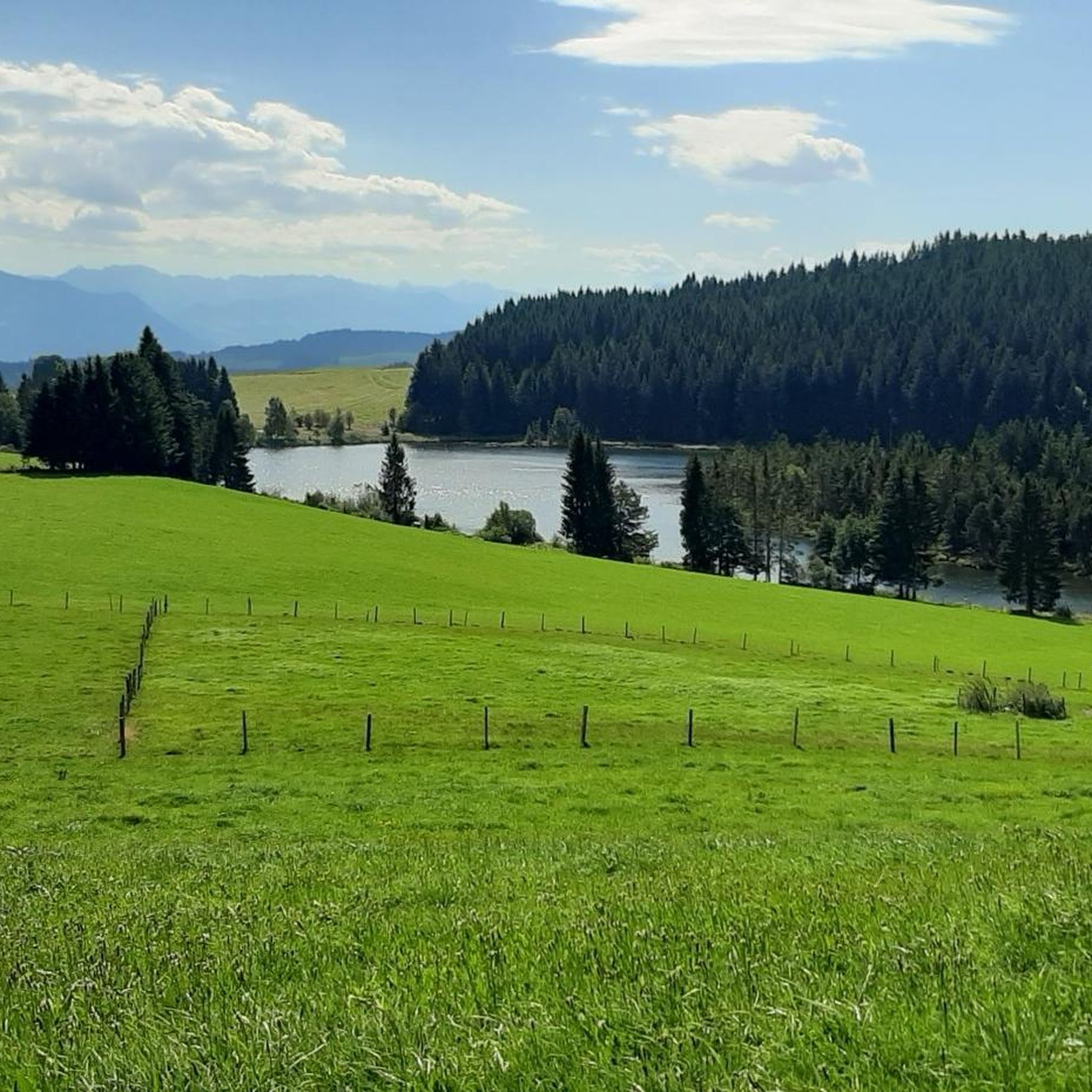
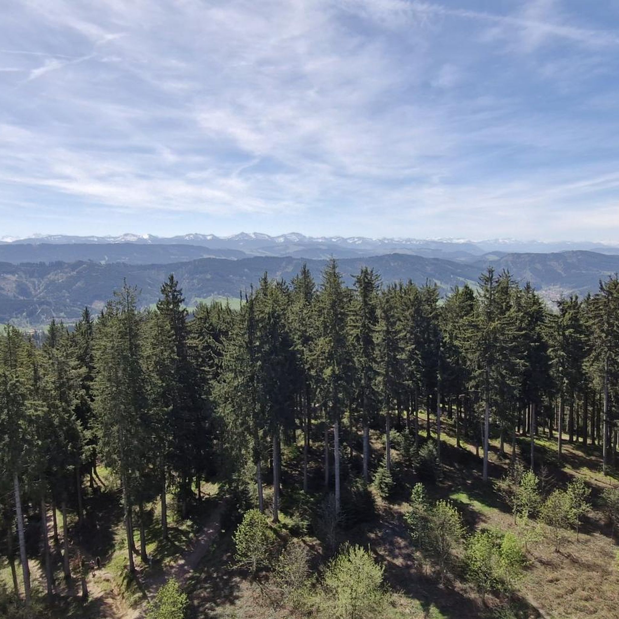
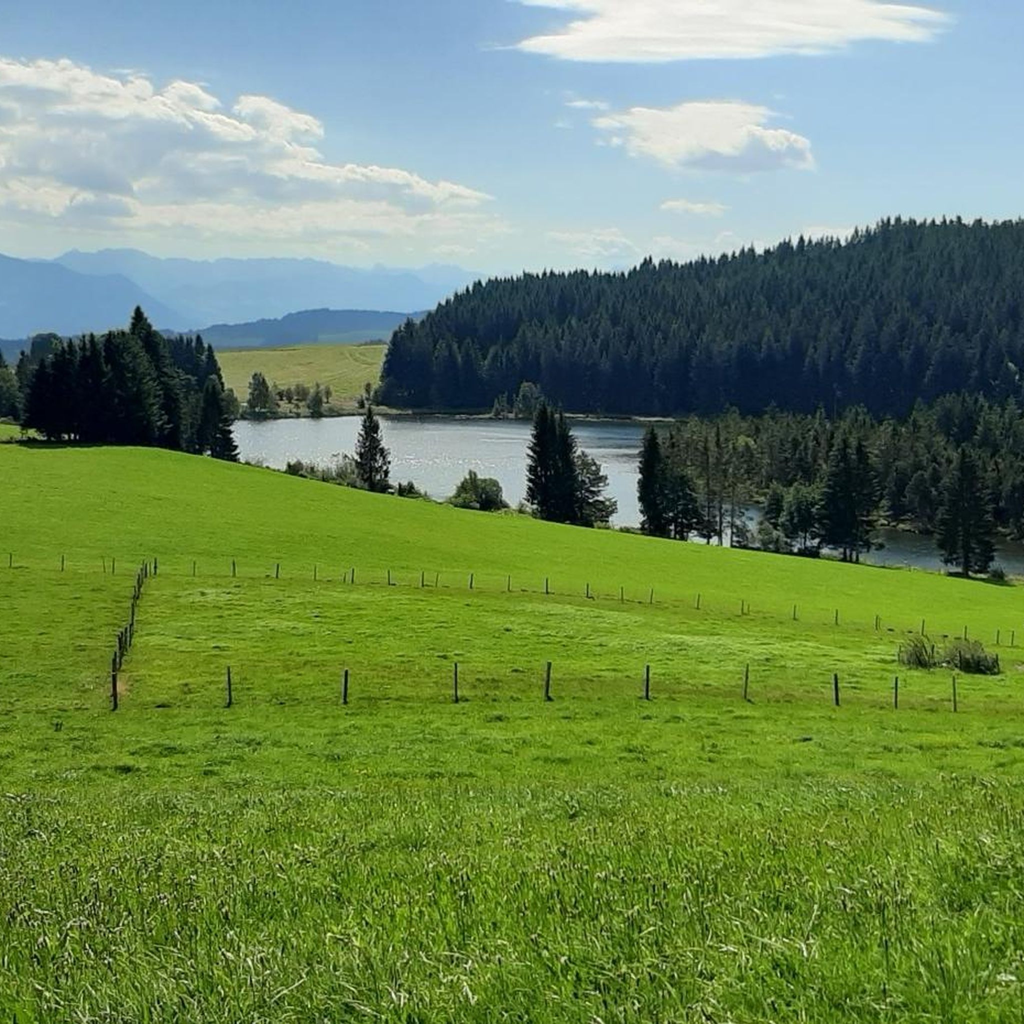
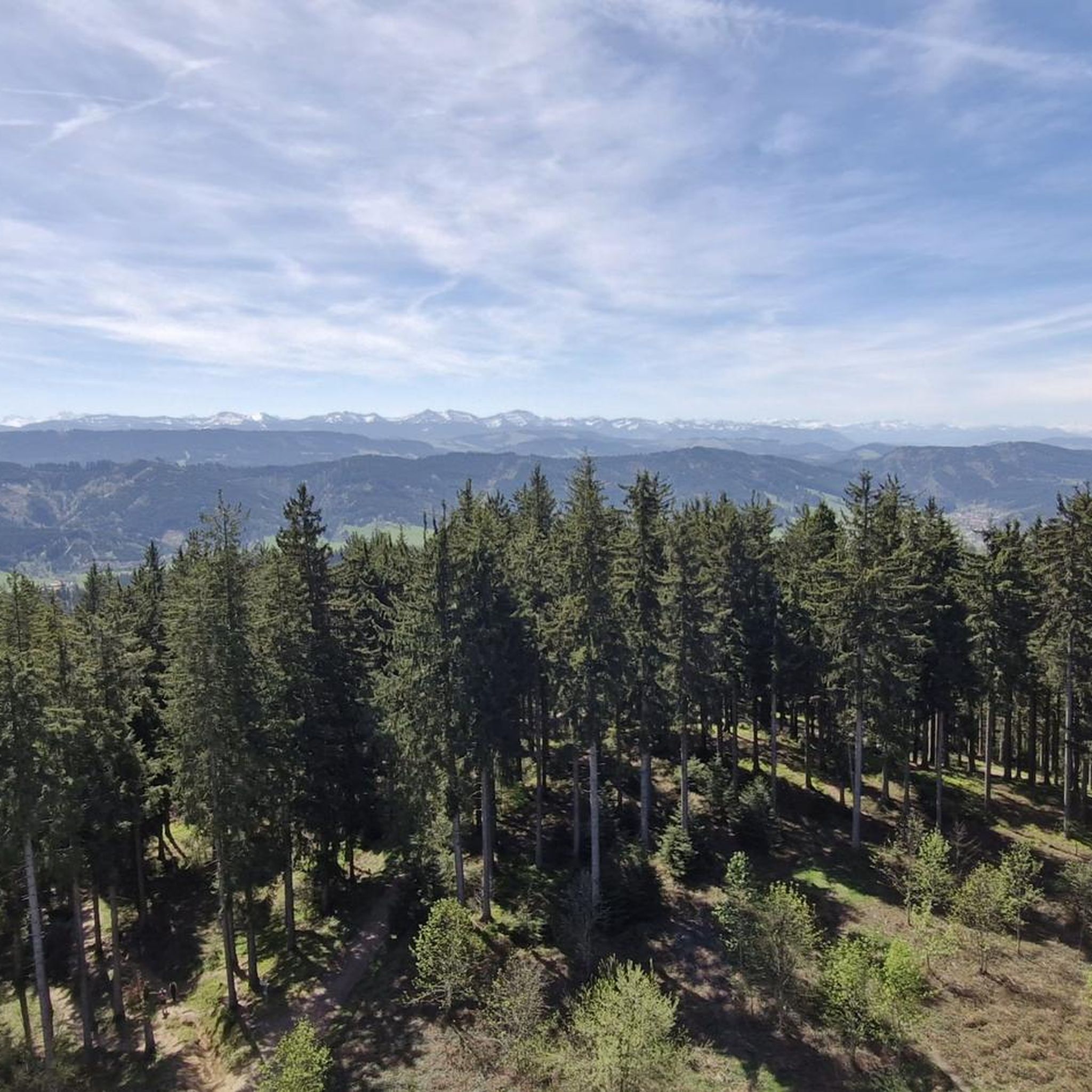
Road cycling around Buchenberger Wald offers diverse landscapes and challenging terrain in the Westallgäu region of Bavaria. The area is characterized by its forested nature and rolling hills, with elevations reaching over 1100 meters above sea level. Cyclists encounter varying altitudes, providing both challenging climbs and exhilarating descents. Panoramic views, including those of the Allgäu Alps, are common along many routes.
Best road cycling routes around Buchenberger Wald
- The most popular road cycling route is View of the Allgäu Alps…
Last updated: July 12, 2026
5.0
(4)
66
riders
46.0km
02:13
590m
590m
Moderate road ride. Good fitness required. Mostly well-paved surfaces and easy to ride.
4.6
(5)
76
riders
44.3km
02:11
530m
530m
Moderate road ride. Good fitness required. Mostly well-paved surfaces and easy to ride.

Sign up for free
11
riders
96.7km
04:19
840m
840m
Moderate road ride. Good fitness required. Some segments of this route may be unpaved and difficult to ride.
5.0
(1)
12
riders
76.3km
03:35
950m
950m
Hard road ride. Very good fitness required. Mostly well-paved surfaces and easy to ride.
8
riders
Easy road ride. Great for any fitness level. Mostly well-paved surfaces and easy to ride.
Get access to more routes and recommendations from other explorers.
Sign up for free
Already have an account?
Our route recommendations are based on thousands of hikes, rides, and runs completed by other people on komoot.
Start today with a free account
Your next adventure awaits.
Login or Signup
Tips from the Community

Go in, it's worth it. Couldn't take photos before because of other visitors.
0
0

The town pharmacy in Isny is located on the market square.
1
0
Beautiful tall church tower in Isny.
0
0


The remarkably preserved building is an outstanding example of a former patrician house that survived the town fire of 1631. The pharmacy also documents part of Isny's medical history since the 18th century.
2
0

The market square, with the Hallhaus (Hall House), the Blaser Tower (Blaser Tower), and the town hall, is the civic heart of the old Free Imperial City of Isny. Here, you can linger, look around, or enjoy a refreshment stop.
7
0

The goal should always be the ice cream in the Eiscaffee Miraval Bad Wurzach
0
0
I wish you good weather, because you need it in the Allgäu. As you cycle toward Saiten, you'll come across a coveted bench.
0
0
Frequently Asked Questions
How many road cycling routes are available in Buchenberger Wald?
The Buchenberger Wald area offers a comprehensive network of over 270 road cycling routes, catering to a wide range of fitness levels and preferences.
What kind of terrain can I expect when road cycling in Buchenberger Wald?
You can expect diverse landscapes characterized by rolling hills and dense forests. The region features varying altitudes, with peaks reaching over 1100 meters, providing both challenging climbs and exhilarating descents. Many paths are well-paved, ensuring a smooth riding experience.
Are there routes suitable for beginners or those looking for an easy ride?
Yes, Buchenberger Wald offers 59 easy road cycling routes. For example, the Emerlander Pond – Historic centre of Urlau loop from Schmidsfelden is an easy 19.1-mile (30.8 km) path that leads through the historic center of Urlau and past the Emerlander Pond.
What are some challenging road cycling routes in the area?
For experienced cyclists seeking a challenge, there are 28 difficult routes. A notable option is the Oberjoch Pass – View of the Eschacher Weiher loop from Friesenhofen, which covers 122 km with significant elevation gain, often taking over 5 hours to complete.
What is the best time of year for road cycling in Buchenberger Wald?
The months of June and August are particularly popular for road cycling in the Buchenberger Wald due to favorable weather conditions. The region's natural beauty is best enjoyed during these warmer periods.
Are there any scenic viewpoints or landmarks along the routes?
Absolutely. Many routes offer panoramic views, including those of the majestic Allgäu Alps. You can also visit the Observation tower and playground at Schwarzer Grat, which provides stunning vistas that can stretch as far as Lake Constance and Switzerland on clear days. The Hoherkapf (1122 m) is another prominent peak offering great views.
What do other road cyclists say about the routes in Buchenberger Wald?
The routes in Buchenberger Wald are highly rated by the komoot community, with an average score of 4.6 stars from over 830 reviews. Cyclists often praise the diverse landscapes, the combination of challenging climbs and rapid descents, and the well-maintained paths.
Are there any long-distance road cycling options?
Yes, the region offers several longer routes. For instance, the View of the Allgäu Alps – View of the Großer Alpsee loop from Wengen is a 44.8-mile (72.1 km) trail with significant elevation gain, providing a substantial ride for those looking for distance.
Can I find loop trails for road cycling in Buchenberger Wald?
Many of the road cycling routes in Buchenberger Wald are designed as loops, allowing you to start and finish at the same point. An example is the View of the Allgäu Alps – Panoramic Road to Engelwarz loop from Wengen, a moderate 46 km route.
Are there any natural features like lakes or rivers to see?
Yes, the landscape includes the Eschacher Weiher lake on its southeastern edge, and it's also the source of the Eschach and Kollerbach rivers. You might encounter these natural features on various routes, offering picturesque views.
Are there any unique natural monuments in the area?
Beyond the scenic views, you can discover unique natural monuments such as the Naturally Formed Tree Bench or the intriguing Knob-nosed Cyclops Tree, adding a touch of wonder to your ride.
Most popular routes around Buchenberger Wald
Most popular attractions around Buchenberger Wald

Get inspired with the komoot mobile app


Explore more
Browse the best Road cycling routes in other regions.
