The best gravel rides around Grünenplan
4.5
(17)
57
riders
33
rides
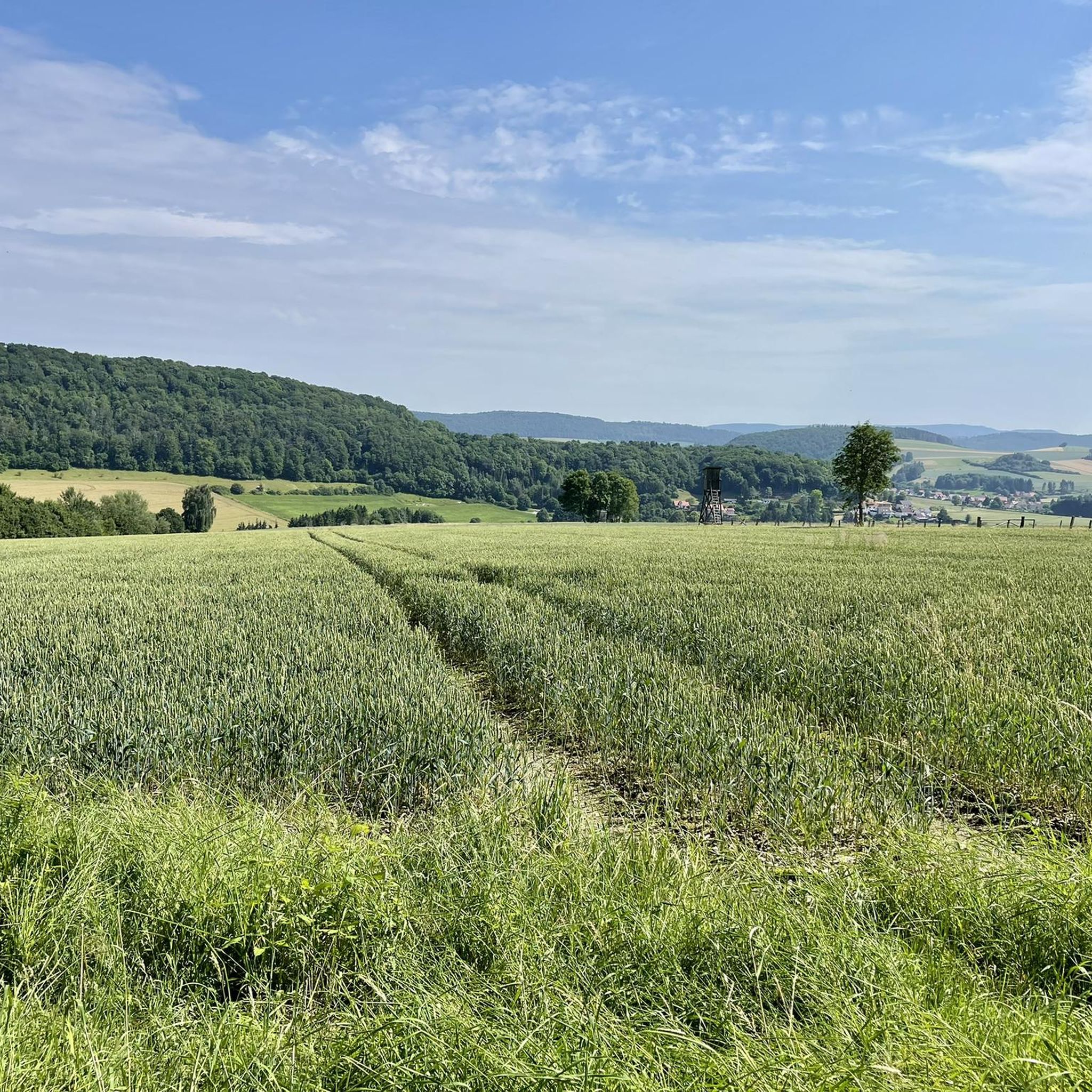
Gravel biking around Grünenplan offers diverse terrain within the forested Hils low mountain range in Lower Saxony, Germany. The region is characterized by gentle hills, extensive forests, and the meandering Weser River, providing varied elevation changes. Situated within the larger Weser Uplands and near the Solling-Vogler Nature Park, the area features a rich tapestry of landscapes ideal for exploration. The network of forest roads and service paths caters to gravel biking, steering away from main roads for an immersive experience.
…Last updated: October 20, 2026
4.1
(7)
14
riders
Moderate gravel ride. Good fitness required. Mostly paved surfaces. Suitable for all skill levels.
5.0
(1)
3
riders
Moderate gravel ride. Good fitness required. Mostly paved surfaces. Suitable for all skill levels.

4
riders
23.1km
01:38
330m
330m
Moderate gravel ride. Good fitness required. Mostly paved surfaces. Suitable for all skill levels.
5.0
(2)
12
riders
44.8km
02:53
540m
540m
Hard gravel ride. Very good fitness required. Mostly paved surfaces. Suitable for all skill levels.
4.7
(3)
4
riders
30.1km
02:20
480m
480m
Hard gravel ride. Very good fitness required. Mostly paved surfaces. Suitable for all skill levels.
Get access to more routes and recommendations from other explorers.
Already have an account?
Our route recommendations are based on thousands of hikes, rides, and runs completed by other people on komoot.
Start today with a free account
Your next adventure awaits.
Tips from the Community

Attention: Here the bike has to be pushed over a staircase with a steep ramp at both bridgeheads.
0
0

The Roter Fuchs hiking parking lot is located on the pass at the road between Holzen and Grünenplan. From here, many destinations in the Hils can be reached.
6
0
The monument to Johann Georg von Langen is located at a hiking parking lot. From here, the Hilskammweg trail is reached.
7
0
The cross dedicated to Saint Barbara stands at an old sandstone quarry.
6
0
The totem pole is quite an impressive piece. ☺️
6
0

This spot by the carved wooden post is also a nice resting place.
0
0

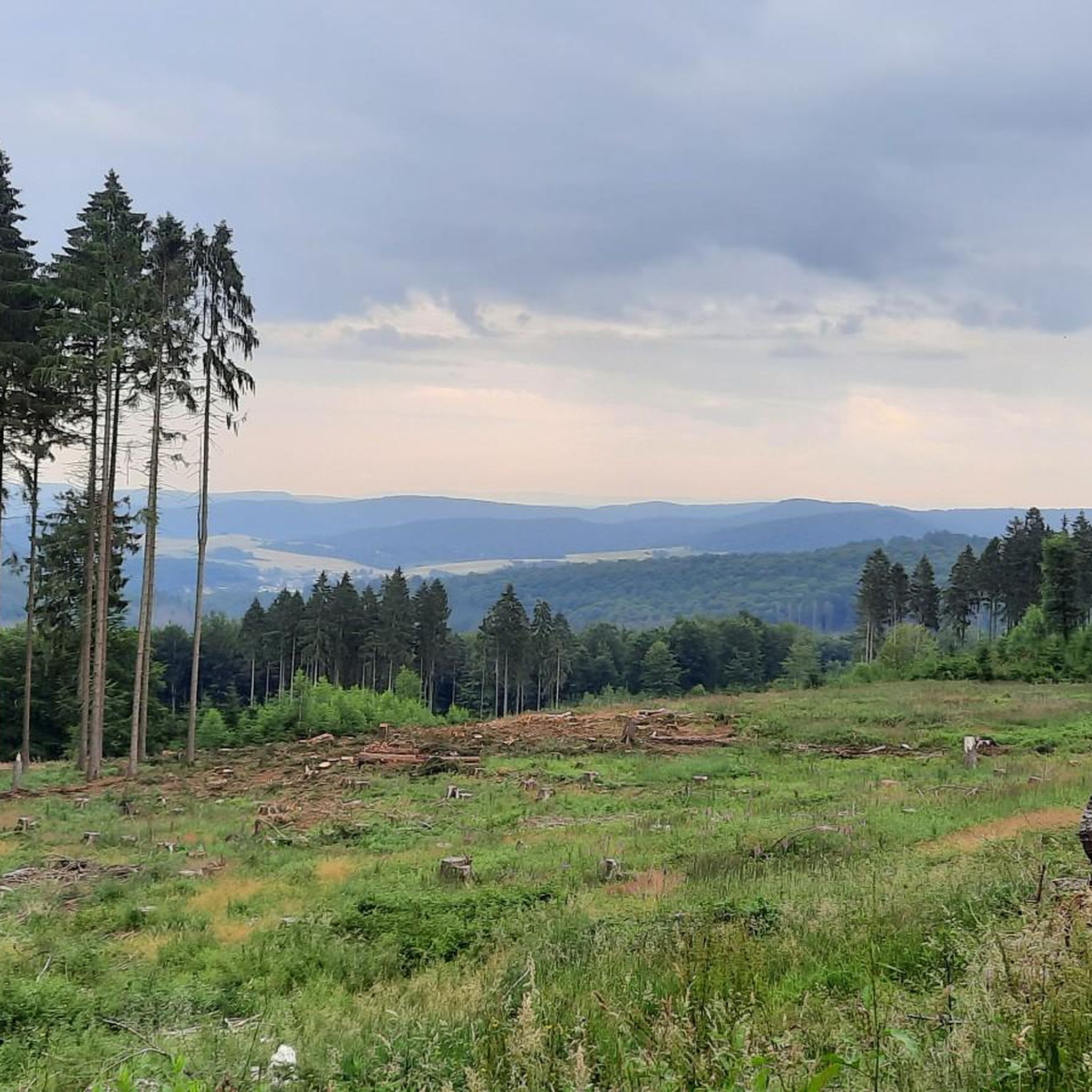
Simply a beautiful view (weather permitting :-))
0
0

A good starting point for a run in the Hils. The Kammweg trail runs right past here, and it's only a few hundred meters uphill to the Wilhelm Raabe Tower. The parking lot also offers connections to other destinations in the Hils via the Tanzbergweg, Von Langen Weg, and Promilleweg on the other side of the road. The parking lot has several information boards, a hiking map, and a rest area.
3
0
Frequently Asked Questions
How many gravel bike trails are available around Grünenplan?
Grünenplan offers nearly 40 gravel bike trails, catering to various skill levels. You'll find a mix of easy, moderate, and challenging routes, with 20 routes rated as moderate and 16 as difficult.
What kind of terrain can I expect on gravel bike trails near Grünenplan?
The region around Grünenplan, nestled in the Hils low mountain range and near the Solling-Vogler Nature Park, features diverse terrain. You'll encounter gentle hills, extensive forests, and riverside paths along the Weser River. Routes often utilize forest roads and service paths, providing varied elevation changes and natural bog areas, steering you away from main roads for an immersive experience.
Are there family-friendly gravel biking options around Grünenplan?
Yes, Grünenplan offers some routes suitable for families. For example, the Leine River near Brüggen – Laakedamm Cycle Path loop from Alfeld (Leine) is a moderate trail that follows the scenic Leine River, offering a relatively gentle ride. The area's characteristic gentle hills and extensive network of paths provide options for less strenuous outings.
What are some scenic viewpoints or attractions I can visit while gravel biking?
The region boasts several rewarding vistas. The Ebersnacken Tower within the Solling-Vogler Nature Park provides expansive panoramic views. While not directly on a gravel route, the Wilhelm Raabe Tower on the Großer Sohl also offers impressive views of the Weser and Leinebergland. Additionally, you might encounter the Hilskamm Trail, which offers views of the surrounding landscape.
What is the best time of year for gravel biking in Grünenplan?
The extensive forests and low mountain range make Grünenplan enjoyable for gravel biking across multiple seasons. Spring and autumn offer pleasant temperatures and beautiful foliage, while summer provides longer daylight hours. Even winter can be an option, though trail conditions might vary, especially in natural bog areas or after snowfall.
Where can I find parking for gravel bike trails in Grünenplan?
While specific parking spots aren't detailed for every trail, Grünenplan and surrounding towns like Kaierde or Ammensen typically offer public parking facilities. Look for designated parking areas near trailheads or in village centers, especially when starting a circular route.
Is it possible to reach Grünenplan's gravel trails by public transport with a bike?
Public transport options in rural areas like Grünenplan can be limited, and policies for carrying bicycles vary by operator and type of transport (bus, regional train). It's advisable to check the specific public transport provider's regulations regarding bicycle carriage in advance if you plan to use this option.
Are there any challenging gravel bike routes for experienced riders?
Yes, Grünenplan offers challenging routes with significant elevation gain. For instance, the View of Ammensen – Hilskamm Trail Signpost loop from Ammensen is a difficult 44.8 km trail leading through the Hils low mountain range, featuring considerable climbs and descents.
What do other gravel bikers enjoy most about gravel biking in Grünenplan?
The komoot community highly rates the gravel biking experience in Grünenplan, with an average score of 4.4 stars from over 10 reviews. Riders often praise the diverse terrain, the immersive experience away from main roads, and the scenic beauty of the Hils low mountain range and Solling-Vogler Nature Park.
Can I bring my dog on gravel bike trails in Grünenplan?
Generally, dogs are welcome on trails in the Grünenplan region, especially within the Solling-Vogler Nature Park, provided they are kept on a leash. This helps protect wildlife and ensures a pleasant experience for all trail users. Always be mindful of local signage regarding dog regulations.
Are there any circular gravel bike routes available?
Yes, many of the gravel bike routes around Grünenplan are designed as circular loops, allowing you to start and end at the same point. The Solling-Vogler Nature Park itself features 15 individual circular routes ranging from 22 to 60 km, many of which are suitable for gravel biking. An example is the View of Grünenplan – Roter Fuchs Pass loop from Delligsen.
Are there places to eat or stay that are bike-friendly in Grünenplan?
Grünenplan and the surrounding villages offer various cafes, pubs, and accommodations. While specific 'bike-friendly' certifications might not be widespread, many establishments in outdoor-focused regions are accustomed to welcoming cyclists. It's always a good idea to check in advance for facilities like secure bike storage or specific services for bikers.
Most popular attractions around Grünenplan

Get inspired with the komoot mobile app


Explore more
Browse the best Gravel rides in other regions.
