The best gravel rides around Weitersfelden
4.5
(6)
34
riders
8
rides
Gravel biking around Weitersfelden offers a network of routes through the Mühlviertel region, characterized by rolling hills, dense forests, and open agricultural landscapes. The terrain includes varied surfaces, from gravel paths to forest roads, providing diverse conditions for gravel cyclists. Elevations are moderate, with some routes featuring sustained climbs and descents.
Best gravel bike trails around Weitersfelden
- The most popular gravel bike trail is Rubner Pond in the Tannermoor – Rubenerteich loop from Amesreith, a 36.6 miles (58.9 km)…
Last updated: July 2, 2026
6
riders
67.4km
04:40
1,230m
1,230m
Hard gravel ride. Very good fitness required. Mostly paved surfaces. Suitable for all skill levels.
4.0
(3)
7
riders
58.9km
04:06
1,130m
1,130m
Hard gravel ride. Very good fitness required. Mostly paved surfaces. Suitable for all skill levels.

Sign up for free
4.0
(1)
5
riders
57.5km
04:03
1,120m
1,110m
Hard gravel ride. Very good fitness required. Mostly paved surfaces. Suitable for all skill levels.
5.0
(1)
3
riders
23.5km
01:52
510m
510m
Hard gravel ride. Very good fitness required. Mostly paved surfaces. Suitable for all skill levels.
2
riders
22.3km
01:56
620m
620m
Hard gravel ride. Very good fitness required. Mostly paved surfaces. Suitable for all skill levels.
Get access to more routes and recommendations from other explorers.
Sign up for free
Already have an account?
Our route recommendations are based on thousands of hikes, rides, and runs completed by other people on komoot.
Start today with a free account
Your next adventure awaits.
Login or Signup
Popular around Weitersfelden
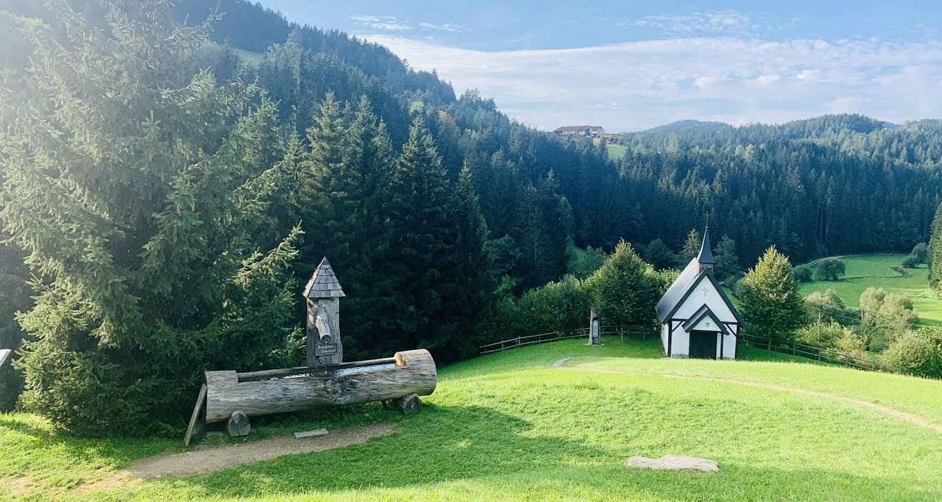
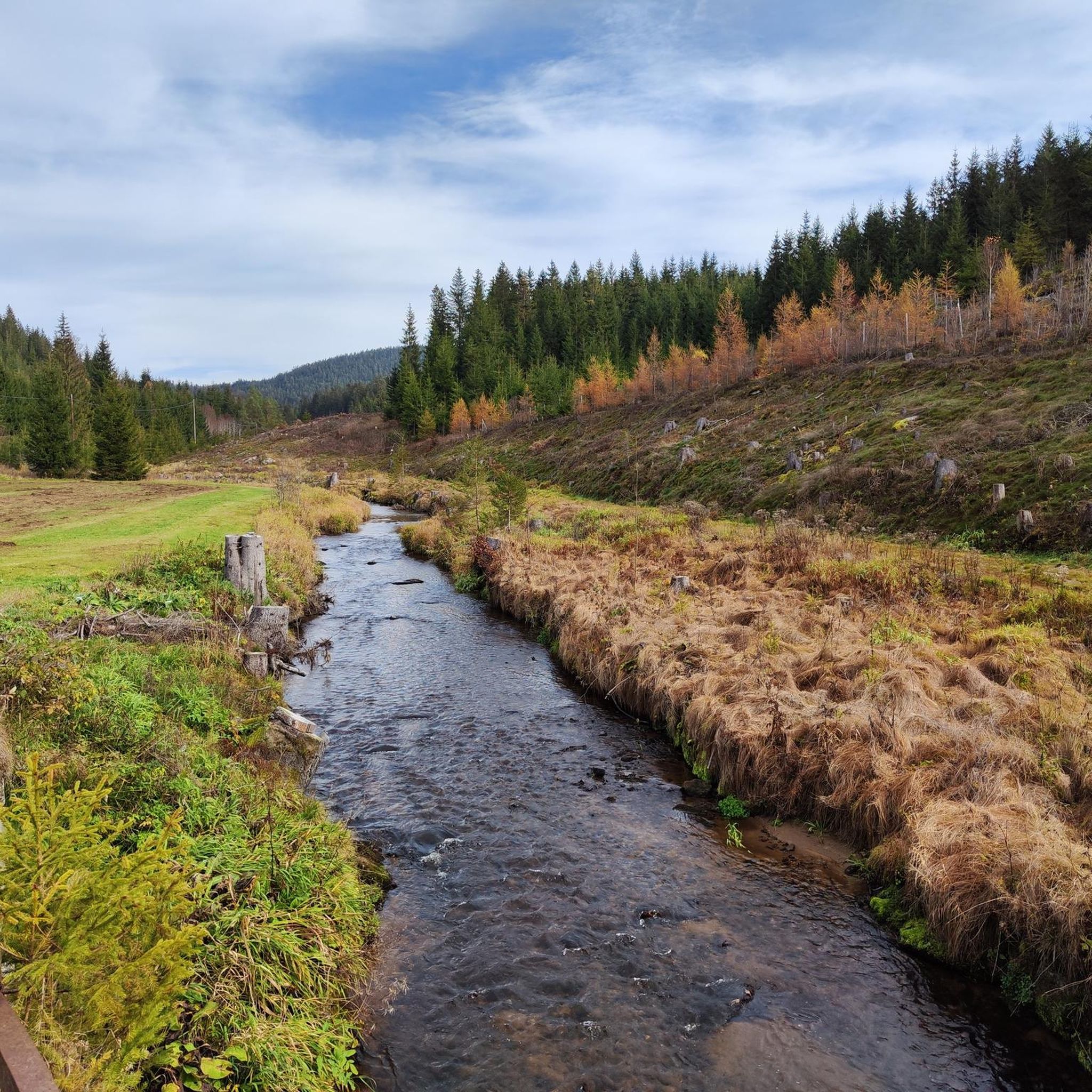
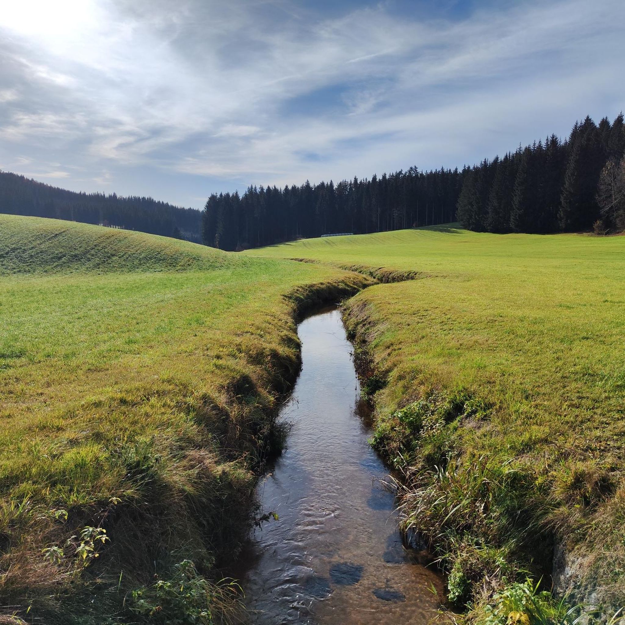

Other adventures around Weitersfelden

Tips from the Community


Very nice hut. Lovely terrace. Very good food. Nearby summit with beautiful viewing platforms.
0
0

Moving relics from the history of the Iron Curtain
0
0

Access to the hut by bike. Gravelly descent with many cross-watercourses.
0
0

They only serve small meals, but they're open throughout the entire opening hours. Right at the back, near the trees under the parking lot, it's pleasantly cool even on hot days 😅
0
0
On the somewhat more challenging off-road descent from Schreineredt to Salchenedt, you can enjoy this beautiful view all the way to Königswiesen with the Hansenberg behind it
0
0
Frequently Asked Questions
How many gravel bike trails are there around Weitersfelden?
Weitersfelden offers a selection of 12 gravel bike trails. The majority, 9 routes, are considered difficult, while 3 are moderate. There are no easy routes listed in this guide.
Are there any family-friendly gravel bike routes in Weitersfelden?
While most routes around Weitersfelden are rated as difficult, there are a few moderate options that might be suitable for families with older, experienced riders. For example, the Covered rest area – Baron's Bridge loop from Stodůlecký vrch is a moderate 16.3-mile (26.2 km) trail through forested areas.
What are the typical lengths of gravel bike trails in the Weitersfelden area?
Gravel bike trails around Weitersfelden vary significantly in length. You'll find routes ranging from moderate 16.3-mile (26.2 km) loops to challenging long-distance rides like the Hirschenwies border crossing – Forest Border Crossing loop from Schloss Rosenhof, which covers 41.9 miles (67.4 km).
What kind of terrain can I expect on gravel bike trails near Weitersfelden?
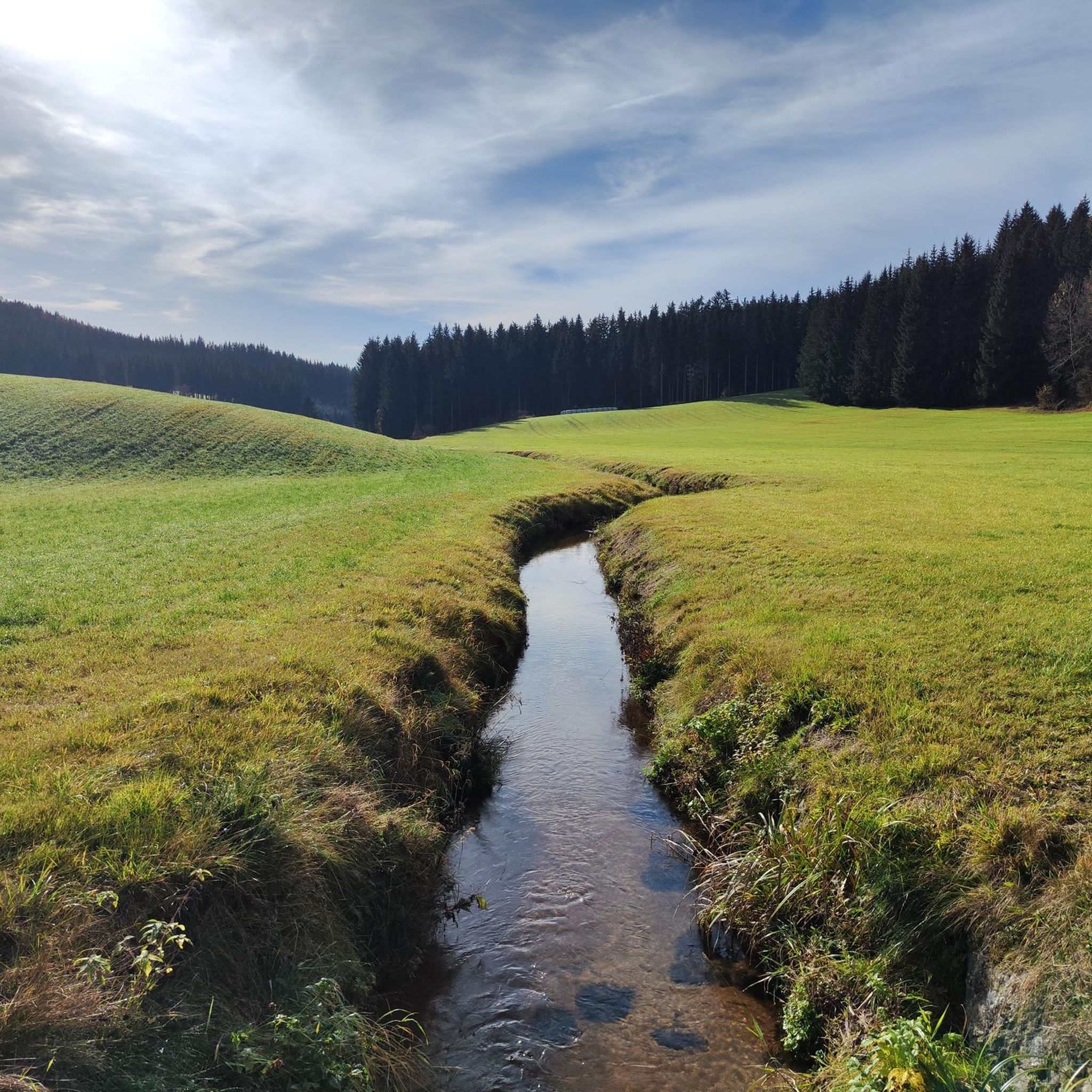
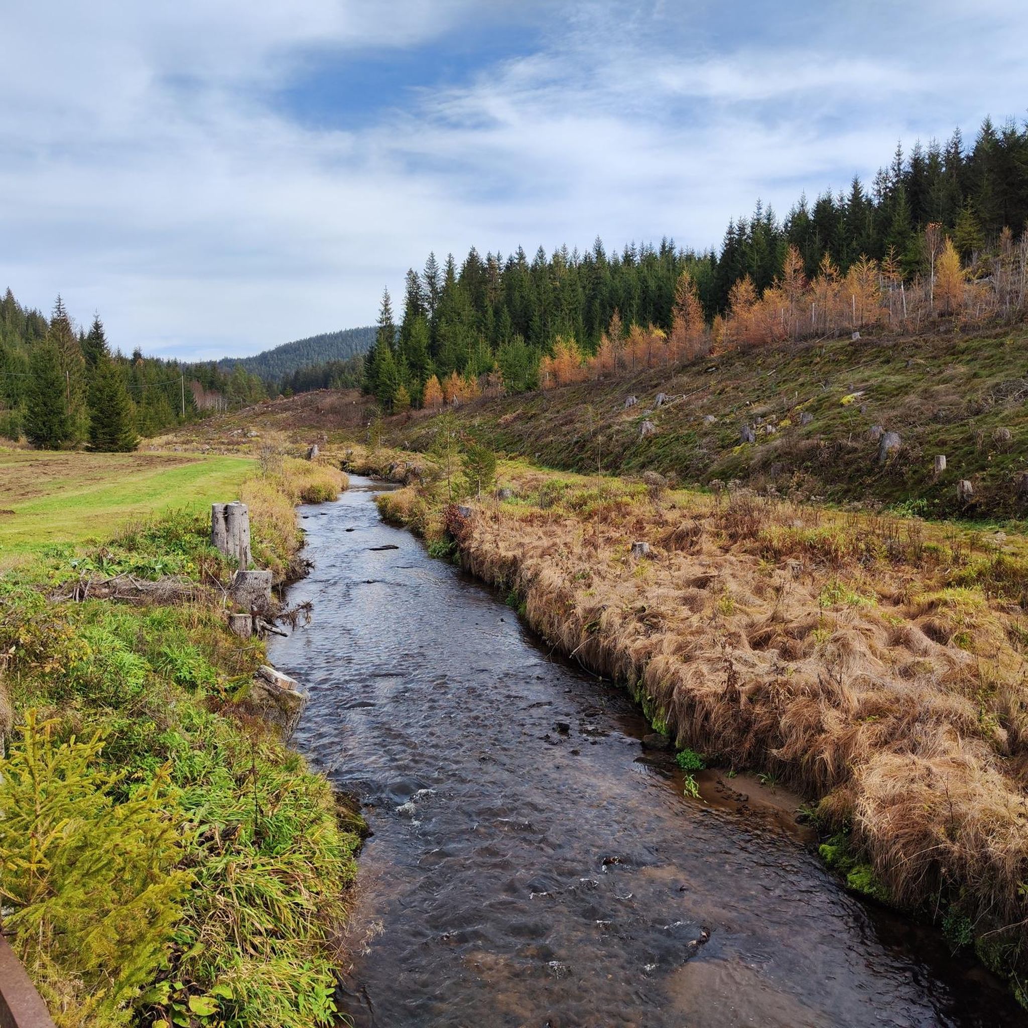
The terrain around Weitersfelden is characterized by rolling hills, dense forests, and open agricultural landscapes typical of the Mühlviertel region. You'll encounter varied surfaces, including gravel paths and forest roads, with moderate to sustained climbs and descents.
Are there any scenic viewpoints or natural attractions along the gravel bike routes?
Yes, the region offers several scenic spots. You can find highlights like the Hoh-Haus at Buchberg Observation Tower for panoramic views, or the tranquil Rubner Pond in the Tannermoor. Many routes also pass through extensive forest sections, offering natural beauty.
What is the best time of year for gravel biking in Weitersfelden?
The best time for gravel biking in Weitersfelden is generally from spring through autumn when the weather is milder and trails are dry. The region's forested hills and open fields are particularly beautiful during these seasons. Winter riding can be challenging due to snow and ice, especially on higher elevations and forest roads.
Are there any challenging gravel bike trails for experienced riders?
Absolutely. Weitersfelden is known for its challenging routes. The Rubner Pond in the Tannermoor – Rubenerteich loop from Amesreith is a difficult 36.6-mile (58.9 km) trail with significant elevation changes, perfect for experienced gravel bikers seeking a demanding ride.
Are there any loop gravel bike trails available?
Yes, many of the gravel bike trails around Weitersfelden are designed as loops, allowing you to start and end at the same point. Examples include the Forellenwirt Mühlviertel – Viewpoint St. Michael loop from St. Oswald bei Freistadt, which offers a circular journey through the landscape.
What do other gravel bikers enjoy the most about gravel biking in Weitersfelden?
The area is highly rated by the komoot community, with an average score of 4.7 stars. Reviewers often praise the diverse terrain, the quiet forested sections, and the challenging nature of the routes, which provide a rewarding experience for gravel cyclists.
Are there any historical landmarks or castles to see near the trails?
Yes, the region has historical points of interest. You can explore the Prandegg Castle Ruins and Tavern, which offers a glimpse into the area's past. Some routes may pass near such landmarks, providing cultural stops during your ride.
Where can I find parking for gravel biking in Weitersfelden?
Specific parking information is usually detailed on individual tour pages. Generally, you can look for public parking areas in Weitersfelden or at the starting points of the routes, such as near Amesreith or St. Oswald bei Freistadt, depending on your chosen trail.
Are there any huts or shelters along the gravel bike routes for a break?
Yes, you can find several huts and shelters in the vicinity. Notable spots include the Braunberg Hut and the Ruttenstein Shelter, which can provide a welcome break during your ride.
Most popular routes around Weitersfelden
Most popular attractions around Weitersfelden

Get inspired with the komoot mobile app


Explore more
Browse the best Gravel rides in other regions.
