The best road cycling routes in Mount Holyoke Range State Park
3.5
(30)
1,237
riders
197
rides
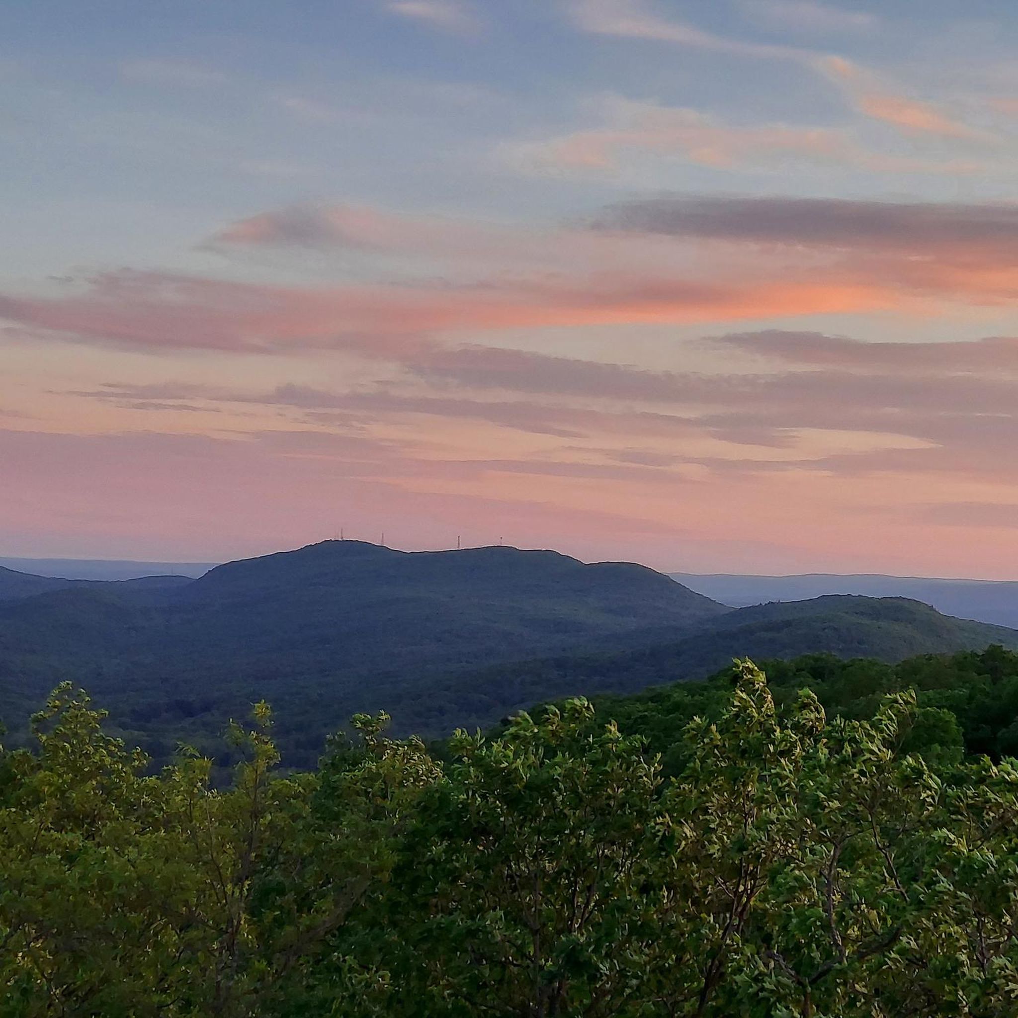
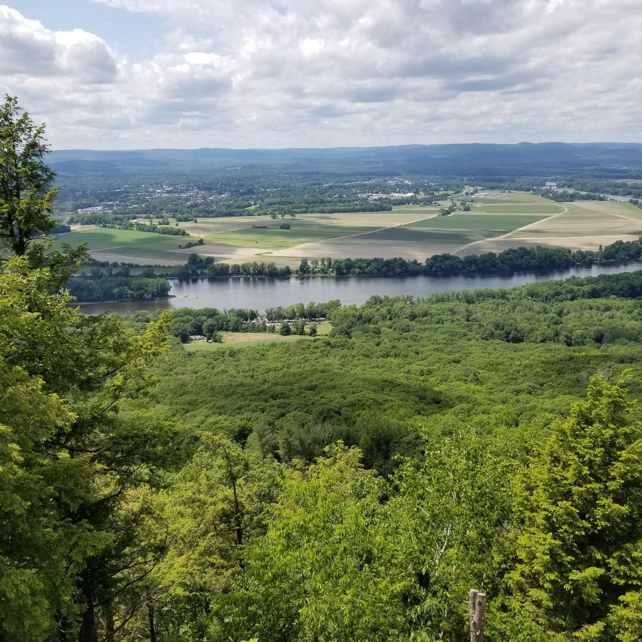
Road cycling routes in Mount Holyoke Range State Park traverse a unique 7-mile east-west trending mountain ridgeline within the Pioneer Valley of Massachusetts. The park's landscape features distinctive tilted ledges of basalt and varied ecosystems, including streams, wetlands, and oak-conifer forests. Cyclists can encounter both well-paved surfaces and challenging ascents, such as the climb to Mount Holyoke's peak. The region offers panoramic views of the valley, particularly from higher elevations.
Best road cycling routes in Mount Holyoke Range State Park
…Last updated: July 16, 2026
4
riders
Easy road ride. Great for any fitness level. Mostly well-paved surfaces and easy to ride.
5
riders
30.1km
01:23
300m
300m
Easy road ride. Great for any fitness level. Mostly well-paved surfaces and easy to ride.

Sign up for free
6
riders
31.1km
01:27
260m
260m
Easy road ride. Great for any fitness level. Mostly well-paved surfaces and easy to ride.
1.0
(1)
5
riders
Moderate road ride. Good fitness required. Mostly well-paved surfaces and easy to ride.
3
riders
Easy road ride. Great for any fitness level. Mostly well-paved surfaces and easy to ride.
Get access to more routes and recommendations from other explorers.
Sign up for free
Already have an account?
Our route recommendations are based on thousands of hikes, rides, and runs completed by other people on komoot.
Start today with a free account
Your next adventure awaits.
Login or Signup


Tips from the Community

great paved foot/cycle path.
0
0

With forests, brooks, swamps, meadows, and wetlands, the Topping Farm Conservation Area really is a haven for the plants and animals that call the property their home. A few different paved roads wind around the area and offer views of the nature preserve from the roadside.
0
0

This section of the rail trail, from the top of the hill in Amherst to the end of the trail in Belchertown, includes this crossing of the fort river and goes through a lot of beautiful wetlands
0
0
This bridge along the Norwottuck Rail Trail crosses the Fort River and offers great views of the waterway.
0
0
With forests, brooks, swamps, meadows, and wetlands, the Topping Farm Conservation Area really is a haven for the plants and animals that call the property their home. A few different paved roads wind around the area and offer views of the nature preserve from the roadside.
0
0

The Norwottuck Rail Trail is a part of an extensive network of connecting multi-use paths connecting the towns of Amherst, Belchertown, Easthampton, Florence, Hadley, Southampton, and Williamsburg. This section of Norwottuck Rail Trail is the southernmost section in South Amherst where it ends at Warren Wright Road. This is a great section of trail where you pass through pine and oak forests, wetlands, and can glimpse some of the local mountains through the trees. You might also catch a glance at a train that runs on an adjacent railroad.
0
0
The Botanic Garden of Smith College is a beautiful place to visit when in Northampton. Located on the historic campus of Smith College, a private liberal arts women's college, the botanical gardens feature indoor and outdoor exhibits that are open to the public. The outdoor sections of the garden features the Systematics Garden and Perennial Border gardens where beds are arranged according to evolutionary relationships, which facilitate learning for the students. There is also a Rock Garden which features 2,000 alpine, dwarf, and woodland plants. Adjacent to these outdoor gardens is the Lyman Plant House, a magnificent greenhouse that was built in 1895 and houses rare plants in several sub-houses and sections.
0
0

Located between Easthampton & Northampton on the Connecticut River floodplain, Arcadia Wildlife Sanctuary is an important habitat for countless species. The Manhan Rail Trail passes along the edges of the park and is a great way to access the sanctuary by bike.
0
0
Frequently Asked Questions
What kind of road cycling routes can I expect in Mount Holyoke Range State Park?
Mount Holyoke Range State Park offers a diverse range of road cycling experiences. You'll find routes traversing a unique 7-mile east-west trending mountain ridgeline, with sections on well-paved surfaces and others featuring challenging ascents. The landscape includes distinctive tilted ledges of basalt and varied ecosystems, providing both scenic beauty and varied terrain.
How many road cycling routes are available in Mount Holyoke Range State Park?
There are over 200 road cycling routes available in Mount Holyoke Range State Park, catering to various skill levels. This includes approximately 70 easy routes, 120 moderate routes, and 18 more difficult options for experienced cyclists.
Are there challenging climbs for experienced road cyclists?
Yes, experienced road cyclists will find challenging climbs. A notable ascent is the road to the peak of Mount Holyoke, which is 1.8 miles long with an average grade of 8.1% and sections reaching 12.2%. This climb rewards cyclists with amazing panoramic views. The road to the peak is typically open from Memorial Day through Columbus Day.
Are there easy or family-friendly road cycling options?
Absolutely. For easier rides, consider routes like the Norwottuck Rail Trail Bridge loop, which is an 18-mile (29 km) trail leading through the Norwottuck Rail Trail area. This route is generally flat and suitable for a more relaxed pace, making it a good option for families or beginners.
What scenic views can I expect while road cycling?
The park offers spectacular panoramic views of the Pioneer Valley, especially from higher elevations like the summit of Mount Holyoke. The region is particularly stunning during the New England fall foliage season, which typically peaks around mid-October, transforming the landscape into vibrant colors.
Are there any notable landmarks or attractions along the routes?
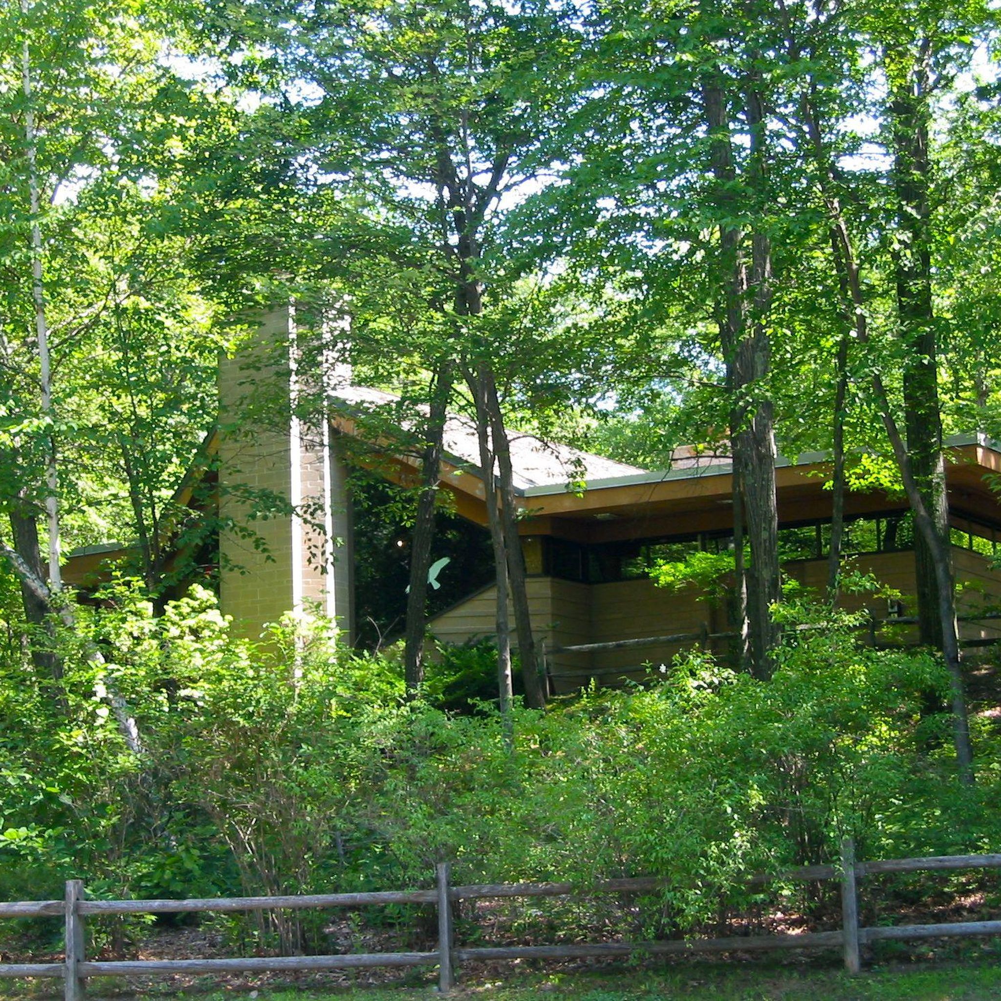
Yes, several interesting landmarks and natural features enhance the cycling experience. You can visit the Notch Visitor's Center for trail information, or explore the fascinating Horse Caves, a series of ledges and alcoves. The historic Holyoke Summit House is also located at the end of a popular trail, offering a glimpse into the past.
Can I spot wildlife while cycling in Mount Holyoke Range State Park?
The park's diverse ecosystems, including streams, wetlands, and oak-conifer forests, support a wide array of wildlife. It's recognized as an Important Bird Area, serving as a crucial stopover point for migratory hawks and other bird species. While cycling, you might encounter various birds and other small animals, especially in quieter sections of the routes.
What is the best time of year for road cycling in Mount Holyoke Range State Park?
The best time for road cycling is generally from late spring through early fall. The road to Mount Holyoke's peak is open from Memorial Day through Columbus Day. Mid-October is particularly popular for experiencing the vibrant fall foliage. Always check local conditions, as winter can bring snow and ice, making some routes impassable.
Are there places to eat or get refreshments near the cycling routes?
While the park itself focuses on natural experiences, the surrounding Pioneer Valley area offers various cafes and restaurants. The Notch Visitor Center can provide local information, and nearby towns like Amherst and South Hadley have options for refreshments and meals to refuel after your ride.
How can I access Mount Holyoke Range State Park by public transport for cycling?
Public transport options to the park are limited. It is generally recommended to access the park by car, especially if you are bringing your own bicycle. Some local bus services might operate in the broader Pioneer Valley area, but direct access to trailheads with bikes might require additional planning. Checking local transit authority websites for specific routes and bike policies is advisable.
Is there parking available for road cyclists?
Yes, parking is available at various access points and trailheads around Mount Holyoke Range State Park, including near the Notch Visitor Center. These parking areas provide convenient starting points for many of the road cycling routes. Always check for any specific parking regulations or fees upon arrival.
Are there circular road cycling routes in the area?
Many of the road cycling routes in Mount Holyoke Range State Park are designed as loops, allowing you to start and end at the same point. For example, the Fort River Bridge – Topping Farm Conservation Area loop is a popular 25.5-mile (41.1 km) circular route. The Notch Visitor's Center – Mount Holyoke Summit View loop is another excellent moderate option.
What do other road cyclists say about the routes in Mount Holyoke Range State Park?
The road cycling routes in Mount Holyoke Range State Park are highly rated by the komoot community, with an average score of 3.5 stars from over 20 reviews. Cyclists often praise the varied terrain, the stunning panoramic views, and the opportunity to explore the unique natural features of the Pioneer Valley.
Most popular routes in Mount Holyoke Range State Park
Most popular attractions in Mount Holyoke Range State Park

Get inspired with the komoot mobile app


Explore more
Browse the best Road cycling routes in other regions.
