The best running trails in Almaden Quicksilver County Park
5.0
(1)
190
runners
18
runs
Jogging in Almaden Quicksilver County Park offers an extensive network of routes across more than 4,000 acres. The region is characterized by rolling grassy hills, cool forests, open meadows, and deep valleys, with elevations ranging from under 600 feet to over 1,700 feet. This varied terrain includes both wide fire roads and some singletrack options, providing diverse experiences for runners. The park's landscape features panoramic views of San Jose, the Almaden Valley, and the Sierra Azul Mountains.
Best jogging routes…
Last updated: August 17, 2026
4.0
(1)
20
runners
22.3km
02:48
580m
580m
Embark on the New Almaden and Guadalupe Trail Loop, a difficult jogging route spanning 13.9 miles (22.3 km) with a significant elevation gain of 1907 feet (581 metres). You can…
13
runners
4.21km
00:31
170m
170m
If you are looking for a moderate jogging route that offers a good workout, the Hacienda and Virl O. Norton Trail Loop is an excellent choice. This 2.6-mile (4.2 km)…

Sign up for free
11
runners
8.84km
01:10
280m
280m
Jog the moderate 5.5-mile New Almaden and Randol Trail Loop, gaining 922 feet with views of San Jose and historical mine sites.
4
runners
18.8km
02:14
660m
660m
Mount El Sombroso via Woods Trail is a difficult 11.7-mile jogging route with 2157 feet of elevation gain in Sierra Azul Open Space Preserve
3
runners
5.83km
00:43
270m
270m
Jog the 3.6-mile Deep Gulch and English Camp Loop for a moderate workout with historical sites and expansive views in Almaden Quicksilver Co
Get access to more routes and recommendations from other explorers.
Sign up for free
Already have an account?
Our route recommendations are based on thousands of hikes, rides, and runs completed by other people on komoot.
Start today with a free account
Your next adventure awaits.
Login or Signup
Tips from the Community

The Senador Mine Trail offers a glimpse into California’s mining history, weaving through lush forests and serene landscapes. This moderate trail features peaceful surroundings and remnants of old mining operations, perfect for history and nature enthusiasts alike.
0
0

When the cinnabar (mercury ore) mines at Quicksilver Park were active in the late 19th and early 20th centuries, English Camp housed around 1,000 residents, primarily consisting of Cornish miners and their families. Today, only a few remnants of structures remain. There are some lovely picnic tables here, making it an ideal spot to stop for lunch and take some memorable photos.
0
0

English Camp was originally established to accommodate English-speaking miners during their tenure at the nearby mine. At that time, renting an entire house along with the grounds would set you back a mere $5 to $10 per month. Presently, the trails encircling the camp offer fantastic opportunities for mountain biking.
1
0

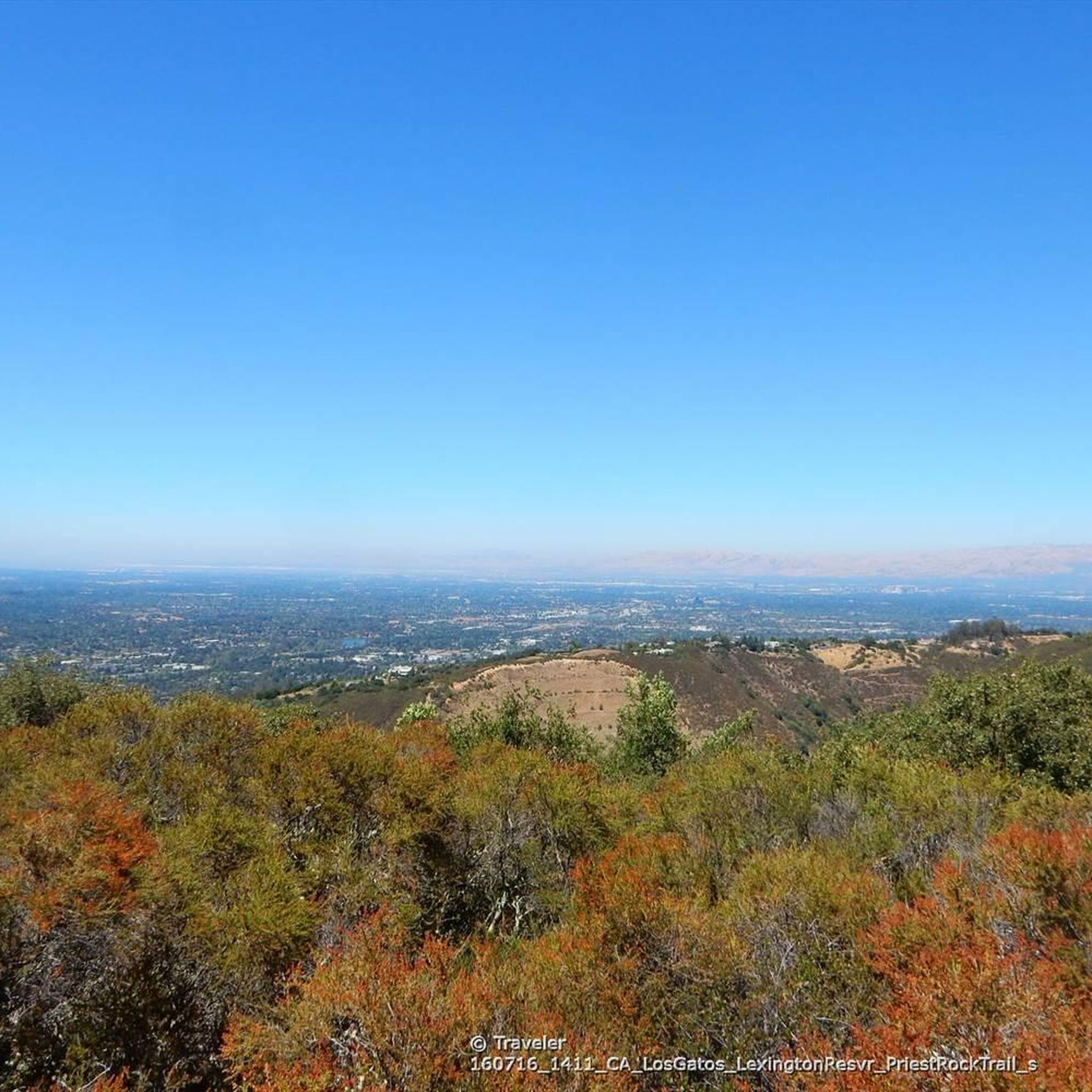
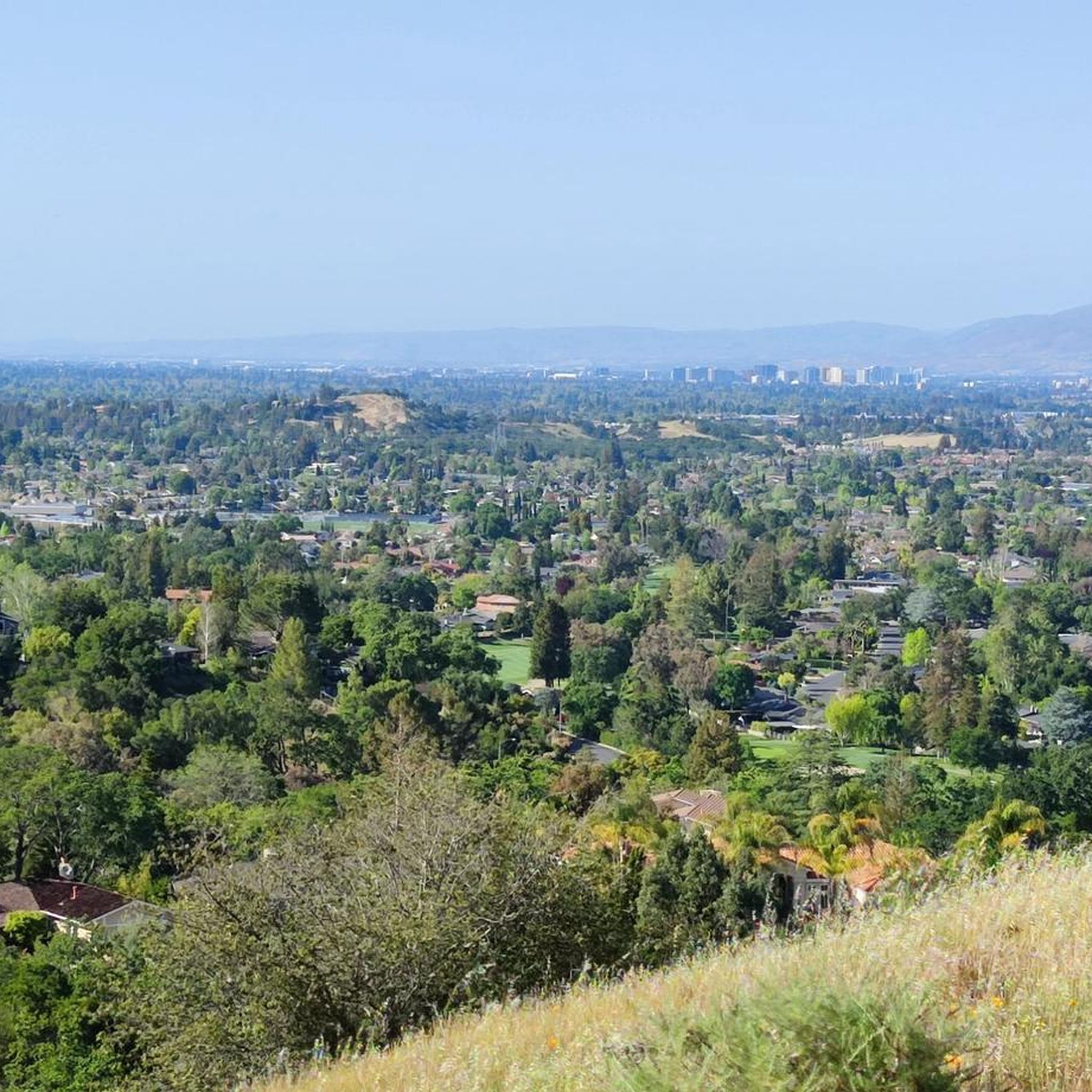
At the top of Prospect #3 Trail, there is a stunning picnic spot to take a break and really soak in the views overlooking San Jose and the mountains across the valley.
0
0
Hacienda Trail, when combined with Norton Trail, makes for a fun off-road option. The first half of the run/hike is steeper and provides more of a challenge, with the second half being easier. There are great views of the city and surrounding mountains near the peak of the trail.
0
0
English Camp was developed for English-speaking miners to live while they worked in the near-by mine. Back then, you could rent an entire house and the grounds for $5-$10 per month. In today's dollars, that is $130-$280. The trails surrounding the camp today are great for trail running and dog friendly.
0
0

This is the highest point in the Sierra Azul Open Space Preserve. From here, you can enjoy views of the nearby mountains, with the possibility of spotting Mount Umunhum and Mount Thayer. The ascent involves a consistent elevation gain, providing a steady and rewarding experience.
2
0
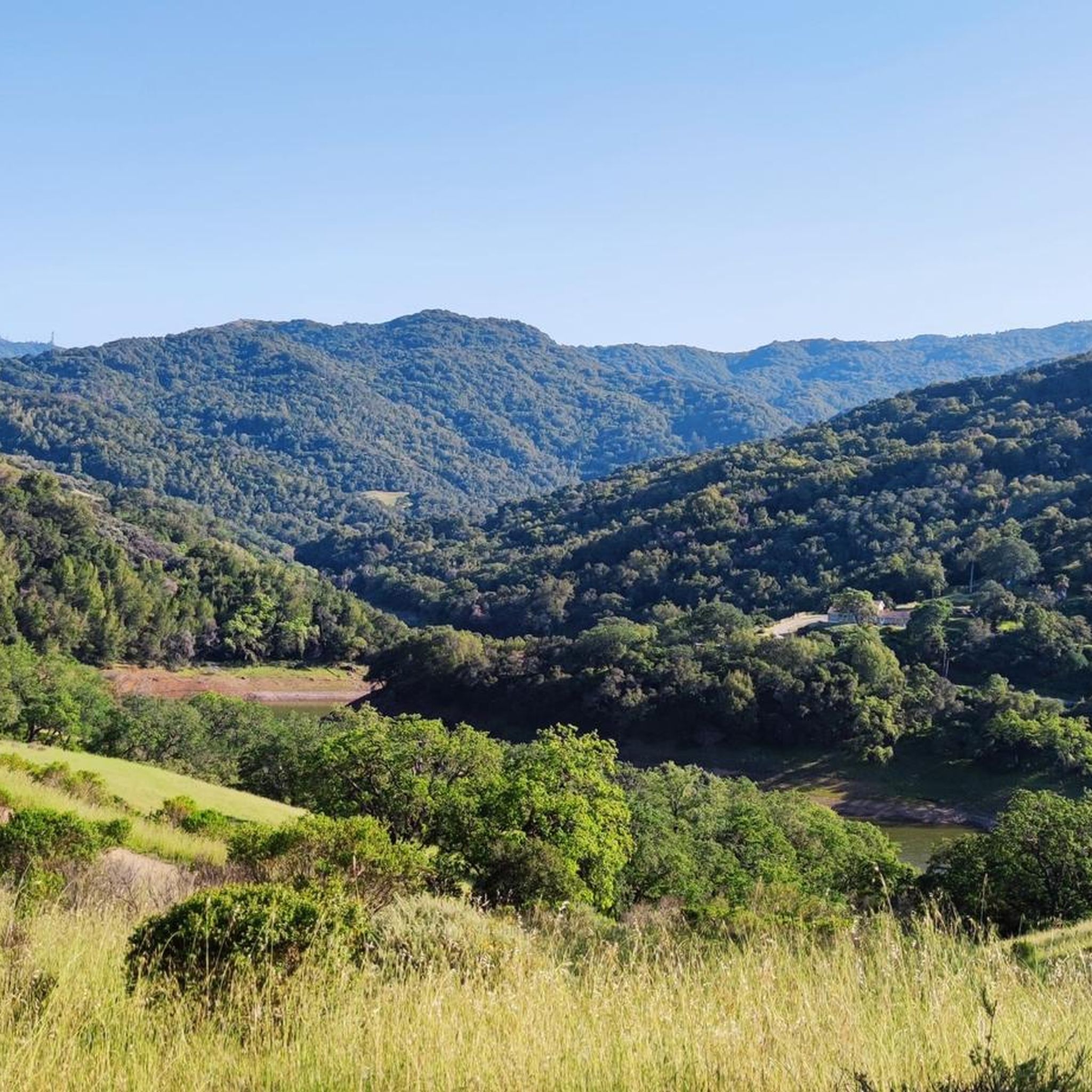
At the junction of Senador Trail and Mine Hill, a delightful park bench awaits, providing you with stunning views of the park's picturesque rolling hills.
1
0
Frequently Asked Questions
How many running routes are available in Almaden Quicksilver County Park?
Almaden Quicksilver County Park offers over 20 dedicated running routes. These routes vary in difficulty, with 9 moderate and 11 challenging options, ensuring a diverse experience for all runners.
Are there any easy jogging routes for beginners in Almaden Quicksilver County Park?
While there are no routes officially classified as 'easy' in our guide, many of the park's trails, particularly the wider fire roads, can be adapted for a more relaxed pace. The park's varied terrain allows you to choose sections that suit your fitness level. For a moderate option, consider the Hacienda and Virl O. Norton Trail Loop, which is 4.2 km long with a manageable elevation gain.
What kind of terrain can I expect on the running trails in Almaden Quicksilver County Park?
The park features a diverse mix of terrain, including rolling grassy hills, cool forests, open meadows, and deep valleys. You'll find extensive fire roads, which are wide and generally smooth, ideal for jogging. There are also some singletrack options, offering a more technical experience. Elevations range significantly, from under 600 feet to over 1,700 feet, providing options from gentle inclines to challenging ascents.
Are dogs allowed on the running routes in Almaden Quicksilver County Park?
Yes, dogs on leash are welcome on all trails throughout Almaden Quicksilver County Park. It's a great place to enjoy a run with your canine companion.
Are there any family-friendly running trails in Almaden Quicksilver County Park?
Many of the park's wider fire roads are suitable for families, offering generally smooth surfaces. While specific 'family-friendly' routes aren't explicitly categorized, shorter, moderate loops like the Hacienda and Virl O. Norton Trail Loop (4.2 km) can be a good starting point for families looking for a less strenuous outing.
What historical sites or points of interest can I see while running in the park?
Almaden Quicksilver County Park is rich in history, preserving the grounds of former mercury mines. You can discover remnants of the mining era, including old structures and sealed mine tunnels. Notable historical attractions include the New Almaden Quicksilver Mining Museum and the entrance to the San Cristobal mine. The New Almaden and Randol Trail Loop is a great option for combining running with historical exploration.
What are the best times of year to go running in Almaden Quicksilver County Park?
The park is an enjoyable year-round destination due to its temperate winter weather. Spring is particularly vibrant, with meadows full of native wildflowers. However, many trails are exposed to the sun, so summer runs can be hot. Early mornings or late afternoons are recommended during warmer months.
Are there any challenging long-distance running routes in Almaden Quicksilver County Park?
Yes, the park offers several challenging long-distance routes. For a strenuous run with significant elevation gain, consider the New Almaden and Guadalupe Trail Loop, which spans 22.3 km with over 580 meters of ascent. Another demanding option is the Mount El Sombroso via Woods Trail, covering 18.8 km with over 650 meters of climbing.
What kind of views can I expect along the running trails?
Runners can enjoy panoramic views of San Jose, the Almaden Valley, and the Sierra Azul Mountains, including Mount Umunhum. The Guadalupe Reservoir Vista offers stunning scenery, and you'll also catch glimpses of the Guadalupe Reservoir itself. The varied terrain ensures diverse scenic backdrops throughout your run.
Are there loop trails available for running in Almaden Quicksilver County Park?
Yes, many of the park's running routes are designed as loops, allowing you to start and finish at the same point without retracing your steps. Examples include the Deep Gulch and English Camp Loop (5.8 km) and the New Almaden and Randol Trail Loop (8.8 km).
What amenities are available at the park entrances for runners?
Multiple park entrances, such as Hacienda and Mockingbird Hill, offer convenient amenities for runners. These typically include restrooms, water fountains, and picnic tables, making it easy to prepare for your run or relax afterward.
What do other runners say about jogging in Almaden Quicksilver County Park?
The running routes in Almaden Quicksilver County Park are highly rated by the komoot community, with an average score of 4.0 stars from over 320 runners. Reviewers often praise the park's extensive trail network, diverse terrain, and the beautiful panoramic views it offers.
Most popular routes in Almaden Quicksilver County Park
Most popular attractions in Almaden Quicksilver County Park

Get inspired with the komoot mobile app


Explore more
Browse the best Running Trails & Routes in other regions.
