The best road cycling routes in Almaden Quicksilver County Park
4.7
(148)
4,214
riders
110
rides
Road cycling in Almaden Quicksilver County Park features varied terrain, including significant elevation changes and routes connecting to nearby county parks and reservoirs. The park encompasses steep hillsides, forests, open meadows, and deep valleys, providing diverse landscapes for cyclists. The region is characterized by its hilly landscape, offering challenging climbs and descents, along with views of the Santa Clara Valley and Mt. Umunhum. Road cyclists can expect routes that traverse through areas with scenic reservoirs and historical mining relics.
Best road cycling routes in Almaden Quicksilver County Park
- The most popular road cycling route is Mount Umunhum – Mount Umunhum loop from Almaden Valley, a 26.9 miles (43.3 km) trail that takes 2 hours 38 minutes to complete. This difficult route features substantial elevation gain around Mount Umunhum.
- Another top favourite among local road cyclists is Calero County Park to Uvas Canyon County Park loop, a moderate 39.7 miles (63.9 km) path. This route connects two county parks, offering a longer ride through diverse landscapes.
- Local road cyclists also love the Calero County Park to Uvas Reservoir loop, a 55.1 miles (88.7 km) trail leading through varied terrain, often completed in about 3 hours 55 minutes.
- Road cycling in Almaden Quicksilver County Park is defined by significant elevation changes, scenic reservoirs, and connections to adjacent parklands. The network offers options for different ability levels, from moderate to difficult.
- The routes in Almaden Quicksilver County Park are highly rated by the komoot community with an average score of 4.7 stars from over 149 reviews. More than 4000 road cyclists have used komoot to explore Almaden Quicksilver County Park's varied terrain.
Last updated: August 25, 2026
5.0
(5)
54
riders
Moderate road ride. Good fitness required. Some segments of this route may be unpaved and difficult to ride.
16
riders
Moderate road ride. Great for any fitness level. Some segments of this route may be unpaved and difficult to ride.

Sign up for free
3.8
(4)
80
riders
63.9km
02:53
630m
630m
The Calero County Park to Uvas Canyon County Park loop offers a dynamic road cycling experience through the eastern foothills of the Santa Cruz Mountains. You'll traverse rolling grasslands, California Oak woodlands, and chaparral, enjoying expansive vistas of southern Santa Clara County. The route connects two prominent county parks and features wonderful lake views of both Uvas Reservoir and Chesbro Reservoir, making for a scenic and engaging ride.
This moderate 39.7-mile (63.9 km) loop, with its 2070 feet (631 metres) of elevation gain, typically takes around 2 hours and 52 minutes to complete. While mostly paved, be prepared for some 'deceptively hilly' sections, including climbs with sustained 6.5% grades. It's best suited for cyclists with good fitness levels looking for a challenging yet rewarding outing, especially in early spring when wildflowers are in bloom.
This popular bike trail is highly rated by the Komoot community for its diverse landscape and connection between two significant county parks. Uvas Canyon County Park, a key highlight, provides convenient amenities such as water fountains and restrooms, making it a great spot for a break. This route stands out among road cycling routes in the South Bay Area for its blend of natural beauty and physical challenge.
13
riders
88.7km
03:56
700m
700m
The Calero County Park to Uvas Reservoir loop offers a dynamic road cycling experience through the heart of Santa Clara County, showcasing diverse landscapes from California Oak woodlands to rolling grassland hills. You'll be treated to stunning views of Calero Reservoir and Uvas Reservoir, with the route weaving past landmarks like Coyote Valley Farm and through quiet ridgelines. Expect a continuously engaging backdrop, whether it's the vibrant wildflowers of spring or the golden hues of summer.
This moderate 55.1-mile (88.7 km) cycling route demands good fitness, featuring 2309 feet (704 metres) of elevation gain and an estimated duration of 3 hours and 55 minutes. While mostly paved, some sections might be unpaved, so be ready for varied surfaces. Always carry ample water, snacks, sun protection, and a repair kit, as this is a significant ride. The best time to visit for wildflowers is March through May, but the golden hills of summer and lush green of winter also offer beautiful scenery.
What makes this route stand out is its blend of natural beauty and physical challenge, serving as a key starting point for connecting to other regional routes in Santa Clara County. The extensive mileage and elevation changes make it an excellent training ground for experienced cyclists, while the ever-changing scenery, from chaparral to broad valley vistas, keeps the ride interesting from start to finish.
5.0
(14)
96
riders
43.3km
02:38
1,060m
1,060m
Hard road ride. Very good fitness required. Mostly well-paved surfaces and easy to ride.
Get access to more routes and recommendations from other explorers.
Sign up for free
Already have an account?
Our route recommendations are based on thousands of hikes, rides, and runs completed by other people on komoot.
Start today with a free account
Your next adventure awaits.
Login or Signup
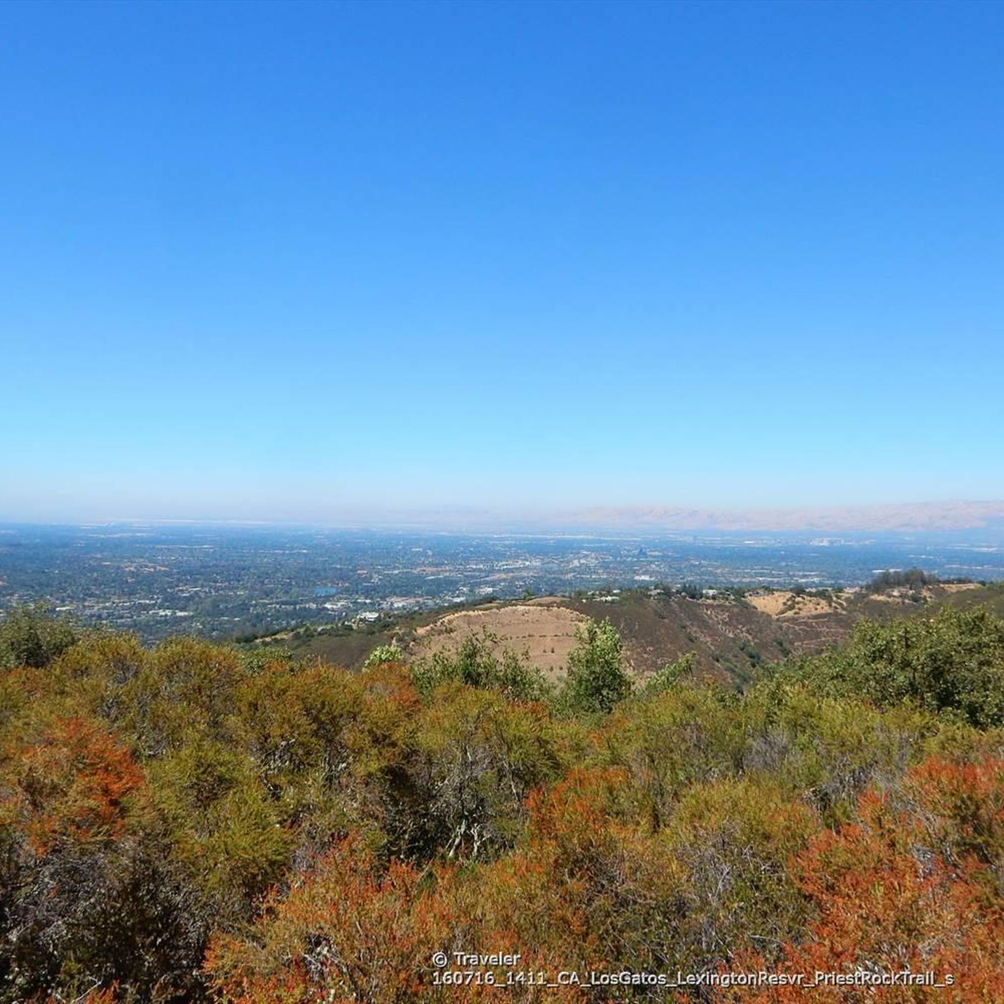
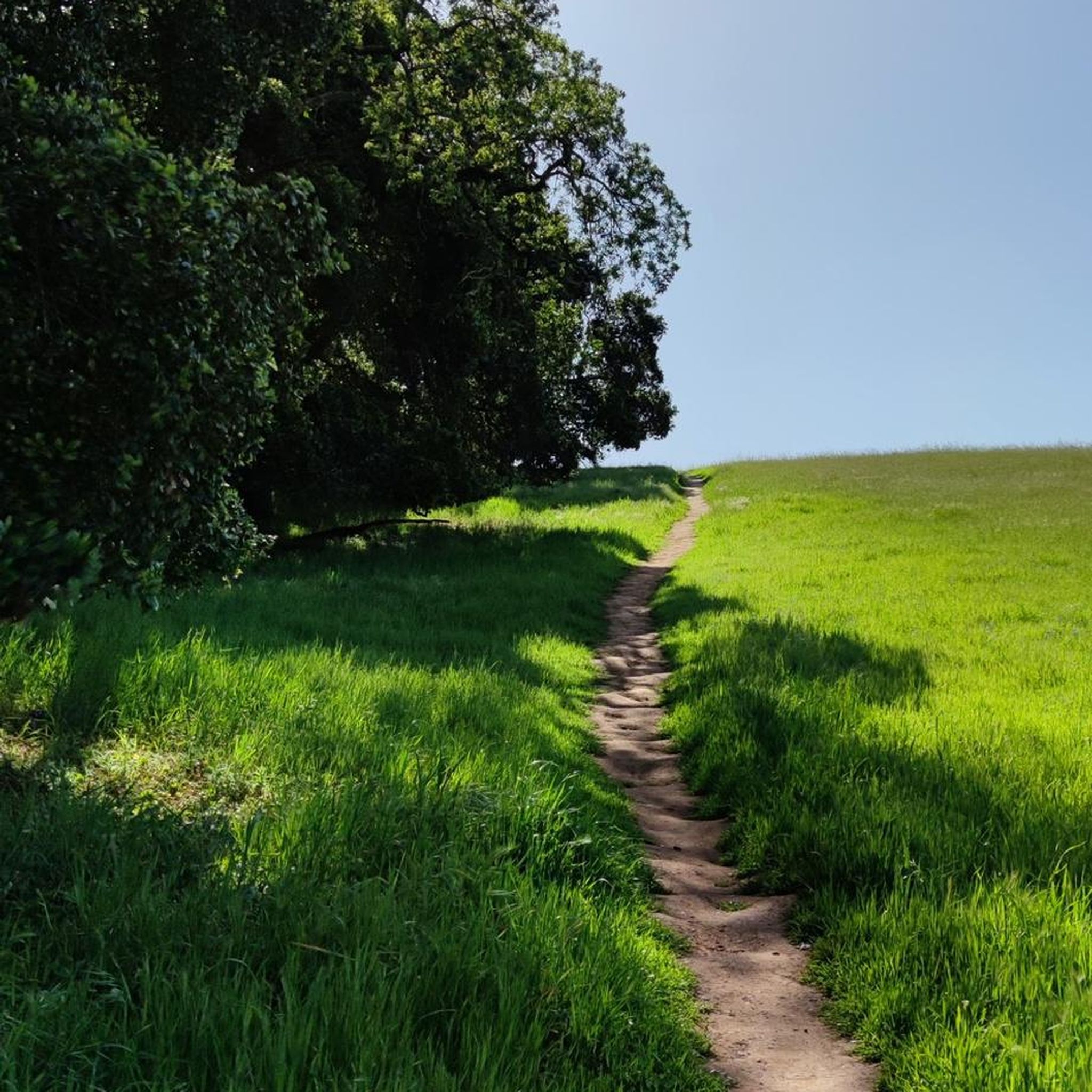
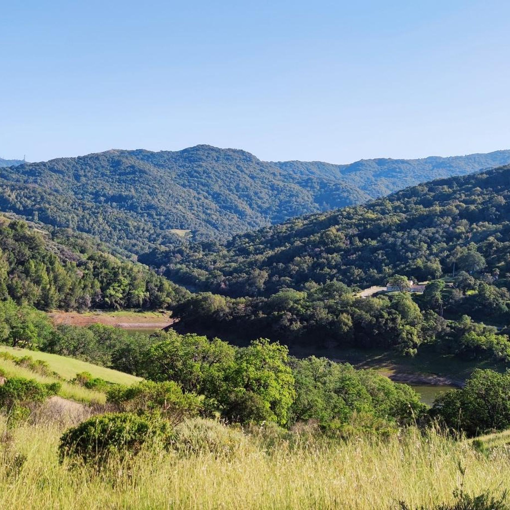
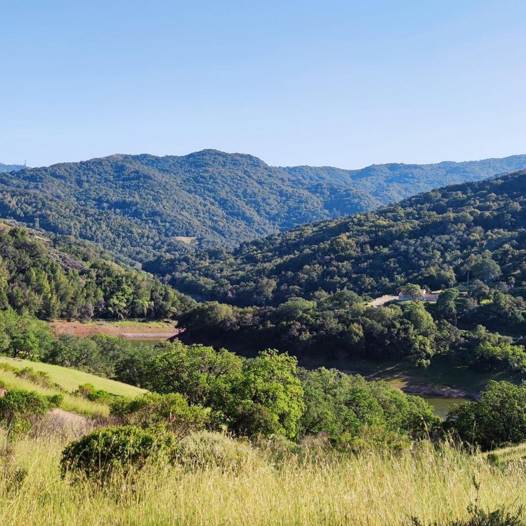
Tips from the Community

If you make the summit a fantastic view awaits. Be aware the road goes down then up to the road about then up again to the summit!…
0
0

Still one of the highest points in the Santa Cruz Mountains, even though the military graded and flattened the actual summit to create an Air Force base. The summit was cleaned of hazardous material in 2009, then carefully restored after a lot of community input. It's a lovely place to visit now!
0
0

Guadalupe Creek flows eastward from San Bruno Mountain in San Mateo County, passing through San Bruno Mountain State and County Park and Brisbane before reaching Brisbane Lagoon, a remnant of San Francisco Bay. The area is home to endangered butterflies and the San Francisco garter snake. The creek can be seen from Hicks Road, and it winds along the side of the road.
1
0

Climbing Mount Umunhum is a tough but rewarding challenge. The road is steep, with sections reaching up to 18% grades, so pace yourself. The views from the top are spectacular, making the hard work worth it. Start early to avoid traffic and the heat, and be prepared for a long, demanding ascent.
0
0
Here, you can buy fresh fruit, including prunes, pears, apricots, and cherries, depending on the season.
0
0
Here is the entrance to Uvas Canyon County Park. The park has several small falls surrounded by forest, walking less than a mile in, you’ll find a waterfall. Here you can find water fountains, restrooms and a campground. This is the perfect place to end or start your ride.
0
0
The Almaden Quicksilver Mining Museum is in the historic 1854 Casa Grande manor. The museum gives visitors a glimpse into the history of mercury (also known as quicksilver) mining and the role it played in the California Gold Rush. Visitors can explore exhibits of 19th-century mining photos, a mine tunnel diorama, and artifacts from mining families. The museum is open Friday through Sunday from 12:00 to 4:00 PM, with a suggested $2 donation for admission, and the museum grounds are open daily from 8:00 AM to sunset.
2
0

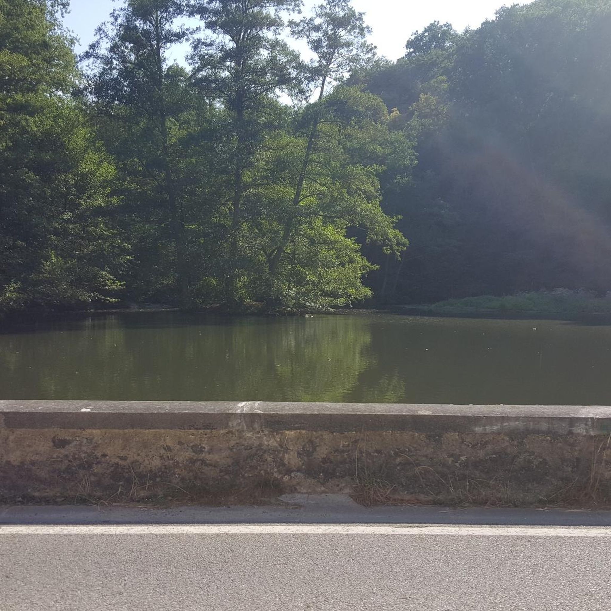
Hicks Road winds around Guadalupe Reservoir. Here, you can see some of the best views of the lake. Please be cautious of cars.
0
0
Frequently Asked Questions
What is the general difficulty level of road cycling routes in Almaden Quicksilver County Park?
Road cycling in Almaden Quicksilver County Park offers a range of difficulties, from moderate to difficult, characterized by significant elevation changes. You'll find routes like the Mount Umunhum Road – Mount Umunhum loop from Almaden Reservoir which is considered difficult due to substantial elevation gain, alongside moderate options.
What kind of terrain can I expect on road cycling routes in Almaden Quicksilver County Park?
The park's road cycling routes feature varied terrain, including a hilly landscape with challenging climbs and descents. You can expect routes that traverse through areas with views of the surrounding natural environment and water bodies, connecting to nearby county parks and reservoirs.
Are there road cycling routes suitable for beginners in Almaden Quicksilver County Park?
While many routes feature significant elevation changes, there are options for different ability levels. The park offers 39 easy and 50 moderate routes out of a total of 110 road cycling tours, providing choices for those looking for less strenuous rides.
What natural features or landmarks can I see while road cycling in the park?
Along the road cycling routes, you can encounter several interesting features. The area is known for its scenic reservoirs, such as Guadalupe Reservoir, and offers connections to adjacent parklands. You might also pass by historical sites like the New Almaden Quicksilver Mining Museum.
Are there good viewpoints along the road cycling routes in Almaden Quicksilver County Park?
Yes, many routes offer scenic views. A notable viewpoint is the Guadalupe Reservoir Vista within Quicksilver Mine County Park, providing picturesque outlooks over the water and surrounding landscape.
Where can I park my car when visiting Almaden Quicksilver County Park for road cycling?
Specific parking information for road cycling trailheads can vary. Many routes, such as the Blossom Hill - Shannon Road loop, often start from accessible points like Castillero Middle School, which may offer parking. It's advisable to check the starting point details of your chosen route for precise parking options.
What is the best time of year for road cycling in Almaden Quicksilver County Park?
The park is generally accessible year-round, but spring and fall often offer the most pleasant temperatures for road cycling. Summers can be warm, and winters mild, so checking local weather forecasts before your ride is always recommended.
What do other road cyclists enjoy most about road cycling in Almaden Quicksilver County Park?
The area is highly rated by the komoot community, with an average score of 4.7 stars from over 160 reviews. Cyclists often praise the varied terrain, the challenging climbs, and the scenic views of reservoirs and natural environments. The network offers options for different ability levels, which is also appreciated.
Are there any long-distance road cycling routes connecting to other parks?
Yes, several routes connect Almaden Quicksilver County Park to adjacent parklands. For example, the Calero County Park to Uvas Canyon County Park loop is a moderate 39.7-mile path that links two county parks, offering a longer ride through diverse landscapes.
Can I find loop routes for road cycling in Almaden Quicksilver County Park?
Yes, many road cycling routes in the park are designed as loops. Examples include the Calero County Park to Uvas Reservoir loop, a 55.1-mile trail, and the Mount Umunhum – Mount Umunhum loop from Almaden Valley, which is a challenging 39.5-mile ride.
What is the typical elevation gain on road cycling routes in Almaden Quicksilver County Park?
Road cycling in the park is characterized by significant elevation changes. For instance, the difficult Mount Umunhum Road – Mount Umunhum loop involves over 900 meters of elevation gain, while other routes like the Calero County Park to Uvas Reservoir loop have around 700 meters of ascent.
Most popular routes in Almaden Quicksilver County Park
Most popular attractions in Almaden Quicksilver County Park

Get inspired with the komoot mobile app


Explore more
Browse the best Road cycling routes in other regions.
