The best road cycling routes in Boundary Bay Regional Park
4.0
(3)
71
riders
5
rides
Road cycling in Boundary Bay Regional Park features flat, extensive trails along the coast. The terrain is characterized by wide dyke trails, coastal ecosystems, and agricultural land, offering minimal elevation gain. These routes provide panoramic views of the bay and surrounding natural features. The park's geography is well-suited for road cycling, with mostly paved surfaces on some routes.
Best road cycling routes in Boundary Bay Regional Park
- The most popular road cycling route is View of Alex Fraser Bridge loop…
Last updated: July 9, 2026
3.0
(1)
19
riders
60.0km
02:32
160m
160m
Moderate road ride. Good fitness required. Some segments of this route may be unpaved and difficult to ride.
7
riders
27.0km
01:17
40m
40m
Moderate road ride. Great for any fitness level. Some segments of this route may be unpaved and difficult to ride.

Sign up for free
14
riders
Moderate road ride. Good fitness required. Some segments of this route may be unpaved and difficult to ride.
4.0
(1)
20
riders
30.6km
01:25
120m
120m
Moderate road ride. Great for any fitness level. Some segments of this route may be unpaved and difficult to ride.
5.0
(1)
11
riders
Moderate road ride. Good fitness required. Some segments of this route may be unpaved and difficult to ride.
Our route recommendations are based on thousands of hikes, rides, and runs completed by other people on komoot.
Start today with a free account
Your next adventure awaits.
Login or Signup
Popular around Boundary Bay Regional Park

Tips from the Community

Beach Grove Park is a lovely mix of open lawns with pockets of mature trees, with flat, well-kept paths that wind through the park, connecting playgrounds, sports courts, picnic areas, and off-leash spaces. Its laid-back, neighbourhood feel makes it a convenient spot for a quick stroll or casual time outdoors.
0
0

Joe Brown Park has its own multi-use trail system as well as connections to the wider ranging Delta-South Surrey Regional Greenway and Serpentine Greenway. You'll also find a dog park, sports fields, and Panorama Ridge Riding Club.
0
0

Try to stop at MONTGOMERY’S on Marine Dr White Rock for FISH N CHIPS
0
0

Fred Gingell Park is a scenic park in Tsawwassen, Delta, BC, overlooking the Strait of Georgia. It’s known for its spectacular bluff-top views, especially at sunrise and sunset. The park features a steep stairway down the cliffside to the beach, which makes it popular for fitness enthusiasts as well as for those looking to enjoy the shoreline. The park is named in memory of Fred Gingell (1930–1999), a respected local politician, community leader, and MLA for Delta South.
0
0

Blumsen Park – South Surrey, BC Blumsen Park is a serene neighbourhood park located at 15473 34 Avenue in South Surrey, British Columbia. Nestled between Rosemary Heights Drive and 34 Avenue, just south of Rosemary Heights Elementary School, the park offers a blend of natural beauty and recreational amenities. OpenTable City of Surrey Features & Amenities Woodland Trails: Explore the large wooded area with forest pathways that connect to a broader neighbourhood linear park system. Playground: An all-ages playground with separate sections for toddlers and older children, including swings for each age group. Open Green Spaces: Ideal for picnics, casual gatherings, or simply relaxing amidst nature.
0
0

The pier is approximately 470m long, but not the longest in Canada (Quai de Portneuf in Portneuf is the longest in Canada). Originally a pontoon construction (1912), it was built as a permanent pier from 1914 and was rebuilt several times due to storms and fires.
1
0
Peninsula United Church was formed in 2017 when three congregations in South Surrey & White Rock (Crescent, First and Sunnyside United Churches) joined together to form one united congregation.
0
0
Frequently Asked Questions
What is the typical terrain like for road cycling in Boundary Bay Regional Park?
Road cycling in Boundary Bay Regional Park primarily features flat, extensive trails along the coast. The terrain is characterized by wide dyke trails, coastal ecosystems, and agricultural land, offering minimal elevation gain. Many routes have mostly paved surfaces, making them suitable for road bikes.
Are there road cycling routes suitable for beginners or families in Boundary Bay Regional Park?
Yes, the park is well-suited for all skill levels, including beginners and families. The Boundary Bay Dyke Trail, for instance, is a wide, flat, and hard-packed path with minimal elevation, providing an easy and enjoyable ride. The park also offers family-friendly amenities like picnic areas and playgrounds at Centennial Beach.
How many road cycling routes are available in Boundary Bay Regional Park?
There are 5 road cycling routes available in Boundary Bay Regional Park, all rated as moderate difficulty. These routes offer varied distances and experiences across the park's scenic landscape.
What kind of views can I expect while cycling in Boundary Bay Regional Park?
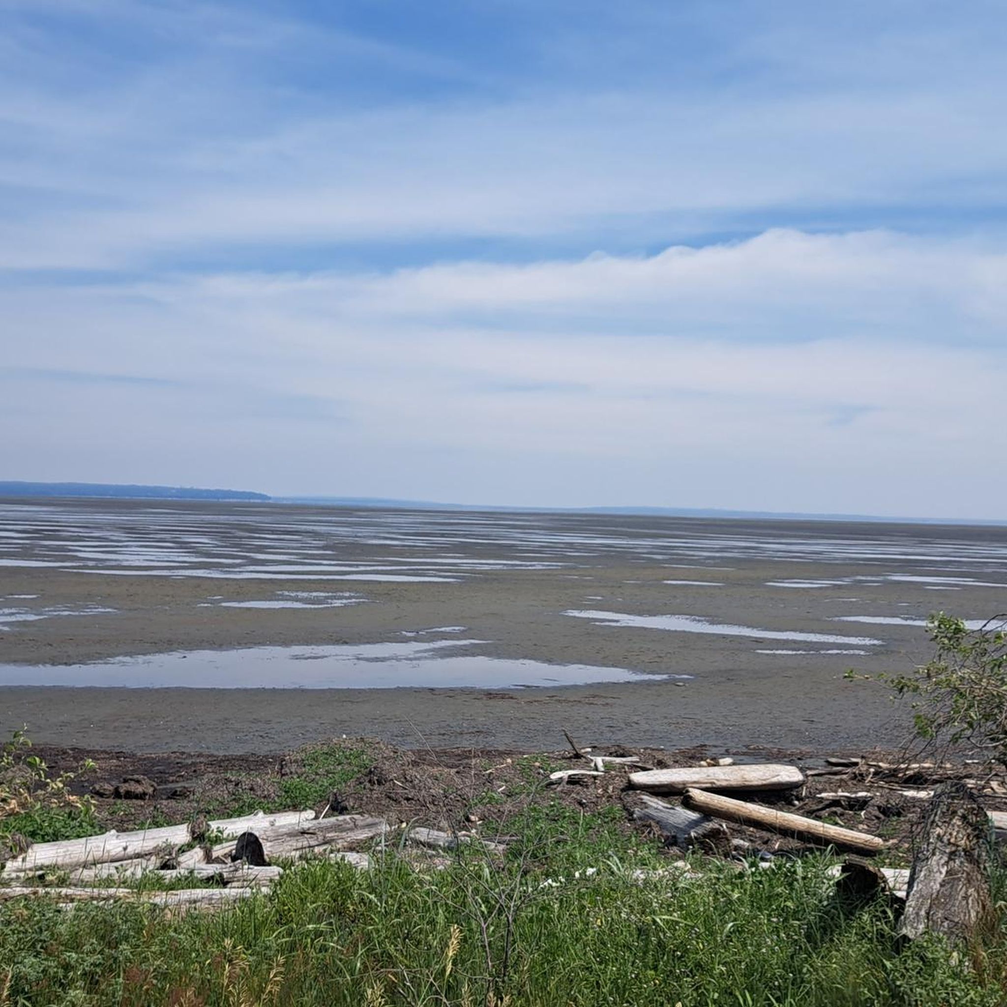
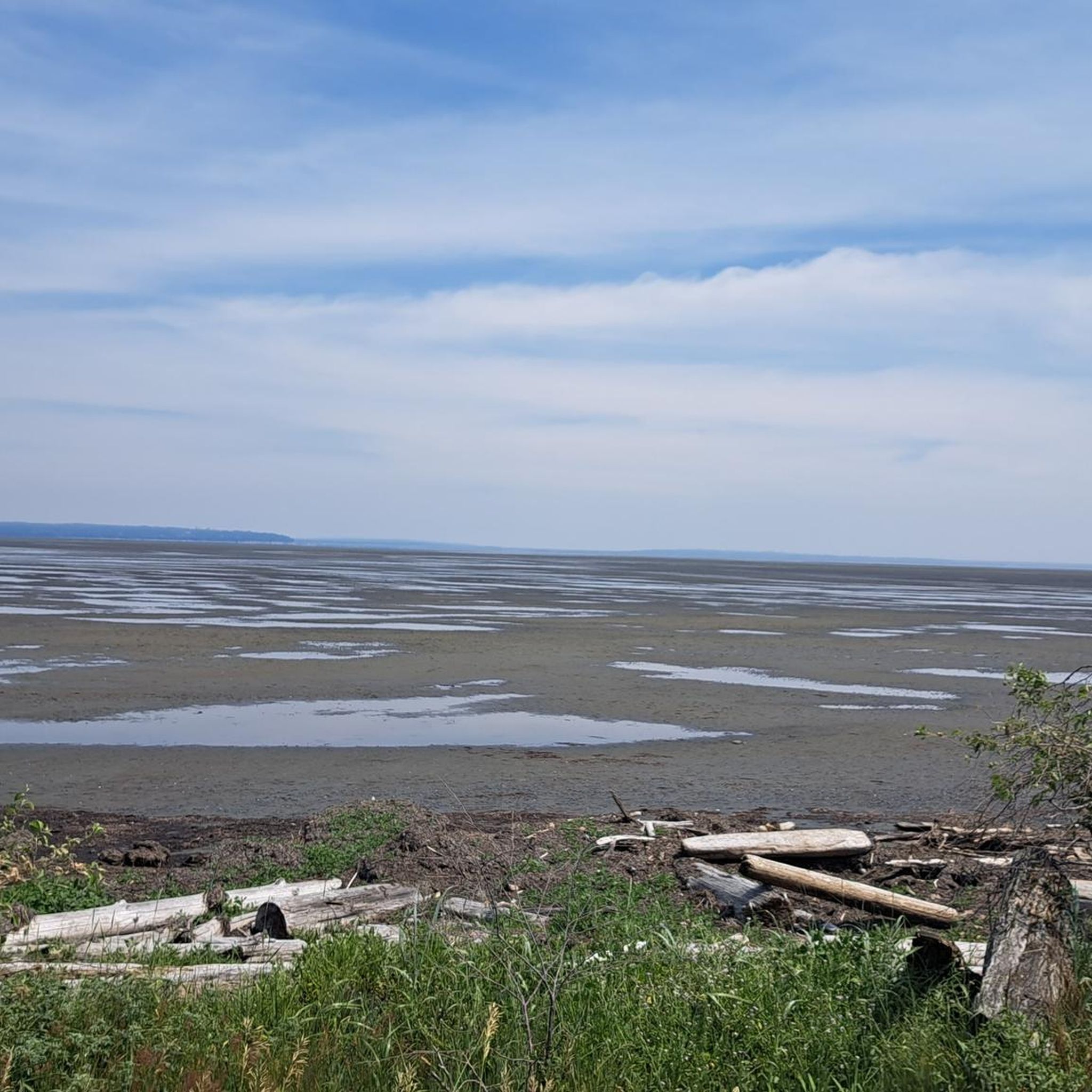
Cyclists can enjoy panoramic vistas of Boundary Bay, agricultural land, and tidal marshes. On clear days, you might even see the distant North Shore mountains or the Olympic Peninsula. The park also offers picturesque sunsets over the bay, especially at low tide when the sandy bottom creates stunning reflective landscapes.
Are there any specific natural features or wildlife to look out for?
Boundary Bay Regional Park is a critical habitat for a multitude of waterfowl and shorebirds, being part of the Pacific Flyway migration route. You can spot various bird species, including raptors, eagles, dunlin, sandpipers, herons, and brants, particularly from the Dyke Trail and viewing platforms. The park also protects rare coastal sand ecosystems and features tidal pools at Centennial Beach.
Are there any historical or cultural landmarks along the routes?
One notable route, the Elgin Creek Salmon Habitat – Historic Stewart Farmhouse loop from Tsawwassen, takes you past the Historic Stewart Farmhouse, offering a glimpse into the region's past.
Where can I park when visiting Boundary Bay Regional Park for road cycling?
Convenient access points and trailheads with parking are available at 64 Street, 72 Street, 104 Street, and Mud Bay Park. Centennial Beach also offers parking facilities.
Is public transport available to reach the cycling routes?
While specific public transport routes directly to all trailheads may vary, the park is accessible from nearby communities like Tsawwassen and Delta, which are served by local transit. It's advisable to check local transit schedules for the most up-to-date information on reaching specific access points.
What is the best time of year to go road cycling in Boundary Bay Regional Park?
The park offers enjoyable cycling experiences throughout much of the year. Spring and fall are ideal for birdwatching during migration seasons. Summer provides warm, sunny conditions, while winter can still be pleasant on clear days, though it's always wise to check weather conditions before heading out.
Are there any facilities like cafes or washrooms near the cycling routes?
Yes, Boundary Bay Regional Park is considered a family-friendly destination with amenities such as picnic areas and well-maintained washroom facilities, particularly at Centennial Beach. While there aren't cafes directly on the dyke trail, nearby communities like Tsawwassen offer dining options.
Are there any circular road cycling routes in the park?
Yes, several routes in the park are designed as loops, allowing you to start and end at the same point. Examples include the View of Alex Fraser Bridge loop from Tsawwassen and the Centennial Beach loop from Delta.
What is the typical length of road cycling routes in Boundary Bay Regional Park?
The road cycling routes in Boundary Bay Regional Park vary in length. For example, the Green Slough – Elliot Street Park Reserve loop from Tsawwassen is about 16.8 miles (27.0 km), while the Elgin Creek Salmon Habitat – Historic Stewart Farmhouse loop from Tsawwassen is significantly longer at 63.1 miles (101.5 km).
Can I bring my dog on the road cycling trails?
While the region is generally dog-friendly, specific regulations for dogs on cycling trails within Boundary Bay Regional Park may apply. It's best to check official park signage or the Metro Vancouver Regional Parks website for current rules regarding pets on trails to ensure a pleasant experience for everyone.
What do other road cyclists enjoy most about the routes in Boundary Bay Regional Park?
The area is highly rated by the komoot community, with an average score of 4.0 stars. Reviewers often praise the flat, extensive trails, the scenic views of the bay and natural landscapes, and the quiet, traffic-free cycling experience along the dyke.
Most popular routes in Boundary Bay Regional Park

Get inspired with the komoot mobile app


Explore more
Browse the best Road cycling routes in other regions.
