The best MTB trails in Wolli Creek Regional Park
32
riders
4
rides
Mountain biking in Wolli Creek Regional Park offers a unique experience within an urban setting, characterized by accessible bushland and diverse natural features. The park's landscape includes rugged sandstone escarpments, extensive bushland, and varied vegetation, from heathland to wetlands. This environment provides a dynamic backdrop for mountain bike trails, allowing riders to explore a significant vegetation corridor along Wolli Creek. The park is a vital green corridor in Sydney's inner south-west, featuring diverse ecosystems and a rich biodiversity.
Best mountain…
Last updated: July 17, 2026
8
riders
58.7km
03:20
240m
240m
Moderate mountain bike ride. Good fitness required. Suitable for all skill levels.
10
riders
49.8km
02:37
210m
210m
Moderate mountain bike ride. Good fitness required. Suitable for all skill levels.

Sign up for free
6
riders
22.0km
01:13
110m
110m
Easy mountain bike ride. Great for any fitness level. Suitable for all skill levels.
2
riders
25.7km
01:24
140m
140m
Easy mountain bike ride. Great for any fitness level. Suitable for all skill levels.
6
riders
24.9km
01:27
130m
130m
Easy mountain bike ride. Great for any fitness level. Suitable for all skill levels.
Our route recommendations are based on thousands of hikes, rides, and runs completed by other people on komoot.
Start today with a free account
Your next adventure awaits.
Login or Signup
Tips from the Community

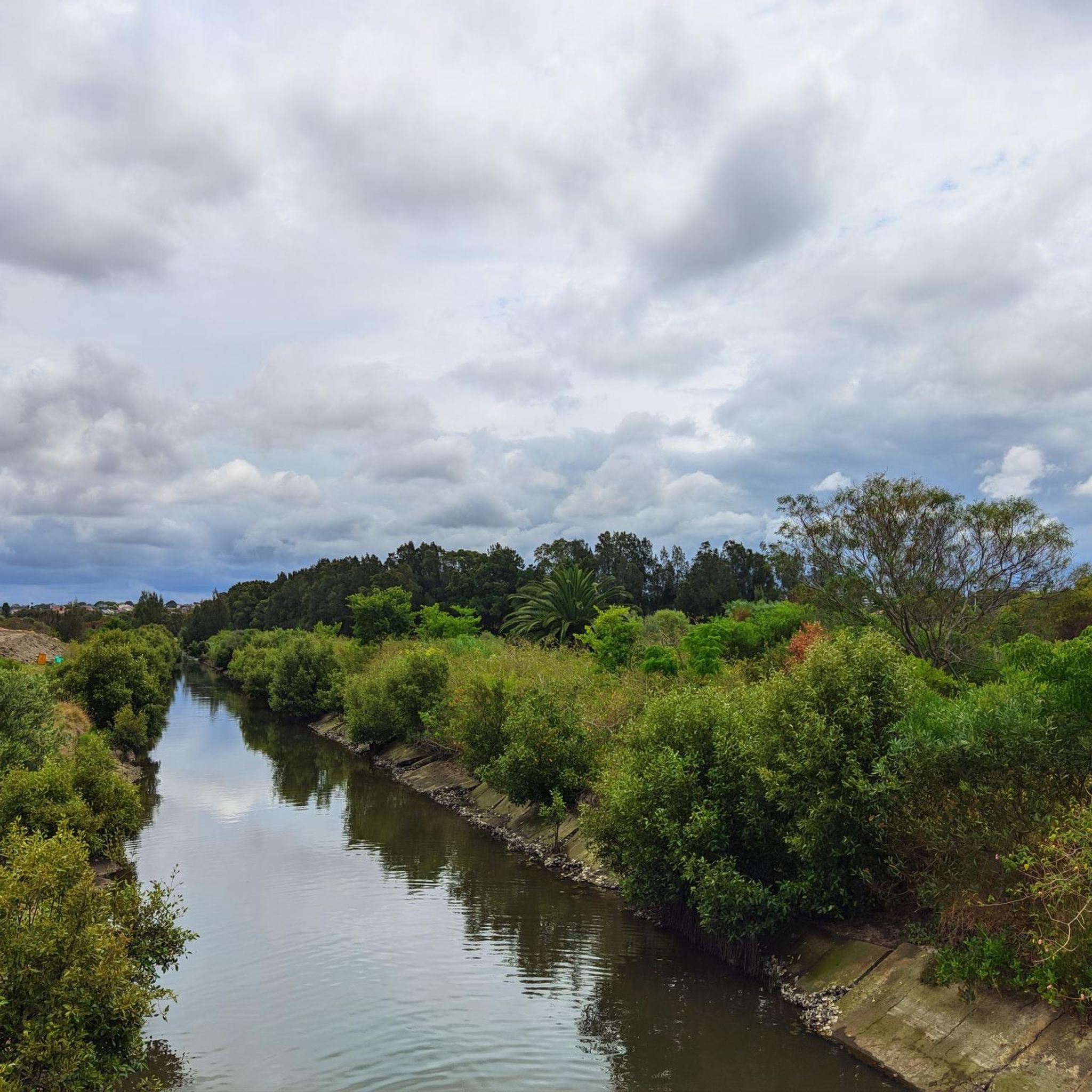
You get a nice view of the river as you pass by Warren Park. The section of multi-use trail along the north shore of the Cook is generally a little sunnier than the south side. From here, the Cook River flows out into Botany Bay.
0
0

Steel Park is a large riverside recreation area nestled along the Cooks River, with open lawns, sports fields, picnic areas, and access to the popular Cooks River cycle and walking path. There is a playground, outdoor fitness equipment, shady picnic spots, and a seasonal water play area that makes it especially popular with families in the warmer months. It’s a great place to take a break and enjoy the river scenery.
0
0

Lake Belvedere sits in Bicentennial Park, where former landfill has been reshaped into lakeside parkland and freshwater habitat. The lake is one of the easiest birdwatching spots around Sydney Olympic Park, with breeding habitat for a wide range of waterbirds and flat paths close to the shoreline. It’s a calm, open section of the Homebush Bay loop, with picnic areas, cycle paths, and views across the surrounding parklands.
0
0
Bunmarra Wetland is part of the park’s stormwater system, with ponds and reed beds filtering water before it flows through the site. Paths run alongside the water, with sections bringing you close to the edge. The wetland supports birdlife including ducks and other water birds, and sits within a more enclosed section of the park compared to the open hills nearby.
0
0
From one of the higher mounds in Sydney Park, this viewpoint looks out toward the Sydney CBD skyline. The elevated position creates a clear line of sight over the surrounding suburbs, with the city towers visible in the distance. It’s one of the more open sections of the park, contrasting with the lower wetland areas nearby.
0
0

Iron Cove Bridge is a concrete girder bridge in Sydney spanning Iron Cove, connecting the suburbs of Drummoyne and Rozelle, forming part of Victoria Road. The current structure opened in 1955, replacing an earlier swing bridge, and was designed to accommodate increasing vehicle traffic across Sydney Harbour’s inner waterways. It carries multiple traffic lanes along with pedestrian and cycle access, and is part of a busy transport corridor linking the inner west to the city.
0
0
Anzac Bridge is a major cable-stayed bridge spanning Johnstons Bay, connecting Pyrmont with Rozelle and is a key western approach to the city centre. It opened on 3 December 1995 (originally as the Glebe Island Bridge) and was renamed in 1998 to honour the Australian and New Zealand Army Corps, with commemorative statues later added at each end. The 805-metre bridge includes twin 120-metre towers, eight traffic lanes, and a shared pedestrian and cycle path, making it both a major transport link and an iconic element of Sydney’s skyline.
0
0
Frequently Asked Questions
How many mountain bike trails are available in Wolli Creek Regional Park?
Komoot currently features 5 mountain bike trails in Wolli Creek Regional Park. These routes offer a mix of easy and moderate challenges, allowing riders to explore the park's unique urban bushland setting.
What kind of terrain can I expect on mountain bike trails in Wolli Creek Regional Park?
The trails in Wolli Creek Regional Park traverse a diverse landscape characterized by rugged sandstone escarpments and varied vegetation, including bushland, heathland, woodland forest, wetlands, and even endangered saltmarsh communities. You'll experience a unique blend of natural beauty within an urban environment.
Are there any easy mountain bike trails suitable for beginners or families in Wolli Creek Regional Park?
Yes, there are easy trails perfect for beginners or families. For instance, the Water Bird Sanctuary loop from Croydon is an easy 21.4 km ride, and the TreeCycle Sculpture loop from Jubilee Park offers another accessible option at 25.3 km.
What are some of the longer or more challenging mountain bike routes in the park?
For those seeking a moderate challenge, routes like the Mountainbike loop from Dulwich Grove extends for 68.8 km, winding through suburban areas and green spaces. Another moderate option is the Brighton-Le-Sands Beach loop from Bexley North, covering 56.4 km with varied urban and natural landscapes.
Can I bring my dog on the mountain bike trails in Wolli Creek Regional Park?
While Wolli Creek Regional Park is a natural haven, specific rules regarding dogs apply to protect its sensitive ecosystems and wildlife. Generally, dogs are not permitted on walking tracks or in bushland areas within NSW national parks and reserves. It's best to check the official NSW National Parks website for the most current regulations regarding pets in the park: NSW National Parks.
What kind of wildlife might I encounter while mountain biking in Wolli Creek Regional Park?
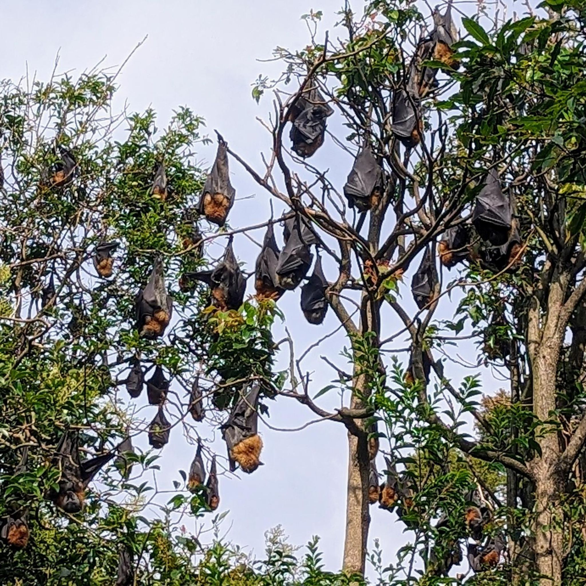
Wolli Creek Regional Park is a significant wildlife haven, home to a grey-headed flying fox colony and a remarkable array of native birds, including Blue Wrens, Cormorants, Brown Goshawks, and Peregrine Falcons. Keep an eye out for these creatures, especially in the quieter bushland sections.
Are there any picnic areas or facilities along the mountain bike trails?
While the trails themselves might not have direct picnic facilities, the broader Wolli Creek Regional Park offers areas like Girrahween picnic area and Turrella Reserve. These spots are suitable for relaxation, barbecues, and family outings, and can be accessed near the park's trailheads.
What do other mountain bikers say about the trails in Wolli Creek Regional Park?
The mountain bike trails in Wolli Creek Regional Park are highly rated by the komoot community, with an average score of 5.0 stars. Riders often praise the unique experience of finding accessible bushland and diverse natural features within an urban setting, making it a valuable escape for outdoor activity.
Is public transport available to access mountain bike trails in Wolli Creek Regional Park?
Yes, Wolli Creek Regional Park is well-integrated into Sydney's public transport network, making it accessible without a car. Various train stations and bus routes serve the areas surrounding the park, providing convenient access to different trailheads. It's advisable to check local transport schedules for the most direct route to your chosen starting point.
Are there any specific natural attractions or landmarks to look out for while riding?
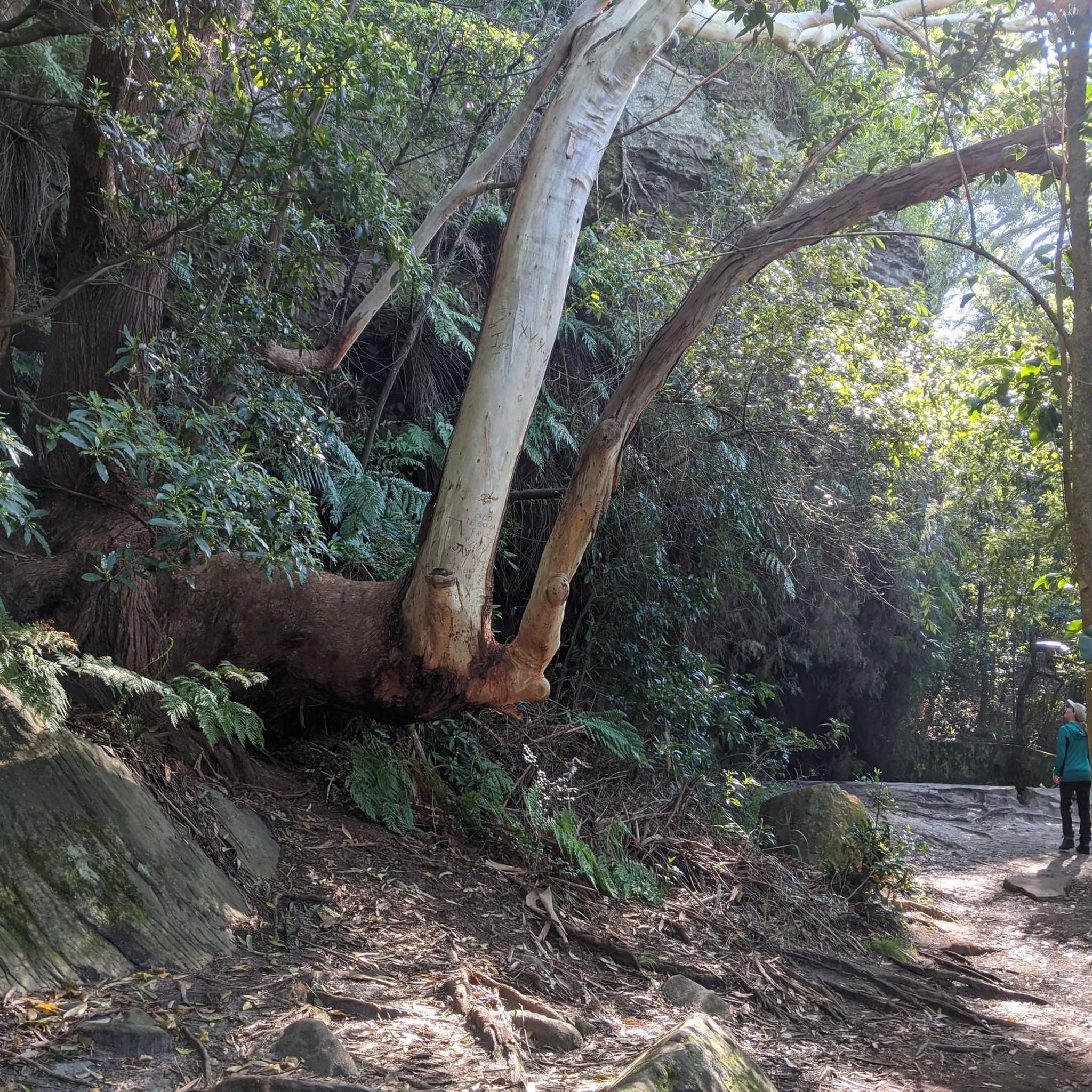
While riding, you'll experience the impressive sandstone escarpments that characterize the park. The trails also follow a significant vegetation corridor along Wolli Creek, offering glimpses of diverse native flora and the creek's ecological value. The park preserves remnants of native plants that grew in Sydney before European settlement, such as Smooth-barked Apple and Blackbutt trees.
What is the best time of year to go mountain biking in Wolli Creek Regional Park?
Sydney generally enjoys a mild climate, making mountain biking in Wolli Creek Regional Park enjoyable for much of the year. Spring and autumn offer pleasant temperatures, while winter can also be a good time with cooler, drier conditions. Summers can be hot, so early morning or late afternoon rides are recommended during warmer months.
Are there any mountain bike trails that form a loop in Wolli Creek Regional Park?
Yes, many of the mountain bike routes in Wolli Creek Regional Park are designed as loops, allowing you to start and finish at the same point. Examples include the Anderson Street Bridge loop from Macdonaldtown and the Brighton-Le-Sands Beach loop from Bexley North, providing convenient circular rides.
Most popular routes in Wolli Creek Regional Park

Get inspired with the komoot mobile app


Explore more
Browse the best MTB trails in other regions.
