The best walks and hikes in Wolli Creek Regional Park
4.7
(138)
4,370
hikers
91
hikes
Hiking in Wolli Creek Regional Park offers diverse landscapes within an urban setting, characterized by rugged sandstone cliffs and extensive bushland. The park features Wolli Creek as a central element, with trails often following its course through varied vegetation including heathland, woodland forests, and even rainforest trees. This area provides a significant habitat for native plants and wildlife, making it a notable green space in Sydney.
Best hiking trails in Wolli Creek Regional Park
- The most popular hiking route is Wolli Creek Flying Fox Colony – Picnic Area loop from Tempe, a 7.9 miles (12.7 km) trail that takes 3 hours 18 minutes to complete, passing by the Wolli Creek Flying Fox Colony.
- Another top favourite among local hikers is Picnic Area loop from Dulwich Hill, a moderate 4.9 miles (7.9 km) path exploring varied bushland and riverside environments.
- Local hikers also love the Picnic Area loop from Tempe, a 4.6 miles (7.4 km) trail leading through riverside paths and bushland, often completed in about 1 hour 53 minutes.
- Hiking in Wolli Creek Regional Park is defined by sandstone cliffs, diverse bushland, and riverside environments. The network offers options for easy, moderate, and difficult ability levels.
- The routes in Wolli Creek Regional Park are highly rated by the komoot community with an average score of 4.8 stars from over 100 reviews. More than 3,800 hikers have used komoot to explore Wolli Creek Regional Park's varied terrain.
Last updated: July 15, 2026
16
hikers
3.27km
00:50
10m
10m
Easy hike. Great for any fitness level. Easily-accessible paths. Suitable for all skill levels.
6
hikers
14.3km
03:38
40m
40m
Moderate hike. Good fitness required. Easily-accessible paths. Suitable for all skill levels.

Sign up for free
5.0
(1)
23
hikers
3.60km
00:56
20m
20m
Easy hike. Great for any fitness level. Easily-accessible paths. Suitable for all skill levels.
5.0
(1)
11
hikers
8.59km
02:12
30m
30m
Moderate hike. Good fitness required. Easily-accessible paths. Suitable for all skill levels.
5.0
(1)
4
hikers
12.7km
03:18
80m
80m
Moderate hike. Good fitness required. Easily-accessible paths. Suitable for all skill levels.
Get access to more routes and recommendations from other explorers.
Sign up for free
Already have an account?
Our route recommendations are based on thousands of hikes, rides, and runs completed by other people on komoot.
Start today with a free account
Your next adventure awaits.
Login or Signup
Tips from the Community

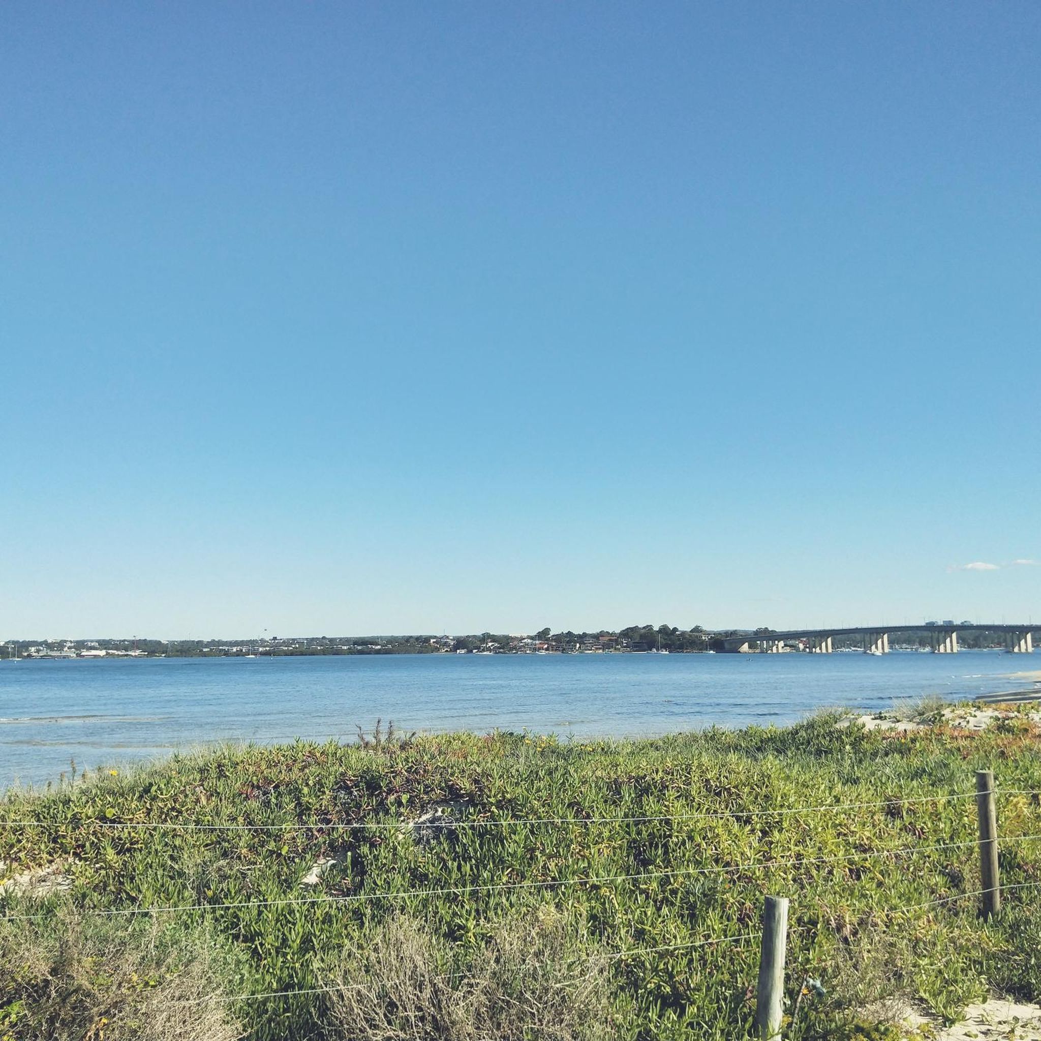
You get a nice view of the river as you pass by Warren Park. The section of multi-use trail along the north shore of the Cook is generally a little sunnier than the south side. From here, the Cook River flows out into Botany Bay.
0
0
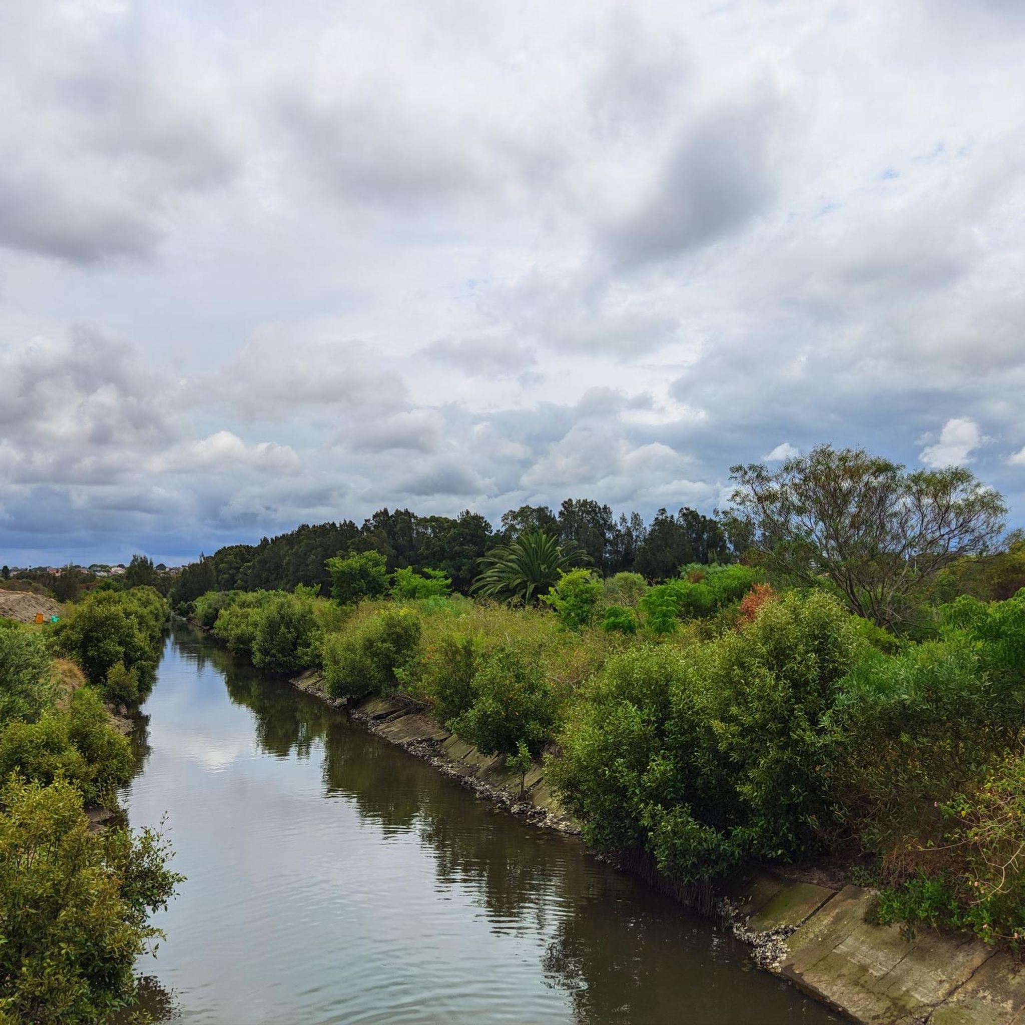
The Two Valley Trail runs for 13 kilometres along bushland and riverside - this section is well-shaded and takes you by the picnic area and playground at Wanstead Reserve.
0
0

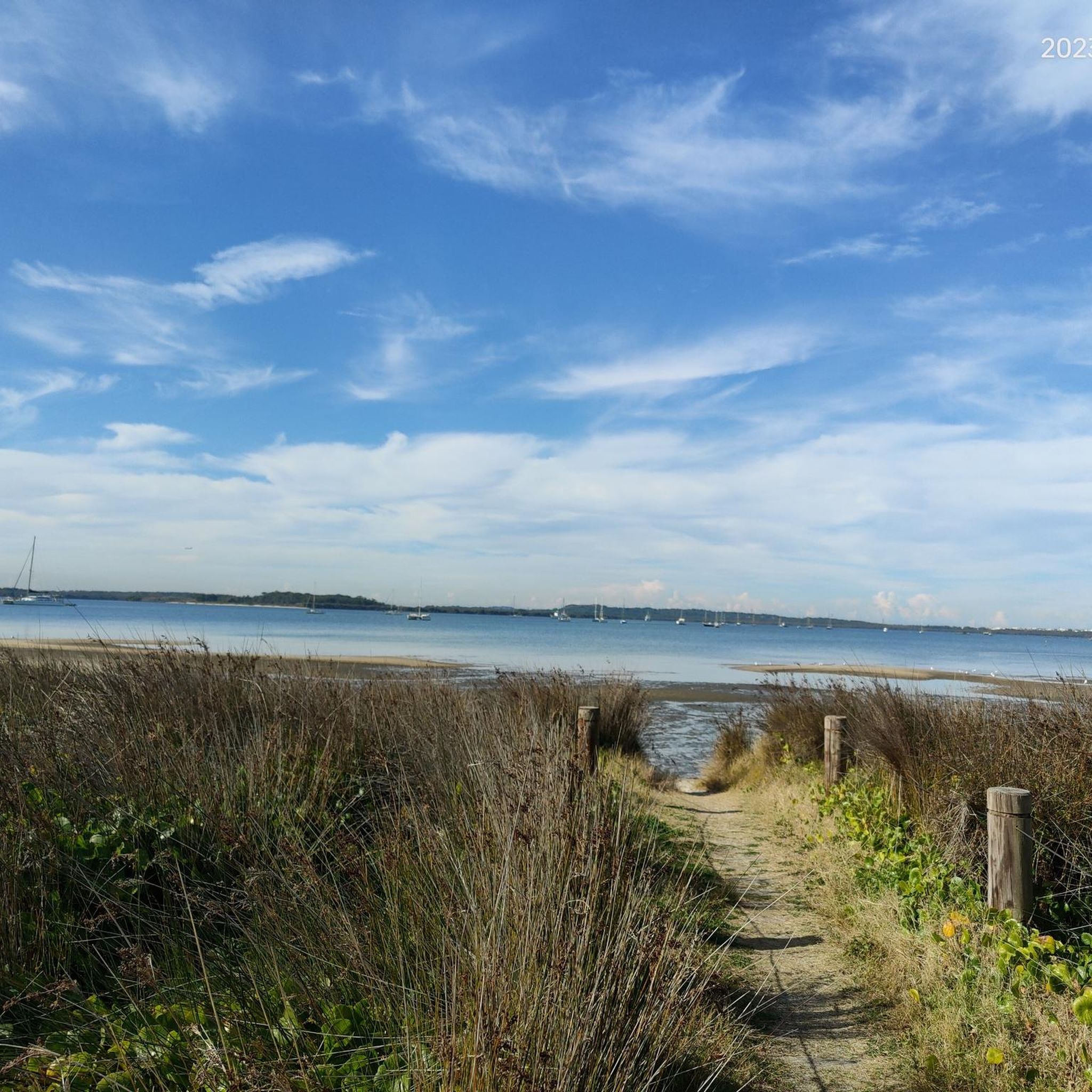
Cooks River winds through Sydney’s inner suburbs for around 23 kilometres, flowing from the Canterbury area to Botany Bay through a mix of parkland, wetlands, and urban neighbourhoods. From here, there are beautiful, wide-open views across the water, where you’ll likely see plenty of waterbirds along the banks. It’s a lovely spot to pause and watch rowers, cyclists, and the changing activity on one of Sydney’s most accessible urban waterways.
0
0
Steel Park is a large riverside recreation area nestled along the Cooks River, with open lawns, sports fields, picnic areas, and access to the popular Cooks River cycle and walking path. There is a playground, outdoor fitness equipment, shady picnic spots, and a seasonal water play area that makes it especially popular with families in the warmer months. It’s a great place to take a break and enjoy the river scenery.
0
0
Cooks River Cycleway is a shared walking and cycling path in Sydney, following the Cooks River for roughly 23 kilometres from Strathfield to Botany Bay. The mostly flat, paved route passes through parklands, wetlands, and urban green spaces, connecting a series of suburbs along the river corridor. Popular for commuting and recreation, it offers an accessible, off-road route with regular entry points, rest areas, and picturesque waterside sections.
0
0

Picknick area with toilets, changing room, BBQ and water play area für Kids. parking possible.
0
0


The historic Canterbury Sugarworks — also known as the Canterbury Sugar Mill — which was opened in 1842. At this location, imported raw sugar was processed. The gold rush resulted in the facility closing in 1854 due to a labour shortage. The river was dammed at the time to provide fresh water for the boilers.
0
0
Frequently Asked Questions
How many hiking trails are available in Wolli Creek Regional Park?
Wolli Creek Regional Park offers a wide selection of hiking opportunities, with over 90 routes available. These range from easy strolls to more challenging paths, ensuring there's something for every hiker.
What kind of terrain can I expect on the trails in Wolli Creek Regional Park?
The park features diverse terrain, including rugged sandstone cliffs, extensive bushland, and riverside environments along Wolli Creek. Tracks are generally hard-packed ground, but can be rocky and uneven in parts, with occasional steps. You'll encounter a mix of parkland, heathland, and woodland forests.
Are there any easy walks suitable for beginners or families with children?
Yes, Wolli Creek Regional Park has many easy trails perfect for beginners and families. For example, the Picnic Area loop from Marrickville is an easy 3.6 km route. The Wolli Creek Walking Track itself is described as a short and easy bushwalk, offering a serene experience within the city.
Can I find circular hiking routes in Wolli Creek Regional Park?
Absolutely. Many of the park's trails are designed as loops, allowing you to start and finish at the same point. Popular options include the Picnic Area loop from Dulwich Hill and the Picnic Area loop from Tempe, both offering varied bushland and riverside scenery.
What natural features or wildlife can I expect to see while hiking?
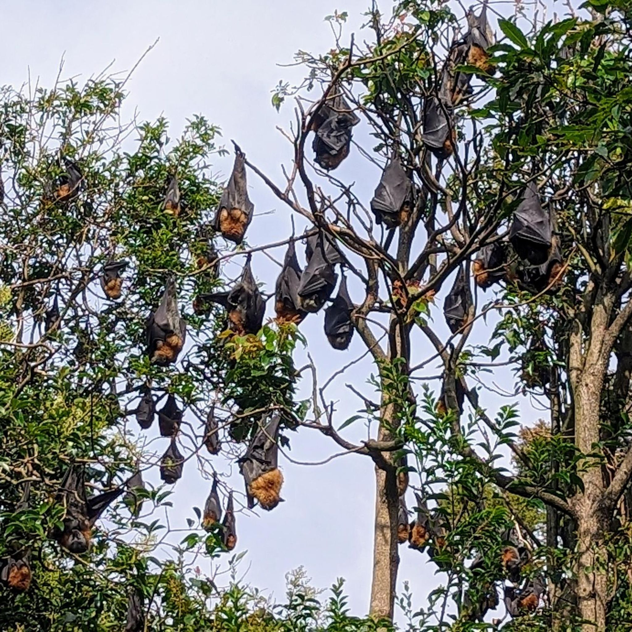
Wolli Creek Regional Park is a haven for nature lovers. You'll encounter impressive sandstone escarpments, the tranquil Wolli Creek, and diverse vegetation including heathland, woodland, and even rainforest trees. It's an important bird habitat, so keep an eye out for cormorants, blue wrens, peregrine falcons, and tawny frogmouths. The park also hosts a Grey-headed flying fox colony.
Are there facilities for picnics or children's play areas in the park?
Yes, the park is well-equipped for relaxation and family outings. The Girrahween picnic area offers barbecue facilities, and Turrella Reserve features playgrounds, making them ideal spots for a break or a family gathering.
How can I get to Wolli Creek Regional Park using public transport?
The park is highly accessible by public transport. You can easily reach various entry points via train, with nearby stations including Turrella, Bardwell Park, and Bexley North. The Two Valley Trail, which incorporates parts of the Wolli Creek walking track, is designed to be accessible by rail and bus.
Is there parking available for hikers at Wolli Creek Regional Park?
While the park is easily accessible by public transport, there are also parking options available near various entry points. It's advisable to check local signage for specific parking regulations and availability, especially during peak times.
What is the best time of year to go hiking in Wolli Creek Regional Park?
Wolli Creek Regional Park can be enjoyed year-round. However, spring and autumn generally offer the most pleasant hiking conditions with milder temperatures. Early mornings and late afternoons are ideal for birdwatching and wildlife spotting, regardless of the season.
Are dogs allowed on the hiking trails in Wolli Creek Regional Park?
As a regional park, specific rules regarding dogs may apply. Generally, dogs are permitted in some areas but must be kept on a leash. It's always best to check the official NSW National Parks website for the most current regulations regarding pets in Wolli Creek Regional Park to ensure a compliant and enjoyable visit.
What do other hikers say about their experience in Wolli Creek Regional Park?
The area is highly rated by the komoot community, with an average score of 4.8 stars from over 100 reviews. Hikers often praise the park's unique blend of natural beauty and urban accessibility, highlighting the peaceful bushland, scenic riverside paths, and abundant wildlife as key attractions.
Are there any longer or more challenging routes for experienced hikers?
Yes, for those seeking a longer adventure, the Wolli Creek walking track forms a 2 km section of the more extensive 13 km Two Valley Trail. This well-marked trail links Campsie to Bexley North, passing through diverse landscapes and offering a more extended hiking experience. The Wolli Creek Flying Fox Colony – Picnic Area loop from Tempe is a moderate 12.7 km route that takes around 3 hours 18 minutes to complete.
Most popular routes in Wolli Creek Regional Park

Get inspired with the komoot mobile app


Explore more
Browse the best Hikes in other regions.
