The best walks and hikes around Hoyershausen
4.6
(6657)
20,186
hikers
1,278
hikes
Hiking around Hoyershausen offers diverse landscapes within Germany's Leinebergland region. The area is situated in a valley, flanked by the Duinger Berg to the west and the Külf ridge to the east. This topography provides varied terrain, including dense forests, gentle hills, and river valleys, suitable for outdoor pursuits. The region features established trail networks that cater to different hiking preferences.
Best hiking trails around Hoyershausen
- The most popular hiking route is Külf Ridge Trail – Große Tannen Hut (Külf)…
Last updated: October 13, 2026
4.7
(71)
177
hikers
Moderate hike. Good fitness required. Easily-accessible paths. Suitable for all skill levels.
4.7
(14)
29
hikers
Easy hike. Great for any fitness level. Easily-accessible paths. Suitable for all skill levels.

4.8
(10)
27
hikers
11.4km
03:14
260m
260m
Moderate hike. Good fitness required. Easily-accessible paths. Suitable for all skill levels.
4.9
(17)
50
hikers
6.80km
01:55
150m
150m
Easy hike. Great for any fitness level. Easily-accessible paths. Suitable for all skill levels.
4.6
(26)
96
hikers
12.3km
03:22
180m
180m
Moderate hike. Good fitness required. Easily-accessible paths. Suitable for all skill levels.
Get access to more routes and recommendations from other explorers.
Already have an account?
Our route recommendations are based on thousands of hikes, rides, and runs completed by other people on komoot.
Start today with a free account
Your next adventure awaits.
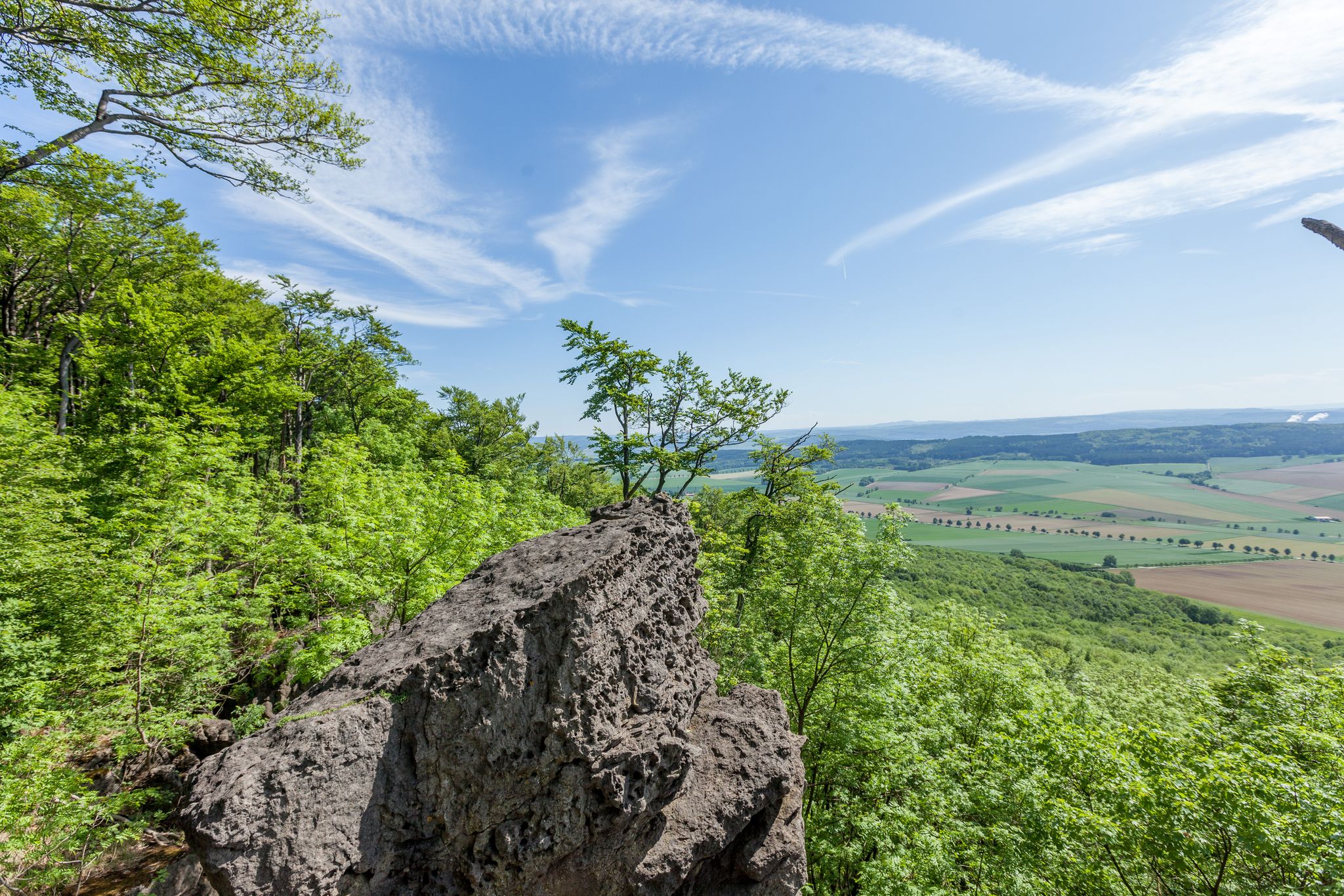
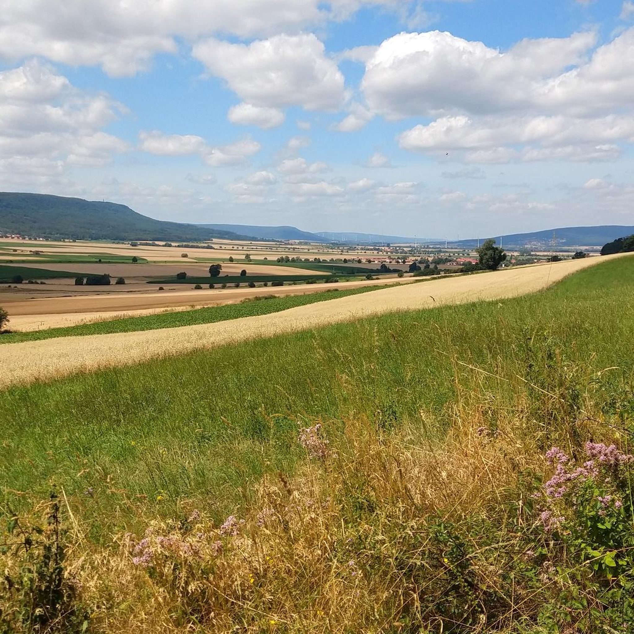
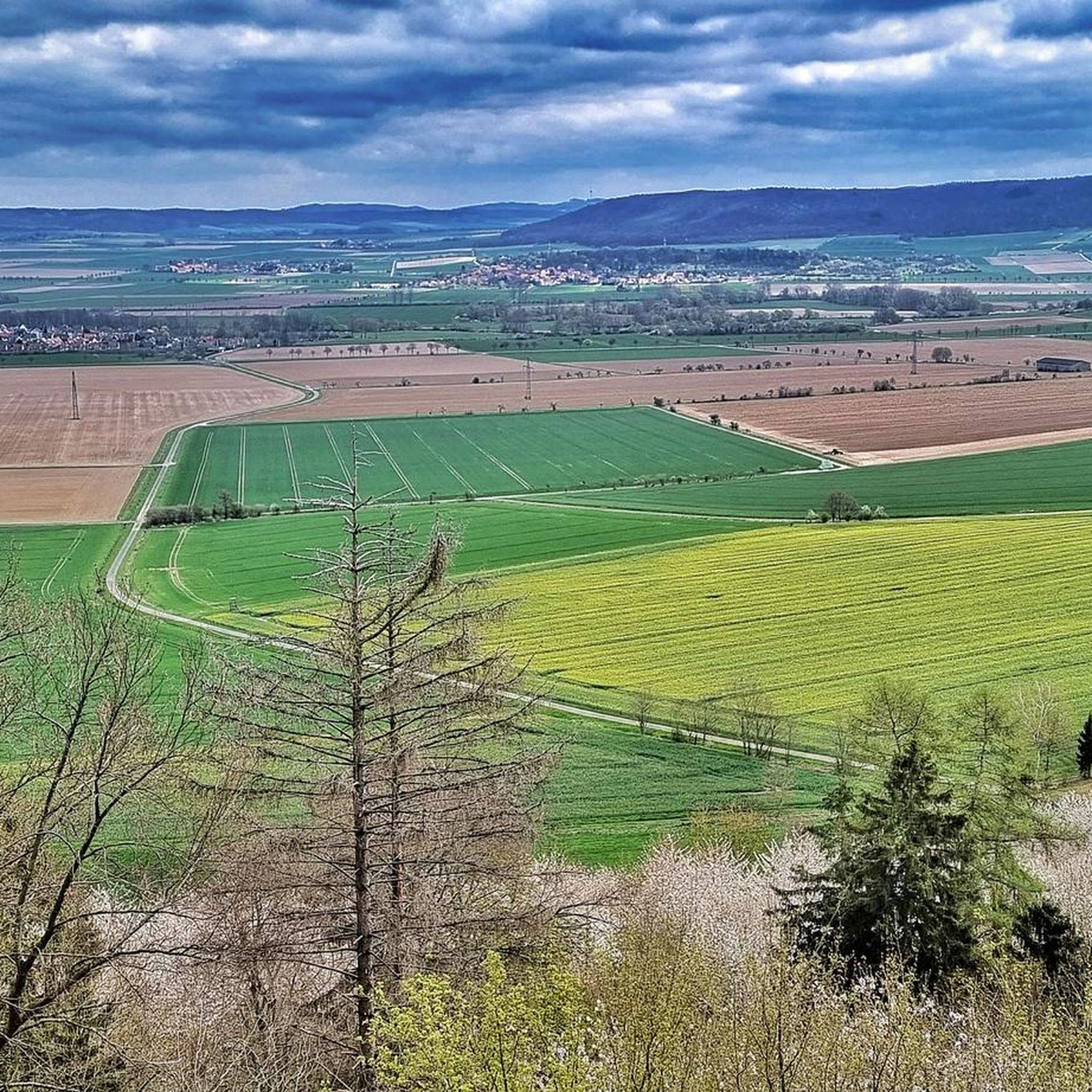
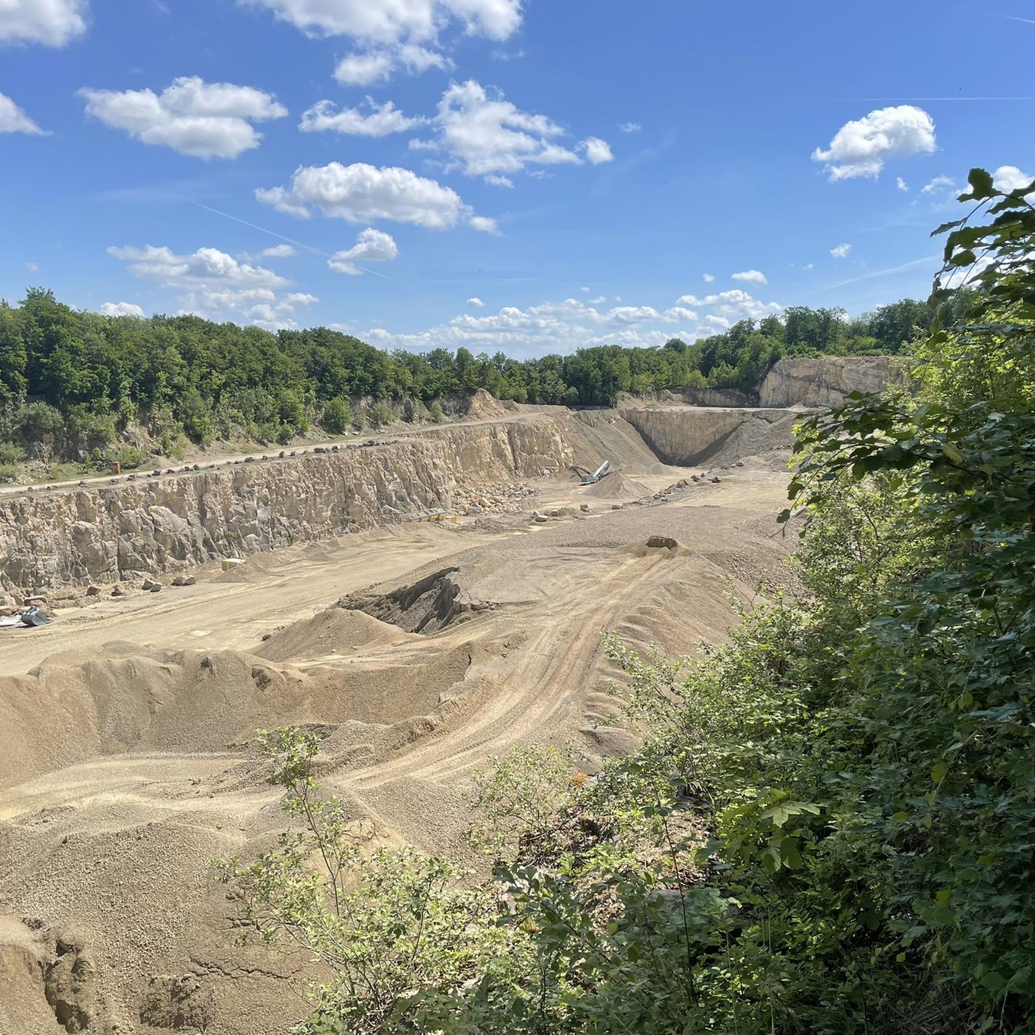
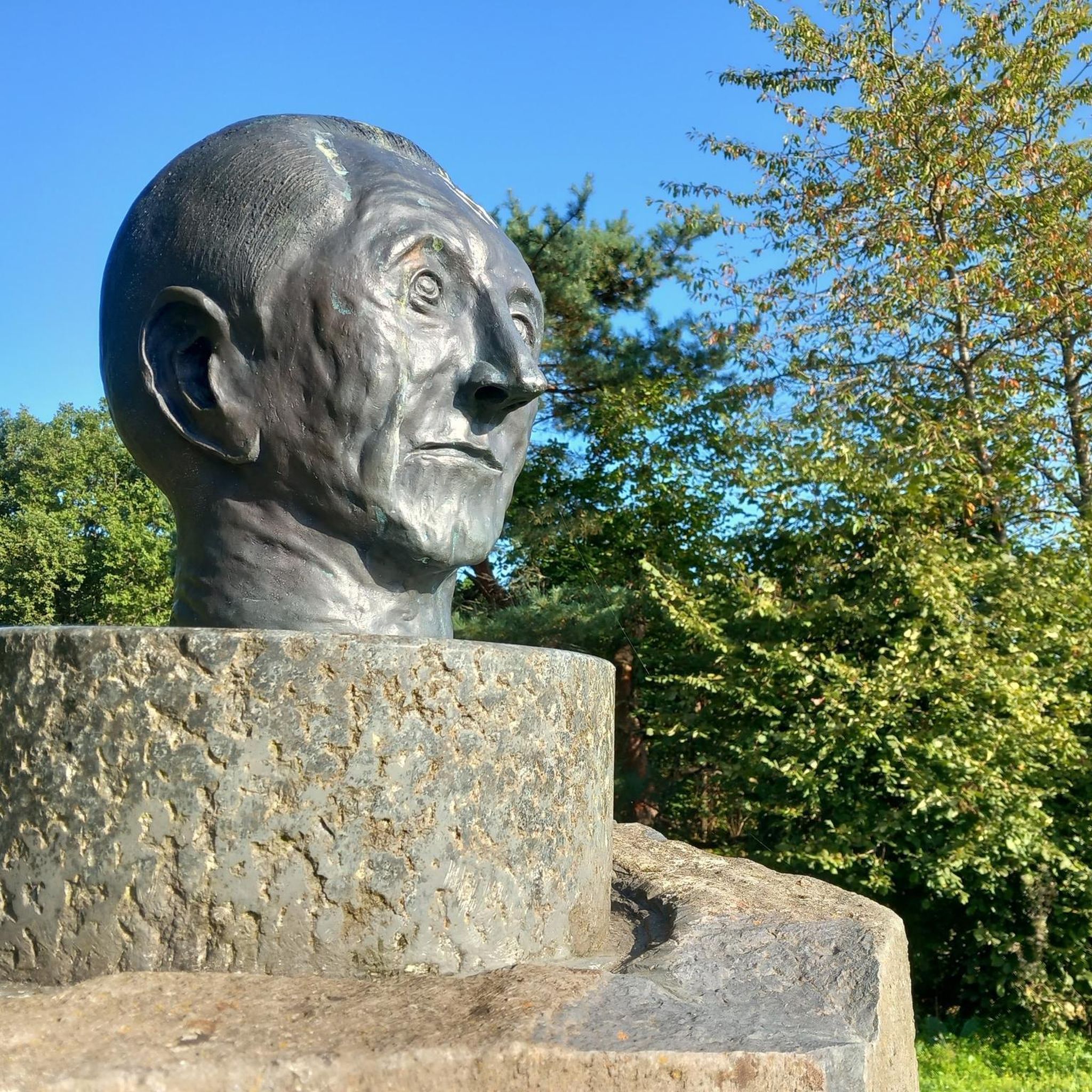
Other adventures around Hoyershausen

Tips from the Community

It's nice to take a short break here.
2
0
It's lovely to hike along here.
1
0
Always a good place to take a break.
2
0
We always enjoy hiking along this path and taking in the views.
2
0
It's always interesting to hike along here, unfortunately the "tunnel" is no longer there 🤷
1
0

Interesting installation - however, the route suggested by Komoot is not recommended
0
0

A very beautiful, quiet, secluded spot with a view of the Brocken. I was lucky that day and was above the clouds, so all I could see were the mountain peaks and the chimney stack of Alfeld.
2
0

Two benches at the end of the fruit tree avenue with a beautiful view of the Thüster Berg
0
0
Frequently Asked Questions
What is the general difficulty level of hiking trails around Hoyershausen?
The hiking trails around Hoyershausen cater to a wide range of fitness levels. You'll find a good mix of easy, moderate, and some more challenging routes. Out of over 1,300 available tours, more than 730 are considered easy, while over 500 are moderate, and about 70 are difficult. This means you can choose paths suitable for a leisurely stroll or a more strenuous trek, depending on your experience.
Are there family-friendly hiking options in Hoyershausen?
Yes, Hoyershausen offers many family-friendly hiking options. The region's diverse network includes numerous easily accessible paths with gentle elevation changes, perfect for families with children. For example, the Ridge trail to the Cölle Tower – Große Tannen Hut (Külf) loop is an easy 3.9-mile route, and the View of the Leinebergland – Große Tannen Hut (Külf) loop from Eime is also suitable for all fitness levels.
Can I bring my dog on the hiking trails in Hoyershausen?
Most hiking trails in the Hoyershausen area are dog-friendly, allowing you to enjoy the natural beauty with your canine companion. It's always recommended to keep your dog on a leash, especially in forested areas or near wildlife, and to be mindful of local regulations. Always carry water for your dog and clean up after them.
What kind of natural features or landmarks can I expect to see while hiking?
Hoyershausen is nestled between the Duinger Berg and Külf ridge, offering diverse landscapes with dense forests, gentle hills, and river valleys. You can explore the remnants of the legendary Lönsgrotte within the Duinger Berg, a historical site with stone walls and a memorial. The View of Marienhagen – Leinebergland Balcony loop offers scenic vistas from the 'Leinebergland Balcony' viewpoint.
Are there any viewpoints or scenic spots along the trails?
Absolutely. The region is known for its scenic vistas. The 'Leinebergland Balcony' is a notable viewpoint, accessible via routes like the View of Marienhagen – Leinebergland Balcony loop. Additionally, you can find several peaks and viewpoints nearby, such as the Löns Tower on Thüster Berg and the Ernst-Binnewies Tower (Tafelbergturm) on Hohe Tafel, offering panoramic views of the surrounding landscape.
Are there many circular hiking routes available?
Yes, many of the popular hiking routes around Hoyershausen are designed as loops, allowing you to start and end at the same point without retracing your steps. Examples include the Külf Ridge Trail – Große Tannen Hut (Külf) loop and the Ridge trail to the Cölle Tower – Große Tannen Hut (Külf) loop, providing varied scenery throughout your journey.
What are the typical lengths and durations of hikes in this area?
Hikes around Hoyershausen vary significantly in length and duration. You can find shorter, easy walks like the Ridge trail to the Cölle Tower – Große Tannen Hut (Külf) loop, which is about 3.9 miles (6.3 km) and takes around 2 hours. Longer, moderate routes, such as the View of Marienhagen – Leinebergland Balcony loop, can be up to 7.1 miles (11.4 km) and take over 3 hours.
When is the best time of year to go hiking in Hoyershausen?
The Leinebergland region, where Hoyershausen is located, is beautiful throughout the warmer months, typically from spring to autumn. Spring brings blooming flora, while summer offers lush greenery. Autumn provides stunning fall foliage. While winter hiking is possible, some paths might be slippery or covered in snow, so appropriate gear and caution are advised.
Are there any places to eat or rest along the hiking trails?
Yes, some routes feature huts or facilities where you can take a break. The 'Große Tannen Hut' on the Külf ridge is mentioned in several popular loop trails, such as the Külf Ridge Trail – Große Tannen Hut (Külf) loop. For more extensive dining or accommodation options, you'll find choices in the nearby villages and towns.
What do other hikers enjoy most about hiking in Hoyershausen?
The hiking experience in Hoyershausen is highly rated by the komoot community, with an average score of 4.6 stars from over 5,800 reviews. Hikers often praise the diverse landscapes, including dense forests and gentle hills, the well-maintained trail network, and the scenic viewpoints like the Leinebergland Balcony. The variety of routes catering to different abilities is also frequently highlighted.
How can I get to the trailheads, and is parking available?
Access to trailheads around Hoyershausen is generally convenient. Many routes start from or pass through local villages, where parking is often available. While specific public transport details vary, the region is well-connected, and you can plan your journey to reach various starting points. It's advisable to check local transport schedules if you plan to use public transport.
Are there any lakes or water features to see near the hiking routes?
Yes, the area around Hoyershausen features several lakes that can be explored. Notable ones include the St. Avold Quarry Lake Nature Reserve, Bruchsee (Duingen), and Weinbergersee. These offer additional natural beauty and opportunities for relaxation or further exploration alongside your hikes.
Most popular routes around Hoyershausen
Most popular attractions around Hoyershausen

Get inspired with the komoot mobile app


Explore more
Browse the best Hikes in other regions.
