The best road cycling routes in Reserva Forestal Los Santos
82
riders
5
rides
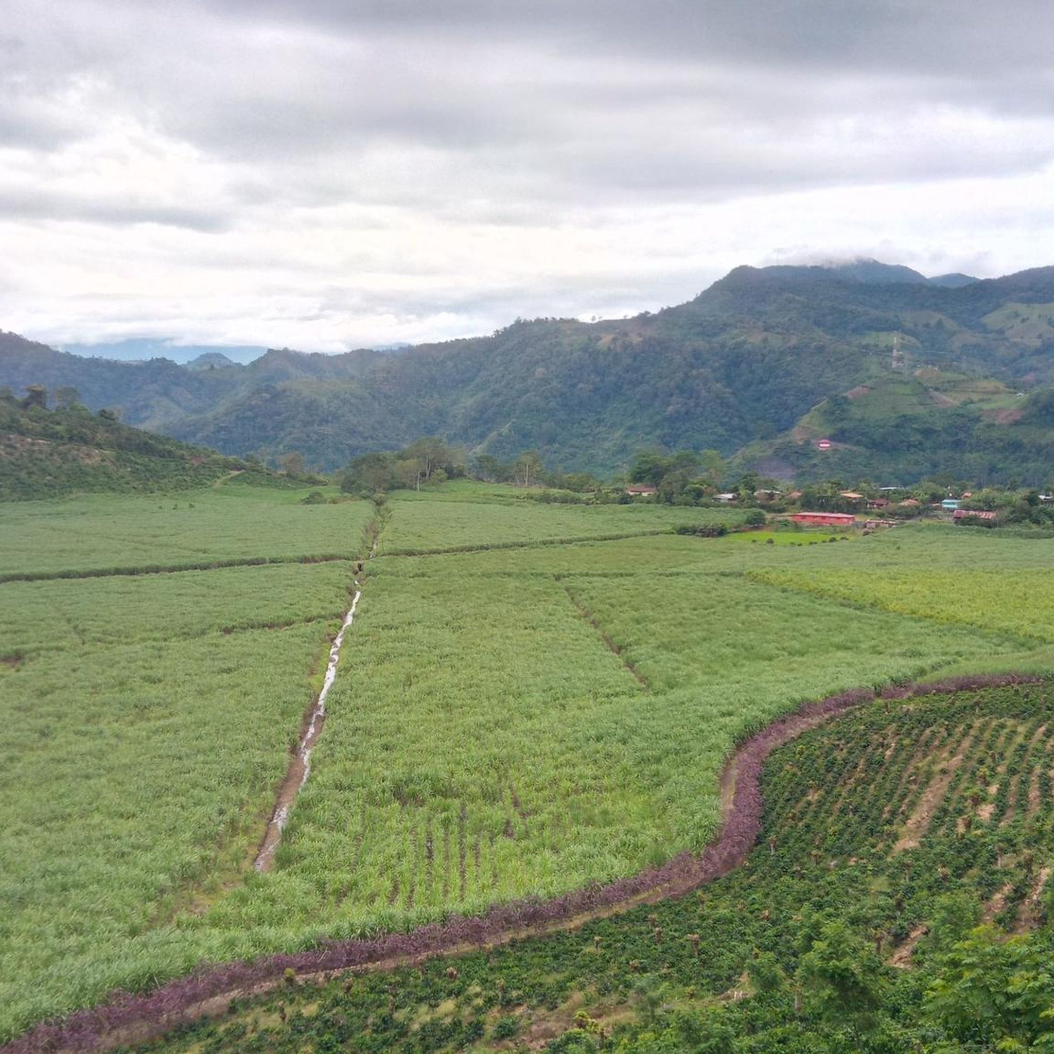
Road cycling routes in Reserva Forestal Los Santos traverse the Talamanca Mountains, offering diverse landscapes and challenging terrain. The region is characterized by strong slopes and significant altitude variations, with elevations ranging from 700 meters to over 3,400 meters above sea level. Cyclists encounter various humid tropical forests, including cloud forests, and navigate areas featuring deep canyons carved by rivers like the Naranjo and Savegre. These routes provide demanding climbs and descents through a biologically rich environment.
Best road cycling…
Last updated: July 17, 2026
8
riders
74.7km
04:12
1,610m
1,610m
Hard road ride. Very good fitness required. Mostly well-paved surfaces and easy to ride.
3
riders
36.7km
02:23
1,120m
1,120m
Hard road ride. Very good fitness required. Mostly well-paved surfaces and easy to ride.

Sign up for free
8
riders
54.8km
03:34
1,670m
1,670m
Hard road ride. Very good fitness required. Mostly well-paved surfaces and easy to ride.
24
riders
106km
06:50
3,180m
3,180m
Hard road ride. Very good fitness required. Some segments of this route may be unpaved and difficult to ride.
39
riders
132km
08:11
3,310m
3,310m
Hard road ride. Very good fitness required. Some segments of this route may be unpaved and difficult to ride.
Our route recommendations are based on thousands of hikes, rides, and runs completed by other people on komoot.
Start today with a free account
Your next adventure awaits.
Login or Signup
Popular around Reserva Forestal Los Santos

Tips from the Community


Going in the summer helps you appreciate the place.
0
1
The place is very spacious, it is recommended to go in summer for good photos, completely pedalable. You can see the video "Basilica de los Angeles" on our Official Channel "BIKERS COSTA RICA" https://www.facebook.com/reel/1191863962050845
0
1

Frequently Asked Questions
What is the general terrain like for road cycling in Reserva Forestal Los Santos?
Reserva Forestal Los Santos is characterized by strong slopes and significant altitude variations, ranging from 700 meters to over 3,400 meters above sea level. You'll encounter diverse humid tropical forests, including cloud forests, and navigate areas featuring deep canyons carved by rivers. The routes primarily offer challenging climbs and descents through a biologically rich environment.
What kind of elevation changes can I expect on road cycling routes in this region?
Road cycling in Reserva Forestal Los Santos involves substantial elevation gains. For example, the Cerro de la Muerte Summit loop from Los Chespiritos 3 features over 1,600 meters of ascent, while the Cerro de la Muerte Summit loop from Río Peje includes over 3,100 meters of climbing. The region is known for its demanding mountainous terrain.
Are there any specific natural features or landmarks to look out for while cycling?
Yes, the region is rich in natural beauty. You can find stunning waterfalls like the San Gerardo de Dota Waterfall and another notable waterfall in Reserva Forestal Los Santos. The Savegre River also carves deep canyons through the landscape, offering scenic views. Elevated areas like Cerro Buenavista provide breathtaking panoramic vistas.
What are the road conditions like for cycling in Reserva Forestal Los Santos?
While many routes feature well-paved surfaces, some segments may include unpaved sections, adding to the adventurous nature of the ride. It's advisable to be prepared for varied road conditions, especially given the challenging terrain and diverse forest environments.
Are there any family-friendly or beginner-level road cycling routes?
The road cycling routes in Reserva Forestal Los Santos are primarily classified as difficult, suitable for experienced road cyclists seeking significant elevation changes. The region's strong slopes and substantial altitude variations mean that most routes are quite challenging and may not be ideal for beginners or young families.
What is the best time of year for road cycling in Reserva Forestal Los Santos?
The reserve experiences various types of humid tropical forests, including cloud forests. While specific best months aren't detailed, generally, the dry season (December to April) in Costa Rica offers more predictable weather and clearer roads, which might be preferable for challenging road cycling routes.
Are there places to stop for food or accommodation near the cycling routes?
The region has communities and private properties within the reserve, which often means there are local establishments. While specific cafes or hotels aren't listed for each route, places like Cedrela Eco Lodge are present, suggesting options for rest and refreshment are available in the area.
What kind of wildlife might I encounter while cycling?
Reserva Forestal Los Santos is biologically diverse. Cyclists might spot various avian species, including the resplendent quetzal, especially in the cloud forest areas. Other wildlife present includes tapirs, coatis, jaguars, and various reptiles, though sightings of larger mammals are less common on roads.
Are there any permits required for road cycling in the reserve?
The provided information does not specify any permits required specifically for road cycling on public roads within Reserva Forestal Los Santos. However, if you plan to enter specific private properties or protected areas off the main routes, it's always best to check with local authorities or landowners.
How many road cycling routes are available in Reserva Forestal Los Santos?
There are 5 road cycling routes detailed in this guide for Reserva Forestal Los Santos, all of which are classified as difficult due to the challenging terrain and significant elevation changes.
What do other road cyclists enjoy most about cycling in Reserva Forestal Los Santos?
Over 80 road cyclists have explored Reserva Forestal Los Santos with komoot. They frequently praise the challenging climbs, the unique experience of cycling through cloud forests, and the dramatic scenery of deep river canyons. The region is highly regarded by those seeking demanding rides in a stunning natural setting.
Can you recommend a challenging long-distance route?
For a challenging long-distance ride, consider the View of Irazú Volcano – Copatchi loop from Tres Ríos. This route covers over 130 km and features more than 3,100 meters of elevation gain, offering a truly demanding experience for advanced cyclists.
Most popular routes in Reserva Forestal Los Santos
Most popular attractions in Reserva Forestal Los Santos

Get inspired with the komoot mobile app


Explore more
Browse the best Road cycling routes in other regions.
