The best cycling routes in Capilano Watershed
4.7
(457)
6,232
riders
46
rides
Touring cycling in Capilano Watershed offers a diverse landscape for riders. The region is characterized by its proximity to coastal areas, featuring routes that incorporate beaches and bridges, alongside trails that traverse parklands and follow waterways. Elevation changes are present, ranging from gentle inclines to more challenging climbs, providing varied experiences for touring cyclists. The watershed environment often includes forested sections and views of the surrounding natural and urban interfaces.
Best touring cycling routes in Capilano Watershed
- The most popular touring cycling route is Hollyburn Sailing Club Beach loop from Capilano Suspension Bridge Park, an 18.0 miles (29.0 km) trail that takes 1 hour 49 minutes to complete. This route connects a beach area with a notable park, offering varied scenery.
- Another top favourite among local touring cyclists is Bridgeman Park Bridge – 3rd Street Bike Bridge loop from Handsworth, a difficult 22.6 miles (36.3 km) path. This route incorporates multiple bridge crossings, providing distinct views and a more challenging profile.
- Local touring cyclists also love the Hollyburn Sailing Club Beach loop from West Vancouver, a 10.8 miles (17.5 km) trail leading through coastal areas, often completed in about 1 hour 3 minutes.
- Touring cycling in Capilano Watershed is defined by coastal paths, bridge crossings, and parkland trails. The network offers options for different ability levels, from easy loops to more challenging routes with significant elevation gain.
- The routes in Capilano Watershed are highly rated by the komoot community with an average score of 4.75 stars from over 400 reviews. More than 6000 touring cyclists have used komoot to explore Capilano Watershed's varied terrain.
Last updated: August 29, 2026
4.0
(1)
16
riders
Moderate bike ride. Good fitness required. Mostly paved surfaces. Suitable for all skill levels.
8
riders
Hard bike ride. Very good fitness required. Mostly paved surfaces. Suitable for all skill levels.

Sign up for free
13
riders
Moderate bike ride. Good fitness required. Mostly paved surfaces. Suitable for all skill levels.
4.8
(233)
2,930
riders
34.7km
02:11
230m
230m
Moderate bike ride. Good fitness required. Mostly paved surfaces. Suitable for all skill levels.
4.8
(31)
529
riders
51.9km
04:08
650m
650m
Hard bike ride. Very good fitness required. Mostly paved surfaces. Suitable for all skill levels.
Get access to more routes and recommendations from other explorers.
Sign up for free
Already have an account?
Our route recommendations are based on thousands of hikes, rides, and runs completed by other people on komoot.
Start today with a free account
Your next adventure awaits.
Login or Signup

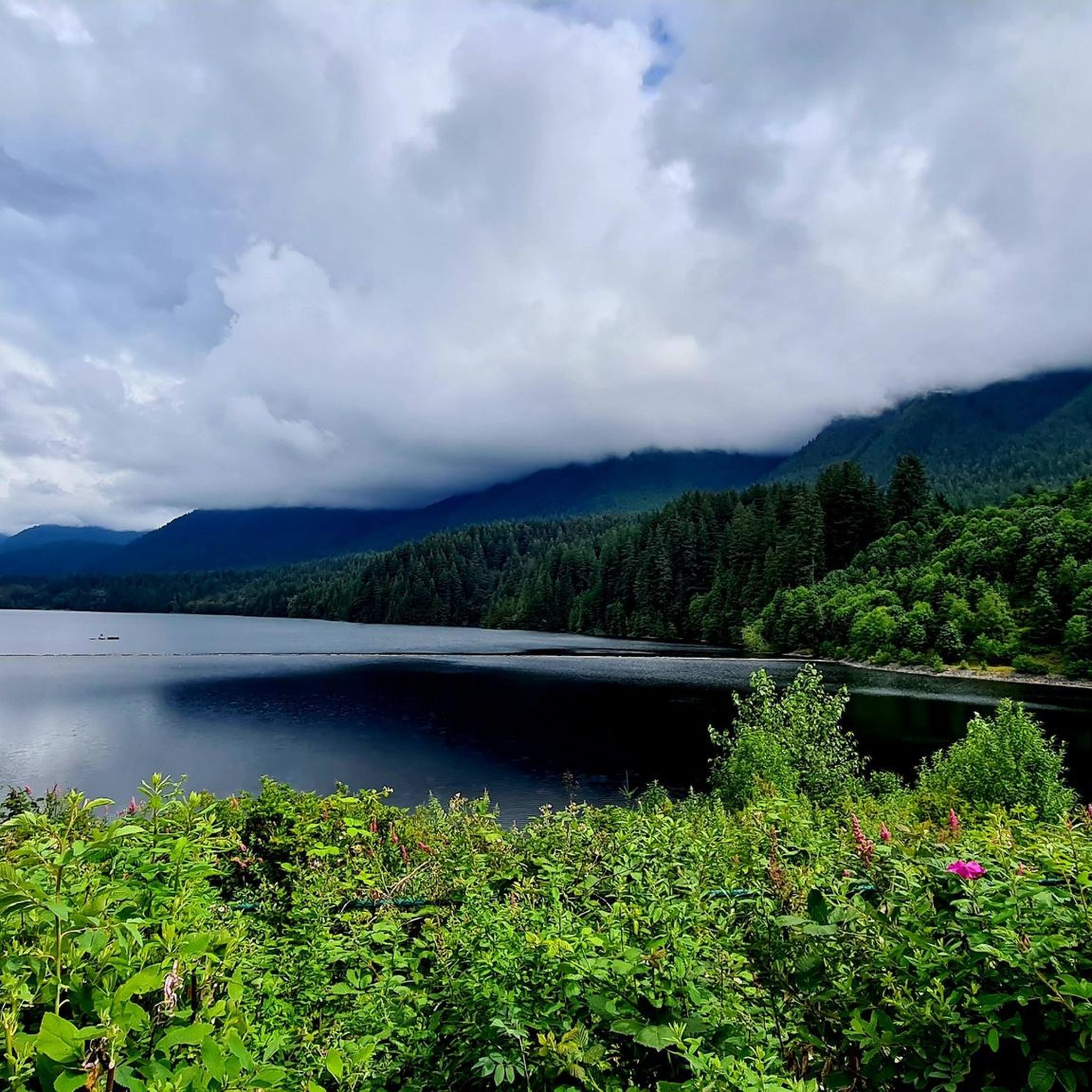
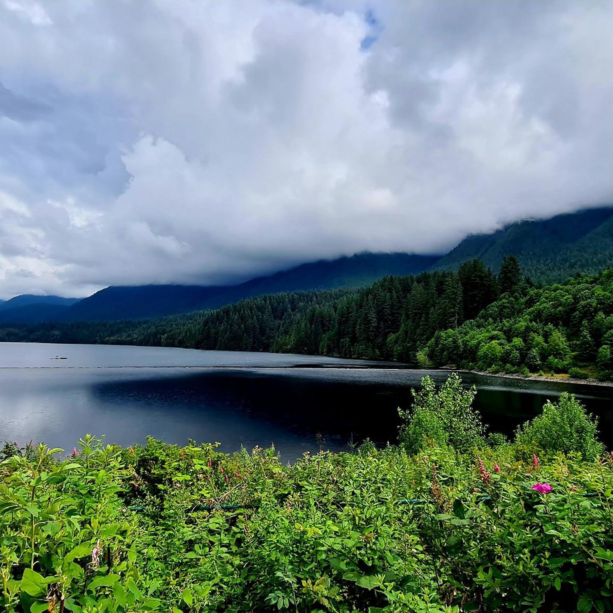
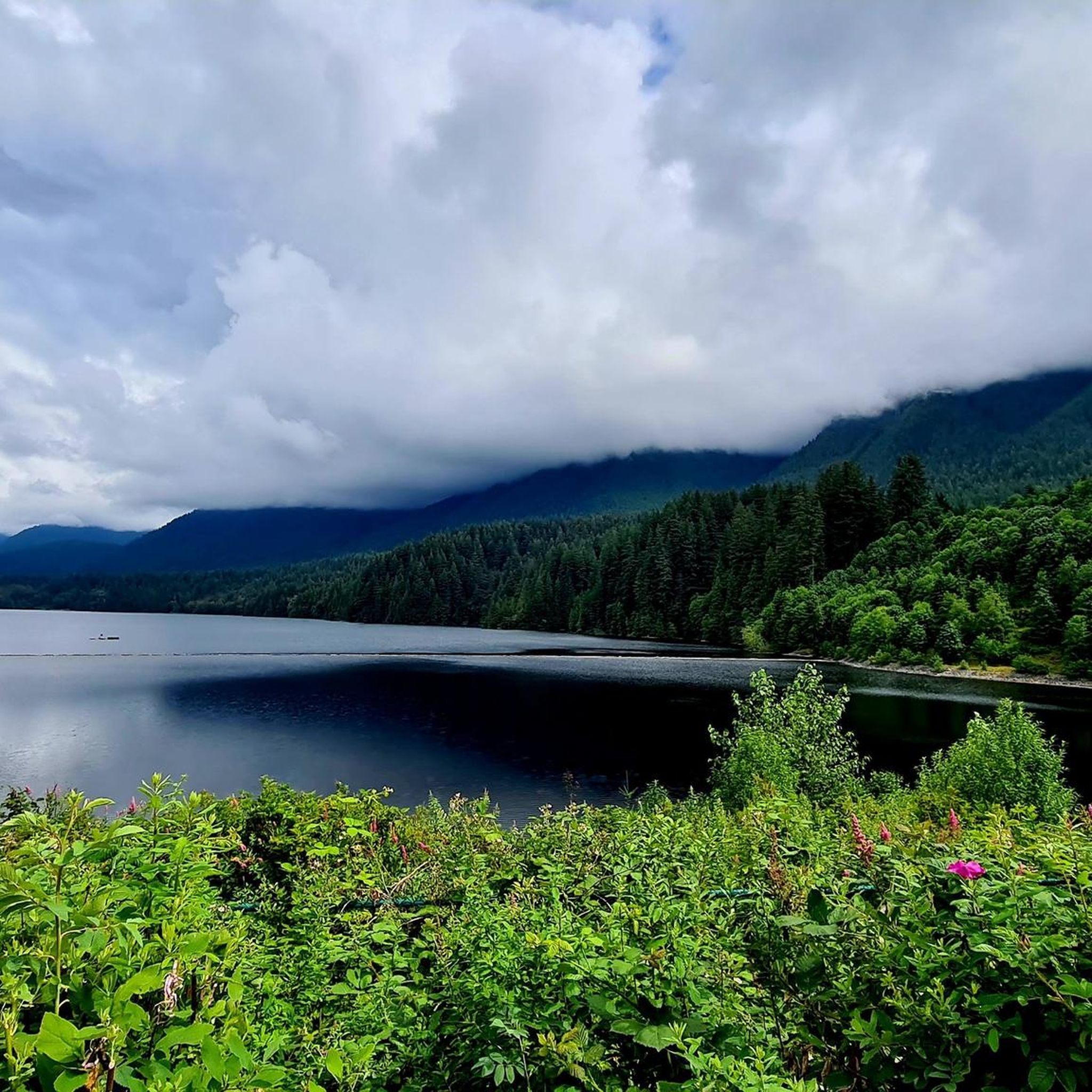
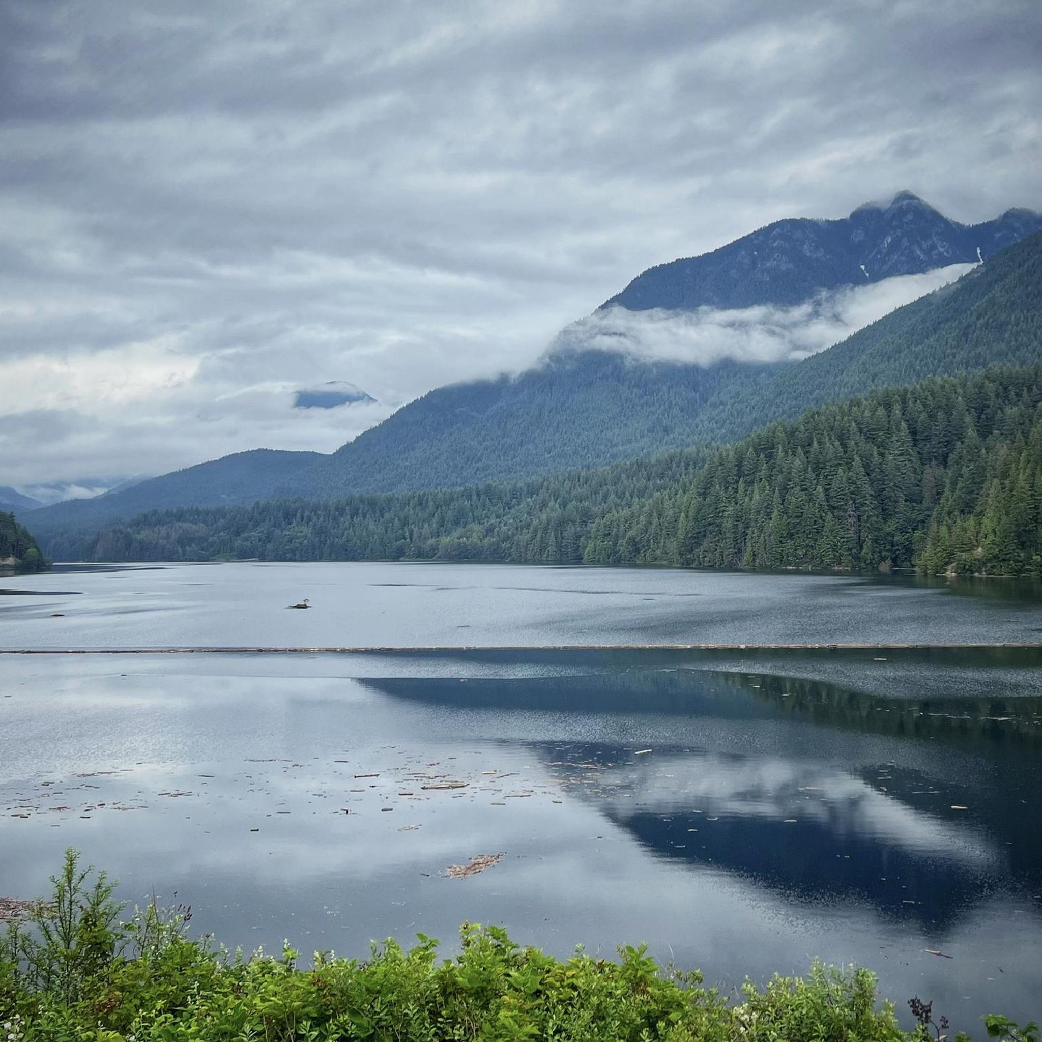
Other adventures in Capilano Watershed

Tips from the Community

immersion not recommended due to poor water quality in a port area
0
0

Here, the Avison Trail crosses over Stanley Park Causeway via a sidewalk on Stanley Park Drive and gives one of the best viewpoints over Lions Gate Bridge. There is an informational sign on the sidewalk about the bridge, and the viewpoints look straight down the bridge from between the forests.
1
0

The Spirit Trail follows the coast of North Van, passing by the pond and sports courts here in Ambleside Park. The trail is divided into two lanes, one for hiking and slower cyclists and one for commuting cyclists.
0
0
The southern end of the Mosquito Creek trail takes you through Mosquito Creek park, where there are some wooded trails to explore, to a playground and trailhead off W 17th.
0
0

Located right near the peaceful Roche Point Park, this club offers you a chance to enjoy nature while playing on a high-quality course. Even if you are not a golfer, the area around the club is perfect for a relaxing stroll, as the nearby park trails offer a calm space to listen to the birds and enjoy the local plants.
0
0

A really beautiful place to walk.
3
0
A very nice place to walk.
2
0

In Vancouver's beautiful Stanley Park, you can admire several totem poles for free. Each one has an explanation, and the path to the pole is signposted.
1
0
Frequently Asked Questions
How many touring cycling routes are available in Capilano Watershed?
There are over 50 touring cycling routes in Capilano Watershed, offering a wide range of options for different skill levels and preferences.
Are there easy touring cycling routes suitable for beginners in Capilano Watershed?
Yes, Capilano Watershed offers several easy touring cycling routes. For instance, the Hollyburn Sailing Club Beach loop from West Vancouver is an easy 10.8-mile (17.5 km) trail that leads through coastal areas, often completed in about 1 hour 3 minutes.
Are there challenging touring cycling routes for experienced riders in Capilano Watershed?
Absolutely. For those seeking a challenge, routes like the Bridgeman Park Bridge – 3rd Street Bike Bridge loop from Handsworth offer a difficult 22.6-mile (36.3 km) path with significant elevation changes and multiple bridge crossings. Another demanding option is the Halfway Hairpin – Seymour Trailway loop from North Vancouver, which spans over 32 miles (52 km) with considerable ascent.
What are the typical distances and elevation gains for touring cycling routes in Capilano Watershed?
Routes in Capilano Watershed vary significantly. Easy routes might be around 10-15 miles (16-24 km) with less than 300 feet (90 m) of elevation gain, while more difficult routes can extend over 30 miles (48 km) with more than 1,600 feet (490 m) of climbing, such as the Bridgeman Park Bridge – 3rd Street Bike Bridge loop from Handsworth.
What can I see along the touring cycling routes in Capilano Watershed?
Many routes offer diverse scenery, from coastal paths and beaches to forested sections and views of urban interfaces. You might pass by notable attractions such as Cleveland Dam and Capilano Lake. Some routes also provide stunning viewpoints like St. Mark's Summit Viewpoint.
Are there circular touring cycling routes in Capilano Watershed?
Yes, many touring cycling routes in Capilano Watershed are designed as loops, allowing you to start and end at the same point. Examples include the popular Hollyburn Sailing Club Beach loop from Capilano Suspension Bridge Park and the challenging Bridgeman Park Bridge – 3rd Street Bike Bridge loop from Handsworth.
What do other touring cyclists enjoy most about the routes in Capilano Watershed?
The area is highly rated by the komoot community, with an average score of 4.75 stars from over 400 reviews. Reviewers often praise the diverse landscape, which includes coastal paths, bridge crossings, and parkland trails, offering varied experiences for all ability levels.
Is public transport accessible for touring cyclists in Capilano Watershed?
Capilano Watershed is generally accessible, and public transport options in the wider Vancouver area, including bus routes, can often connect to trailheads or starting points for cycling routes. It's advisable to check local transit schedules and bike-on-bus policies for specific routes.
Where can I park when touring cycling in Capilano Watershed?
Parking availability varies by trailhead and starting point. Many popular access points, especially near parks and attractions like Capilano Suspension Bridge Park, offer designated parking. It's recommended to check specific route details or local parking information for your chosen starting location.
What is the best time to visit Capilano Watershed for touring cycling?
The Capilano Watershed region is enjoyable for touring cycling through much of the year. Spring and fall offer pleasant temperatures and vibrant scenery, while summer provides longer daylight hours. Even in winter, some lower-elevation coastal routes might be accessible, though conditions can be wetter.
Are there family-friendly touring cycling routes in Capilano Watershed?
Yes, Capilano Watershed has options suitable for families. The region's network includes easy loops and trails with gentle inclines, particularly those traversing parklands and following waterways, which are often ideal for family outings. The Hollyburn Sailing Club Beach loop from West Vancouver is an easy option that could be suitable for families.
Are there cafes or places to stop for refreshments near the touring cycling routes?
Given the proximity to urban areas like West Vancouver and North Vancouver, many routes in Capilano Watershed are close to amenities. You'll find cafes, restaurants, and shops in nearby communities where you can stop for refreshments and supplies before, during, or after your ride.
Most popular routes in Capilano Watershed
Most popular attractions in Capilano Watershed

Get inspired with the komoot mobile app


Explore more
Browse the best Cycling routes in other regions.
