The best cycling routes in Rouge National Park
4.6
(125)
1,135
riders
67
rides
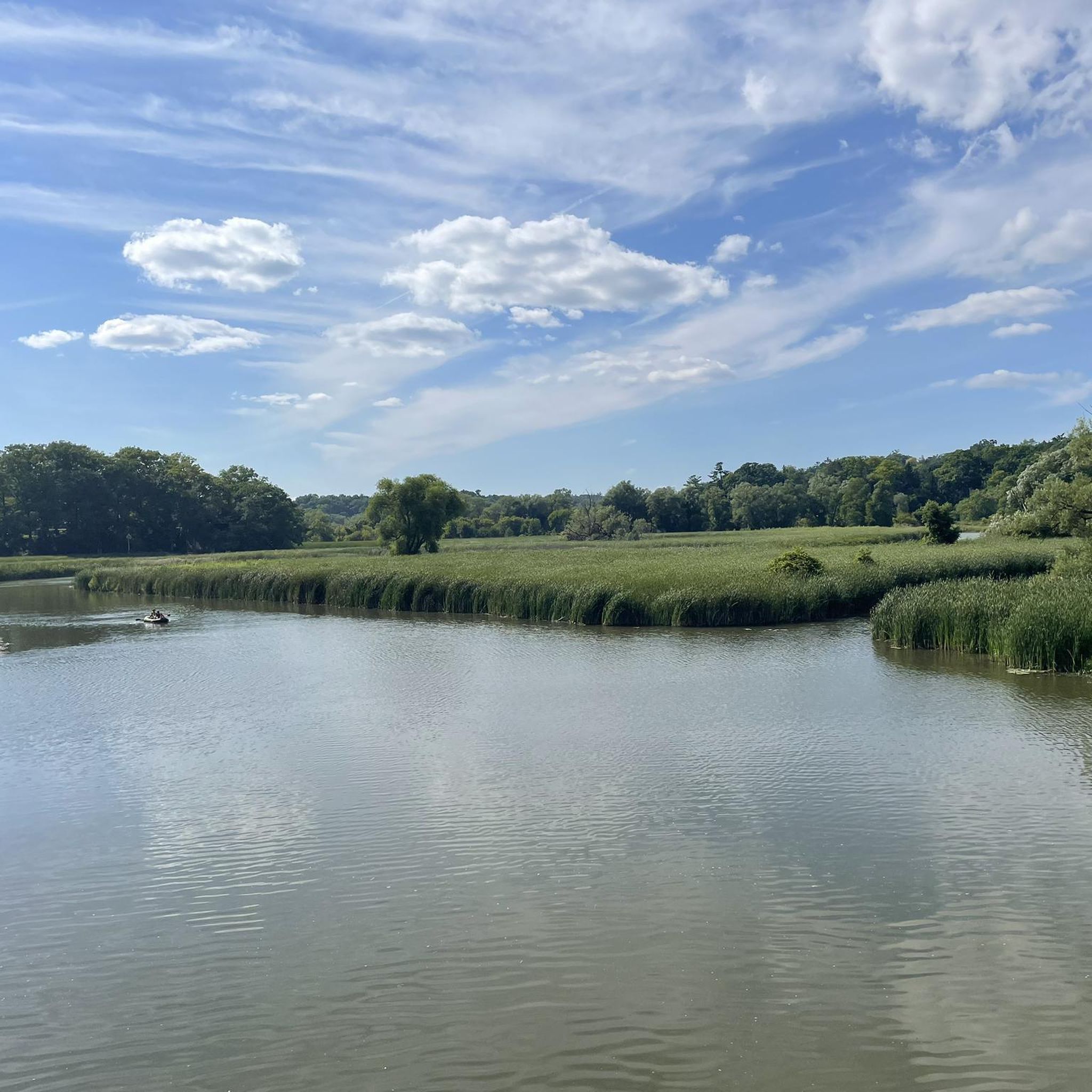
Touring cycling routes in Rouge National Park traverse a diverse landscape spanning 79 square kilometers, from the Lake Ontario shoreline to the Oak Ridges Moraine. The park features a mosaic of habitats, including meadows, dense forests, and vital wetlands, alongside active farmlands. The Rouge River flows through the park, leading to the Rouge Marsh, the largest remaining wetland in Toronto. Cyclists encounter gentle rolling hills and a mix of paved surfaces and quiet country roads.
Best touring cycling routes in Rouge National Park
- The most popular touring cycling route is Bike loop from Markham—Stouffville, a 18.0 miles (29.0 km) trail that takes 2 hours 25 minutes to complete. This moderate route offers varied terrain through the park's northern sections.
- Another top favourite among local touring cyclists is Bike loop from Rouge National Urban Park, an easy 7.9 miles (12.7 km) path. This route provides an immersive experience through forests and open areas.
- Local touring cyclists also love the Waterfront Trail Bridge – View of Pickering Beach loop from Dunbarton High School, a 21.3 miles (34.3 km) trail leading through coastal areas and marshlands, often completed in about 2 hours 3 minutes.
- Touring cycling in Rouge National Park is defined by meadows, dense forests, and active farmlands, with routes often following the Rouge River. The network offers options for different ability levels, from easy loops to more challenging moderate paths.
- The routes in Rouge National Park are highly rated by the komoot community with an average score of 4.6 stars from over 100 reviews. More than 1200 touring cyclists have used komoot to explore Rouge National Park's varied terrain.
Last updated: October 18, 2026
4.5
(4)
34
riders
Moderate bike ride. Good fitness required. Mostly paved surfaces. Suitable for all skill levels.
5.0
(1)
6
riders
Moderate bike ride. Good fitness required. Mostly paved surfaces. Suitable for all skill levels.

4.4
(5)
55
riders
21.8km
01:41
90m
90m
Easy bike ride. Great for any fitness level. Mostly paved surfaces. Suitable for all skill levels.
4.4
(5)
46
riders
Moderate bike ride. Good fitness required. Mostly paved surfaces. Suitable for all skill levels.
35
riders
Moderate bike ride. Good fitness required. Mostly paved surfaces. Suitable for all skill levels.
Get access to more routes and recommendations from other explorers.
Already have an account?
Our route recommendations are based on thousands of hikes, rides, and runs completed by other people on komoot.
Start today with a free account
Your next adventure awaits.
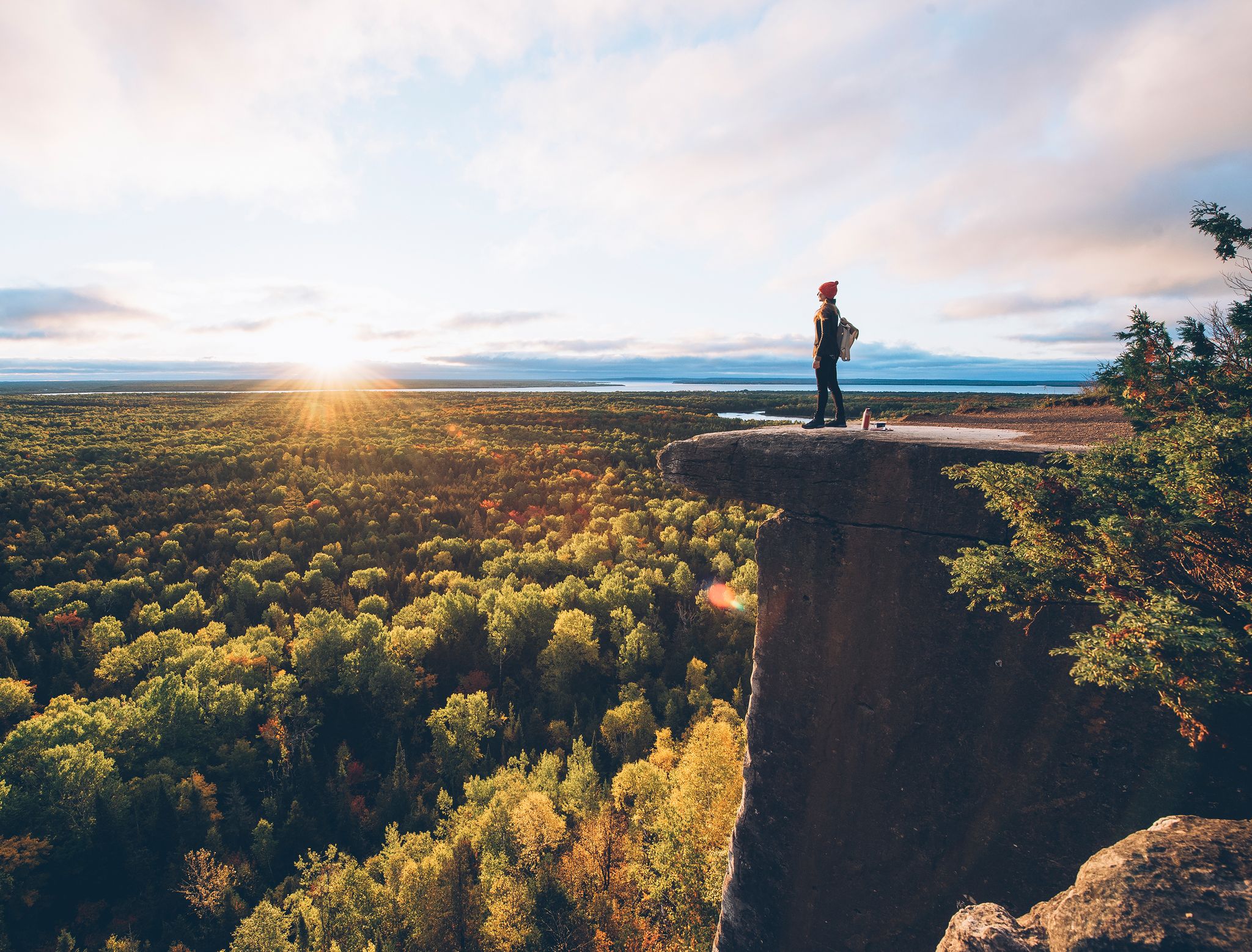
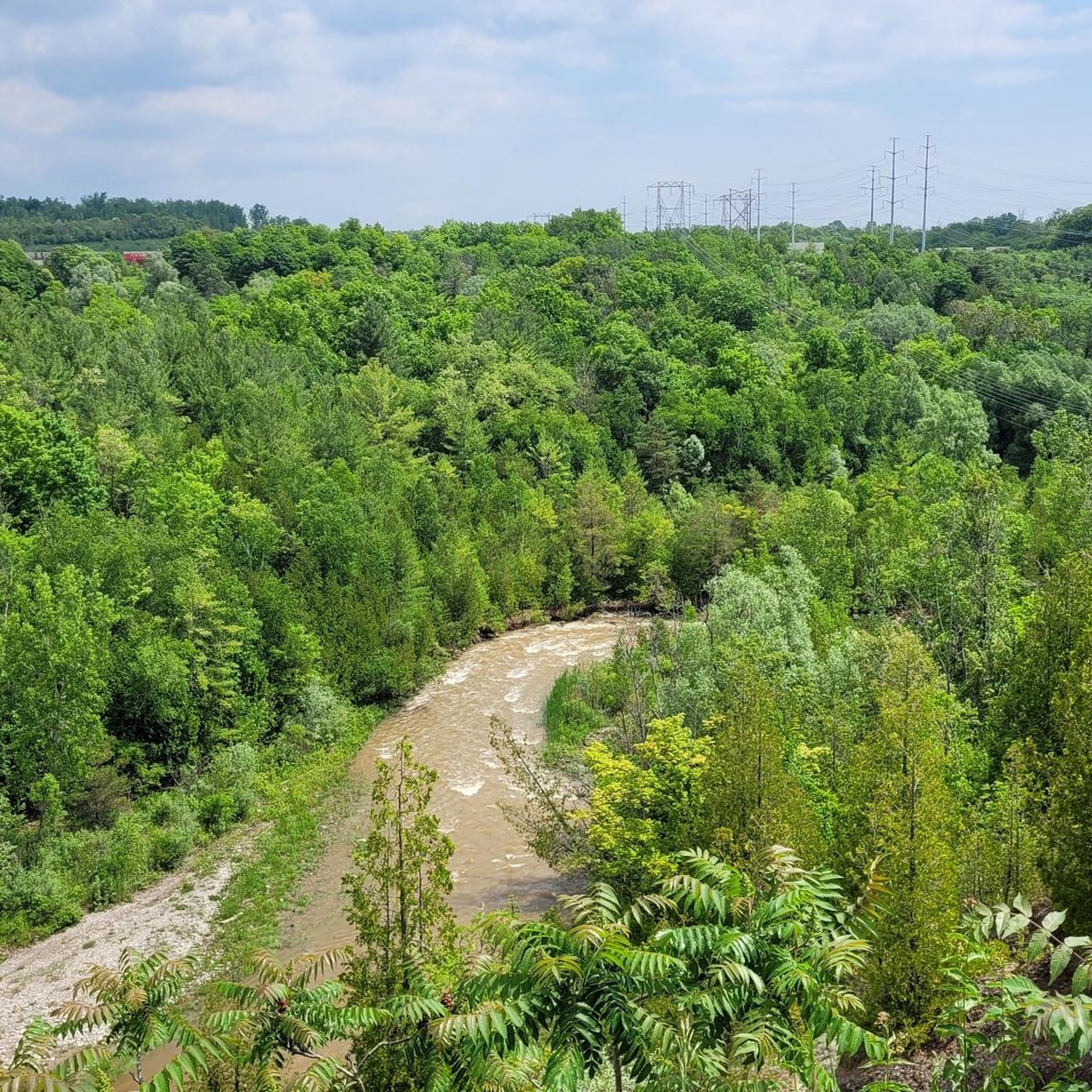
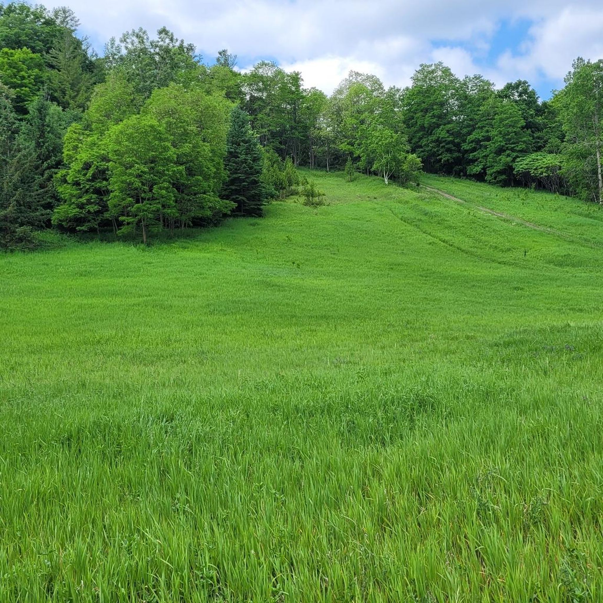

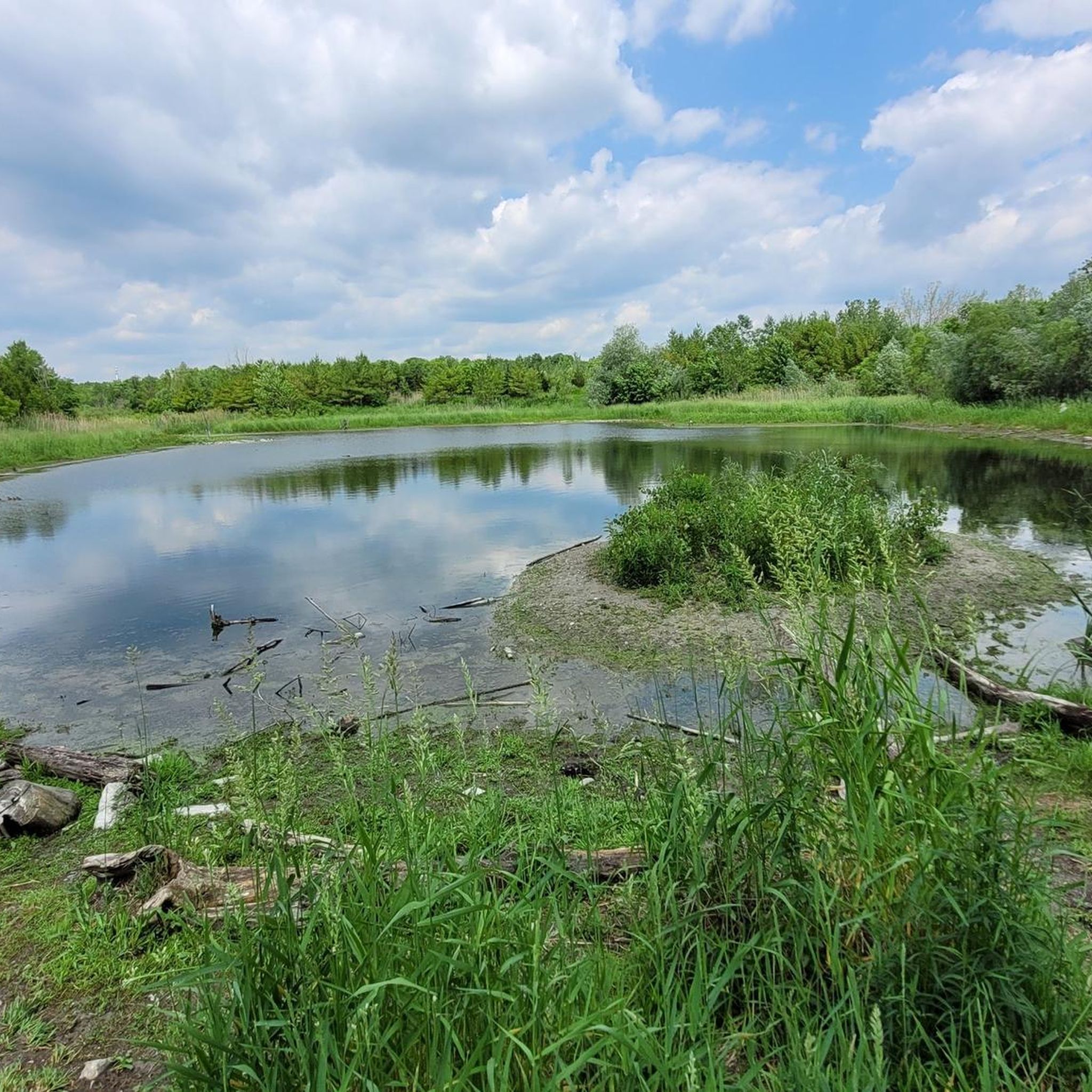
Other adventures in Rouge National Park

Tips from the Community

The entirety of the Rouge National Park Trail spans just over 70 kilometres, and the Major MacKenzie Section is 6.8 kilometres, stretching from 16th Avenue to Major MacKenzie Drive East, both locations having a parking area and trailhead. The other sections include Northeast Trail, Central Trail, Monarch Trail and the Harvest Trail. This section is flat with wide open views of forests, farm land, and small waterways. The trail is made of gravel and has little shade, so come prepared with sun protection.
0
0
The Major Mackenzie Parking Lot and Road Crossing is a well-maintained parking area and access to the Rouge National Urban Park Trail. The parking lot is paved and has a safe pedestrian crossing with its own designated stop light for crossings. Just a few metres north from the Major Mackenzie Parking Lot and Road Crossing is a small scenic pond. The Rouge National Park Trail skirts the pond with a well-maintained wooden boardwalk.
1
0
This wooden pedestrian and cycle bridge spans an offshoot of Little Rouge Creek. It is a great bridge to spot some wildlife while crossing.
0
0

Access to Rouge Beach and the pedestrian bridge over the Rouge River on the Great Lakes Waterfront Trail will be closed from late fall 2025 until approximately spring 2027. As part of the Rouge Beach Improvements Project, the wetland within Rouge National Urban Park between Highway 401 and Lake Ontario will be enhanced, including the restoration of the Rouge marshland and the creation of a hiking trail connecting the southern portion of the wetland to the well-established portion north of Highway 401, the Mast Trail. Detour recommendations for the Waterfront Trail are posted on information signs and the Parks Canada website. https://www.pickering.ca/parks-recreation-culture/waterfront/#NoticeofRougeBeachandGreatLakesWaterfrontTrailClosure https://parks.canada.ca/pn-np/on/rouge/securite-safety/bulletins/60b30b1b-ad37-4883-9eb7-4ee3bed86804 (Visited June 15, 2026)
0
0
Petticoat Creek Conservation Park is a 70-hectare park above the bluffs of Lake Ontario in Pickering. The park was opened in the 1970s and is owned and operated by the Toronto and Region Conservation Authority (TRCA). The Petticoat Creek area has a long Indigenous history, with former settlements of Huron and Irokes peoples and likely a different name in the past. The name "Petticoat" comes from Petite Côte, a term used by French settlers in the 17th century to describe the irregularities of the creek's bank at its mouth. https://trca.ca/parks/petticoat-creek-conservation-area (Visited on June 15, 2026)
0
0

This trailhead is located in the small community of Altona and provides access to the northern and southern sections of the Rouge National Urban Park Trail. From here, you can head east a few steps along Uxbridge-Pickering Townline Road to connect with the trail north toward Glasgow or head south to Black Walnut Day Use Area.
0
0
Rouge National Urban Park Trail is an easy, beautiful multi-use route through one of Canada’s most diverse protected landscapes, connecting forests, wetlands, meadows, and working farmland. It’s a well-maintained path with a few boardwalks that cross creeks and pass restored natural areas, with excellent opportunities to spot birds, turtles, and other wildlife. It’s a great way to experience the unique mix of nature and active farmland that makes Rouge National Urban Park unlike any other national park.
0
0
Black Walnut Day Use Area is a hub for access to several trails in Rouge National Urban Park. There is ample free parking, washrooms, water refill stations, picnic areas, and trail information, making it a convenient place to start and end your journey. From here, you can explore trails through restored wetlands, forests, and the park’s historic agricultural landscape.
0
0
Frequently Asked Questions
How many touring cycling routes are available in Rouge National Park?
Rouge National Park offers a wide selection of touring cycling routes, with over 70 options available. These routes cater to various skill levels, ensuring there's something for everyone.
What kind of terrain can I expect on touring cycling routes in Rouge National Park?
You can expect a diverse landscape, from gentle rolling hills to flat sections. Routes wind through lush meadows, dense forests, vital wetlands, and active farmlands. The park features a mix of paved surfaces, quiet country roads, and multi-use pathways, providing a varied and engaging cycling experience.
What are the difficulty levels of touring cycling routes in Rouge National Park?
The routes in Rouge National Park range from easy to moderate, with a few more challenging options. Approximately 35 routes are considered easy, 37 are moderate, and a small number are difficult, offering choices for all experience levels.
When is the best time of year to go touring cycling in Rouge National Park?
The best time for touring cycling is generally from spring through fall, when the weather is mild and the natural scenery is at its peak. The park's diverse ecosystems, including meadows and forests, are particularly vibrant during these seasons. While some routes may be accessible in winter, conditions can vary, and specific gear like fat bikes might be needed.
Are there options for parking when visiting Rouge National Park for cycling?
Yes, Rouge National Park provides various parking facilities. Many popular cycling routes, especially those along dedicated cycling roads like Meadowvale Road, Beare Road, and Reesor Road, have accessible parking areas. It's advisable to check specific trailhead information for the most convenient parking for your chosen route.
Can I reach Rouge National Park's cycling trails using public transport?
Yes, Rouge National Park is accessible via public transport, particularly from the Greater Toronto Area. Several routes are located near public transit stops, making it convenient for cyclists to reach the park without a car. Specific bus routes often serve areas close to trailheads, including those near the Toronto Zoo.
Are there family-friendly touring cycling routes in Rouge National Park?
Absolutely. Rouge National Park offers numerous easy routes suitable for families. For instance, the Bike loop from Cornell is an easy 12.8 km path that takes just over an hour to complete, perfect for a leisurely family outing. These routes often feature multi-use pathways and quieter roads.
Are there any circular touring cycling routes in Rouge National Park?
Yes, many touring cycling routes in Rouge National Park are designed as loops, allowing you to start and end at the same point. Popular examples include the moderate Bike loop from Markham—Stouffville and the Bike loop from Ringwood, both offering immersive experiences through the park's varied landscapes.
What natural features or landmarks can I see along the touring cycling routes?
Cycling routes in Rouge National Park offer views of diverse natural features. You can explore trails near the Rouge River, which flows into the Rouge Marsh, Toronto's largest remaining wetland. The park also features scenic vistas like the Vista Trail Observation Deck, and trails like the Mast Trailhead that wind through forests and meadows.
Can I spot wildlife while touring cycling in Rouge National Park?
Rouge National Park is home to remarkable biodiversity, with over 1,700 species of plants and animals. While cycling, you have a good chance of spotting wildlife such as deer, beavers, coyotes, and various bird species, especially in the quieter forest and wetland areas. The park's Carolinian ecosystems provide rich habitats for these animals.
What do other touring cyclists enjoy most about cycling in Rouge National Park?
The area is highly rated by the komoot community, with an average score of 4.6 stars from over 100 reviews. Cyclists often praise the park's diverse landscapes, from active farmlands to dense forests, and the sense of escape from the urban environment provided by its quiet country roads and gentle rolling hills.
Are there any longer touring cycling routes for experienced riders?
Yes, for more experienced riders seeking a longer challenge, routes like the View of Pickering Beach – Waterfront Trail Bridge loop from Rouge Hill offer a substantial ride. This moderate route spans over 62 km and features significant elevation changes, providing a rewarding experience through coastal areas and marshlands.
Most popular routes in Rouge National Park
Most popular attractions in Rouge National Park

Get inspired with the komoot mobile app


Explore more
Browse the best Cycling routes in other regions.
