The best walks and hikes in Rouge National Park
4.7
(88)
929
hikers
14
hikes
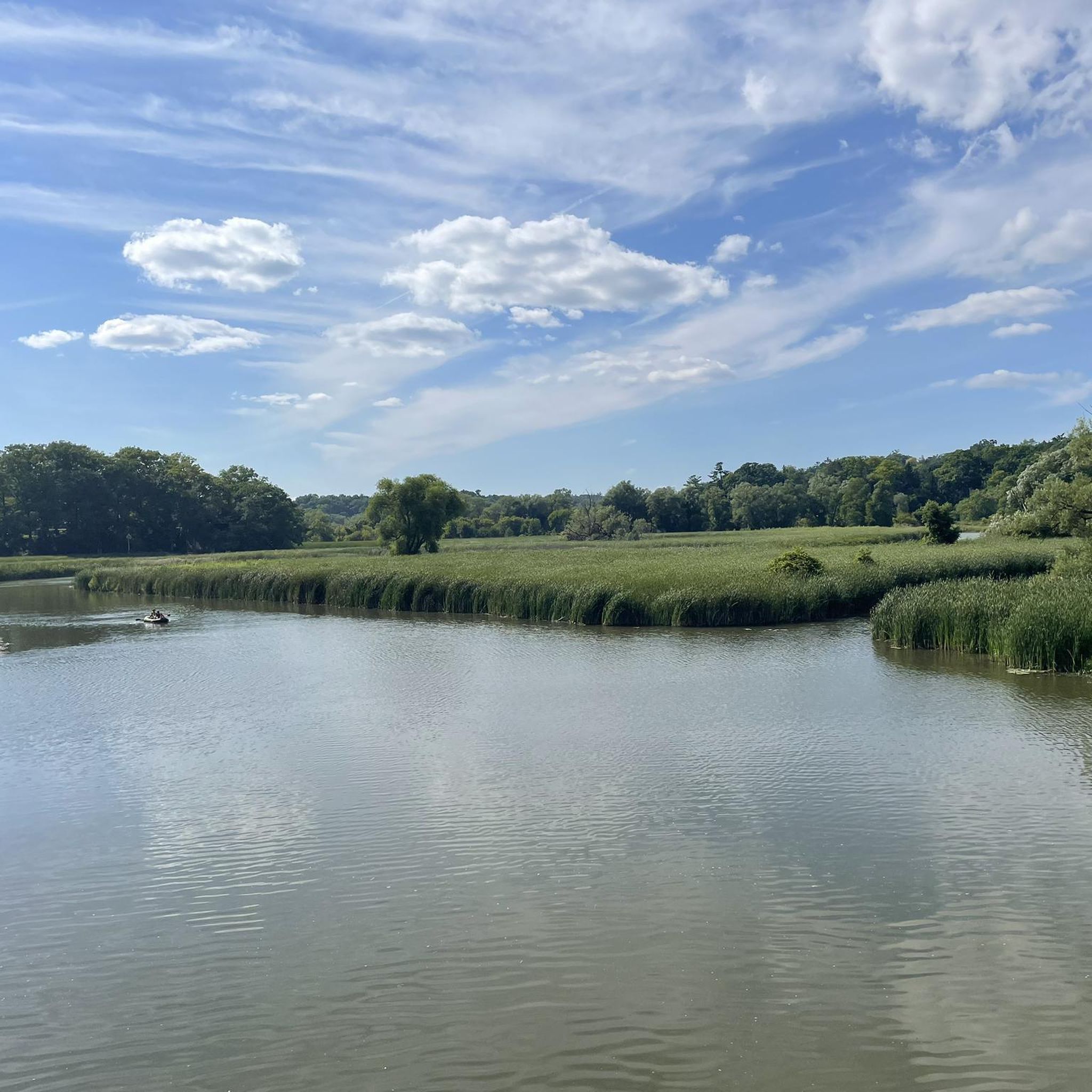
Hiking in Rouge National Urban Park offers diverse landscapes within Canada's only national urban park, located in the Greater Toronto Area. The park spans 79 square kilometers, encompassing lush forests, expansive meadows, vital wetlands, tranquil rivers, and active agricultural lands. Hikers can explore a variety of environments, including thickets, ravines, and river habitats, stretching from Lake Ontario to the Oak Ridges Moraine. This varied terrain provides a range of hiking experiences for different skill levels.
Best hiking trails in Rouge National Park
- The most popular hiking route is Mast Trail, a 1.8 miles (2.8 km) trail that takes about 45 minutes to complete. This route showcases rare Carolinian ecosystems along a historic logging path.
- Another top favourite among local hikers is Little Rouge Creek Woodland Trail loop — Rouge National Urban Park, an easy 2.1 miles (3.4 km) path. This trail winds through woodland alongside the Little Rouge Creek.
- Local hikers also love the On the Mast Trail – Rouge River loop from West Shore, a 6.2 miles (9.9 km) trail leading through river valleys and mature forests, often completed in about 2 hours 40 minutes.
- Hiking in Rouge National Park is defined by diverse forests, significant wetlands, and scenic river valleys. The park's network of routes offers options for various ability levels, from gentle strolls to longer, moderate excursions.
- The routes in Rouge National Park are highly rated by the komoot community with an average score of 4.7 stars from over 90 reviews. More than 800 hikers have used komoot to explore Rouge National Park's varied terrain.
Last updated: October 12, 2026
3
hikers
2.83km
00:46
40m
40m
Easy hike. Great for any fitness level. Easily-accessible paths. Suitable for all skill levels.
12
hikers
Easy hike. Great for any fitness level. Easily-accessible paths. Suitable for all skill levels.

6
hikers
7.67km
01:59
50m
50m
Easy hike. Great for any fitness level. Easily-accessible paths. Suitable for all skill levels.
3
hikers
15.9km
04:07
90m
90m
Moderate hike. Good fitness required. Easily-accessible paths. Suitable for all skill levels.
3
hikers
10.9km
02:48
40m
40m
Moderate hike. Good fitness required. Easily-accessible paths. Suitable for all skill levels.
Get access to more routes and recommendations from other explorers.
Already have an account?
Our route recommendations are based on thousands of hikes, rides, and runs completed by other people on komoot.
Start today with a free account
Your next adventure awaits.

Other adventures in Rouge National Park

Tips from the Community

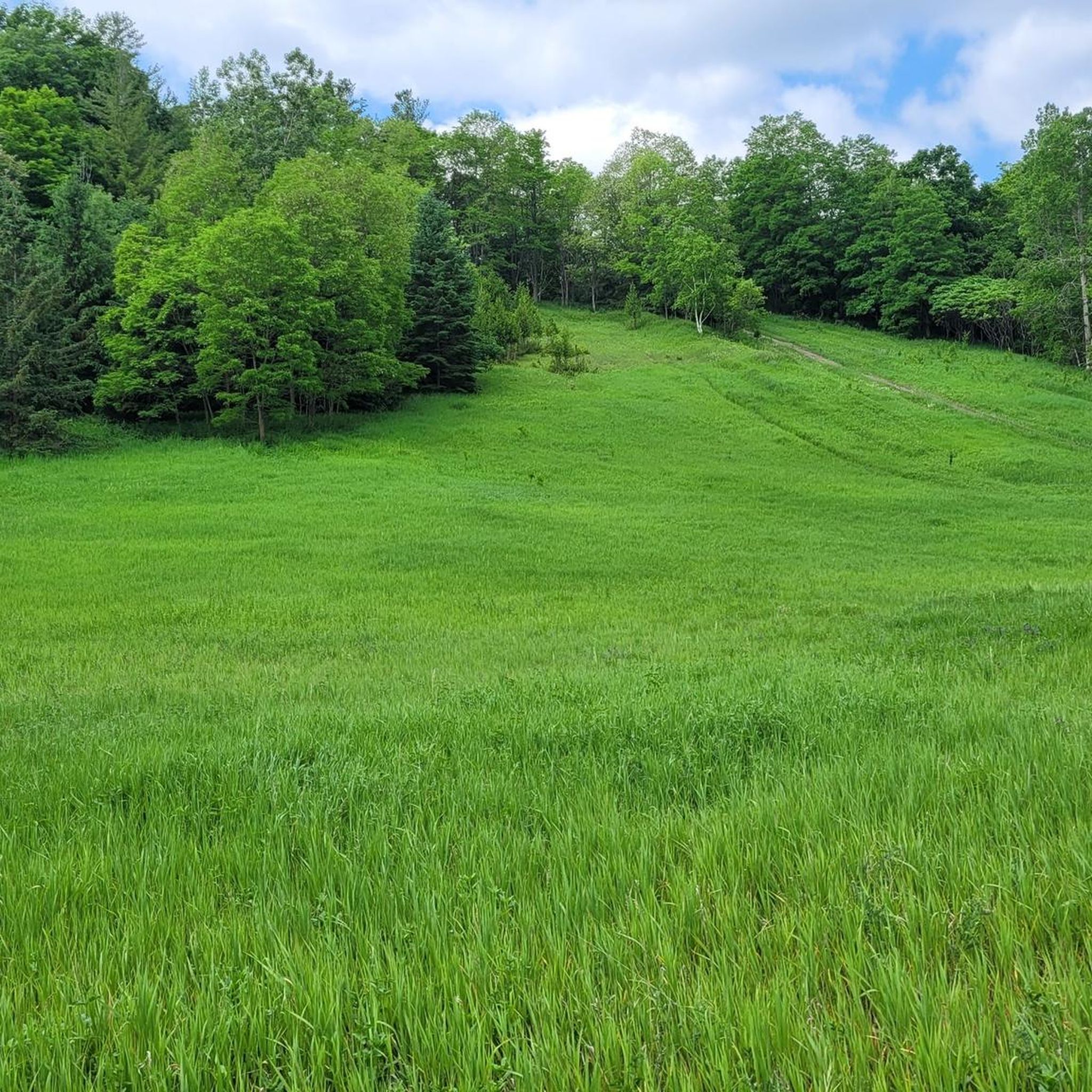
The entirety of the Rouge National Park Trail spans just over 70 kilometres, and the Major MacKenzie Section is 6.8 kilometres, stretching from 16th Avenue to Major MacKenzie Drive East, both locations having a parking area and trailhead. The other sections include Northeast Trail, Central Trail, Monarch Trail and the Harvest Trail. This section is flat with wide open views of forests, farm land, and small waterways. The trail is made of gravel and has little shade, so come prepared with sun protection.
0
0
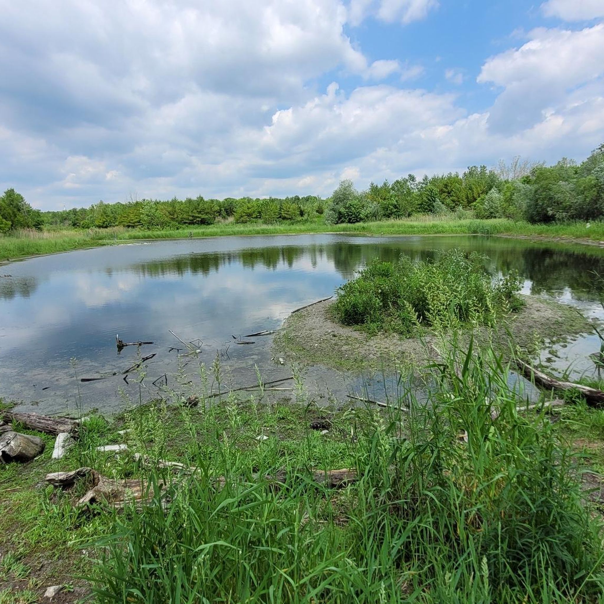
The Major Mackenzie Parking Lot and Road Crossing is a well-maintained parking area and access to the Rouge National Urban Park Trail. The parking lot is paved and has a safe pedestrian crossing with its own designated stop light for crossings. Just a few metres north from the Major Mackenzie Parking Lot and Road Crossing is a small scenic pond. The Rouge National Park Trail skirts the pond with a well-maintained wooden boardwalk.
1
0
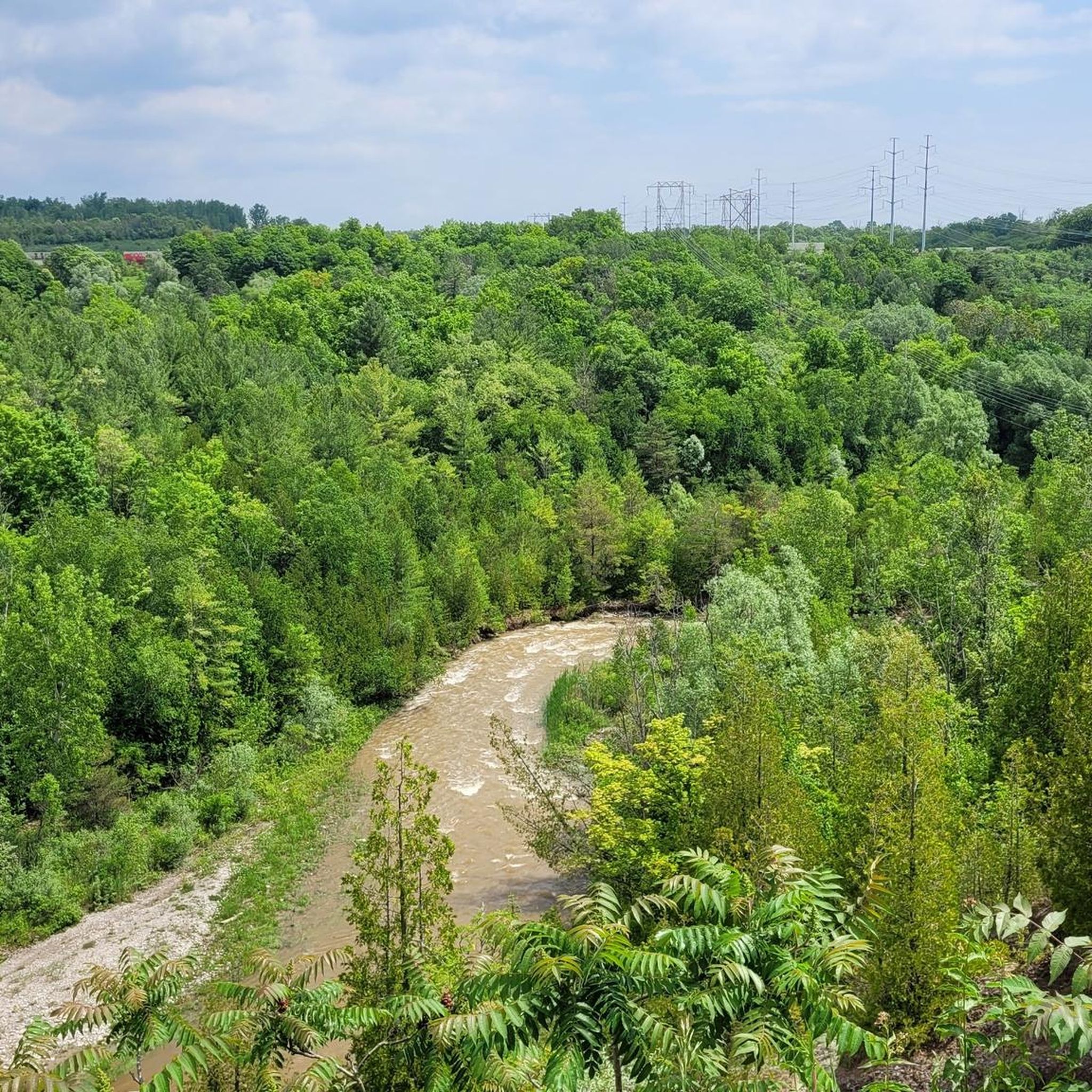
This wooden pedestrian and cycle bridge spans an offshoot of Little Rouge Creek. It is a great bridge to spot some wildlife while crossing.
0
0

In the years 2018-2023, the area south of Frenchman's Bay on the shore of Lake Ontario was converted into an environmentally sensitive area, after it had been damaged by uncontrolled use in the preceding years. The owner, the Toronto and Region Conservation Authority, and the operator, the City of Pickering, wanted to create a balance between recreational use and the environment. https://www.pickering.ca/parks-recreation-culture/waterfront/rotary-frenchmans-bay-west-park/ https://www.mbtw.com/design-portfolio/rotary-frenchmans-bay-west-park-pickering-ontario (Visit on June 15, 2026)
0
0
The Beachpoint Promenade Trail runs along the shore of Lake Ontario from West Shore Boulevard to Frenchman’s Bay West Lighthouse. The walk passes wetlands, with partial views of Frenchman’s Bay, and a sandy beach with swimming opportunities on the lakefront. Parking along the promenade is subject to a fee from May 1st to October 1st / daily from 9 AM to 10 PM). (Visit on June 15, 2026)
0
0
Petticoat Creek Conservation Park is a 70-hectare park above the bluffs of Lake Ontario in Pickering. The park was opened in the 1970s and is owned and operated by the Toronto and Region Conservation Authority (TRCA). The Petticoat Creek area has a long Indigenous history, with former settlements of Huron and Irokes peoples and likely a different name in the past. The name "Petticoat" comes from Petite Côte, a term used by French settlers in the 17th century to describe the irregularities of the creek's bank at its mouth. https://trca.ca/parks/petticoat-creek-conservation-area (Visited on June 15, 2026)
0
0

This trailhead is located in the small community of Altona and provides access to the northern and southern sections of the Rouge National Urban Park Trail. From here, you can head east a few steps along Uxbridge-Pickering Townline Road to connect with the trail north toward Glasgow or head south to Black Walnut Day Use Area.
0
0
Rouge National Urban Park Trail is an easy, beautiful multi-use route through one of Canada’s most diverse protected landscapes, connecting forests, wetlands, meadows, and working farmland. It’s a well-maintained path with a few boardwalks that cross creeks and pass restored natural areas, with excellent opportunities to spot birds, turtles, and other wildlife. It’s a great way to experience the unique mix of nature and active farmland that makes Rouge National Urban Park unlike any other national park.
0
0
Frequently Asked Questions
How many hiking trails are available in Rouge National Park?
Rouge National Park offers a diverse network of over 15 hiking trails. These routes cater to various skill levels, ranging from easy strolls to more moderate excursions, allowing hikers to explore the park's unique landscapes.
Are there easy hiking trails suitable for beginners or families?
Yes, Rouge National Park has plenty of easy trails perfect for beginners and families. For instance, the Little Rouge Creek Woodland Trail loop is an easy 3.4 km path that winds through woodlands alongside the creek. Another accessible option is the Mast Trail, a 2.8 km route showcasing rare Carolinian ecosystems.
Can I bring my dog on the hiking trails in Rouge National Park?
Yes, Rouge National Urban Park is generally dog-friendly, making it a great place to hike with your canine companion. Always ensure your dog is on a leash and that you clean up after them to help preserve the park's natural environment for everyone.
What kind of wildlife can I expect to see while hiking?
Rouge National Urban Park is a haven for wildlife, home to hundreds of species of birds, fish, mammals, reptiles, and amphibians. Hikers often spot deer, coyotes, and beavers, especially along the Rouge River and Little Rouge Creek. The park's diverse ecosystems, including forests, wetlands, and meadows, provide habitats for a wide range of flora and fauna.
Are there any scenic viewpoints or notable landmarks along the trails?
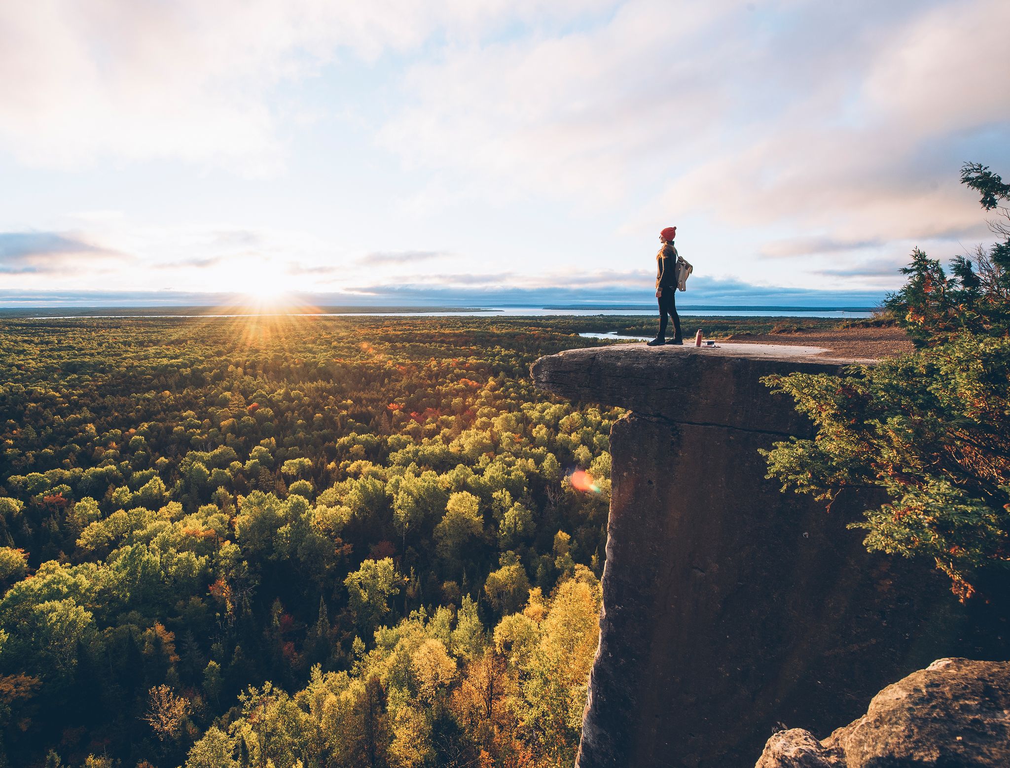
Absolutely. The park offers several scenic spots. The Vista Trail Observation Deck provides striking panoramic views of the Rouge River and Little Rouge Creek valleys, especially beautiful during autumn. You can also explore areas with traces of early European settlement, such as remnant orchards, along trails like the Orchard Trail.
What are some good options for circular or loop hikes?
For those who prefer loop trails, the park offers several excellent choices. The On the Mast Trail – Rouge River loop from West Shore is a popular 9.9 km route leading through river valleys and mature forests. Another option is the Little Rouge Creek Woodland Trail loop, which is shorter and easier.
What is the best time of year to go hiking in Rouge National Park?
Rouge National Park offers unique experiences year-round. Spring brings lush greenery and blooming wildflowers, while summer is ideal for enjoying the full canopy. Autumn is particularly spectacular, with the Vista Trail Observation Deck offering breathtaking views of fall colors. Even winter provides opportunities for snowshoeing and cross-country skiing on designated trails.
Is Rouge National Park accessible by public transport?
Yes, Rouge National Urban Park is notably accessible by public transit, making it convenient for visitors from the Greater Toronto Area to reach its various trailheads and attractions without a car.
Where can I find parking for the hiking trails?
Parking is available at various access points throughout Rouge National Park. Key trailheads like the Mast Trailhead typically offer dedicated parking facilities. It's advisable to check the park's official website for specific parking locations and any potential fees or restrictions before your visit.
What makes Rouge National Park unique for hiking?
Rouge National Urban Park is unique as Canada's first and only national urban park, offering a wilderness experience within the Greater Toronto Area. Its trails traverse an impressive array of landscapes, including lush forests, expansive meadows, vital wetlands like the Rouge Marsh, tranquil rivers, and active agricultural lands, all within 79 square kilometers.
Are there any longer, more challenging hikes for experienced hikers?
While many trails are easy, the park does offer moderate options for those seeking a longer hike. For example, the On the Mast Trail – Little Rouge Creek loop from Dunbarton High School is an 11.3 km route with some elevation gain, providing a more extended and engaging experience through diverse terrain.
What do other hikers say about their experience in Rouge National Park?
The hiking routes in Rouge National Park are highly rated by the komoot community, with an average score of 4.7 stars from over 90 reviews. Hikers often praise the park's diverse landscapes, well-maintained trails, and the opportunity to experience nature and wildlife so close to an urban center.
Can I hike in Rouge National Park during winter?
Yes, Rouge National Park is open for winter activities. Many trails are suitable for winter hiking, and the park also offers opportunities for snowshoeing and cross-country skiing, allowing visitors to enjoy the serene beauty of the snow-covered landscape.
Most popular routes in Rouge National Park
Most popular attractions in Rouge National Park

Get inspired with the komoot mobile app


Explore more
Browse the best Hikes in other regions.
