Réserve Biologique Dirigée Du Bois Des Ayes
Réserve Biologique Dirigée Du Bois Des Ayes
The best mountain hikes in Réserve Biologique Dirigée Du Bois Des Ayes
4.6
(8)
72
hikers
9
hikes
Mountaineering routes in Réserve Biologique Dirigée Du Bois Des Ayes traverse a diverse landscape within the Hautes-Alpes region of France. This reserve ranges in altitude from 1757 to 2779 meters, featuring significant elevation changes. The terrain includes ancient Swiss pine and larch forests, transitioning to supraforestière zones with alpine heathlands, scree slopes, and rocky ridges at higher elevations. Geological features include Houiller terrains of sandstone, shale, and conglomerates, alongside Triassic limestones.
Best mountaineering routes in Réserve Biologique Dirigée Du Bois…
Last updated: October 18, 2026
4.0
(1)
16
hikers
3.63km
01:49
260m
260m
Hard mountaineering route. Great for any fitness level. Sure-footedness, sturdy shoes and alpine experience required.
4.8
(4)
18
hikers
Hard mountaineering route. Very good fitness required. Mostly accessible paths. Sure-footedness required.

10
hikers
9.54km
03:14
440m
440m
Moderate mountaineering route. Good fitness required. Mostly accessible paths. Sure-footedness required.
4.0
(1)
12
hikers
10.7km
06:08
1,030m
1,030m
Hard mountaineering route. Very good fitness required. Sure-footedness, sturdy shoes and alpine experience required.
9
hikers
13.6km
06:51
1,210m
1,210m
Hard mountaineering route. Very good fitness required. Sure-footedness, sturdy shoes and alpine experience required.
Get access to more routes and recommendations from other explorers.
Already have an account?
Our route recommendations are based on thousands of hikes, rides, and runs completed by other people on komoot.
Start today with a free account
Your next adventure awaits.
Popular around Réserve Biologique Dirigée Du Bois Des Ayes
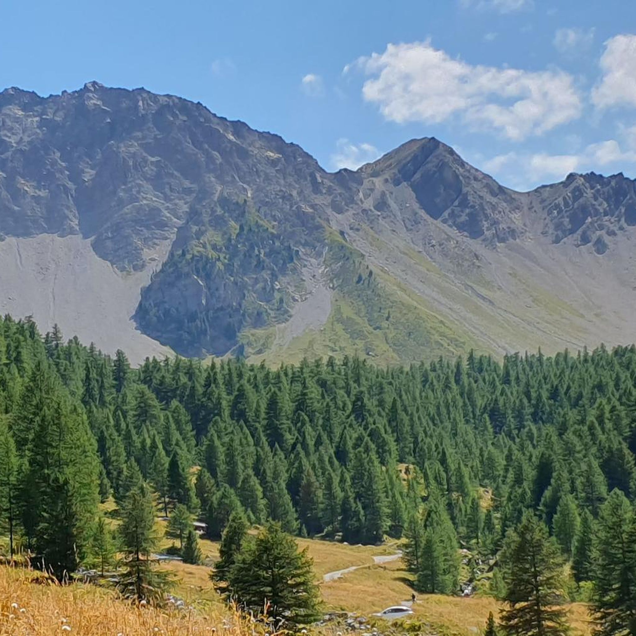
Road Cycling Routes in Réserve Biologique Dirigée Du Bois Des Ayes
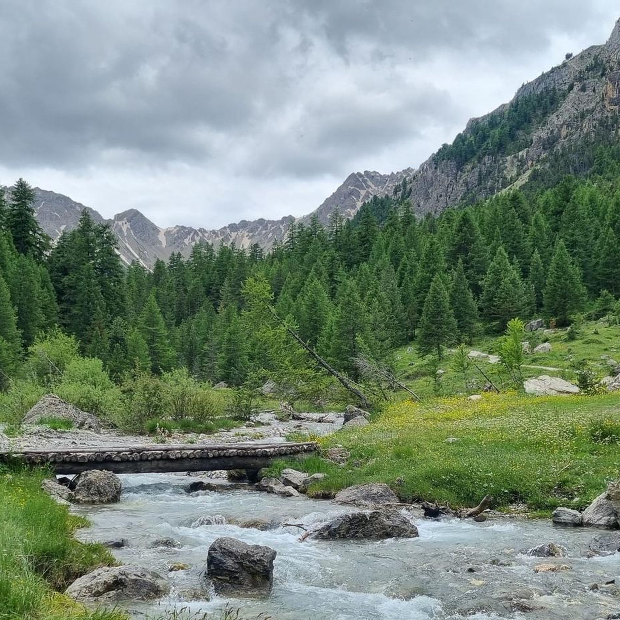
MTB Trails in Réserve Biologique Dirigée Du Bois Des Ayes
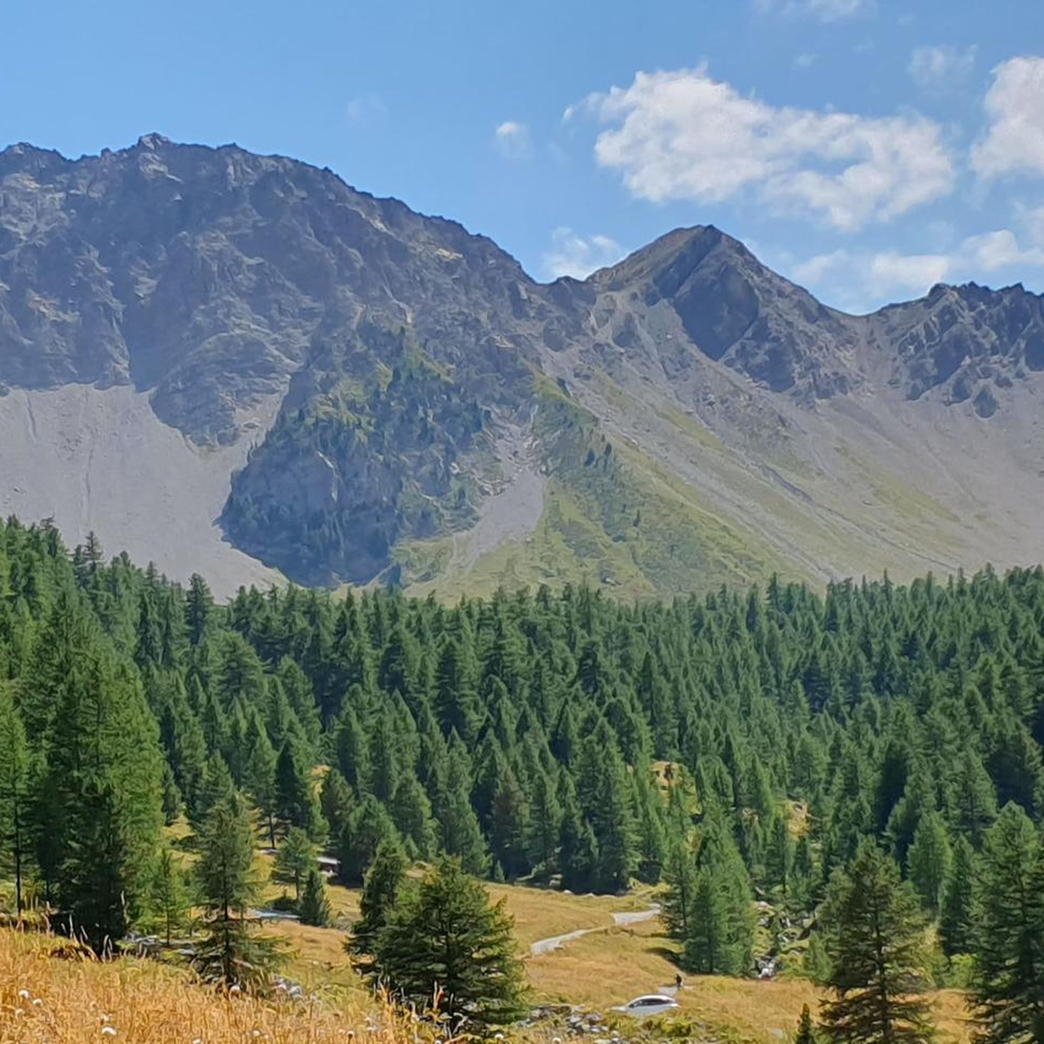
Running Trails in Réserve Biologique Dirigée Du Bois Des Ayes

Cycling in Réserve Biologique Dirigée Du Bois Des Ayes
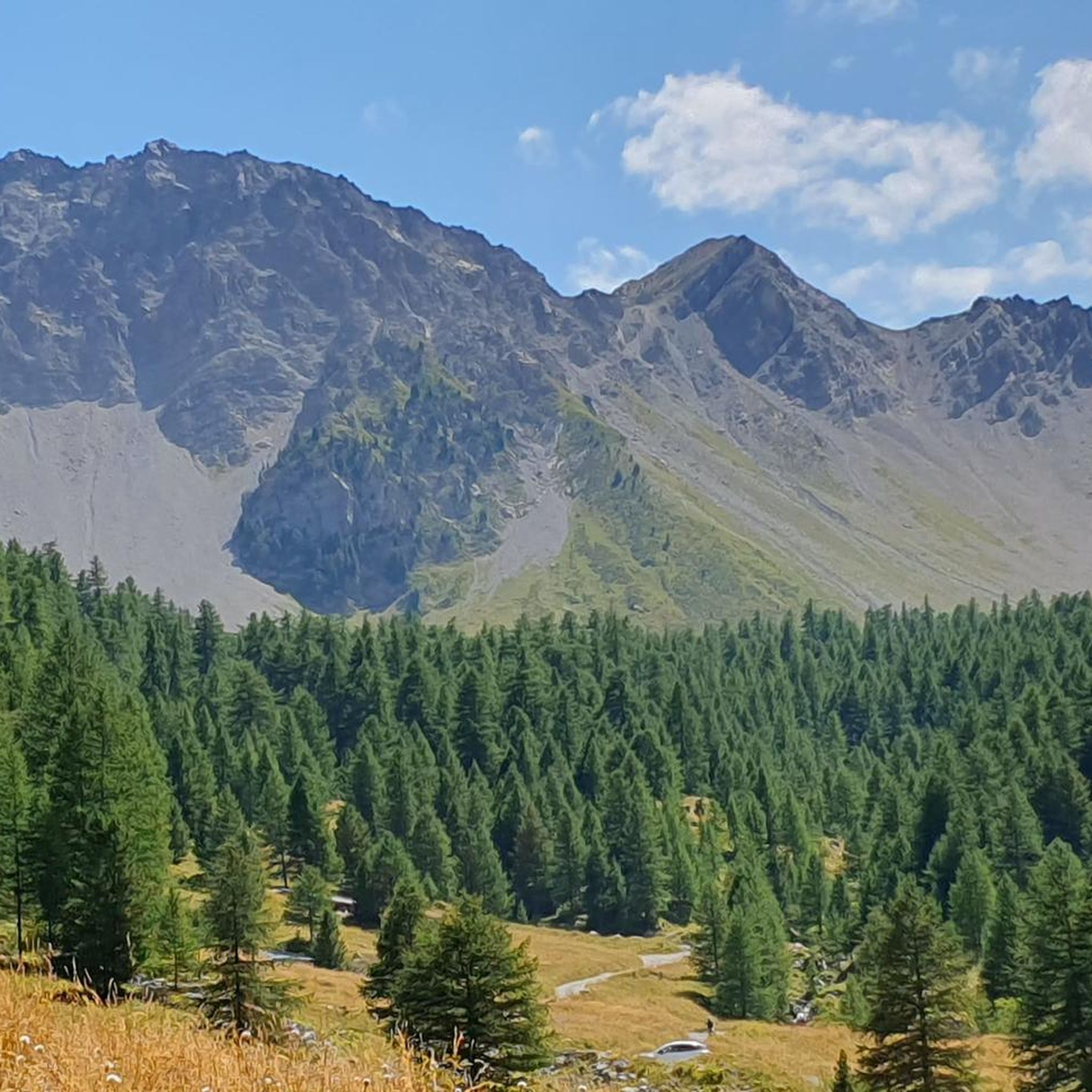
Hiking in Réserve Biologique Dirigée Du Bois Des Ayes

Gravel biking in Réserve Biologique Dirigée Du Bois Des Ayes
Tips from the Community

Beautiful high plateau before the final ascent of switchbacks
0
1

From the summit at 3,024 meters, you have a fantastic view of many high mountains and glaciers. It's a remote and pristine landscape that is truly impressive.
0
0

One of the most beautiful climbs in the French Alps.
16
0
Hotel with typical mountain features.
19
0

Beautiful view at the highest point!
0
0

Small but effective refreshment point along the road leading to Col d'Izoard.
1
0

The Col de l'Izoard is one of the most emblematic passes in France. Regularly used by the Tour de France, it offers two legendary and difficult climbs which lead to an altitude of 2,360 meters.
0
0

Frequently Asked Questions
How many mountaineering routes are available in Réserve Biologique Dirigée Du Bois Des Ayes?
There are over 10 mountaineering routes documented in Réserve Biologique Dirigée Du Bois Des Ayes on komoot, offering a range of experiences from moderate to difficult.
What kind of terrain can I expect on mountaineering routes in this reserve?
The terrain in Réserve Biologique Dirigée Du Bois Des Ayes is highly varied. You'll traverse ancient Swiss pine and larch forests, transition into alpine heathlands and meadows, and encounter scree slopes and rocky ridges at higher elevations. The geological features include sandstone, shale, and conglomerates, as well as Triassic limestones.
Are there any circular mountaineering routes in Réserve Biologique Dirigée Du Bois Des Ayes?
Yes, several routes are circular. For example, the difficult route Le Collet loop from Crête de Combe la Roche offers views from an elevated ridge, while the moderate Chalet de Clapeyto – Pra Premier loop from Arvieux, "Jamberoute - Espace Ludique" takes you through alpine pastures.
What are the most challenging mountaineering routes in the reserve?
Many routes are classified as difficult due to significant elevation gains. For instance, the Rochebrune Peak loop from Col d'Izoard involves over 1000 meters of ascent, and the Col de Chaude Maison loop from Cervières features over 1200 meters of elevation gain, requiring good physical condition and alpine experience.
Are there any notable natural features or landmarks to see along the routes?
Absolutely. The reserve is home to stunning natural features. You can discover the glacial-origin Lac de l'Orceyrette, known for its crystalline waters. The ancient forests contain Swiss pines over 600 years old, and higher up, you'll find diverse alpine heathlands and meadows. The reserve is also a Special Protection Area for Birds, offering opportunities for wildlife observation.
What is the best time of year for mountaineering in Réserve Biologique Dirigée Du Bois Des Ayes?
The best time for mountaineering typically aligns with late spring, summer, and early autumn when trails are generally free of snow and weather conditions are more stable. The reserve's significant altitudinal range means conditions can vary greatly, so always check local forecasts before heading out. Winter mountaineering is possible but requires specialized equipment and experience due to snow and ice.
Is Réserve Biologique Dirigée Du Bois Des Ayes suitable for families?
While many mountaineering routes involve substantial elevation and are classified as difficult, there are also moderate options. For a more interpretative experience, a pedagogical trail like the Sentier de la Taure guides visitors through the forest, which might be more suitable for families looking for a less strenuous activity. Always check the specific route details for distance and elevation to ensure it matches your family's ability.
Are there specific regulations or permits required for mountaineering in the reserve?
The Réserve Biologique Dirigée Du Bois Des Ayes is a protected area. While general hiking and mountaineering are permitted on marked trails, it's always advisable to be aware of specific regulations regarding wildlife protection, waste disposal, and potential restrictions during certain seasons (e.g., nesting periods). For detailed information on regulations, you can consult official sources such as the regional environmental department: developpement-durable.gouv.fr.
What kind of wildlife can I expect to see while mountaineering?
The reserve is a Special Protection Area for Birds (Z.P.S.), making it an excellent spot for birdwatching. You might encounter species like the Capercaillie, Tengmalm's Owl, Eurasian Pygmy Owl, and Black Woodpecker. The diverse alpine flora also includes rhododendrons and blueberries in the undergrowth of the pine forests.
What do other mountaineers enjoy most about the routes here?
The area is highly rated by the komoot community, with an average score of 4.75 stars. Reviewers often praise the diverse landscapes, from ancient forests to high alpine environments, and the challenging yet rewarding ascents that offer spectacular views of the Hautes-Alpes region.
Are there any routes that explore the high alpine environment around the Clapeyto chalets?
Yes, the difficult Chalet de Clapeyto – Clapeyto Alpine Chalets loop from Arvieux, "Jamberoute - Espace Ludique" is a longer route, spanning over 15 kilometers, that specifically explores the high alpine environment surrounding the Clapeyto chalets, offering a comprehensive experience of this unique area.
Most popular routes in Réserve Biologique Dirigée Du Bois Des Ayes

Get inspired with the komoot mobile app


Explore more
Browse the best Mountain Hikes & Routes in other regions.
