Réserve Biologique Dirigée Du Bois Des Ayes
Réserve Biologique Dirigée Du Bois Des Ayes
The best cycling routes in Réserve Biologique Dirigée Du Bois Des Ayes
4.6
(163)
8,407
riders
103
rides
Touring cycling in Réserve Biologique Dirigée Du Bois Des Ayes traverses a diverse alpine landscape in the Hautes-Alpes region of France. The area features ancient Swiss pine forests, subalpine and alpine zones, and elevations ranging from approximately 1,750 meters to 2,779 meters. A significant draw for cyclists is the car-free "ancienne route des Ayes," offering a dedicated path that transitions from asphalt to gravel as it ascends towards the glacial Lac de l'Orceyrette. This varied terrain provides routes suitable for touring bikes capable of handling both paved and well-maintained gravel surfaces.
Best touring cycling routes in Réserve Biologique Dirigée Du Bois Des Ayes
- The most popular touring cycling route is Col d'Izoard Loop from Briançon, a difficult 57.7 miles (92.8 km) trail that takes 6 hours 58 minutes to complete. This route offers extensive views of the surrounding alpine terrain and includes a significant elevation gain.
- Another top favourite among local touring cyclists is Col du Lautaret – Col du Galibier loop from Briançon, a difficult 75.2 miles (121.0 km) path. This path leads through high mountain passes and offers panoramic alpine vistas.
- Local touring cyclists also love the Briançon – Col du Granon loop from Briançon, a 22.0 miles (35.4 km) trail leading through challenging mountain ascents, often completed in about 3 hours 1 minute.
- Touring cycling in Réserve Biologique Dirigée Du Bois Des Ayes is defined by ancient stone pine forests, high alpine passes, and glacial lakes. The network offers options for different ability levels, from moderate to difficult routes.
- The routes in Réserve Biologique Dirigée Du Bois Des Ayes are highly rated by the komoot community with an average score of 4.7 stars from over 160 reviews. More than 8,900 touring cyclists have used komoot to explore Réserve Biologique Dirigée Du Bois Des Ayes's varied terrain.
Last updated: July 15, 2026
15
riders
20.4km
01:46
640m
640m
Hard bike ride. Very good fitness required. Mostly paved surfaces. Suitable for all skill levels.
10
riders
14.4km
01:51
670m
670m
Hard bike ride. Very good fitness required. Mostly paved surfaces. Suitable for all skill levels.

Sign up for free
132
riders
Hard bike ride. Very good fitness required. Mostly paved surfaces. Suitable for all skill levels.
4.0
(5)
111
riders
28.9km
02:02
360m
360m
Hard bike ride. Good fitness required. You may need to push your bike for some segments of this route.
5.0
(1)
26
riders
30.7km
02:53
1,010m
1,010m
Hard bike ride. Very good fitness required. You may need to push your bike for some segments of this route.
Get access to more routes and recommendations from other explorers.
Sign up for free
Already have an account?
Our route recommendations are based on thousands of hikes, rides, and runs completed by other people on komoot.
Start today with a free account
Your next adventure awaits.
Login or Signup
Popular around Réserve Biologique Dirigée Du Bois Des Ayes
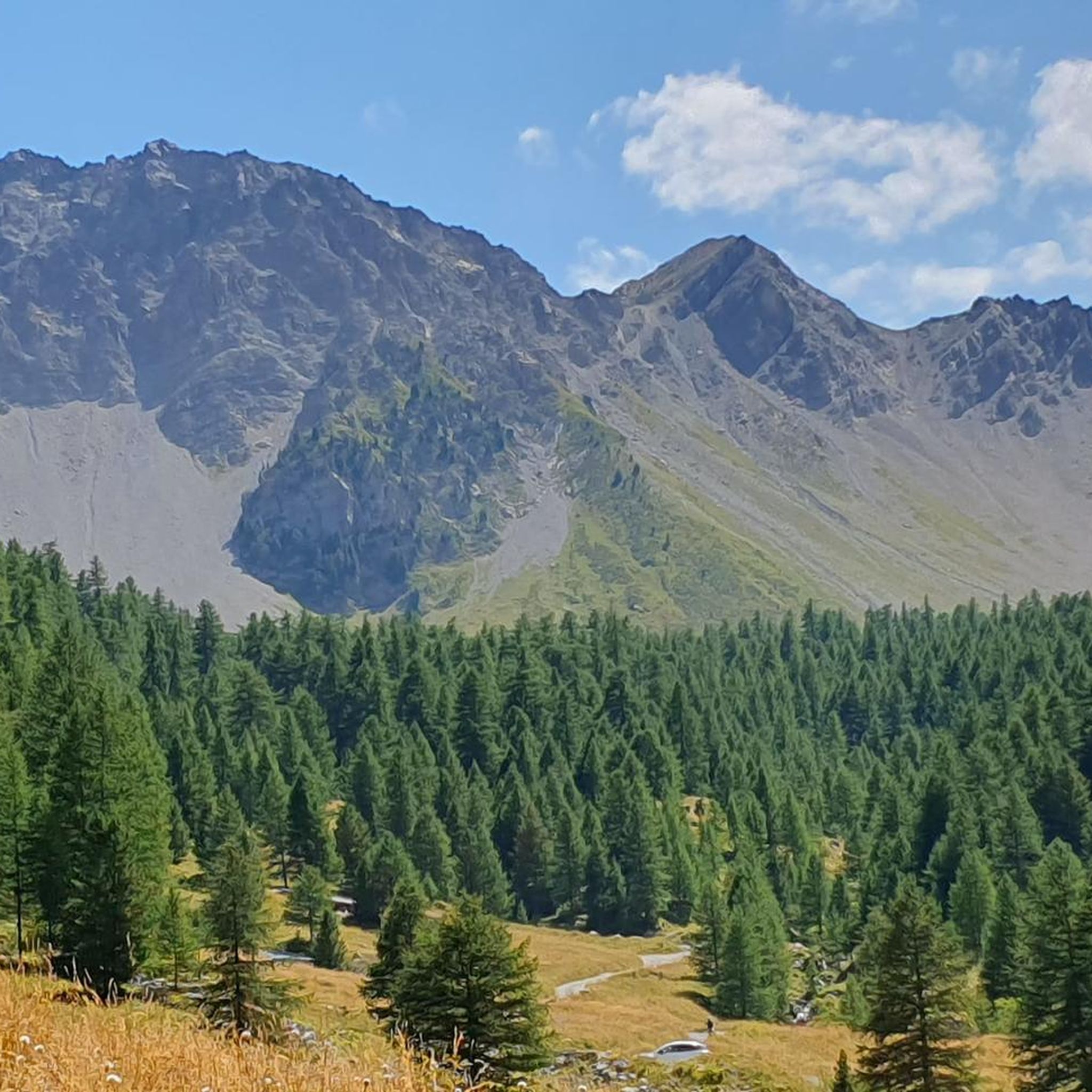
Road Cycling Routes in Réserve Biologique Dirigée Du Bois Des Ayes
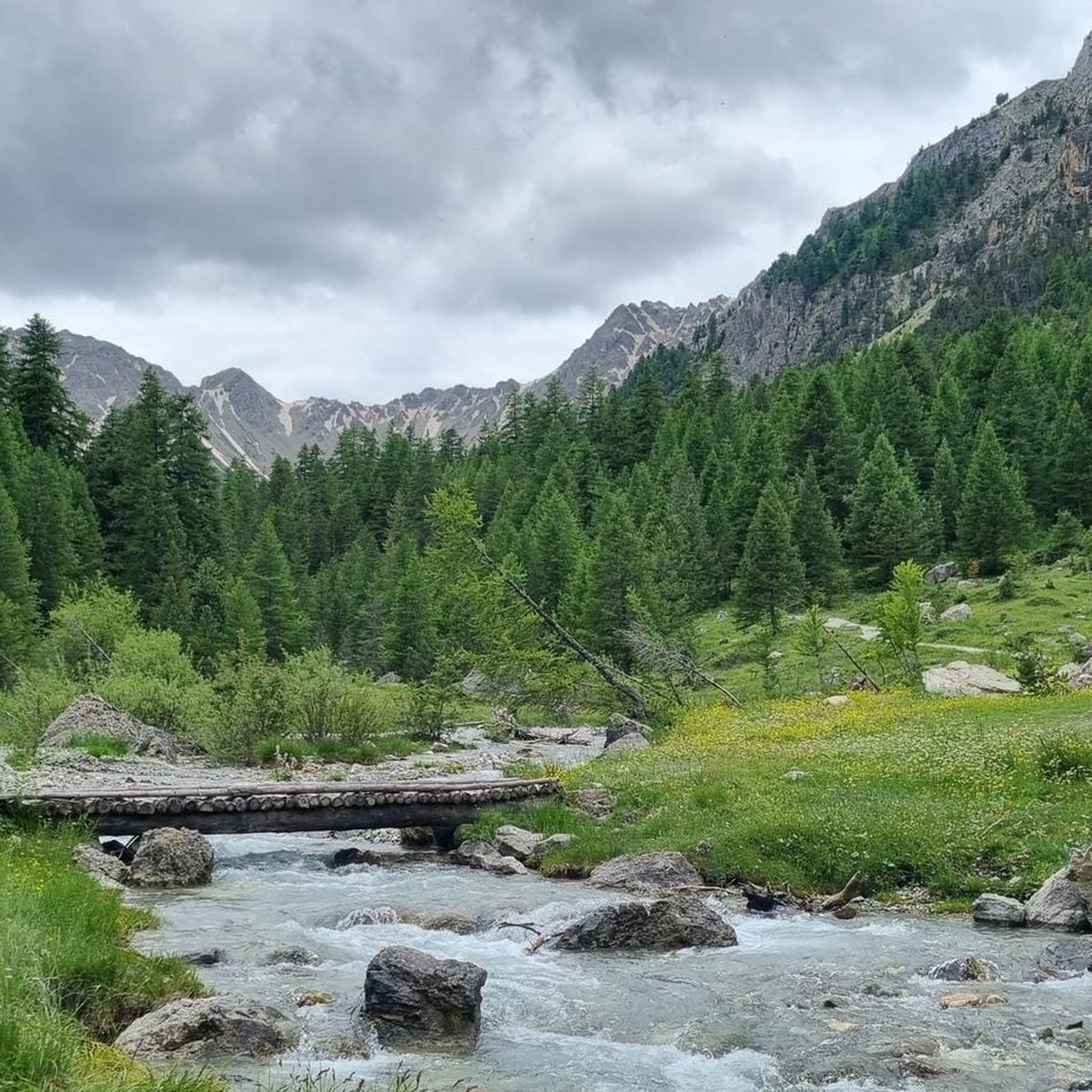
MTB Trails in Réserve Biologique Dirigée Du Bois Des Ayes
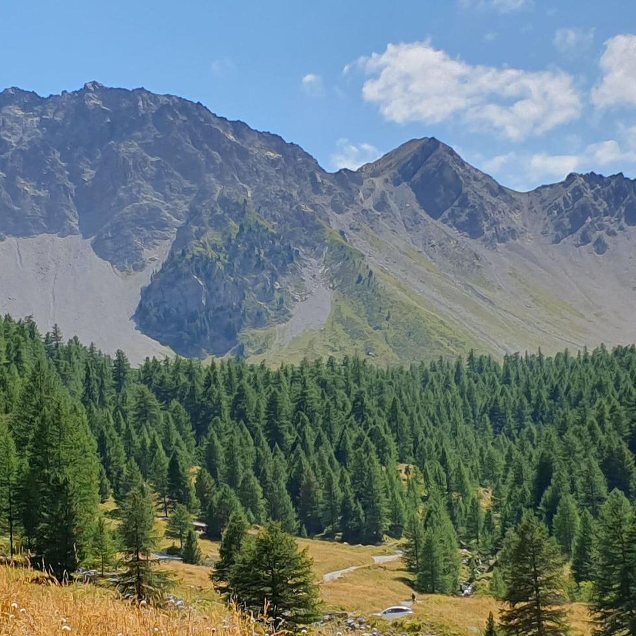
Running Trails in Réserve Biologique Dirigée Du Bois Des Ayes

Gravel biking in Réserve Biologique Dirigée Du Bois Des Ayes
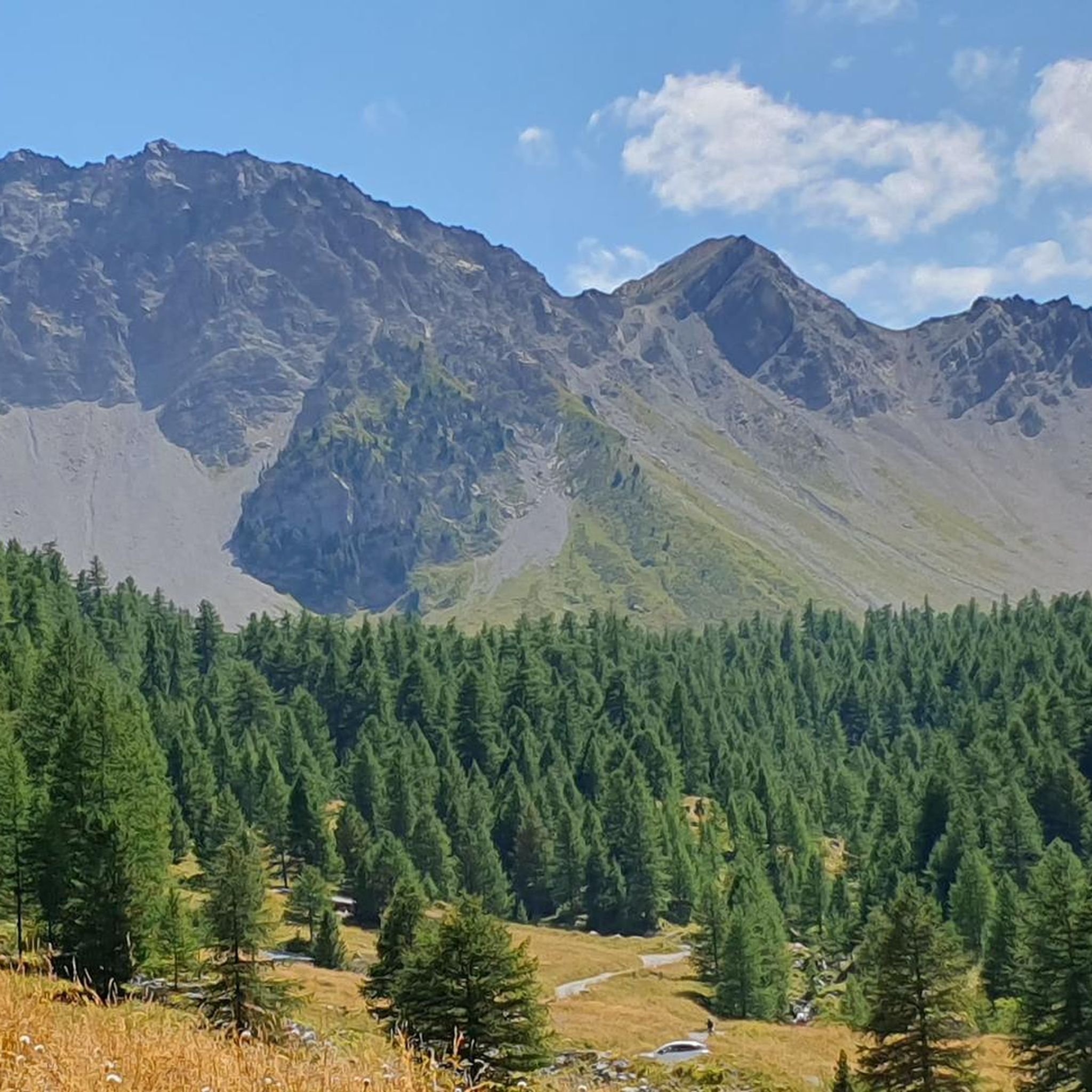
Hiking in Réserve Biologique Dirigée Du Bois Des Ayes

Mountain Hikes in Réserve Biologique Dirigée Du Bois Des Ayes
Tips from the Community

The Col d’Izoard is an Alpine pass located in the French Alps, in the Hautes-Alpes department, at an altitude of about 2,360 meters. It connects the Guisane valley (towards Briançon) to the Queyras valley (towards Château-Ville-Vieille).
10
0

From here you can enjoy a breathtaking view, both towards Italy and France. Unfortunately, I caught it during roadwork and resurfacing, but I'd be curious to see it once it's finished.
0
0

Perfect for admiring the view during a picnic
0
0

Colle dell'Agnello (2,744 meters above sea level - Col Agnel in French; Còl dl'Agnél in Piedmontese) is an Alpine pass in the Cottian Alps (Monviso Alps), as well as the second-highest road pass in Italy and the third-highest in Europe [N 2], preceded only by the Colle dell'Iseran [N 3] in the French Alps and the Stelvio Pass in the Ortler Alps. Located southwest of Monviso, between Pan di Zucchero and Punta dell'Alp, it connects Italy to France from the Piedmontese municipality of Pontechianale to the French municipality of Molines-en-Queyras in the Hautes-Alpes department [N 4]. It was inaugurated in 1973 by expanding a pre-existing dirt military road; It has been a transit point for several stages of the Giro d'Italia and the Tour de France and a popular destination for summer camps for amateur astronomers, offering one of the observation sites with the darkest, most pristine sky and accessible by normal vehicles.
0
0
Very pretty little village that you pass through on your way to the Izoard climb.
17
0
Just before the summit is this beautiful refuge.
16
0
Frequently Asked Questions
How many touring cycling routes are available in Réserve Biologique Dirigée Du Bois Des Ayes?
There are over 100 touring cycling routes in Réserve Biologique Dirigée Du Bois Des Ayes, offering a wide range of experiences. The komoot community has explored these routes over 9,000 times.
What kind of terrain can I expect on touring cycling routes in Réserve Biologique Dirigée Du Bois Des Ayes?
The reserve features diverse alpine landscapes, including ancient stone pine and larch forests, alpine meadows, rocky ridges, and significant gradients. Elevations range from approximately 1,750 meters to 2,779 meters, providing challenging ascents and scenic descents.
Are there any easy touring cycling routes suitable for beginners in the reserve?
While many routes in the reserve are classified as difficult, there are 8 routes considered easy. For those looking for a less strenuous ride, it's advisable to check the route details on komoot for specific elevation profiles and distances.
What are some notable natural landmarks or viewpoints along the cycling routes?
A major natural attraction is the stunning, crystal-clear glacial Lac de l'Orceyrette, known for its picturesque reflections. The ancient stone pine forests (cembraie) with trees 400 to 600 years old also offer unique scenery. Routes often provide panoramic views of the surrounding intra-Alpine massifs.
What is the best time of year for touring cycling in Réserve Biologique Dirigée Du Bois Des Ayes?
The region is best enjoyed for touring cycling during the warmer months, typically from late spring to early autumn. This period offers more favorable weather conditions and ensures that high mountain passes, like those featured in routes such as Col du Lautaret – Col du Galibier loop from Briançon, are clear of snow.
Are there any family-friendly cycling options in the Réserve Biologique Dirigée Du Bois Des Ayes?
While many routes involve significant gradients and are rated difficult, some of the easier routes might be suitable for families with older children or those accustomed to cycling in varied terrain. It's recommended to review the specific route details, including distance and elevation, to determine suitability for your family.
What do other touring cyclists enjoy most about cycling in Réserve Biologique Dirigée Du Bois Des Ayes?
The area is highly rated by the komoot community, with an average score of 4.7 stars from over 170 reviews. Cyclists often praise the diverse alpine landscape, the challenge of high mountain passes, and the beauty of the ancient stone pine forests and glacial lakes.
Are there any circular touring cycling routes available?
Yes, several routes are designed as loops, allowing you to start and end at the same point. Examples include the Col d'Izoard Loop from Briançon and the Briançon – Col du Granon loop from Briançon, which offer extensive views and challenging climbs.
Where can I find parking for accessing the cycling routes?
Parking is generally available in and around the commune of Villar-Saint-Pancrace, which serves as a gateway to the reserve. For specific routes, it's advisable to check the starting point details on komoot for recommended parking locations.
Are there any specific regulations or permits required for cycling in the Réserve Biologique Dirigée Du Bois Des Ayes?
As a managed biological reserve and Natura 2000 site, the area is protected. While general cycling on designated trails is permitted, it's always good practice to respect environmental regulations, stay on marked paths, and avoid disturbing wildlife. For detailed regulations, you can consult official sources like the regional environmental department: ZPS FR9312021 Bois des Ayes.
Can I bring my dog on the touring cycling trails?
As a protected biological reserve, specific rules regarding dogs may apply to ensure wildlife protection. It is generally recommended to keep dogs on a leash and ensure they do not disturb the natural environment. Always check local signage or official reserve guidelines for the most current pet policies.
Are there places to eat or stay near the cycling routes?
The nearby commune of Villar-Saint-Pancrace and the broader Briançon area offer various amenities, including cafes, restaurants, and accommodation options. You may also find specific facilities like the Chalets des Ayes providing services for visitors.
Most popular routes in Réserve Biologique Dirigée Du Bois Des Ayes

Get inspired with the komoot mobile app


Explore more
Browse the best Cycling routes in other regions.
