Trinkwasserschutzgebiet Lechauwald
Trinkwasserschutzgebiet Lechauwald
The best walks and hikes in Trinkwasserschutzgebiet Lechauwald
4.5
(3385)
17,834
hikers
17
hikes
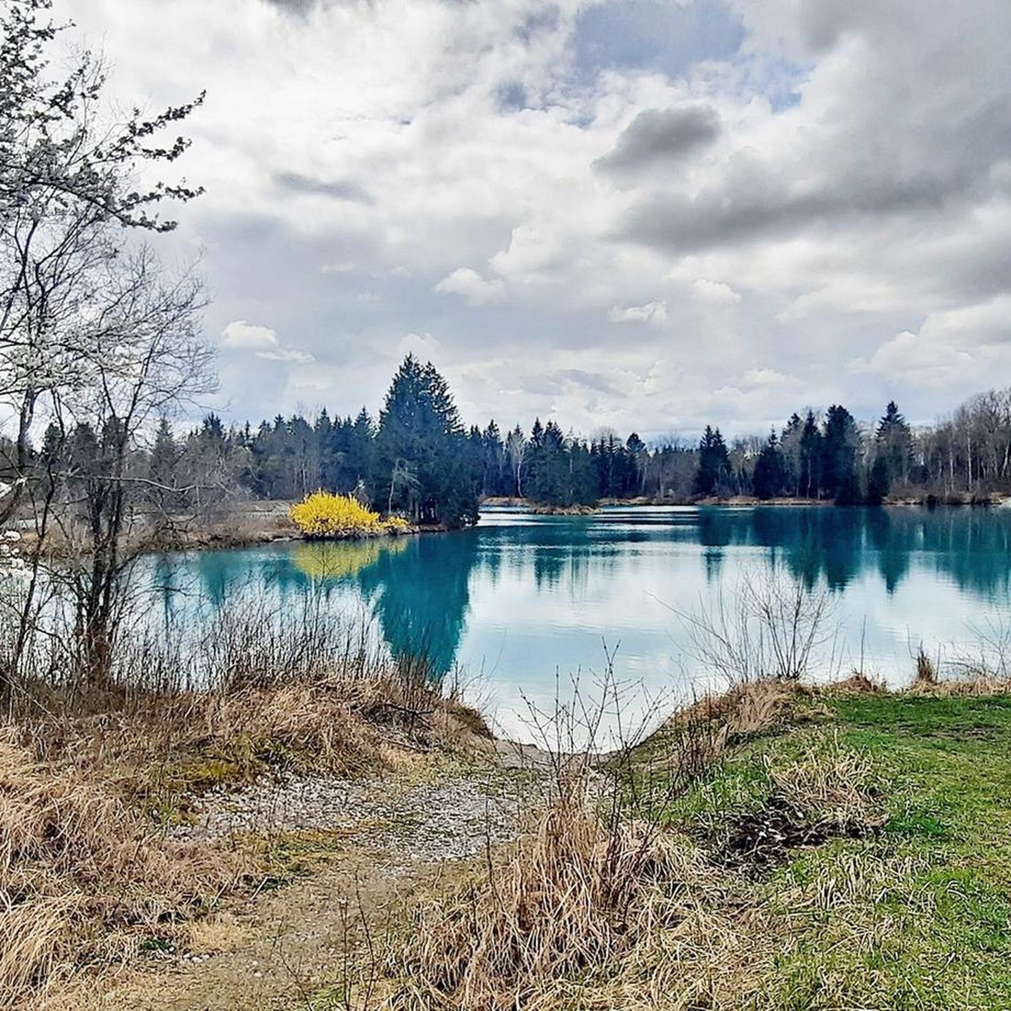
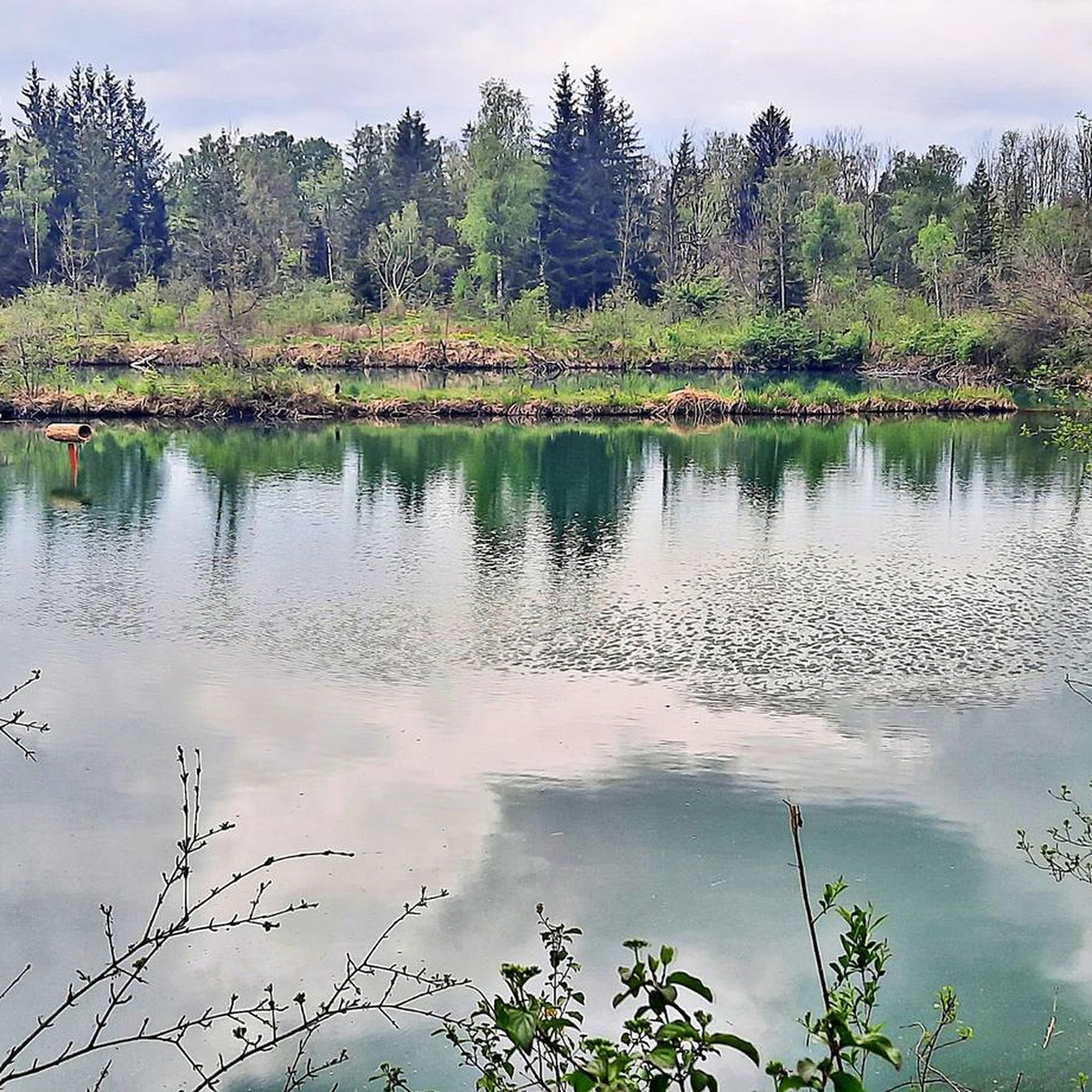
Hiking in Trinkwasserschutzgebiet Lechauwald offers diverse natural features, with trails winding through mixed woodlands and riparian forests along the Lech River. The region is characterized by its flat terrain, with minimal elevation changes, making it accessible for various fitness levels. Key natural landmarks include the Lech River, Mandichosee (Lake Mandicho), and numerous small streams, providing a tranquil environment for outdoor activities.
Best hiking trails in Trinkwasserschutzgebiet Lechauwald
- The most popular hiking route is Lech Riverside Nature Trail – Lech Dam…
Last updated: July 10, 2026
4.5
(45)
161
hikers
Moderate hike. Good fitness required. Easily-accessible paths. Suitable for all skill levels.
4.6
(8)
30
hikers
Easy hike. Great for any fitness level. Easily-accessible paths. Suitable for all skill levels.

Sign up for free
4.8
(5)
58
hikers
7.44km
01:53
10m
10m
Easy hike. Great for any fitness level. Easily-accessible paths. Suitable for all skill levels.
4.7
(9)
34
hikers
Easy hike. Great for any fitness level. Easily-accessible paths. Suitable for all skill levels.
5.0
(2)
36
hikers
Easy hike. Great for any fitness level. Easily-accessible paths. Suitable for all skill levels.
Get access to more routes and recommendations from other explorers.
Sign up for free
Already have an account?
Our route recommendations are based on thousands of hikes, rides, and runs completed by other people on komoot.
Start today with a free account
Your next adventure awaits.
Login or Signup
Popular around Trinkwasserschutzgebiet Lechauwald

Tips from the Community

It's a great place for hiking.
0
0

Enduro smooths everything out.
0
0

The path is really just a path and can be a bit slippery in places when wet and is interspersed with roots; good footwear is recommended.
0
0
A lovely path, though not entirely level and with roots in places. It could be a bit difficult with a stroller in some sections.
1
0
The swans seem to be enjoying themselves here.
0
0
Beautiful nature reserve surrounding the lake
0
0
Beautiful view over the lake and plenty of benches available.
1
0
The beavers seem to feel very comfortable here and are quite active, judging by the trees.
0
0
Frequently Asked Questions
How many hiking trails are available in Trinkwasserschutzgebiet Lechauwald?
The Trinkwasserschutzgebiet Lechauwald offers a wide selection of hiking opportunities, with over 15 trails to explore. These range from easy strolls to more moderate routes, ensuring options for various fitness levels.
What is the general terrain and difficulty of hiking trails in this area?
The region is characterized by its flat terrain with minimal elevation changes, making most trails easily accessible. You'll find paths winding through mixed woodlands and riparian forests along the Lech River. While generally well-maintained, some sections, especially after rain, might be uneven with roots, so sturdy footwear is recommended. There are 12 easy routes and 5 moderate routes available.
What natural features or landmarks can I expect to see along the trails?
The area is rich in natural beauty. You can expect to see the meandering Lech River, the expansive Mandichosee (Lake Mandicho), and numerous small streams like the Lochbach, which has undergone partial renaturalization. Notable structures like the Lechstaustufe 22 (Lech Weir 22) also serve as landmarks and starting points for many routes.
Are there family-friendly hiking options in Trinkwasserschutzgebiet Lechauwald?
Yes, the flat terrain and well-maintained paths make many routes suitable for families. An excellent option is the Mandicho Lake – Lake Mandicho loop from Beruhigte Zone, an easy 4.6-mile (7.4 km) path that circles the lake, offering scenic views and a pleasant experience for all ages.
Can I bring my dog on the trails?
Generally, dogs are welcome on the hiking trails in Trinkwasserschutzgebiet Lechauwald. However, as large sections are protected nature reserves, it's important to keep dogs on a leash to protect local wildlife and ensure a pleasant experience for all visitors. Always clean up after your pet.
Are there any circular hiking routes available?
Many of the trails in the region are designed as circular routes, allowing you to start and end at the same point. For example, the Lech Weir 22, Unterbergen – Path along the Lech to Mandichosee loop from Lechauwald bei Unterbergen is a popular 4.6-mile (7.4 km) loop that takes you through riparian forests and along the Lech River.
What do other hikers enjoy most about hiking in Trinkwasserschutzgebiet Lechauwald?
The area is highly rated by the komoot community, with an average score of 4.8 stars from over 340 reviews. Hikers often praise the tranquil environment, the scenic views along the Lech River and Mandichosee, and the diverse natural features. The well-maintained paths and accessibility for various fitness levels are also frequently highlighted.
Are there any longer hiking routes for more experienced hikers?
While the region is generally flat, there are longer routes for those seeking a more extended experience. The Lech Dam 22 – Unterbergen – Prittriching Reservoir loop from Lechauwald bei Unterbergen is a moderate 10.5-mile (16.9 km) trail that offers a longer journey through the diverse landscape.
Where can I park when visiting the hiking trails?
Parking is generally available at common starting points for trails, such as near the Lechstaustufe 22 (Lech Weir 22) or around Mandichosee. Specific parking information can often be found on individual route descriptions or local signage.
Is it possible to reach the hiking areas by public transport?
While specific public transport connections vary, the region around Unterbergen and near Augsburg is generally accessible. It's advisable to check local bus schedules or regional train connections to nearby towns, which may offer links to the trailheads or within walking distance of the protected area.
What is the best time of year to go hiking in Trinkwasserschutzgebiet Lechauwald?
The Trinkwasserschutzgebiet Lechauwald is beautiful year-round. Spring brings lush greenery and blooming flora, while autumn offers vibrant colors. Summer is ideal for enjoying the lakesides, and even winter can be charming for a crisp walk, though some paths might be uneven if wet or icy. The well-maintained paths make it enjoyable in most seasons.
Are there any specific nature trails or educational paths?
Yes, the region features educational paths that highlight its unique ecology. For instance, a nature trail, "Naturlehrpfad rund um den Lochbach," focuses on the renaturalized sections of the Lochbach, offering insights into the local environment and its conservation efforts.
Most popular routes in Trinkwasserschutzgebiet Lechauwald
Most popular attractions in Trinkwasserschutzgebiet Lechauwald

Get inspired with the komoot mobile app


Explore more
Browse the best Hikes in other regions.
