The best mountain hikes in Weidach- Und Zettachwald
4
hikers
3
hikes
Mountaineering in Weidach- Und Zettachwald offers a network of trails through diverse natural landscapes near Stuttgart. The region is characterized by bright deciduous forests, the scenic Körschtal valley with the Körsch stream, and extensive orchard areas. While not featuring high alpine terrain, the routes provide varied elevation gains and natural features suitable for outdoor pursuits. The area is a designated nature reserve, highlighting its ecological significance.
Best mountaineering routes in Weidach- Und Zettachwald
- The most popular mountaineering route is Sinneswandel…
Last updated: July 15, 2026
1
hikers
Easy mountaineering route. Great for any fitness level. Easily-accessible paths. Suitable for all skill levels.
2
hikers
8.25km
02:16
130m
130m
Moderate mountaineering route. Good fitness required. Easily-accessible paths. Suitable for all skill levels.

Sign up for free
1
hikers
Moderate mountaineering route. Good fitness required. Easily-accessible paths. Suitable for all skill levels.
Our route recommendations are based on thousands of hikes, rides, and runs completed by other people on komoot.
Start today with a free account
Your next adventure awaits.
Login or Signup
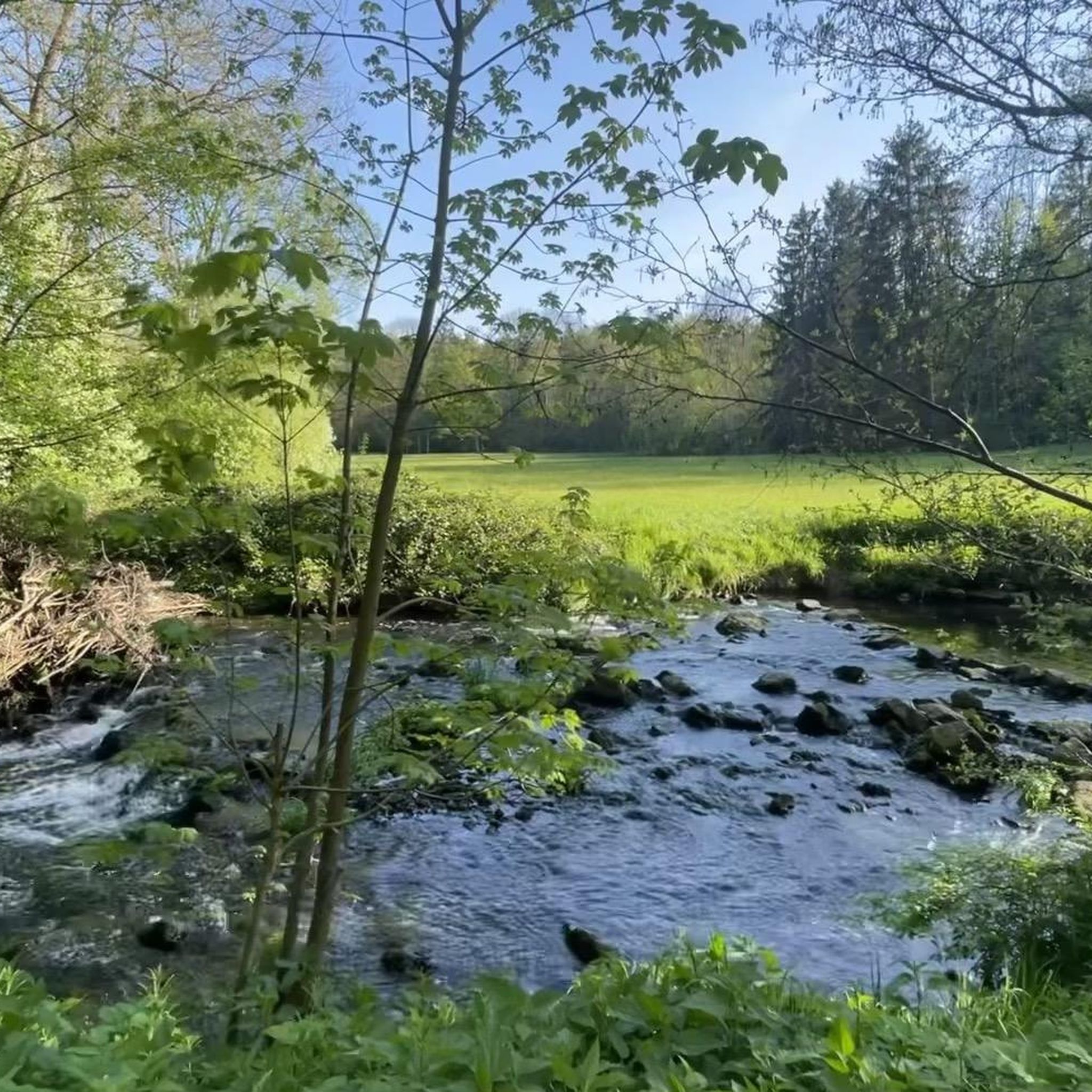
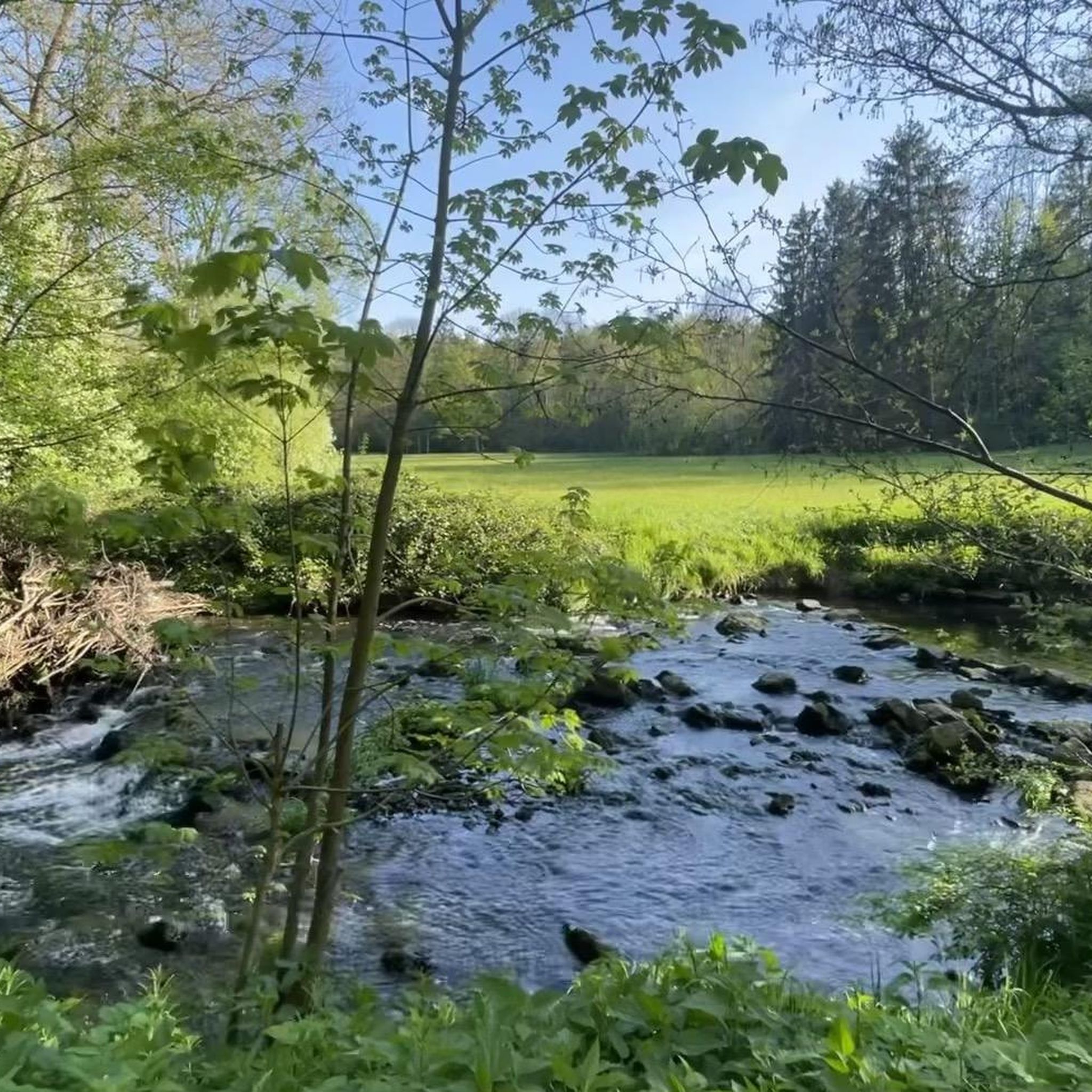
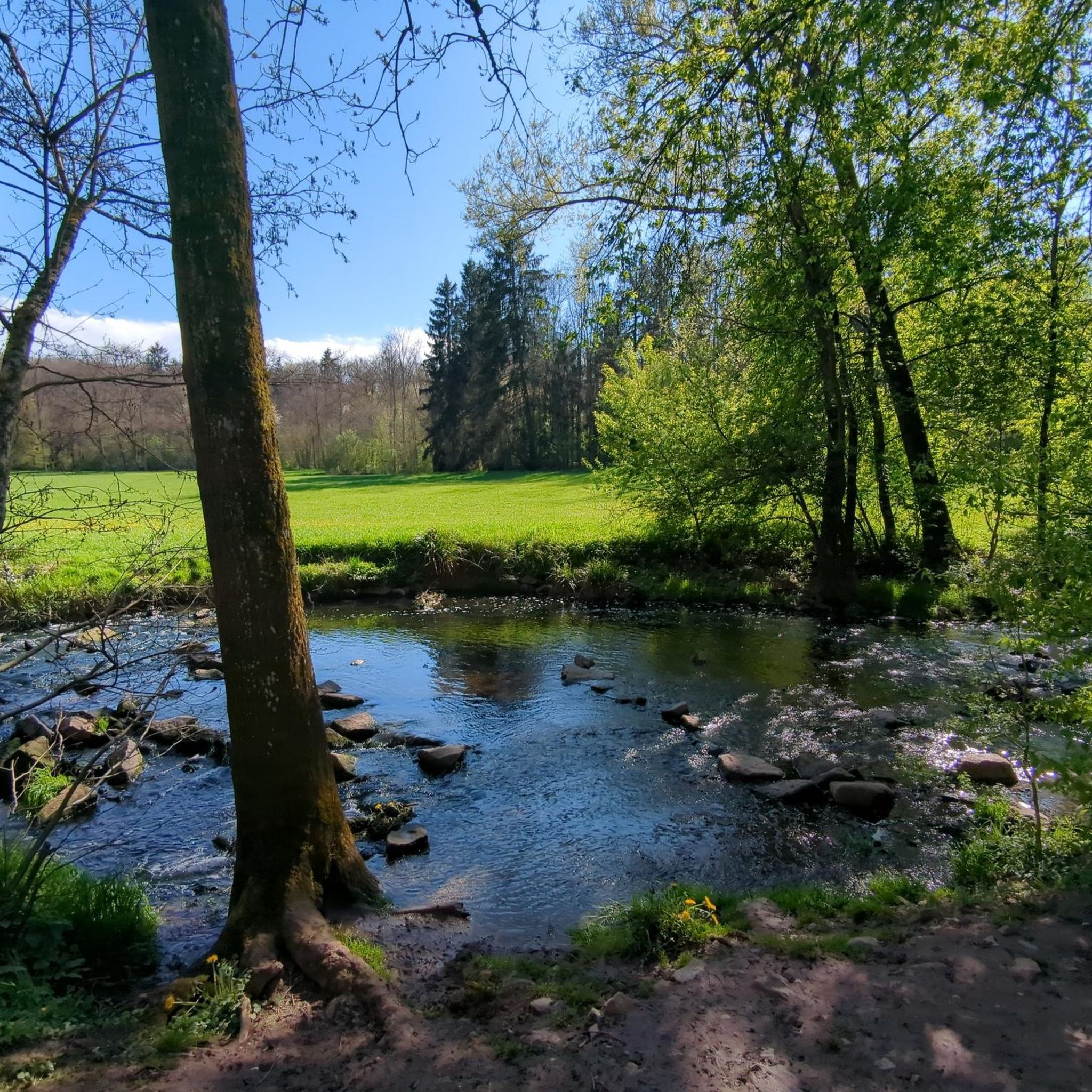
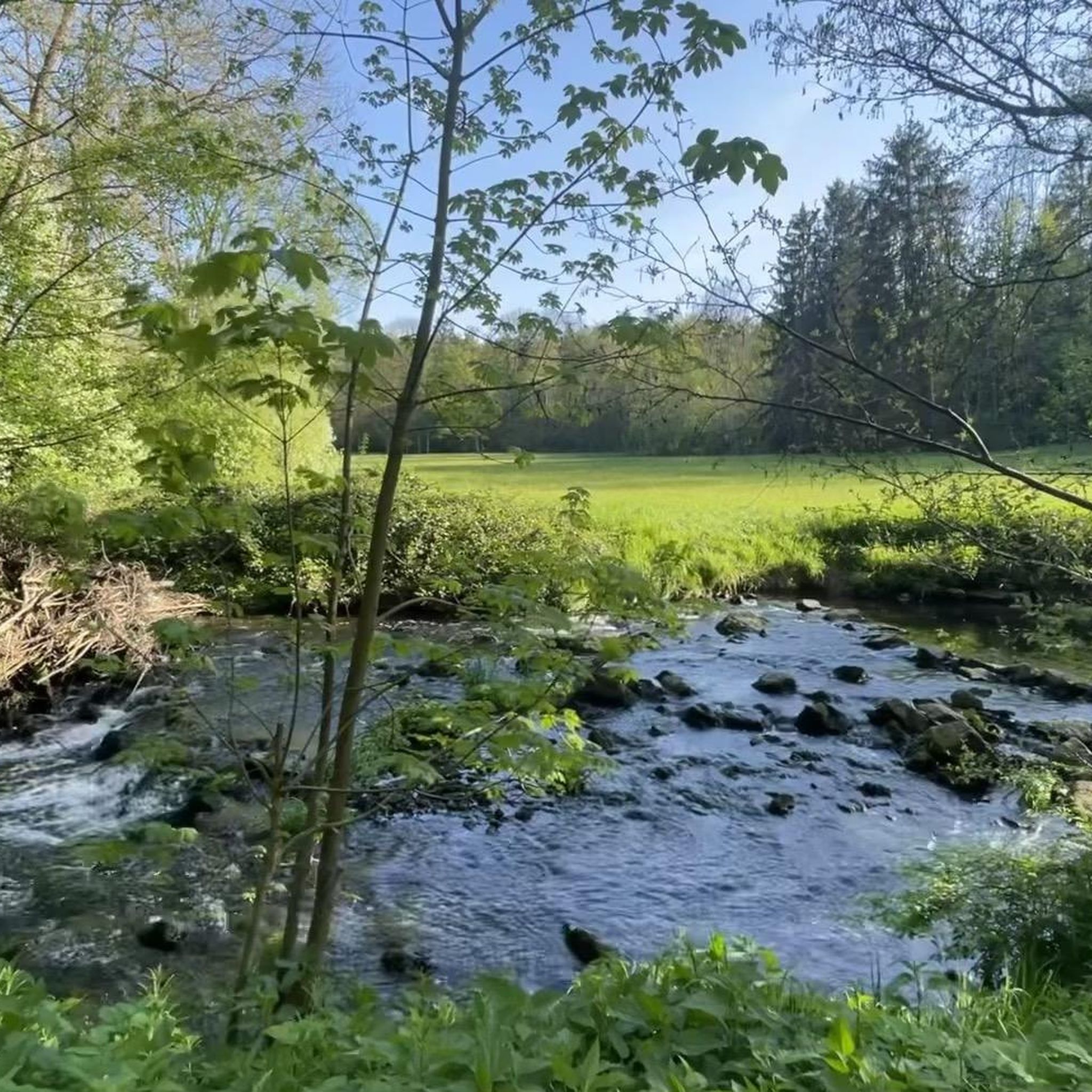
Tips from the Community

Unfortunately, there is no water coming out this year.
0
0

No more goat enclosure on April 11, 2026
0
0
No more goat enclosures, or not there on April 11, 2026
0
0

In its upper section, Wiederholdstraße forms a serpentine footpath that repeatedly offers beautiful views of the city in the valley below. The best view, of course, is from the very top, at Schottstraße.
1
0

The waiting shelter dates back to 1925 and was used by the SSB.
0
0

Kochenmühle means roast beef mill. Widely known. 250g or 350g. Friday and Saturday only. Summer opening hours: Fri. 3:00 PM - 8:00 PM Sat., Sun., and public holidays 11:00 AM - 8:00 PM No card payments No table reservations (beer garden) possible. No draft beer, but a large selection of bottled beers. Dogs are not allowed in the Mühlenstube.
6
0
Flour was produced here until 1925. The old millstones are still there. The mill wheel continued to generate electricity until the war year of 1945, when the mill building and the mill wheel were severely damaged.
11
0
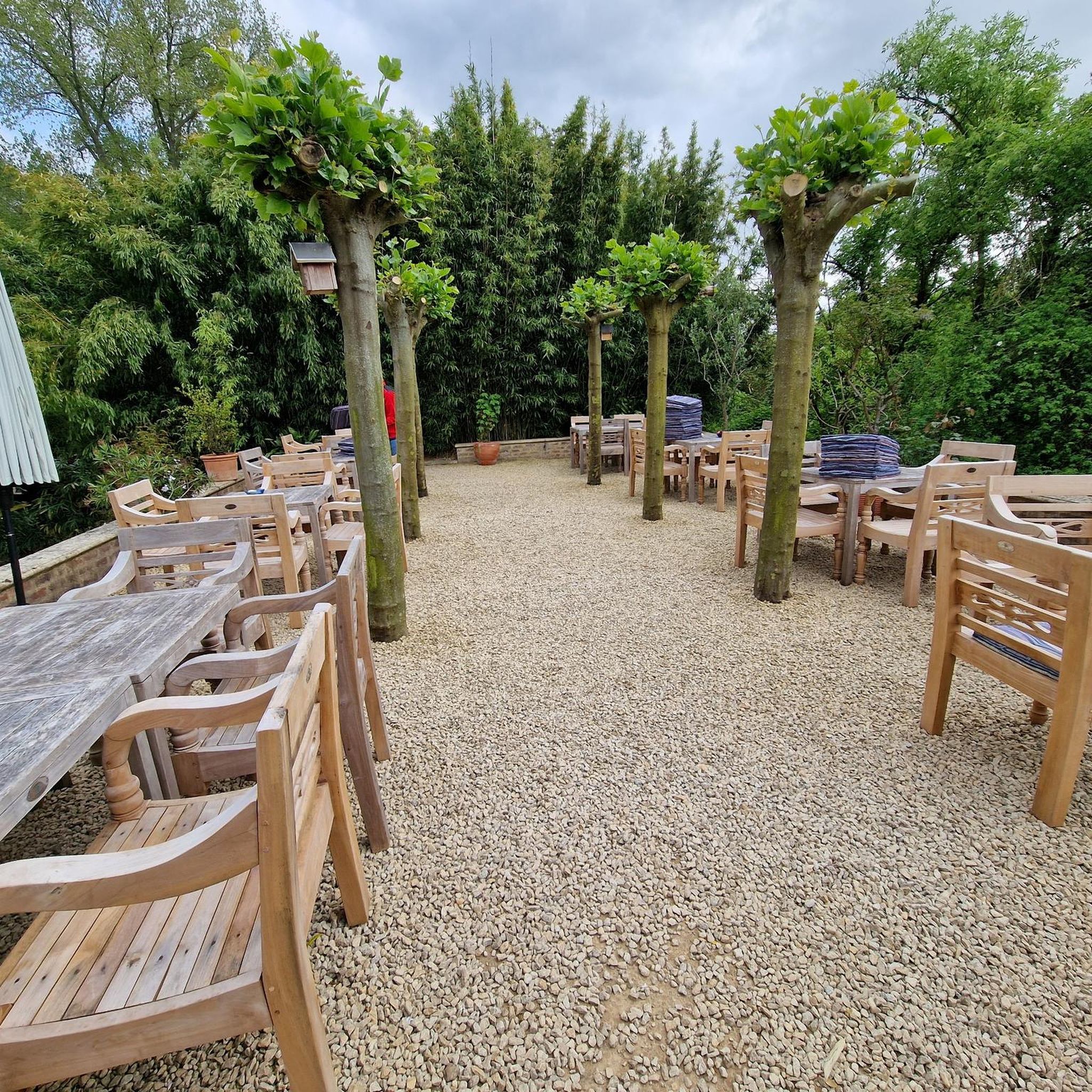
One of the few mills accessible by car via the "Alte Poststrasse" (Old Post Road). Parking is available. The mill boasts a lovely self-service beer garden.
10
0
Frequently Asked Questions
Are there routes suitable for beginners or those looking for an easier mountaineering experience?
Yes, Weidach- und Zettachwald offers routes for various fitness levels. For an easy and tranquil experience, consider the Sinneswandel Boardwalk – House of the forest & change of heart loop from Waldau, which is 3.8 miles (6.2 km) long and navigates through forested areas.
What kind of elevation gain can I expect on mountaineering routes in Weidach- und Zettachwald?
While Weidach- und Zettachwald doesn't feature high alpine terrain, routes can still offer varied elevation gains. For example, the Viewpoint – Cycling — Bike Café Stuttgart loop from Berliner Platz (Liederhalle) includes an ascent of approximately 156 meters, providing a moderate challenge.
Are the mountaineering routes in Weidach- und Zettachwald suitable for families?
Many trails in Weidach- und Zettachwald are suitable for families, offering leisurely walks through picturesque forests and meadows. The diverse network includes wide gravel paths that are generally easy to navigate, making them ideal for family outings.
Can I bring my dog on the mountaineering trails?
Weidach- und Zettachwald is a nature reserve, and generally, dogs are welcome on trails, often on a leash. It's always a good idea to check local signage for specific restrictions, especially in protected areas or near sensitive wildlife habitats.
Are there circular mountaineering routes available?
Yes, several routes in the region are circular, allowing you to start and end at the same point. An example is the Kochen Mill – Bärensee (Filderstadt) loop from Stetten, a moderate 5.1 miles (8.2 km) path exploring the local landscape.
Where can I park when visiting Weidach- und Zettachwald for mountaineering?
Specific parking information varies by trailhead. Many routes, especially those starting from urban edges or smaller villages like Waldau or Stetten, will have designated parking areas nearby. It's advisable to check the starting point of your chosen route for the most convenient parking options.
What natural sights or landmarks can I discover along the routes?
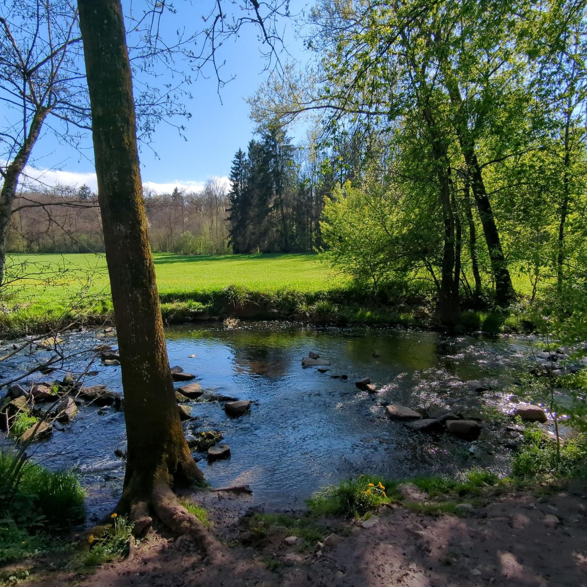
The region is rich in natural beauty. You can explore the scenic Körschtal valley, characterized by bright deciduous forests and the Körsch stream. Look out for the Körsch River in Weidach and Zettach Forest, the Giant Sequoia in Körschtal, and the Heidbrünnele Fountain.
What kind of wildlife might I encounter in Weidach- und Zettachwald?
As a designated nature reserve, Weidach- und Zettachwald is home to diverse wildlife. The Körschtal valley is known for uncommon species such as the water shrew and the greater noctule bat. The extensive orchard areas also provide habitats for various birds and bats.
When is the best time of year to go mountaineering in Weidach- und Zettachwald?
The bright deciduous forests and diverse flora make spring and autumn particularly appealing. In spring, you might see protected flora like the rare blue star (Blaustern) and various orchid species. Autumn offers vibrant foliage. Summer provides lush greenery, while winter can offer peaceful, snow-dusted landscapes, though some paths might be slippery.
Are there places to eat or drink near the trails?
While the immediate trails are within a nature reserve, the proximity to Stuttgart and surrounding towns means there are cafes and restaurants in nearby communities. Routes like the Viewpoint – Cycling — Bike Café Stuttgart loop from Berliner Platz (Liederhalle) connect to more urban starting points where amenities are readily available.
What do other mountaineers enjoy the most about mountaineering in Weidach- und Zettachwald?
Mountaineers appreciate the diverse natural landscapes, from picturesque forests to the scenic Körschtal valley. The well-maintained trails offer a range of experiences, from leisurely walks to more demanding hikes, all within a protected and ecologically significant area near Stuttgart.
Most popular routes in Weidach- Und Zettachwald
Most popular attractions in Weidach- Und Zettachwald

Get inspired with the komoot mobile app


Explore more
Browse the best Mountain Hikes & Routes in other regions.
