The best walks and hikes in Eyach-Und Rotenbachtal
4.6
(27877)
105,694
hikers
34
hikes
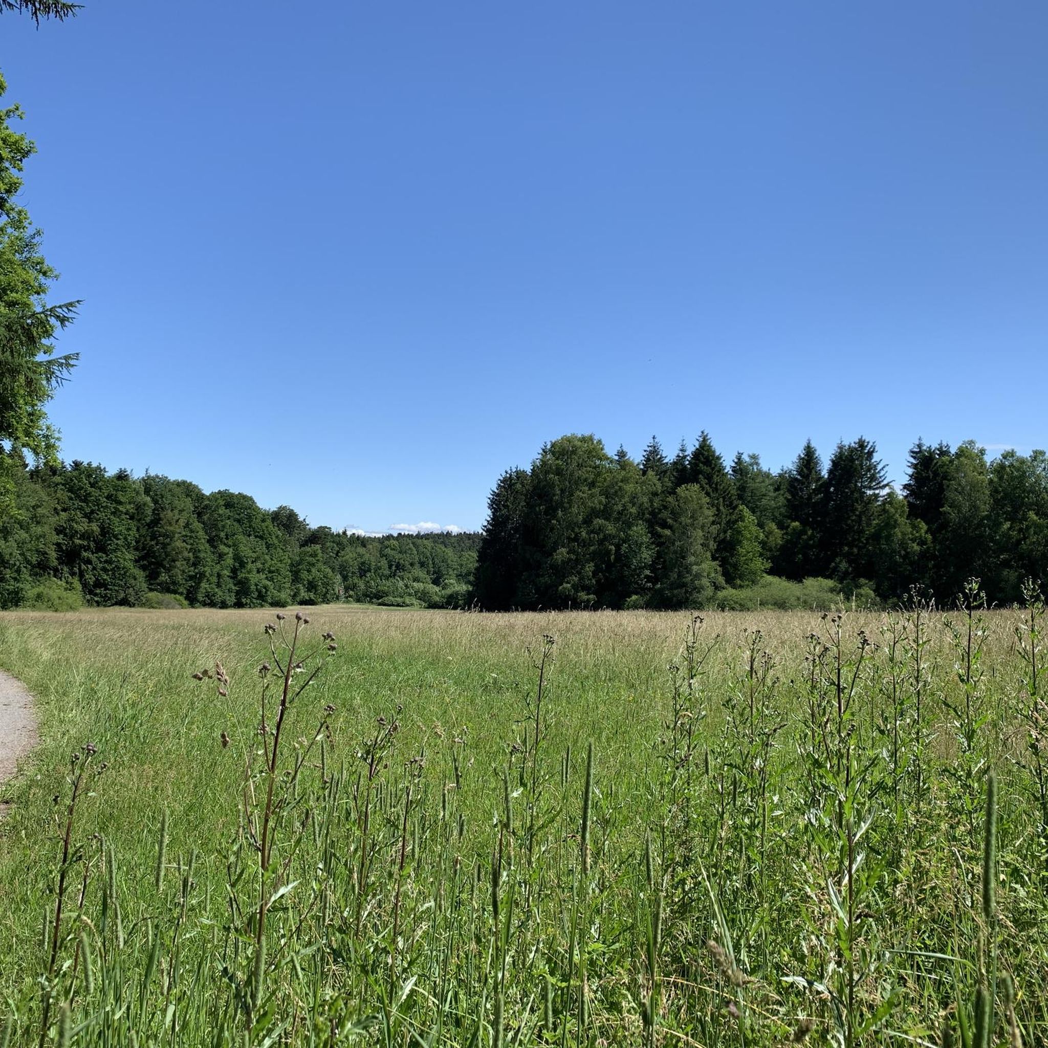
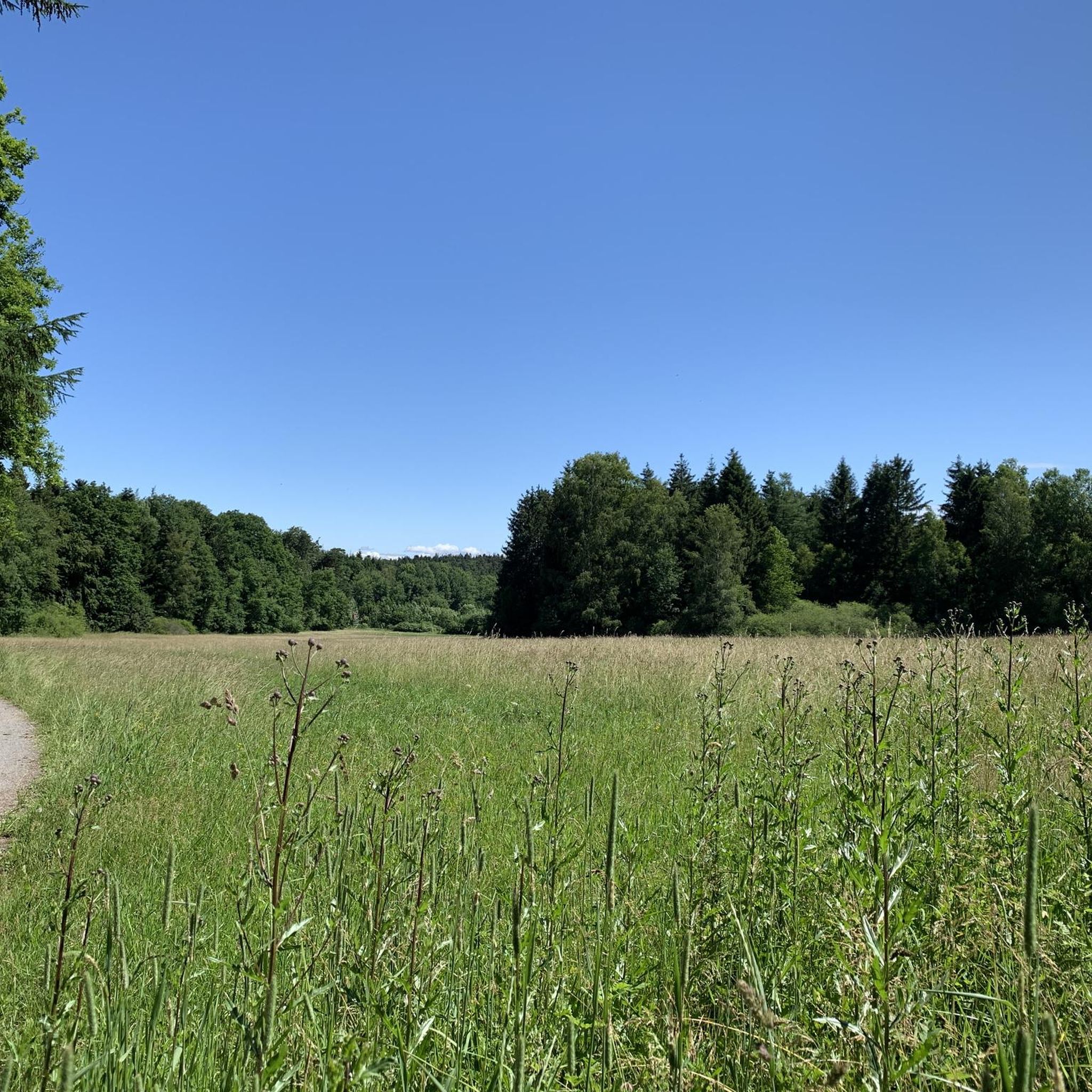
Hiking trails in Eyach-Und Rotenbachtal are characterized by wild river valleys and pristine forests within the northern Black Forest. The region features the Eyach and Rotenbach rivers, which carve through the landscape, creating picturesque valleys with natural floodplain forests. Its headwaters originate in the high moor of Kaltenbronn, a unique peat landscape. Geological formations, including rock boulders and block fields, indicate its glacial past.
Best hiking trails in Eyach-Und Rotenbachtal
- The most popular hiking route is Rest area by the…
Last updated: July 5, 2026
4.8
(361)
1,381
hikers
8.15km
02:12
110m
110m
Moderate hike. Good fitness required. Easily-accessible paths. Suitable for all skill levels.
4.7
(33)
131
hikers
22.8km
06:35
480m
480m
Hard hike. Very good fitness required. Mostly accessible paths. Sure-footedness required.

Sign up for free
4.9
(23)
81
hikers
3.07km
00:50
40m
50m
Easy hike. Great for any fitness level. Easily-accessible paths. Suitable for all skill levels.
4.5
(16)
63
hikers
Hard hike. Very good fitness required. Mostly accessible paths. Sure-footedness required.
4.5
(11)
55
hikers
7.99km
02:17
180m
180m
Moderate hike. Good fitness required. Easily-accessible paths. Suitable for all skill levels.
Get access to more routes and recommendations from other explorers.
Sign up for free
Already have an account?
Our route recommendations are based on thousands of hikes, rides, and runs completed by other people on komoot.
Start today with a free account
Your next adventure awaits.
Login or Signup
Tips from the Community

The Baumwipfelpfad Schwarzwald (Black Forest Treetop Path) is a 1250 m long treetop path on the Sommerberg west of Bad Wildbad in the district of Calw, Baden-Württemberg, at an altitude of about 750 m above sea level (NHN) and was built according to the plans of the Schönberg architect Josef Stöger. The facility, opened in 2014, offers information about the forest and its wildlife at various information stations, as well as an observation tower. It is operated by the company Erlebnis Akademie AG. The entrance to the path can be reached from the mountain station of the Sommerbergbahn via the Emmaweg or from the public car park via a zigzag path. The treetop path has a length of about 636 m and a height above the ground between about 4 and 20 m. It follows the terrain with a constant gentle incline and offers various didactic stations as well as experience stations such as balance beams or wobbly elements. In addition, there are 15 comic panels along the path, which are intended to provide excitement and convey knowledge, especially to children, as part of a treetop path comic rally. The entire path, including the ramp access in the observation tower, is barrier-free and reaches a maximum gradient of 6 %. At the end of the path, you reach a 38.5 m high observation tower, which is predominantly made of wood and, due to the arrangement of the twelve doubly inclined, layer-glued main supports, looks like a large twisted cup. The supports are arranged rotationally symmetrically at the same distance from each other and are inclined both outwards and clockwise. They are connected to each other by steel tubes, braced several times crosswise, and partly protected against the weather by sheet metal cladding. The access from the path into the tower takes place at a height of about five meters on the second winding of the 614 m long access ramp, which runs within the support columns, and which, after a total of nine windings, reaches the twelve-sided, approximately ring-shaped observation platform. This is attached to the outside of the supports with steel cantilevers and offers a view far into the Black Forest, the Rhine Valley, and the Swabian Jura. Orientation arrows to sights and to the other treetop paths of the operating company are attached to the parapet. At a height of 25 m, between the access ramp and a steel tube support standing in the middle of the tower, there is a triangular platform, from which a 55 m .....
0
0

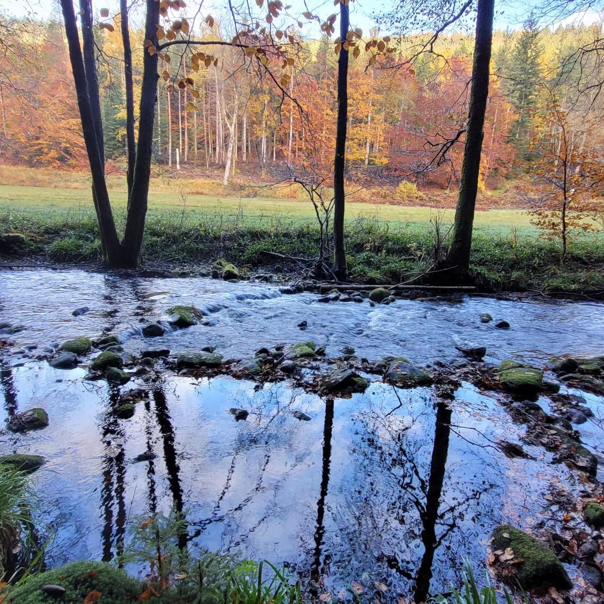
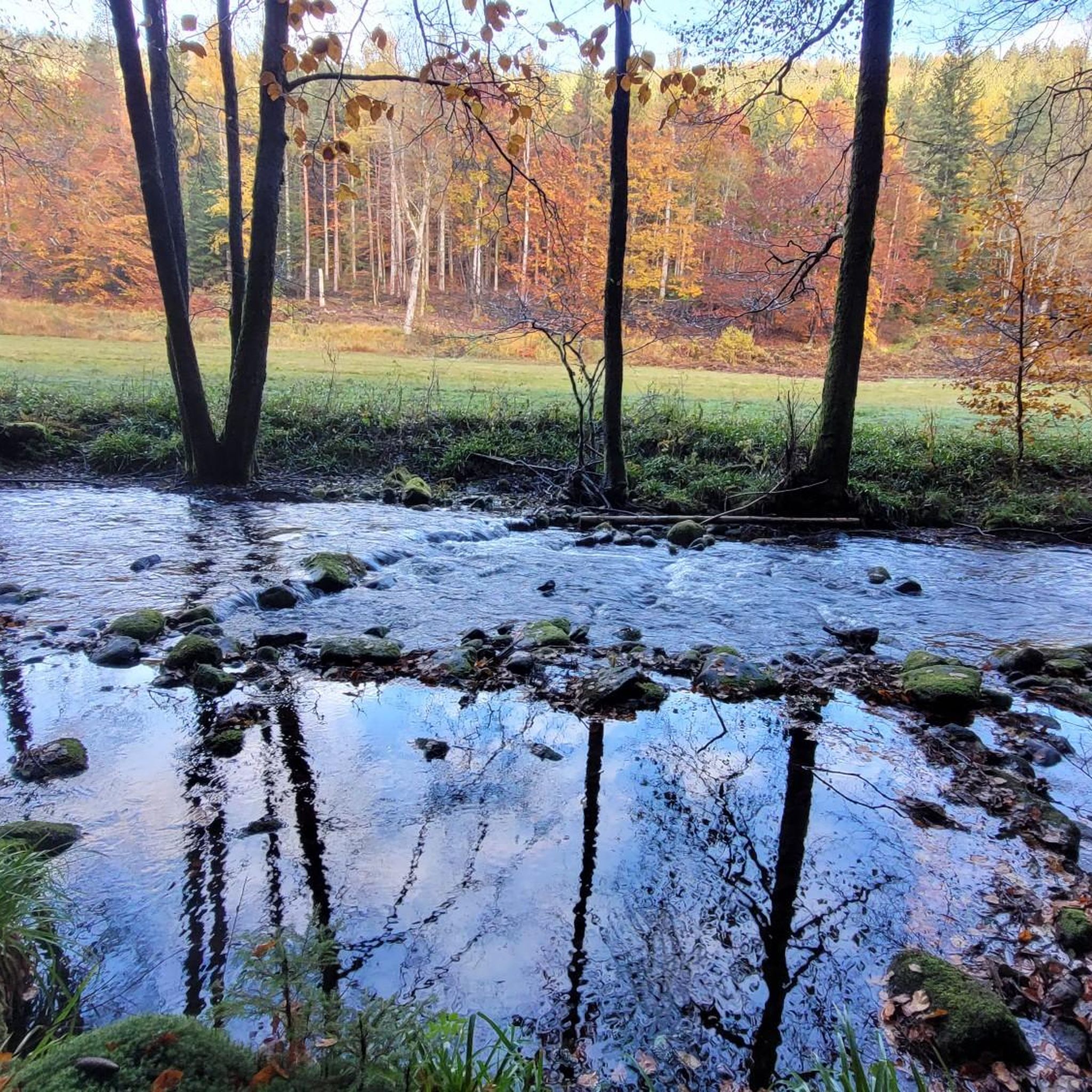
Great hiking trail directly along the Eyach.
0
0

So beautiful here. Rushing water. You could stay here for hours.
0
0
Small path directly along the Eyach
0
0

In some places, the Eyach River slopes slightly, and the water flows a bit more rapidly. This creates small waterfalls with miniature "rapids." No more, no less.
9
0
The four of us had an absolutely fantastic meal there. Both the fish and meat dishes were cooked to perfection. The starters and desserts were also very tasty. All Demeter-certified. It's not exactly cheap, but it was incredibly good.
9
0
There are countless opportunities to rest or unwind along the Eyach.
9
0
The Eyach River is never short of water. Whether summer or winter, the Eyach is never dry.
9
0
Frequently Asked Questions
How many hiking trails are available in Eyach-Und Rotenbachtal?
Eyach-Und Rotenbachtal offers a diverse network of over 30 hiking trails. These include 12 easy routes, 13 moderate excursions, and 7 more challenging tours, catering to various fitness levels and preferences.
What do other hikers enjoy most about hiking in Eyach-Und Rotenbachtal?
The area is highly rated by the komoot community, with an average score of 4.6 stars from over 6,300 reviews. Hikers often praise the wild river valleys, pristine Black Forest scenery, and the opportunity to immerse themselves in pure nature. The Eyach Water Trail, in particular, is frequently highlighted for its comfortable path along the river and access to the water.
What natural features can I expect to see while hiking in Eyach-Und Rotenbachtal?
Eyach-Und Rotenbachtal is characterized by its wild and romantic river valleys, carved by the Eyach and Rotenbach rivers. You'll encounter pristine Black Forest scenery, natural floodplain forests, and unique moorland, especially near the Eyach's headwaters in Kaltenbronn. The landscape also features geological formations like rock boulders and block fields, remnants of the last ice age, and is home to a rich biodiversity of endangered plant and animal species.
Are there easy or family-friendly hiking options in Eyach-Und Rotenbachtal?
Yes, the region offers several easy and family-friendly routes. For a relaxed experience close to the Eyach River, consider the Rest area by the Eyach stream – Eyach Stream loop from Eyachmühle, an easy 1.9-mile (3.1 km) path. Many trails, like the Eyach Water Trail, also provide comfortable walking surfaces and spots to cool your feet in the river, making them suitable for families.
Are there any challenging hikes in Eyach-Und Rotenbachtal?
For those seeking a more strenuous experience, Eyach-Und Rotenbachtal offers several difficult routes. An example is the Schweizerkopf Hut Viewpoint – Eyach Water Trail loop from Eyachmühle, a 9.3-mile (14.9 km) trail with significant elevation gain, leading to viewpoints that offer panoramic vistas of the surrounding Black Forest.
Are there circular hiking routes in Eyach-Und Rotenbachtal?
Yes, many of the trails in Eyach-Und Rotenbachtal are designed as circular routes, allowing you to start and end at the same point. Popular options include the Rest area by the Eyach stream – Eyach Water Trail loop from Eyachmühle and the Meadow Trail along the Eyach – Eyach Stream loop from Eyachmühle, both offering scenic loops through the valleys and meadows.
Can I find places to eat or rest along the hiking trails?
Yes, there are options for refreshments and rest. The historic Eyachmühle Inn is a popular starting point for tours and offers regional cuisine. Additionally, the Lehmannshof Picnic Area, with its historical vaulted cellars and unique 'earth huts,' provides a pleasant spot for a break with benches.
Are there any viewpoints along the trails in Eyach-Und Rotenbachtal?
Some trails in the region lead to elevated points offering scenic views. For instance, certain routes ascend to viewpoints like Dobel's old water tower, providing panoramic vistas of the Vosges, Palatinate Forest, Rhine Plain, and the northern Black Forest mountains. The Schweizerkopf Hut Viewpoint loop is an example of a route designed to reach such elevated perspectives.
Is Eyach-Und Rotenbachtal suitable for hiking with dogs?
Eyach-Und Rotenbachtal is generally dog-friendly, with many trails winding through natural forests and along rivers. The wild and undeveloped nature of the valleys provides a great environment for dogs. However, as a designated nature reserve, it's important to keep dogs on a leash to protect the diverse wildlife and sensitive ecosystems, especially near the moorland and river areas.
Where can I park when visiting Eyach-Und Rotenbachtal for hiking?
The Eyachmühle Inn is a well-known starting point for many hikes and typically offers parking facilities for visitors. It's advisable to check local signage upon arrival for designated parking areas to ensure you are parked legally and respectfully within this protected natural area.
What is the best time of year to hike in Eyach-Und Rotenbachtal?
The region is beautiful year-round, but spring, summer, and early autumn are particularly popular for hiking. Spring brings lush greenery and blooming wildflowers, while summer offers comfortable and refreshing walks along the Eyach Water Trail. Autumn transforms the forests with vibrant colors. The valleys can be serene in winter, but some paths might be slippery or less accessible due to snow or ice.
Are there any unique attractions or historical sites to explore?
Beyond the natural beauty, you can explore the Lehmannshof Picnic Area, where only two vaulted cellars remain from a former farm, offering a glimpse into the area's past. Nearby, you might discover 'earth huts' that resemble hobbit dwellings, believed to be winter quarters for bats, adding a unique touch to your exploration.
Most popular routes in Eyach-Und Rotenbachtal
Most popular attractions in Eyach-Und Rotenbachtal

Get inspired with the komoot mobile app


Explore more
Browse the best Hikes in other regions.
