The best cycling routes in Schaephuysener Höhen
4.5
(7566)
36,325
riders
12
rides
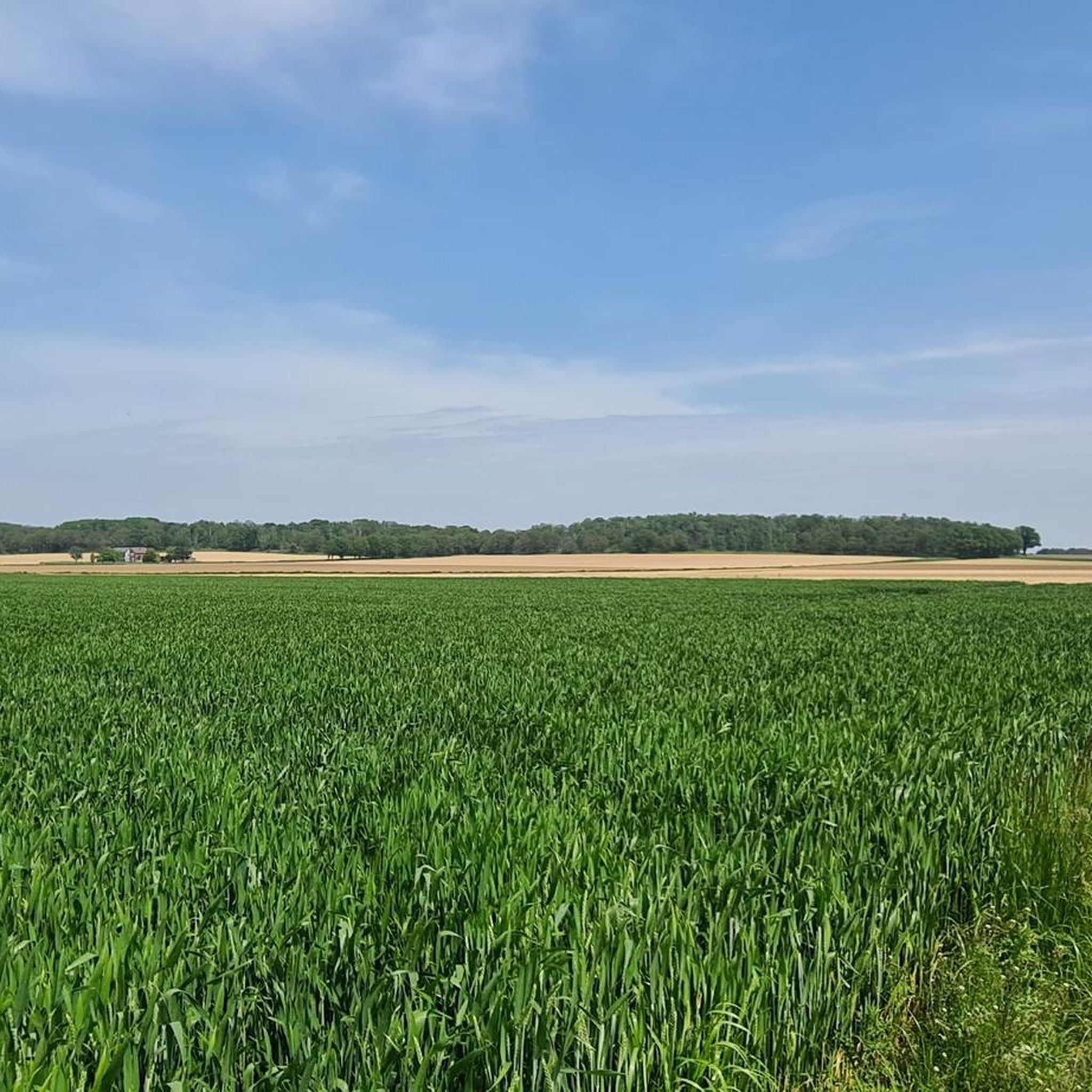
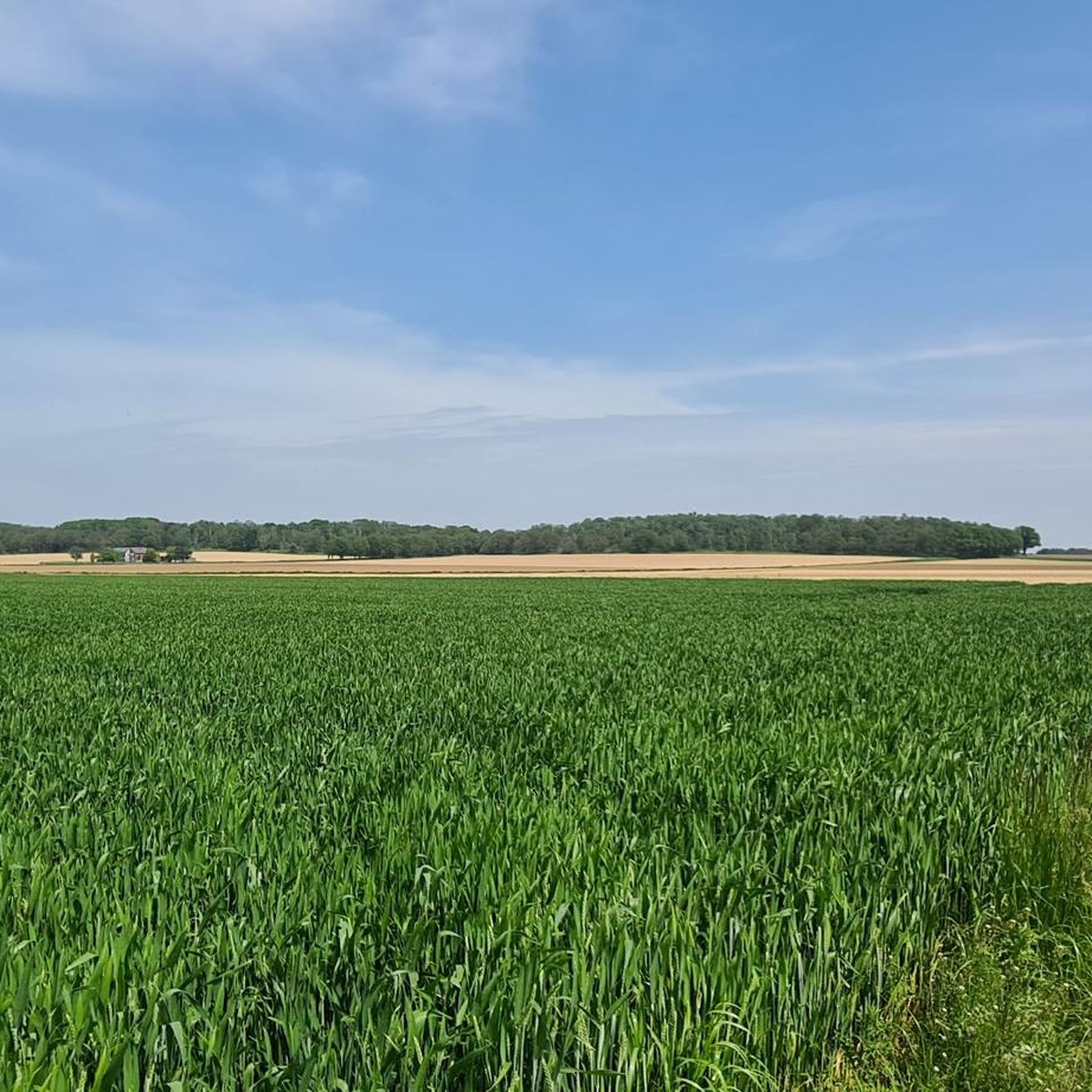
Touring cycling routes in Schaephuysener Höhen traverse a cultural landscape shaped by glacial activity, featuring hills between 60 and 80 meters above sea level. The area presents a varied topography within the flatter Lower Rhine region, offering panoramic views. The landscape includes agricultural land, remnants of deciduous forests, and unique hollow ways, alongside peat bogs from 18th-century peat extraction. This combination of highlands, low terraces, and floodplains provides diverse scenery for cyclists.
Best touring cycling routes in Schaephuysener Höhen
- The…
Last updated: October 14, 2026
3.7
(11)
100
riders
25.5km
01:30
70m
70m
Easy bike ride. Great for any fitness level. Mostly paved surfaces. Suitable for all skill levels.
4.8
(4)
14
riders
21.9km
01:14
30m
30m
Easy bike ride. Great for any fitness level. Mostly paved surfaces. Suitable for all skill levels.

5.0
(1)
25
riders
9.25km
00:32
20m
20m
Easy bike ride. Great for any fitness level. Mostly paved surfaces. Suitable for all skill levels.
16
riders
14.5km
00:52
30m
30m
Easy bike ride. Great for any fitness level. Mostly paved surfaces. Suitable for all skill levels.
5.0
(1)
13
riders
26.4km
01:30
50m
50m
Easy bike ride. Great for any fitness level. Mostly paved surfaces. Suitable for all skill levels.
Get access to more routes and recommendations from other explorers.
Already have an account?
Our route recommendations are based on thousands of hikes, rides, and runs completed by other people on komoot.
Start today with a free account
Your next adventure awaits.

Tips from the Community

St. Hubertus Chapel Rather Weg, 47647 Kerken-Eyll "The landmark in Eyll is still quite new. The foundation stone was laid only on May 5, 2007. After initial discussions, inspired and motivated by the idea, Wim Looschelders, Paul Cladders, Mathias Teneyken, Jakob Kempkens, and Walter Stevens solidified their decision to build a new chapel in Obereyll. Renate and Theo Fürtjes provided the necessary land for the chapel. The building permit was granted in May 2006, and the new chapel was presented at the general meeting of the St. Hubertus Brotherhood on August 14, 2006. The St. Hubertus Eyll Chapel Building Association was founded, with Wim Looschelders as chairman. Two sales and information events, as well as the sale of building blocks for the chapel starting in January 2007, brought the hoped-for financial success. Much work..." The challenges were overcome by the founding members together with many helpers. The foundation stone was laid on May 5, 2007, and the tower and bell were installed on July 12. Two days later, the topping-out ceremony took place with great participation from the local population. https://www.niederrhein-tourismus.de/attraktion/st.-hubertus-kapelle-b6587dff46
2
0

Whether ice cream, coffee, milk, eggs, or seasonal items, there are so many delicious things to choose from here.
0
0

Beautiful fishing area for local clubs.
7
0

The skate and bike park in Moers' Schlosspark leisure park, which opened in 2024, is the second largest in North Rhine-Westphalia (NRW), covering a total of 2,700 square meters, making it roughly the size of half a football field. There are four areas: the Skatebowl (a 900 square meter depression with a concrete basin sunk into the ground), the Snake Run, beginner areas, and a so-called Street Area, which recreates aspects of street scenes with stairs and other features. Source: https://www.nrz.de/staedte/moers-und-umland/article241951374/Die-groesste-in-NRW-Diese-Bowl-bietet-der-Skatepark-Moers.html
2
0

Beautifully restored mill in private ownership.
1
0

Fun for the whole family.
1
0

At a crossroads lies the memorial to Johannes Paulsen, who was murdered at this spot in 1668 and lived in Eyll.
1
0

The old pitheads bear witness to a golden age. Now, high-priced real estate stands here.
1
0
Frequently Asked Questions
How many touring cycling routes are available in Schaephuysener Höhen?
There are over 10 touring cycling routes in Schaephuysener Höhen, offering a variety of experiences. Most of these routes are considered easy, making them accessible for many cyclists.
What is the typical terrain like for touring cycling in Schaephuysener Höhen?
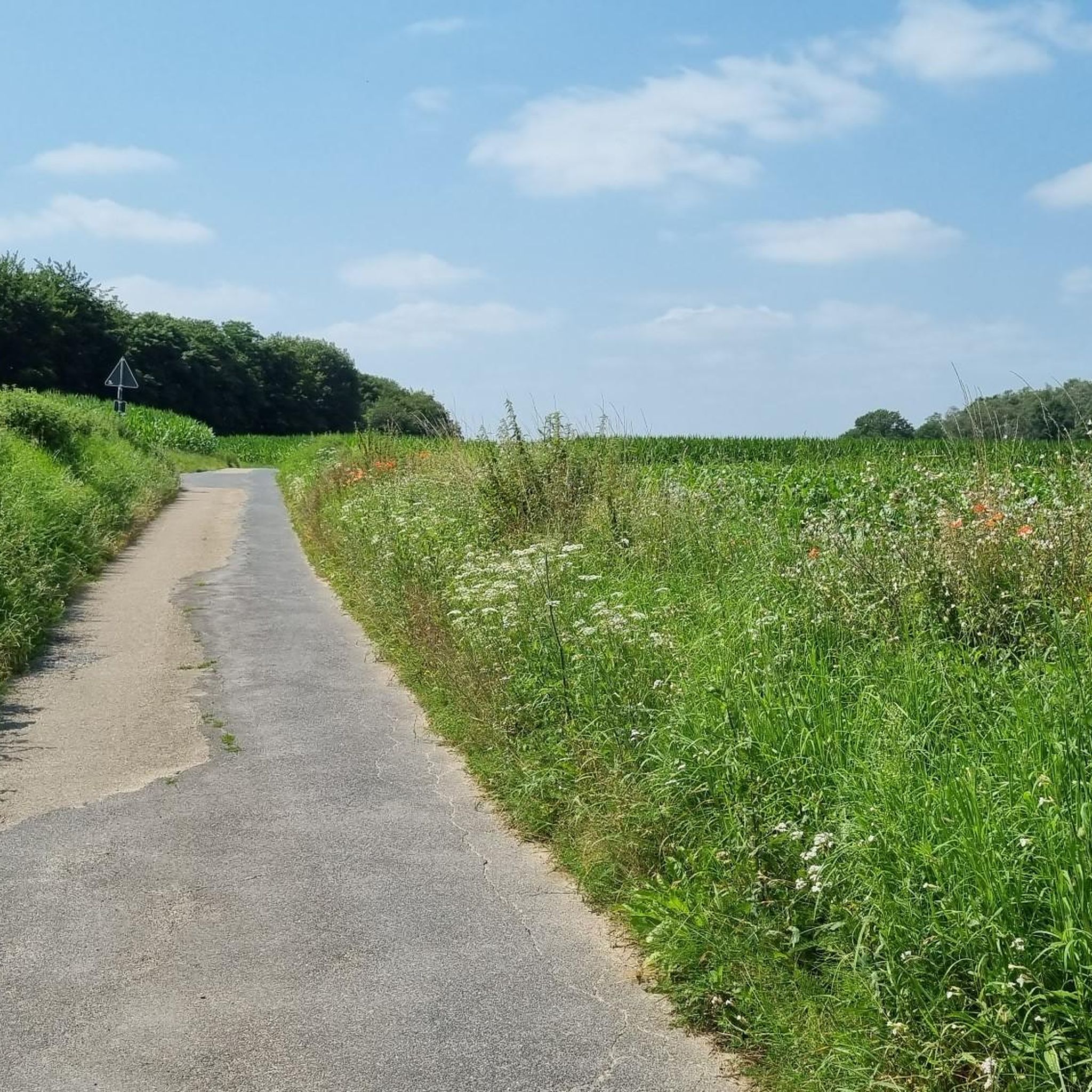
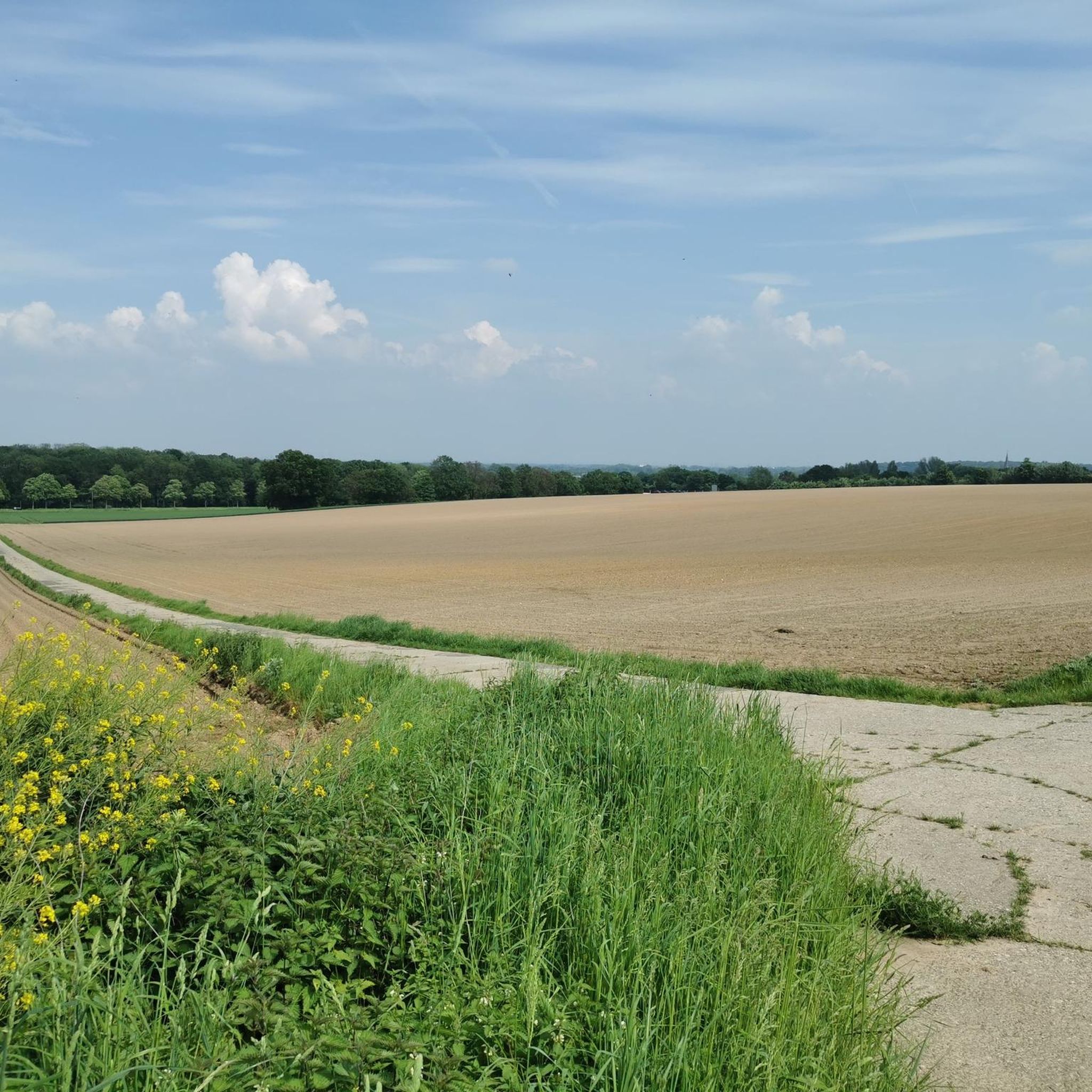
The terrain in Schaephuysener Höhen is characterized by a unique cultural landscape with hills ranging from 60 to 80 meters above sea level, providing varied topography within the flatter Lower Rhine region. You'll find a mix of extensive agricultural land, remnants of deciduous forests, and unique hollow ways. Many cycling paths are on mostly paved surfaces, though some routes may incorporate unpaved sections or older concrete slab paths.
Are there routes suitable for beginners or families?
Yes, Schaephuysener Höhen is very well-suited for beginners and families. Out of the 11 available routes, 10 are rated as easy, featuring minimal elevation gain and mostly paved surfaces. An excellent option is the Paulsen Cross – Field view loop from Schaephuysen, an easy 13.6-mile path with open field views.
Are there any circular touring cycling routes in Schaephuysener Höhen?
Many of the touring cycling routes in Schaephuysener Höhen are designed as loops, allowing you to start and end at the same point. For example, the popular Niederberg Colliery – Niederberg Mine loop from Saelhuysen is a 15.6-mile circular trail with gentle elevation changes.
What are the elevation gains like on touring cycling routes in Schaephuysener Höhen?
The touring cycling routes in Schaephuysener Höhen generally feature gentle elevation changes, reflecting the region's varied but not overly mountainous topography. Most easy routes have minimal climbs, often under 200 feet. For instance, the Shaded Cycle Path – See loop from Tönisberg has an elevation gain of about 112 feet.
What natural features can I expect to see along the cycling routes?
While cycling, you can explore a diverse landscape shaped by glacial activity. Expect to see remnants of deciduous forests like the Staatsforst Rheurdt/Littard, unique hollow ways, and numerous peat bogs (Torfkuhlen or Littardkuhlen), which are relics of 18th-century peat extraction. The area also offers changing vistas of highlands, low terraces, and floodplains. Don't miss the Hollow Way Schaephuysener Höhen or the Hauser Sand Pit.
Are there historical landmarks or points of interest to explore while cycling?
Yes, the Schaephuysener Höhen are rich in historical and cultural points of interest. You can encounter noble residences such as Haus Littard, Gut Leyenburg, and the moated castle Bloemerheim. Other attractions include the Tower Windmill Rheurdt and the Peace Oak (Planted 1871). These historical elements are often integrated into the natural environment, enhancing the cycling experience.
Where can I find panoramic views along the cycling routes?
The varied topography of Schaephuysener Höhen, with its glacial hills, offers several spots for panoramic views over the surrounding Lower Rhine landscape. A notable location is the Panorama Trail on Saelhuyser Berg, which provides excellent vistas.
Is parking available near the touring cycling routes?
Yes, parking is generally available in the villages and near popular trailheads throughout Schaephuysener Höhen. Many routes start from easily accessible points in towns like Schaephuysen, Rheurdt, or Tönisberg, where you can typically find designated parking areas for visitors.
Can I reach the cycling routes using public transport?
While the region is primarily accessed by car, some villages within Schaephuysener Höhen are served by local bus routes. Cyclists planning to use public transport should check local bus schedules and policies regarding bicycle carriage in advance, as options may be limited.
Are the touring cycling routes in Schaephuysener Höhen suitable for dogs?
Many touring cycling routes in Schaephuysener Höhen pass through natural areas and agricultural land where dogs are generally welcome, provided they are kept on a leash, especially near livestock or in nature reserves. Always ensure your dog is well-behaved and that you clean up after them. Specific rules may apply in certain protected areas, so it's advisable to look for local signage.
What do other touring cyclists appreciate most about the routes in Schaephuysener Höhen?
The routes in Schaephuysener Höhen are highly rated by the komoot community, with an average score of 4.5 stars from over 6,300 reviews. Cyclists often praise the peaceful, traffic-restricted roads, the scenic variety of the landscape including forests and open fields, and the historical points of interest. The accessibility for all fitness levels due to gentle elevation changes is also frequently highlighted.
What is the best time of year to go touring cycling in Schaephuysener Höhen?
The Schaephuysener Höhen are enjoyable for touring cycling throughout much of the year. Spring offers blooming landscapes, while summer provides warm weather for longer rides. Autumn is particularly scenic with changing leaf colors in the deciduous forests. While winter cycling is possible, be mindful of colder temperatures and potentially wet or icy conditions on some paths.
Most popular routes in Schaephuysener Höhen
Most popular attractions in Schaephuysener Höhen

Get inspired with the komoot mobile app


Explore more
Browse the best Cycling routes in other regions.
