The best walks and hikes in Schaephuysener Höhen
4.4
(315)
1,456
hikers
44
hikes
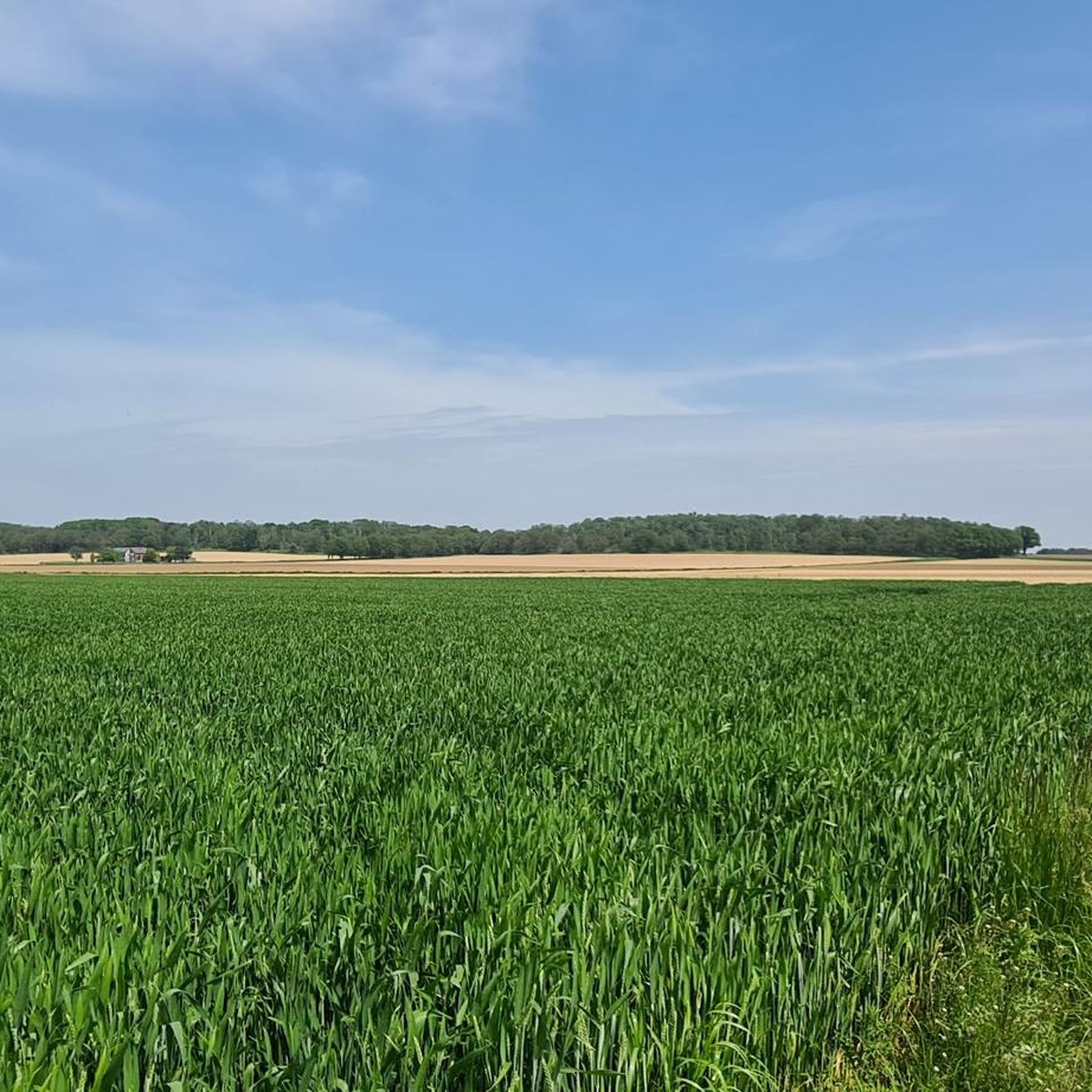
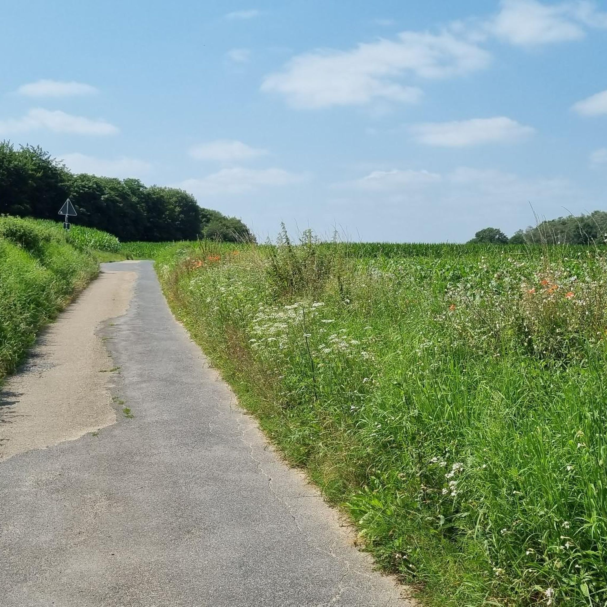
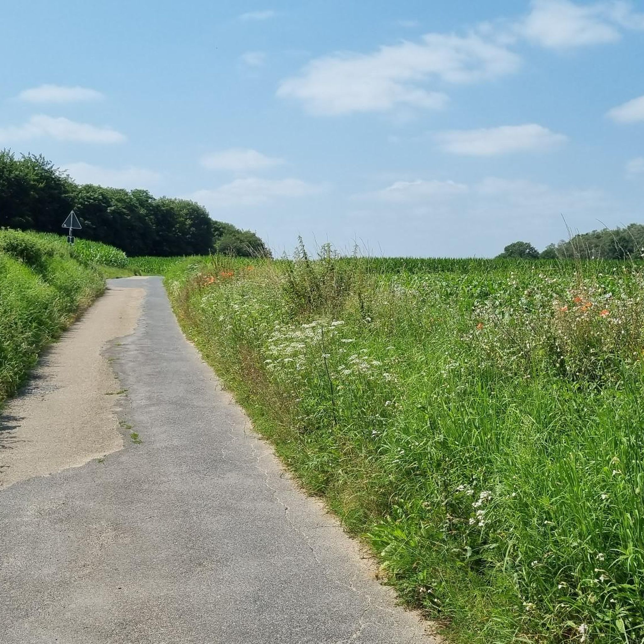
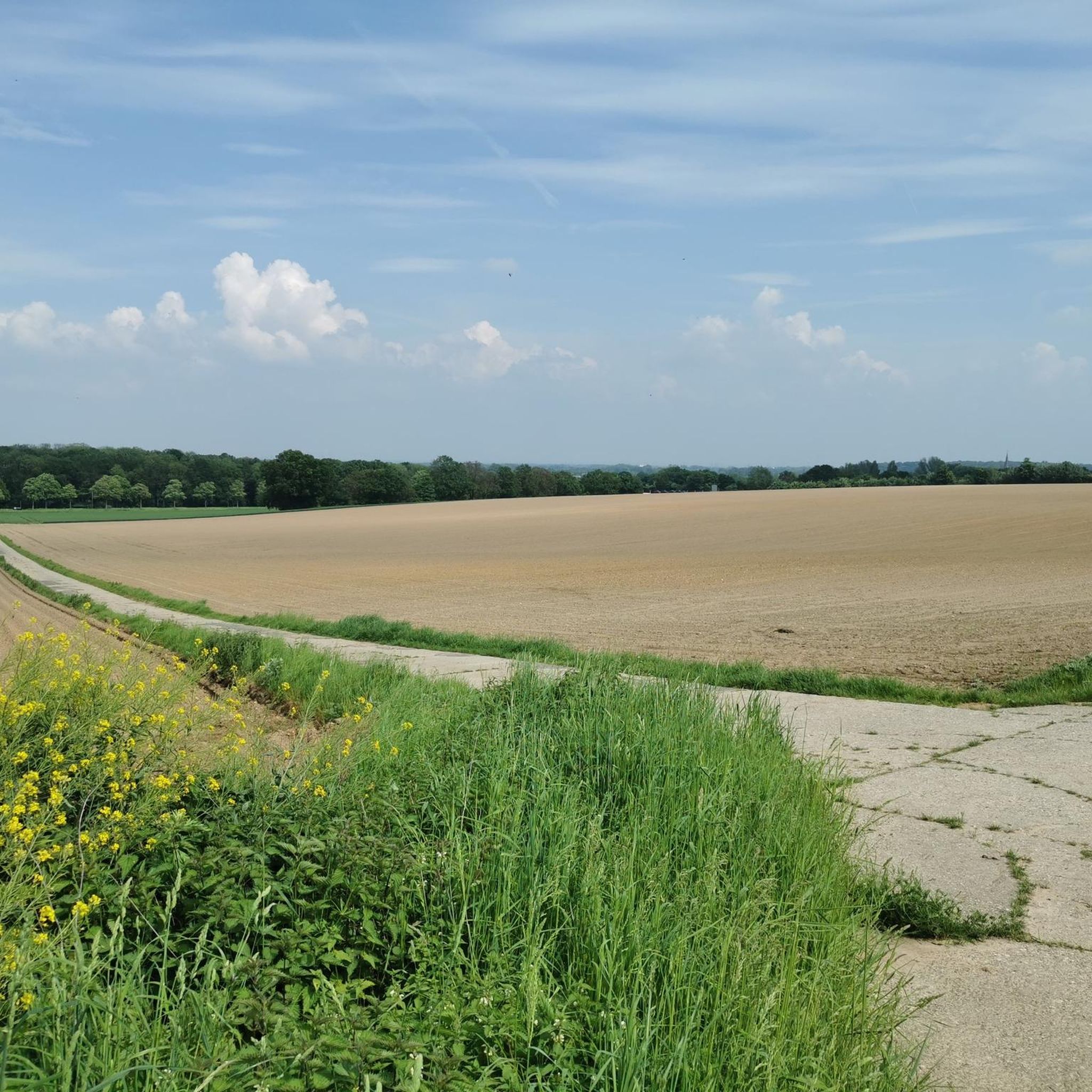
Hiking in Schaephuysener Höhen offers a variety of trails within a beautiful natural park setting in Kreis Kleve. The region is characterized by well-maintained and accessible paths, suitable for both casual strolls and more demanding treks. Hikers can explore a blend of natural scenery, with routes ranging from easy walks to moderate hikes. The landscape provides diverse options for outdoor enthusiasts.
Best hiking trails in Schaephuysener Höhen
- The most popular hiking route is Tower Windmill Rheurdt – Littardkuhlen Ponds loop…
Last updated: October 11, 2026
4.4
(17)
70
hikers
13.7km
03:33
90m
90m
Moderate hike. Good fitness required. Easily-accessible paths. Suitable for all skill levels.
4.6
(14)
50
hikers
4.64km
01:15
60m
60m
Easy hike. Great for any fitness level. Easily-accessible paths. Suitable for all skill levels.

5.0
(4)
21
hikers
6.17km
01:37
40m
40m
Easy hike. Great for any fitness level. Easily-accessible paths. Suitable for all skill levels.
5.0
(3)
19
hikers
17.0km
04:28
140m
140m
Moderate hike. Good fitness required. Easily-accessible paths. Suitable for all skill levels.
5.0
(4)
15
hikers
8.48km
02:13
60m
60m
Moderate hike. Good fitness required. Easily-accessible paths. Suitable for all skill levels.
Get access to more routes and recommendations from other explorers.
Already have an account?
Our route recommendations are based on thousands of hikes, rides, and runs completed by other people on komoot.
Start today with a free account
Your next adventure awaits.

Tips from the Community

Family business with 15,000 laying hens in species-appropriate free-range farming in the countryside. Here you can hear constant clucking and see curious flocks of chickens pecking and scratching.
0
0

From here you can also walk to Bloemersheim Castle.
0
0

Beautiful hike on Christmas Day in sunshine and temperatures around 0 degrees Celsius.
0
0

Beautiful narrow paths on the Schaephuysener Heights 🤗
1
0

Just take a break and put your feet up 👍
1
0
A beautiful piece of nature
1
0

Great forest area to hike through
1
0

If the visibility is good, you can see as far as the Ruhr area
0
0
Frequently Asked Questions
How many hiking trails are available in Schaephuysener Höhen?
Schaephuysener Höhen offers a diverse network of over 40 hiking trails. These routes cater to various fitness levels, ranging from easy strolls to more challenging treks, all within a beautiful natural park setting.
Are there easy hiking routes suitable for beginners or families in Schaephuysener Höhen?
Yes, Schaephuysener Höhen is very welcoming for beginners and families, with over 30 easy routes. An excellent option is the Peephole into Local History – Saelhuyser Hill loop from Saelhuysen, which is an easy 4.6 km trail that takes about 1 hour 15 minutes to complete, leading through gentle hills and local historical points.
What kind of natural scenery can I expect while hiking in Schaephuysener Höhen?
The region is known as a 'prachtig natuurpark' (beautiful nature park), offering a blend of natural scenery. You'll find well-maintained paths, varied terrain, and areas like the Littardkuhlen Ponds, which you can experience on routes such as the Tower Windmill Rheurdt – Littardkuhlen Ponds loop from Saelhuysen.
Are there any circular walks in Schaephuysener Höhen?
Yes, many of the trails in Schaephuysener Höhen are circular, allowing you to start and end at the same point. For example, the Sonnenkino Trail Schaephuysen – Former Hauser Gravel Pit loop from Tönisberg is a moderate 7.6 km circular path that takes you through varied terrain.
What are some interesting landmarks or attractions to see along the hiking trails?
You can discover several points of interest. Consider visiting the Tower Windmill Rheurdt, or the historic Peace Oak (Planted 1871). For scenic views, explore the Panorama Trail on Saelhuyser Berg.
What do other hikers say about their experience in Schaephuysener Höhen?
The komoot community highly rates Schaephuysener Höhen, with an average score of 4.5 stars from over 100 reviews. Hikers often praise the well-maintained and accessible paths, the beautiful natural park environment, and the variety of routes suitable for different abilities.
Are there any trails that feature unique natural elements like former gravel pits?
Yes, the region offers diverse landscapes, including areas with unique geological features. The Sonnenkino Trail Schaephuysen – Former Hauser Gravel Pit loop from Tönisberg specifically leads through a former gravel pit, providing distinct views and terrain.
How long do hikes in Schaephuysener Höhen typically take?
Hike durations vary significantly. Easy walks can take up to two hours, while moderate hikes might require good basic fitness and last up to five hours. For example, the moderate Tower Windmill Rheurdt – Littardkuhlen Ponds loop from Saelhuysen typically takes around 3 hours 33 minutes.
Are there any trails that offer views of the wider Schaephuysener Höhen area?
For expansive views, consider routes that ascend to higher points. The View of Schaephuysener Höhen – Saelhuyser Hill loop from Tönisberg is a moderate 17 km trail that offers scenic vistas across the region.
What is the general difficulty level of hiking trails in Schaephuysener Höhen?
The trails in Schaephuysener Höhen cater to a wide range of abilities. The majority (over 30) are easy, suitable for casual walkers. There are also 9 moderate routes for those seeking a bit more challenge, and a single difficult trail for experienced hikers.
Are there any trails that pass by wildlife enclosures?
Yes, you can find routes that offer glimpses of local wildlife. The Fallow Deer Enclosure – Red Deer Enclosure loop from Rheurdt is an easy 6.1 km trail that takes you past these enclosures, providing a chance to observe deer.
Most popular routes in Schaephuysener Höhen
Most popular attractions in Schaephuysener Höhen

Get inspired with the komoot mobile app


Explore more
Browse the best Hikes in other regions.
