The best cycling routes in Vaaler Moor Und Herrenmoor
4.5
(2986)
10,496
riders
699
rides
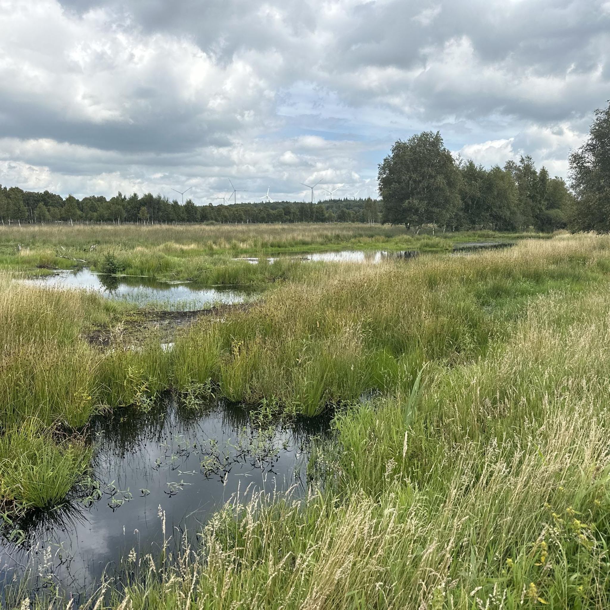
Touring cycling routes in Vaaler Moor Und Herrenmoor offer exploration of a distinctive moorland landscape, characterized by its predominantly flat terrain. This region, located between the Nord-Ostsee Canal and Itzehoe, includes Germany's lowest point at 3.5 meters below sea level, ensuring minimal elevation gain. Cyclists will encounter a mosaic of high moor and fen landscapes, birch forests, and reed beds, providing varied natural scenery. The area is well-suited for relaxed cycling, with an extensive network of accessible paths.
Best touring cycling routes in Vaaler Moor Und Herrenmoor
- The most popular touring cycling route is Hohenhörn Canal Ferry – Kiel Canal (Nord-Ostsee-Kanal) loop from Hochdonn, a 21.7 miles (34.9 km) trail that takes 1 hour 56 minutes to complete. This route offers views of the Kiel Canal and includes a ferry crossing.
- Another top favourite among local touring cyclists is Nord-Ostsee-Kanal Cycle Path – Brunsbüttel Locks loop from Hochdonn, a moderate 24.9 miles (40.0 km) path. This route follows the canal path, passing by the Brunsbüttel Locks.
- Local touring cyclists also love the Boat Harbor on the Kiel Canal – Hohenhörn Canal Ferry loop from Hochdonn, a 18.4 miles (29.6 km) trail leading through the canal-side landscape, often completed in about 1 hour 46 minutes.
- Touring cycling in Vaaler Moor Und Herrenmoor is defined by expansive moorlands, the Nord-Ostsee Canal, and diverse natural features like birch forests and reed beds. The network offers options for easy road rides and moderate paths, suitable for various ability levels.
- The routes in Vaaler Moor Und Herrenmoor are highly rated by the komoot community with an average score of 4.5 stars from over 2,100 reviews. More than 8,000 touring cyclists have used komoot to explore Vaaler Moor Und Herrenmoor's varied terrain.
Last updated: October 16, 2026
5.0
(8)
16
riders
39.2km
02:17
110m
110m
Moderate bike ride. Good fitness required. Mostly paved surfaces. Suitable for all skill levels.
4.9
(21)
30
riders
21.9km
01:16
60m
60m
Easy bike ride. Great for any fitness level. Mostly paved surfaces. Suitable for all skill levels.

4.5
(4)
15
riders
40.8km
02:26
160m
160m
Moderate bike ride. Good fitness required. Mostly paved surfaces. Suitable for all skill levels.
4.6
(88)
312
riders
Moderate bike ride. Good fitness required. Mostly paved surfaces. Suitable for all skill levels.
4.9
(12)
33
riders
56.0km
03:16
200m
200m
Moderate bike ride. Good fitness required. Mostly paved surfaces. Suitable for all skill levels.
Get access to more routes and recommendations from other explorers.
Already have an account?
Our route recommendations are based on thousands of hikes, rides, and runs completed by other people on komoot.
Start today with a free account
Your next adventure awaits.
Tips from the Community

Stands like a lighthouse in the surf.
0
0
You simply have to have been there.
0
0

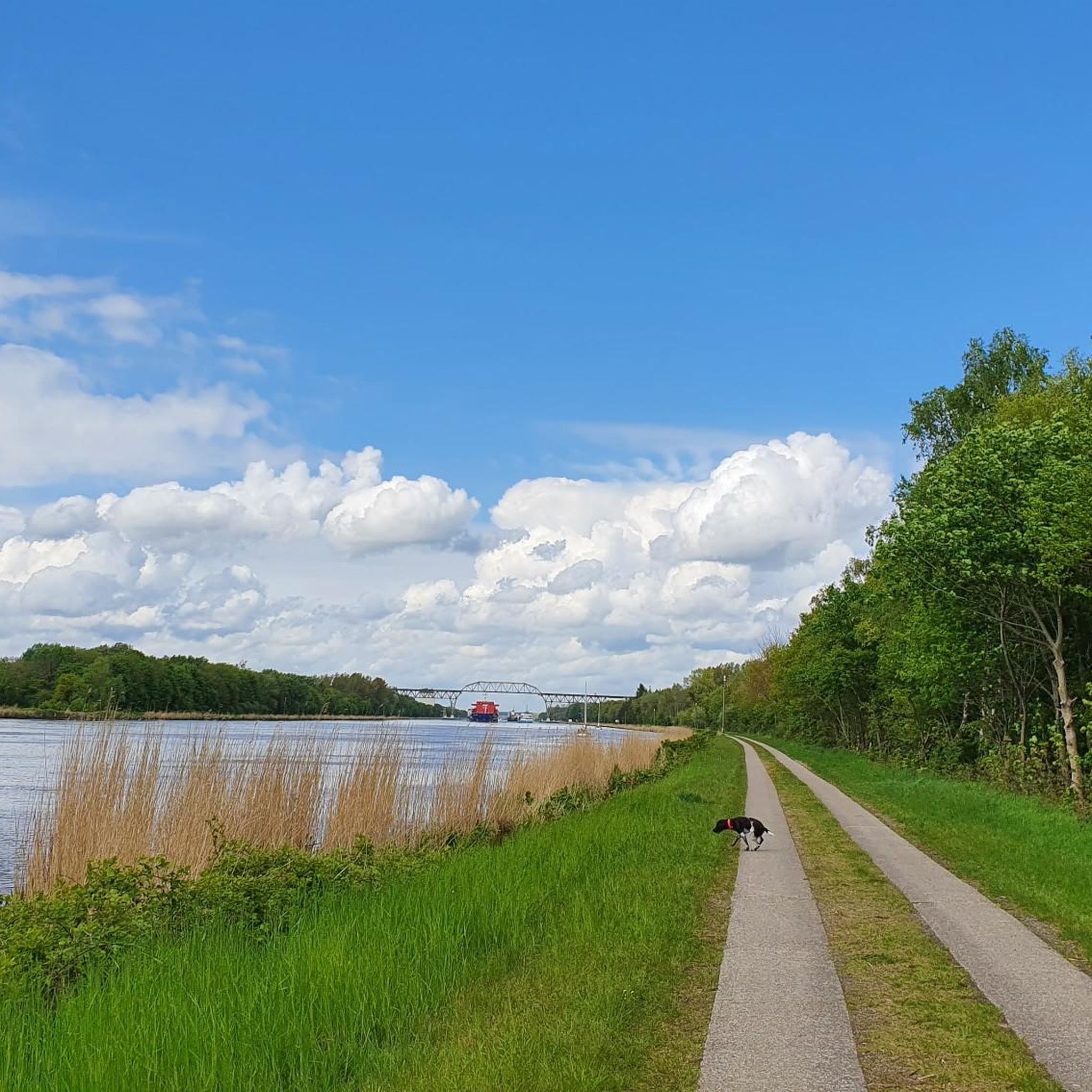
Beautiful view of the bridge 💯🔝👍🏻🚴♀️
1
0
Impressive railway bridge - worth seeing 💯🔝👍🏻🚴♀️
3
0

Fabulous overview of the canal shipping and the surroundings.
0
0

Countless bridges on the NOK resemble each other. Nevertheless, they all retain their charm. The path along the NOK could be much better.
1
0

Hello, this is definitely the Hochdonn railway bridge. The Rendsburg High Bridge is located about 45 km further east in Rendsburg. This bridge was built between 1913 and 1920 to replace a swing bridge 12 km further west (Taterpfahl). Parts of this swing bridge were used to cross the Schlei River for the Lindaunis Bridge.
2
0
Frequently Asked Questions
How many touring cycling routes are available in Vaaler Moor Und Herrenmoor?
There are over 700 touring cycling routes available in Vaaler Moor Und Herrenmoor, offering a wide range of options for exploration. Over 500 of these are rated as easy, making the region very accessible for various skill levels.
What is the terrain like for touring cycling in Vaaler Moor Und Herrenmoor?
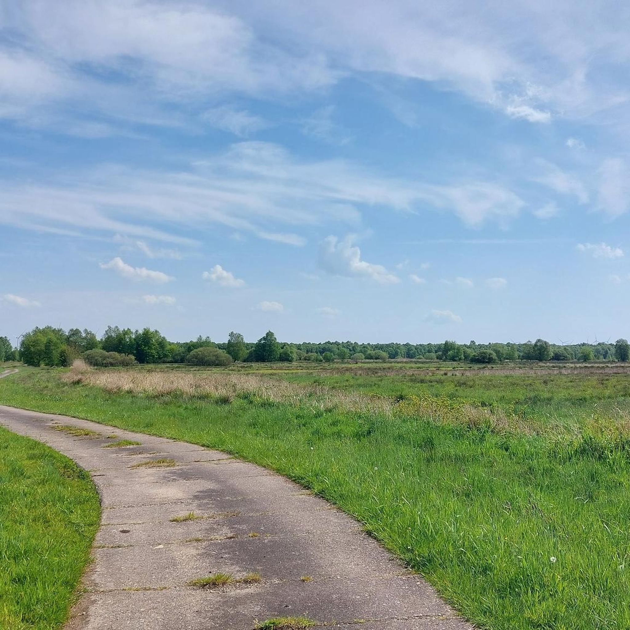
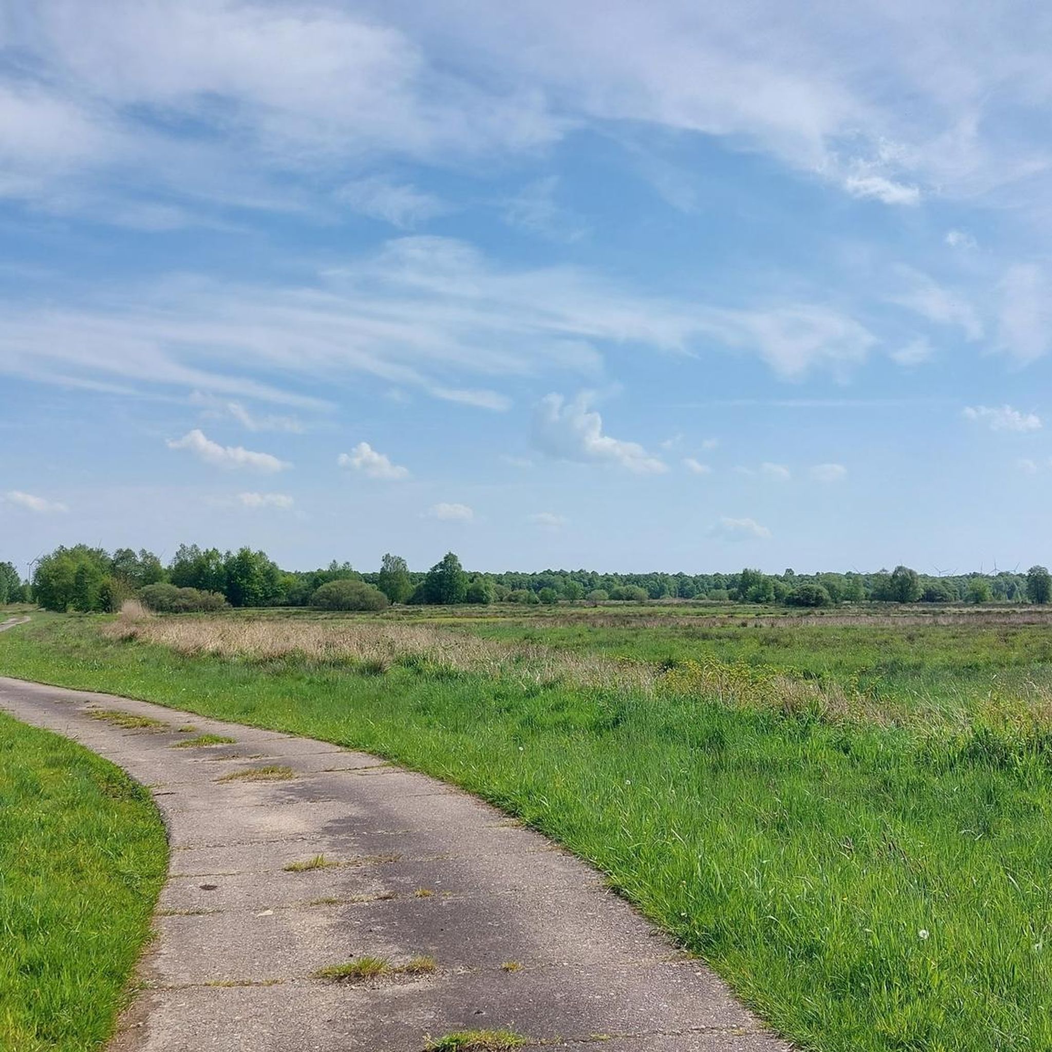
The terrain in Vaaler Moor Und Herrenmoor is predominantly flat, making it ideal for relaxed touring cycling. The region includes Germany's lowest point at 3.5 meters below sea level, ensuring minimal elevation gain. You'll cycle through a mosaic of high moor and fen landscapes, birch forests, reed beds, and even some sandy areas.
Are there routes suitable for families or beginners?
Yes, the region is very well-suited for families and beginners due to its mostly flat and accessible paths. Over 500 of the available routes are rated as easy. For example, the Hochdonn railroad bridge – Burger Ferry House loop from Hochdonn is an easy 13.7 km route that's great for a relaxed outing.
What kind of natural landscapes and wildlife can I expect to see?
You can expect to see diverse natural landscapes including high moor and fen areas, grasslands on peat soil, birch forests, reed beds, and willow bushes. The moorlands are vital habitats for species like the marsh lily, sundew, and cotton grass. Keep an eye out for protected animals such as the moor frog, adder, and grass snake, and various birds like snipe, black woodpeckers, cranes, and stonechats.
What are some interesting places to see along the cycling routes?
Along the cycling routes, you can explore several interesting points. The Herrenmoor Nature Reserve near Kleve is a significant area for nature observation. You can also visit the Viewpoint at Herrenmoor Nature Reserve for panoramic views, or cycle along the Pathway Along the Kiel Canal.
Are there circular cycling routes available?
Yes, many of the routes in Vaaler Moor Und Herrenmoor are designed as loops, making them convenient for touring cyclists. An example is the Nord-Ostsee-Kanal Cycle Path – Brunsbüttel Locks loop from Hochdonn, a moderate 40 km path that follows the canal.
When is the best time of year to go touring cycling in this region?
The region is enjoyable for cycling throughout much of the year, but spring to early autumn (April to October) generally offers the most pleasant weather conditions for exploring the moorland landscapes and enjoying the diverse flora and fauna. The changing colors of the moorlands in autumn can be particularly scenic.
Is there parking available near the cycling routes?
While specific parking locations are not detailed for every route, the region is generally accessible, and many starting points for cycling tours, especially those originating from towns like Hochdonn, will have parking facilities. It's advisable to check local information for specific trailheads.
What do other cyclists say about touring cycling in Vaaler Moor Und Herrenmoor?
The area is highly rated by the komoot community, with an average score of 4.5 stars from over 2,100 reviews. Cyclists often praise the tranquil environment, the expansive moorland scenery, and the well-maintained, mostly flat paths that are perfect for relaxed exploration.
Are the cycling routes in Vaaler Moor Und Herrenmoor dog-friendly?
Many natural areas in Germany are dog-friendly, especially on leash. Given the extensive network of paths through moorlands and forests, it's generally possible to bring dogs. However, always ensure your dog is kept on a leash, especially in nature reserves like the Herrenmoor Nature Reserve near Kleve, to protect local wildlife and respect other visitors.
Are there places to rest or eat along the routes?
Yes, the region is equipped with numerous benches and rest areas along the cycling paths, inviting cyclists to pause and appreciate the natural beauty. While specific cafes or pubs are not listed for every route, towns and villages within and around the region, such as Hochdonn, will offer options for refreshments and accommodation.
Are there any routes that offer views of the Kiel Canal?
Absolutely. The Kiel Canal is a prominent feature of the region. Routes like the Hohenhörn Canal Ferry – Kiel Canal (Nord-Ostsee-Kanal) loop from Hochdonn and the Boat Harbor on the Kiel Canal – Hohenhörn Canal Ferry loop from Hochdonn offer excellent views of the canal and even include ferry crossings.
Most popular routes in Vaaler Moor Und Herrenmoor
Most popular attractions in Vaaler Moor Und Herrenmoor

Get inspired with the komoot mobile app


Explore more
Browse the best Cycling routes in other regions.
