The best running trails in Oberfrauenau
4.4
(215)
2,308
runners
258
runs
Jogging in Oberfrauenau offers diverse natural landscapes within the Bavarian Forest, characterized by extensive woodlands, varied elevations, and serene water bodies. The region features a network of running trails that traverse wooded hillsides, open fields, and valleys, providing a range of experiences from gentle paths to challenging ascents. Notable natural features include the Frauenau Reservoir and the surrounding mountains, which contribute to a stimulating backdrop for running. This environment ensures varied terrain for runners of all abilities.
Best jogging routes…
Last updated: October 8, 2026
4.0
(2)
46
runners
30.1km
04:31
1,330m
1,330m
Hard run. Very good fitness required. Sure-footedness, sturdy shoes and alpine experience required.
23
runners
40.0km
05:42
1,350m
1,350m
Hard run. Very good fitness required. Sure-footedness, sturdy shoes and alpine experience required.

31
runners
13.0km
01:59
670m
670m
Hard run. Very good fitness required. Sure-footedness, sturdy shoes and alpine experience required.
5.0
(4)
34
runners
14.6km
02:07
680m
680m
Hard run. Very good fitness required. Sure-footedness, sturdy shoes and alpine experience required.
13
runners
5.03km
00:36
100m
100m
Moderate run. Good fitness required. Mostly paved surfaces. Suitable for all skill levels.
Get access to more routes and recommendations from other explorers.
Already have an account?
Our route recommendations are based on thousands of hikes, rides, and runs completed by other people on komoot.
Start today with a free account
Your next adventure awaits.


Tips from the Community


Beautiful rocky section of the path on the way to the Lusen summit.
7
0
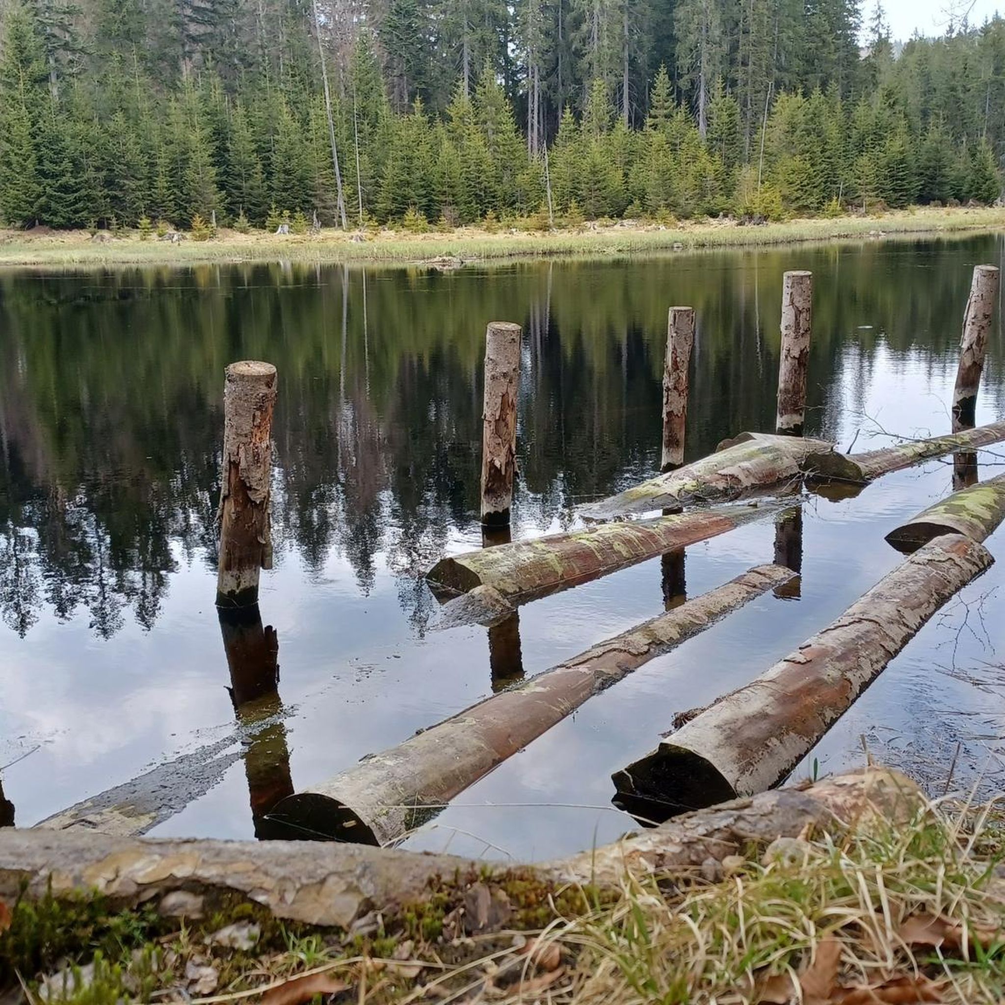
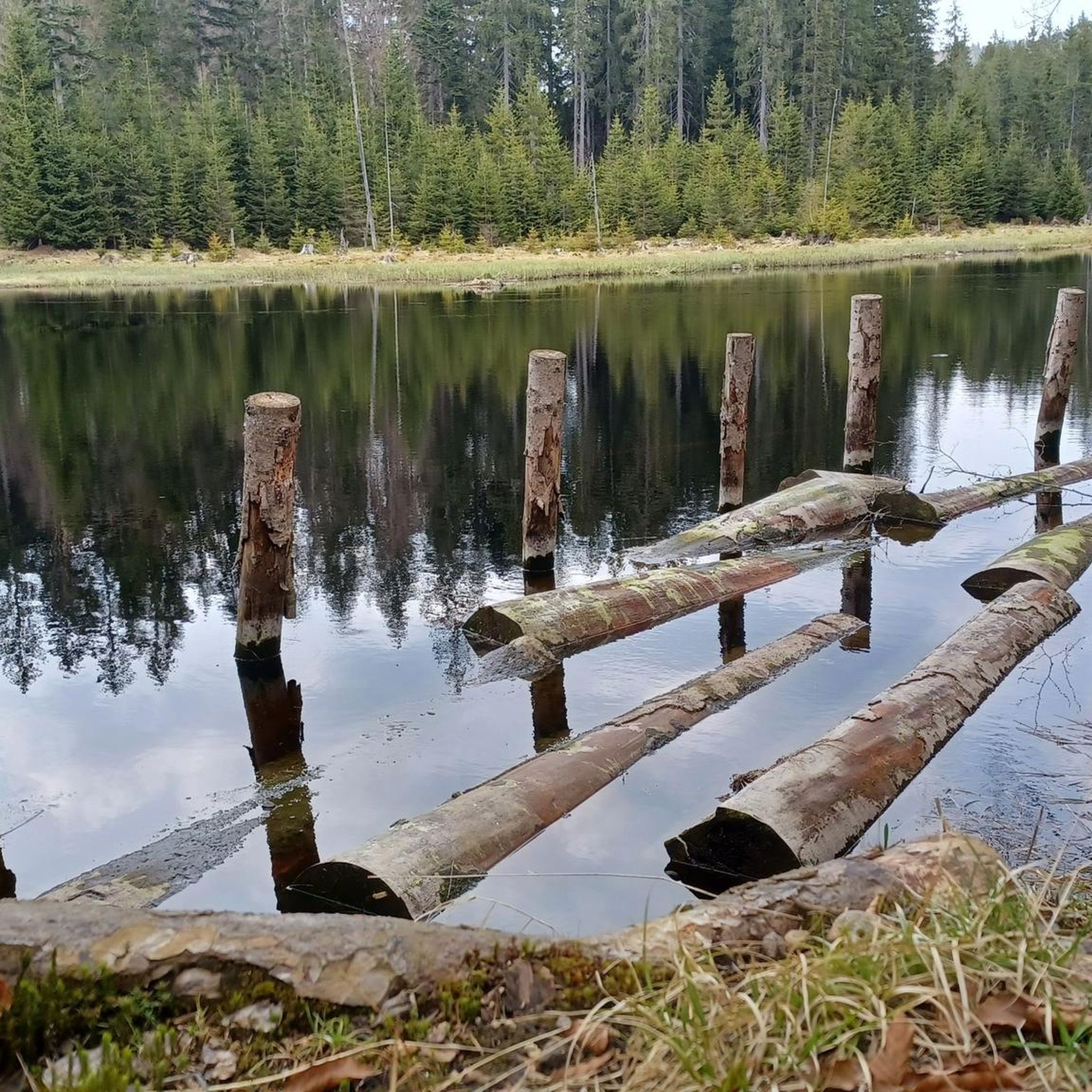
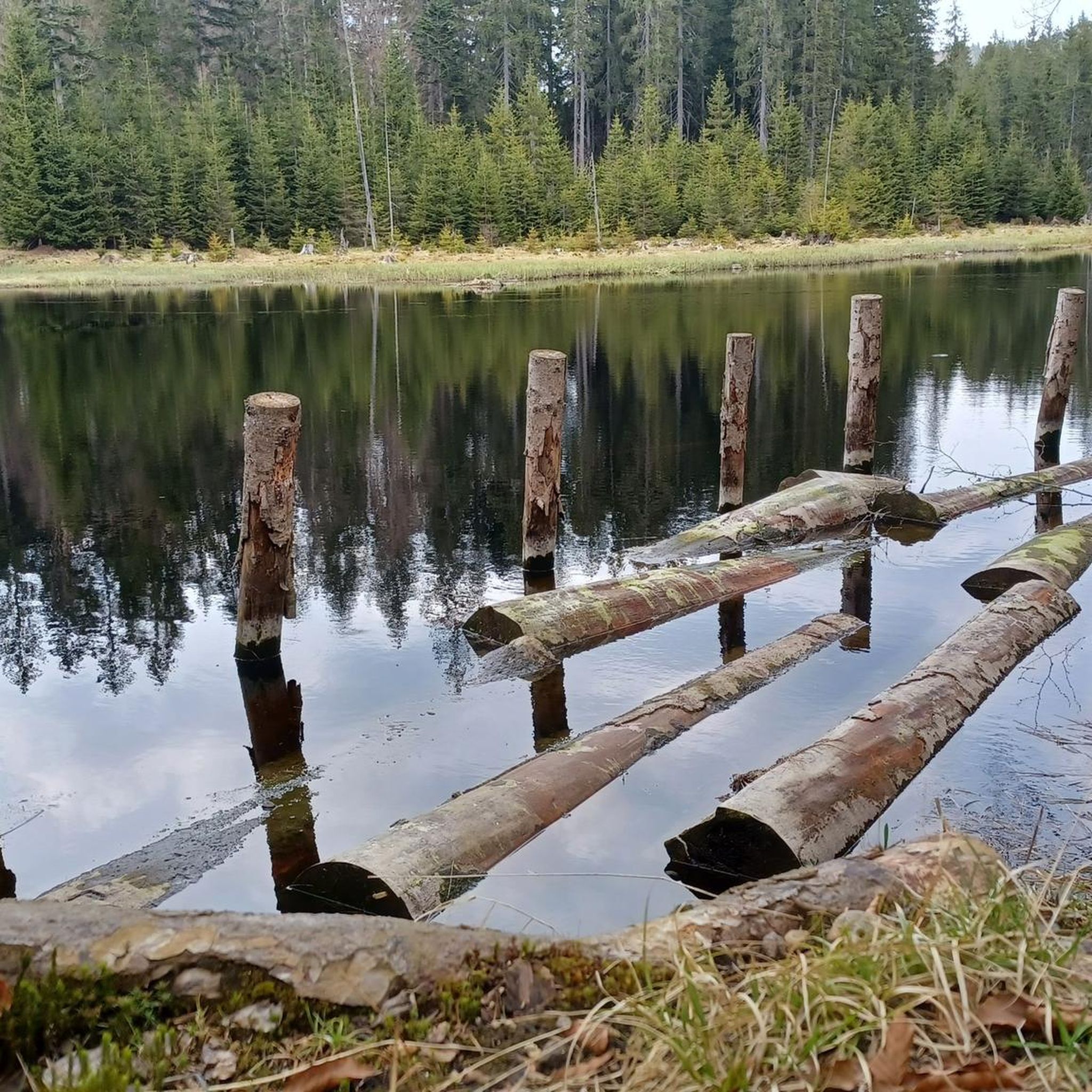
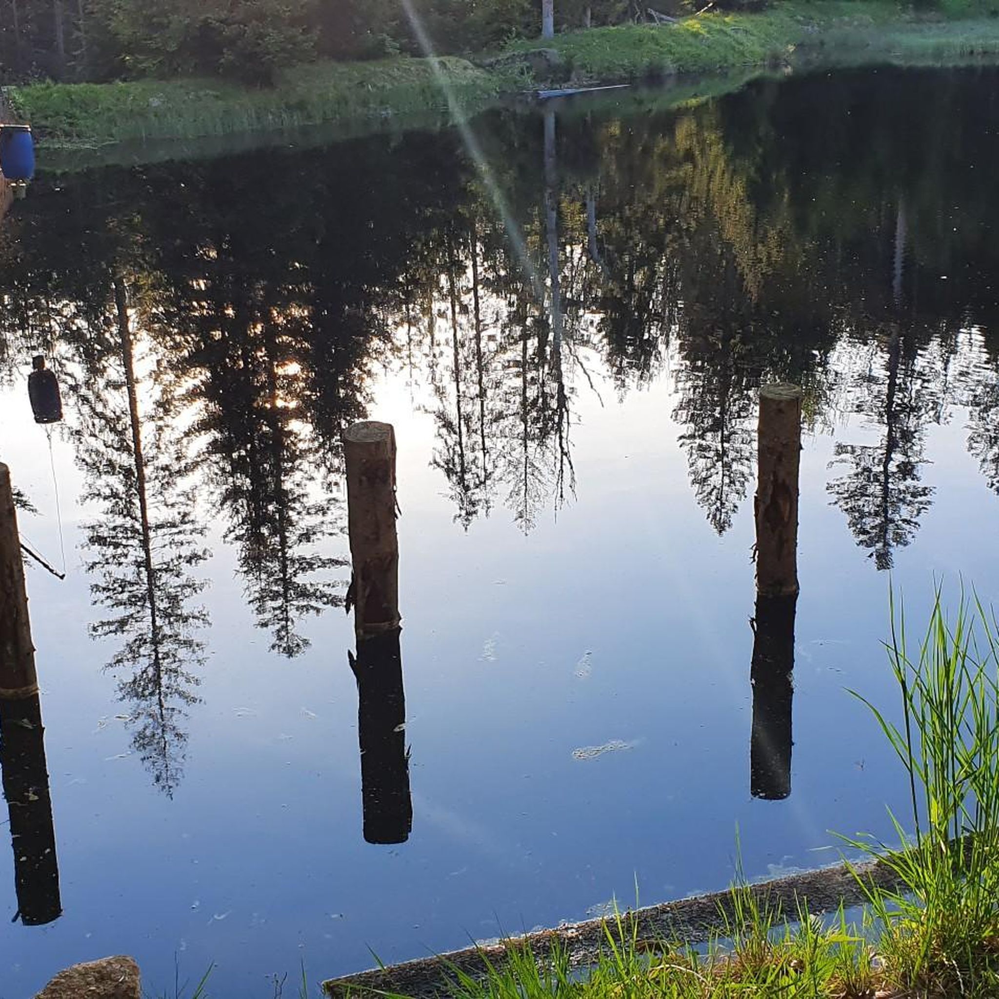
Small, picturesque reservoir. It reminds me a lot of the Harz Mountains.🫶
9
0

Great view of the drinking water dam
0
1
Great panoramic view from the big Rachel
0
0

Easy to reach from the nearby hiking car park. Next time I'll take my bike with me, because it's a good mile from the lake to get up to the Schachten. Hiking and biking definitely makes sense here.
1
0
For me, the wayside cross has a bit of a Byzantine feel to it - I find it very beautiful.
0
1
Frequently Asked Questions
How many running routes are available in Oberfrauenau?
Oberfrauenau offers a wide selection of running routes, with over 200 trails available for exploration. These routes cater to various fitness levels, ranging from easy paths to challenging mountain runs.
What kind of terrain can I expect on the jogging trails in Oberfrauenau?
The jogging trails in Oberfrauenau, nestled within the Bavarian Forest, feature diverse natural landscapes. You can expect a mix of wooded hillsides, open fields, and valleys, providing both challenging ascents and gentler, meandering paths. The region is characterized by dense forests, significant summits like Großer Rachel, and tranquil water bodies such as the Frauenau Reservoir.
Are there any easy or beginner-friendly running routes in Oberfrauenau?
Yes, Oberfrauenau has approximately 20 easy running routes suitable for beginners or those looking for a more relaxed jog. While many routes offer challenging terrain, there are options available for all abilities.
What are some challenging running routes for experienced runners in Oberfrauenau?
For experienced runners seeking a challenge, Oberfrauenau offers numerous difficult routes. A notable option is the Großer Rachel Summit – Frauenau Drinking Water Reservoir loop from Klingenbrunn, an 18.7-mile (30 km) trail combining a demanding summit ascent with scenic reservoir views. Another difficult route is the Martinsklause Reservoir – Lake Rachel loop from Klingenbrunn, a 24.8-mile (40 km) path exploring two distinct reservoirs and extensive forest landscapes.
Are there any circular running routes in Oberfrauenau?
Yes, many of the running routes in Oberfrauenau are circular, allowing you to start and finish at the same point. For instance, the Großer Rachel summit (1,453 m) loop from Klingenbrunn is a popular 7.9-mile (13 km) circular trail leading directly to the prominent summit.
What natural landmarks or points of interest can I see along the running trails?
Oberfrauenau's running trails offer access to several natural landmarks. You can encounter mystical spots like the Teufelsloch (Devil's Hole) and the Glass Arche, especially on routes leading towards the Lusen Summit. The broader area is part of the Bavarian Forest National Park, offering a rich tapestry of forests and mountains. You might also pass by the Altposchingerhütte or the National Park itself.
Is Oberfrauenau suitable for family-friendly jogging or running with children?
While many routes in Oberfrauenau are challenging, the diverse network includes easier paths that can be suitable for families. Look for routes categorized as 'easy' or 'moderate' to find trails with gentler gradients and shorter distances, which are often more appropriate for jogging with children.
Can I bring my dog on the running trails in Oberfrauenau?
The Bavarian Forest region generally welcomes dogs on trails, but it's always advisable to check specific regulations for the Bavarian Forest National Park or individual routes. Ensure your dog is kept on a leash, especially in protected areas or near wildlife, and always clean up after your pet.
What is the best time of year to go jogging in Oberfrauenau?
Oberfrauenau is beautiful year-round, but the best time for jogging typically depends on your preference. Spring and autumn offer pleasant temperatures and vibrant scenery. Summer is also popular, though some trails might be busier. Winter jogging is possible, especially on well-maintained paths, but be prepared for snow and ice, particularly at higher elevations.
How can I access the running routes in Oberfrauenau, regarding parking and public transport?
Many running routes in Oberfrauenau, including those starting from Klingenbrunn or Oberfrauenau itself, typically have designated parking areas nearby. For public transport, regional bus services connect various villages within the Bavarian Forest. It's recommended to check local transport schedules for specific access points to trailheads.
What do other runners say about jogging in Oberfrauenau?
The running routes in Oberfrauenau are highly rated by the komoot community, with an average score of 4.5 stars from over 170 reviews. Reviewers often praise the diverse terrain, the stunning natural beauty of the Bavarian Forest, and the variety of options for different fitness levels.
Are there any routes that offer panoramic views?
Absolutely. The region is known for its elevated views. Routes leading to summits like Großer Rachel or Lusen offer breathtaking panoramic views of the Bavarian Forest, and on clear days, you might even see the Alpine ridge. For example, the Rachel Summit (Rachel Peak) – View of Frauenau loop from Oberfrauenau provides excellent vistas.
Most popular routes in Oberfrauenau
Most popular attractions in Oberfrauenau

Get inspired with the komoot mobile app


Explore more
Browse the best Running Trails & Routes in other regions.
