Kampfmittelgefahrengebiet Brucker Forst
Kampfmittelgefahrengebiet Brucker Forst
The best running trails in Kampfmittelgefahrengebiet Brucker Forst
4.5
(237)
4,857
runners
338
runs
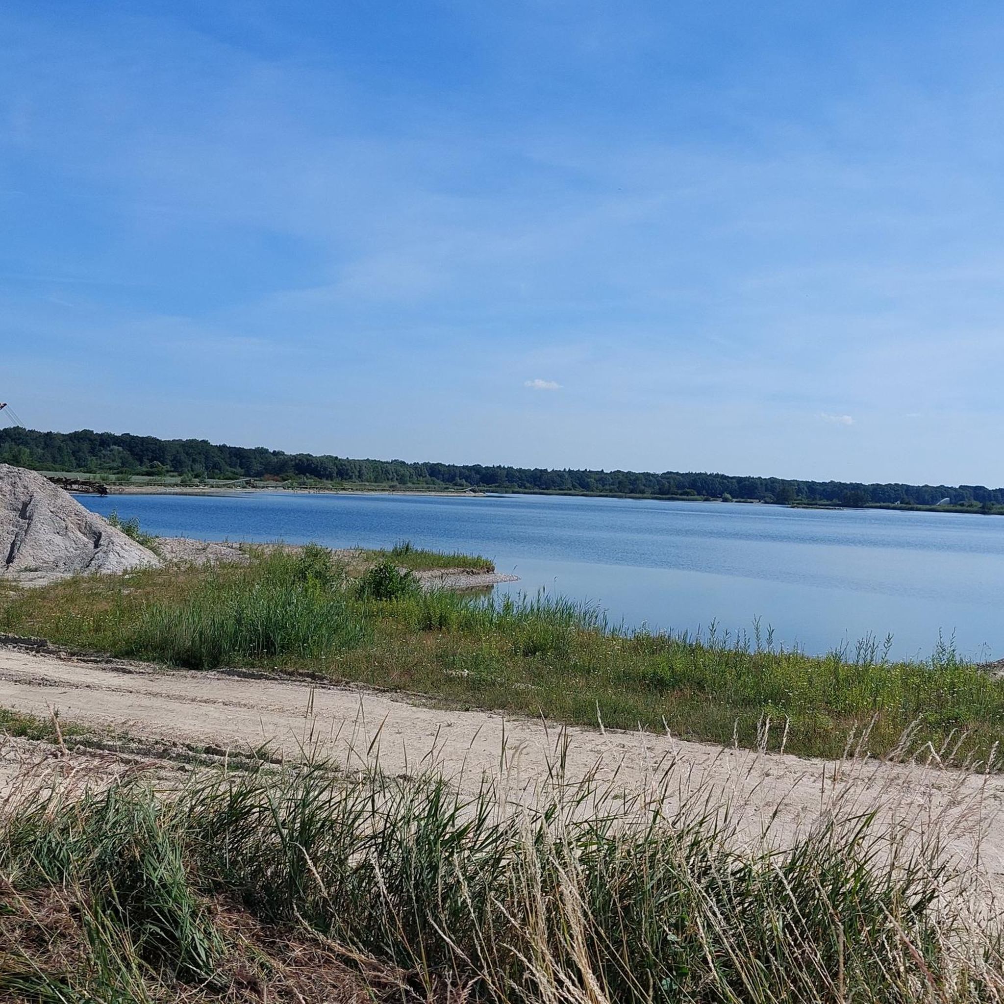
Jogging in Kampfmittelgefahrengebiet Brucker Forst offers diverse running routes through varied landscapes. The region, a former military area undergoing conversion into a nature reserve, features forests, meadows, and potential for wildlife observation. Trails often range from relatively flat to gently inclined, providing a stimulating environment for runners. This transformation allows public access to areas previously restricted, enhancing the natural experience.
Best jogging routes in Kampfmittelgefahrengebiet Brucker Forst
- The most popular jogging route is Snow-Covered Forest Path – Avenue loop from Maxweiler, a 5.4 miles (8.8 km) trail that takes 54 minutes to complete. This route offers a scenic path through the forest.
- Another top favourite among local runners is Running loop from Maxweiler, a moderate 3.8 miles (6.2 km) path. This trail winds through natural areas, providing a peaceful running experience.
- Local runners also love the Avenue Along the Forest Edge – Avenue to Grünau Hunting Lodge loop from Maxweiler, a 6.2 miles (10.0 km) trail leading through varied landscapes, often completed in about 1 hour 3 minutes.
- Jogging in Kampfmittelgefahrengebiet Brucker Forst is defined by varied landscapes, forests, and tranquil natural areas. The network offers options for different ability levels, from easy paths to more challenging routes.
- The routes in Kampfmittelgefahrengebiet Brucker Forst are highly rated by the komoot community with an average score of 4.4 stars from more than 200 reviews. More than 5000 runners have used komoot to explore Kampfmittelgefahrengebiet Brucker Forst's varied terrain.
Last updated: July 11, 2026
4
runners
8.83km
00:55
10m
10m
Moderate run. Good fitness required. Mostly paved surfaces. Suitable for all skill levels.
6
runners
6.19km
00:39
10m
10m
Moderate run. Good fitness required. Mostly paved surfaces. Suitable for all skill levels.

Sign up for free
21
runners
Moderate run. Good fitness required. Mostly paved surfaces. Suitable for all skill levels.
4.0
(1)
20
runners
8.40km
00:52
10m
10m
Moderate run. Good fitness required. Mostly paved surfaces. Suitable for all skill levels.
11
runners
8.13km
00:53
10m
10m
Moderate run. Good fitness required. Mostly paved surfaces. Suitable for all skill levels.
Get access to more routes and recommendations from other explorers.
Sign up for free
Already have an account?
Our route recommendations are based on thousands of hikes, rides, and runs completed by other people on komoot.
Start today with a free account
Your next adventure awaits.
Login or Signup
Popular around Kampfmittelgefahrengebiet Brucker Forst
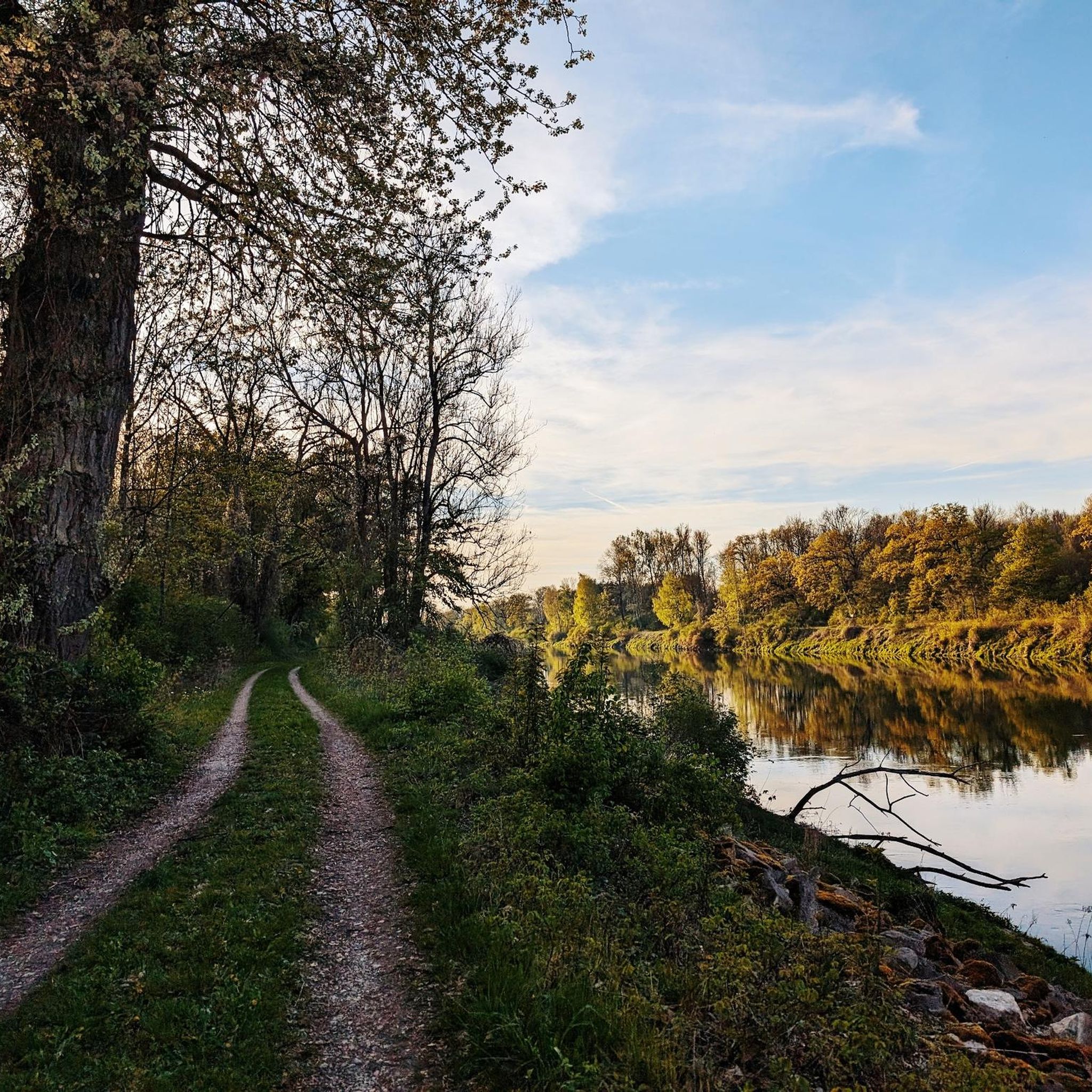
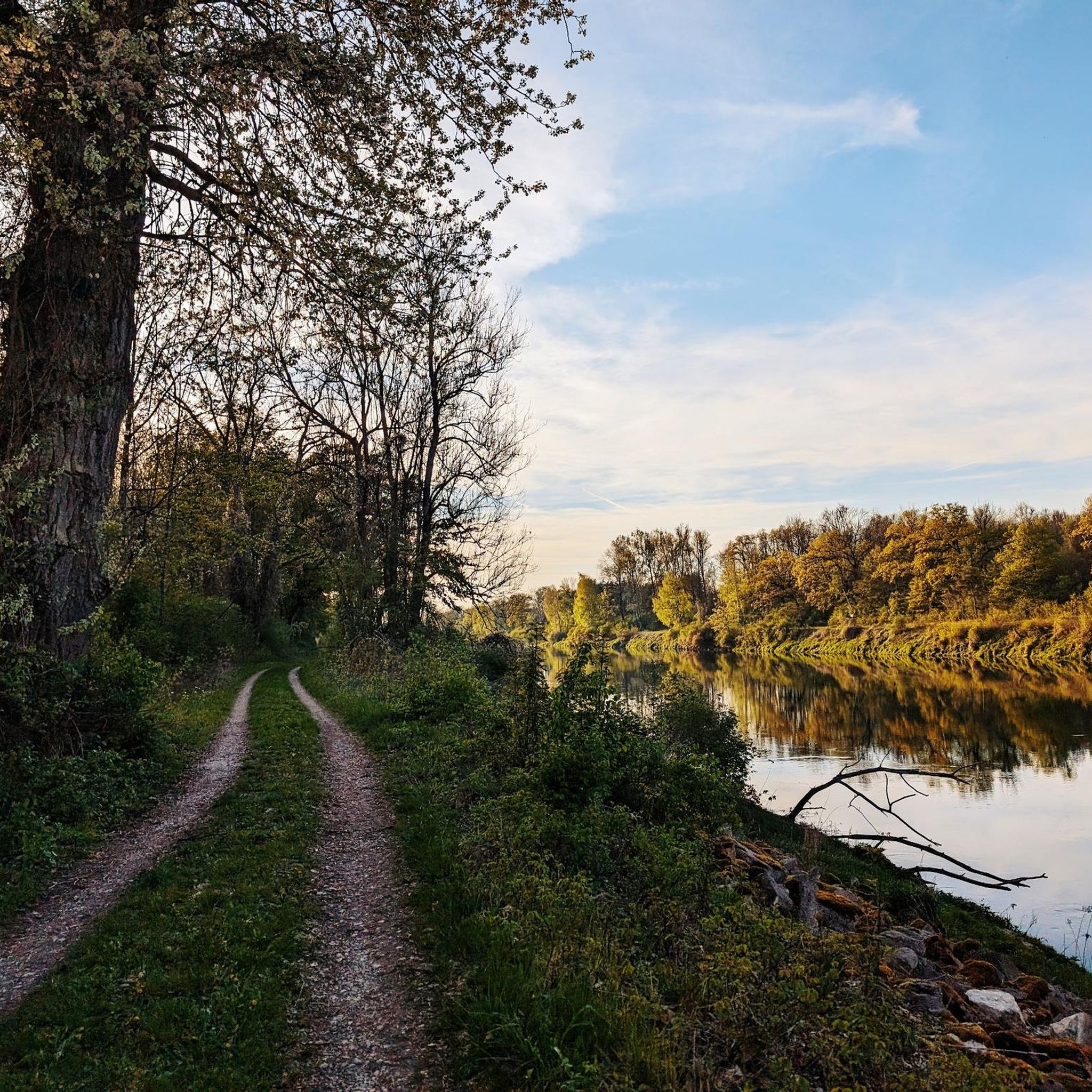
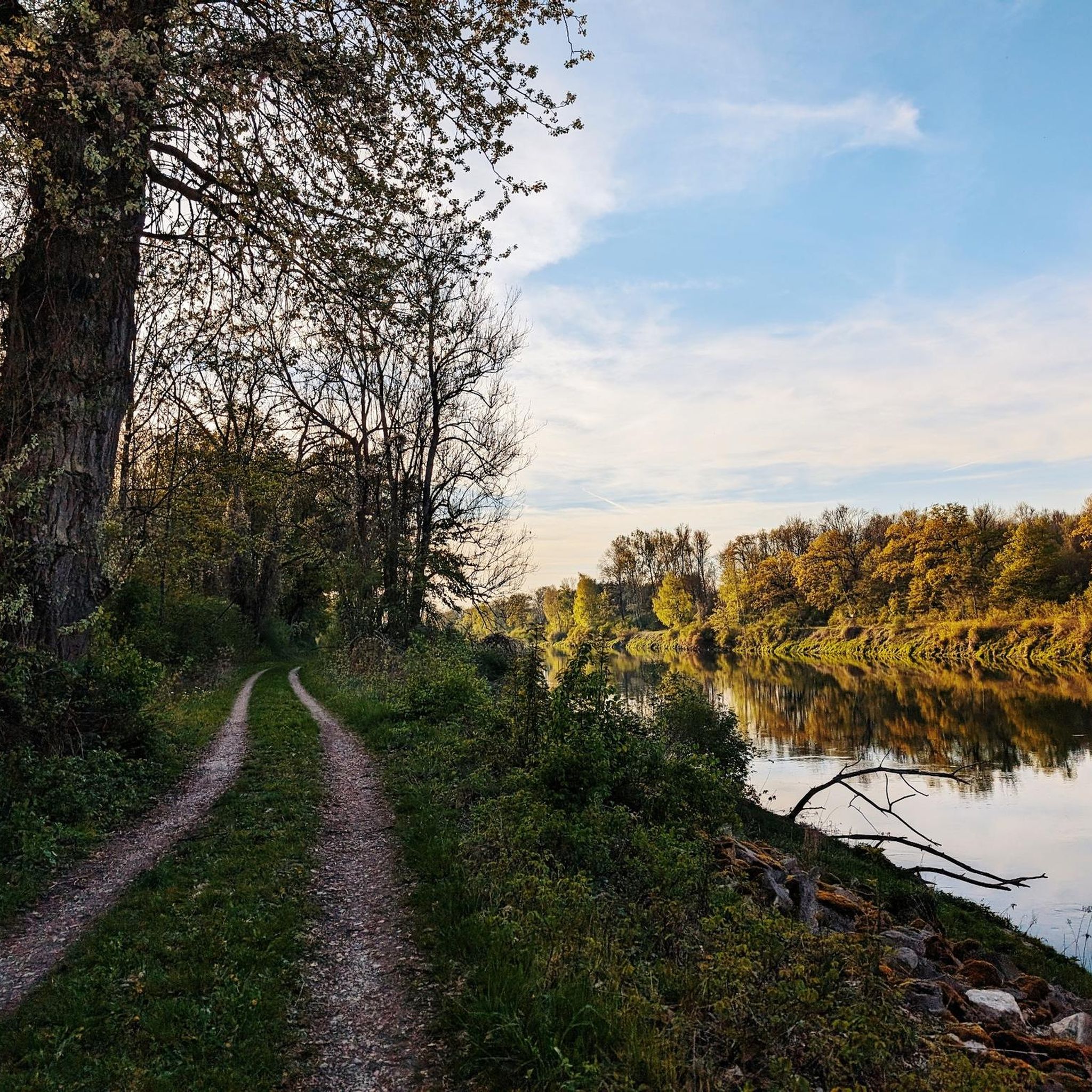
Tips from the Community

Yes, here a view in all directions is a pleasure
0
0

Very nice cycle path
2
0


Here the cycle path leads through many avenues. The surface is mostly gravel.
1
0

Beautiful avenue the way
1
0
Frequently Asked Questions
How many running routes are available in Kampfmittelgefahrengebiet Brucker Forst?
There are over 330 running routes available in Kampfmittelgefahrengebiet Brucker Forst. These trails offer a wide range of options for joggers of all abilities.
Are there running trails for all skill levels in Kampfmittelgefahrengebiet Brucker Forst?
Yes, the area caters to various fitness levels. You'll find approximately 59 easy routes, 241 moderate routes, and 30 more challenging trails, ensuring options for beginners and experienced runners alike.
What kind of terrain can I expect on the jogging routes in Kampfmittelgefahrengebiet Brucker Forst?
The routes offer diverse terrain, ranging from relatively flat paths to gently inclined sections. As a former military area undergoing conversion into a nature reserve, you'll jog through forests, meadows, and natural areas, providing a stimulating and varied environment.
Is Kampfmittelgefahrengebiet Brucker Forst safe for jogging, given its history as a former military area?
The area is undergoing conversion into a nature reserve, with public access to designated trails. While it was historically a military area, the trails listed on komoot are generally considered safe for public use. Always stick to marked paths and observe any local signage for your safety.
Are there any circular running routes in Kampfmittelgefahrengebiet Brucker Forst?
Yes, many of the running routes in the region are circular, allowing you to start and finish at the same point. An example is the Avenue to Grünau Hunting Lodge – Grünau Castle loop from Rohrenfeld, which is a moderate 8.4 km trail.
What do other runners enjoy most about jogging in Kampfmittelgefahrengebiet Brucker Forst?
The area is highly rated by the komoot community, with an average score of 4.4 stars from over 200 reviews. Runners often praise the tranquil natural environment, the varied landscapes, and the opportunity for wildlife observation, making for a peaceful and immersive experience.
Can I bring my dog on the running trails in Kampfmittelgefahrengebiet Brucker Forst?
Generally, many natural areas in Germany allow dogs on trails, often requiring them to be on a leash. While specific rules for Kampfmittelgefahrengebiet Brucker Forst may vary, the presence of diverse natural landscapes suggests it can be a dog-friendly area. Always check local signage for specific regulations regarding pets.
Are there any scenic viewpoints or natural features to look out for while running?
Yes, the region offers opportunities to observe local flora and fauna due to its rewilding efforts. Some routes in the broader area also feature a notable 'Blick auf die Donau' (View of the Danube), providing scenic vistas that can enhance your running experience.
What is a good running route for someone looking for a peaceful experience?
For a peaceful running experience, consider the Running loop from Maxweiler. This moderate 6.2 km path winds through natural areas, offering a quiet environment away from urban noise.
Are there options for parking or public transport access to the running routes?
While specific parking and public transport details for every trailhead are not provided here, the existence of established trail networks suggests accessibility. Many routes, like those starting from Maxweiler, often have nearby parking options. It's advisable to check the individual route details on komoot for specific access information.
What is a good route for a longer run in the area?
For a longer run, the Avenue Along the Forest Edge – Avenue to Grünau Hunting Lodge loop from Maxweiler is an excellent choice. This 10.0 km trail leads through varied landscapes and typically takes about 1 hour 3 minutes to complete.
Is the area suitable for family-friendly running or walks?
The diverse range of trails, including easy and moderate options, makes Kampfmittelgefahrengebiet Brucker Forst suitable for families. The natural setting and varied landscapes provide an engaging environment for children and adults alike, though always check the specific route's difficulty and length to match your family's capabilities.
Most popular routes in Kampfmittelgefahrengebiet Brucker Forst

Get inspired with the komoot mobile app


Explore more
Browse the best Running Trails & Routes in other regions.
