Kampfmittelgefahrengebiet Brucker Forst
Kampfmittelgefahrengebiet Brucker Forst
The best MTB trails in Kampfmittelgefahrengebiet Brucker Forst
4.7
(592)
2,014
riders
181
rides
Mountain biking in Kampfmittelgefahrengebiet Brucker Forst presents unique safety considerations due to its designation as an unexploded ordnance hazard area. Recreational use is severely restricted to officially cleared and well-marked paths, if any exist. The presence of unexploded ordnance poses a serious threat, and caution is paramount for any outdoor activity in this region.
Best mountain bike trails in Kampfmittelgefahrengebiet Brucker Forst
- The most popular mountain bike trail is Bittenbrunn Weir – NEUBURG loop from Rohrenfeld, a 22.5 miles…
Last updated: July 5, 2026
3.8
(6)
14
riders
36.2km
02:32
240m
240m
Hard mountain bike ride. Good fitness required. Advanced riding skills necessary. Some portions of the route may require you to push your bike.
5.0
(2)
14
riders
40.9km
02:55
310m
310m
Hard mountain bike ride. Good fitness required. Advanced riding skills necessary. Some portions of the route may require you to push your bike.

Sign up for free
5.0
(1)
9
riders
25.6km
01:25
90m
90m
Easy mountain bike ride. Great for any fitness level. Suitable for all skill levels.
5.0
(4)
7
riders
39.8km
02:48
320m
320m
Moderate mountain bike ride. Good fitness required. Advanced riding skills necessary.
5.0
(2)
4
riders
57.0km
03:50
550m
550m
Moderate mountain bike ride. Good fitness required. Suitable for all skill levels.
Get access to more routes and recommendations from other explorers.
Sign up for free
Already have an account?
Our route recommendations are based on thousands of hikes, rides, and runs completed by other people on komoot.
Start today with a free account
Your next adventure awaits.
Login or Signup
Popular around Kampfmittelgefahrengebiet Brucker Forst
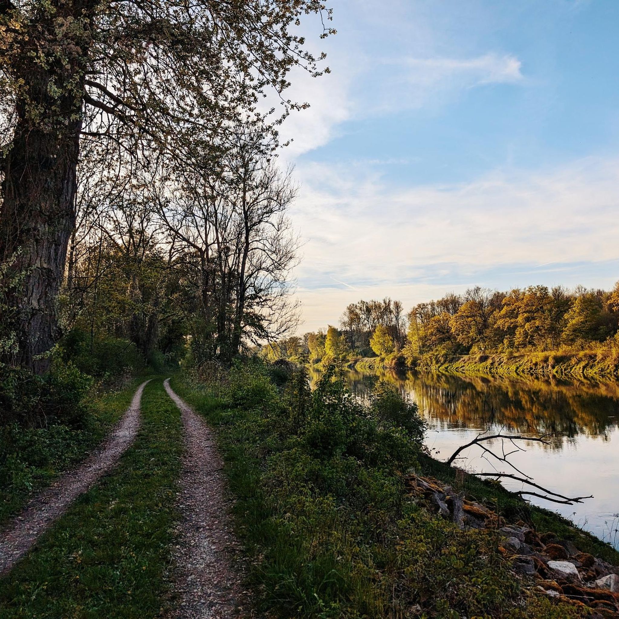
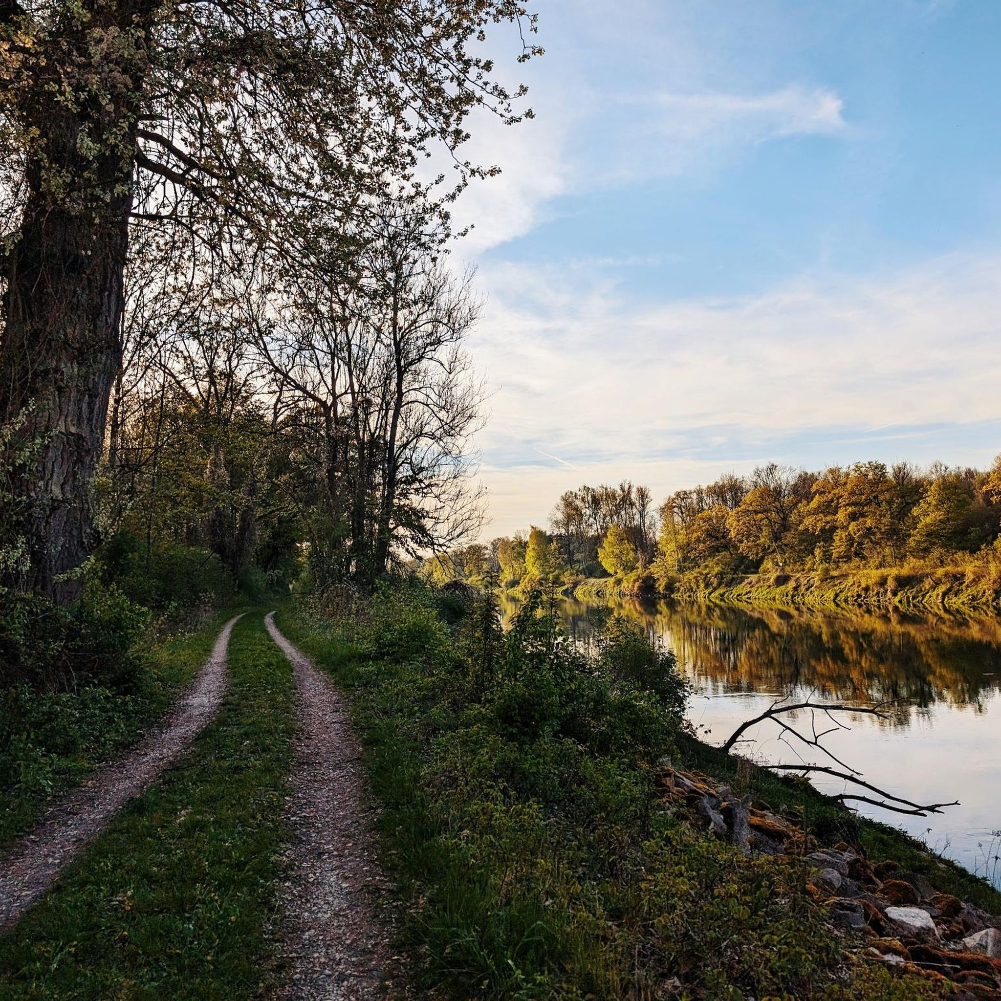
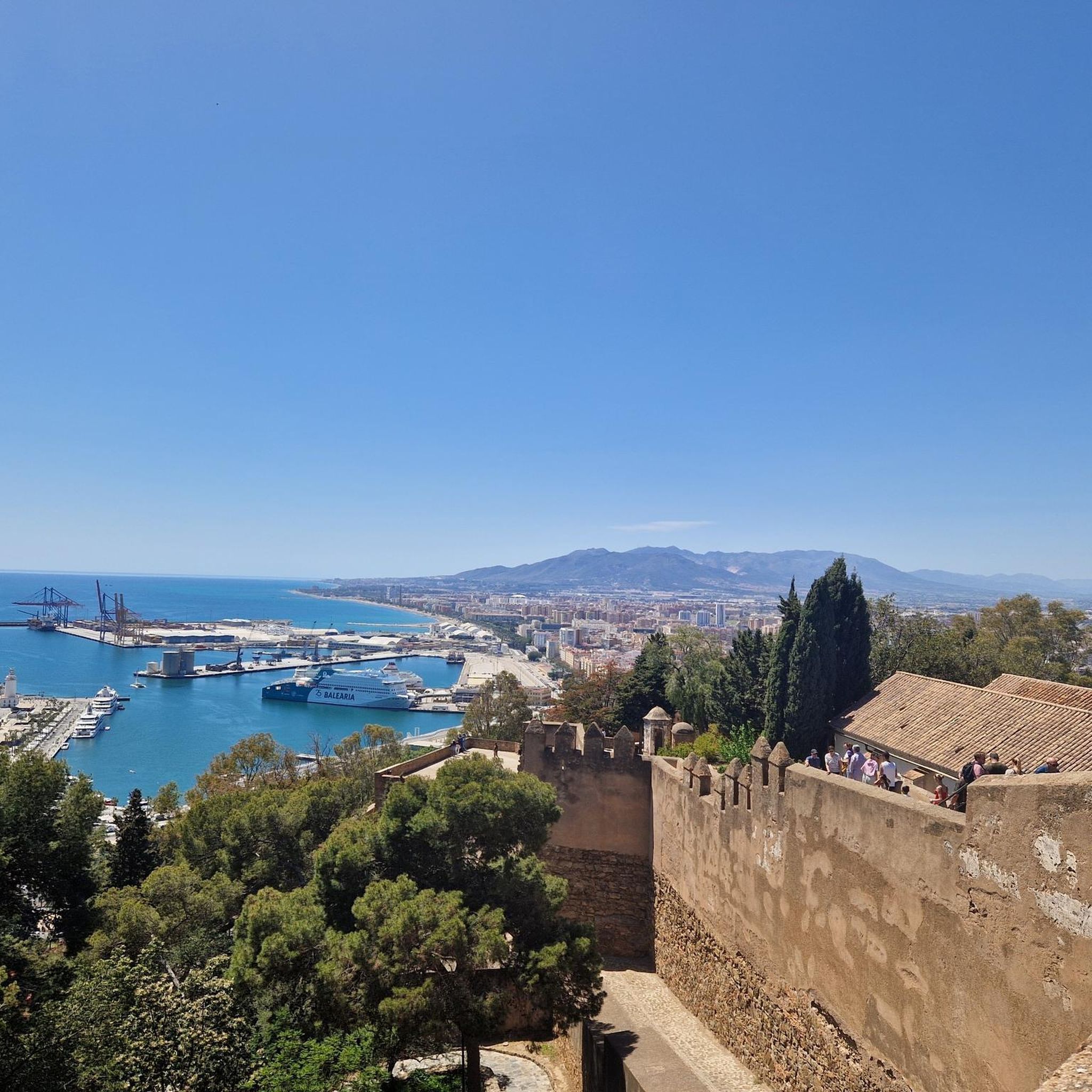
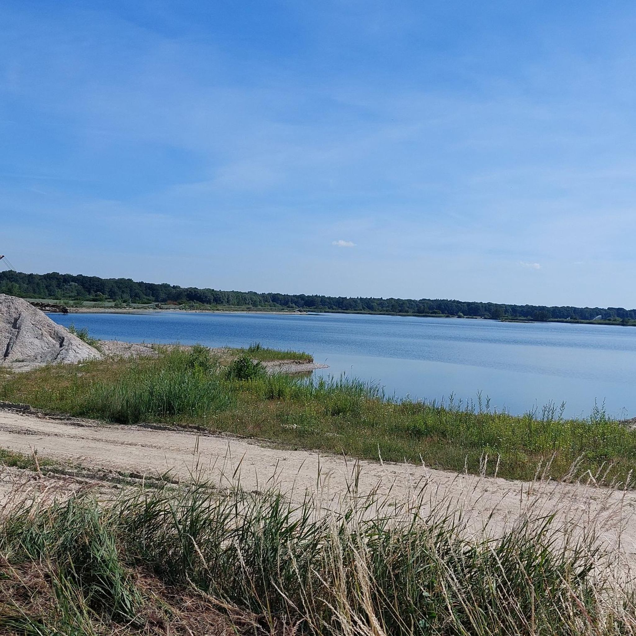
Tips from the Community

NEUBURG PLACE SIGN next to the mega photo point of Neuburg
2
0

St. Peter's is a historically significant Baroque church in the heart of Neuburg. Reconstructed after its collapse in 1641, it blends harmoniously with the townscape. Inside, the gilded high altar, pulpit, and intricately crafted marble paneling, created in the mid-18th century, are impressive. The organ, built by Maximilian Offner in 1988, complements the Baroque ambience. It is a tranquil place with cultural substance and regional significance.
7
0
Anyone in Neuburg an der Donau who doesn't visit the library is missing out. Access is only possible via a guided tour. The visit is well worth it.
7
0

It's a bit difficult to get to this rock by bike, but it's worth seeing; this rock is really impressive in the middle of the forest.
0
0


Figure
0
0
Frequently Asked Questions
Is mountain biking safe in Kampfmittelgefahrengebiet Brucker Forst?
Kampfmittelgefahrengebiet Brucker Forst is designated as an unexploded ordnance hazard area. This means there is a serious and potentially lethal threat from unexploded ordnance (UXO). Recreational use is severely restricted to specific, officially cleared, and well-marked paths, if any exist. It is paramount to stay on designated paths and be aware of the potential hazard. Authorities strongly advise against straying from officially cleared recreational areas.
Are there any officially designated mountain bike trails in Kampfmittelgefahrengebiet Brucker Forst?
Due to the unexploded ordnance hazard, recreational use in Kampfmittelgefahrengebiet Brucker Forst is severely restricted. Any mountain biking should only occur on specific, officially cleared, and well-marked paths, if such paths are explicitly designated and declared safe by authorities. Information regarding specific notable landscapes or attractions within this UXO-designated area that are safely and officially accessible for recreation is not readily available.
What types of mountain bike trails are available in the region?
Within the constraints of safety and designated paths, the wider region offers a variety of mountain bike trails. You can find routes ranging from easy to difficult. For example, an easy option is the Irgertsheimer Lake – Neuburg Palace and Museum loop from Rohrenfeld, which is 15.7 miles (25.3 km) long with minimal elevation gain. For a more challenging ride, consider the difficult Bittenbrunn Weir – NEUBURG loop from Rohrenfeld, covering 22.5 miles (36.2 km) with varied terrain.
How many mountain bike routes are there in the Kampfmittelgefahrengebiet Brucker Forst area?
There are over 190 mountain bike routes available in the broader Kampfmittelgefahrengebiet Brucker Forst area on komoot. These include approximately 67 easy routes, 104 moderate routes, and 23 difficult routes, all within the context of the region's safety considerations.
Are there any loop trails for mountain biking?
Yes, there are several loop trails available for mountain biking in the area. An example is the moderate Nassenfels Castle – Hoher Stein loop from Rohrenfeld, which is 24.7 miles (39.7 km) long and takes about 2 hours 47 minutes to complete. Another option is the difficult NEUBURG – Old Cemetery of Kreut loop from Rohrenfeld, spanning 24.9 miles (40.1 km).
What do other mountain bikers say about the trails in this region?
The routes in the Kampfmittelgefahrengebiet Brucker Forst area are highly rated by the komoot community, with an average score of 4.6 stars from over 590 reviews. More than 2000 mountain bikers have used komoot to explore the varied terrain, often praising the specific, officially cleared paths that allow for safe riding within the region's unique conditions.
Are there any family-friendly mountain bike routes?
Given the safety considerations of the Kampfmittelgefahrengebiet Brucker Forst, any family-friendly routes would need to be explicitly designated as safe and cleared. If you are looking for less strenuous options, there are easy routes available, such as the Irgertsheimer Lake – Neuburg Palace and Museum loop from Rohrenfeld, which is generally flat and suitable for less experienced riders, provided it is on a cleared path.
Where can I find parking for mountain biking in the area?
Specific parking information for officially cleared mountain bike paths within Kampfmittelgefahrengebiet Brucker Forst is not readily available. It is advisable to check the starting points of individual routes on komoot for details on nearby parking facilities. Always ensure you are parking in designated areas and accessing only officially sanctioned recreational zones.
Are there any scenic viewpoints or attractions along the mountain bike trails?
The primary concern in Kampfmittelgefahrengebiet Brucker Forst is safety due to unexploded ordnance. Information regarding specific notable landscapes, attractions, or natural features within this *specific* UXO-designated area that are safely and officially accessible for recreation is not readily available. Any recreational use would be severely restricted to specific, officially cleared, and well-marked paths.
What is the longest mountain bike route available?
One of the longer routes in the area is the moderate Schutter Mill – NEUBURG loop from Rohrenfeld, which spans 35.3 miles (56.8 km) and typically takes around 3 hours 49 minutes to complete. This route offers a substantial ride for those looking for a longer excursion on designated paths.
What should I do if I encounter suspected unexploded ordnance?
If you encounter any suspected unexploded ordnance (UXO) while in the area, the recommended safety protocol is to 'Recognize, Retreat, and Report.' Do not touch or disturb the object. Immediately retreat from the area and report your finding to the local authorities.
Are there better alternatives for mountain biking near Kampfmittelgefahrengebiet Brucker Forst that are explicitly safe?
Given the inherent dangers associated with unexploded ordnance in Kampfmittelgefahrengebiet Brucker Forst, it is highly advisable to seek out officially sanctioned recreational areas that are explicitly declared safe from UXO. Look for nearby regions or designated bike parks that do not carry this specific hazard for a safer and more unrestricted mountain biking experience.
Most popular routes in Kampfmittelgefahrengebiet Brucker Forst

Get inspired with the komoot mobile app


Explore more
Browse the best MTB trails in other regions.
