The best cycling routes in Vokės Senslėnio Šlaitų Geomorfologinis Draustinis
4.6
(866)
9,533
riders
152
rides
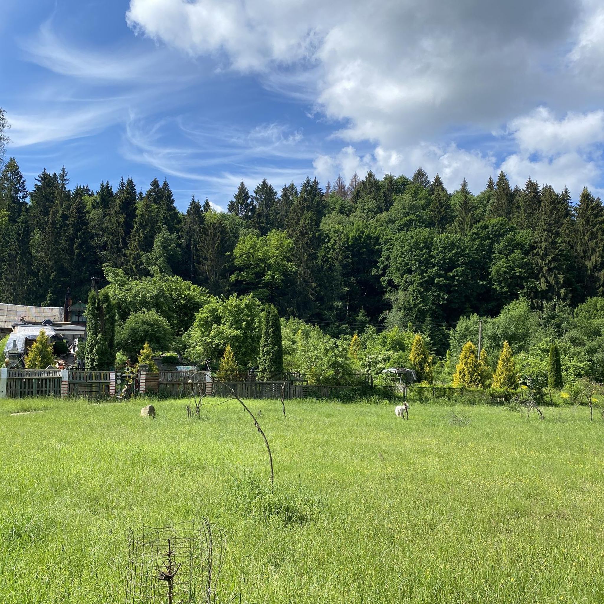
Touring cycling in Vokės Senslėnio Šlaitų Geomorfologinis Draustinis explores a geomorphological reserve characterized by a wide ancient valley and prominent erosional forms. The terrain features a complex and dynamic relief with deep ravines, providing a hilly and undulating landscape for cyclists. Broadleaf forests, including old linden trees and centuries-old oaks, are present along the routes. This area, located in the southwestern part of Vilnius, Lithuania, offers varied cycling terrain.
Best touring cycling routes in Vokės Senslėnio Šlaitų Geomorfologinis Draustinis
- The…
Last updated: October 23, 2026
12
riders
80.8km
05:47
620m
620m
Hard bike ride. Very good fitness required. You may need to push your bike for some segments of this route.
9
riders
23.2km
01:28
210m
210m
Hard bike ride. Good fitness required. You may need to push your bike for some segments of this route.

5.0
(1)
5
riders
105km
06:31
720m
720m
Hard bike ride. Very good fitness required. Mostly paved surfaces. Suitable for all skill levels.
5.0
(2)
8
riders
16.1km
00:57
90m
90m
Easy bike ride. Great for any fitness level. Mostly paved surfaces. Suitable for all skill levels.
4.8
(85)
547
riders
Moderate bike ride. Good fitness required. Mostly paved surfaces. Suitable for all skill levels.
Get access to more routes and recommendations from other explorers.
Already have an account?
Our route recommendations are based on thousands of hikes, rides, and runs completed by other people on komoot.
Start today with a free account
Your next adventure awaits.
Popular around Vokės Senslėnio Šlaitų Geomorfologinis Draustinis
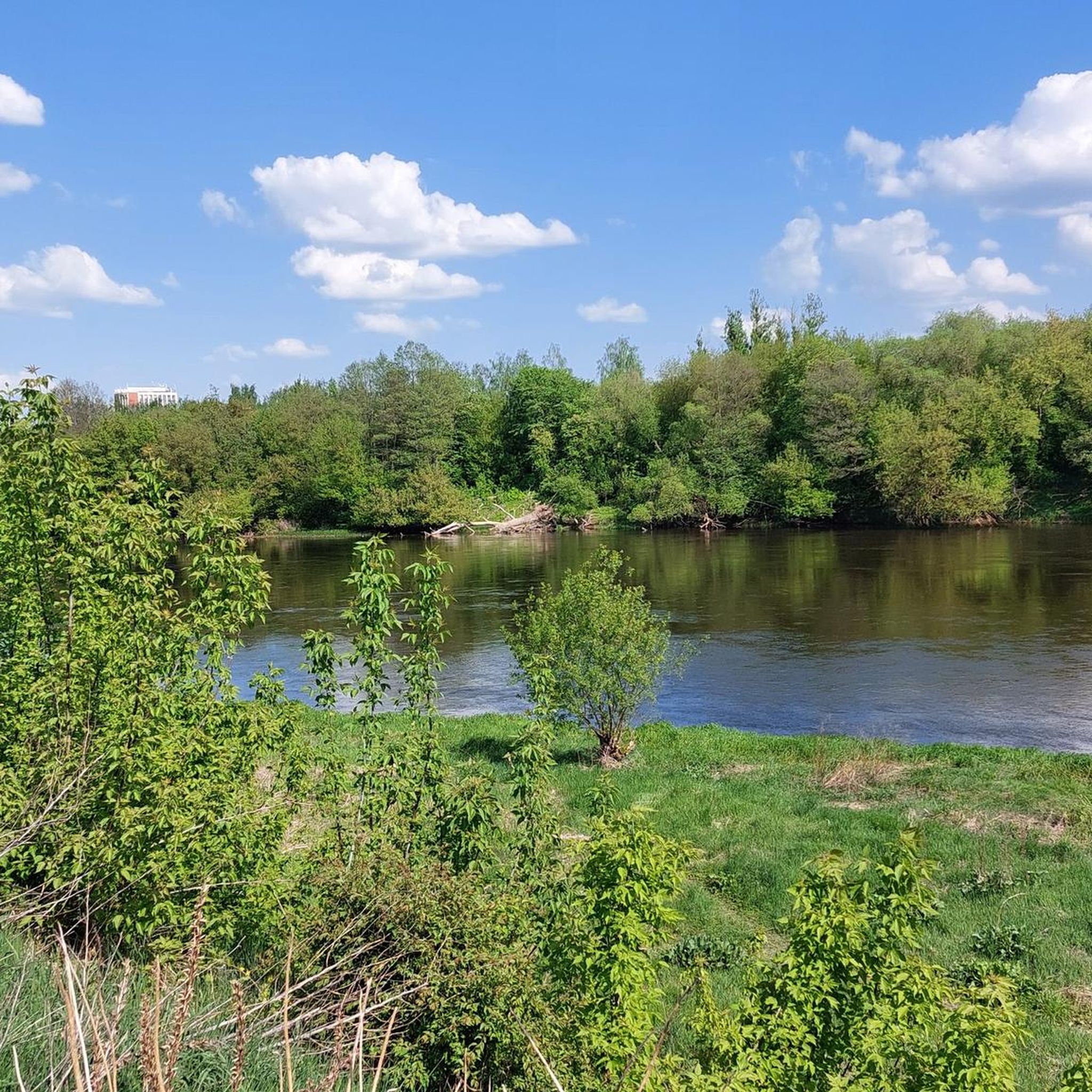
Road Cycling Routes in Vokės Senslėnio Šlaitų Geomorfologinis Draustinis
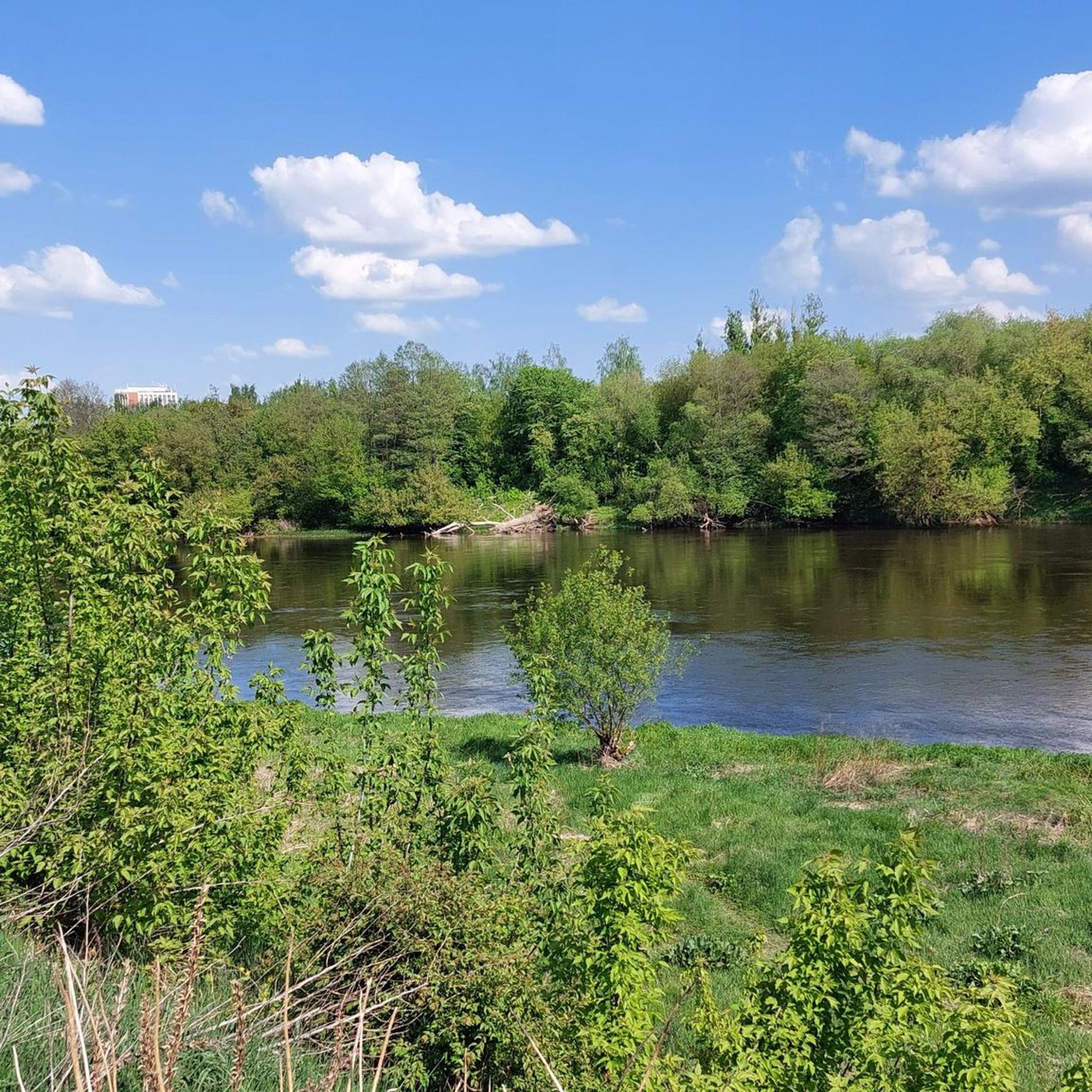
MTB Trails in Vokės Senslėnio Šlaitų Geomorfologinis Draustinis
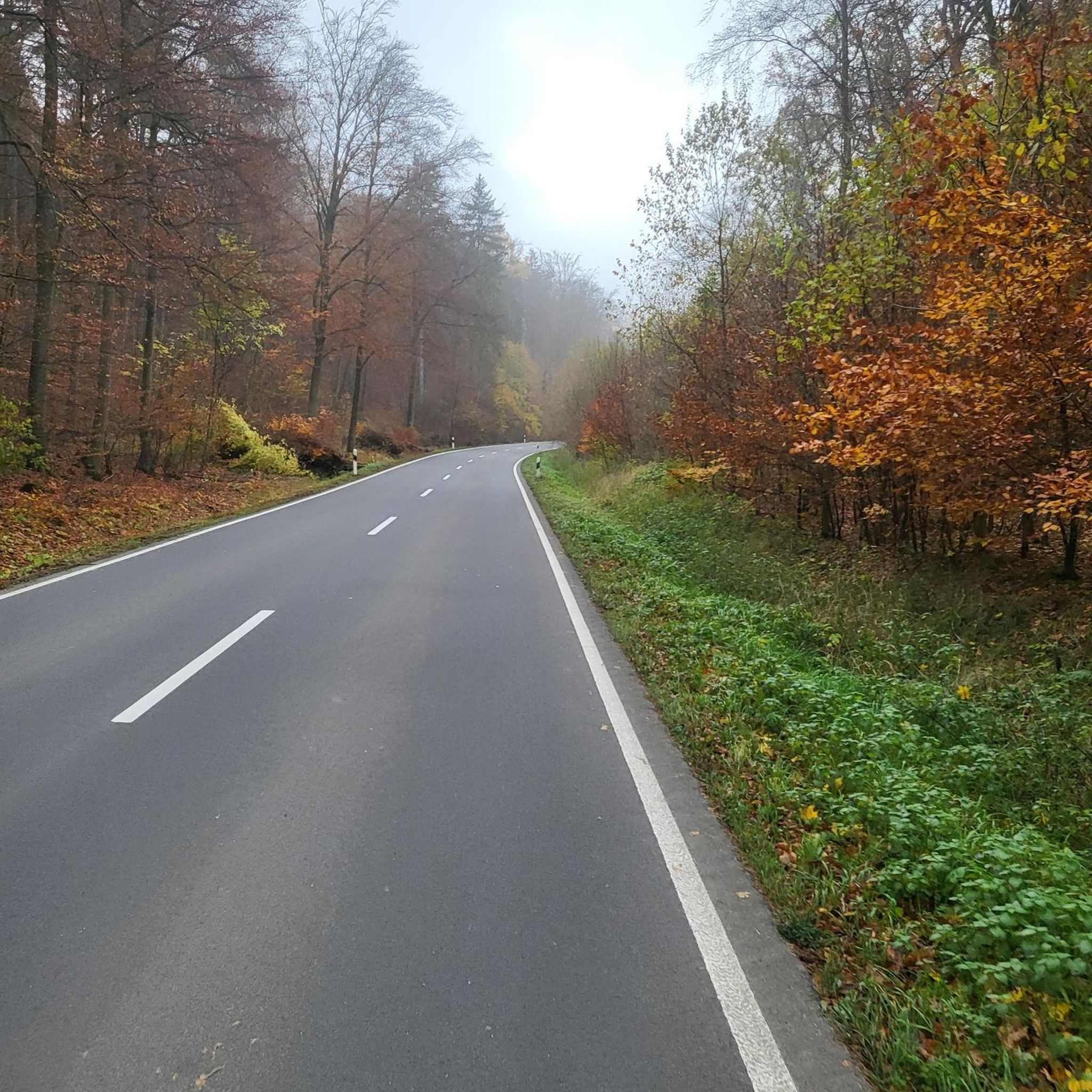
Gravel biking in Vokės Senslėnio Šlaitų Geomorfologinis Draustinis
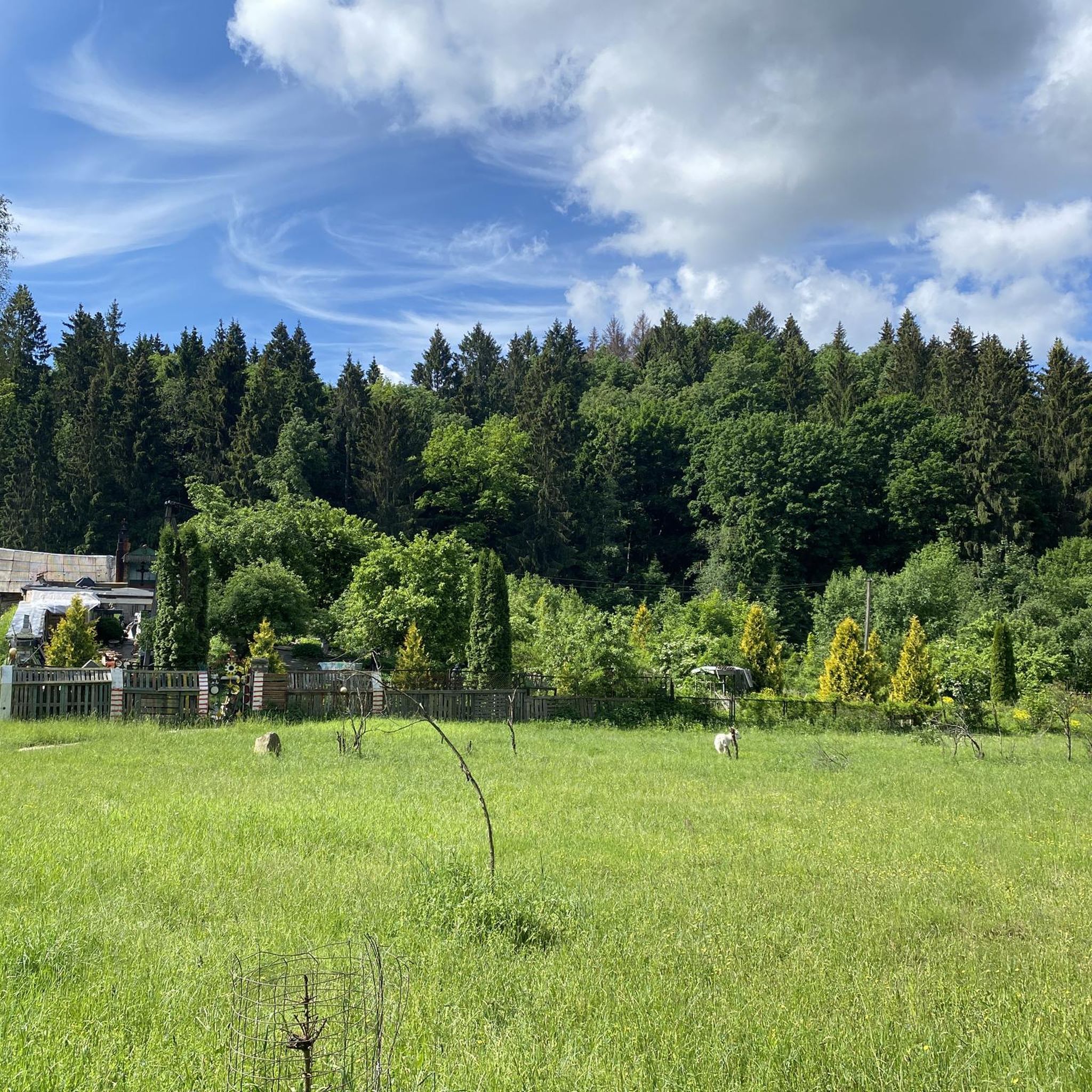
Hiking in Vokės Senslėnio Šlaitų Geomorfologinis Draustinis
Running Trails in Vokės Senslėnio Šlaitų Geomorfologinis Draustinis
Tips from the Community


A must when you are there
0
0

Vilnius Cathedral was built in 1779.
3
1


The Liepų alėja, an avenue of small lime trees that stretches between the park's event stage and the 7.5-hectare Vingio section of the Vilnius University Botanical Garden, is simply breathtaking. The avenue, which was declared a protected botanical natural heritage site in 1996, was created on the site of a former manor house. A summer spa house was built here in 1857 on the initiative of the military governor of Vilnius, V. Nazimov, and the large park created at that time still gives the place a special flair today. For cyclists and nature lovers alike, this location offers a perfect opportunity to experience Vilnius' urban culture in a relaxed and natural environment.
0
0

The Cathedral Basilica of St Stanislaus and St Ladislaus of Vilnius (EN) Cathedral of Vilnius (IT) Vilnius Archcathedral (LT) La cattedra metropolitana dei Santi Stanislao e Ladislao (in Lithuanian Vilnius St. Stanislaus and St. Vladislaus Archcathedral Basilica) is the principal place of culto cattolico di Vilnius, in Lithuania, and cattedrale dell'archidiocesi di Vilnius. taken from Wikipedia
1
1

The cycling path on the bridge is rather slippery in winner.
1
0
Frequently Asked Questions
What kind of terrain can I expect when touring cycling in Vokės Senslėnio Šlaitų Geomorfologinis Draustinis?
The reserve is characterized by a complex and dynamic relief, featuring a wide ancient valley of the Vokė River with prominent erosional forms and deep ravines. This creates a hilly and undulating landscape, offering a more engaging and physically demanding cycling experience compared to flat routes. You'll encounter ascents and descents throughout your ride.
Are there touring cycling routes suitable for different skill levels?
Yes, Vokės Senslėnio Šlaitų Geomorfologinis Draustinis offers a variety of routes. While the terrain is generally dynamic, you can find options ranging from easy to difficult. For instance, routes like Vingis Park Bridge – Vingis Park Amphitheater loop from Jankiškės offer a moderate challenge, while longer routes provide more demanding experiences.
What natural features or landmarks can I see along the touring cycling routes?
As you cycle through the reserve, you'll pass through fragments of broadleaf forests, including old linden trees and centuries-old oaks, which add to the scenic beauty. The Vokė River valley itself is a significant geomorphological feature. The reserve also protects habitats for species like the sword-leaved helleborine and birds such as the middle spotted woodpecker and green woodpecker.
Are there any longer, more challenging touring cycling routes available?
For those seeking a significant challenge, routes like Vingis Park Amphitheater – Žvėrynas Bridge loop from Paneriai are available. This particular route spans over 81 km and includes substantial elevation gain, making it a difficult and rewarding option for experienced touring cyclists.
What do other touring cyclists say about the routes in Vokės Senslėnio Šlaitų Geomorfologinis Draustinis?
The touring cycling routes in this region are highly rated by the komoot community, with an average score of 4.6 stars from over 700 reviews. Cyclists often praise the varied terrain and the natural beauty of the broadleaf forests and the Vokė River valley.
Can I find circular touring cycling routes in the reserve?
Yes, many of the touring cycling routes in Vokės Senslėnio Šlaitų Geomorfologinis Draustinis are designed as loops, allowing you to start and end at the same point. An example is the Balsys Lake Beach – Liubava Manor Buildings loop from Paneriai, which offers a challenging circular journey.
Is it possible to access the touring cycling routes using public transport?
While specific public transport connections directly to trailheads are not detailed, the reserve is located in the southwestern part of Vilnius, Lithuania. It is advisable to check local public transport schedules for routes that serve the general vicinity of the reserve's access points.
Are there parking facilities available for cyclists?
Information on dedicated parking facilities specifically for cyclists within the reserve is not readily available. Given its proximity to Vilnius, parking might be found in nearby residential areas or designated parking zones outside the immediate reserve boundaries. It's recommended to research specific starting points for parking options.
Are there any very long touring cycling routes for endurance riders?
For endurance riders, routes like Vingis Park Bridge – St. Anne's Church (Vilnius) loop from Paneriai offer a substantial distance of over 104 km with significant elevation gain, providing a full day's challenge through diverse landscapes.
What is the best time of year to go touring cycling in Vokės Senslėnio Šlaitų Geomorfologinis Draustinis?
The broadleaf forests and dynamic terrain are particularly enjoyable during spring and autumn when the foliage is vibrant and temperatures are milder. Summer offers warmer conditions, while winter cycling would depend on snow and ice conditions, potentially requiring specialized equipment.
Are there any moderate-difficulty touring cycling routes?
Yes, there are several moderate-difficulty routes. For example, the Merkys–Vokė Canal – Forty Tartars loop from Paneriai is a moderate 54.8 km route that provides a balanced challenge without the extreme elevation of the most difficult trails.
Are there any specific regulations or permits required for cycling in the geomorphological reserve?
As Vokės Senslėnio Šlaitų Geomorfologinis Draustinis is a geomorphological reserve established to safeguard its natural features, it's always advisable to respect local regulations. While specific cycling permits are not mentioned, staying on designated paths and respecting the natural environment, especially protected flora like the sword-leaved helleborine, is crucial.
Most popular routes in Vokės Senslėnio Šlaitų Geomorfologinis Draustinis

Get inspired with the komoot mobile app


Explore more
Browse the best Cycling routes in other regions.
