The best running trails in Ramstadslottet Naturreservat
4.3
(16)
2,211
runners
193
runs
Jogging in Ramstadslottet Naturreservat offers diverse terrain through ancient forests and a hilly landscape. Located northeast of Østmarka, this reserve features elevations ranging from 220 to 398 meters above sea level, including the prominent Ramstadslottet hill at 394 meters and Barlindåsen at 398 meters. The varied topography, with slopes, valleys, and ridges, provides engaging running routes for different fitness levels. The area is characterized by old-growth pine and spruce forests, offering a natural environment for outdoor pursuits.
Best jogging routes…
Last updated: July 1, 2026
16
runners
18.3km
02:03
140m
140m
Hard run. Very good fitness required. Mostly paved surfaces. Suitable for all skill levels.
5
runners
8.55km
00:56
160m
160m
Moderate run. Good fitness required. Mostly paved surfaces. Suitable for all skill levels.

Sign up for free
4
runners
6.49km
00:52
190m
190m
Moderate run. Good fitness required. Mostly accessible paths. Some sure footedness required.
4
runners
3.58km
00:28
80m
80m
Easy run. Great for any fitness level. Mostly paved surfaces. Suitable for all skill levels.
2
runners
12.9km
01:29
200m
200m
Moderate run. Good fitness required. Mostly paved surfaces. Suitable for all skill levels.
Get access to more routes and recommendations from other explorers.
Sign up for free
Already have an account?
Our route recommendations are based on thousands of hikes, rides, and runs completed by other people on komoot.
Start today with a free account
Your next adventure awaits.
Login or Signup

Tips from the Community

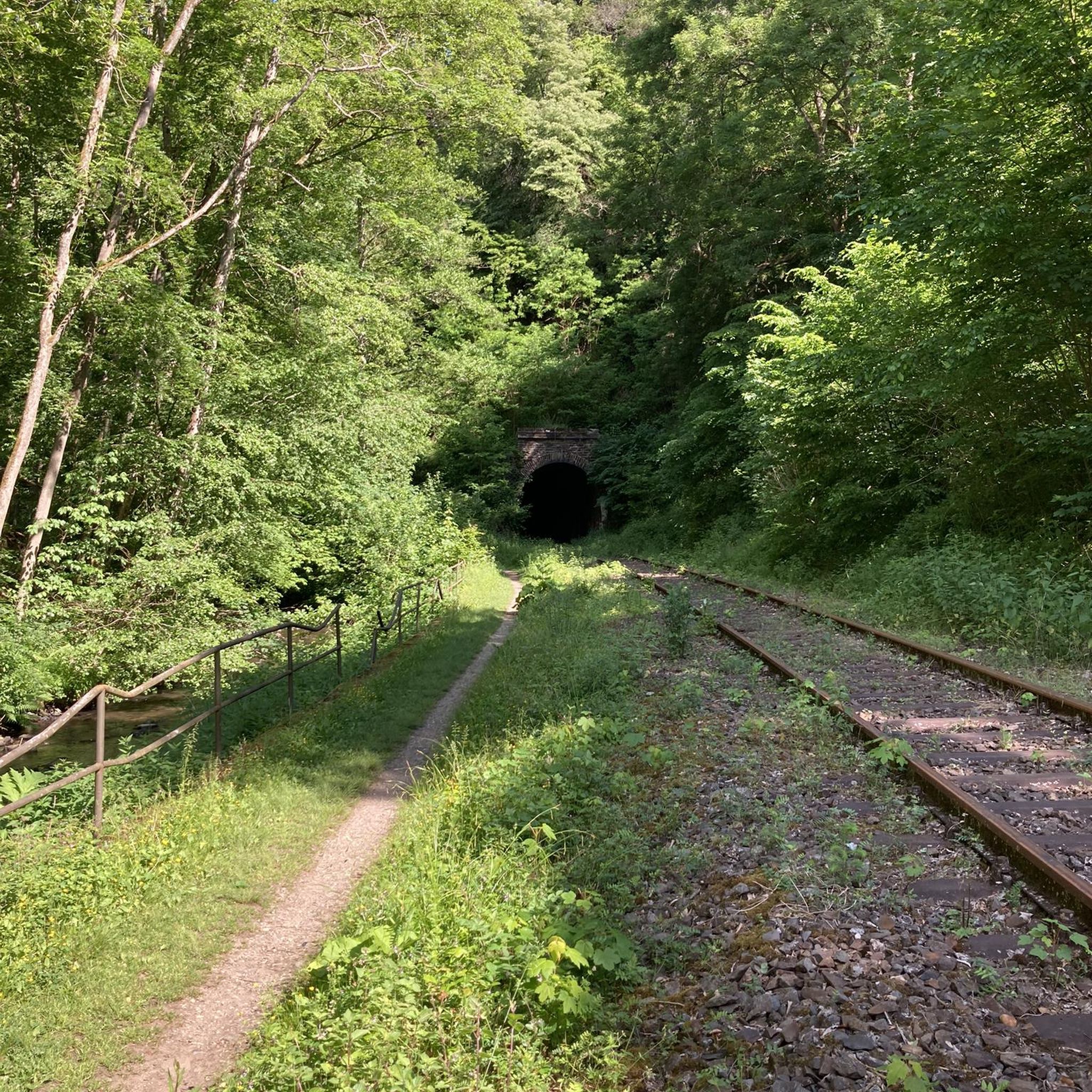
This lovely old stone bridge crosses a small river and adds a touch of history to the route.
0
0
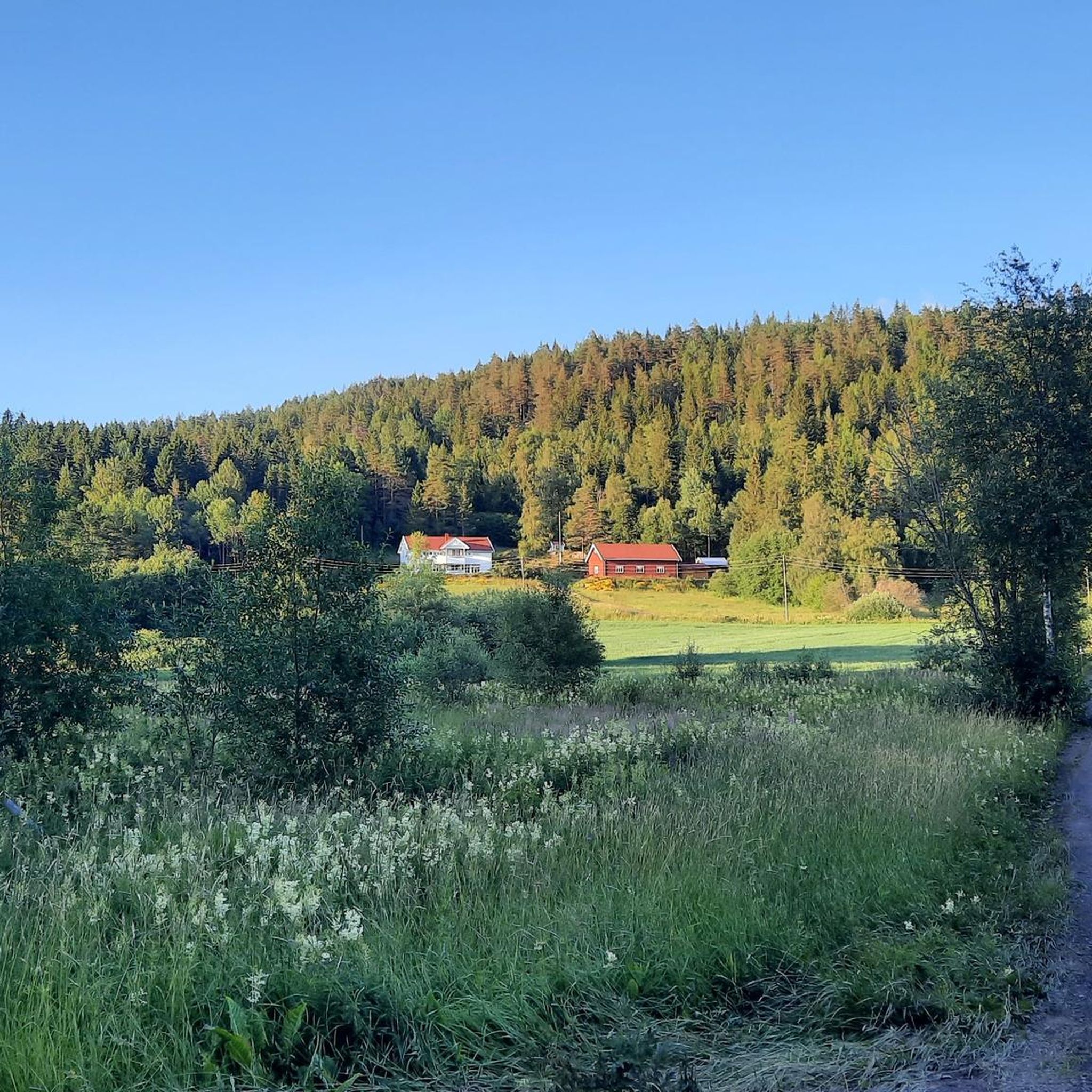
Enjoy a quieter stretch through the countryside with open fields and rural scenery.
0
0

These gorgeous woodland trails are just a short hop from the villages of Kurland and Blystadlia. From here, you can explore Åmotdammen with its designated swimming spots, or head uphill to the viewpoints at Bjønnåsen or Marikollen.
0
0
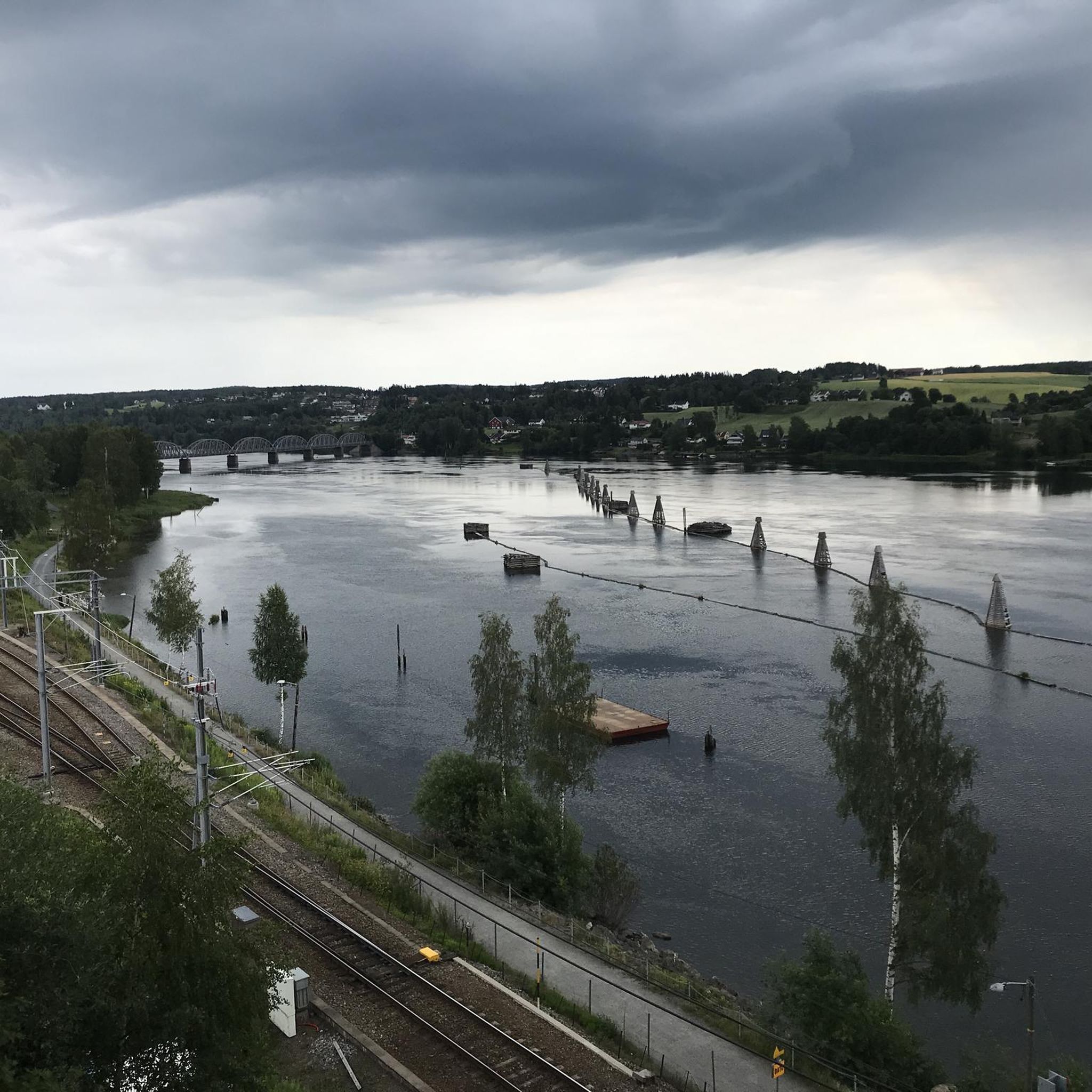
Popular with swimmers, Åmotdammen is a lovely lake to hike alongside. Named after the Åmot farms at the confluence of the Nitelva and Leira rivers, it provides a pleasant escape from the urban sprawl of Oslo. It's part of the wider Østmarka region, which is brimming with woodland trails.
0
0

At the small viewpoint in Bjonnasen, you’ll find a wide, sweeping view of rolling forests stretching all the way to the horizon. There’s also a map marker that will help you interpret the landscape.
0
0


Wonderful trip to the idyllic Losby farm. There is coffee and cake. It is also a great place for families.
1
0
Frequently Asked Questions
How many running routes are available in Ramstadslottet Naturreservat?
Ramstadslottet Naturreservat offers a wide selection of running routes, with over 200 trails to choose from. This includes 24 easy routes, 158 moderate routes, and 25 difficult routes, catering to various fitness levels and preferences.
What kind of terrain can I expect on the jogging routes in Ramstadslottet Naturreservat?
You can expect a diverse and engaging terrain. The reserve features a hilly landscape with elevations ranging from 220 to 398 meters above sea level. Routes navigate through ancient forests, including old-growth pine and spruce, with varied topography of slopes, valleys, and ridges. This dynamic environment makes for an interesting and challenging run.
Are there any easy or beginner-friendly running trails in the reserve?
Yes, Ramstadslottet Naturreservat has 24 easy running routes perfect for beginners or those seeking a less strenuous run. An example is the Running loop from Bredde, which is 3.6 km long and features a manageable elevation gain, making it a great option for a relaxed jog.
What are the best viewpoints along the running trails in Ramstadslottet Naturreservat?
The reserve offers several elevated points with potential views. The prominent Ramstadslottet hill itself, at 394 meters, provides some of the best panoramic views in the Oslo area. While Barlindåsen is the highest peak, its views can be limited by dense forest. Many routes, like the View from Bjønnåsen – Bjønnåsen loop from Strømmen stadion, traverse hilly terrain that can offer glimpses of the surrounding landscape.
Are there any circular running routes in Ramstadslottet Naturreservat?
Yes, many of the running trails in the reserve are designed as loops, offering a convenient way to explore without retracing your steps. For instance, the popular Running loop from Fjerdingby is a moderate 8.2 km circular path that provides a balanced experience through the reserve's well-maintained trails.
What do other runners enjoy most about jogging in Ramstadslottet Naturreservat?
The area is highly rated by the komoot community, with an average score of 4.6 stars from over 10 reviews. Runners often praise the genuine wilderness experience, the diverse and engaging terrain, and the well-maintained paths that make for excellent running conditions. The ancient forests and varied topography are frequently highlighted as key attractions.
Is Ramstadslottet Naturreservat suitable for family-friendly running or walks?
Yes, the reserve offers trails suitable for families. While some routes are challenging, the presence of 24 easy routes means there are options for shorter, less demanding runs or walks that can be enjoyed by families. The varied landscape and ancient forests provide an engaging natural environment for all ages.
Are dogs allowed on the running trails in Ramstadslottet Naturreservat?
Generally, dogs are permitted on trails in Norwegian nature reserves, but they must be kept on a leash, especially during certain times of the year to protect wildlife. It's always best to check local regulations or signage at the reserve's access points for specific rules regarding dogs.
Where can I park when visiting Ramstadslottet Naturreservat for a run?
The reserve is accessible from various points. Suggested access points include Marikollen skianlegg in Rælingen or Losby, which typically offer parking facilities. It's advisable to check specific starting points for routes on komoot for detailed parking information.
Can I reach Ramstadslottet Naturreservat by public transport for jogging?
While the reserve provides a wilderness experience, it is relatively accessible. Public transport options may vary depending on your starting location and the specific access point you wish to reach. It's recommended to check local bus schedules to nearby towns like Rælingen or Lørenskog and plan your route from there.
Are there any natural features or landmarks to look out for while running?
Absolutely. The reserve is known for its ancient forests, featuring pine trees estimated to be around 300 years old and some of the largest spruce trees in Eastern Norway. You'll also find Blåtjern Lake, which offers opportunities for swimming and fishing, adding another natural highlight to your run.
What is the longest running route available in the reserve?
One of the longer and more challenging routes is the Losby Farm Café – Nesåsen loop from Strømmen stadion. This difficult trail spans 18.7 km and typically takes over 2 hours to complete, navigating through the reserve's varied topography and ancient woodlands.
Most popular routes in Ramstadslottet Naturreservat

Get inspired with the komoot mobile app


Explore more
Browse the best Running Trails & Routes in other regions.
