The best cycling routes in Gaupesteinmarka Naturreservat
4.6
(35)
771
riders
56
rides
Touring cycling in Gaupesteinmarka Naturreservat offers routes through diverse landscapes, characterized by barren pine ridges and intersecting transverse fissure valleys. The terrain includes spruce forests, black alder swamp forests in humid sections, and several bogs. Elevations within the reserve range from approximately 130 to 300 meters above sea level, with Gaupesteinåsen reaching 266.9 meters.
Best touring cycling routes in Gaupesteinmarka Naturreservat
- The most popular touring cycling route is View of Lake Ulsrud – Hammer Bridge loop from Råkendalen, a…
Last updated: July 10, 2026
4.0
(3)
64
riders
85.2km
05:17
790m
790m
Hard bike ride. Very good fitness required. Mostly paved surfaces. Suitable for all skill levels.
10
riders
42.1km
03:17
490m
490m
Hard bike ride. Very good fitness required. You may need to push your bike for some segments of this route.

Sign up for free
8
riders
53.1km
03:18
550m
550m
Hard bike ride. Very good fitness required. Mostly paved surfaces. Suitable for all skill levels.
2
riders
51.2km
03:12
480m
480m
Hard bike ride. Very good fitness required. Mostly paved surfaces. Suitable for all skill levels.
5.0
(2)
10
riders
35.3km
02:19
340m
340m
Hard bike ride. Good fitness required. You may need to push your bike for some segments of this route.
Get access to more routes and recommendations from other explorers.
Sign up for free
Already have an account?
Our route recommendations are based on thousands of hikes, rides, and runs completed by other people on komoot.
Start today with a free account
Your next adventure awaits.
Login or Signup
Tips from the Community

This lovely old stone bridge crosses a small river and adds a touch of history to the route.
0
0
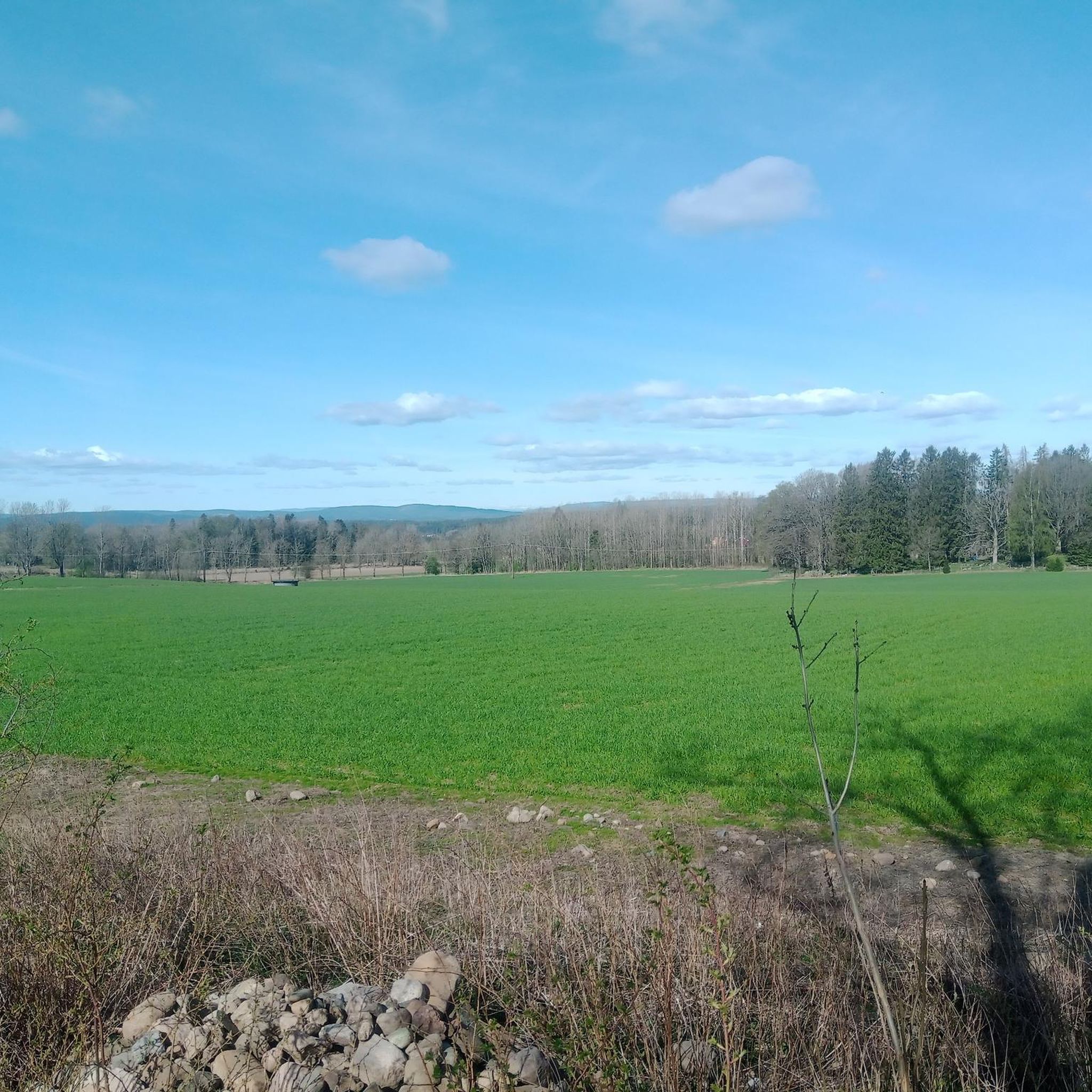
Enjoy a quieter stretch through the countryside with open fields and rural scenery.
0
0

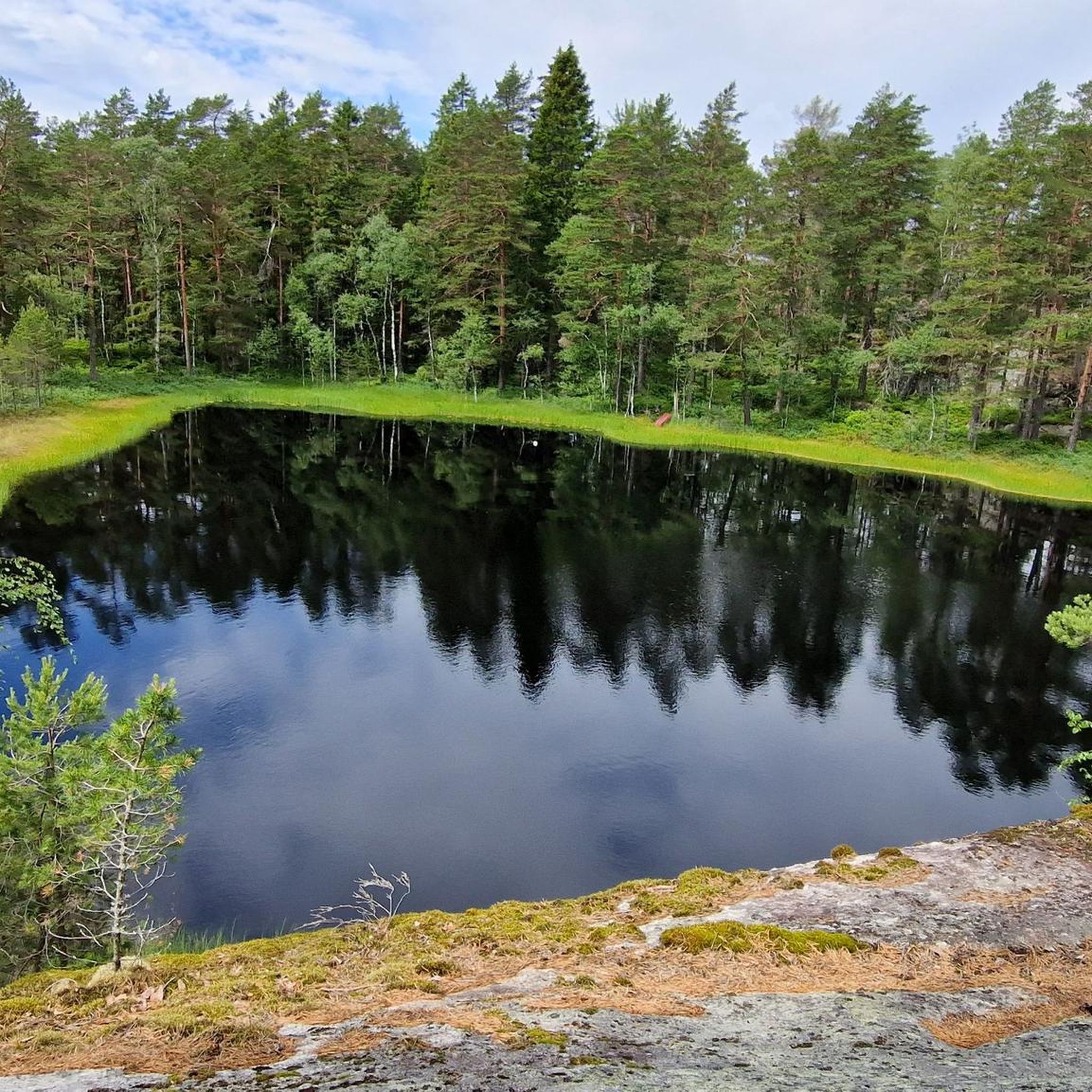
Setejern is one of the countless small bodies of water dotted throughout the region. A stroll along its shores is deeply relaxing.
0
0


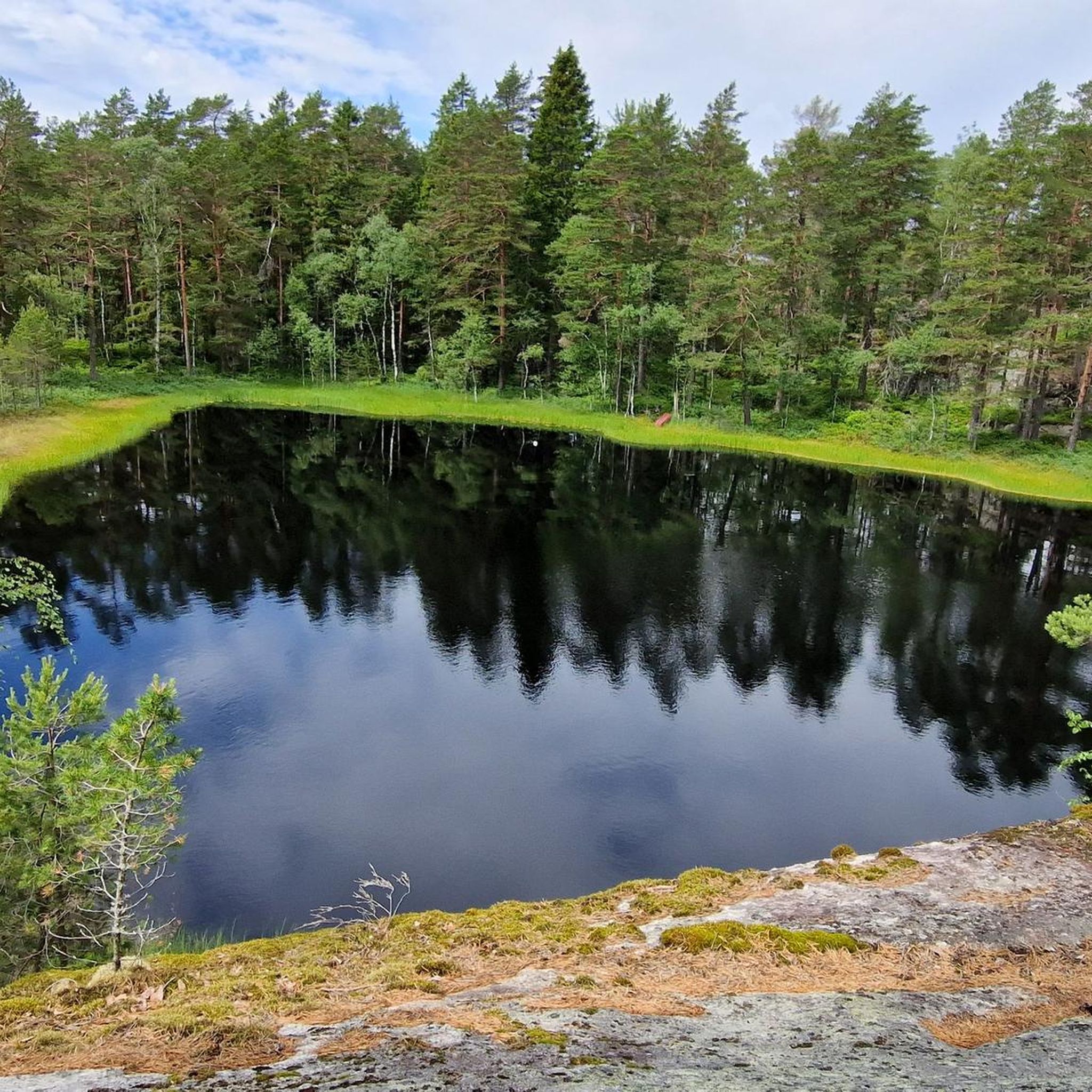
Nice view of the lake from the road. It's peaceful and picturesque, and the road is undulating and smooth. A very nice place to ride a bike.
0
0

Perfect bike road between Spydeberg and Lyseren.
0
0

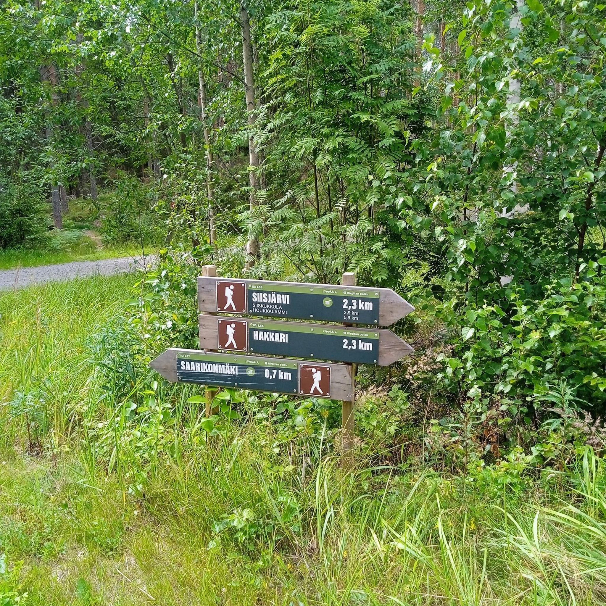
I don't know who suggested this stretch... komoot or did I choose it that way? If you want to travel here with your bike and luggage, you should have tires with good grip and steel calves for the 12% incline on the gravel path. Otherwise there is only sliding. Unfortunately I didn't have the air for a photo. 😁
1
0
Frequently Asked Questions
How many touring cycling routes are available in Gaupesteinmarka Naturreservat?
Gaupesteinmarka Naturreservat offers over 60 touring cycling routes. These routes vary in difficulty, providing options for different skill levels, from easy to difficult.
What is the general terrain like for touring cyclists in Gaupesteinmarka Naturreservat?
The terrain in Gaupesteinmarka Naturreservat is diverse, featuring barren pine ridges, intersecting transverse fissure valleys, and spruce forests. You'll also encounter black alder swamp forests in humid sections and several bogs. Elevations range from approximately 130 to 300 meters above sea level, with Gaupesteinåsen being the highest point.
What do other touring cyclists say about the routes in Gaupesteinmarka Naturreservat?
The touring cycling routes in Gaupesteinmarka Naturreservat are highly rated by the komoot community, with an average score of 4.6 stars from over 40 reviews. Many cyclists appreciate the varied terrain and the opportunity to explore the region's wild and beautiful nature.
Are there routes suitable for beginners or less experienced touring cyclists?
Yes, Gaupesteinmarka Naturreservat includes 6 easy touring cycling routes. These are ideal for those looking for a more relaxed ride or for beginners to the sport.
Are there any challenging routes for experienced touring cyclists?
Absolutely. For experienced touring cyclists seeking a challenge, there are 19 difficult routes available. An example is the View of Lake Ulsrud – Hammer Bridge loop from Råkendalen, which is 86.2 km long with significant elevation gain.
When is the best time of year to go touring cycling in Gaupesteinmarka Naturreservat?
The best time for touring cycling is generally from spring through autumn. While the reserve offers ski trails in winter, the warmer months provide optimal conditions for exploring the varied terrain on two wheels.
Are there family-friendly touring cycling options in the reserve?
While specific family-friendly cycling routes aren't explicitly highlighted, the presence of easy routes and marked hiking trails suitable for all fitness levels suggests that some paths, particularly those with less elevation, could be enjoyed by families. It's advisable to check individual route details for suitability.
Can I bring my dog on the touring cycling routes?
Gaupesteinmarka is a nature reserve, which often implies rules to protect wildlife. While the region research doesn't explicitly state rules for dogs on cycling trails, it's generally recommended to keep dogs on a leash in nature reserves to protect local wildlife, especially red-listed species known to inhabit the area. Always check local regulations before your visit.
Are there any circular touring cycling routes in Gaupesteinmarka Naturreservat?
Yes, many of the touring cycling routes in the reserve are designed as loops. For instance, the Forest Path in Østmarka – Sandbakken Lodge loop from Råkendalen is a popular circular route traversing forested areas.
What interesting landmarks or viewpoints can I find along the touring cycling routes?
Gaupesteinmarka Naturreservat offers several notable landmarks. You can visit Gaupesteinen, an imposing natural stone formation, or the Hjellsåstårnet Observation Tower, which provides scenic views and picnic tables. The reserve's wild and beautiful nature itself is a significant attraction.
Are there places to stop for refreshments or accommodation near the cycling routes?
Within the reserve, Gaupesteinhytta, a cabin operated by the Tomter scout group, offers refreshments on Sundays during the ski season. For other times or more extensive options, you would need to look in nearby towns or villages outside the immediate reserve area.
How can I get to Gaupesteinmarka Naturreservat by public transport?
Gaupesteinmarka Naturreservat is located approximately 5 km east of Ski in Akershus. While specific public transport links directly to trailheads for cyclists are not detailed, you would typically use public transport to reach nearby towns like Ski, and then cycle or arrange further transport to the reserve's entry points.
Is there parking available for touring cyclists at the trailheads?
While the region research doesn't specify exact parking locations for cyclists, it's common for nature reserves to have designated parking areas near popular access points. It's advisable to check maps or local information for specific parking facilities before your trip.
Most popular routes in Gaupesteinmarka Naturreservat

Get inspired with the komoot mobile app


Explore more
Browse the best Cycling routes in other regions.
