The 5 Most Amazing Peaks around Quirnheim
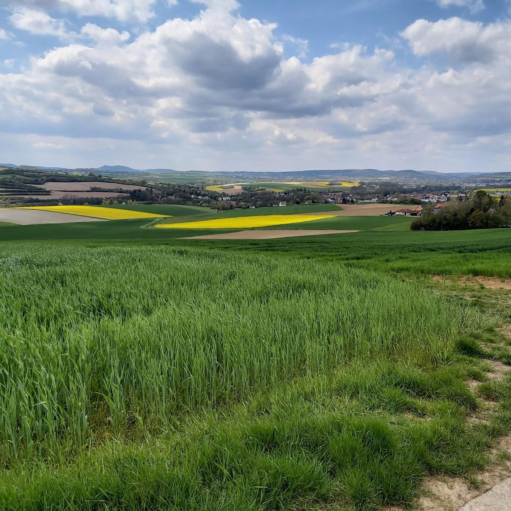
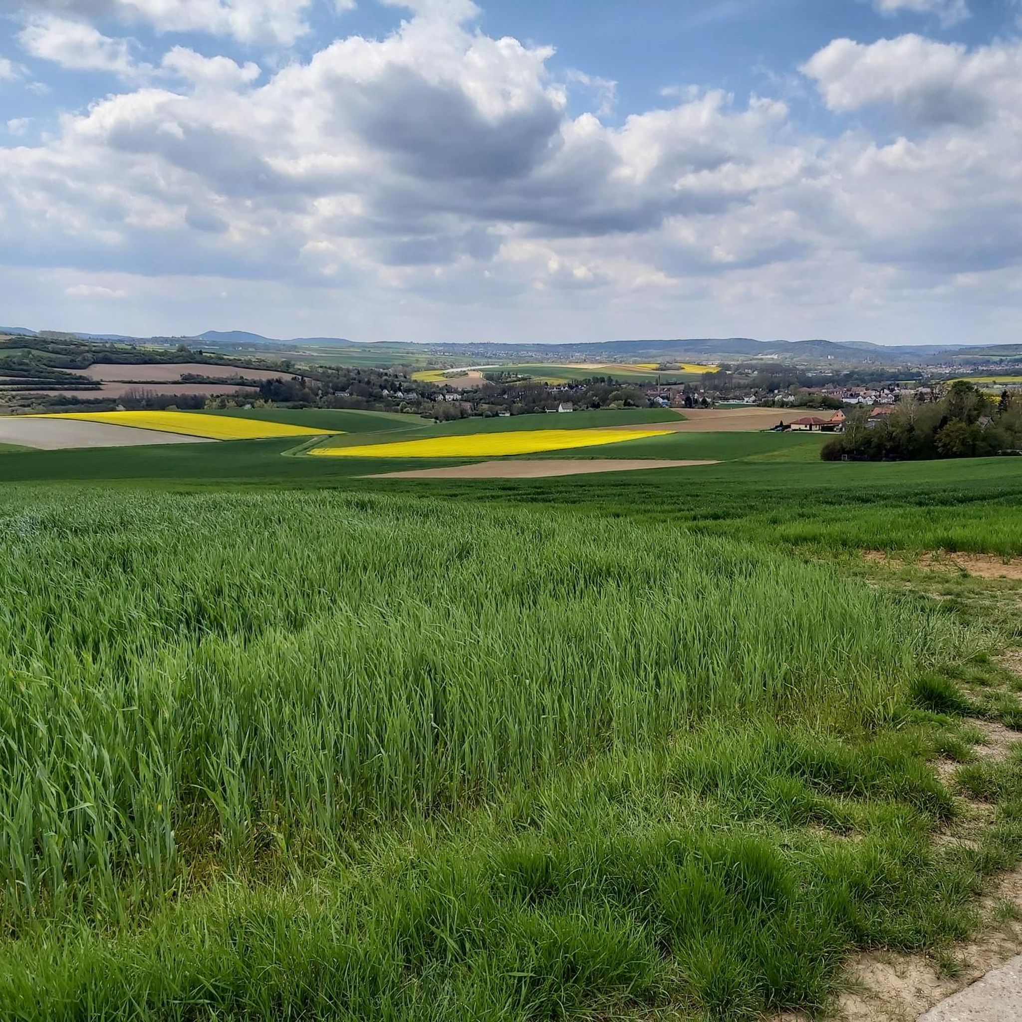
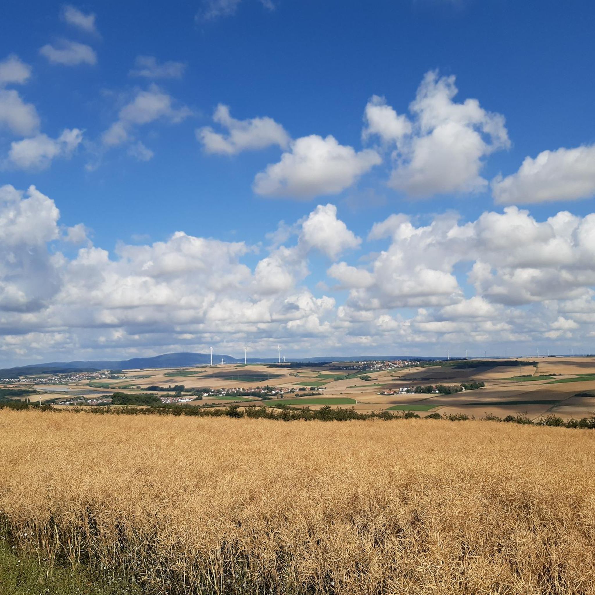
Best mountain peaks around Quirnheim are found in the surrounding Palatinate Forest, a low-mountain range in Rhineland-Palatinate, Germany. Quirnheim itself is situated on a rise at an elevation of approximately 273 to 310 meters above sea level, bordering this extensive forest area. This region, shared with the northern Vosges Mountains, forms a UNESCO-designated biosphere reserve. While Quirnheim does not feature towering peaks directly, it serves as a starting point for exploring the diverse elevated landscapes and nature around Quirnheim.
Best…
Last updated: October 4, 2026
Bismarck Tower on Peterskopf
Highlight • Monument
Showing Translation
Tip by

Kamelkopf Rock Formation
Highlight • Natural Monument
Translated by Google •
Tip by

Sign up now to discover places like this
Get recommendations on the best single tracks, peaks, & plenty of other exciting outdoor places.
Schlagbaum Trail Junction
Highlight • Trail
The quickest and easiest way is via the Weilach (Leistadt district).
From there, many hikes and bike tours are possible in all directions.
Towards …
Translated by Google •
Tip by

Toter Mann — summit cross with skull
Highlight • Summit
Translated by Google •
Tip by

Schlossberg
Highlight • Historical Site
Showing Translation
Tip by

Sign up for free to discover even more peaks around Quirnheim.
Already have an account?
Start today with a free account
Your next adventure awaits.
Tips from the Community

The Salierburg Stauf was founded around the year 1000 by Konrad v. Kärnten. Ulrich v Stauf in 1175, the Dukes of Zweibrücken from 1238, Heinrich von Sponheim from 1378, and the Lords of Nassau and Saarbrücken from 1500 were the owners of the castle. In the peasant uprising of 1525, the castle was destroyed and was uninhabited afterwards. After the Thirty Years' War in 1648, it served as a quarry for the reconstruction of the village of Stauf. It is the oldest Salierburg in the Palatinate. The last owner was the Gienanth family from Eisenberg. Today it is owned by the city of Eisenberg.
0
0

Original and fitting for the hill's name
0
0

This impressive rock on the Leininger Burgenweg actually looks a bit like a camel's head.
2
2

From the barrier, easy-to-drive forest roads branch off in all directions.
0
0

Origin of name according to Wikipedia: The mountain was originally called “Spießberg”. It owes its current name to two tragic events. In 1617, “a dead man” was found on the path and the Ganerben forester ordered the body to be buried on the spot. In 1787, below the mountain, in the Langental (Zwingweiler desert), “a dead man was found and is actually still lying on the blaz”. An administration examined the body and determined the cause of death to be a stroke. The dead man was a shepherd named Christoph Vollmar from Carlsberg. Popularly known as this for a long time, Bavarian maps from the period after 1830 definitively identify the mountain as the “Dead Man”.
4
0


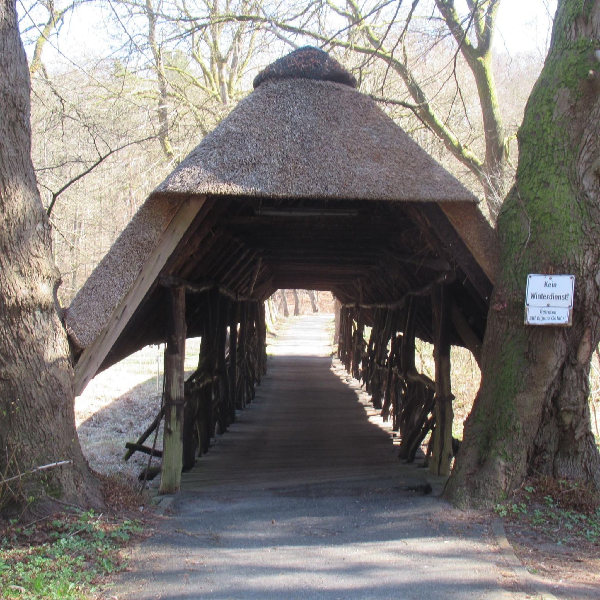
Surprising sight in the Palatinate Forest. Funny staged.
0
0

If you know your way around or have a local guide, you have many interesting options from the impact area. E.g. Trail down to Hardenburg, or trail up to the Bismarck Tower.
3
0
Frequently Asked Questions
What kind of mountain peaks can I expect to find around Quirnheim?
While Quirnheim itself is situated on a rise, it serves as an excellent starting point for exploring the surrounding Palatinate Forest, a low-mountain range and UNESCO-designated biosphere reserve. You'll find diverse elevated landscapes, including natural rock formations, historical observation towers, and scenic viewpoints rather than towering, alpine-style peaks.
Are there any prominent natural peaks or high points in the wider Palatinate region?
Yes, for more prominent natural high points, the Palatinate region offers several. The Kalmit, at 672.6 meters, is the highest peak in the Palatinate Forest, offering extensive views and rock formations. Further north, the Donnersberg, at 695 meters, is the highest mountain in the entire Palatinate region, known for its hiking and historical significance.
What are some popular viewpoints or observation towers near Quirnheim?
You can visit the Bismarck Tower on Peterskopf, a monumental observation tower built in 1902, offering fantastic views of the Palatinate Forest and the Rhine plain. Another popular spot is the Bismarck Tower, Kallstadt, which also provides great views and has a kiosk.
Are there any unique natural rock formations to see?
Absolutely! The Kamelkopf Rock Formation is a natural monument that strikingly resembles a camel's head. This impressive red sandstone formation is located on the Kupferberg in the Palatinate Forest and is a popular spot for hikers.
What kind of hiking trails are available around Quirnheim?
The area around Quirnheim, particularly within the Palatinate Forest, boasts an extensive network of hiking trails. You can find routes ranging from easy to moderate. For specific routes, check out our guide on Hiking around Quirnheim, which includes options like the 'Quirnheim Airfield – Asselheim Wine Hikers' Hut loop'.
Are there family-friendly options for exploring the peaks?
Yes, several spots are suitable for families. The Bismarck Tower, Kallstadt, is considered family-friendly and has facilities like a kiosk. The Schlagbaum Trail Junction is also noted as family-friendly, offering various well-signposted paths and places to rest.
What other outdoor activities can I do near Quirnheim's elevated areas?
Beyond hiking, the region offers excellent opportunities for cycling. You can explore various road cycling routes, such as those detailed in our guide Road Cycling Routes around Quirnheim. There are also options for gravel biking, with routes like the 'View of Battenberg Castle – Wattenheim Cottage loop' found in our Gravel biking around Quirnheim guide.
What historical sites can be found on or near these elevated points?
Many of the elevated points have historical significance. Both the Bismarck Tower on Peterskopf and the Bismarck Tower, Kallstadt, are historical monuments. Additionally, the Toter Mann summit cross has a unique historical origin story related to its name.
What do visitors particularly enjoy about the mountain peaks and elevated areas around Quirnheim?
Visitors frequently appreciate the stunning views over the Palatinate Forest and the Rhine plain from various viewpoints. The extensive network of well-maintained hiking trails, the unique natural rock formations, and the historical significance of the observation towers are also highly valued. The area is known for its natural beauty and diverse outdoor experiences.
Are there places to eat or rest near the mountain trails?
Yes, some popular spots offer amenities. The Bismarck Tower, Kallstadt, has a kiosk that serves warm food and cakes. The Bismarck Tower on Peterskopf also has a kiosk and benches for resting. Additionally, the Schlagbaum Trail Junction provides tables and benches, making it a good spot for a break.
What is the highest point in the immediate vicinity of Quirnheim?
Quirnheim itself is situated on a rise at an elevation of approximately 273 to 310 meters above sea level. While it doesn't have towering peaks directly within its borders, it offers elevated terrain locally, including a site for model aircraft, providing local high points for views over the surrounding landscape.
Most popular routes around Quirnheim
Most popular attractions around Quirnheim

Get inspired with the komoot mobile app


Explore more
See even more amazing summits around Quirnheim with these guides:
