The best cycling routes in Mount Whitfield Conservation Park
4.9
(13)
322
riders
22
rides
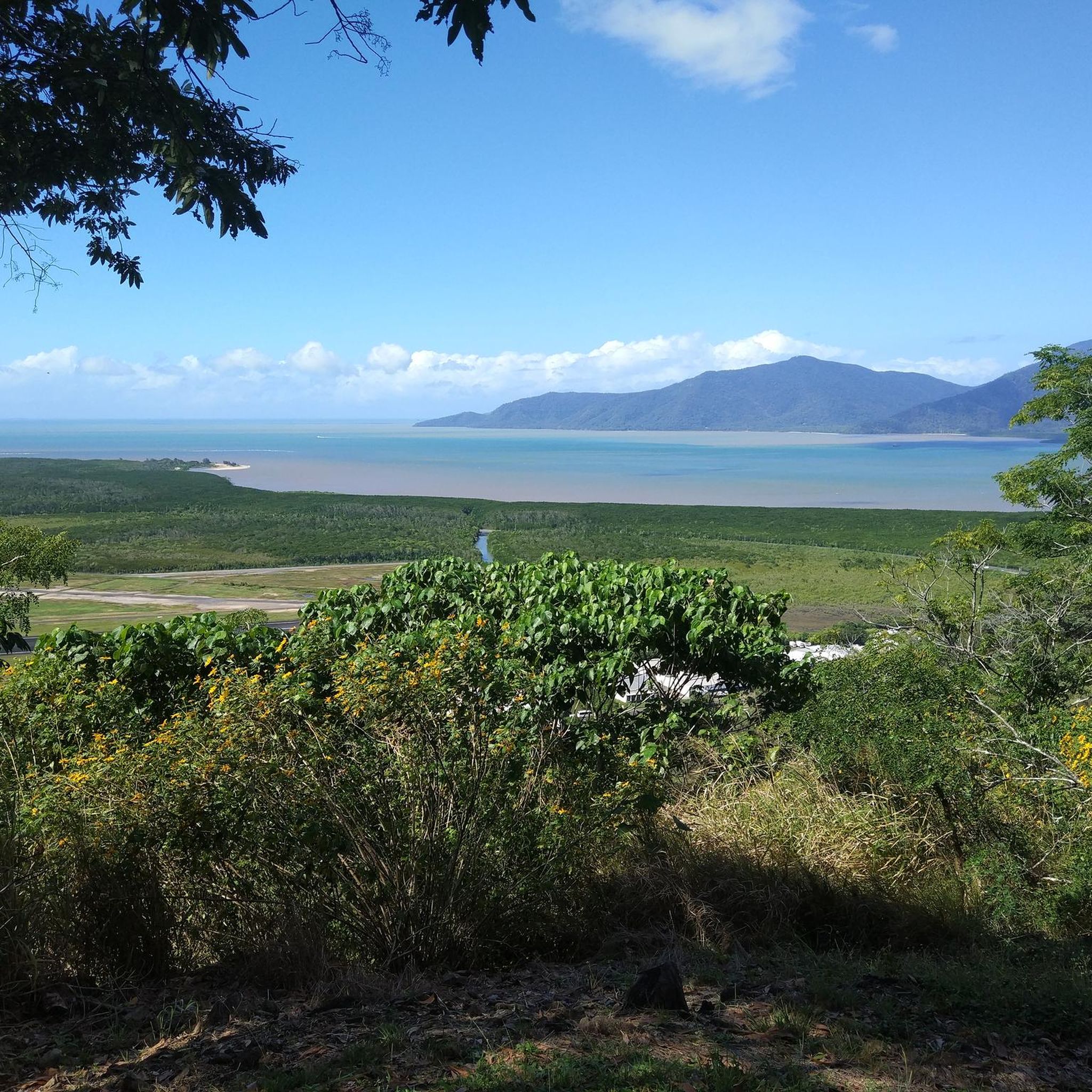
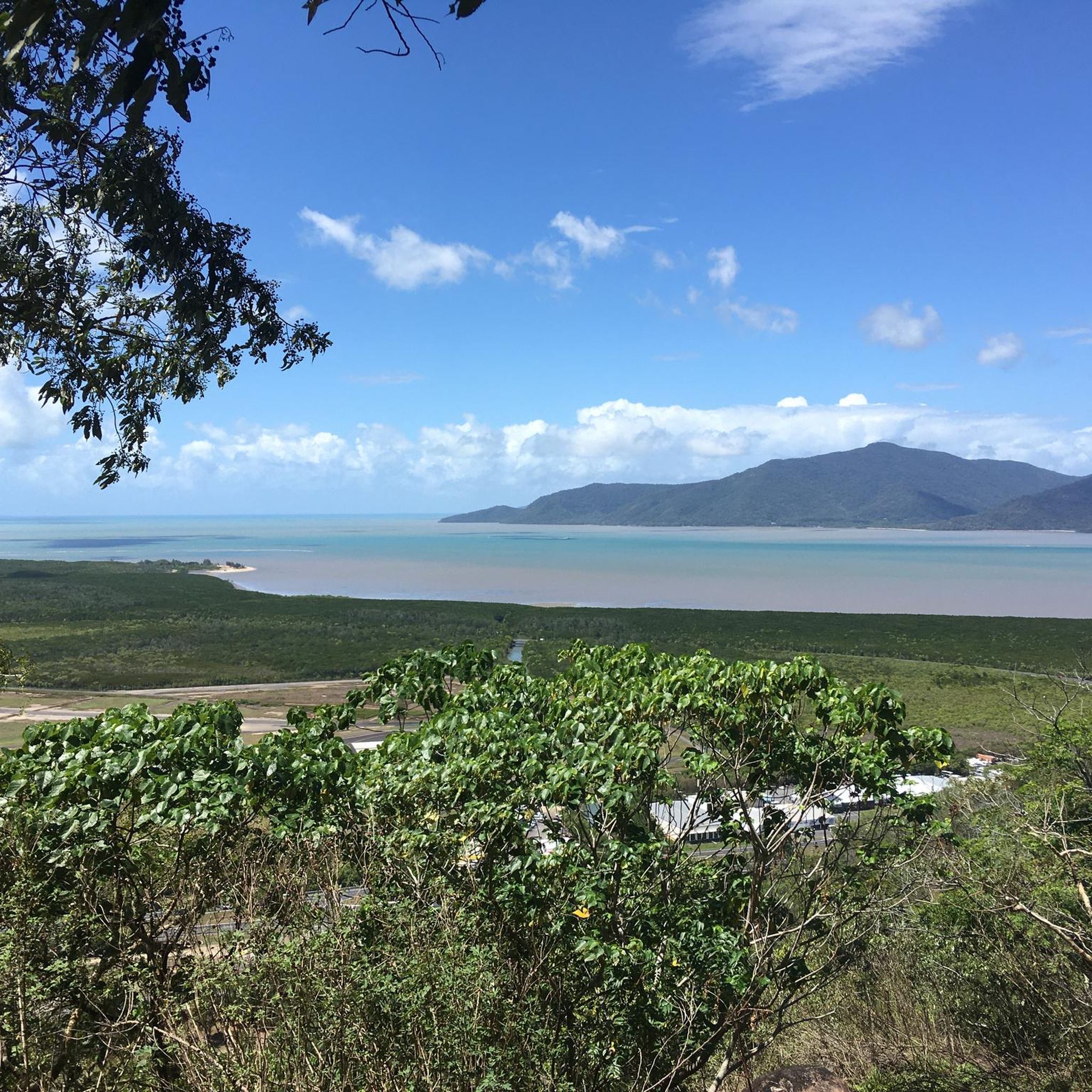
Touring cycling routes in Mount Whitfield Conservation Park navigate the rainforest-clad slopes of the Whitfield Range, which forms a natural backdrop to Cairns. The landscape features a mix of closed and open forests, including vine forests and woodlands dominated by eucalypts. While the park is known for its walking trails and mountain biking, touring cycling routes often utilize the surrounding areas, offering views of Cairns city, Trinity Bay, and coastal mangrove forests. The terrain includes gentle rises and more significant…
Last updated: July 10, 2026
5.0
(2)
8
riders
20.7km
01:10
40m
40m
Easy bike ride. Great for any fitness level. Mostly paved surfaces. Suitable for all skill levels.
9
riders
32.5km
01:58
190m
190m
Moderate bike ride. Good fitness required. Mostly paved surfaces. Suitable for all skill levels.

Sign up for free
5.0
(1)
15
riders
Easy bike ride. Great for any fitness level. Mostly paved surfaces. Suitable for all skill levels.
14
riders
15.3km
00:56
30m
30m
Easy bike ride. Great for any fitness level. Mostly paved surfaces. Suitable for all skill levels.
11
riders
Easy bike ride. Great for any fitness level. Mostly paved surfaces. Suitable for all skill levels.
Get access to more routes and recommendations from other explorers.
Sign up for free
Already have an account?
Our route recommendations are based on thousands of hikes, rides, and runs completed by other people on komoot.
Start today with a free account
Your next adventure awaits.
Login or Signup

Tips from the Community

This is a popular local swimming area with clear freshwater pools and shady banks in a relaxed natural setting. Nestled right along the path, it’s a refreshing place to cool off, especially during warmer months.
0
0
Redlynch Cycle Path is a shared walking and cycling route that connects Brinsmead with Redlynch Valley, passing through edges of rainforest, cane fields, parks, and suburban green spaces. It’s a mostly paved route that follows sections of Freshwater Creek and is popular for walking, jogging, cycling, and family outings due to its gentle grade and picturesque surroundings. There are peaceful creek crossings, shaded stretches, and peeks of the surrounding mountains of the Redlynch Valley along the way.
0
0

Glenoma Park is a small parkland area set along Freshwater Creek. The space features open grass with the creek forming a natural edge, along with a simple walking path running through. Compared to larger parks, it has minimal built facilities, with a more open and low-key setting.
0
0
Goomboora Park combines open grassed areas with sections of tropical vegetation along Freshwater Creek. The park includes sports fields, walking paths, and picnic areas, with access points leading down to the creek.
0
0
Freshwater Creek runs through a shaded corridor of tropical vegetation with clear, shallow sections over rocks and sand. In parts, the trail comes right down to the water, with small crossings where you’ll need to step across stones or through the creek.
0
0

The Cairns Botanic Gardens is a tropical paradise and an education centre on Australia's flora and horticulture. The gardens are free to visit and open every day from 7:30 am to 5:30 pm, though they may close in bad weather. The visitor centre and café are open 8:30 am to 4 pm weekdays and 9:30 am to 2 pm weekends and holidays.
0
0
In this part of Barron Gorge National Park, the landscape shifts into dense tropical rainforest cut through by Stoney Creek. The gorge here is narrower and more enclosed, with large granite boulders, flowing water, and thick vegetation closing in around the creek. There’s no entry fee, and access is straightforward from the Stoney Creek Trailhead.
0
0
This monument honours the Z Special Unit, or Z Force, an Allied special operations group formed during World War II. It recognises the brave men who trained in Cairns and executed covert missions behind Japanese lines in Southeast Asia, including the famous raid on Singapore Harbour. This memorial pays tribute to a multinational force, mainly Australian, along with British, Dutch, New Zealand, Timorese, and Indonesian members, who risked their lives in these operations.
0
0
Frequently Asked Questions
How many touring cycling routes are available in Mount Whitfield Conservation Park?
There are over 30 touring cycling routes available in and around Mount Whitfield Conservation Park, catering to various skill levels. These include 16 easy routes, 13 moderate routes, and 1 difficult route.
What kind of terrain can I expect on touring cycling routes in Mount Whitfield Conservation Park?
The routes navigate the rainforest-clad slopes of the Whitfield Range, offering a mix of closed and open forests. You'll encounter gentle rises and more significant climbs, with prominent hills like Mount Whitfield (360m) and Lumley Hill (290m). While the park itself is known for walking and mountain biking, touring routes often utilize surrounding areas with varied landscapes.
Are there any family-friendly touring cycling routes?
Yes, there are several easy routes suitable for families. For instance, the Cairns Esplanade Lagoon – Hemingway's Brewery Cairns loop from Edge Hill is an easy 8.9 km ride with minimal elevation, perfect for a relaxed outing. Another option is the Coral Sea Brewing – Hemingway's Brewery Cairns loop from Whitfield, which is 15 km and also rated easy.
Can I find routes with scenic viewpoints?
Absolutely. Many routes offer stunning views. The McArthur Lookout – Campbells Lookout loop from Cairns North is a moderate route that includes elevation gain, leading to lookouts with panoramic views over Cairns city and Trinity Bay.
Are there any routes that feature waterfalls?
Yes, you can explore routes that lead to natural attractions like waterfalls. The Barron Gorge Waterfall loop from Whitfield is a moderate 37.6 km trail that takes you through varied landscapes towards the impressive Barron Gorge.
What wildlife might I see while cycling in the area?
Mount Whitfield Conservation Park is rich in wildlife. You might spot Australian brush-turkeys and orange-footed scrubfowls. During the summer months (early November to late March), migratory buff-breasted paradise-kingfishers are also present. Red-legged pademelons are commonly seen, and swamp and agile wallabies may also be encountered.
Is Mount Whitfield Conservation Park accessible by public transport, or is parking available?
The park is conveniently located less than 5km from central Cairns, making it easily accessible. While specific public transport details for route starting points vary, parking is generally available at key access points for the walking trails, which often serve as starting points or nearby areas for cycling routes. For detailed information on visiting safely, you can check the Queensland Parks and Wildlife Service website.
What is the best time of year to go touring cycling here?
The Cairns region experiences a tropical climate. The dry season (typically May to October) offers cooler temperatures and lower humidity, making it ideal for cycling. The wet season (November to April) brings higher humidity and rainfall, which can make some trails slippery, though the rainforest is particularly lush during this time.
Are there any circular touring cycling routes?
Yes, many of the touring cycling routes in the area are designed as loops. For example, the Narrow Tracks Distilling loop from Edge Hill is an easy 20.8 km circular route that offers a pleasant ride through urban fringes and green spaces.
What do other cyclists say about the touring routes in Mount Whitfield Conservation Park?
The touring cycling routes in Mount Whitfield Conservation Park are highly rated by the komoot community, with an average score of 4.9 stars from over 10 reviews. Cyclists often praise the varied terrain, scenic views, and the opportunity to experience the unique rainforest environment.
Are bikes allowed on the popular walking trails like the Red Arrow or Blue Arrow?
No, the Red Arrow and Blue Arrow trails within Mount Whitfield Conservation Park are designated walking tracks. While the broader Cairns region is known for mountain biking, and there are specific mountain biking trails, touring cycling routes typically utilize roads and dedicated cycle paths in the surrounding areas, not the conservation park's primary walking trail network. For official park information, please refer to the Queensland Parks and Wildlife Service website.
Where can I find amenities like cafes near the cycling routes?
Given the park's proximity to Cairns, you'll find numerous amenities, including cafes and restaurants, in the nearby suburbs like Edge Hill and Whitfield, which are common starting points for many routes. The routes often pass through or near urban areas where such facilities are readily available.
Most popular routes in Mount Whitfield Conservation Park

Get inspired with the komoot mobile app


Explore more
Browse the best Cycling routes in other regions.
