The best running trails in Korung National Park
4.8
(5)
312
runners
13
runs
Jogging routes in Korung National Park are situated less than an hour's drive southeast of Perth, Western Australia, within a region characterized by diverse landscapes. The park features dense Jarrah and Marri forests, providing shaded trails and a varied understory. Its terrain includes undulating forest management tracks, short hills, and areas with significant natural features like Victoria Dam and Bickley Brook Reservoir, offering a range of running experiences.
Best jogging routes in Korung National Park
- The most popular jogging route…
Last updated: October 13, 2026
5
runners
Hard run. Very good fitness required. Mostly paved surfaces. Suitable for all skill levels.
4.0
(1)
10
runners
11.2km
01:27
260m
260m
Moderate run. Good fitness required. Mostly paved surfaces. Suitable for all skill levels.

5
runners
Hard run. Very good fitness required. Mostly paved surfaces. Suitable for all skill levels.
3
runners
3.73km
00:28
130m
130m
Moderate run. Good fitness required. Mostly accessible paths. Some sure footedness required.
5.0
(2)
52
runners
8.11km
01:03
380m
380m
Hard run. Very good fitness required. Mostly paved surfaces. Suitable for all skill levels.
Get access to more routes and recommendations from other explorers.
Already have an account?
Our route recommendations are based on thousands of hikes, rides, and runs completed by other people on komoot.
Start today with a free account
Your next adventure awaits.

Tips from the Community

Korung National Park spans more than 6,000 hectares of beautiful jarrah forest on the eastern edge of Perth in the Darling Scarp. The park is home to abundant native wildlife and includes a network of walking and mountain biking trails, with plenty of lookouts that offer expansive views across the Swan Coastal Plain. It’s a popular destination for bushwalking, birdwatching, and escaping into nature, just 45 minutes from the city.
0
0
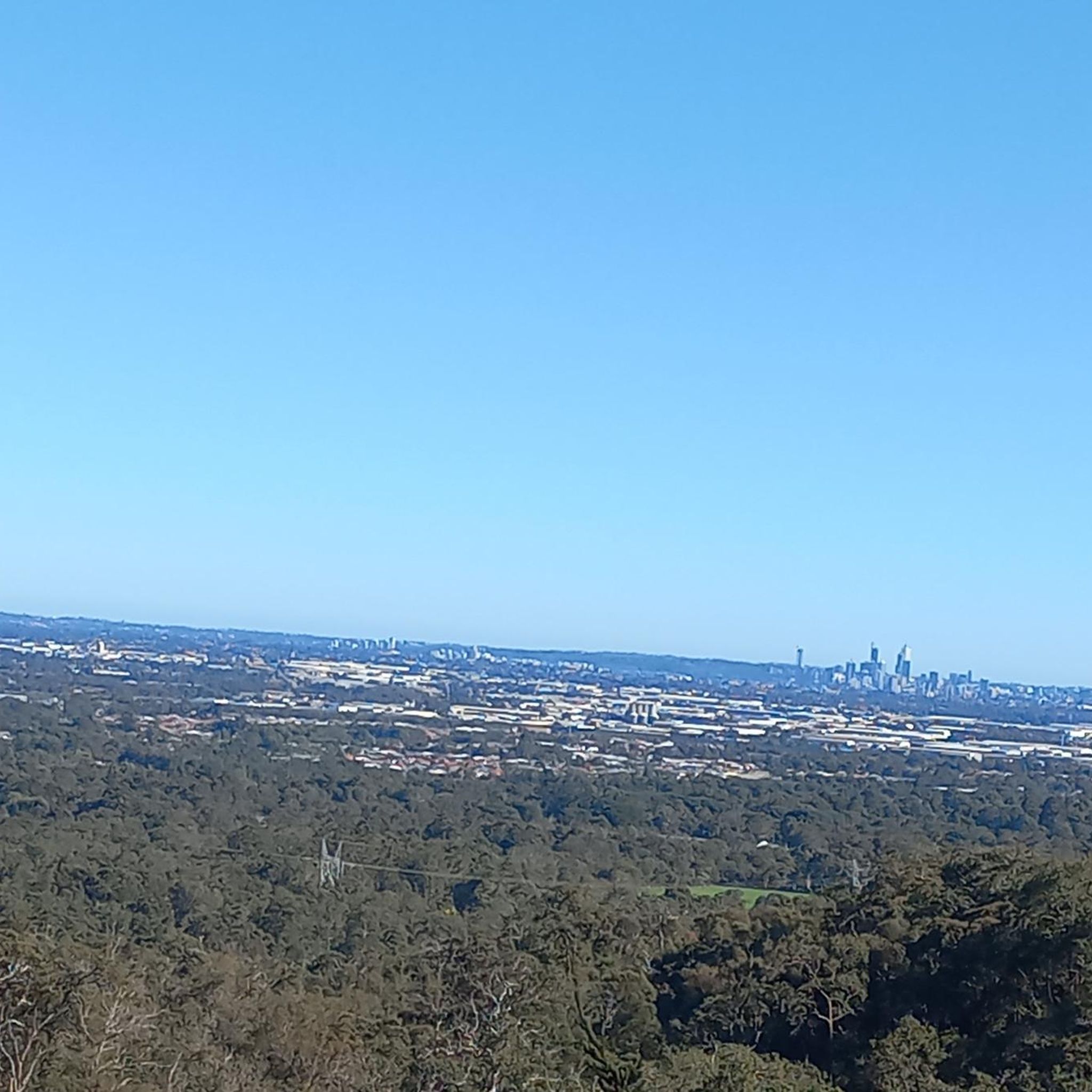
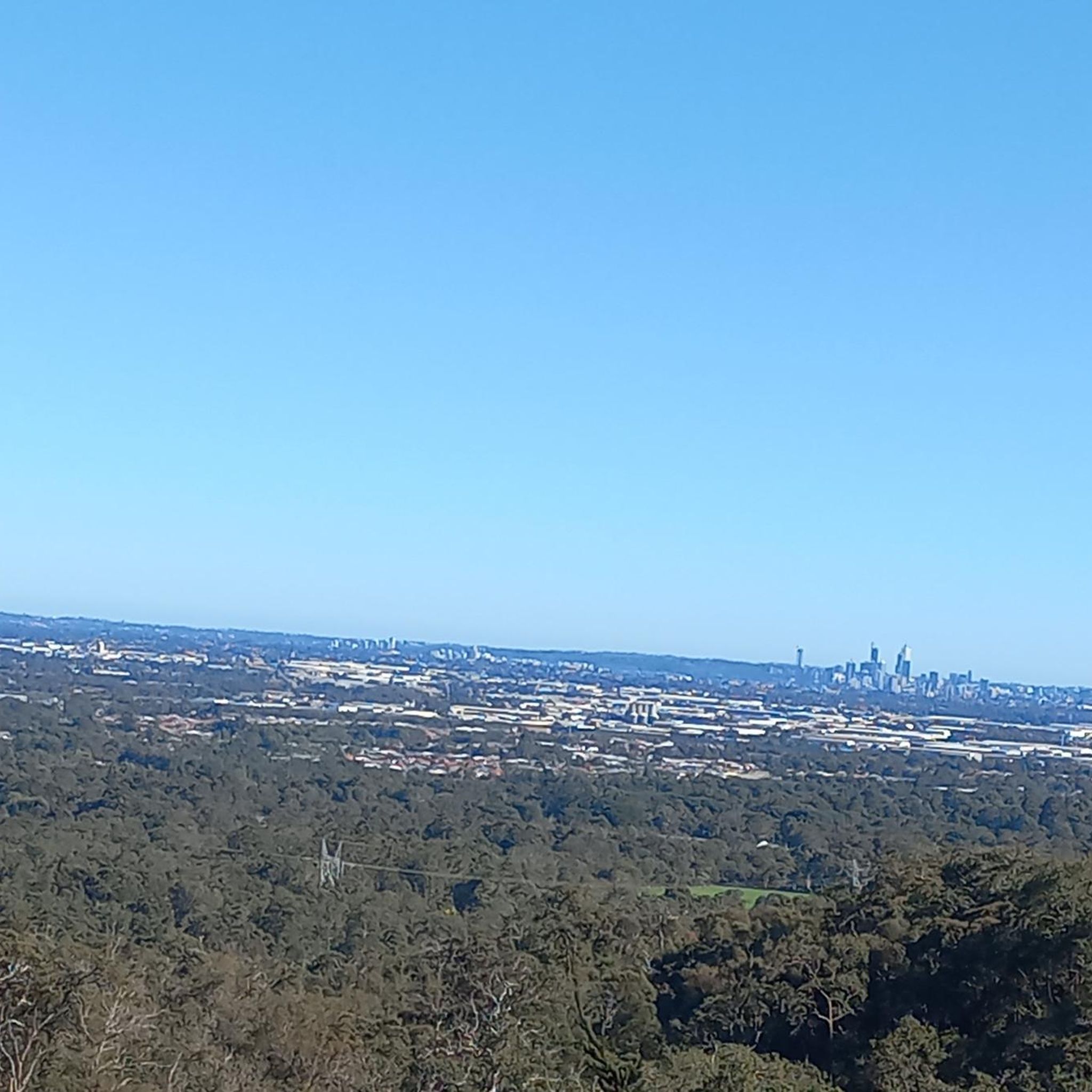
From this vantage point, you can see west across the jarrah-covered Perth Hills to the Swan Coastal Plain and the Perth skyline in the distance. On a clear day, you can see the city rise above the surrounding suburbs, creating a beautiful contrast between the urban landscape and the native bush.
0
0
Mundy Regional Park sits on the western edge of the Darling Scarp, about 22 kilometres east of Perth, and is known for its beautiful views across the Swan Coastal Plain. There is an extensive network of walking trails that wind through jarrah and marri forest, past granite outcrops and waterfalls, with colourful wildflowers blooming from late winter into spring. Just a short drive from the city, it’s a popular destination for walking, birdwatching and picnicking, and one of the best places to enjoy the natural landscapes of the Perth Hills.
0
0

This path forms an easy circuit through Korung National Park's jarrah and marri forests. It's a relatively flat track with plenty of shade, which makes it a great option for those looking for a nice outing that isn't too strenuous. There are a lot of other trails in this part of the park and it's easy to end up on another route, so make sure to have your komoot app handy. Also, mountain biking is popular here as well so keep an eye out for those enjoying the trails on two wheels.
0
0
Known for its jarrah forests, Korung National Park sits just an hour outside of Perth. The park is popular with hikers and mountain bikers, but be aware that there are limited facilities, so it's best to come prepared to be self- sufficient.
0
0

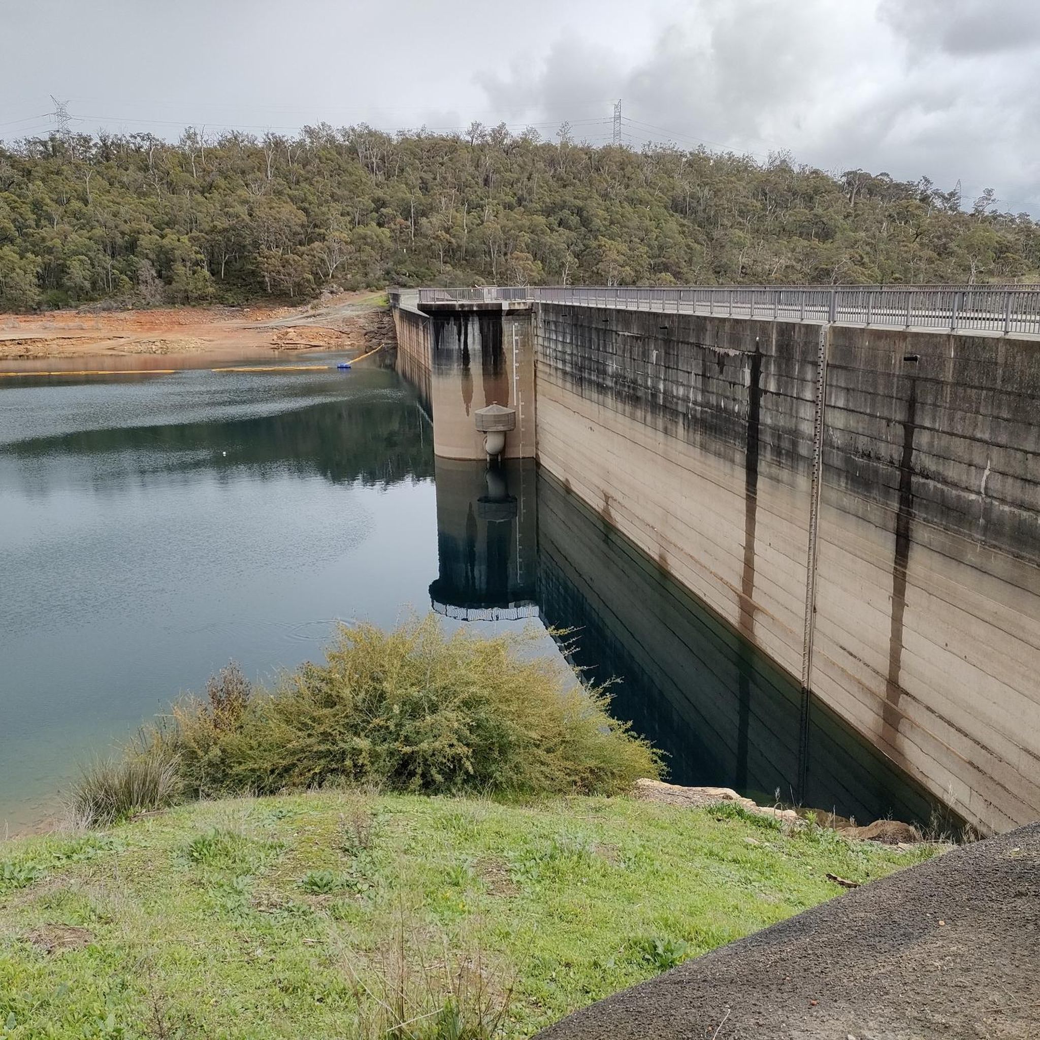
Victoria Reservoir Walk Trail is a challenging loop through a historic section of Korung National Park, descending from the valley rim into the reservoir catchment before climbing back out. Along the way, you’ll pass the preserved ruins of the original Victoria Dam, completed in 1891, with information boards explaining its history. A section of the old dam wall remains visible beneath the newer structure, alongside a grassed picnic area. The trail moves through Australian bushland with steady elevation changes, and in spring, wildflowers cover the forest floor. Surfaces can be uneven and loose underfoot.
0
0
The Whistlepipe Gully Trail is one of the most popular bushwalks in Mundy Regional Park, following the edge of a scenic valley through jarrah forest in the Perth Hills. The trail winds alongside the gully with the sound of flowing water after winter and spring rains, when small waterfalls appear among the granite rocks. Along the way the track alternates between wider sections and narrower, rocky passages, with the occasional scramble over stones or fallen logs. Spring brings colourful wildflowers like kangaroo paw and wattle, while several viewpoints open up to sweeping views across the valley toward Perth.
0
0
Whistlepipe Gully is the scenic valley at the heart of Mundy Regional Park and one of the most popular bushwalking areas in the Perth Hills. The gully cuts through jarrah forest and granite slopes, creating a cooler, sheltered landscape compared to the surrounding hills. After winter rains, a small creek flows through the gully and forms seasonal waterfalls that cascade over the granite rocks.
0
0
Frequently Asked Questions
How many running routes are available in Korung National Park, and what's their general difficulty?
Korung National Park offers over 35 running routes. These include a variety of options, with approximately 20 routes considered moderate and 15 routes rated as difficult, ensuring choices for different fitness levels.
What kind of terrain can I expect on the running trails in Korung National Park?
The running trails in Korung National Park feature diverse terrain. You'll primarily encounter lush Jarrah and Marri forests, providing ample shade. The routes often include undulating forest management tracks, some short steep hills, and natural surfaces. Many trails also meander past tranquil water features like Victoria Dam and Bickley Brook Reservoir.
When is the best time of year to go running in Korung National Park?
Spring is a particularly beautiful time for running in Korung National Park, as the park transforms with spectacular displays of wildflowers, including various orchid species and yellow wattles. The dense forests also offer welcome shade during warmer months, making it enjoyable even when temperatures rise.
Are there any easy or family-friendly running options in Korung National Park?
Yes, there are options suitable for easier runs. While most routes are moderate to difficult, there is at least one easy route available. The Carmel Walking Trail, mentioned in regional research, is described as a 'gentle circuit' and relatively flat, making it ideal for a peaceful run or walk. For a slightly longer, moderate option, consider the Running loop from Karragullen, which is 6.3 miles (10.1 km) through native bushland.
Are dogs allowed on the running trails in Korung National Park?
The provided information does not explicitly state whether dogs are allowed on all running trails in Korung National Park. It's always best to check the official park regulations or local signage regarding pet policies before heading out with your dog.
Are there any circular running routes in Korung National Park?
Yes, many of the running routes in Korung National Park are designed as loops. For example, the popular Bickley Brook Reservoir loop from Silverdale Road Reserve offers an extensive 15.3-mile (24.6 km) circuit. Other notable loops include the Running loop from Carmel and the Running loop from Orange Grove, providing varied distances and experiences.
What are some notable natural features or viewpoints I might encounter while running?
While running in Korung National Park, you can expect to see dense Jarrah and Marri forests, vibrant wildflower displays in spring, and tranquil water features like Victoria Dam and Bickley Brook Reservoir. For expansive views, the Lions Lookout offers picturesque panoramas over the Perth Coastal Plain and the Bickley Brook valley, rewarding runners with stunning scenery.
Is there public transport available to Korung National Park?
Korung National Park is located less than an hour's drive southeast of Perth. While the guide doesn't specify direct public transport routes into the park, it's generally accessible by car. For specific bus routes or public transport options to nearby towns like Carmel, Pickering Brook, or Kalamunda, it would be advisable to consult local public transport schedules.
What do other runners enjoy most about jogging in Korung National Park?
The running routes in Korung National Park are highly rated by the komoot community, with an average score of 4.8 stars from over 5 reviews. Runners often praise the park's dense Jarrah and Marri forests, the varied terrain, and the tranquil water features, which combine to create a beautiful and engaging running experience.
Are there any cafes or pubs near Korung National Park for post-run refreshments?
While the guide focuses on the park's trails, Korung National Park is situated near several small towns. You can find cafes and pubs in nearby areas such as Carmel, Pickering Brook, and Kalamunda, which are good options for refreshments after your run.
What is the elevation gain like on some of the more challenging routes?
Some of the more challenging routes in Korung National Park feature significant elevation changes. For instance, the difficult Bickley Brook Reservoir loop from Silverdale Road Reserve includes an elevation gain of over 560 meters. Even moderate routes like the Running loop from Carmel can have an elevation gain of around 250 meters, offering a good workout.
Are there any entry fees or permits required to run in Korung National Park?
The provided information does not mention specific entry fees or permits for running in Korung National Park. However, it's always recommended to check the official website of the Department of Biodiversity, Conservation and Attractions (DBCA) for Western Australian national parks for the most current information on park entry fees or permit requirements.
Most popular routes in Korung National Park

Get inspired with the komoot mobile app


Explore more
Browse the best Running Trails & Routes in other regions.
